Souther Fell

Overview
Height: 1,712 Feet - 522 Metres
Grid Ref: NY 354 291
Area: Northern
Group: BLE
Ordnance Survey: OL5
Wainwright Guidebook: Five

"The Spectrak Army of Soutra Fell"

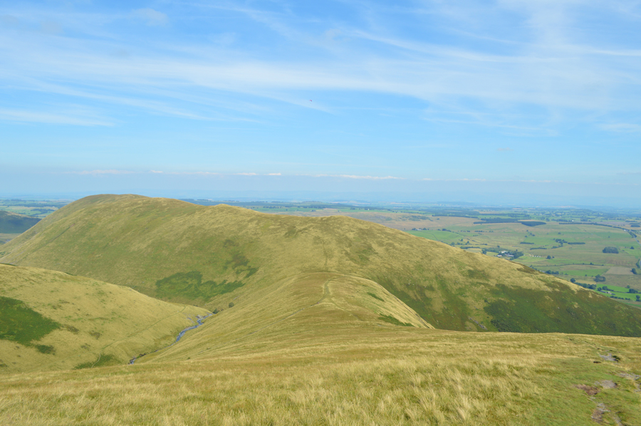
On the evening of Midsummers Day 1745, a line of marching troops, cavalry and even carriages was seen travelling along the summit ridge of Souther Fell. The ground over which they appeared to move was known to be too steep for such transport, but the procession continued unabated for some hours until night fell, constantly appearing at one end of the ridge and disappearing at the other.
26 sober and respected witnesses were assembled to view the proceedings and later testified on oath to what they had seen. The next day Souther Fell was climbed and not a footprint was found on the soft ground of the ridge.
One scientific explanation offered was that this was some bizarre mirage or reflection of the army of Bonnie Prince Charlie, that day exercising on the Scottish coast, while another explanation suggests that the sighting was originally misidentifying the smoke from Germanic bonfire rituals, with the story of the "Spectral Army" evolving over the years through transmission and adaptation in the popular press.


Map and Photo Gallery


Souther Fell seen over Mousthwaite Comb.

Bannerdale Crags East Ridge from Souther Fell South cairn.

Souther Fell summit plateau.

Souther Fell summit.


There are 9 walks to choose from including Souther Fell

Blencathra from Mungrisdale

View this walk

9th July 2023
ASCENT: 2,904 Feet - 885 Metres
MILES: 8.7
WAINWRIGHTS: 4. Bowscale Fell - Bannerdale Crags - Blencathra - Souther Fell
ROUTE: Mungrisdale - River Glenderamackin - Bannerdale - Bowscale Fell - Bannerdale Crags - Atkinson Pike - Blencathra - Doddick Fell Top - Scales Fell - Top of Mousthwaite Comb - Souther Fell - Low Beckside - Mungrisdale
 

Blencathra from Mungrisdale

View this walk

1st January 2020
ASCENT: 2,850 Feet - 869 Metres
MILES: 8
WAINWRIGHTS: Bannerdale Crags - Blencathra - Souther Fell
ROUTE: Mungrisdale - River Glenderamackin - Bannerdale Crags East Ridge - Bannerdale Crags - Atkinson Pike - Blencathra - Scales Fell - Top of Mousethwaite Comb - Souther Fell - Low Beckside - Mungrisdale
 

Blencathra from Mungrisdale

View this walk

29th November 2018
ASCENT: 2,850 Feet - 869 Metres
MILES: 8
WAINWRIGHTS: Bannerdale Crags - Blencathra - Souther Fell
ROUTE: Mungrisdale - River Glenderamackin - Bannerdale Crags East Ridge - Bannerdale Crags - Atkinson Pike - Blencathra - Scales Fell - Top of Mousethwaite Comb - Souther Fell - Low Beckside - Mungrisdale
 

Walking the Birketts, Bannerdale Horseshoe

View this walk

18th August 2018
ASCENT: 2,201 Feet - 671 Metres
MILES: 7
BIRKETTS: 4, Bowscale Fell East Top - Bowscale Fell - Bannerdale Crags - Souther Fell
ROUTE: Mungrisdale - Bowscale Fell East Top - Bowscale Fell - Top of Bannerdale Crags - Bannerdale Crags - White Horse Bent - River Glenderamackin - Mousthwaite Comb - Souther Fell South Top - Souther Fell Mungrisdale
 

Blencathra from Mungrisdale

View this walk

5th February 2017
ASCENT: 2,850 Feet - 869 Metres
MILES: 8
WAINWRIGHTS: Bannerdale Crags - Blencathra - Souther Fell
ROUTE: Mungrisdale - River Glenderamackin - Bannerdale Crags East Ridge - Bannerdale Crags - Atkinson Pike - Blencathra - Scales Fell - Top of Mousethwaite Comb - Souther Fell - Low Beckside - Mungrisdale
 

Walking the Wainwrights in 30 Walks Walk 27 - The Back O'Blencathra

View this walk

16th August 2016
ASCENT: 4,805 Feet - 1,465 Meters
MILES: 16.5
WAINWRIGHTS: 7, Carrock Fell - High Pike (Caldbeck) - Bowscale Fell - Bannerdale Crags - Mungrisdale Common - Blencathra - Souther Fell
ROUTE: Mungrisdale - Mosedale - Further Gill Syke - Carrock Fell - Miton Hill - High Pike (Caldbeck) - Cumbrian Way - Grainsgill Beck - River Caldew - Bowscale Fell north ridge - Bowscale Fell - Bannerdale Crags - Glederamackin Col - Mungrisdale Common - Blencathra - Scales Fell - Top of Mousthwaite Comb - Souther Fell - Mosedale
 

Souther Fell, Blencathra and the Hall's Fell Ridge

View this walk

19th March 2016
ASCENT: 2,866 Feet - 874 Meters
MILES: 7
WAINWRIGHTS: 2, Souther Fell - Blencathra
ROUTE: Mungrisdale - Low Beckside - Souther Fell - Top of Mousthwaite Comb - Scales Beck - Scale Tarn - Sharp Edge - Scales Tarn - Scales Tarn Path - Blencathra - Hall's Fell Top - Hall's Fell Ridge - Gate Gill - Gategill Farm - Threlkeld
 

Bowscale Fell to Souther Fell from Mungrisdale


4th October 2014
ASCENT: 2,200 Feet – 671 Meters
MILES: 7.3
WAINWRIGHTS: 3, Bowscale Fell – Bannerdale Crags – Souther Fell
ROUTE: Mungrisdale – Bowscale Fell East Ridge – Bowscale Fell – Bannerdale Crags – White Horse Bent – River Glenderamackin – Top of Mousthwaite Comb – Souther Fell – Mungrisdale
 

The Mungrisdale Fells

View this walk

19th October 2013
ASCENT: 1,942 Feet, 592 Meters
MILES: 9.3
WAINWRIGHTS: 3, Souther Fell – Bannerdale Crags – Bowscale Fell
ROUTE: Mungrisdale – Low Beckside – Souther Fell – Mousthwaite Comb – River Glenderamackin – White Horse Bent – Bannerdale Crags – Bowscale Fell – Tarn Crags – Bowscale Tarn – Bowscale (Hamlet) – Mungrisdale
 

Souther Fell & the Bannerdale East Ridge

View this walk

8th September 2012
ASCENT: 2,360Ft, 719 Metres
MILES: 8.4
WAINWRIGHTS: 3, Souther Fell, Bannerdale Crags & Bowscale Fell
ROUTE: Inn – Souther Fell – River Glenderamackin – Bannerdale Crags East Ridge – Bannerdale Crags – Bowscale Fell – Tarn Crags – Bowscale Tarn – Bowscale Township – Mungrisdale Village – Mill Inn
 

The Bannerdale Round

View this walk

31st October 2010
ASCENT: 2,560Ft, 780 Mtrs
MILES: 8.7
WAINWRIGHTS: 3 Souther Fell, Bannerdale Crags & Bowscale Fell
ROUTE:  
 

Back to top