Walking the Birketts, Bannerdale Horseshoe

18th August 2018

Well, it looks like the heat wave is officially over but let's hope it's not the end of Summer just yet after all, it's only August. From midweek the forecast looked pretty drab from the start but this didn't stop me wanting to get out, for you see for sometime I'd started to feel like I'm becoming a 'fair weather walker' this, despite my busy lifestyle I don't want to slide in to.

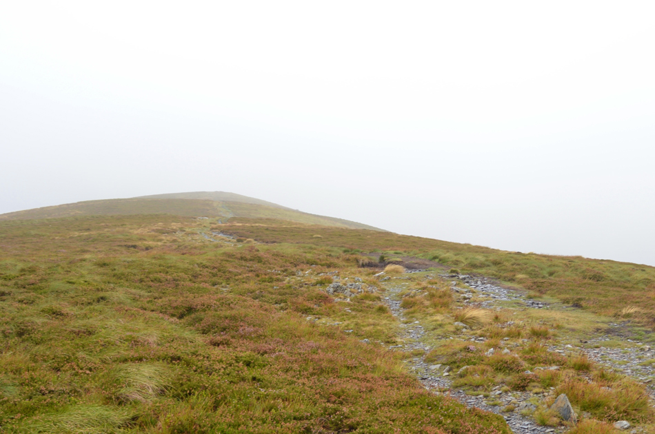
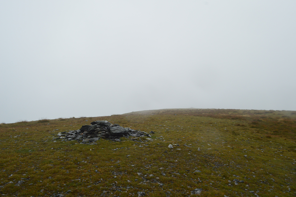
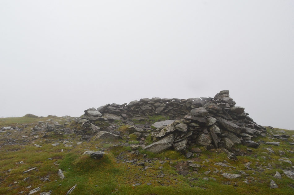
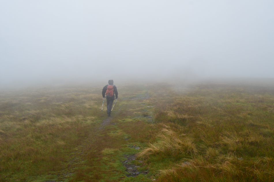
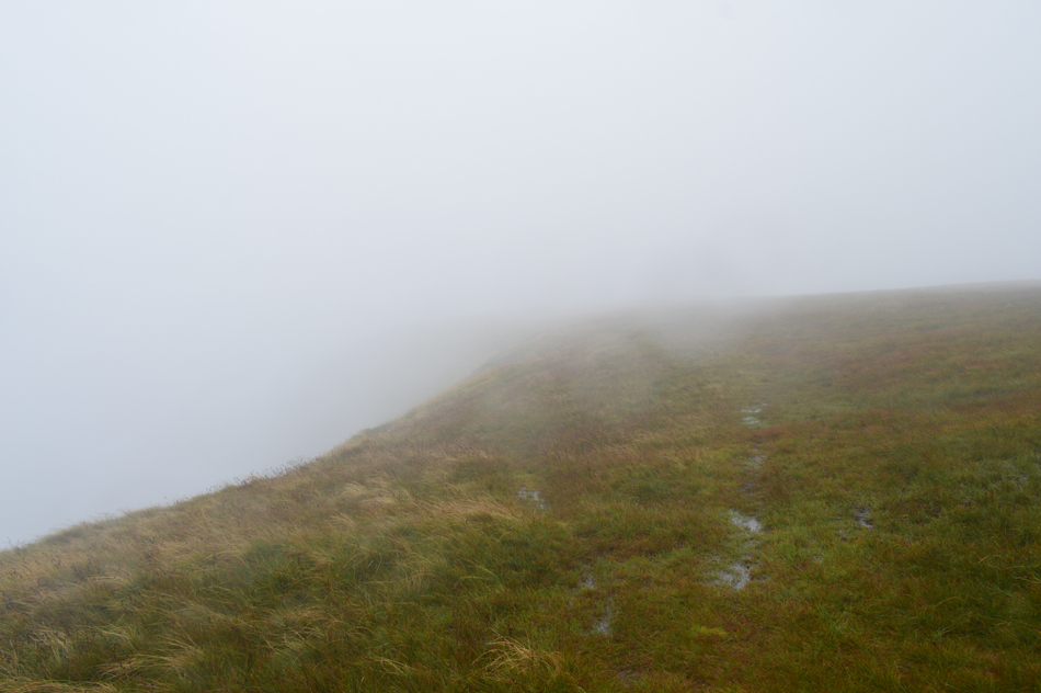
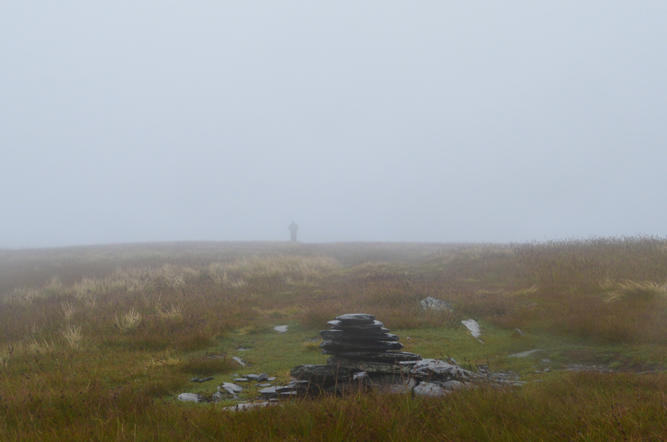
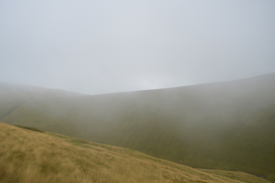
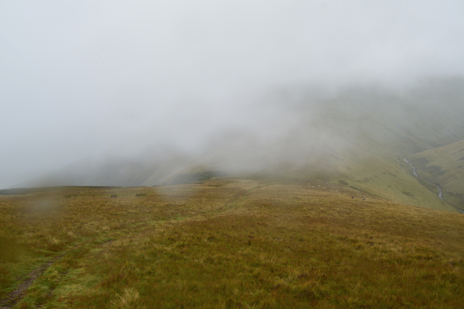
Rod threw the towel in after reading the forecast and I couldn't blame him but somehow I convinced David to join me on what can only be described as one the wettest and windiest walks we've endured to a point when even clothing and equipment let us down all the while morale maintained at a constant high, that I feel is hugely important.

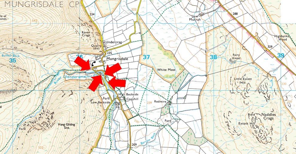
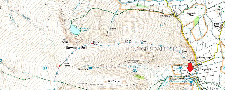
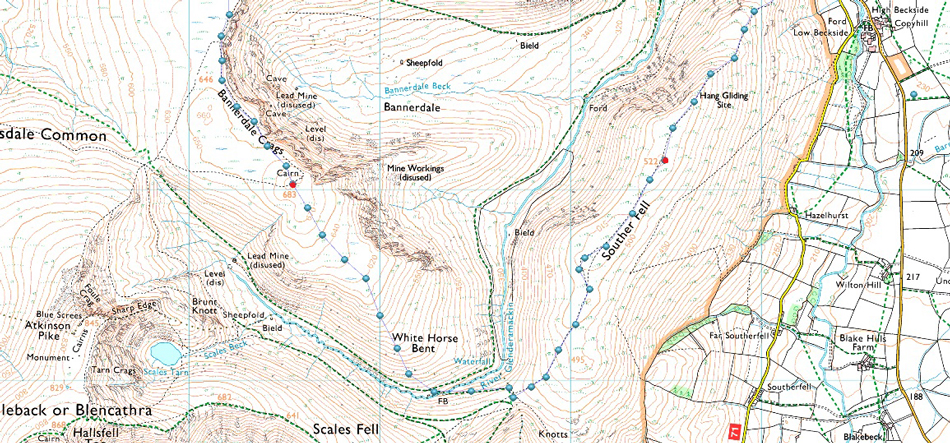
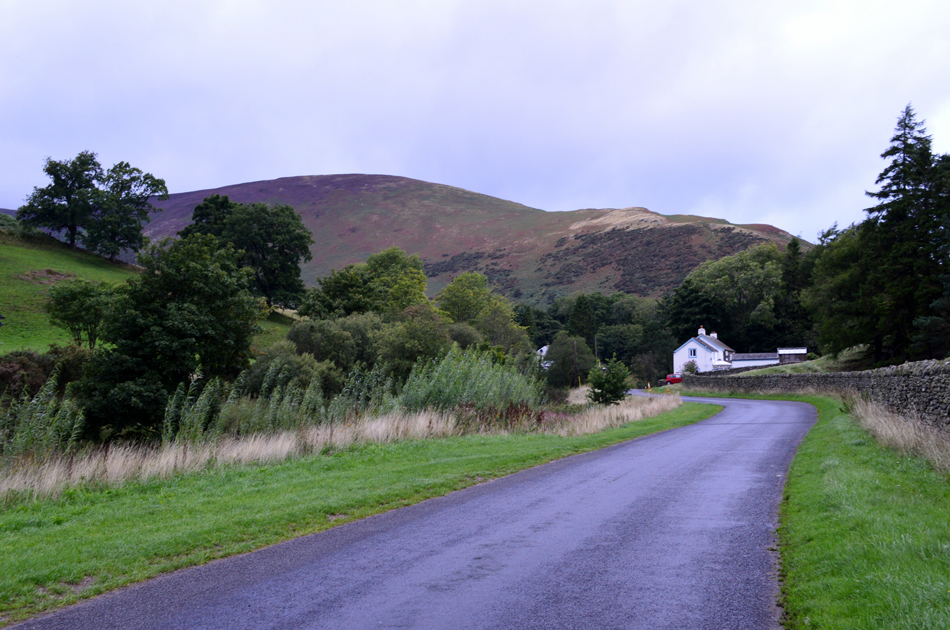
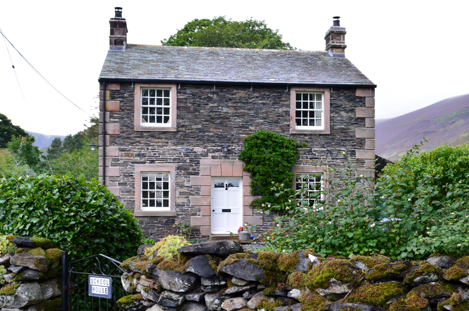
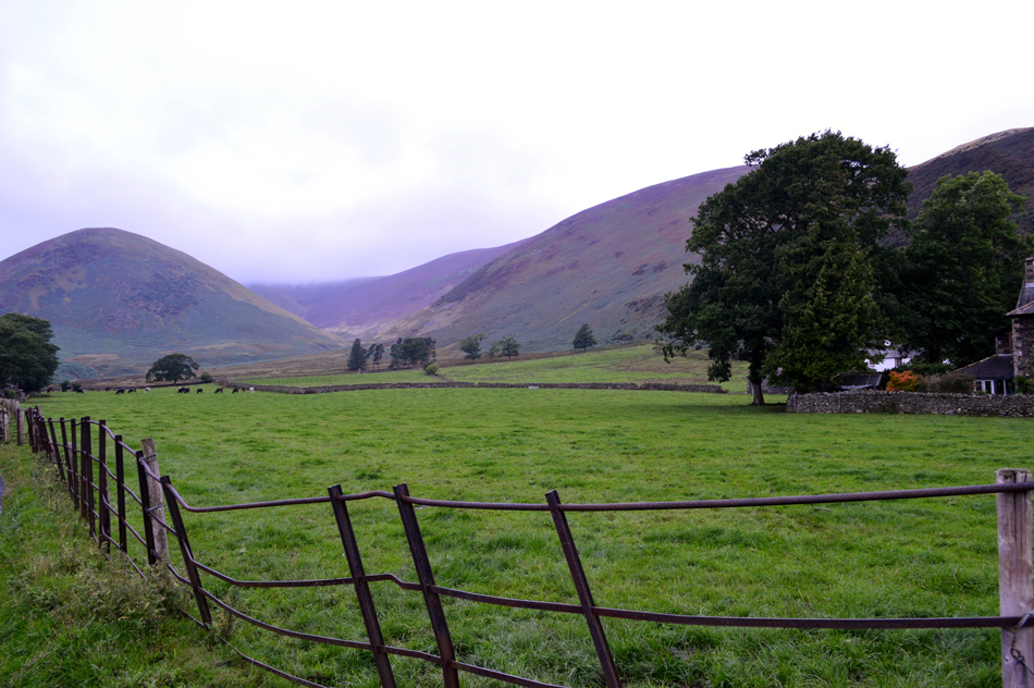
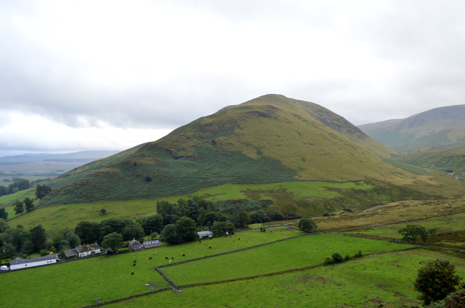
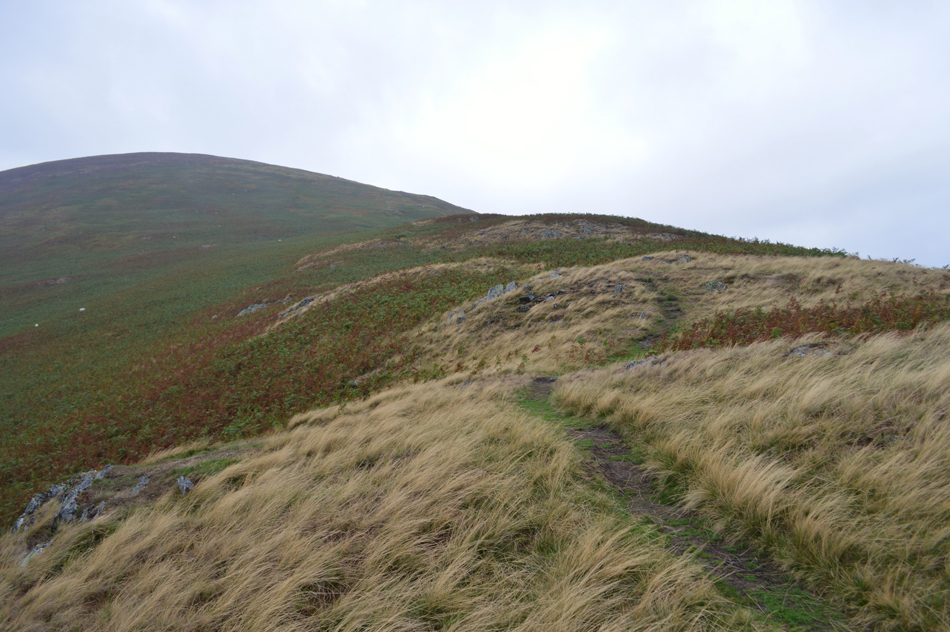
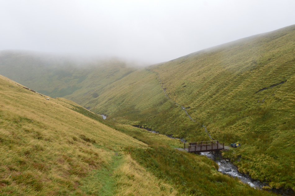
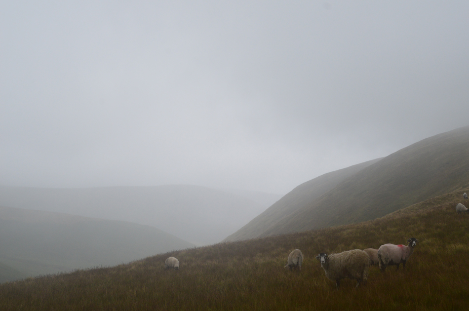
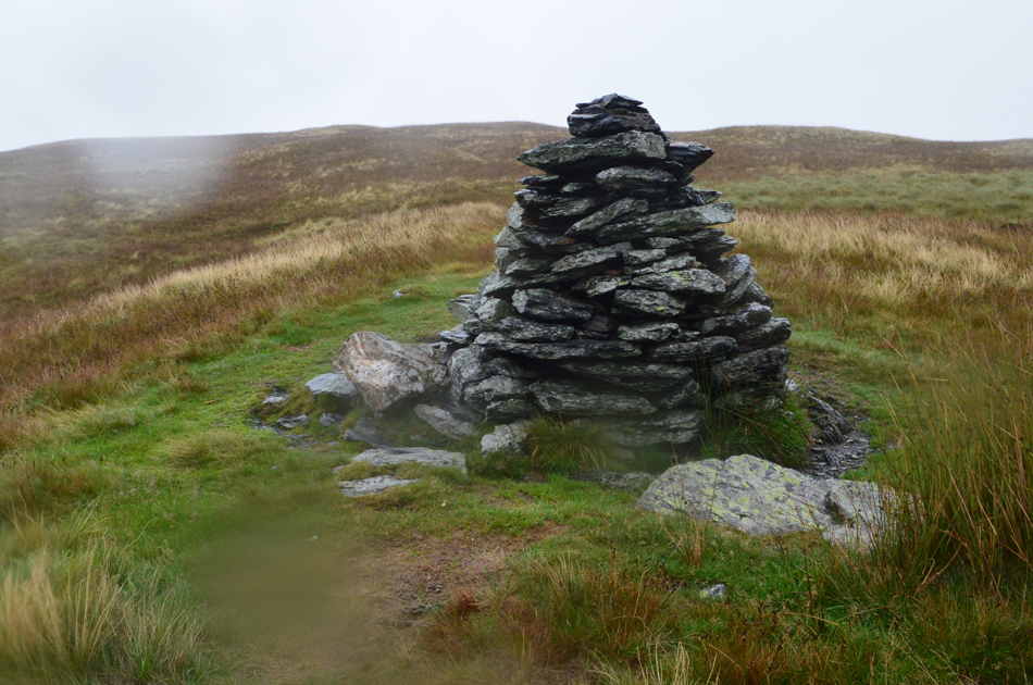
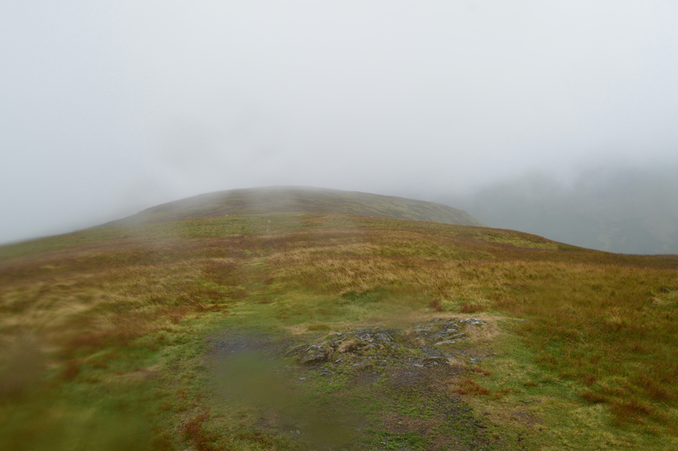
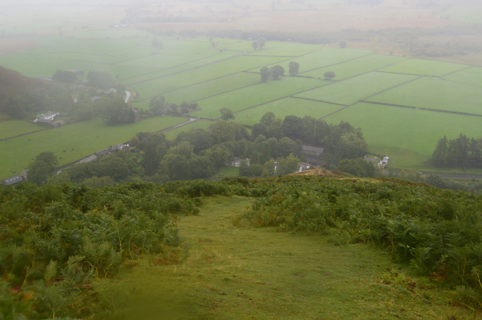
Todays walk takes in high level route around the Bannerdale valley starting from the wonderful hamlet of Mungrisdale. Admittedly, this walk demands a good weather day but as Bannerdale had been nipping at my heels all week I decided to go ahead anyway despite the forecast. Due to the wind, conversation was kept to a minimum but whilst crossing the head of Bannerdale Crags it was spoke of that not all days on the hill had to be done under glorious sunshine just as we demonstrated today.

 
The Complete Lakeland Fells
By Bill Birkett
This round of Bowscale Fell and Bannerdale highlights the contrast between the craggier face of the northern fells and their gentler more rolling regions.
 

Overview
Ascent: 2,201 Feet - 671 Metres
Wainwrights: 4, Bowscale Fell East Top - Bowscale Fell - Bannerdale Crags - Souther Fell
Weather: Challenging Rain & High Winds. Highs of 17°C Lows of 13°C
Parking: Phone Box, Mungrisdale Village NY 364 306
Area / Group Northern / BLE
Miles: 7
Walking With: David Hall
Ordnance Survey: OL4
Time Taken: 4 Hours 10 Minutes
Route: Mungrisdale - Bowscale Fell East Top - Bowscale Fell - Top of Bannerdale Crags - Bannerdale Crags - White Horse Bent - River Glenderamackin - Mousthwaite Comb - Souther Fell South Cairn - Souther Fell - Mungrisdale
 

Parking Details and Map
Nearest Post Code: CA11 0XR
Grid Reference: NY 364 730
Notes: The village of Mungrisdale is quite a small village with limited parking. The lower right arrow points towards a grass verge on the left prior to entering the village with room for around five cars, parking here is free. The lower left arrow points towards the Mill Inn which has a car park to the rear and is for guests only. The upper right arrow is the main car park in the village which is found opposite the village hall where a sign advises users to use the honesty box outside the village hall. The upper left arrow points towards street parking found at the northern edge of the village, to locate, turn left once the red phone box is reached.


Map and Photo Gallery


Bowscale Fell East Ridge 08:15am 13°C

I hadn't expected to see anything at all due to the forecasted fog and low cloud so you can imagine my surprise when I arrived in Mungrisdale to see Bowscale Fell East ridge quite clearly and free from cloud so I thought it deserved a stop. The East ridge is the first of four summits we'll be visiting which we will gain directly from the other side of the village not far from where I'm heading to park the car.


The Old School House Mungrisdale.
Built in 1835 the School House was in use up until the 1960's before being converted into a Grade II listed house and more recently a holiday cottage.

Looking into Bannerdale with Souther Fell (left) Bannerdale Crags (centre) and Bowcsale Fell East ridge (right)
David arrived soon after I had laced up and I noticed straight away that he was wearing shorts while I had gone for long trousers in anticipation of the strong winds forecasted, I guess either way it won't matter because soon we'll be above wearing our over trousers. We commented on the high cloud (for now) and the fact that it wasn't raining which I guess is a positive at the start of any walk. With David kitted up we stuck out in the direction of Bowscale where we got this view into Bannerdale and the low cloud which was topping the head of the valley obscuring Bannerdale Crags summit.

St Kentigern Church, Mungrisdale.
The road passes St Kentigern Church which dates back to 1756 although there have been several buildings dating back to the Medieval times on this site. The building including the roof was restored back in 1925.

The view over Mungrisdale towards Souther Fell North Ridge.

Just prior to reaching the junction for Bowscale we arrived at the disused quarry on the lower flank on Bowscale Fell East ridge, the quarry is actually difficult to see from the road due to it being hidden by what appears to be a small electrical sub-station, it is here we pass through a large wooden gate before starting the steep ascent on the East ridge where views soon open out over Mungrisdale towards Souther Fell's North ridge which will be our descent route back into the village in around four hours time.

You might be able to see the School House as the stone building centre left, our cars are parked right opposite.


Bowscale Fell East Ridge.

The ascent straight from the village is quite steep in places but once the initial steepness is left behind the ground levels where you do get that 'ridge effect' sadly for us though it had just started raining and as you can see by the grass, it's getting pretty windy too.

This is the point where you tell your brain your in it for the duration.


Bowscale Fell East Ridge.
We persevered and continued up the ridge all the while the wind was gaining in strength and the rain was getting heavier, it was time to un-pack the waterproof trousers. David didn't seem to struggle as much as I did while trying to add my waterproofs which took off like sails while I tried to sort out which leg was which but thankfully after a lifetime of hopping! I got there in the end.

Bowscale Fell East Ridge summit.
By the time we reached the East summit the rain had been sweeping in constantly from our left side, couple this with a strengthening wind as more height was gained made for a conversational killer. Having reached the summit cairn it was just a case of standing with our backs towards the rain and getting the one summit shot.

Bowscale Fell summit and shelter.

With the East ridge behind us we continued the steady climb towards Bowscale Fell summit and by the time we arrived we were like two drown't rats. The wind and rain by now was at its peak which left my hood sounding like a machine gun violently flapping in both ears! While at the summit I started to get concerned about my phone and car keys which were tucked away in the waterproof lid of my pack so here, I de-shouldered whilst knelt down and tucked my keys and phone into a separate waterproof compartment. With my items now in a safer place I re-shouldered and stood up instantly feeling the that split second shock you get while receiving the 'tumble drier' effect.

Okay, Bannerdale Crags next.


Heading towards the head of Bannerdale/Bannerdale Crags.
Despite a lack in conversation during the times we did speak was to check if each other was okay. I always find it is key to have a good relationship with your fellow walker under such conditions when it is impossible to speak over the sound of wind and rain, feeling obligated to chat isn't always necessary - you just kinda find yourselves locked in your own thought process, that, we both agreed on that across here.

Traversing the head of Bannerdale/Bannerdale Crags.
We agreed to give the edge of the ridge a wide berth such the strength of the wind.

Bannerdale Crags summit cairn.
With limited visibility we arrived at Bannerdale Crags summit where we found this chap who appeared to have come from the direction of White Horse Bent, it was blowing a gale with rain lashing in from every angle meaning a muffled 'morning' between the three of us, this seemed to be the same chap I saw back in Mungrisdale while we were kitting up, his route made sense now.

Descending White Horse Bent with limited views over Mousthwaite Comb.
We left the summit of Bannerdale Crags and tracked a pathless route South Eastwards following the ridge almost to the end before taking a steady descent towards the familiar footbridge over the River Glenderamackin, it was here we spotted two walkers walking towards Mousthwaite Comb on the footpath on the other side of the Glenderamackin, one of whom was only wearing shorts. Soon six walkers are spotted walking towards Scales Beck from Mousthwaite Comb, only one of them was carrying a pack. Surely, so ill-eqquppied they weren't making an ascent on Blencathra in these conditions?

Crossing the new footbridge over the River Glendermackin.
The old bridge was washed away during Strom Desmond in December 2015

Through the murk...Bannerdale Crags East Ridge and Bowscale Fell East Ridge from Mousthwaite Comb.
Time to head up towards our last summit of Souther Fell.

The view over Mousthwaite Comb towards Scales Fell/Blencathra.

The rain had slackened off during our ascent on Mousthwaite Comb/Souther Fell where we could pull back the hoods and engage in a little conversation where I must admit after three hours of almost silence we did pretty well on catching up!

Before we head straight for Souther Fell we make a slight detour and visit the South Cairn.


Souther Fell South Cairn.

Having gained the shoulder of Souther Fell we soon sighted the South Cairn made easier by two walkers who had just left with their dog, sarcastically the young girl laughes "it's not raining in that direction is it!" We shared a laugh too after all we gotta keep that morale up. By the time we reached the South Cairn it had started to rain again quite heavily at which point I started to have concerns for my camera which despite it being in a waterproof case looked as if I'd just pulled it from the beck! I at this point was soaked through to my base layers right through to my boxer shorts... it is here I am reminded that despite the best gear available, nothing is totally waterproof.


Souther Fell summit.

The rain continued to pour down only a little less horiztontal due to our loss in height, my camera was having non of it and deep down I thought that was it, I'd ruined it.

Time to make our descent now via the North ridge.


Bearing down on Mungrisdale via Souther Fell North Ridge.

The rain lightened as did the winds which left just a fine drizzle in the air. With the summit behind us we began our descent back into Mungrisdale while conversation turned to how much we had enjoyed the walk while being buffered by the elements, that statement probably doesn't make much sense after reading this report but you do get a different sense of fulfillment after a walk under such conditions.

The drizzle had fizzled into nothing during much of the descent yet our waterproofs still dripped with water in particular the peak of my baseball cap which had served me well all morning. Having reached the Mill Inn and tarmac underfoot it started to rain quite heavy again for those last few minutes before we reached our cars, ah well I don't suppose we could of geet any wetter if we'd tried.


Back to top