|
The Mungrisdale Fells |
 |
 |
19th October 2013 |
 |
|
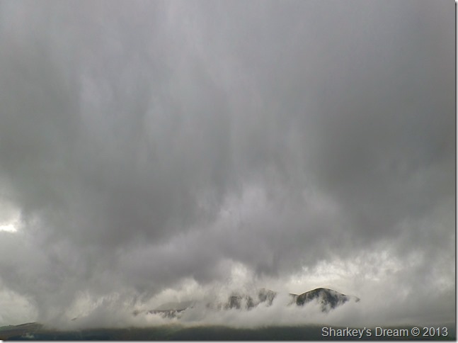
With a little time away from Lakeland I wanted this weekends walk to stand out a little, which is possibly more of a personal claim than anything else.
I try not to look at the weather forecast too early these days the reason being a wrong forecast can lay some best laid plans on their heads, these days I leave it until the last few days before a walk & try to get a decent feel as to what lies ahead & what I can plan around it.
This weekends forecast wasn’t looking too good at all, so much so I even thought I’d have to sit…no skulk this one out. After what seemed like hours looking at various forecasts all of which stating that I wouldn’t see anything above 400/500 meters… this meant that if I was to take anything away from todays walk I would have to keep low which is common sense really.
Hastily I penned a walk centred around Mungrisdale & Souther Fell from which looked like I’d have the drier weather & maybe even some summits.
I got it partly right I suppose but that didn’t stop me enjoying some of the lesser trampled fells as the rain battered me from all angles, if anything, it only added to an already atmospheric walk. |
|
Wainwright Guidebook |
 |
| The Northern Fells |
-The River Glenderamackin:
The course of the Glenderamackin is remarkable, Starting as a trickle from a marsh below the col linking Bannerdale Crags and Blencathra, it soon gathers strength and aims purposefully for a gap in the hills to the south, eager to be away from its desolate place of birth and join other waters in a tranquil and pleasant passage through Lakeland.
It has become a river and men to cross it must build bridges. It has acquired a stately loveliness, a leisurely flow – it is a Lakeland river therefore is beautiful.
Artist will paint its picture, and cows stand in its waters. |
 |
|
| |
|
Overview |
|
|
| Ascent: |
1,942 Feet, 592 Meters |
| Wainwrights: |
3, Souther Fell – Bannerdale Crags – Bowscale Fell |
| Weather: |
Heavy Rain To Start Turning More Settled Towards Midday, Blustery. Highs Of 15°C Lows Of 12°C |
| Parking: |
Off Road Parking, Mungrisdale |
| Area: |
Northern |
| Miles: |
9.3 |
| Walking With: |
On my own |
| Ordnance Survey: |
OL4 |
| Time Taken: |
5 Hours 15 Minutes |
| Route: |
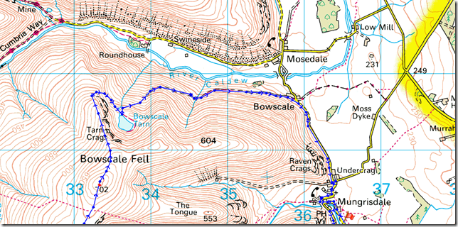
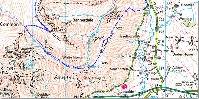
Mungrisdale – Low Beckside – Souther Fell – Mousthwaite Comb – River Glenderamackin – White Horse Bent – Bannerdale Crags – Bowscale Fell – Tarn Crags – Bowscale Tarn – Bowscale (Hamlet) – Mungrisdale |
|
| |
|
Map and Photo Gallery |
|
|
  |
| |
| |
 |
| |
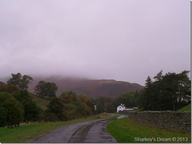
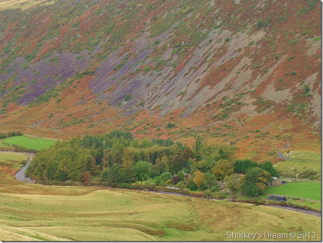
Carrock Fell topped by cloud, taken just outside Mungrisdale 07:42 12°C
I kinda knew the setting of todays walk before I left for the fells this morning, this being the reason why I decided to pack my new Rab Vapour Rise waterproof trousers that I bought during the summer months when they were a bit cheaper than buying them come winter, when all the prices on winter gear un-surprisingly, rocket up.
So there I was in a deserted grassy layby waiting for sun-up as the rain lashed down, striking the panel work & windscreen which broke the silence of dawn in Mungrisdale. The sunrise never really materialised which was only expected given the conditions.
I kit up mostly inside the car if anything just to keep anything beneath my jacket warm & dry which worked well as I slide my seat back as far as it would go.
Tailgate locked I head off to make my first of many crossings of the River Glenderamackin.
Footnote
Parking in front of Mungrisdale Hall is now reserved for member’s of the Hall only as traffic cones & signs strictly prohibiting parking by non members, this being the reason why I had to park a little outside the village today. |
 |
| |
Great Mell Fell breaks free from cloud as I start my ascent on Souther Fell.
After making my first crossing over the River Glenderamackin via a wooden footbridge opposite Mungrisdale Hall I make a left at the Mill Inn & pick up the narrow tarmac seen below.
Although I am well & truly into my ascent it was only after trying a new route via the north east tip of Souther Fell, here you are presented by a rather unfriendly sign on a steel gate stating that this gate does not give access to the open fell.
On any other day as with many walkers who have ignored the sign & made their ascent from here I find myself being watched by an approaching farmer riding a quad bike, I almost feel like the rabbit caught in the headlights so before I get a ticking off I pay the gate no attention & carry on up the track until I pass through a wooden gate there almost immediately afterwards I pick up the steep path through wet bracken which, in all intentions, isn’t the worst path & is easily recognisable all the way to the summit shoulder even through the bracken. |
 |
| |
High Beckside farm under Autumn array.
The path is steep, more so on my body due to fact that I only managed around four hours sleep before the drive up to Lakeland this morning, the rain pelting my face however is doing a great job of keeping me awake. |
 |
| |
Almost at the summit shoulder.
After leaving the steep bracken path behind I pick up the main summit path which is distinctive in that its route looks to follow the forbidden path as it descends its way back to its origins behind the Mill Inn, Mungrisdale.
Oh well never mind eh. |
 |
| |
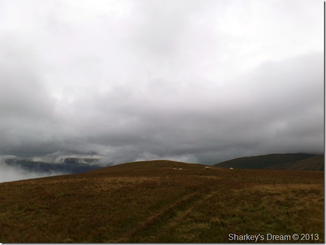
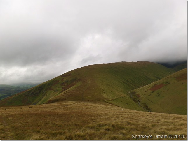
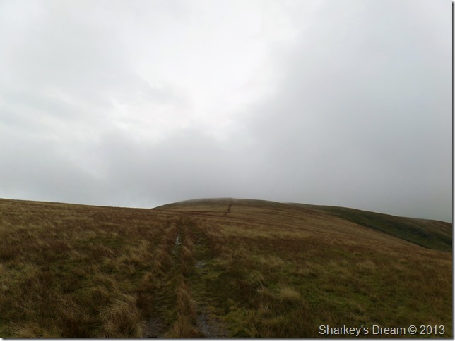
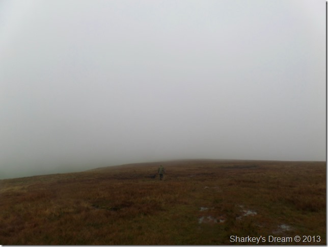
Souther Fell summit lies ahead.
This picture sums up my fondness for Souther Fell as the flat summit approach over soft grass always makes the steep ascent worth while.
I’ve never been too sure how to pronounce Souther Fell as I believe it is pronounced locally as Sow’ter Fell rather than South’er or Suth’er as my Wigan dialect pronounces it. I made it my prerogative to pronounce the fell name properly today as in Sow’ter
(I hope I’m right) |
 |
| |
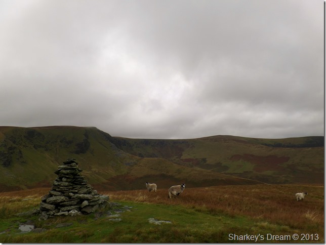
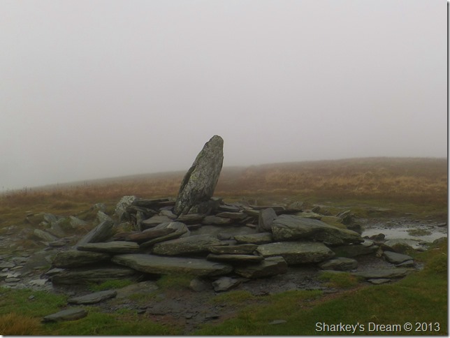
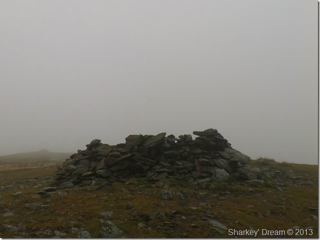
A buried stone marks the fell summit.
A much more substantial stone cairn is found on the South West corner of the summit which is where I’m heading next.
Squelch by squelch. |
 |
| |
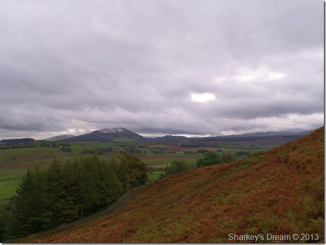
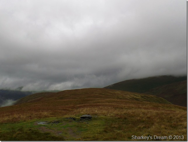
Souther Fell South West cairn.
Here Bannerdale Crags & Bannerdale Crags East Ridge is visible from the South West cairn together with Bowscale Fell & The Tongue.
It was here I needed to take action on which route I was to take, although an ascent on Blencathra was luring I could not see Blencathra’s summit due to the low cloud lingering over Scales Fell.
I decided to stick to my guns & try to work with the low cloud rather than against it. My route to Bannerdale Crags & Bowscale Fell is clear (for now) & an ascent on Bannerdale Crags via the Glenderamackin Valley is going to be a new one for me so here it was decided I head for the Col on Mousthwaite Comb.
Not before I took this photo of Bannerdale Crag’s East Ridge. |
 |
| |
Bannerdale Crags East Ridge from Souther Fell. |
 |
| |
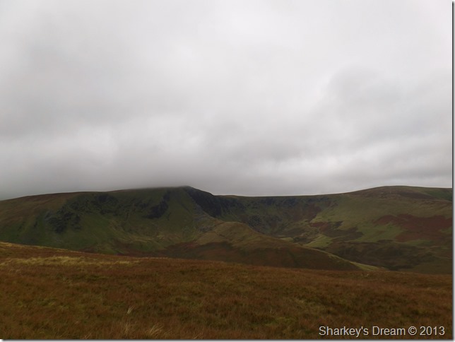
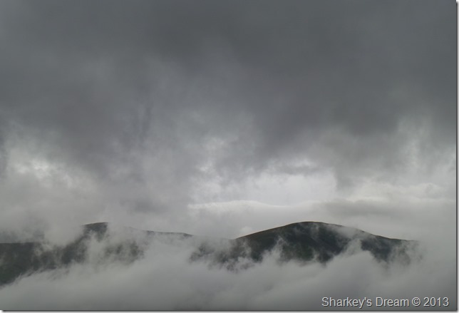
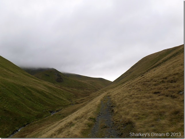
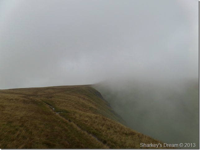
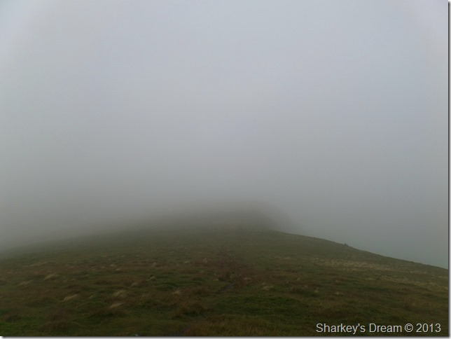
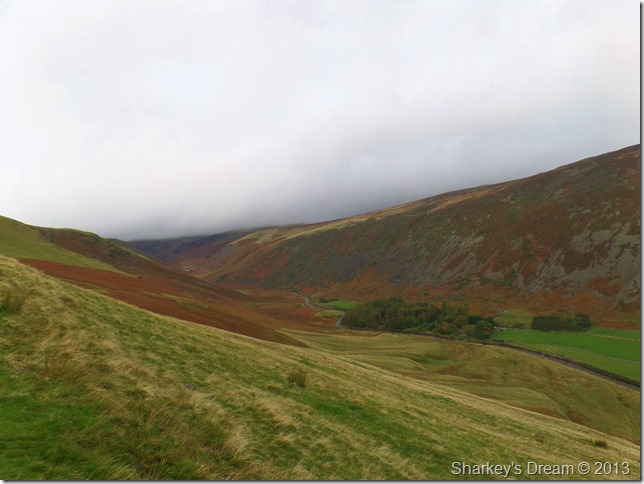
Mousthwaite Col & Scales Fell.
Here my route into the Glenderamackin Valley is seen right between Scales Fell (L) & White Horse Bent (R)
It’s looking very dramatic over the Dodd’s to my left. |
 |
| |
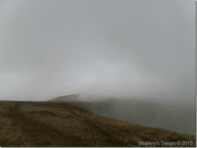
Very atmospheric & wonderful while it lasted. |
 |
| |
Scales Fell & White Horse Bent as I descend to the River Glenderamackin.
An assault on Blencathra was still playing on my mind, more so as I spot two single walkers starting their flank on Scales Fell.
Although the pull from Blencathra was never far away my new route through the valley of Glenderamackin was as mentioned new to me today which kinda helped taking the shine on a summit of Blencathra. |
 |
| |
Here looking back on my first summit of the day Souther Fell. |
 |
| |
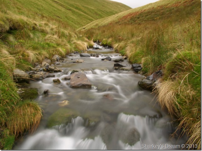
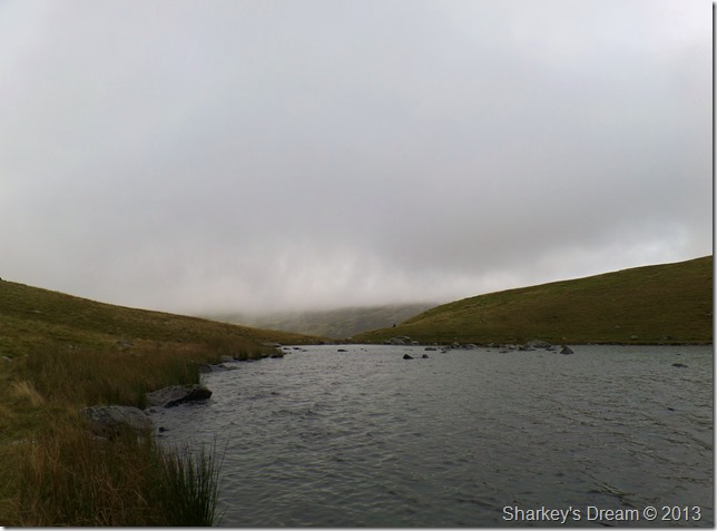
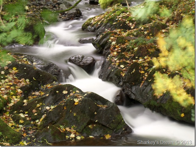
The River Glenderamackin.
After descending Mousthwaite Col I crossed the River Glenderamackin via a wooden footbridge, taking time out to photograph the River in full flow using a little camera trickery.
Not making the ascent on Blencathra really slowed my pace down to an explorational crawl, almost which meant instead of keeping up a good pace I could slow it right down & take in everything before me. |
 |
| |
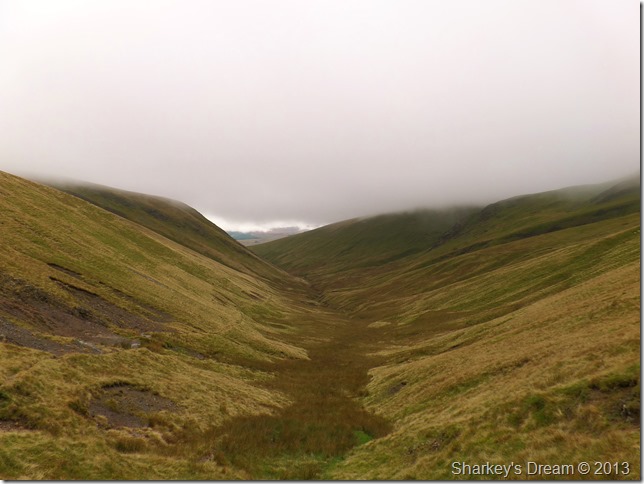
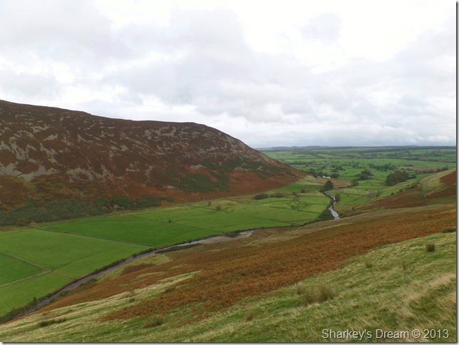
The Glenderamackin Valley.
On a clear day the views over to Sharp Edge would be magnificent from here, but sadly all we have is a bank of low cloud obscuring Sharp Edge only revealing Brunt Knott at its very base.
I slowly press on. |
 |
| |
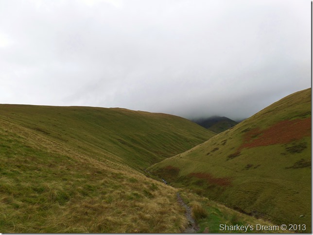
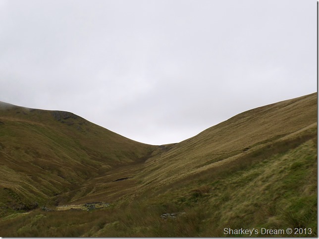
The head of the Glenderamackin Valley & the source of the River bearing its name.
After passing over a loose scree section in the path the head of the valley appears as a Col linking both Bannerdale Crags to my right and Blencathra to my left. Upon reaching the Col I make a right to my next summit of the morning Bannerdale Crags.
But, that’s in a little while yet. |
 |
| |
Taking time out to absorb the Glenderamackin Valley.
Footnote
Once or twice I had the feeling I was being followed so as you would I took a look over my shoulder only to see nothing…I’ve studied this picture close up & am completely satisfied that there is no one else in it.
A little more on that a little later. |
 |
| |
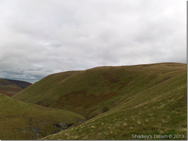
Bannerdale Crags shortly after leaving the Col in the last photo.
Sadly it looks as though my views are about to disappear before I make my second summit, here I pass two distinctive fellows in bright red down jackets as we pass our good mornings on to one another |
 |
| |
Bannerdale Crags summit.
Shortly after passing the two walkers I ascended into mist & before I knew it I was walking in what would seem around twenty yard visibility.
I wander over to the edge with prospects of views over the East Ridge but leave for Bowscale fell having seen nothing.
Nae bother, its not all bad… |
 |
| |
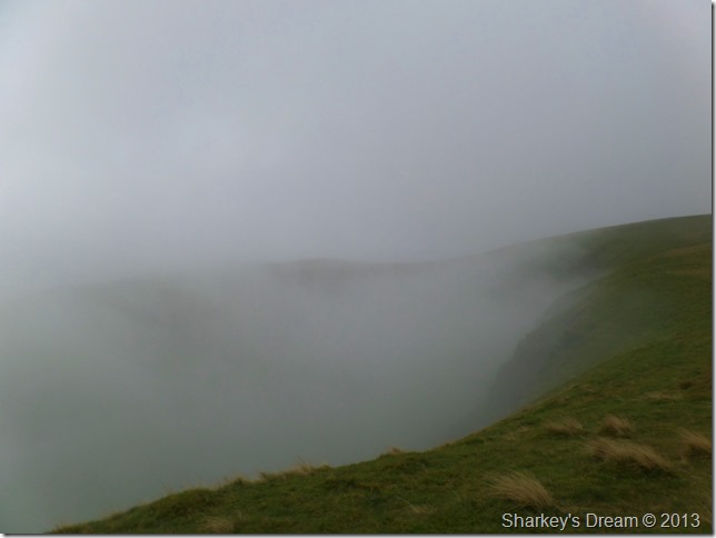
Crossing the top of Bannerdale Crags.
The cloud was creating fantastic atmospheric conditions as it teased its way across the ridge sometimes obscuring the whole ridge & other times revealing views such as this.
This is the side of Autumn & Winter I know & love very much. |
 |
| |
| |
 |
| |
Disorientated walker back on track.
As I make the approach to Bowscale Fell I notice to my left a guy had appeared with his dog, for now we are too far apart for a morning nod but as we get closer (still on course for Bowscale Fell) I pass on my good morning.
The gent holds his pole towards Bowscale Fell & politely asked…what is the name of that fell? Its Bowscale Fell…I await his answer but get nothing, are you ok I ask? I’m just a little disorientated the gent replies, where are you looking for I ask? Bannerdale Crags he answers, it’s behind you through the mist I reply.
I’ve followed you all the way through Glenderamackin he says (that explains my thinking that I was being watched then!)
Where are you parked I ask? the gent replies, I’m parked at Scales. Ahh right I say, after a little polite conversation the cloud clears momentarily revealing the path for Bannerdale Crags, as the gent who was well into his sixties & still seemed a little confused so I offered to walk with him, no that isn’t necessary he says, but thank you & off he went.
I cant help but wonder, even though he was momentarily lost (albeit wandering in the right direction) why I hadn’t spotted him in the Glenderamackin Valley?
Surely he could of only been yards behind me if we have reached the base of Bowscale Fell at the same time? |
 |
| |
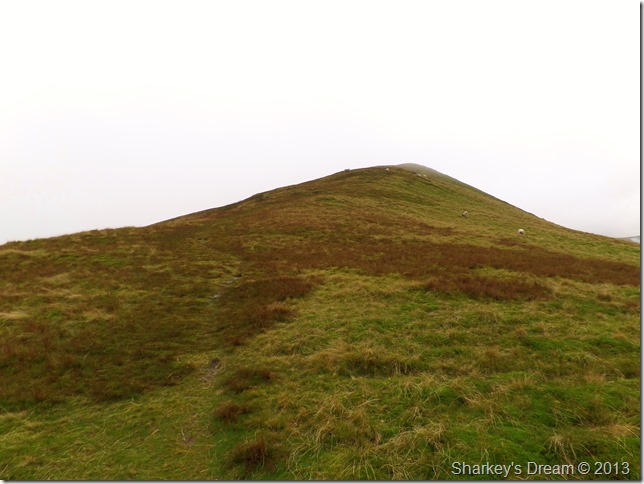
Bowscale Fell summit shelter with the main summit cairn just visible through the cloud.
Throughout the whole walk Bowscale Fell was possibly the most exposed I’d felt as strong gust buffered the summit, here I take ten minutes in the shelter keeping low letting that wind pass over head.
There is no greater feeling than this.
Shortly afterwards I am joined by a couple at the shelter, my time spent here is done as I stand up to let the woman sit down, we swap pleasantries as they go onto say that they too had just come from Bannerdale Crags, with this I ask, did you pass the old gent with a dog? What old gent we haven’t passed anyone.
Oh dear, this is getting odder & stranger by the minute! But I let it go & head on out towards Tarn Crags & Bowscale Tarn. |
 |
| |
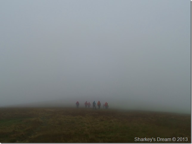
Passing a large group of walkers heading for Bowscale Fell.
After leaving the summit a large group of women walkers lead by a single male appeared through the cloud, his glasses where steamed up although I’m not sure why! |
 |
| |
Passing the top of Tarn Crags (Bowscale) |
 |
| |
Making sure not to venture too close to the edge at some points. |
 |
| |
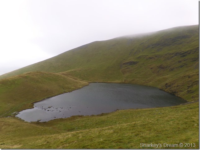
Bowscale Tarn & its Glacial Moraine (L)
I locate the steep rake that descends almost to the Tarns outflow (if unsure how to locate the path, line yourself up with the Tarns Outflow as the view down the steep rake is obscured from above)
The path here is steep & slips will & did occur during my descent hence me trying to obtain grip in the much wetter yet grip-able grass beside the path.
I think an early lunch is on the cards. |
 |
| |
Down by Bowscale Tarn.
Upon reaching the Bowscale Tarn I down pack & have a little wonder about trying (and failing) to capture the Bowscale Tarn as best I could.
The black dot to the right of the outflow is my pack which contains my lunch so I stop with the pretending to be a photographer bit & start with the filling my stomach bit, which I’m actually quite good at. |
 |
| |
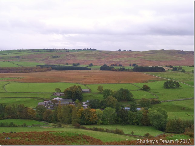
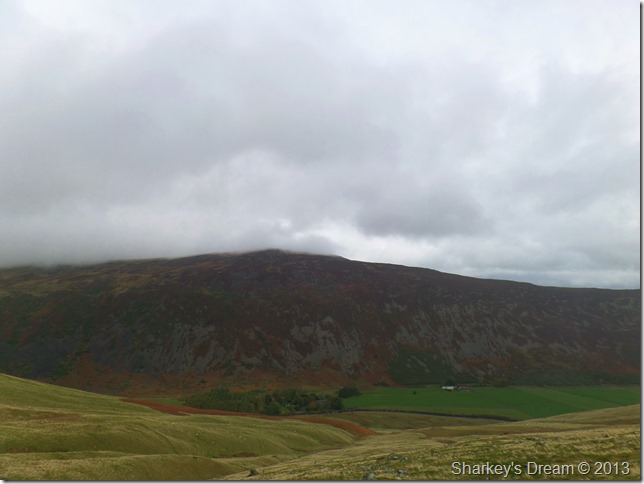
Carrock Fell & Round House (within the coppice of trees) seen shortly before leaving Bowscale Tarn. |
 |
| |
A close up of Round House in its Autumnal glory. |
 |
| |
Mosedale & Mosedale End.
The dying Bracken against the fellside adds beautiful colour against the landscape. |
 |
| |
Mosedale, Carrock Fell & the River Caldew.
Time was again on my side as it had just passed midday making the walk back to the car all that bit more enjoyable |
 |
| |
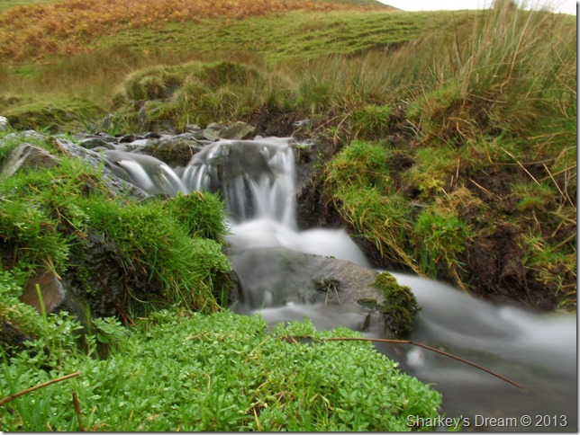
Taking time out as I passed Drycomb Beck along the way. |
 |
| |
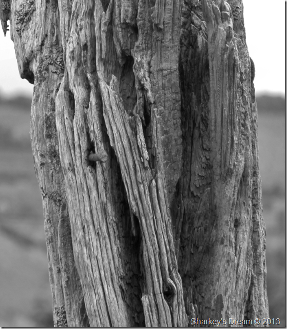
This old wooden fence post still standing the test of time. |
 |
| |
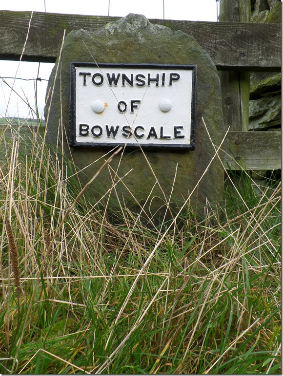
The Boundary stone found along the roadway in between Bowscale & Mungrisdale. |
 |
| |
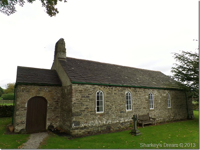
The Church of St Kentigern, Mungrisdale.
The Church of St Kentigern is a Grade II listed building which can be traced back as far as 1756 but was actually built on a much older site dating back to the Medieval Times. The Church Bell was recast in 1491 from the original Bell. |
 |
| |
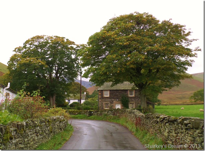
The School House, Mungrisdale.
As I near the end of my walk chinks of blue appear in the skies above me, a fitting end to a great walk I ponder.
Whilst walking the last mile or so I pass the group of woman Fell Walkers led by the solo male, his glasses are still steamed up as he says hello again.
Mungrisdale is busy as cars choke the narrow lanes unable to park besides the Village Hall, they park anywhere making the place look untidy. Mungrisdale is my favourite Lakeland village above all & I’m not too impressed as I take in at what could be considered to be antisocial behaviour in this quiet corner of Lakeland.
The smell of hot food on a damp afternoon is one of the most welcome of English nostalgias & it bodes well as I take one last photo of The River Glenderamackin as it winds its course through Mosedale. |
 |
| |
One of the main features in todays walk The River Glenderamackin. |
|
| |
| Back to top |
 |
|