Far Sawrey - Windermere West Shore - Bell Grange - High Wray Bay - Wray Castle - Wray Church - High Wray Bay - High Wray - Latterbarrow - Old Intake - Highs Moss - Scale Head Tarn - Three Dubs Tarn - Moss Eccles Tarn - Far Sawrey
Wray Castle and Latterbarrow from Far Sawrey
18th February 2017
ASCENT:
2,164 Feet - 660 Metres
MILES:
11.5
OUTLYING FELL:
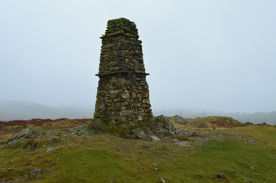
Latterbarrow
ROUTE:
Far Sawrey - Windermere West Shore - Bell Grange - High Wray Bay - Wray Castle - Wray Church - High Wray Bay - High Wray - Latterbarrow - Colthouse - Guide Posts - Hollin Band Plantation - Highs Moss - Scale Head Tarn - Three Dubs Tarn - Moss Eccles Tarn - Far Sawrey