Wray Castle and Latterbarrow from Far Sawrey

18th February 2017

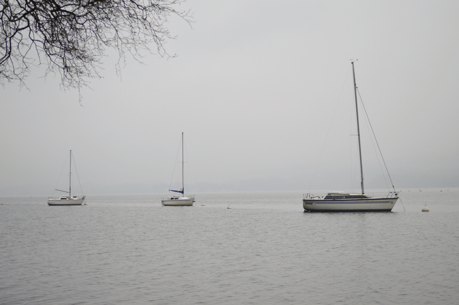
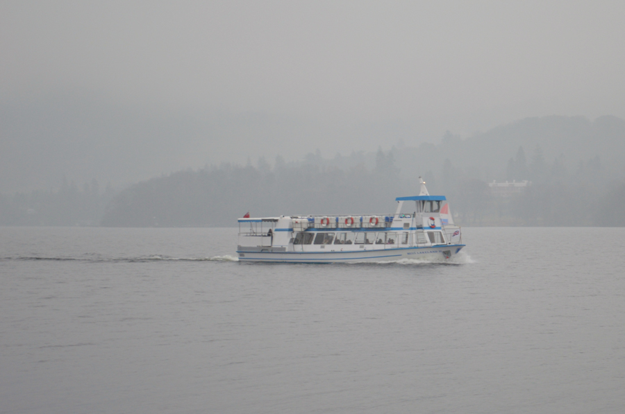
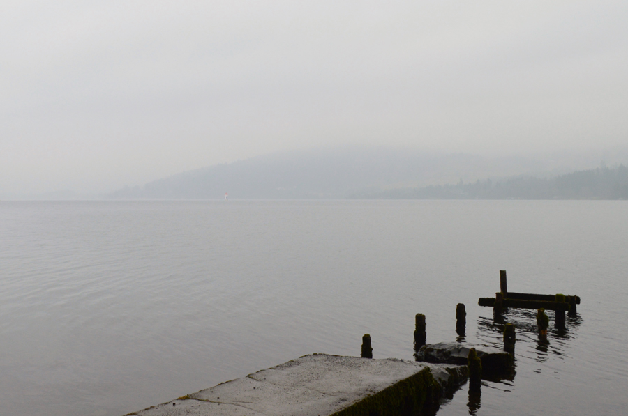
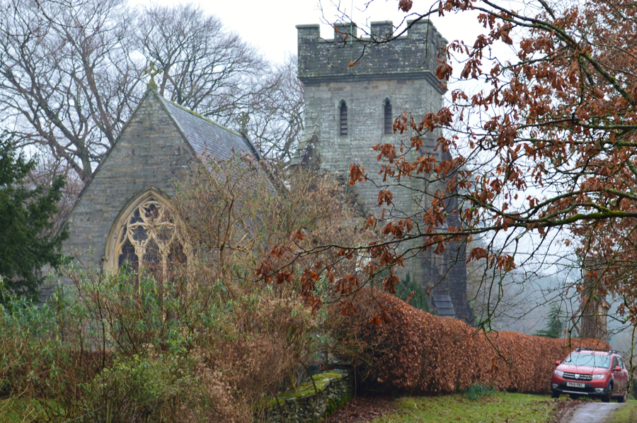
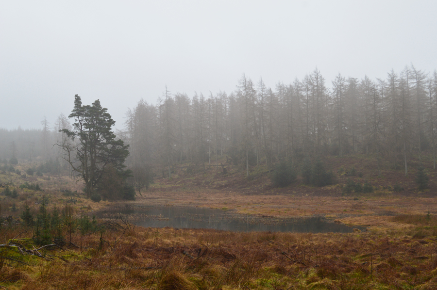
Much of the snow has now thawed with the exception of a few sporadic spots across the highest of summits leaving Lakeland feeling rather mild in the valleys as we approach the weekend. With the mild temperatures came low cloud which put a dampener on David's planned Comb walk which yet again had to be cancelled.

Eagerly we watched the forecast materialise over Thursday and Friday which only got worse which then forced us to ditch one of my Outlying walks on the Crookdale Horseshoe, a walk which may have suited the unfavourable conditions but also a walk over favoured territory for yours truly, I really wanted a fair weather day for Crookdale.

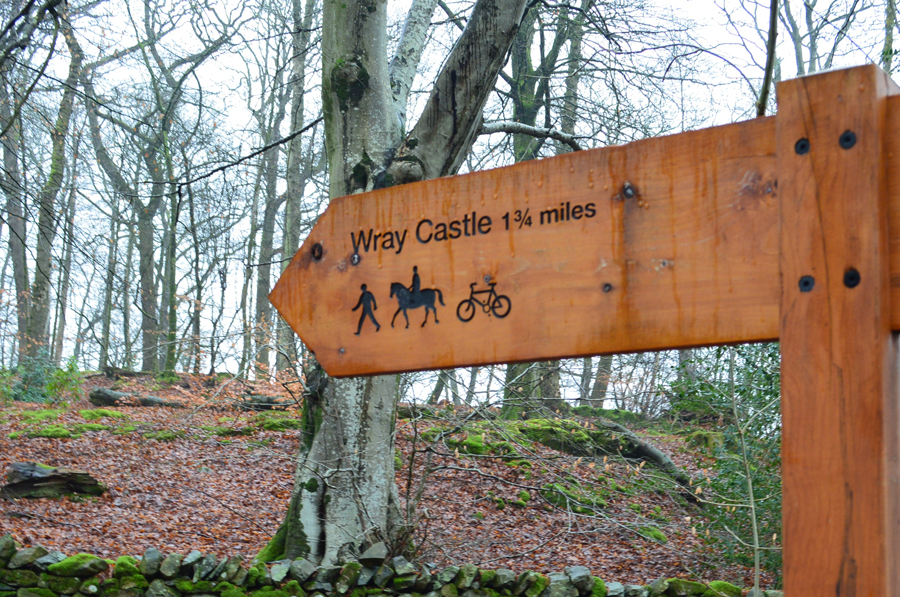
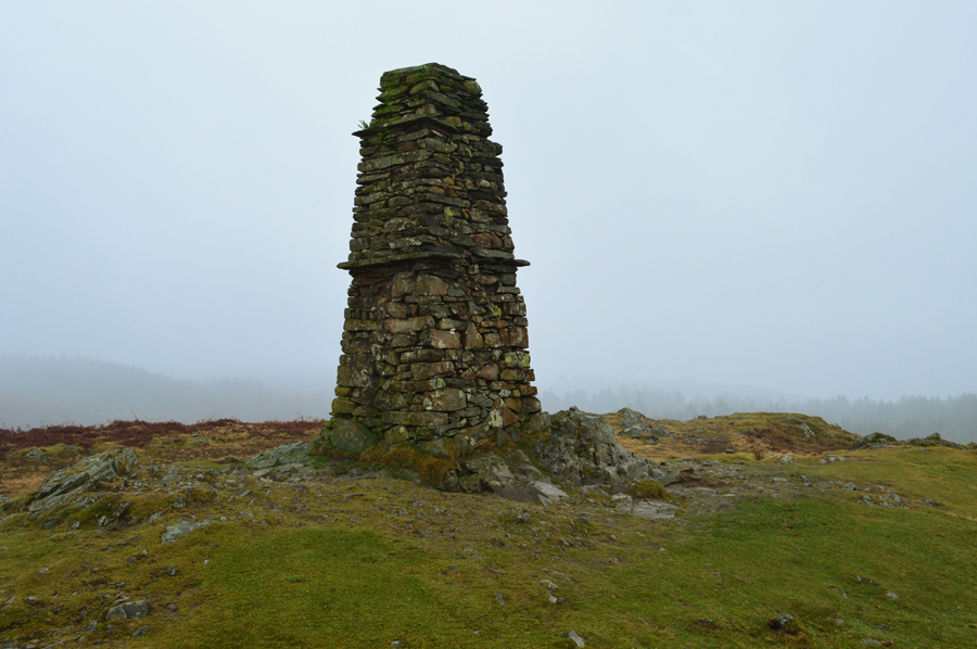
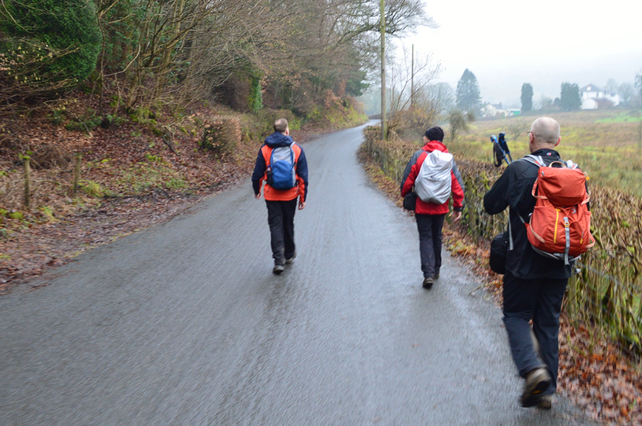
By 10:00am Friday morning our plan B had been written off and it was left up in the air for the next hour or so whether we would be walking at all when Rod e-mailed and suggested this route, a walk that ranked high by both David and Rod, so high in fact both David and Rod had chosen it as their best from 2016.

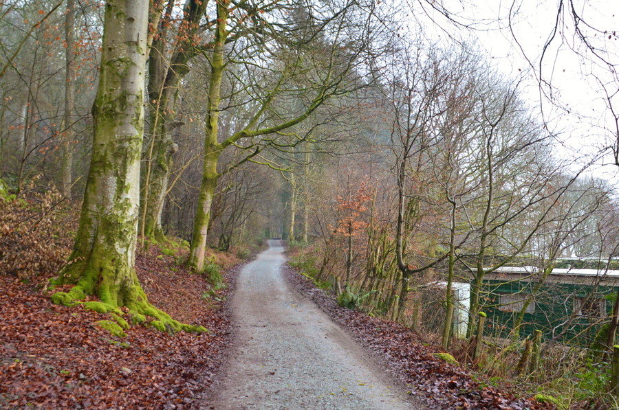
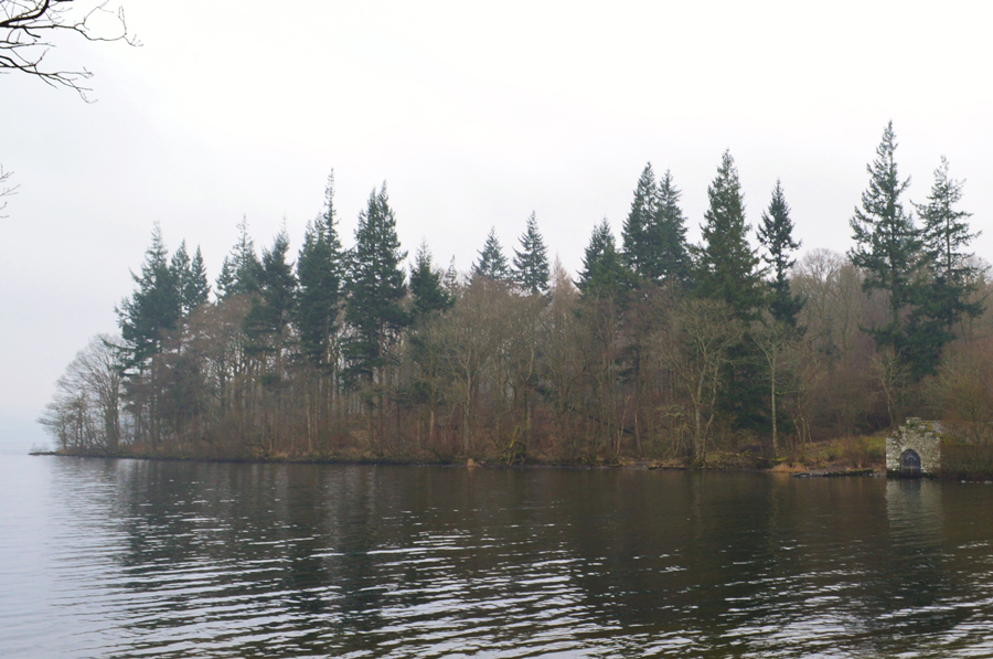
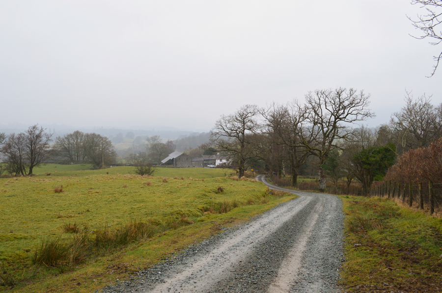
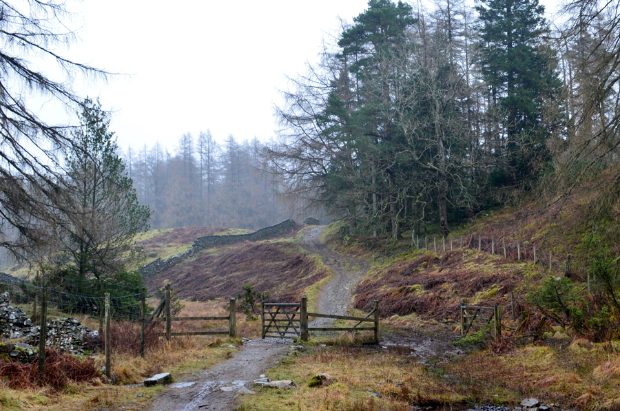
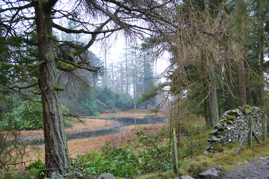
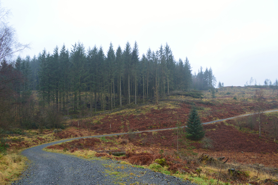
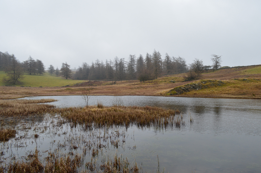
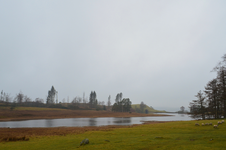
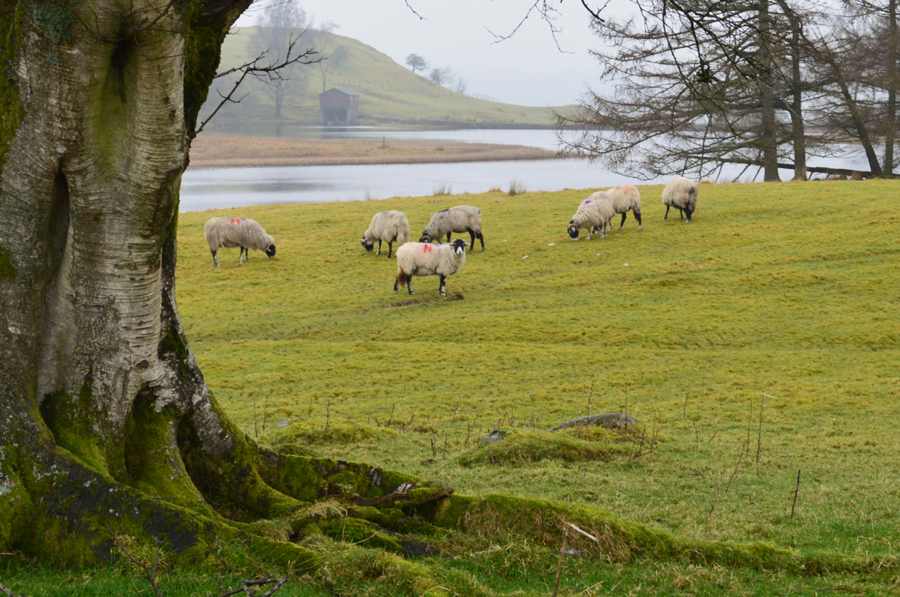
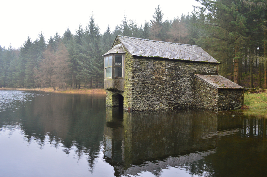
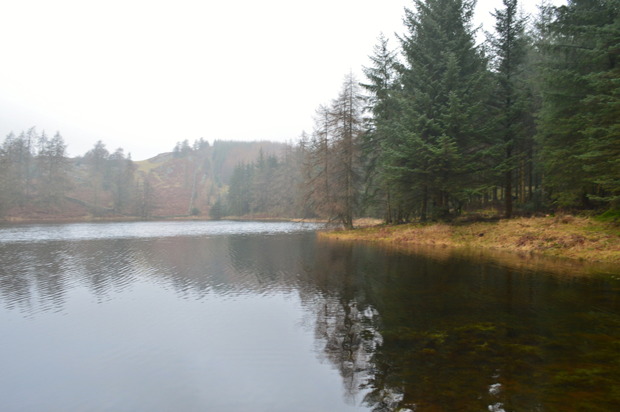
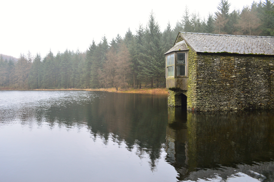
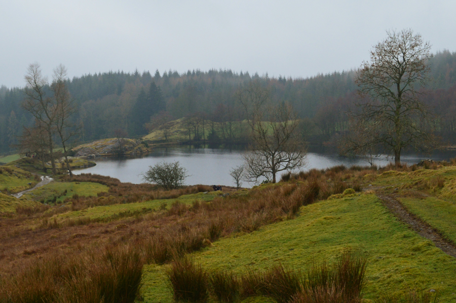
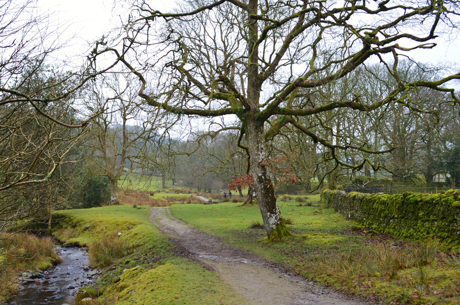
A route that would see us keep well below the cloud base whilst taking in unfamiliar Outlying territory for myself which as it happened, provided a sense of knowledge in an area of Lakeland I don't visit as often as I should.

 
Wainwright Guide Book
The Outlying Fells

-Latterbarrow

Latterbarrow is well known by sight, if not by name, its elegant obelisk being prominently in view from Hawkshead and the Ambleside district.


Overview
Ascent: 2,164 Feet - 660 Metres
Outlying Fell: Latterbarrow
Weather: Cloud Base at 100 Metres to Start Rising to 300 Metres With Drizzle on and off, Feeling Mild. Highs of 7°C Lows of 9°C
Parking: Village Hall, Far Sawrey
Area: Southern
Miles: 11.5
Walking With: David, Rod and Michael
Ordnance Survey: OL7
Time Taken: 5 Hours 50 Minutes
Route: Far Sawrey - Windermere West Shore - Bell Grange - High Wray Bay - Wray Castle - Wray Church - High Wray Bay - High Wray - Latterbarrow - Colthouse - Guide Posts - Hollin Band Plantation - Highs Moss - Scale Head Tarn - Three Dubs Tarn - Moss Eccles Tarn - Far Sawrey
 

Map and Photo Gallery


Far Sawrey Village Hall 08:35am 7°C

David and I had arranged to meet just outside Glappersgate at a well known lay by on the banks of the River Brathay at around 08:15am before continuing south to meet Rod and Michael at 08:45am at Far Sawrey Village Hall. I arrived early after an uneventful drive north where I passed through a few showers but nothing like what had been forecasted, however the forecast was correct when it said the cloud base wouldn't lift throughout much of the day but they didn't say it would only be just above the tops of the lamp post. I parked up at an almost deserted lay by and stretched my arms and spotted David driving over the bridge nearby, my engine was still running as David pulls up along side.

The morning forecast was exactly what we had expected and after a handshake we start talking about todays route and how much a shame it would be if we didn't get to see any views, after all from the summit of Latterbarrow on a clear day offers a wide vista around the compass. It had started to rain again but this didn't stop conversation as I showed off my new one man tent which I had brought with me to let David take a look over after planning a wild camp based over two long days of walking with hopefully more wild camps to follow through the Summer months.

After a quick look at our watches we realised it was time to go as David agreed "might as well go in my car eh" so I grabbed all of my gear including waterproofs and we set off for Far Sawrey first passing through Near Sawrey, two Lakeland hamlets virtually untouched by time. Twenty minutes later we arrived at the Village Hall where we found Rod and Michael at the back of Rods car kitting up. The last time I saw Rod was back on our Raven Tor walk last October and despite regular e-mails it was good to have the gang back together walking again which today included Michael who had walked with David many times before but we had never met, we greet with a smile and a friendly handshake, despite the drizzle and low cloud today has all the makings of being a grand day.


Following the track out of Faw Sawrey first towards Belt Ash Coppice and Windermere's west shoreline.

It was debateable how much waterproofing we needed to add so we opted with a half on half off approach seeing as it was relatively mild morning which for now meant no waterproof trousers are worn as Rod decides to attach his rainproof cover to his pack in ernst for the advancing showers should they arrive. We climb steadily out of the village and instantly start to feel the effects of just how mild the morning air actually is. Soon we arrive at a fork in the track where it's left for Claife Heights or right for Bell Grange Bay and Windermere lake shoreline. we hook a right.

Footnote: Both Claife Heights and Latterbarrow are included in my Outlying Fells project which could have easily been reached along todays route but would have been left from the project due to not being Wainwrights original route, as it so happens we visited Latterbarrow which was included as part of todays walk which will mean a future visit as part of my Outlying Fells project.


The track continues towards Belt Ash Coppice.

From the fork we continued to follow the track which never revealed much in the way of views as the mist clung to the tree tops. Further along we soon reached Belt Ash Coppice, a densely populated woodland which kind of felt eerie as we broke the silence with conversation during our sometimes steep descent making sure not to slip over many a wet tree root which are hidden below a canopy of leaves.


Windermere.

We emerged from the woodland and arrived at Windermere west shoreline where we found little in the way of views as the cloud hovered above the boats mast. It was difficult to see anything beyond a hundred yards but through the mist and cloud we could see the luxury homes and caravan parks peaking through on the opposite shoreline. It was at times quite difficult to see where the cloud base stopped as it merged with the waters surface.

The view from here over to Bowness would have been fantastic but sadly not today, still it was great to be out at a time when really, it should be raining quite heavily.


We press on towards Bell Grange Bay.
Which is just over a mile and a half away undertaken with pleasant path underfoot whilst taking in the staggeringly steep wooded fell side below Claife Heights over on the left with not so much of a drop of rain in the air.

Wray Castle isn't far now.
There has been no use for walking poles which are lashed back onto my pack for use later.

Miss Lakeland II
Having left full sail from Ambleside on route to Bowness. There wasn't many on board which may explain the speed she was travelling at which left quite a noticeable bow wave by the time it reached the shoreline.

The outline of Wansfell Pike taken close to Wood Close Point.
 

High Wray Bay.
With High Wray Bay boat house over on the right.

Wray Castle.
Viewed from the National Trust car park.

Wray Castle

From High Wray Bay the castle turrets soon came into view as we followed the path which lead us out onto a National Trust Car Park which was quite busy with cars coming and going. It was James Dawson, a surgeon from Liverpool who by his wifes fortune built the castle in 1840 to live in with his wife Margaret who after completion actually refused to live in the castle.

Wray Castle along with 64 acres of surrounding land has been in the ownership of the National Trust since 1929 and from 1958 to 1998 it became a training college for Merchant Navy radio officers (RMS Wray Castle), with up to 150 Cadets living in the Castle whilst studying the procedures and regulations regarding the use of radio for the Safety of Life at Sea


Wray Church.
Wray Church completed a tour of the grounds of Wray Castle and it was now time to head back to High Wray Bay from where we will pick up the path through the hamlet of High Ray.

Looking back on High Wray as we head towards an area locally known as Base Camp.

From High Wray Bay we pass through a gate and steadily join a grassy trod where we are entertained by a rather territorial dog who barks as we pass by a large cottage which appears to have been turned into a guest house, the dogs owners chat nearby and waves are exchanged followed by "whats it like underfoot" muddy! we replied.

At the corner of the field a small gate enclosed into a stepped wall gives access to High Wray from where views back over Windermere were still restricted due to that low cloud which hadn't lifted during the whole morning.


Ascent on Latterbarrow.
For the first time this morning we were presented onto open fell side and left the protection of the woods and villages behind where we received a blast from a rather fresh breeze.

Latterbarrow summit.

It was by now mid morning at which time we were caught in the first real shower of the day which when accompanied by a cool wind made fingers feel raw very quickly, billowing warm air into cupped fist cured this.

A mental note was taken, I'll be back soon hopefuly under clearer conditions.


Heading towards Colthouse.
We had the option to head into Hawkshead or take in the many Tarns found on the ridge west of Claife Heights summit. To do this after descending Latterbarrow we dropped onto the Colthouse to Low Sawrey road for around half a mile all the while taking in the views of the snow drops which at times lined the grass verges.

Heading towards Guide Post.
After leaving the tarmac behind we picked up a wide path which at first would offer views out over Hawkshead and as we climb steadily higher then towards the direction of Latterbarrow which lay over the wooded tree tops beyond Renny Crags. It's a very popular path as we pass many groups, dog walkers and families along the way.

Lily Pond (Tarn)
Such a lovely spot, had it not have been so wet underfoot this would have made an ideal spot to lunch, however as it was very muddy underfoot we decided to continue much to the dismay of my stomach which was by now making some very strange "put food in me" noises.

Guide Posts.

By now we had emerged from the wooded planation and had taken a right at the aptly named 'Guide Post' which is just out of shot towards the top of the path over on the right.

Is it not dinner time yet lads?


High Moss Tarn.

From Guide Post we followed the track and spot a family with a German Sheppard who let out a cry every time he went to pick up a stick that had been thrown for him, you'd have thought this may sound unusual but my Westie Brad does exactly the same when he's walking around the house with a pair of my socks in his mouth.

Don't ask!


Scales Head Tarn.
Yippeee lunch time.

Wise Een Tarn.


Boathouse at Three Dubs Tarn.
After lunch we packed up and made a short diversion towards Wise Een Tarn if only to take some photos before rejoining the path which topped out overlooking Moss Eccles Tarn at which point David suggested we detour and pay a visit to Three Dubs Tarn, here Rod noted that he had taken more pictures of Three Dubs Tarn on his previous visit than he had of any other Tarn he visited that day, you can see why, it's such a idyllic and peaceful spot and well worth the muddied diversion it took to reach here.

Three Dubs Tarn.
 

Three Dubs Tarn Boathouse.
Together with bay and sash windows.

Descending towards Moss Eccles Tarn.
 

Heading back to Far Sawrey alongside Wilfin Beck.
 

Cuckcoo Brown Inn, Far Sawrey.

By the time we arrived back at Faw Sawrey it had started to rain lightly but it wasn't anything to write home about or even throw your hood up for and certainly nothing like what the forecasters had predicted with heavy rain from mid morning onwards, nope, not one of us had added our waterproofs which I was slightly irated by because many a folk would have stayed at home instead of visiting Lakeland as we had, despite not having any views whatsoever we still managed to have a great day out whilst experiencing how diverse Lakeland can by visiting the many bays along Windermere's shoreline, a castle that Mrs Dawson refused to live in and one Tarn in particular which I grew a soft spot for.

Until next time.


Back to top