Wray Castle & Latterbarrow from Far Sawrey

22nd October 2022

It was during our Dove Crag walk a couple of weeks ago did I mention about returning to Wray Castle for an Autumn walk, a walk that we last walked on a bleak Winters day in February 2017. Todays route is very similar with the exception of a few changes we made after descending Latterbarrow where by instead of walking through Colthouse we passed through the forestry plantation instead. The walk starts in the hamlet of Far Sawrey just outside Hawkshead and head towards the western shore of Windermere via the woodland known as Belt Ash Coppice before continuing north towards Wray Castle.

The shore path is a great way to enjoy the woodland yet despite Lake Windermere being just inches away, its view is blocked by trees which line the shore. That said your never far away from the sound of waves crashing against the shore especially after a launch or boat has passed. We walked a loop around Wray Castle before doubling back slightly then venturing west towards the hamlet of High Wray from where Latterbarrow is gained after which we plotted our woodland traverse in order to gain Wise Een Tarn and Moss Eccles Tarn before the mile or so walk back into Far Sawrey. Todays walk kind'a had everything from woodlands, lakes, castles and even a lonely summit. We could have done with a bit more sunshine but you can't have it all can you.

 
Wainwright Guide Book
The Outlying Fells

Latterbarrow is well known by sight, if not by name, its elegant obelisk being prominently in view from Hawkshead and the Ambleside district.


Overview
Ascent: 1,751 Feet - 534 Metres
Outliers: Latterbarrow
Weather: Rain Pushing North Leaving A Mix of Cloud & Sunny Spells. Highs of 14°C Lows of 13°C
Parking: Village Hall, Far Sawrey
Area: Southern
Miles: 9.7
Walking With: David, Rod, Michael and Calva the Dog
Ordnance Survey: OL7
Time Taken: 5 Hours 55 Minutes
Route: Far Sawrey - Windermere West Shore - Bell Grange - High Wray Bay - Wray Castle - Wray Church - High Wray Bay - High Wray - Latterbarrow - Old Intake - Highs Moss - Scale Head Tarn - Three Dubs Tarn - Moss Eccles Tarn - Far Sawrey
 

Parking Details and Map
Nearest Post Code: LA22 0LQ
Grid Reference: SD 378 954


Map and Photo Gallery


Cuckoo Brow Inn Faw Sawrey 08:30am 13°C
With limited parking at Far Sawrey village hall David and I had arranged to meet at the parking spaces on the banks of the River Brathay Clappersgate before driving down to Far Sawrey to meet Rod and Michael. I arrived at 07:45am to find David already there, trouble was it was absolutely bucketing down not helped by a wind which was stripping the trees bare. Rain had been forecast to move north and fingers crossed, it does as the forecast predicts. After a very brief chat I loaded my gear into David's car before making our way towards Far Sawrey.

Leaving Far Sawrey as we head towards Windermere.
We arrived at the village hall a tad early and had to hang on until Rod and Michael arrived by which time it had stopped raining and light had broken. Despite the rain stopping I wasn't taking any chances given how much rain has fallen during the previous week so for the first time in months I'm going to add a pair of gaiters along with a waterproof jacket which we all hoped we weren't going to need. With the cars locked we left the village hall and took the path opposite the hall which passes through a number of farmers fields before beginning our descent towards Windermere via Belt Ash Coppice.

Belt Ash Coppice.
Our first real view of Windermere is through the trees, it's early and still looking a bit dismal out there.

Windermere Western shore path.
After descending through the woodland we joined the path on the western shore of Windermere where as previously mentioned it's quite difficult to get a view of the lake due to the trees which for now, are still holding onto their foliage.

Continuing along the path.
Other than the odd mountain biker and couple we had the path to ourselves this morning.

Bracket Fungus
Not my forte I'm afraid but Rod tells me this is Bracket Fungus we found growing at the base of a nearby tree.

Through a break in the treelined shore...
...we captured a glimpse of one of the Windermere Launches.

Holly Tree.
It's not something that you might notice if you're on your way up Bow Fell but these low level walks allow you to capture a side of nature like never before, well, for me anyway.

Watbarrow Point from High Wray Bay.
It looks like it's trying to brighten up just as forecasted.

High Wray Bay Boathouse.
 

Wray Castle.

It was James Dawson, a surgeon from Liverpool who by his wifes fortune built the castle in 1840 to live in with his wife Margaret who after completion refused to live in the castle.

Wray Castle along with 64 acres of surrounding land has been in the ownership of the National Trust since 1929 and from 1958 to 1998 the castle became a training college for Merchant Navy radio officers (RMS Wray Castle), with up to 150 Cadets living in the Castle whilst studying the procedures and regulations regarding the use of radio for the Safety of Life at Sea


Wray Castle.
After a quick breather and look around we left the castle and made our way towards the castle lodge.

On route...
...we took in this view of Black Crag (foreground) Wetherlam (left) and Coniston Old Man (far left) It's certainly starting to brighten up and feel quite mild but the hills are vastly covered in cloud.

The lads pass by the Castle lodge.
 

Looking back on Wray Castle lodge.
On the grand scheme of things the lodge is a beautiful but a very odd looking building. Loving the Autumn colours here.

Looking down High Wray Bay with Wansfell and Snarker Pike in the distance.
We walked a loop of the castle and passed Wray Church which can be easily missed from the tree lined track. We soon joined back up with the shore path for a short while before heading right at a gate before beginning the short and very muddy ascent into High Wray.

The hamlet of High Wray.
As far as Lakeland hamlets go High Wray has to be one of the prettiest. Just after the right bend we head left and follow the lane sign posted Basecamp which just in case you were wondering is an outdoor pursuits centre.

Autumn sunshine.
We began the muddy ascent on Latterbarrow while enjoying these terrific views over Windermere towards Wansfell, Snarker Pike, Red Screes, Low Pike, High Pike and Nab Scar the last three summits of which form the Fairfield Horseshoe.

Towards the South...
...here's Black Crag again with Wetherlam seen left, Pike O'Blisco seen centre and the Langdale Pikes over on the right.

Latterbarrow summit.
We'd only passed a young couple during our ascent and it looked like we were going to get the summit to ourselves until a large group suddenly appeared and reached the summit seconds before us. The group had a dog which was bothering Calva a little which meant summit time was kept to a minimum. What a great place though.

Descending Latterbarrow.
We descended Latterbarrow in mild Autumn sunshine and followed a narrow track towards an area known as Old Intake on our map.

Though there?
"Erm, erm hang on (checks map for fifth time) yeah that's it"

Following the track through the woodland.
You wouldn't think it but this was the busiest stretch of path we walked all day...and wettest.

Looking East towards Wansfell and our lunch spot.
By now bellies had started to rumble so we decided to stop for lunch in the clearing just below marked as 'Guide Post' on the map where there was a couple of felled trees for us to plonk our bums on, what a lovely spot.

Views over Scales Head Tarn (left) and Wise Een Tarn (right)
With lunch over we continued through the plantation before arriving at a gate which opened out to this fine view of Scales Head Tarn and Wise Een Tarn.

Wetherlam and Pike O'Blisco from Wise Een Tarn.
The boat house you can see over on the left was a gift from Beatrix Potter to her husband.

Eh up Calva.
You might notice the carbine that attaches Calva's lead to his harness which David has had to put on because when Calva decides he wants a good shake the clasp was somehow detached itself and the last thing we needed was a rocket on the loose.

Descending further to Moss Eccles Tarn.
We continued to follow the track which naturally descends towards Moss Eccles Tarn which was quite busy with families and picnickers so this was my one and only shot.

Almost back at Far Sawrey now.
As I take in the view back up the lane.

River Brathey, Clappersgate.

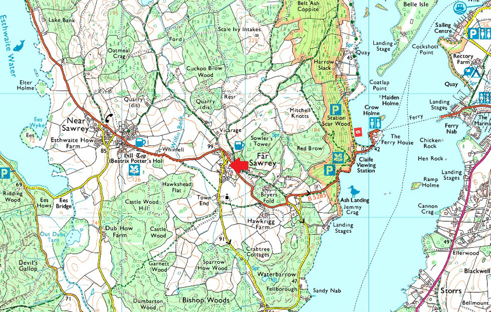
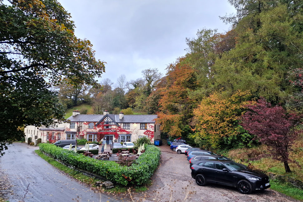
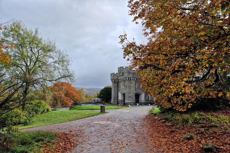
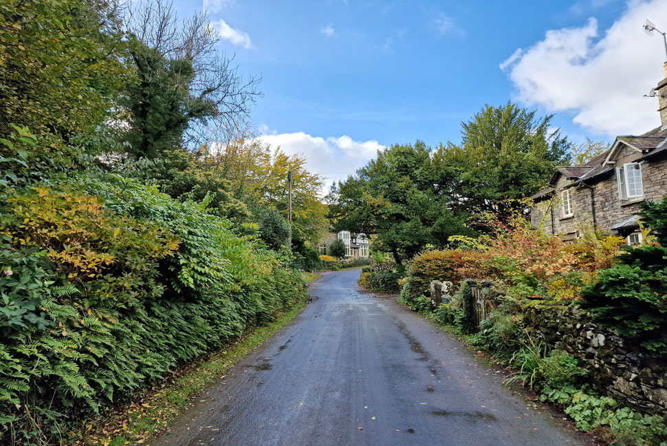
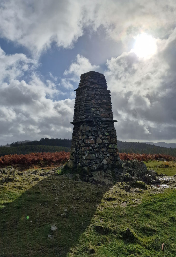
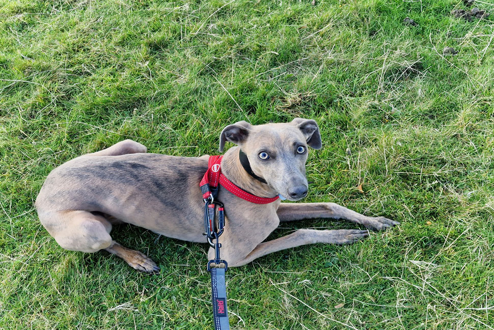
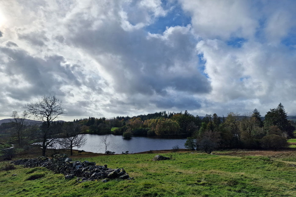
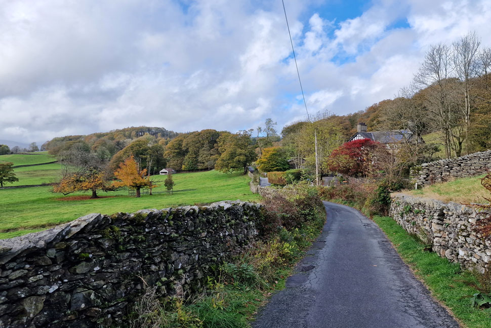
The lane descended back to Far Sawrey which seemed as quiet as we'd left it this morning with the exception of half a dozen mountain bikes leant outside the Cuckcoo Brow Inn whose owners looked over them from a nearby window. I'd stubbornly kept my waterproof jacket on throughout the day and was positively steaming when we arrived back at the village hall and I couldn't wait to take it off. We began our kit down as David puts Calva into his car who curled himself up into a ball on the back seat.

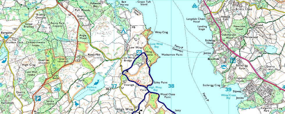
We'd walked close to ten miles and although we had hardly gained any ascent ten miles was ten miles and feet were beginning to ache a little. Luckily I'd packed my second pair of lows in David's boot and once my gaitors were removed slipping my feet into a dry lightweight shoe felt heavenly. Rod and Michael were nipping into the Cuckoo Brow Inn for a quick half before returning home and after arranging a walk for a couple of weeks time we said our goodbyes.

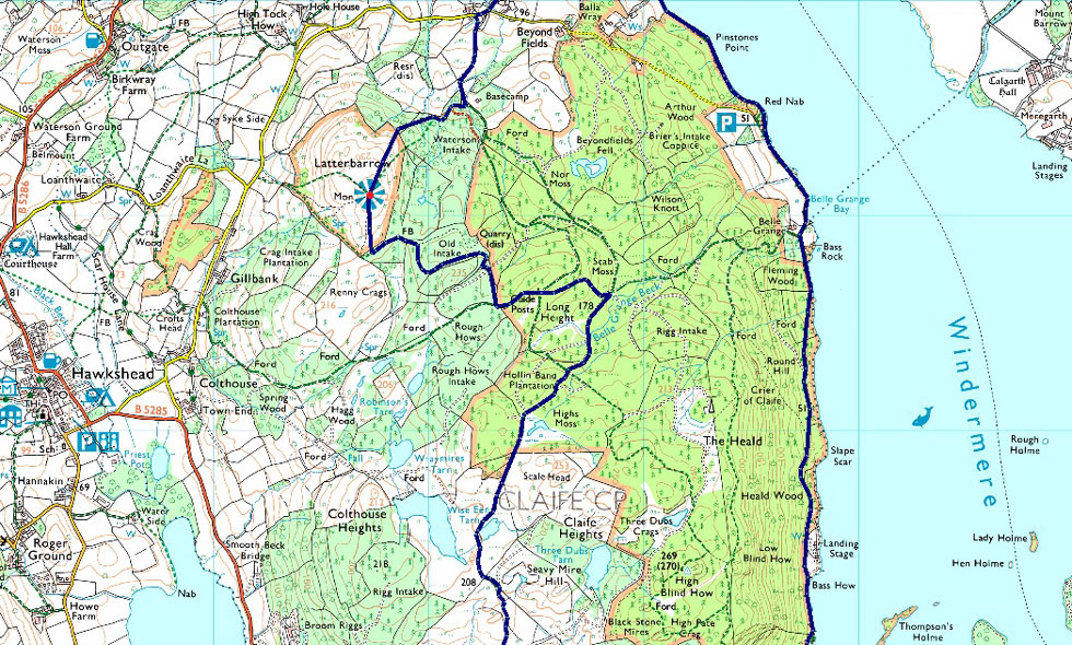
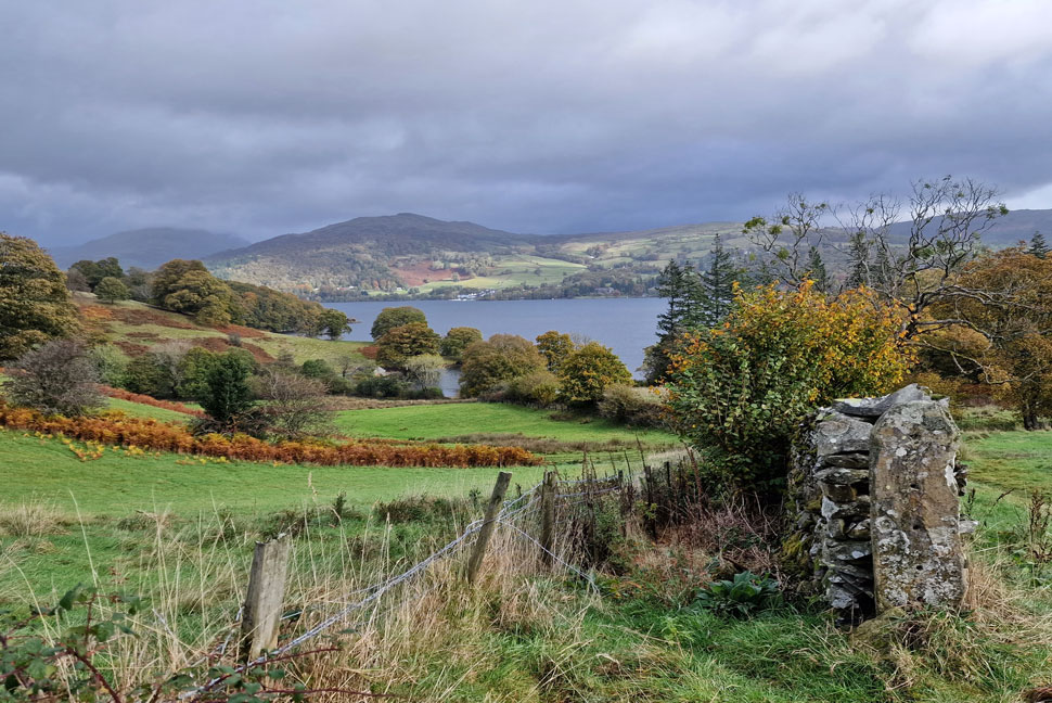
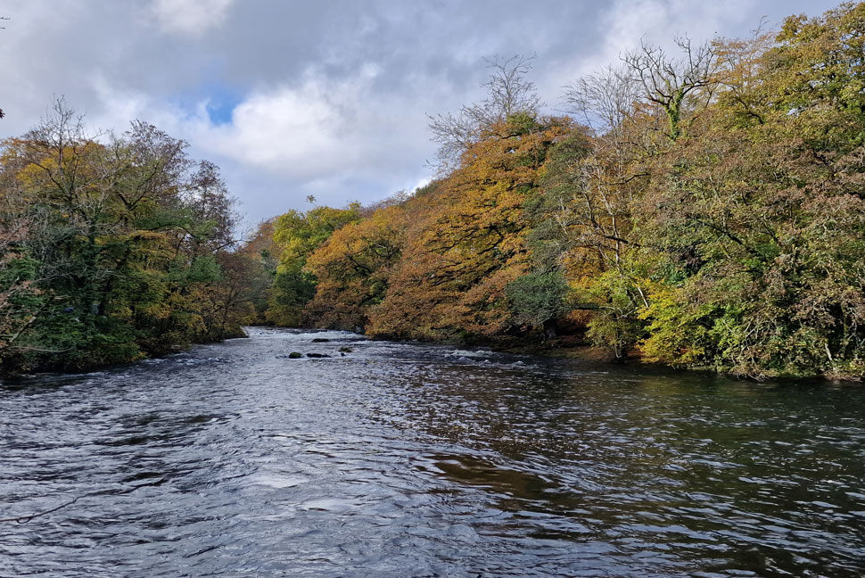
David and I still couldn't believe the heavy rain we had met up in hours earlier which among many, was the topic of conversation as we drove through Hawkshead on our way back. We reached the parking spaces at Clappersgate which were as expected, full to bursting before switching my gear from David's boot into mine. We said our goodbyes and just as I was about to get into the car I noticed the River Brathay looking quite full so before I took off for home I took in the views still steaming like a good-un.


Back to top