 |
|||||
| Home | The 214 Fells Map | The Outlying Fells | |||
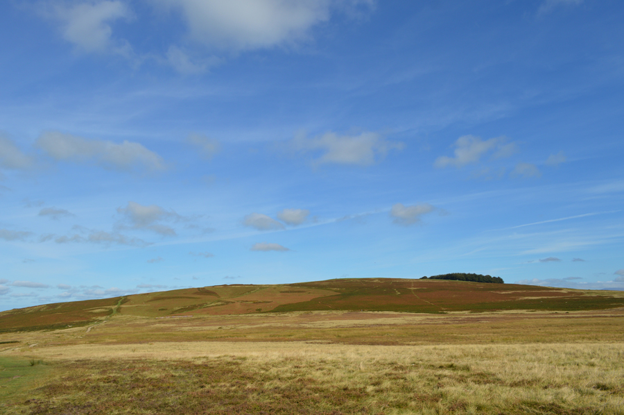
| Heughscar Hill |
|
||||||||||||
|
||||||||||||
|
||||
|
||||
| Walks including Heughscar Hil are:- |
|
|||||||||||||||
|
|||||||||||||||

|
|||||||||||||||
|
|||||||||||||||
|
|||||||||||||||
|
|||||||||||||||
|
|||||||||||||||
|
|||||||||||||||
|
|||||||||||||||
|
|||||||||||||||
|
|||||||||||||||
|
|||||||||||||||
| Back to top |
| sharkeysdream.co.uk |