|
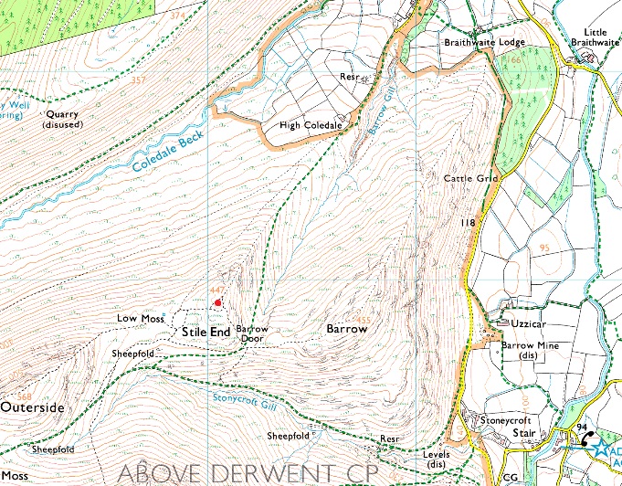
Stile End |
 |
 |
Overview |
 |
|
| Height: |
1466 Feet - 447 Metres |
| Grid Ref: |
NY 220 219 |
| Area: |
North Western |
| Group: |
NW/GRA |
| Ordnance Survey: |
OL4 |
|
| |
|
Map and Photo Gallery |
|
|
|
| |
|
Walks including Stile End are:- |
|
|
Scar Crags, Causey Pike & Barrow via Rigg Beck |
|
|
 |
|
9th May 2026 |
| ASCENT: |
2,553 Feet - 778 Metres |
| MILES: |
8.2 |
| WAINWRIGHTS: |
4, Scar Crags - Causey Pike - Outerside - Barrow |
| ROUTE: |
Uzzicar - Rigg Beck - Top of Sail Pass - Scar Crags - Causey Pike - High Moss - Top of Stonycroft Gill - Outerside - Stile End - Barrow Door - Barrow - Uzzicar |
|
| |
|
Stonycroft Gill Round |
|
|
|
|
14th January 2024 |
| ASCENT: |
2,211 Feet - 673 Metres |
| MILES: |
5.5 |
| WAINWRIGHTS: |
3, Causey Pike - Outerside - Barrow |
| ROUTE: |
Stair - Rowling End - Sleet Hause - Causey Pike - High Moss - Outerside - Low Moss - Stile End - Barrow Door - Barrow - Newlands Pass - Stair |
|
| |
|
The Coledale Horseshoe |
|
|
|
|
11th August 2022 |
| ASCENT: |
4,538 Feet - 1,384 Metres |
| MILES: |
11 |
| WAINWRIGHTS: |
9, Grisedale Pike - Hopegill Head - Wandope - Eel Crag (Crag Hill) - Sail - Scar Crags - Causey Pike - Outerside - Barrow |
| ROUTE: |
Whinlatter Pass - Kinn - Sleet How - Grisedale Pike - Hobcarton Head - Hopegill Head - Sand Hill - Coledale Hause - Wandope Moss - Wandope - Eel Crag (Crag Hill) - The Scar - Sail - Scar Crags - Causey Pike - High Moss - Outerside - Barrow Door - Barrow - Braithwaite Lodge - Braithwaite - Whinlatter Pass |
|
| |
| Back to top |
 |
|