|
Scar Crags, Causey Pike & Barrow via Rigg Beck |
 |
 |
9th May 2026 |
 |
|
|
| |
|
Overview |
|
|
| Ascent: |
2,553 Feet - 778 Metres |
| Wainwrights: |
4, Scar Crags - Causey Pike - Outerside - Barrow |
| Visiting: |
Stile End |
| Weather: |
A Bright Start Turning Cloudy Through The Morning. Slight Breeze At Height. Highs of 11°C Lows of 10°C |
| Parking: |
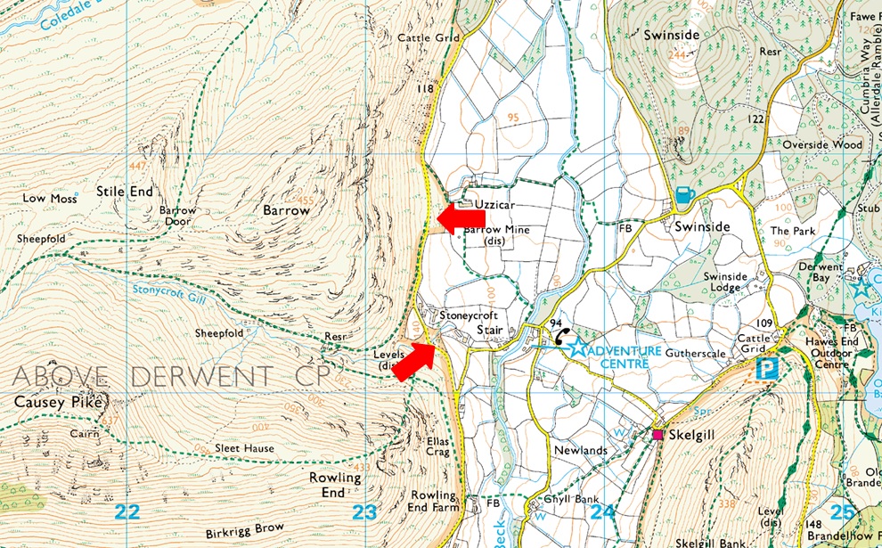
Parking Spaces, Uzzicar, Newlands Valley |
| Area: |
North Western |
| Miles: |
8.2 |
| Walking With: |
David Hall & Rod Hepplewhite |
| Ordnance Survey: |
OL4 |
| Time Taken: |
5 Hours |
| Route: |
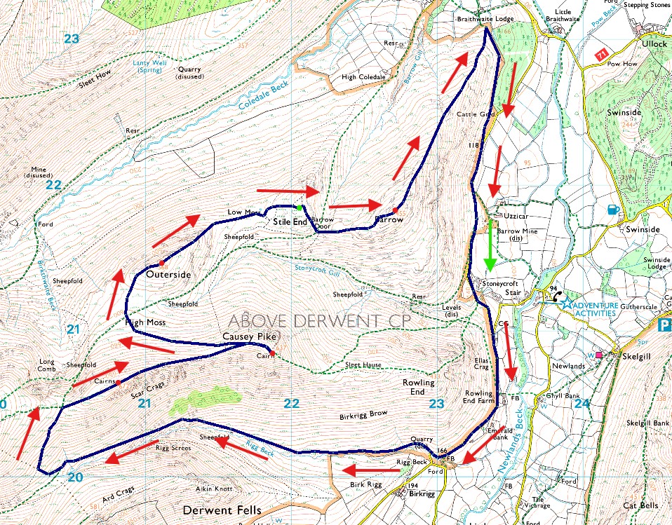
Uzzicar - Rigg Beck - Top of Sail Pass - Scar Crags - Causey Pike - High Moss - Top of Stonycroft Gill - Outerside - Stile End - Barrow Door - Barrow - Uzzicar |
|
| |
|
Parking Details and Map |
|
|
| Nearest Post Code: |
CA12 5UF |
| Grid Reference: |
NY232 821 (Uzzicar Farm) - NY 233 021 (Stonycroft Gill) |
|
| |
|
Map and Photo Gallery |
|
|
 |
| |
| |
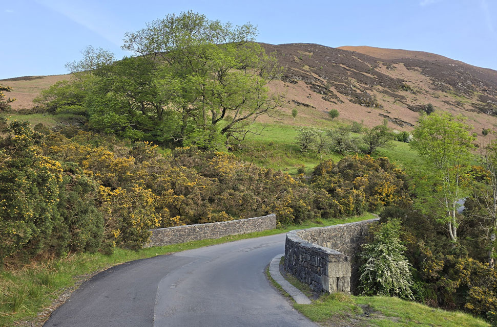 |
| Barrow from Stonycroft Gill Bridge 7:00am 10°C |
The trio had arranged to get back together with no real idea where to walk as the forecast wasn't looking good at all. By Thursday the emails were flying, and even though the outlook promised rain throughout the morning we agreed we'd walk anyway the only question being, was where. I think it was Friday morning when David suggested this route. I was in work up to my eyeballs, but I managed a quick reply: "Let's go for it." The forecast hadn't budged it was still set to be a wet, low-cloud kind of day, and we were fully expecting to be in waterproofs from the off. So we couldn't quite believe it when we pulled into the parking spaces outside Uzzicar Farm to find it not only dry, but in sunshine.
Even then, I checked the Met Office app which still displayed that nearby Braithwaite was due rain. It bordered on ridiculous but we weren't complaining. I arrived first and was surprised to find the lay-by almost full, with two large Keswick Adventures groups gearing up and more still arriving. Soon David arrived , and five minutes later Rod, and that was it the car park was rammed. After folding my waterproof jacket into a retangle which looked more like a triangle I squashed it into my pack but kept my over-trousers handy in the side pocket of my pack along with a pair of waterproof gloves. Judging by the blue skies, we weren't going to need them at least for now. |
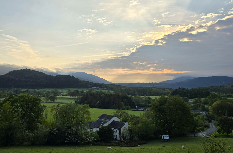 |
| Views over Stair towards Swinside, Blencathra and Clough Head. |
| One of the two walking groups had already set off while we were still kitting up; the second gathered opposite the car park as if they were waiting for a specific start time before they could leave. We left the car park, passed the group, while still not quite believing we had clear skies and relatively mild temperatures as we made our way towards Rigg Beck. To say this lifted our moods would have been an understatement. |
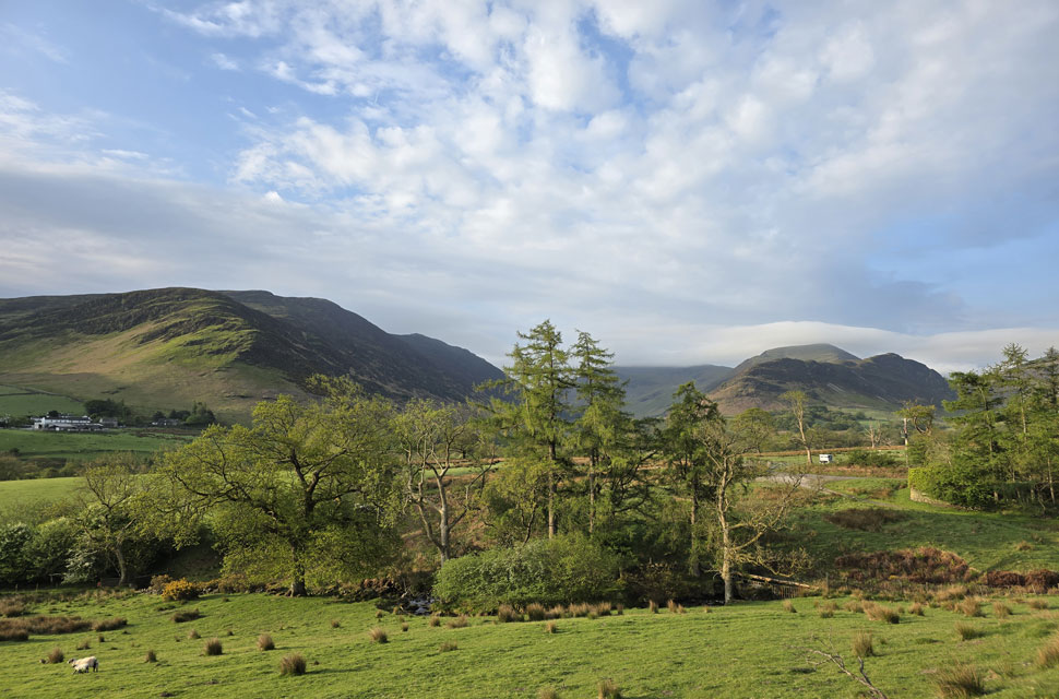 |
| Views towards Little Town, High Crags, Maiden Moor, High Spy, Dale Head and Robinson. |
| It was a lovely and peaceful start to the walk, although it soon became apparent that every farmhouse or cottage we passed had a generator humming nearby just like the one seen here on the right leaving us to wonder whether the valley was without electricity. |
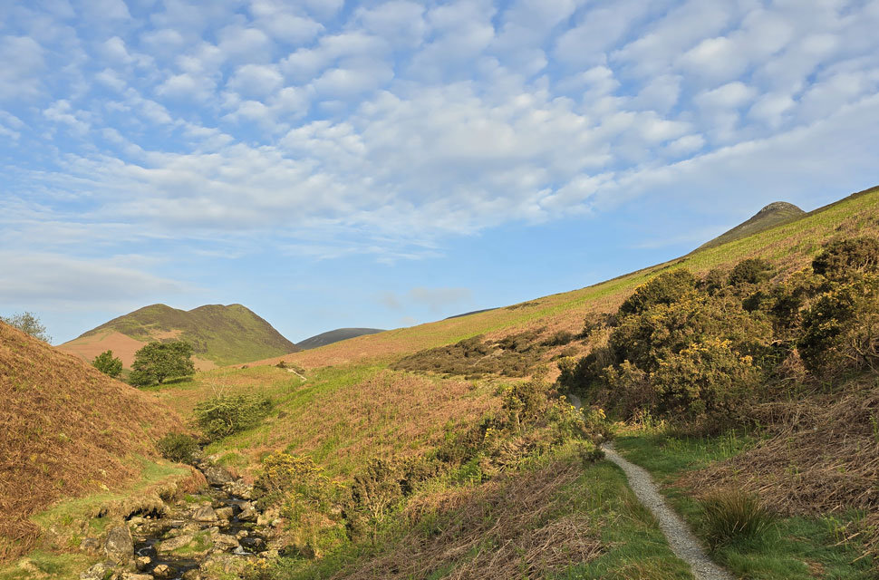 |
| Views towards Ard Crags, Sail and Causey Pike from Rigg Beck. |
| Rigg Beck was soon reached and we were treated to fantastic views into the valley as far as Sail on our the horizon. |
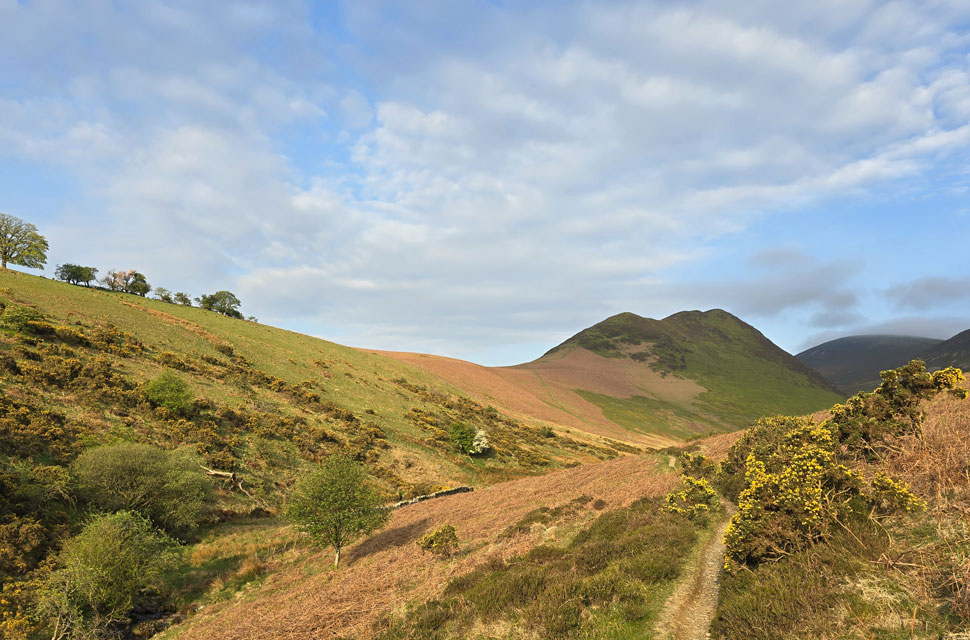 |
| Ard Crags from Rigg Beck. |
| On my drive through this morning, both Blencathra and Skiddaw were completely clear, as was the Dodd ridge all the way to Browncove Crags on the Helvellyn range. Yet the High Street fells were buried under cloud, as were the Mell Fells. It was a peculiar start to the walk on a morning when, according to the forecast, we should have been taking a soaking right about now. |
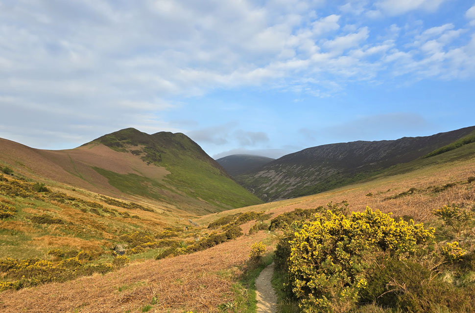 |
| Scar Crags comes into the view over on the right. |
| With Sail just beyond. |
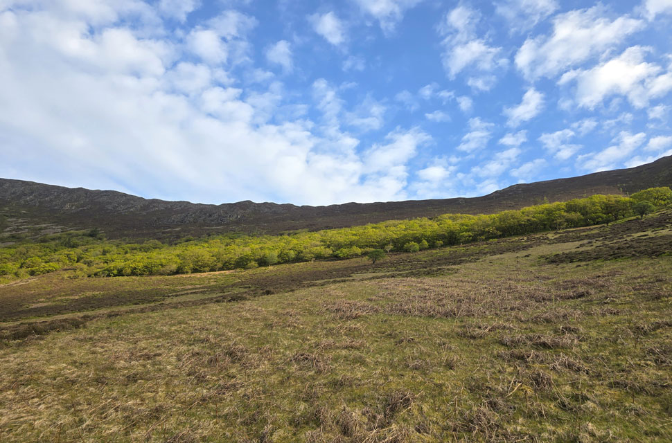 |
| Ancient woodland below Cause Pike. |
| It was mentioned that this woodland of Sessile Oak trees below Causey Pike may originate to the time when the Lake District was covered in forest after the last ice age over 7,000 years ago. |
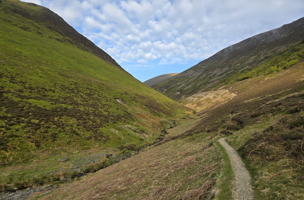 |
| Continuing to follow Rigg Beck. |
| The track through Rigg Beck gradually gains around 990 feet of ascent over 1.8 miles, and it's from here that we really start to feel the climb, with plenty of short but steep sections, it's also where the valley approaches its narrowest point. |
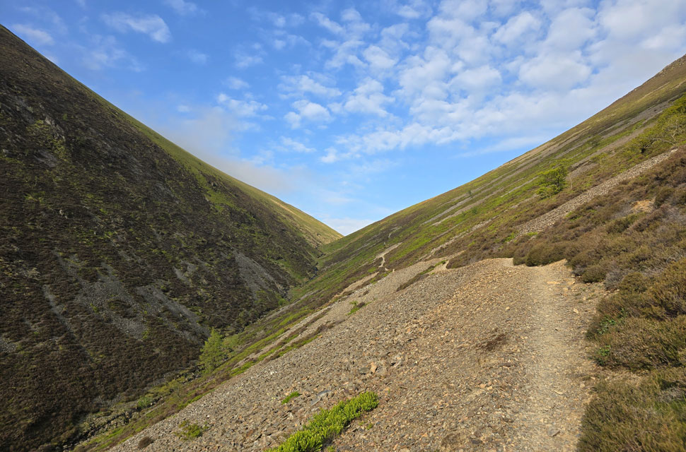 |
| Onward and upward. |
| That's the col ahead which links Ard Crags with the top of Sail Pass. |
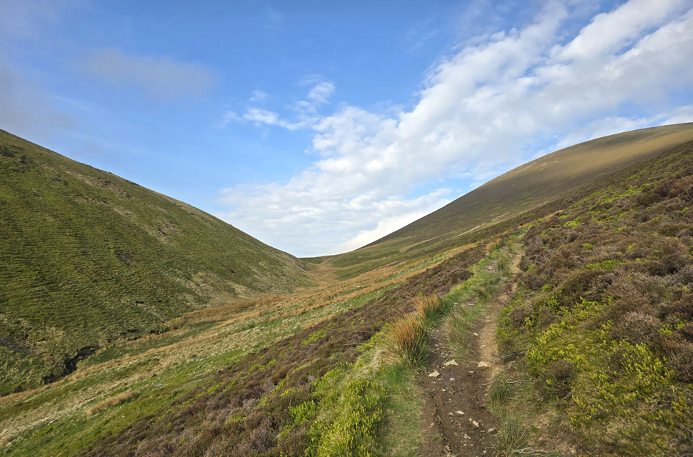 |
| The grassy col ahead. |
| |
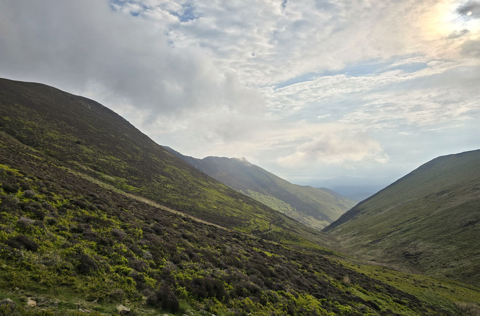 |
| Looking back through Rigg Beck. |
| With Scar Crags and Cause Pike on the left and Ard Crags now on the right. |
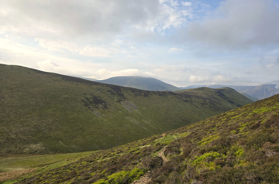 |
| Views back over Knott Rigg with Robinson Beyond. |
| We reached the crassy col and loacted the path towards the top of Sail Pass. |
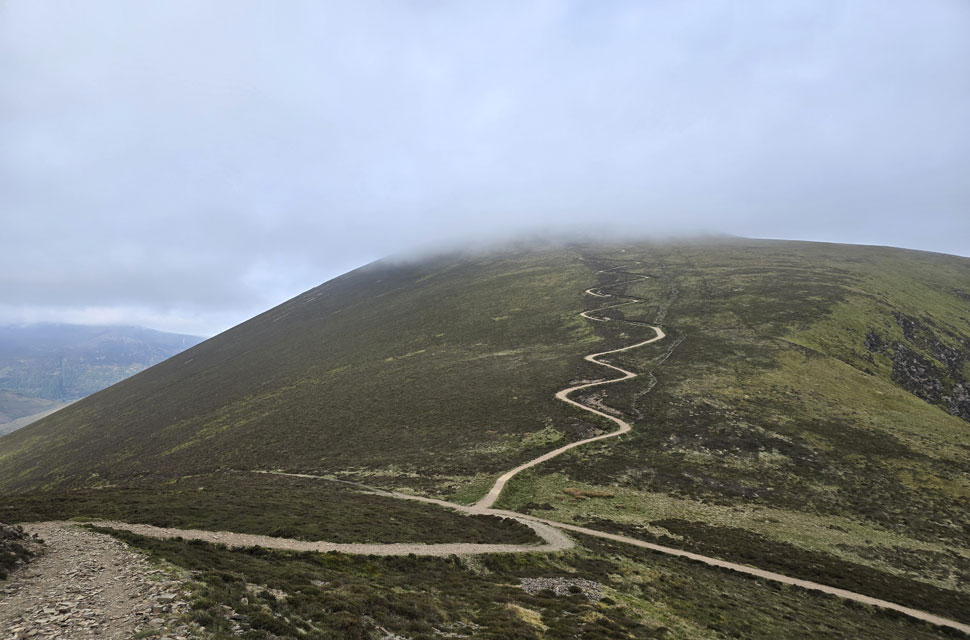 |
| Views over the top of Sail Pass towards Sail. |
| The path onto Sail continues to blight the landscape and if you look to the right, you can see a new trod forming most likely the result of fell runners choosing the quickest way down. |
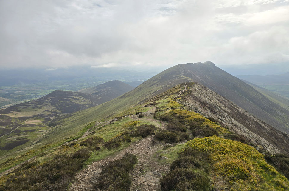 |
| Scar Crags, Stile End and Barrow from Scar Crags. |
| We soon reached Scar Crags, during which time we were drifting in and out of cloud, much like most of the northern and north-western fells. It looks like we've lost the sunshine, but at least it's still dry if not a tad on the nippy side. |
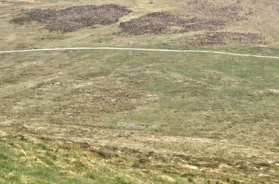 |
| The stone cross below Scar Crags/High Moss. |
| We stopped to take in the view of the stone cross that sits in the High Moss area on a grassy shelf between Scar Crags and Causey Pike. It was the first time Rod and I had seen it, with David only discovering it during a previous pathless descent of Scar Crags. David mentioned how similar it is to the stone crosses found on Blencathra, and we wondered whether they might be linked. |
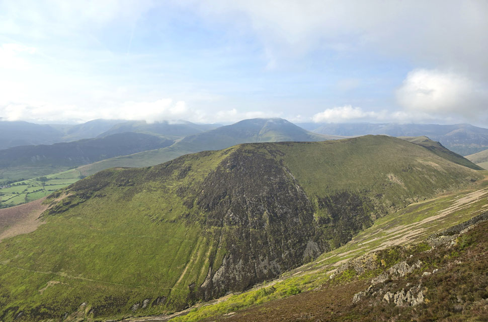 |
| Looking back over Rigg Beck. |
| Towards Ard Crags and Knott Rigg, with the woodland I mentioned earlier visible in the lower half of the image. |
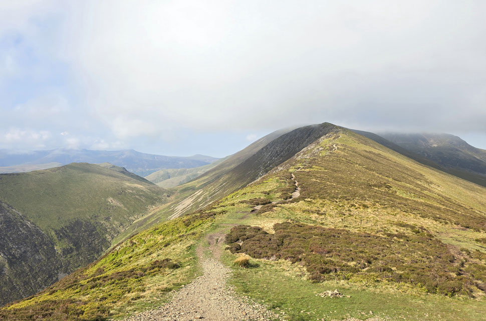 |
| Lookin back on Knott Rigg, Scar Crags, Sail and Eel Crag (Crag Hill) |
| From here we were able to get a good view of the grassy col at the top of Rigg Beck over on the left, sitting like a saddle between the ridges with Mill Beck droping away on the far side winding its way back towards Buttermere. |
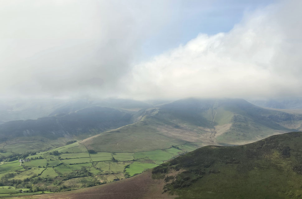 |
| The view over Aiken Knott on Ard Crags towards a cloud topped Robinson from Causey Pike summit. |
| The sunlight came and went, but when it did break through it actually carried a bit of warmth taking the edge off the breeze. We arrived at Causey Pike and, for a few moments, had the summit to ourselves while we took in the views. Then two young lads popped up from the Sleet Hause side having scrambled their way onto the summit. |
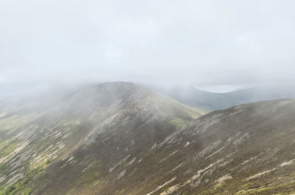 |
| Cloud rolls in... |
| |
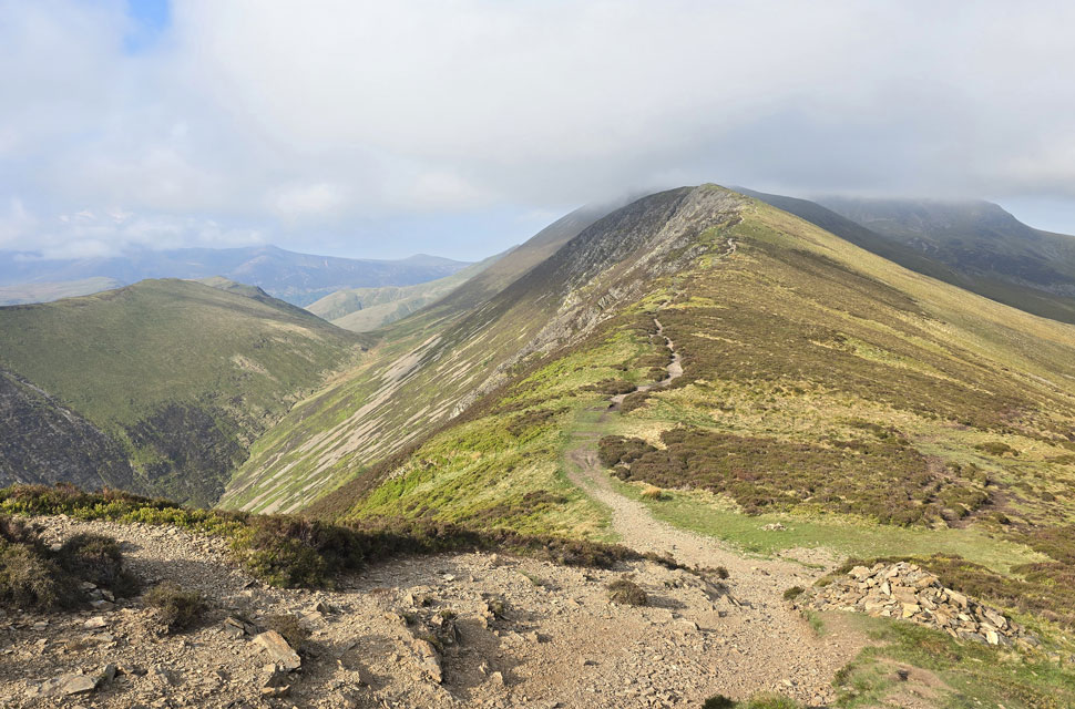 |
| ...but peels away just as quickly. |
| We head right at the stone cairn before begining our descent over High Moss towards Outerside. |
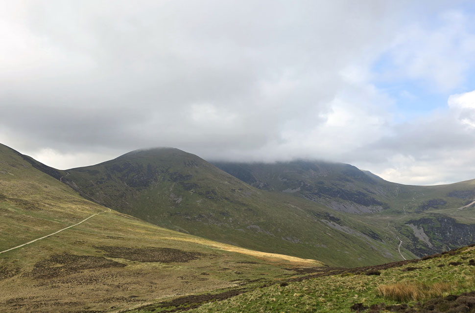 |
| Looking back on High Moss towards Sail and Eel Crag (Crag Hill) |
| With Coledale Hause seen to the right taken during the ascent of Outerside. |
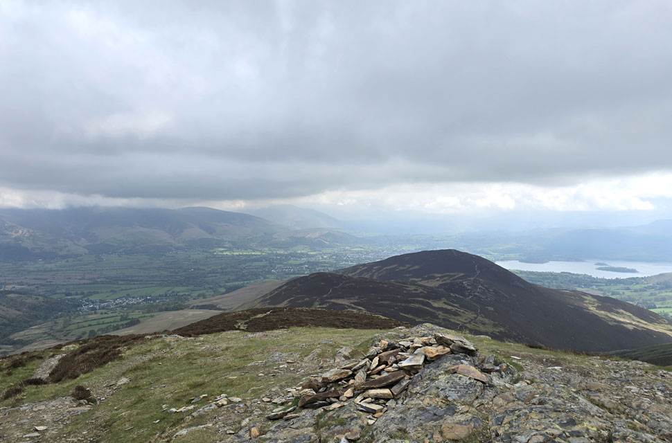 |
| Stile End and Barrow from Outerside summit cairn. |
| It was a steep pull onto Outerside and by the time we reached the summit we'd lost the sunshine altogether, now replaced by a blanket of thick grey cloud. We'd been lucky so far, and still couldn't quite believe we'd managed to walk a good percentage of the route in sunshine rather than showers. |
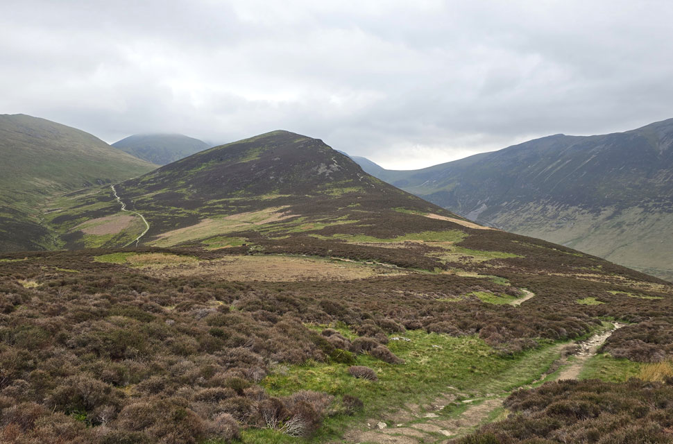 |
| Looking back on Outerside. |
| |
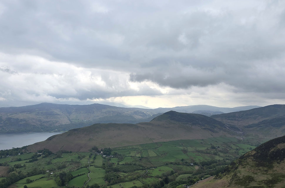 |
| Cat Bells and Derwent Water from Barrow summit. |
| Someone has definetly turned the light off. |
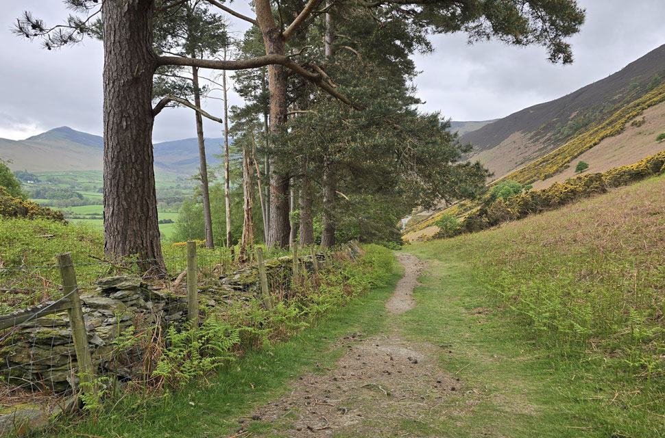 |
| Heading back to the lay-by at Uzzicar. |
The two young lads we'd met back on Causey Pike summit who'd gone on to Scar Crags, Sail and Outerside overtook us, and I couldn't help joking that we'd slowed down for them. In truth, we'd stopped so many times to take in the views or put the world to rights that we hadn't noticed our drop in pace, but it didn't matter. We passed an old boy shortly before reaching Barrow summit, sprightly in his step, who gave us a cheery "morning" as he went by. At the summit we found two girls taking selfies who explained they were bagging Wainwrights. They were pleasant enough, and we chatted for a few minutes before wishing them well for the rest of the day and beginning the lovely descent of Barrow. Our view was of low cloud draped over Skiddaw, stretching as far as Blencathra, with Bassenthwaite Lake lying low at its southern tip.
The village of Braithwaite below looked busy with traffic coming and going as we neared the end of our descent, where we hooked right and followed a narrow, tree-lined trod back to Newlands Pass. Flanked by yellow gorse, we descended onto the pass, where I watched David kick his feet into the backs of his boots as we made our way back to the lay-by. The roofs of dozens of cars confirming it was just as busy as we'd left it. Despite how busy the car park looked up ahead, the pass itself was quiet only stepping aside for the odd car or dog walker coming the other way. We spotted two Adventure Keswick minibuses waiting for their groups to return, the last we'd seen of them, they were crossing the top of Sail Pass heading for Sail. |
|
| |
| Back to top |
 |
|