 |
Bowscale Fell East Top |
 |
 |
Overview |
 |
|
| Height: |
2,303 Feet - 702 Metres |
| Grid Ref: |
NY 340 310 |
| Area |
Northern |
| Group: |
BLE |
| Ordnance Survey: |
OL4 |
|
| |
|
Map and Photo Gallery |
|
|
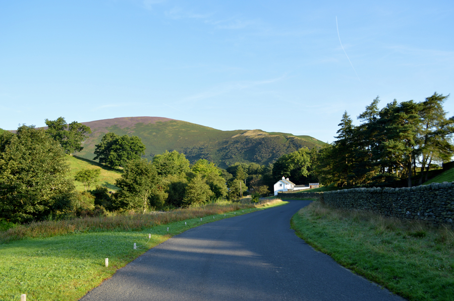 |
| Bowscale Fell East Ridge from Mungrisdale. |
| |
|
| |
|
Walks including Bowscale Fell East Top are:- |
|
|
Bannerdale Crags East Ridge from Mungrisdale |
|
|
 |
|
10th September 2022 |
| ASCENT: |
1,900 Feet - 579 Metres |
| MILES: |
6 |
| WAINWRIGHTS: |
2, Bannerdale Crags - Bowscale Fell |
| ROUTE: |
Mungrisdale - River Glenderamackin - Bannerdale Crags East Ridge - Bannerdale Crags - Bowscale Fell - Bowscale Fell East Top - Raven Crags - Mungrisdale |
|
| |
|
Walking the Birketts, Bannerdale Horseshoe |
|
|
|
|
18th August 2018 |
| ASCENT: |
2,201 Feet - 671 Metres |
| MILES: |
7 |
| BIRKETTS: |
4, Bowscale Fell East Top - Bowscale Fell - Bannerdale Crags - Souther Fell |
| ROUTE: |
Mungrisdale - Bowscale Fell East Top - Bowscale Fell - Top of Bannerdale Crags - Bannerdale Crags - White Horse Bent - River Glenderamackin - Mousthwaite Comb - Souther Fell South Top - Souther Fell Mungrisdale |
|
| |
|
Bowscale Fell to Souther Fell from Mungrisdale |
|
|
|
|
4th October 2014 |
| ASCENT: |
2,200 Feet – 671 Meters |
| MILES: |
7.3 |
| WAINWRIGHTS: |
3, Bowscale Fell – Bannerdale Crags – Souther Fell |
| ROUTE: |
Mungrisdale – Bowscale Fell East Ridge – Bowscale Fell – Bannerdale Crags – White Horse Bent – River Glenderamackin – Top of Mousthwaite Comb – Souther Fell – Mungrisdale |
|
| |
| Back to top |
 |
|
