Bannerdale Crags East Ridge from Mungrisdale

10th September 2022

It's getting to that time of year when relying on the forecast becomes a job in itself. I was working this weekend and after watching the forecast through the week I didn't know whether to wear shorts or waterproofs.

I made the stupidest of mistakes by not checking the travel which unbeknown to me the Highways Agency decided to close the M6 southbound between junctions 31 and 32 for bridge repairs, why on earth this couldn't be done between 9pm and 6am is beyond me. The closure brought travel chaos to thousands which over spilled into the surrounding countryside bringing the likes of Lancaster, Caton, Galgate and Garstang to an absolute standstill which would of continued every weekend until the first weekend in October had the Police not intervened.

Reading the news this morning some people were in their cars for a staggering 12 hours calling the closure a 'danger to life' and called for the sacking of whoever made the decision to close the motorway. I must admit whilst driving north the queues where tailing back to Lancaster and my heart sank knowing Id be in them on my return journey.

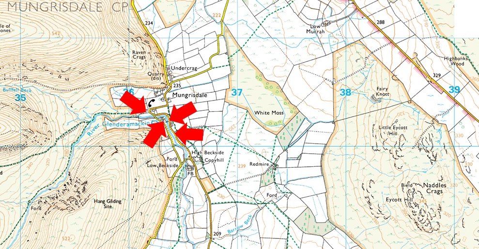
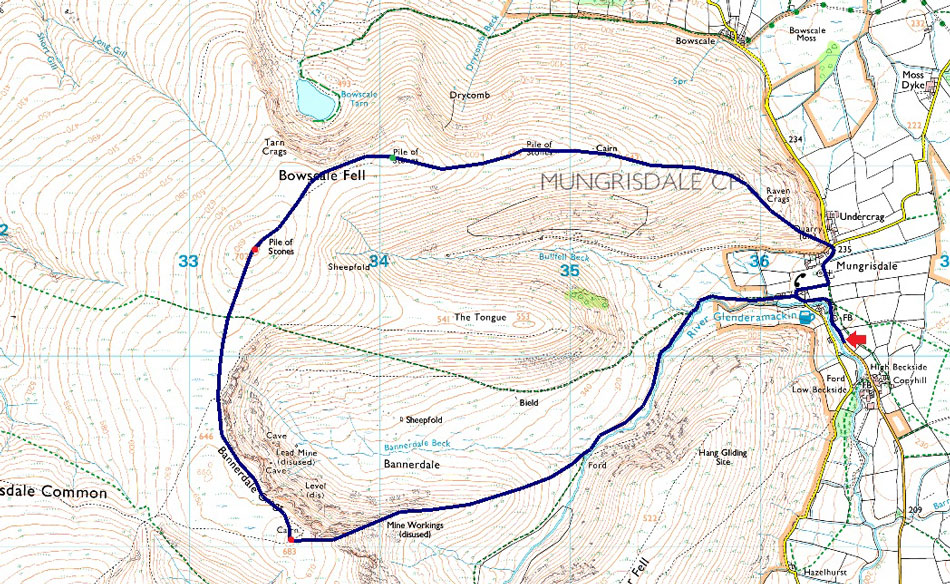
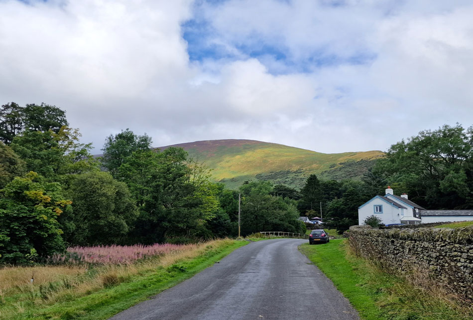
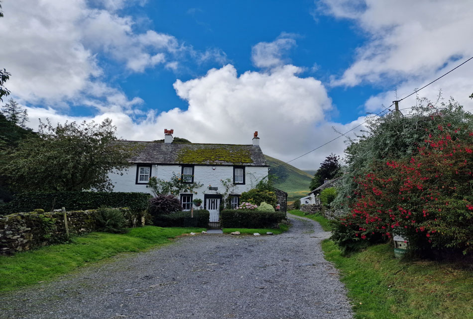
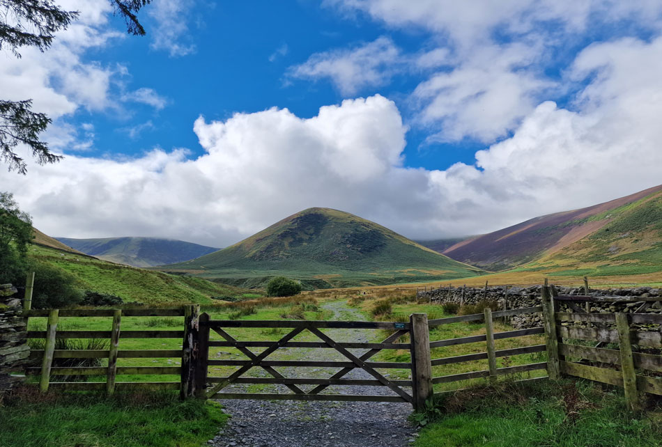
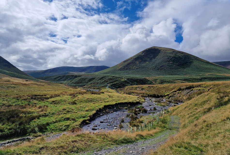
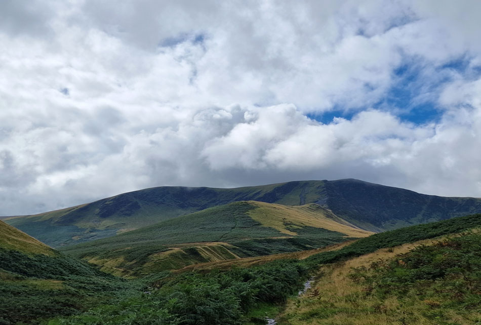
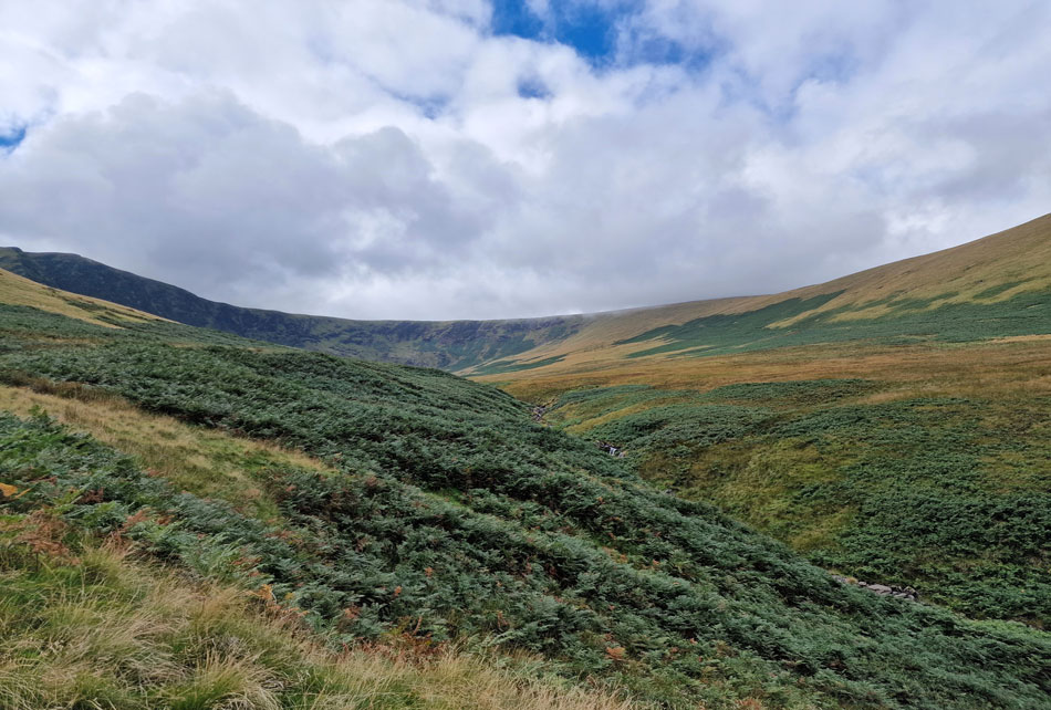
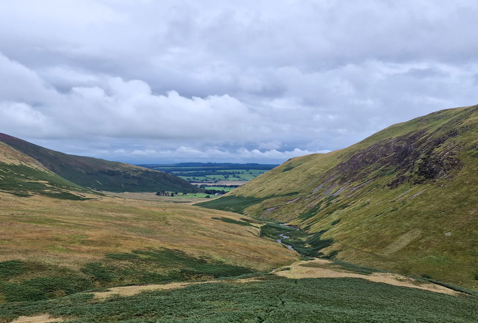
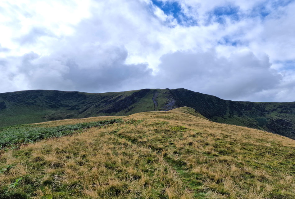
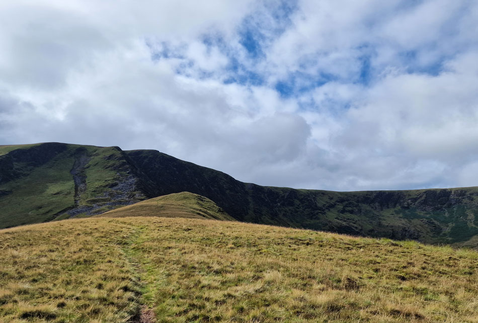
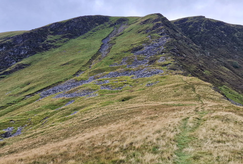
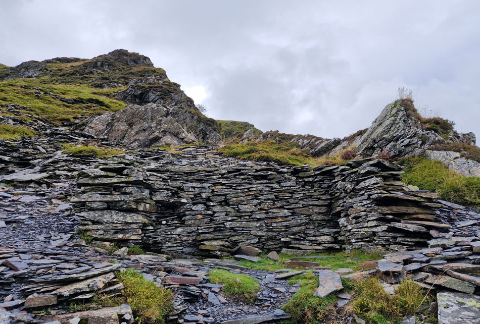
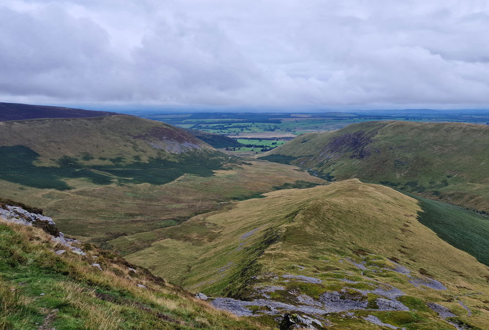
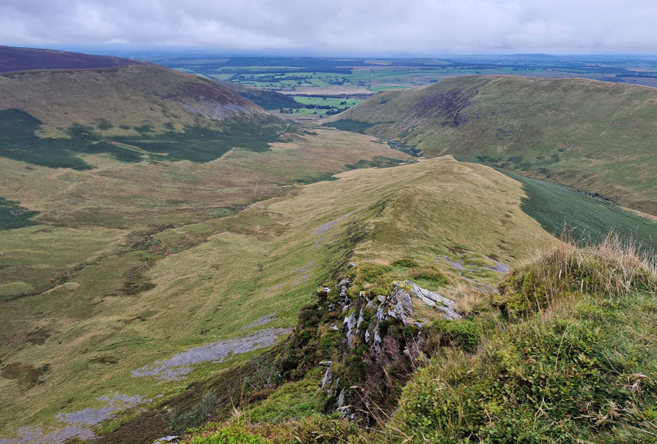
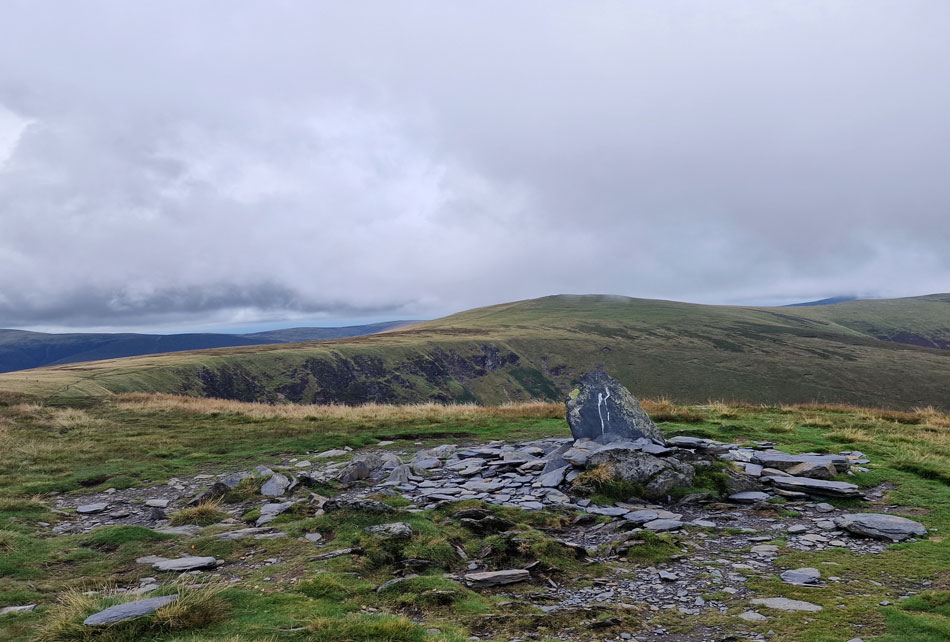
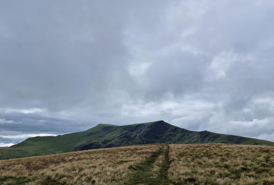
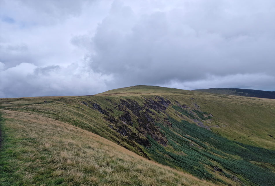
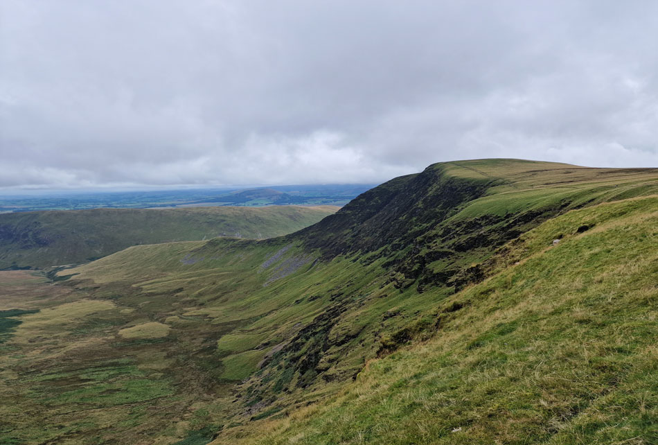
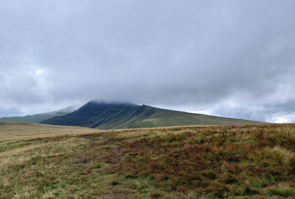
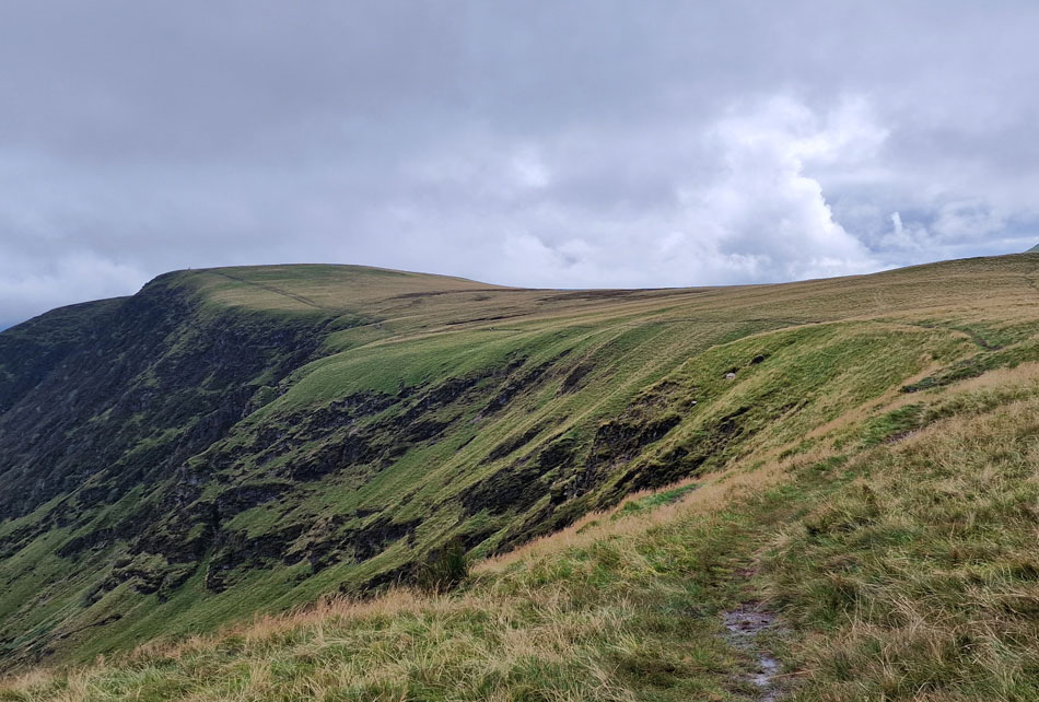
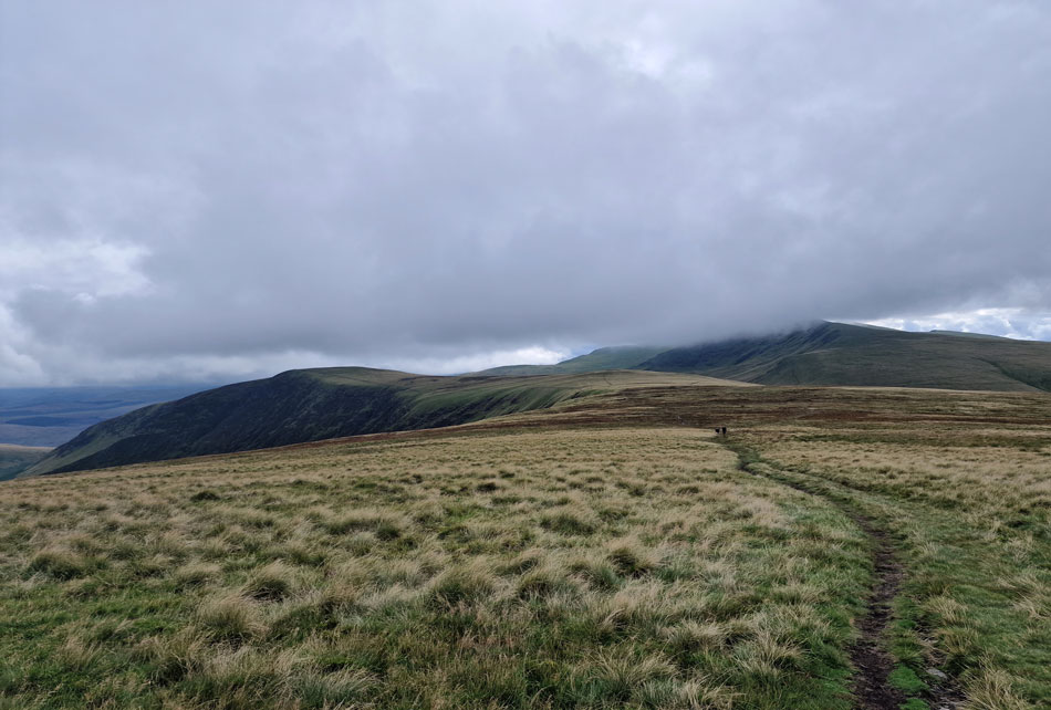
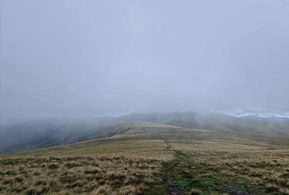
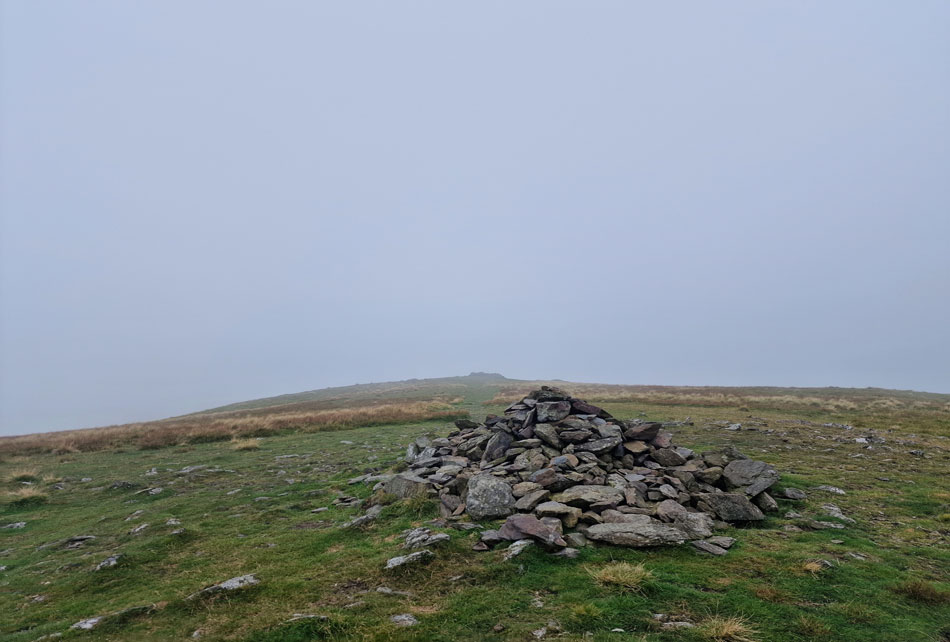
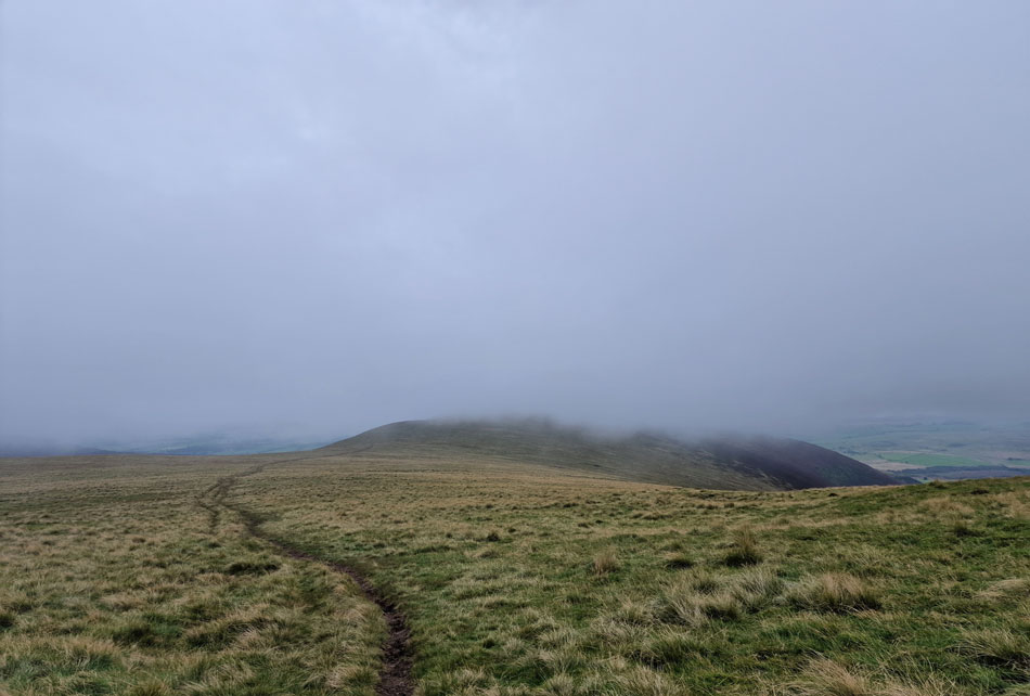
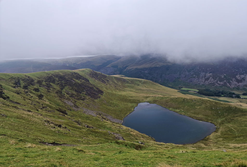
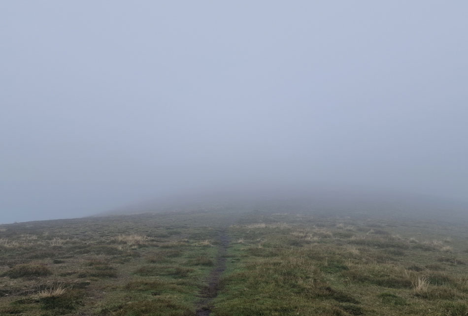
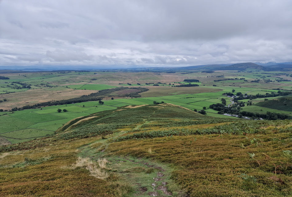
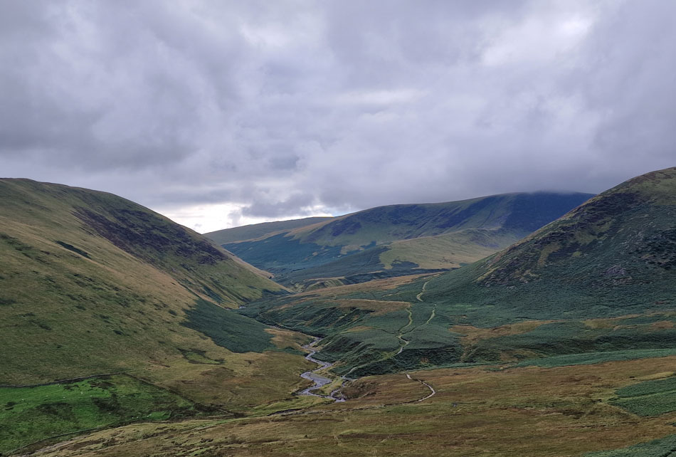
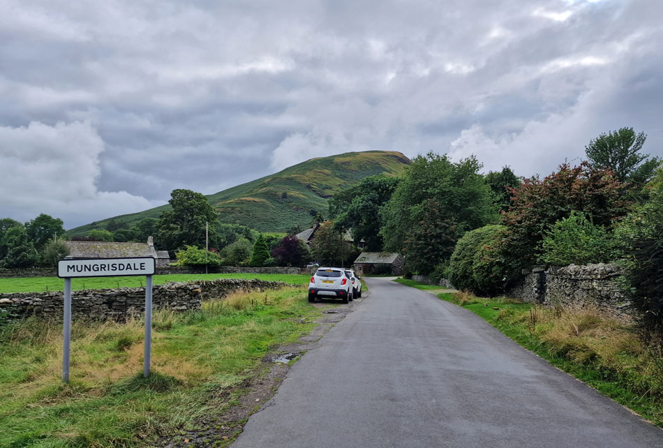
Bannerdale Crags east ridge made my 'go to fell walk' list the moment I first walked it which was handy today because no matter how much I tried knowing that I had hours of sitting in traffic after I'd completed my walk was never far from mind.

 
Wainwright Guide Book Five
The Northern Fells

Bannerdale Crags East Ridge

The most direct route and the one recommended, is that via the easy ridge – the obvious key to the ascent of the mile long escarpment. Towards the end this becomes a grand scramble in an impressive situation – a bit of real mountaineering.


Overview
Ascent: 1,900 Feet - 579 Metres
Wainwrights: 2, Bannerdale Crags - Bowscale Fell
Visiting: Bowscale Fell East Top
Weather: Periods of Sunshine Predominantly Cloudy. Feeling Brisk In Cloud. Highs of 18°C Lows of 10°C
Parking: Parking Spaces, Mungrisdale Village
Area: Northern
Miles: 6
Walking With: On My Own
Ordnance Survey: OL4
Time Taken: 2 Hours 50 Minutes
Route: Mungrisdale - River Glenderamackin - Bannerdale Crags East Ridge - Bannerdale Crags - Bowscale Fell - Bowscale Fell East Top - Raven Crags - Mungrisdale
 

Parking Details and Map
Nearest Post Code: CA11 0XR
Grid Reference: NY 364 730
Notes: The village of Mungrisdale is quite a small village with limited parking. The lower right arrow points towards a grass verge on the left prior to entering the village with room for around five cars, parking here is free. The lower left arrow points towards the Mill Inn which has a car park to the rear and is for guest only. The upper right arrow is the main car park in the village which is found opposite the village hall where a sign advises users to use the honesty box outside the village hall. The upper left arrow points towards street parking found at the northern edge of the village, to locate, turn left once the red phone box is reached.


Map and Photo Gallery


Bowscale Fell East Ridge from Mungrisdale 13:45pm 16°C

I'd put the travel chaos behind me as best I could and arrived in Mungrisdale under warm afternoon sunshine. I got lucky on arrival as a car was indicating to pull out the parking spaces by the grass verge and I slotted myself in and nodded at the driver by way of thanks. It's very mild verging on hot and despite this I made the decision to wear my Montane stretchy hoodie based on a group of walkers who had just returned to their cars who were all wearing lightweight waterproof jackets or long sleeved base layers.

With my work clothes spread across my backseat I performed a final sweep of the boot not forgetting to pack a waterproof jacket which I rolled tightly into my pack. With my car locked I left the verge and began the short walk through the village passing the Mill Inn on the other side of the River Glenderamackin where families ate on the outside tables. Their chatter quickly faded into the distance to be replaced by the gentle flow of Glenderamackin as I walked up hill towards the familiar red telephone box which was overcome with green mold and tree sap.


Bannerdale View Cottage, Mungrisdale.
At the red phone box I turn left where I spotted two car parking spaces and silently let out a D'oh! I always forget about parking here which would have been ideal as I pass here on my return. Just by Bannerdale View cottage is the gate which gives access to the Bannerdale Valley.

Bannerdale Crags, Bannerdale Crags East Ridge, The Tongue and Bowscale Fell East Ridge.

That's Bannerdale Crags with the east ridge below over on the left. The weather is playing ball at the moment but after a quick check on the Met Office Weather App told me that right now these fells should be below fog! If anything the cloud is lifting and it's feeling much hotter now as I step into the afternoon I'm already regretting putting my stretchy hoodie on.

Despite what I'm presented with I'm not dismissing the forecast completely as I sense it's going to be one of those walks where the forecast can change at the flip of a coin so to speak.


Bannerdale Crags, Bannerdale Crags East Ridge and The Tongue.

The path diverts left slightly but comes to a dead end where the river bank has been washed away as seen up ahead. You do have the option to cross the river over on the left then again on't other side of the bend but you never know how deep the water is going to be so I go with the safest option and divert right and follow a series of flat stone slabs towards a footbridge where Bullfell Beck flows into the River Glenderamackin.

You can't see it but the footbridge is around the centre of the photograph.


Bannerdale Crags and Bannerdale Crags East Ridge.
The path is notoriously boggy and after a night of rain, today was no exception. It's been a while since my boots got so damp so early into a walk.

Bannerdale.
With Bannerdale Crags forming the head of the valley.

Looking back on Bowscale Fell East Ridge (left) and Souther Fell (right)
The local farmer is buzzing about on his quad bike tending to sheep somewhere off in the distance. There's something charming about hearing a quad bike's engine fade in and out while your out on the fell.

Bannerdale Crags East Ridge.
The east ridge is gained from a second footbridge where Bannerdale Beck flows into the River Glenderamackin. The initial climb is steep followed by a steady climb flanked by at times, shoulder high bracken most of which was on the turn as we leave Summer behind ready for Autumn.

Bannerdale Crags East Ridge.
The rewards for gaining the ridge is this lovely flat grassy ridge before the hard work begins.

Bannerdale Crags East Ridge.
A prominent path directs through the workings and slate waste of what once was part of Bannerdale Lead Mine (1854 - 1870) located in the valley below.

Ruined mining hut.
Now a great spot to enjoy a cuppa. Seeing as I don't have my flask with me I continue my ascent.

Looking down on Bannerdale Crags East Ridge.
With Bowscale Fell east ridge seen left, the Bannerdale Valley and Souther Fell seen right.

Bannerdale Crags East Ridge.
This view gives the elusion of the spine of the ridge.

Bowscale Fell from Bannerdale Crags summit.
I thoroughly enjoyed the ascent which seemed over too soon. Minutes before arriving at the cairn I spotted two walkers leaving in the direction of Bowscale Fell, then noticed there was a further two ahead of them, two more heading towards Blencathra and another two descending Bowscale Fell summit. Blimey these two summits are mighty popular this afternoon.

Impressive views towards Blencathra from Bannerdale Crags summit.
With Doddick Fell seen left, Hall's Fell Top (Blencathra) Saddleback, Atkinson Pike and Sharp Edge.

Views over the head of Bannerdale valley towards Bowscale Fell and Bowscale Fell Top (East Ridge)
Besides the excellent ascent of Bannerdale Crags east ridge I was also looking forward to crossing the head of the valley which I haven't walked since August 2018

Looking back on Bannerdale Crags summit and East Ridge.
There isn't much left to see of the old lead mine which is located at the base of crags in the valley below. Wainwright wrote that the "lead mine is defended by a shocking swamp making a visit hardly worth while except for those interested in abandoned mines"

Sharp tastic.
Walking in wall to wall sunshine is all fair and well but nothing beats the dramatics that cloud topped summits can create.

Looking back on Bannerdale Crags.
 

More views looking back on Bannerdale Crags and a cloud topped Blencathra.

Crossing the ridge between Bannerdale Crags and Bowscale is another notoriously boggy area and I quite enjoyed the feel of the mud and bog being kicked up onto the back of my calves. I soon caught the couple up who I'd seen leave Bannerdale Crags just before I arrived, trouble was I overtook them at a real boggy section where they'd come to a stop.

They were looking for a way around the bog which meant a lengthy detour but I'd spotted a pool which I reckoned I could jump over, 'It's gonna take a jump' I joked. Trouble was I now had an audience and knowing me I'll fall flat on my face during the run up. I placed both my walking poles in my right hand and gave it a good run up and landed on the other side of the pool with a big fat squelch.


Cloud decending across the ridge.
I would call this hill cloud rather than fog. Nonetheless it looks like I'm about to lose my views.

Bowscale Fell summit.
I enjoyed the easy ascent onto Bowscale Fell summit and especially enjoyed the cloud which I hadn't walked in for the best part of Summer.

Bowscale Fell East Top from Bowscale Fell.
The cloud had brought a sudden drop in temperature of for the first time I today I was pleased I'd gone with the stretchy hoodie. Up ahead is Bowscale Fell Top and my route back to Mungrisdale but instead of sticking to the path I divert left where the path bends right to hopefully get a glimpse of Bowscale Tarn.

Bowscale Tarn with Bowscale Fell North Ridge descending into the Mosedale Valley below.
It seems ages since I last clapped my eyes on Bowscale Tarn so I stood here appreciating the view a lot longer than I normally would have.

Then it was off back into the cloud.

It was whilst passing Bowscale Fell East Top summit cairn did I pass a solo walker who had his eyes glued to his phone and because of this, was walking quite slowly but quickened as he saw me approach. His body language told me he was newbie to fell walking and maybe the cloud had disorientated him and as I passed I asked him "ok pal" I couldn't grasp his reply as it was more of a mutter so I continued. Do you ever get that feeling you could have done more but selfishly didn't? That's exactly how I felt whilst walking away.


Descending Bowscale Fell East Ridge.
With distant views of Great Mell Fell and the village of Mungrisdale below.

Bannerdale.
That's Souther Fell over on the left, the River Glenderamackin centre, Bannerdale Crags East Ridge, Bannerdale Crags and The Tongue seen over on the right.

Souther Fell from Mungrisdale.
 

Mosedale Church.

I left the cloud behind as the east ridge began its descent into Mungrisdale only for my view to be replaced my a cloud topped Carrock Fell across the Mosedale Valley.

The descent steepened where I was reminded of my last ascent here with David a few years ago now. The path winds ever steeper but a mix of soil and gravel gave good purchase underfoot aided by my walking poles. There was spots of rain in the air which didn't amount to much and if anything, the temperature increased. Below in one of the cottages the owner is mowing his lawn with a petrol lawn mower which gets louder the closer I get to the cottage.

The steepness eases and soon I pass through a wooden gate and onto tarmac where I kick my feet into the backs of my boots. My car is just a ten minute walk away and despite having all that traffic to contend with I ease of the gas and pass Mosedale Church then the idyllic Cottage which was once home to Mosedale School before descending back down the hill passing the Mill Inn which was just as busy as I'd left it nearly three hours ago.


Back to top