|
Extended Round of Marchlyn Mawr |
 |
 |
11th July 2026 |
 |
|
|
| |
|
Overview |
|
|
| Ascent: |
3,442 Feet - 1, 049 Metres |
| Summits Over 3,000ft |
3, Elidir Fawr - Y Garn - Foel-goch |
| Visiting: |
3, Elidir Fach - Mynydd Perfedd - Carnedd y Filiast |
| Weather: |
Bright & Sunny Haze Clearing. Highs of 32°C Lows of 17°C |
| Parking: |
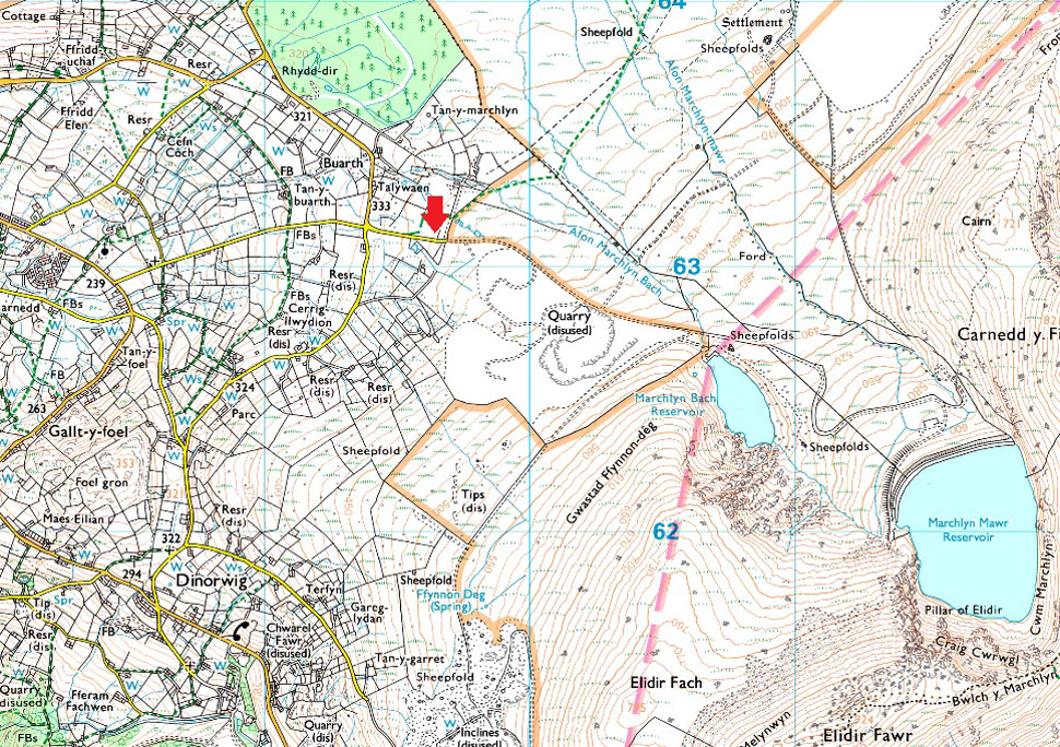
Roadside Parking, Access Road Marchlyn Mawr Reservoir, Deiniolen |
| Area: |
Eryri National Park (Snowdonia) |
| Miles: |
9 |
| Walking With: |
On My Own |
| Ordnance Survey: |
OL17 |
| Time Taken: |
5 Hours 40 Minutes |
| Route: |
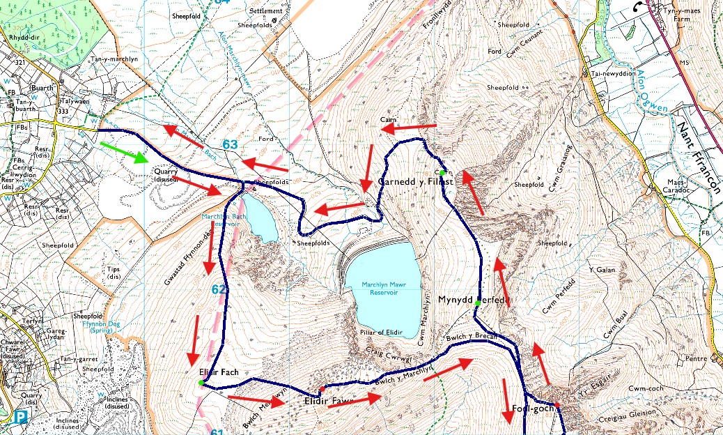
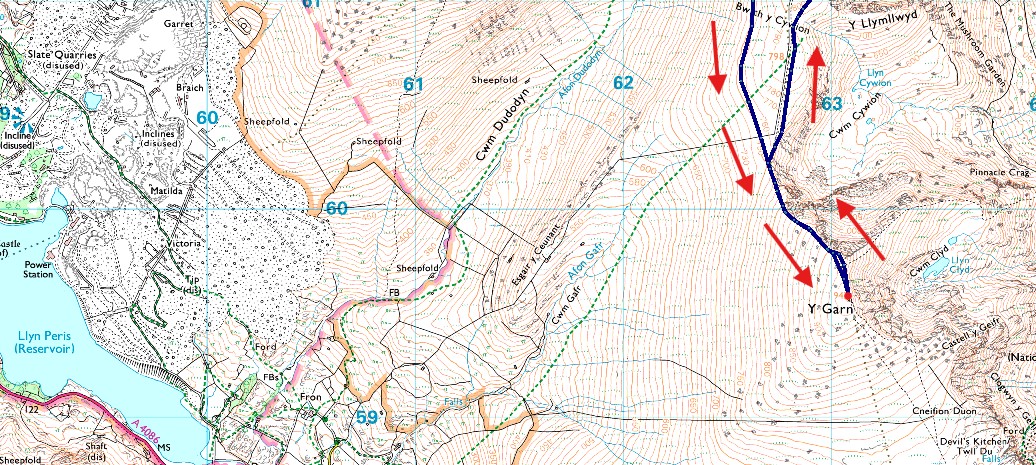
Access Road Marchlyn Mawr Reservoir - Elidir Fach - Bwlch Melynwyn - Elidir Fawr - Bwlch y Marchlyn - Bwlch y Brecan - Bwlch y Cywion - Y Garn - Bwlch y Cywion - Foel-goch - Bwlch y Brecan - Mynydd Perfedd - Carnedd y Filiast - Marchlyn Mawr Reservoir - Access Road Marchlyn Mawr Reservoir |
|
| |
|
Parking Details and Map |
|
|
| Nearest Post Code: |
LL55 3NA |
| Grid Reference: |
SH 596 630 |
|
| |
|
Map and Photo Gallery |
|
|
  |
| |
| |
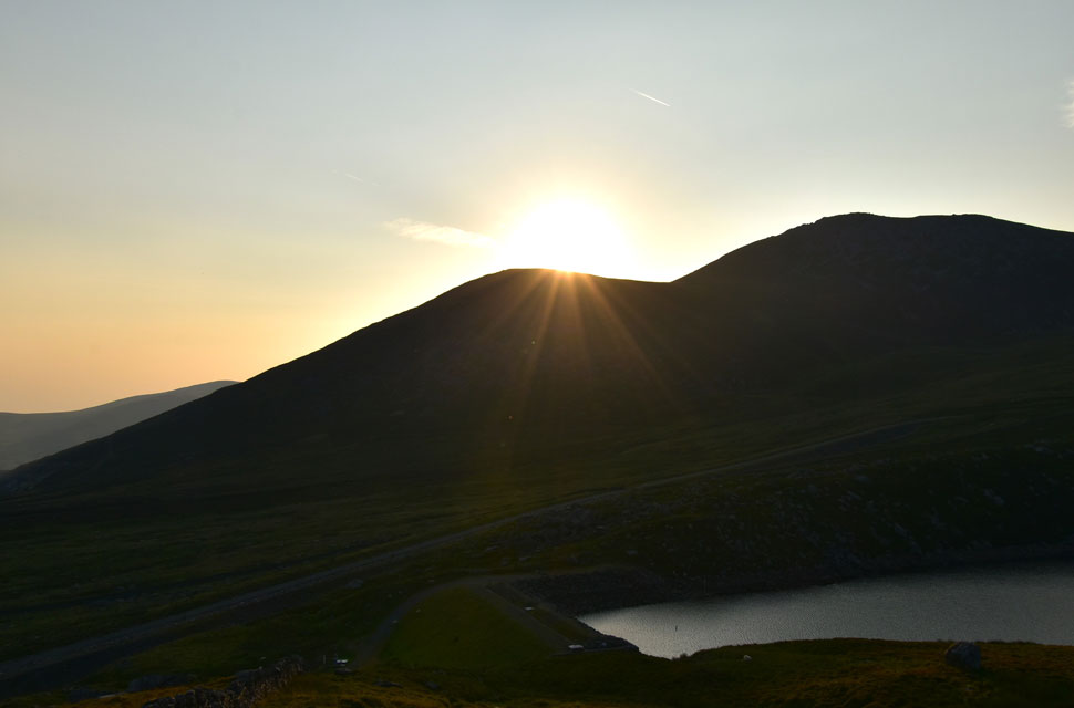 |
| Views over Marchlyn Bach (reservoir) towards Y Fronllwyd and Carnedd y Filliast 6:20am 17°C |
I missed a trick by not walking two weekends ago, and the truth of it was I was goosed after a hard week in work. I hate missing out on the fells, especially when the sun is shining, but sometimes I have to listen to my head instead of my heart. The following weekend the heatwave ended, but I still walked locally over Winter Hill under grey, brooding skies and temperatures low enough to pull my sleeves down over my hands. A few weeks later the country was hit by the third and current heatwave, with temperatures breaking records daily. I wasn't about to miss out even if it meant things were going to get a tad uncomfortable. I prepared early, hydrating my body through the week on electrolytes which taste foul but do the job.
Come Friday evening I'd emptied my pack of everything but the essentials, knowing I'd be carrying at least four litres of hydration, topped up with two 500ml bottles of Lucozade, and setting the earliest of early starts to avoid the midday heat. Up until last night I'd had my heart set on walking the Coniston ridge north to south, but the forecast wasn't as favourable as Snowdonia. I thought I'd sleep on it and see if the Lakeland forecast changed. I set my alarm for 3am and by 3:30am I checked the Lakeland forecast for the last time, it hadn't changed. So instead of heading north, I drove to the west coast of Wales for what is arguably becoming one of my 'go-to' Snowdonian walks: a round of Marchlyn Mawr.
The fortnight away had allowed the passion in me to reform, and I was eager to at least extend the route to Foel-goch and, if I hadn't melted, include Y Garn too. It was an uneventful drive to the outskirts of Deiniolen, where I parked easily in line with about half a dozen other cars which led me to guess their owners had wild-camped on the hill. It was 5:45am and the sun was rising above Y Fronllwyd in the distance through haze hampered views. According to the mountain forecast, the haze would only affect Lakeland, which was one of the reasons I chose Snowdonia over the Lakes, It's no matter. Before locking the car, I squeezed down the contents of a Lucozade Sport, then threw my pack over my shoulder. Despite only carrying the absolute essentials, it still landed against my back with a thud thanks to the weight of the hydration inside. |
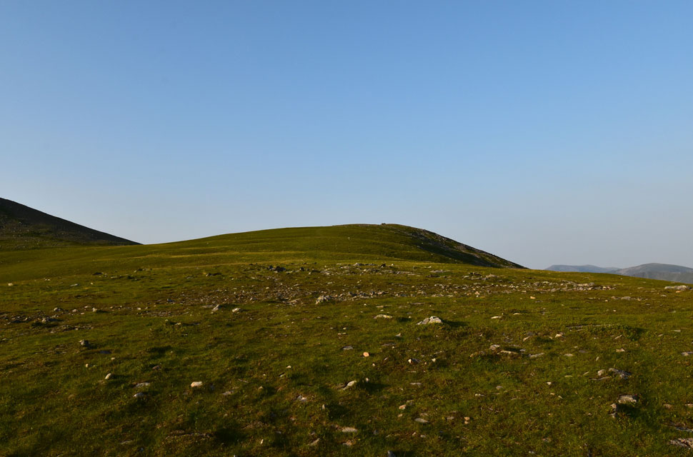 |
| Elidir Fach ahead. |
| I joined the reservoir access road which gains around 460ft in just under a mile until Marchlyn Bach reservoir is reached where I hooked a right, passing half a dozen sheep dozing on the reservoir's concrete, bone dry outflow. From this point the climb onto Elidir Fach begins, rising steadily from the off before plateauing once the shoulder is gained. After that it's a lovely, gentle half-mile stroll towards the summit shelter. |
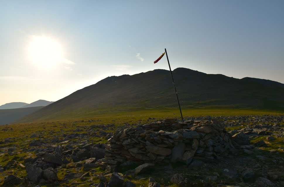 |
| Elidir Fawr from Elidir Fach summit. |
I was met with a gentle breeze as I summited Elidir Fach which was a welcome relief from the humidity now that the temperature was beginning to climb. The breeze was just enough that the weather-beaten Welsh flag at the summit never moved swaying in the same position the whole time I was there.
Gaining Elidir Fawr from here is ascended by possibly one of the most delightful mountain paths I've had the pleasure to ascend; not clear in the photo which rises diagonally onto the crest of the summit to the left of the mast. |
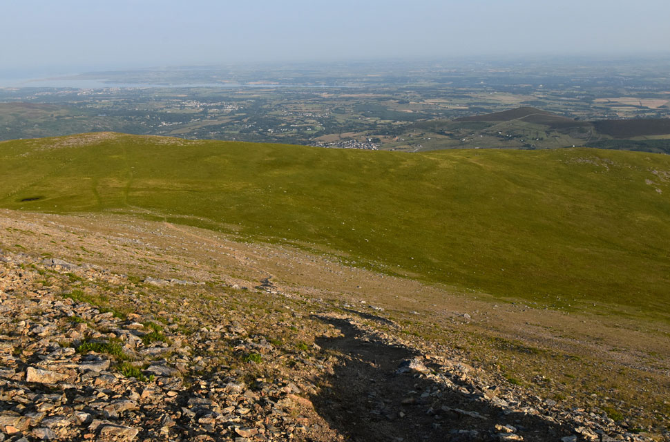 |
| Looking back down the path towards Elidir Fach, Bethesda village and the Menai Straight beyond. |
| From Elidir Fach I joined the path, passing through a herd of about forty feral Welsh mountain goats which are known to roam the area. In all my visits, today was the first time I'd seen them. |
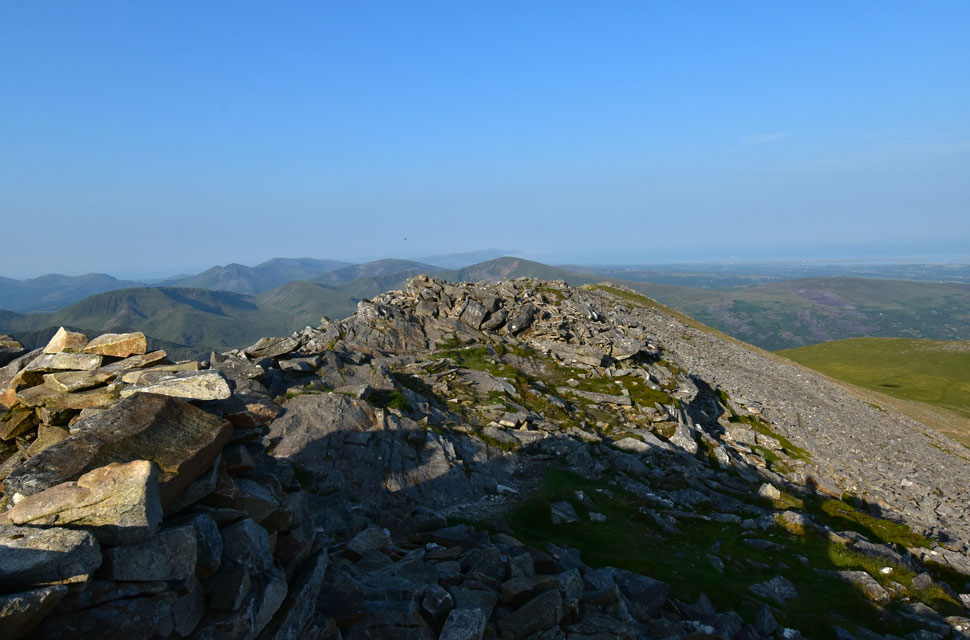 |
| Looking west along Elidir Fawr summit spine. |
The path rose steadily before steepening from shoulder to ridge, where I was met by a low buzzing sound. At first I thought my bite valve was letting air out, but after taking a sip and realising the noise didn't go away, I then checked my camera. What the hell is that? I asked myself. I shook it off and continued ascending over the shoulder, where I spotted a drone hovering about twenty feet above me, sounding like someone squeezing air out of a kids balloon. I continued my ascent and reached the summit ridge where Snowdon appeared just over four miles away through a bank of haze. In fact, the haze was hampering views much closer, with Foel-goch, Y Garn and Tryfan appearing silhouetted across the valley.
The sound of a boulder being dislodged made me turn around to see a couple descending with a grey Staffie from the summit, and we spent a few minutes chatting. The Staffie loved the attention I was giving it, but with the heat on the rise the couple were eager to get down, if only for the dog's sake. We parted, and after a few minutes of boulder-hopping I arrived at the summit, where I found a trio packing up their gear drone included. I honestly don't mind drones as long as their users respect other walkers and wildlife, and after joking about wanting royalties for being filmed, the guy got defensive and denied he'd recorded me. I was a bit taken aback, but figured there was no point arguing. He was probably more embarrassed that I'd brought the subject up or at least that's how it looked. |
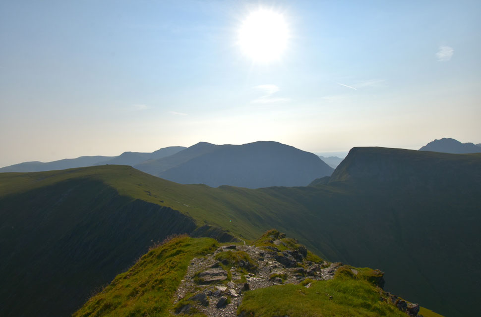 |
| Views over Mynydd Perfedd, Pen yr Ole Wen, Carnedd Dafydd, Carnedd Llewelyn, Yr Elen, Foel-goch and Tryfan. |
| I ended up descending the same way as the trio, but instead of continuing down the path they carried on along the summit crest, and by the time I arrived at the head of Bwlch y Marchlyn I'd put the episode behind me. The shorter version of the Marchlyn Mawr Round would cross Bwlch y Marchlyn below before ascending Mynydd Perfedd, seen to the left, but today I was extending the route to include Foel-goch (right) and Y Garn (out of shot). |
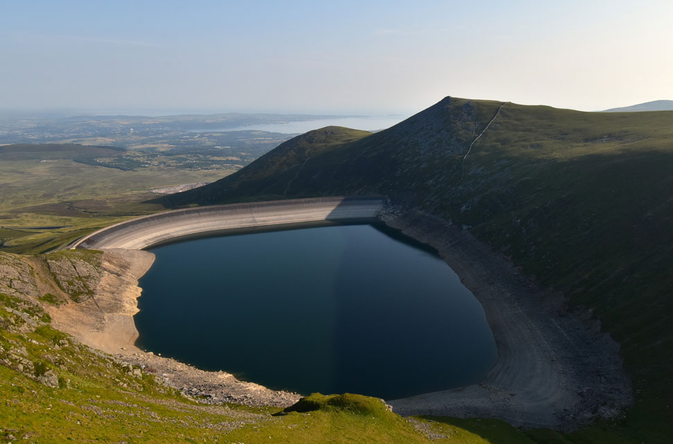 |
| Views over Marchlyn Mawr Reservoir towards Y Fronllwyd and Carnedd y Filliast. |
| That's probably the lowest I've ever seen the reservoir, which is no surprise given the run of heatwaves the UK is experiencing. |
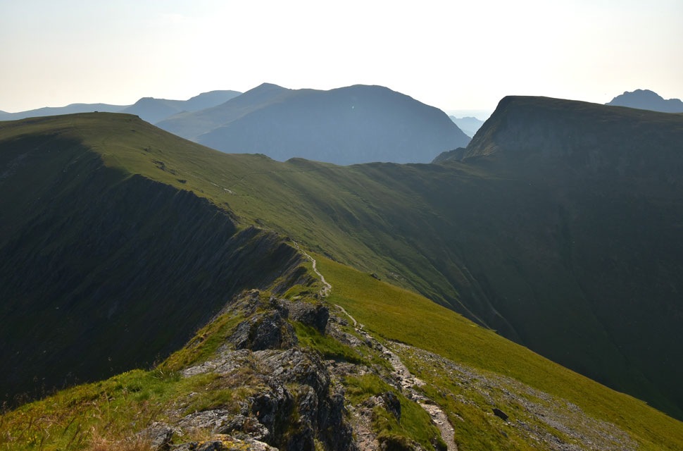 |
| Views from Bwlch y Marchlyn ridge towards ... |
| ...Mynydd Perfedd, Bwlch y Brecan, Foel-goch, Pen yr Ole Wen, Carnedd Dafydd, Carnedd Llewlyn and Yr Elen. |
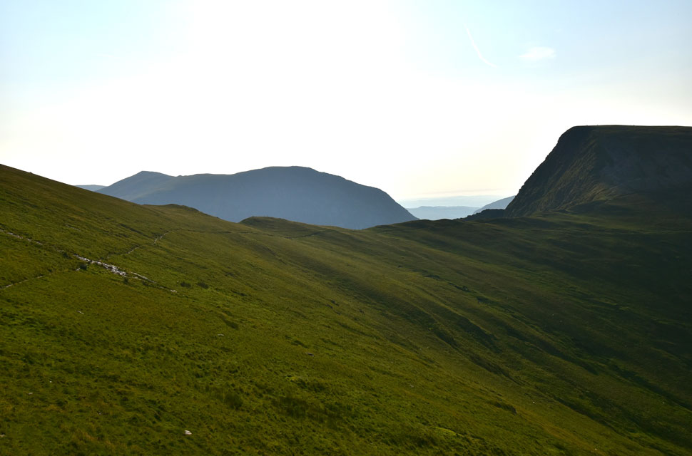 |
| Foel-goch, Pen yr Ole Wen and Carnedd Dafydd from Bwlch y Brecan. |
| Instead of gaining Foel-goch next I'm going to follow the head of the valley south towards Y Garn. |
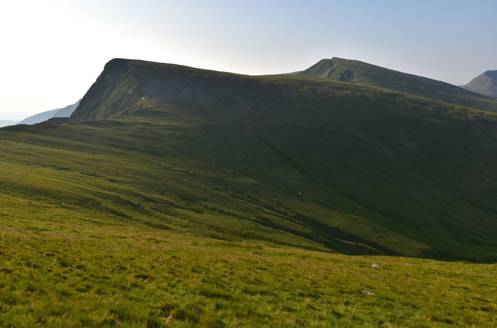 |
| Foel-goch and Y Garn from Blwch y Brecan. |
| The path passes below Foel-goch continuing south as far as Nant Peris but I'll head east once the slopes of Y Garn come into view. |
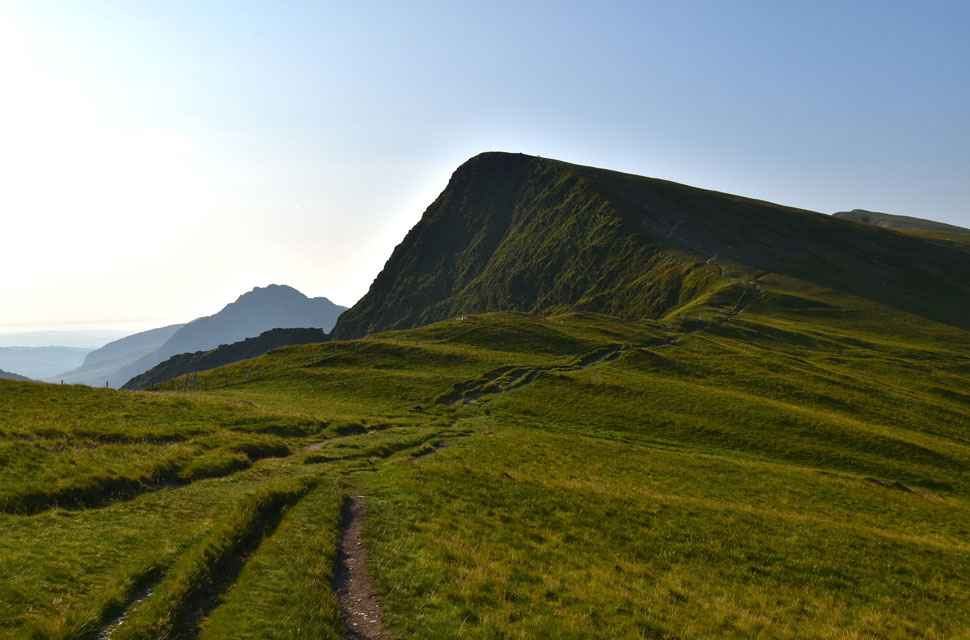 |
| Tryfan, Foel-goch and Y Garn from Blwch y Brecan. |
| With views of Tryfan and Foel-goch I can now lay off the gas and enjoy crossing the head of the valley as far as Y Garn seen far right. |
 |
| Looking back on Elidir Fawr and Bwlch y Marchlyn. |
| |
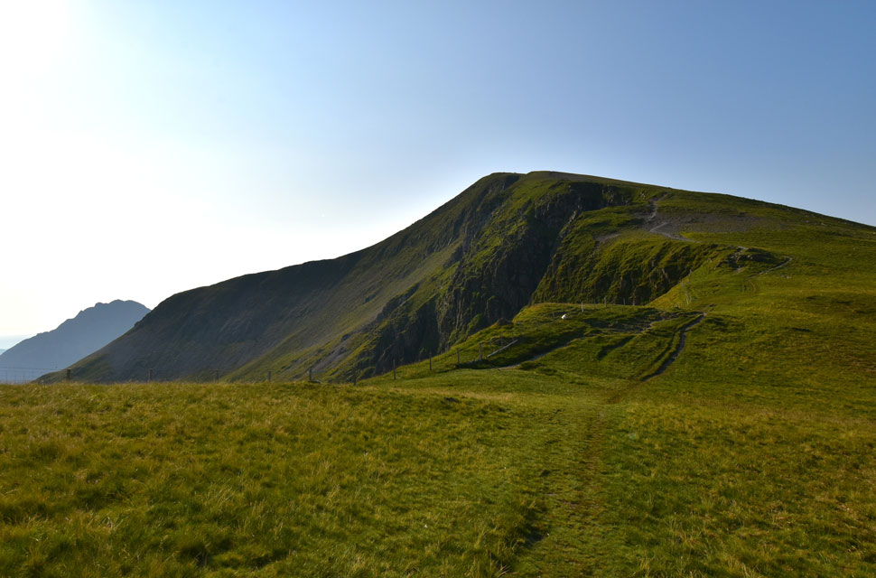 |
| Y Garn and Tryfan reappear. |
| I felt totally energised after crossing the head of the valley, passing a local farmer who appeared with his two sheepdogs out of the blue crook in one hand and a wave from the other. Ahead, a beautiful brown fell pony grazed among a herd of sheep, its mane as glossy as anything you'd see at a showground. The pony began to wander over, parting the sheep, until it realised I had no treats, then drifted down the hillside. That's Y Garn dead ahead, so I guess I'd better knock it down a gear. |
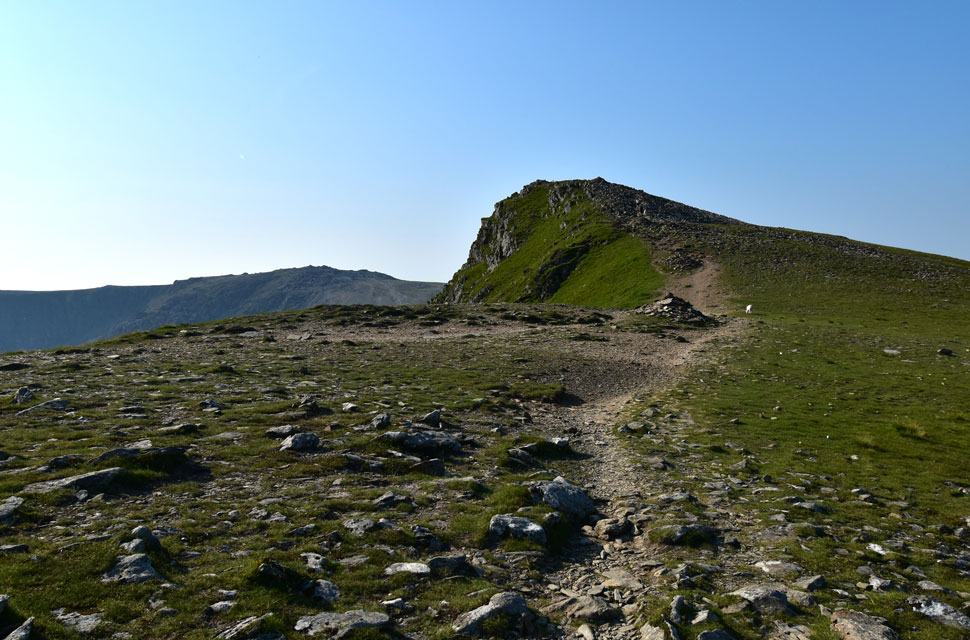 |
| Y Garn summit appears with Glyder Fawr beyond. |
| It's a steady crawl, with a false summit included that I'd forgotten about since my last visit. |
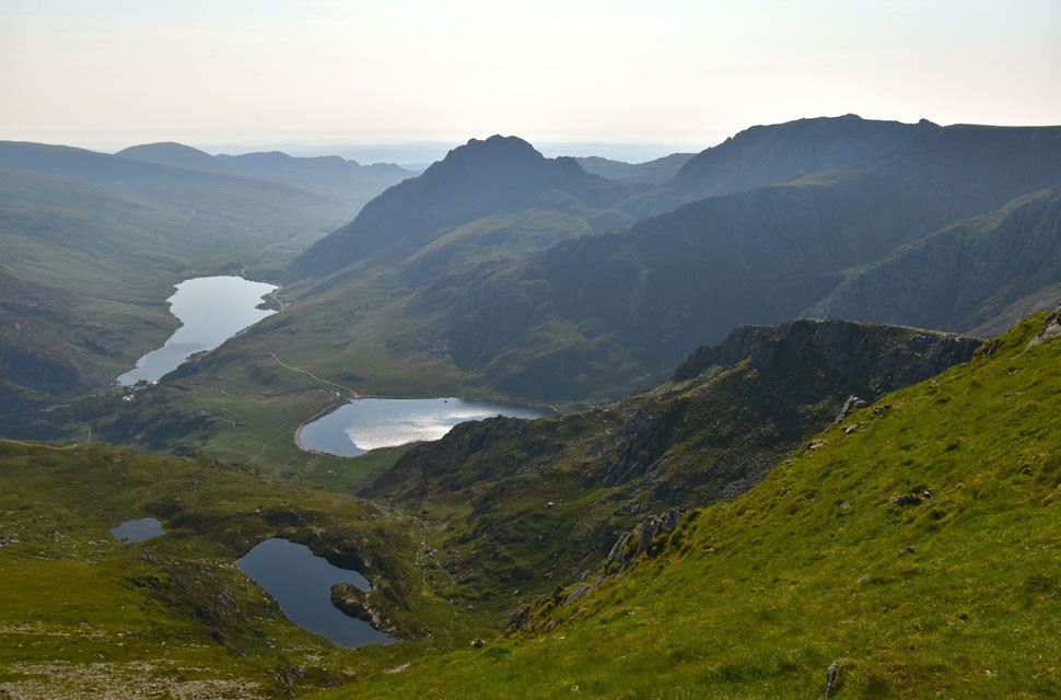 |
| Some of the best mountain scenery in the UK. |
| Which is of course, my own humble opinion. |
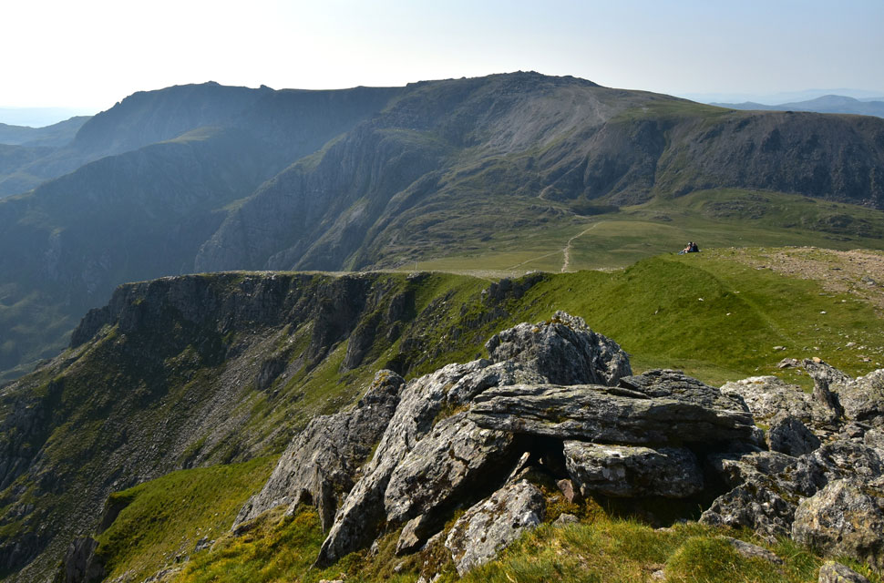 |
| Views beyond Castell y Geifr towards the Glyders, and the Y Gribin and Bristly Ridges |
| I soon arrived at the summit, found myself a nice boulder, and took in the incredible mountain scenery whilst polishing off my third Lucozade Sport of the morning. More and more walkers began to arrive, mostly from the direction of Idwal Cottage, but a few were ascending via the Devil's Kitchen route, which lies beyond Castell y Geifr ridge seen in the foreground. |
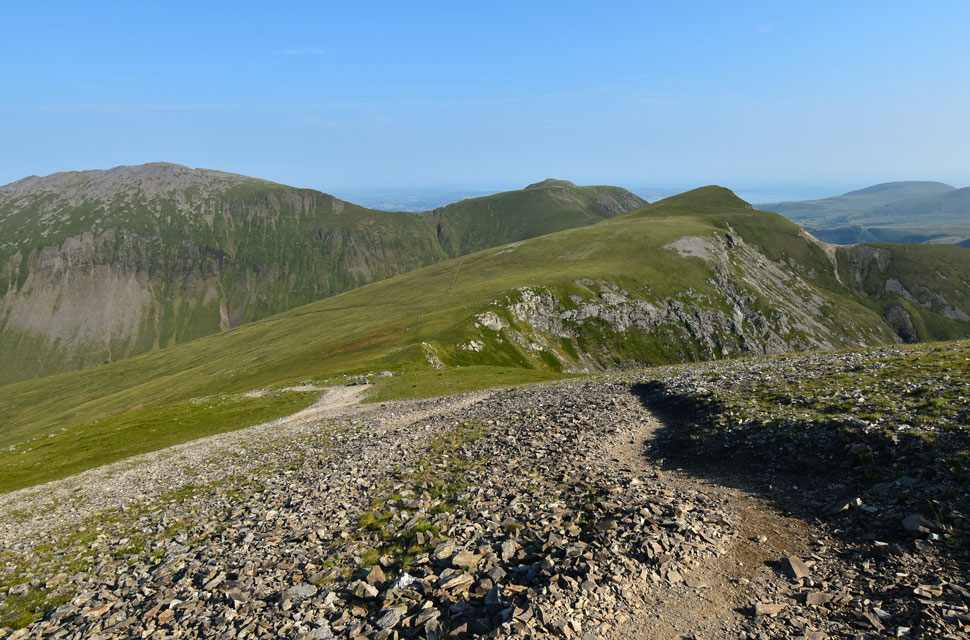 |
| Time to retrace my steps. |
| After packing the empty Lucozade bottle away, I turned heel and began to retrace my steps down Y Garn's north-west ridge. You might be able to spot the path I gained Y Garn from in the centre of the photo, but once I cross the col below I'll be heading right, picking up a grassy trod towards Foel-goch's summit. |
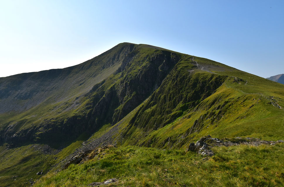 |
| Looking back on Y Garn. |
| I had followed a fellow walker during the descent of Y Garn who often stopped, presumably to check his position, and after seeing him do this three or four times I thought I might be able to help should I pass him. But the chap made it down before me and then began a pathless descent into the corrie below, which led me to believe one of two things: he was completely lost, or he knew exactly where he was going. I liked to think it was the latter. |
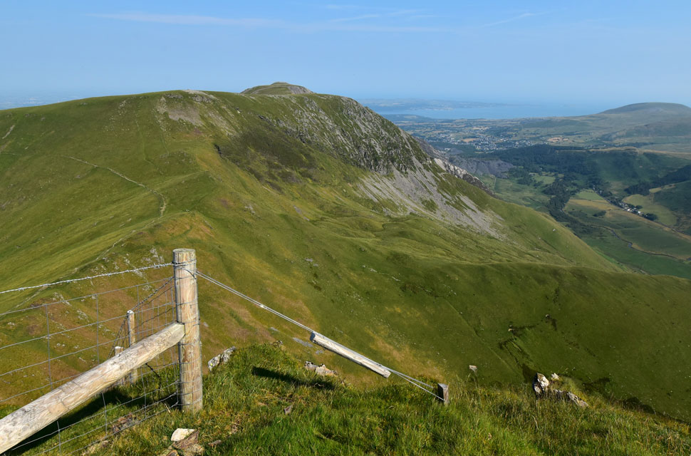 |
| Mynydd Perfedd and Carnedd y Filliast from Foel-goch summit. |
| Temperatures were climbing now confirmed by how much fluids I'd taken on and sweating it out as quickly as I could drink it. The good news was I had a kinda easy descent down Foel-goch's north-west flank, the not so good news was I needed to reserve some energy for ... |
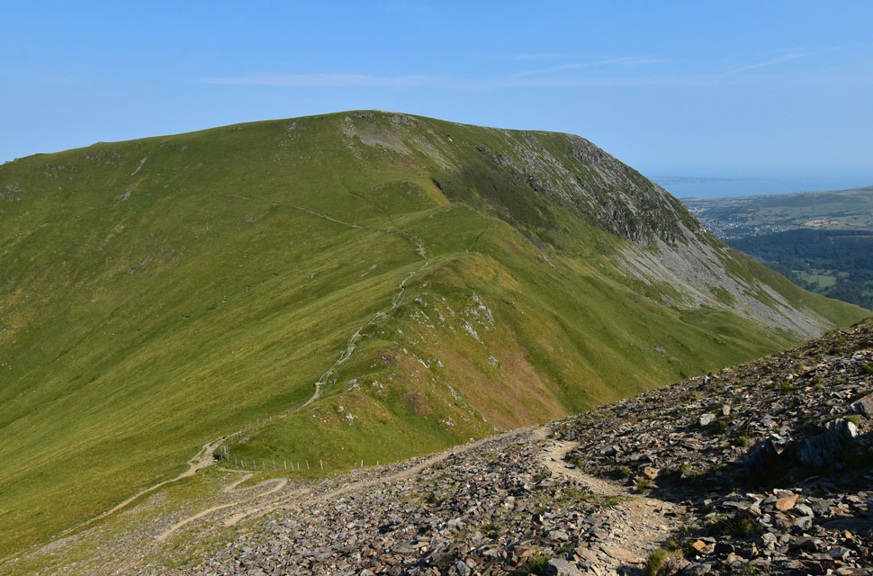 |
| Mynydd y Perfedd. |
| ...its only 350ft but she's steep and steady. |
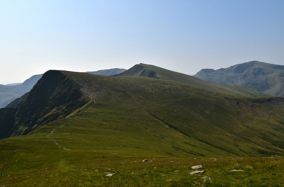 |
| Looking across Bwlch y Brecan towards Foel-goch and Y Garn. |
| With Crib Goch and Snowdon (Yr Wyddfa) seen right. |
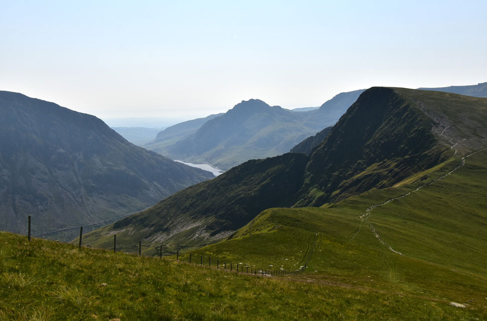 |
| Another favourite view from the ascent of Mynydd y Perfedd. |
| With Pen yr Ole Wen and Llyn Ogwen coming into view. |
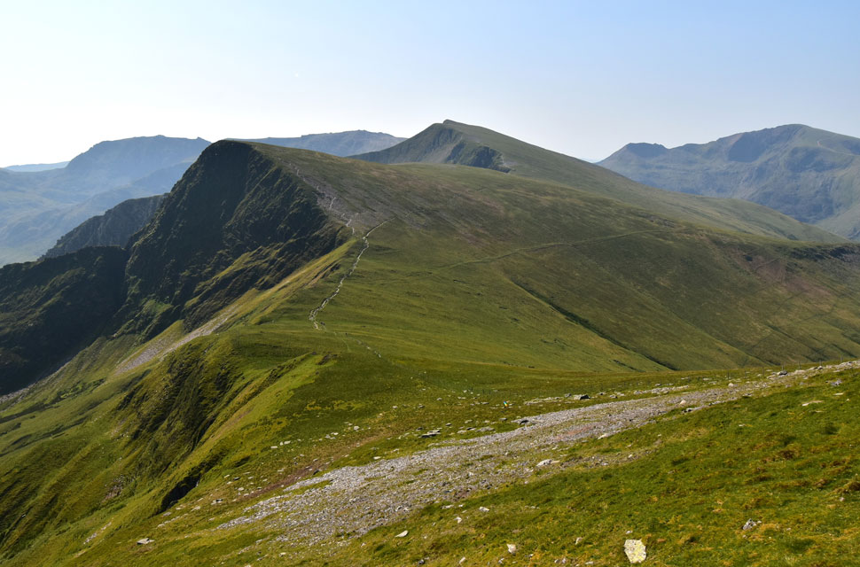 |
| Foel-goch and Y Garn. |
| I dug deep, not because I was tired, but because the humidity was so high there was no air for my lungs to take in. I persuaded my legs to put one foot in front of the other and stopped many a time to take in the incredible views of my previous two summits. |
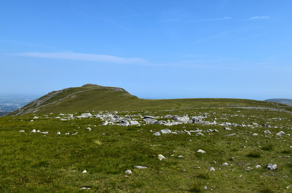 |
| Heading towards the last summit of the day... |
| ...Carnedd y Filliast. |
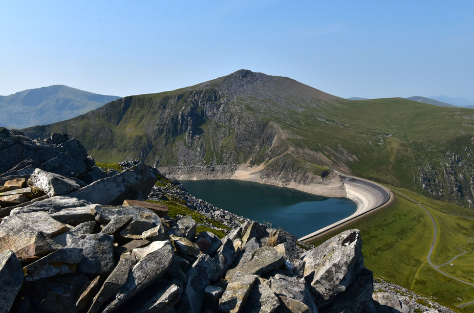 |
| Snowdon, Elidir Fawr, Elidir Fach and Marchlyn Mawr from Carnedd y Filliast summit. |
I stopped for a few moments once I reached Mynydd Perfedd's shoulder, taking in the views for one last time whilst a gentle breeze lapped at my pack's webbing. It was searing hot now, but I was pleased at how my body had coped much better than my previous heatwave walk, which I can only put down to preparation. That said, it didn't take away the constant heat or the relentless thirst which, surprisingly, did little to help. Still, it was important to keep taking on fluids even though it felt like they weren't doing much. I left Mynydd Perfedd summit around the same time two walkers arrived from the direction of Carnedd y Filiast.
By my reckoning it had been their first summit, but they looked a tad dishevelled not because they weren't fit enough, but because they'd set off too late and the heat was written across both their faces. I nodded a "morning" and got a vacant nod back; their expressions said it all. I continued towards Carnedd y Filiast and passed two young girls, light on their feet and chatting away the comparison between them and the two lads ten minutes earlier was unbelievable. It was still early, so I smiled a "morning" and got one back before crossing the wooden stile, from where Carnedd y Filiast shelter came into view. I spotted half a dozen walkers at the shelter. I crossed the summit plateau and boulder-hopped onto the summit just as the group left the shelter, heading towards the cairn. Nice timing… cheers lads, my eyes rolled. Turns out they were a really friendly bunch their ascents southern and all eager to spark up conversation, asking about my route and impressed with my early start.
The lads soon left and their voices fading into the distance before reappearing faintly at the stile. Other than the gentle breeze, it was silent. Silent mountains, silent sky, silent planes thousands of feet up, silent coast in the distance. I soaked it up until all I could hear was my laboured breathing, returning to normal. Wiping away the goo that had formed across my lips, I stood up and began the rocky descent reality returning with the click of a finger. Car windscreens glinted in the Ogwen Valley below while the surface of Llyn Ogwen shimmered in the heat. I began my descent down the dusty path, rocks rolling under boot, until I reached the grassy col dividing Carnedd y Filiast from Y Fronllwyd, from where the descent continued over cracked peat until I reached the tarmac track below. Two sheep were sheltering from the heat in a grassy overhang where a stream would normally flow, but the ground was bone-dry. My attention turned to their welfare, but they were fine, chewing the cud without a care. |
|
| |
| Back to top |
 |
|