|
High Street via The Ill Bell Ridge |
 |
 |
3rd January 2026 |
 |
|
|
| |
|
Overview |
|
|
| Ascent: |
3,334 Feet - 1,016 Metres |
| Wainwrights: |
5, Yoke - III Bell - Froswick - High Street - Thornthwaite Crag |
| Weather: |
Highs of 0°C Lows of -6°C Feels Like -14°C Average Wind Speed 27mph |
| Parking: |
Parking Spaces, Church Bridge, Troutbeck |
| Area: |
Far Eastern |
| Miles: |
12.8 |
| Walking With: |
On My Own |
| Ordnance Survey: |
OL5 |
| Time Taken: |
6 Hours |
| Route: |
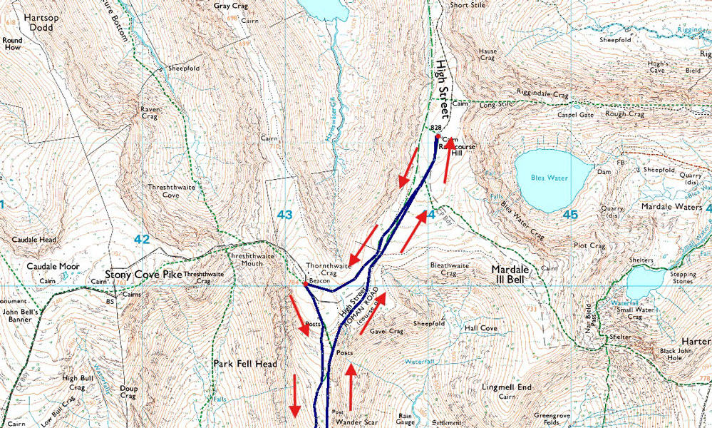
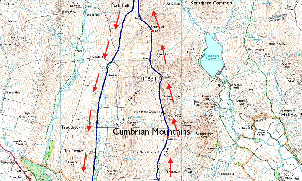
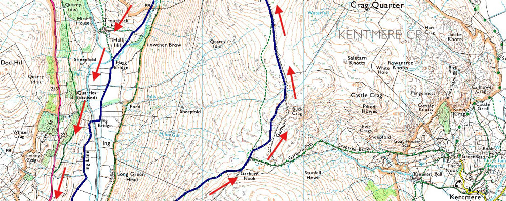
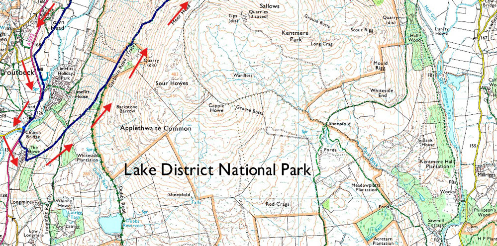
Church Bridge - Garburn Pass - Top of Garburn Pass - Yoke - III Bell - Froswick - High Street - Thornthwaite Crag - Scot Rake - Hagg Gill - Hagg Bridge - Ing Bridge - Ing Lane - Truss Lane - A592 - Troutbeck - Jesus Church - Church Bridge |
|
| |
|
Parking Details and Map |
|
|
| Nearest Post Code: |
LA23 1PE |
| Grid Reference: |
NY 412 202 |
| Notes: |
The parking spaces at Church Bridge can be found between Jesus Church and Church Bridge, if travelling from the A592 the car park will appear on the left immediately after crossing Church Bridge. This is a small car park popular with walks around Troutbeck or the higher fells of the III Bell ridge meaning availability can be tight during peak seasons. Parking is free. |
|
| |
|
Map and Photo Gallery |
|
|
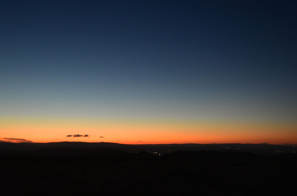 |
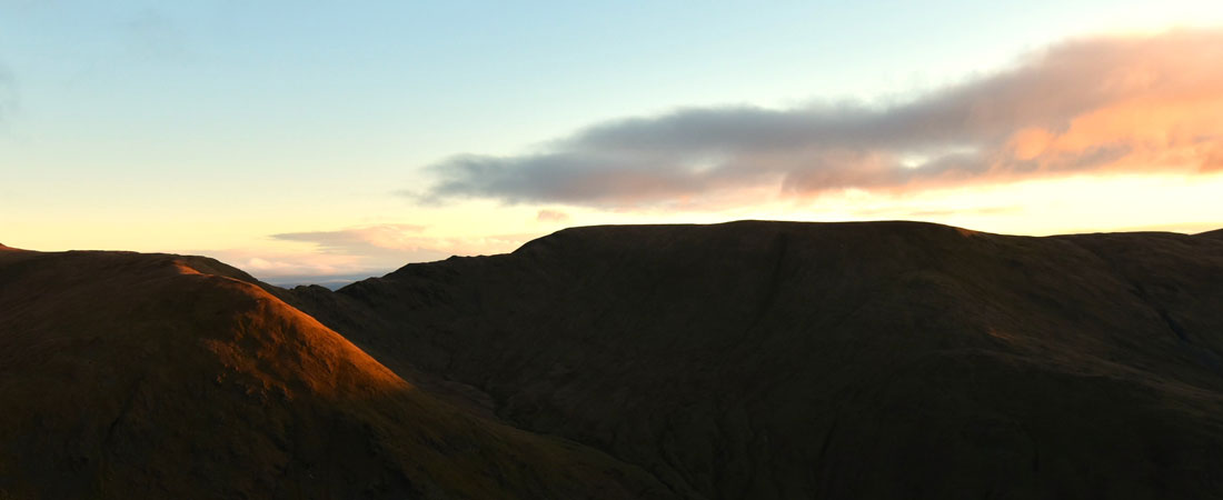
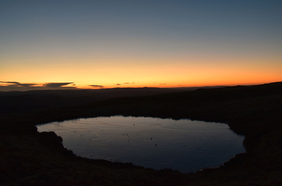
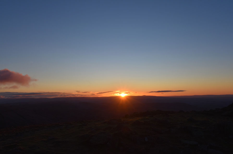
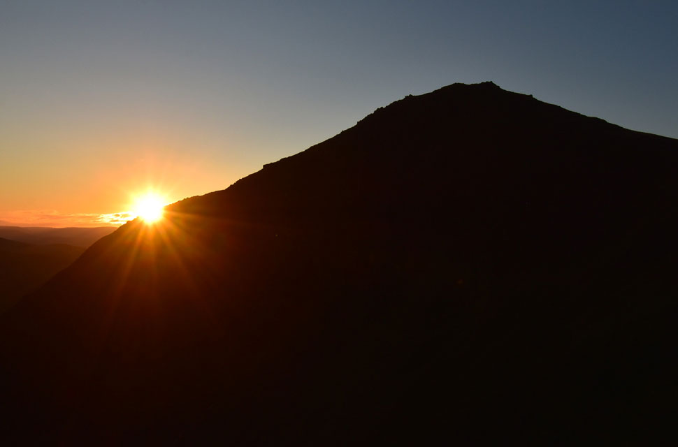
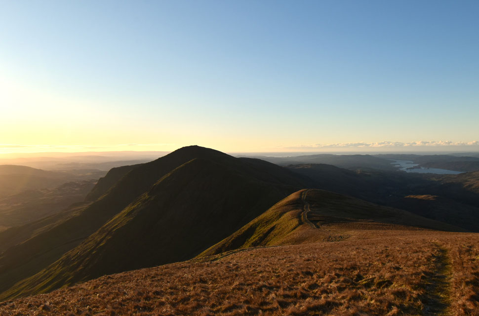
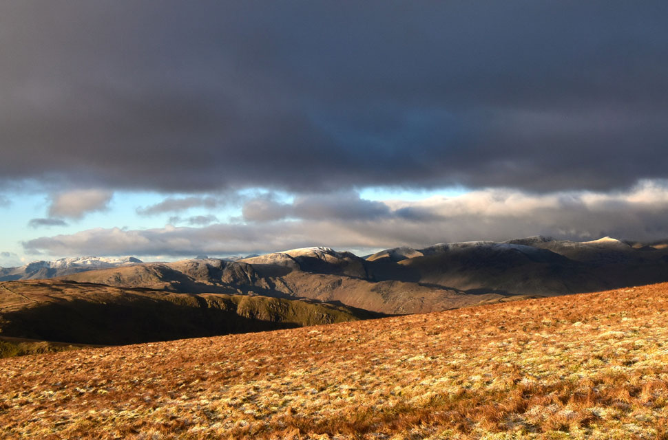
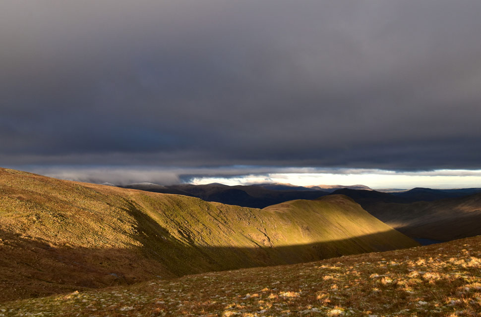
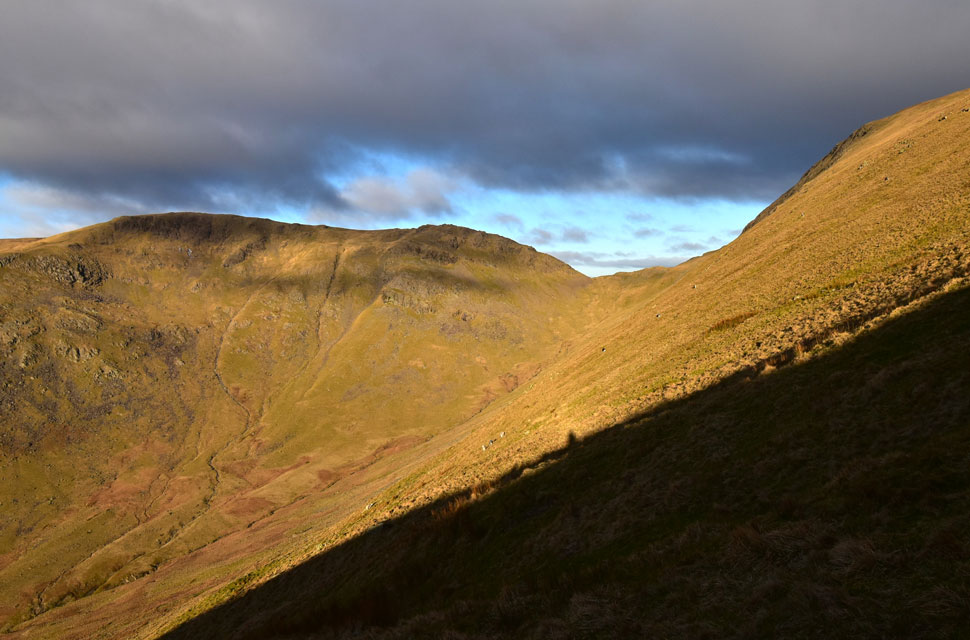
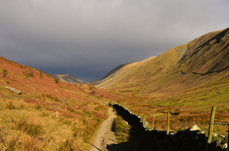
| Predawn views from the top of Garburn Pass above Kentmere 7:37am -6°C |
The run of winter sunshine for Cumbria and indeed much of the country continues into the New Year, bringing with it cold conditions and wintery hazards, and anyone venturing onto the high fells is to expect strong winds and exposure to prolonged windchill, a small price to pay if you ask me if these are the types of views we are to expect. It had been an earlier-than-early alarm for me, leaving home at 4:20am, which saw me arrive at Troutbeck Bridge at 6:00am, where, would you believe, I grabbed the last parking spot, the rest taken up by camper vans and someone who'd decided to sleep in their car. The reason for the early start is today's walk is quite a biggie, covering nearly thirteen miles, which is unusual for January, but with present conditions I intend to make the most of them. I knew after the early start, and after two and a half hours of ascent I'd probably capture the sunrise from somewhere along the III Bell ridge; the trouble was I had no idea where. Still not quite believing I'd grabbed the last parking spot at such an ungodly hour, I began to kit up, the silence of the morning disturbed by Trout Beck and the wind gusting through the branches of the surrounding woodland. I prayed that the forecasters had got it right predicting wind at valley level around 23 mph and across the summits at 600 meters between 24mph and 37mph, a far cry from the gale-force winds I'd experienced on Skiddaw last weekend.
To get away quickly I put my boots back home, so all I had to do was layer up, add my windproof jacket and shoulder my pack. With my car locked at exactly 6:08am, I passed the camper vans, followed by whoever was asleep under the duvet on the passenger seat of their car, before turning right and crossing the bridge over Trout Beck towards the Troutbeck side of the Garburn Pass (track) My body wasn't feeling it straight away, huffing and puffing minutes into the ascent, but I soon found my groove after passing through the first gate, which was joined onto a lovely cottage whose security light found me as I passed through. The track veered left and continued to rise before I broke away from the woodland, from where views unfolded over Troutbeck illuminated by the Wolf Moon, which shone down like a giant torch. No matter how much I faffed about with my camera, all the photos I'd taken were blurry; the light from the moon was so intense I figured the only way I'd get the perfect shot was to start changing the camera's settings, and I wasn't about to do that in gloved hands and freezing temperatures. It was two and a half hours before sunrise, and I could have actually turned my head torch off due to the light from the moon. It wasn't exactly lighting up the track, but further afield I had no problem finding the contours of the Ill Bell ridge and surrounding summits, but I kept the head torch tilted downwards so I could navigate over the rock-strewn track. Naturally the wind speed started to increase with height gained, and by the time I'd reached a coppice of pines below Garburn Nook, my mind went into overdrive due to the gust blowing through the branches. I started to come up with a plan B should the wind become too much, so I came up with Sour Howes and Sallows and tucked it into the back of my mind. I reached the top of Garburn Pass the pines, and my plan B now forgotten because I already committed right there. Ahead I could define the silhouette of Yoke, and to the east, the slightest crack of deep orange on the low horizon. |
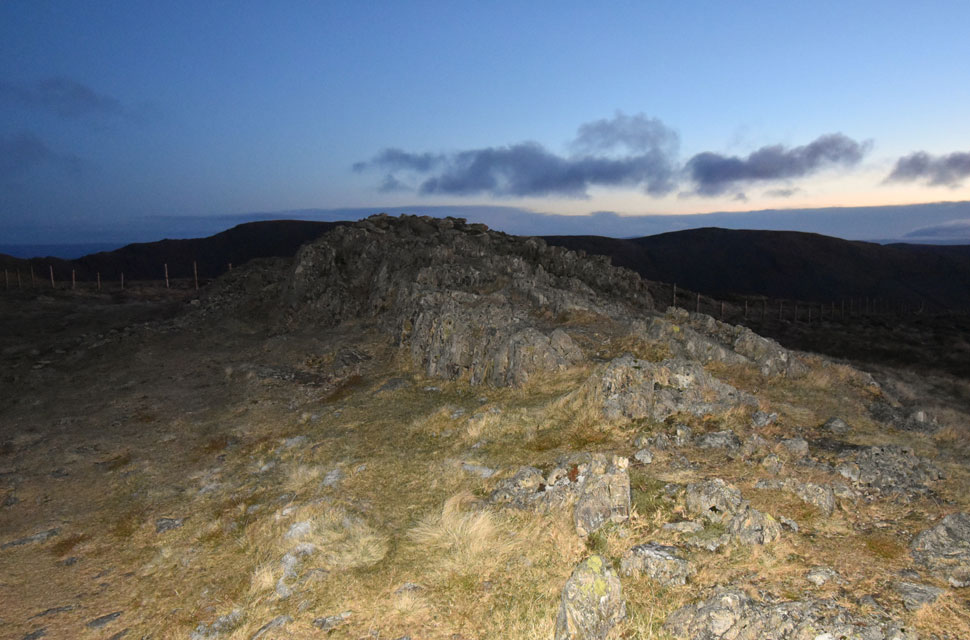 |
| Yoke summit with Harter Fell (Mardale) and Kentmere Pike beyond 8:03am |
After crossing the top of Garburn Pass, I continued north, detouring around the iced puddles, which was a tad frustrating when you're wearing a head torch, as all you can see is a thirty-foot arc of light directly in front of you. The path levelled as I passed Buck Crag to my right, where beyond the horizon was starting to turn a deeper orange, but with the wind and subsequent windchill ramping up, I didn't bother to admire the views; instead, I concentrated on reaching Yoke summit. I got stuck into the ascent, and from the summit shoulder, I turned back for a quick rest and to see what views were unfolding. The oranges, yellows and reds were intertwining, mellowing into one colour, while below I spotted four head torches, one from a fell runner who was gaining ground on me and three from a trio of walkers who were walking towards Yoke having reached the top of Garburn Pass from the Kentmere side.
I turned around and continued my ascent, following the grooved staircase over the shoulder, and after eighty or so yards ahead, the summit cairn came into view. I realise that I had been ascending in top gear, arriving at the summit minus quite a few photos that I should have stopped to take and out of breath. I was overheating, and I decided to organise my clothing and hat, which were skew-whiff and all over the place. Stopping for less than a minute at the cairns saw me go from overheating to freezing, but at least I felt and looked presentable again. I turned around to see the fell runner's dog at the top of the grooved staircase, and the only sign of the fell runner was his head torch bopping from left to right. I'd had my summit time, and he or she deserved theirs, so I moved on. |
 |
| Dawn arriving at Yoke 8:05am |
| Frozen pool found north of Yoke summit. |
 |
| III Bell seen beyond Rainsborrow Cove with Thornthwaite Crag, High Street and Mardale III Bell 8:08am |
| Shortly after taking this photo I switched my head torch off and wondered if I'd be able to ascend III Bell before sunrise at 8:33am |
 |
| Arriving at III Bell with minutes to spare before sunrise 8:24am |
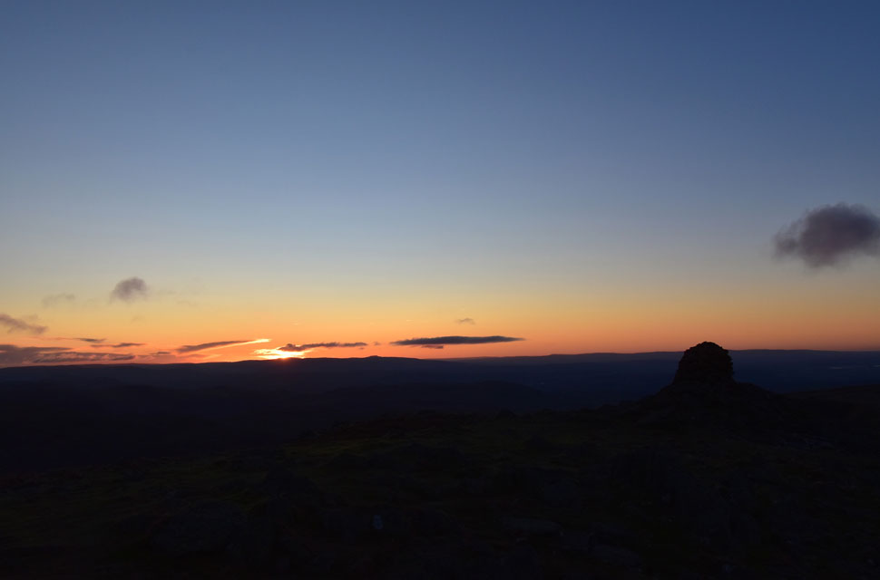
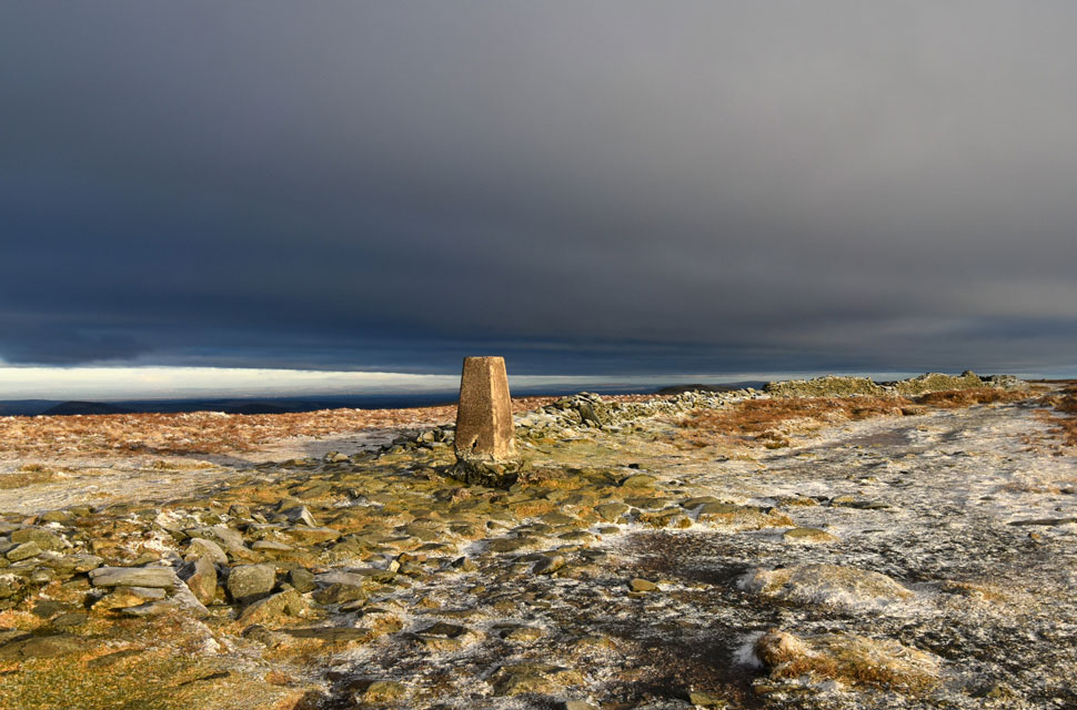
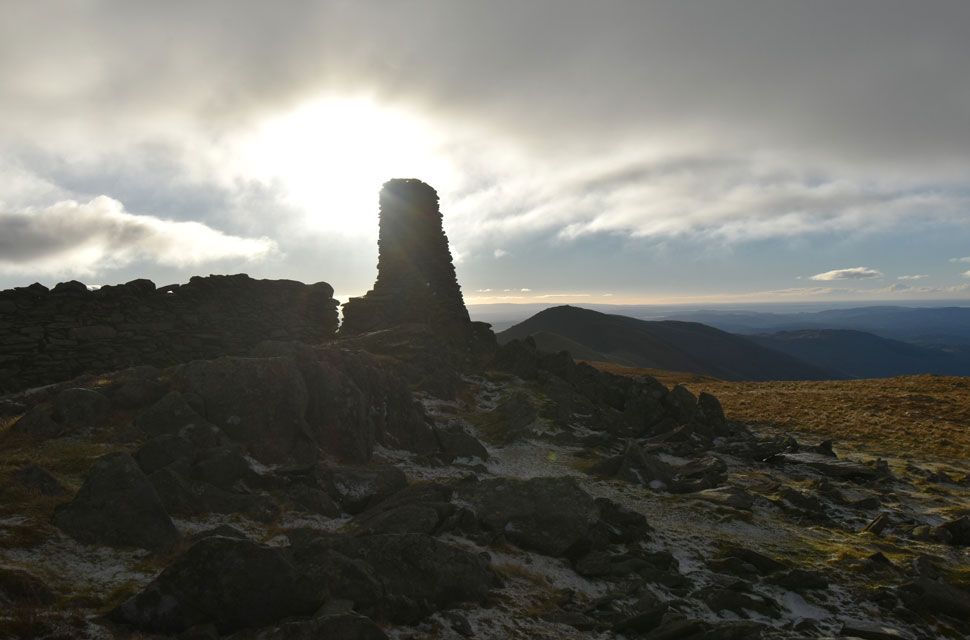
I managed to summit III Bell with plenty of time to spare; the trouble was it was blowing a hooley with the windchill dial switched to severe. Hanging around for nine minutes wasn't an option until I found shelter behind the most northerly stone pillar. One of two pillars that remain on the summit; the third pillar collapsed some years ago due to weathering and erosion.
I now had shelter, and with my back to the stone pillar, I deshouldered my pack and removed my mini flask for one or two piping hot cups of summer fruits. The wind was howling around the pillar, and with it came a strange comfort that I was fully protected and I had a hot drink inside of me. A minute or so later and the sun rise started to appear. |
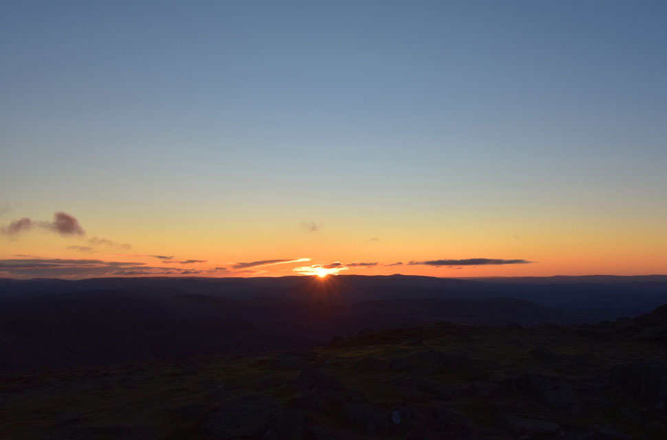 |
| Sunrise 8:33am |
| What a fantastic sunrise and well worth the wait. Those with a keen eye might be able to spot Ingleborough in the Yorkshire Dales to the right. |
 |
| III Bell sunrise 8:36am |
| |
 |
| First light over Snarker Pike and Red Screes. |
| With the snow capped summits of the Langdale Pikes and Bow Fell group beyond. |
 |
| First light reaches the Kentmere valley. |
| Seen here on Lingmell End with the top of Nan Bield Pass seen left and Harter Fell right. |
 |
| Ascent on Froswick. |
| I began my descent from III Bell in strong winds and nose-emptying windchill, but these calmed as I reached the col linking the two summits due to the shelter the bulk of Froswick provided. |
 |
| Looking back on a silhouetted III Bell. |
| Other than the fell runner and the trio of head torches I'd seen from Yoke summit, I hadn't passed anyone until two fell runners appeared from Froswick summit, where a 'morning' was shared. |
 |
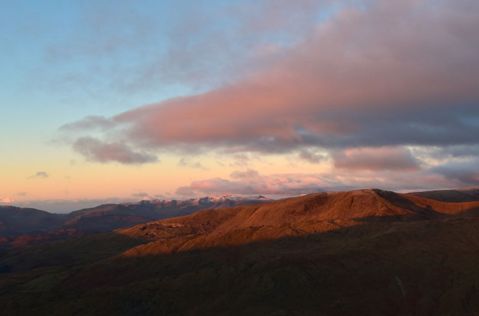
| Caudale Moor, Stony Cove Pike, Thresthwaite Mouth, Ullswater and Thornthwaite Crag from Froswick. |
| I've done a little research on the causes of the crisp light which occurs straight after sunrise which is more common over mountainous areas due to cold and dry air. With less water vapour and fewer moisture droplets, light travels through the atmosphere with minimal scattering and diffusion, and the result is crisper illumination that sharpens textures and deepens shadows. |
 |
| Stony Cove Pike, Thresthwaite Mouth and Thornthwaite Crag from Froswick. |
| No camera trickery here, just magical light from someone who is willing to get up at a daft hour to witness a few moments of mountain magic. |
 |
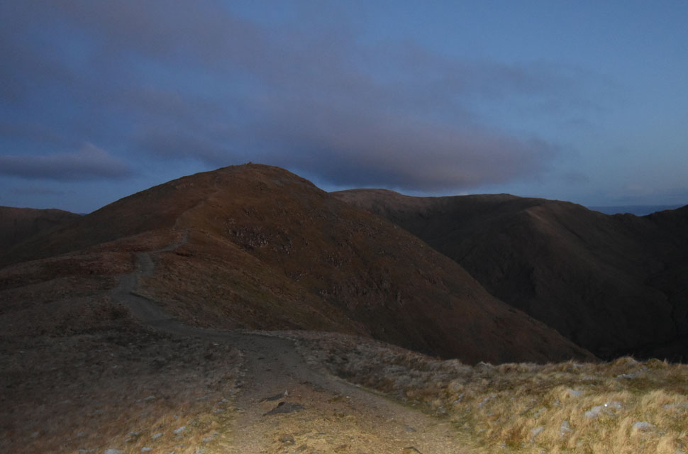
| Ascent on Thornthwaite Crag. |
| Thornthwaite Crag ahead would appear to be my next summit but from the shoulder I'll veer north easterly across the top of Hall Cove towards High Street. |
 |
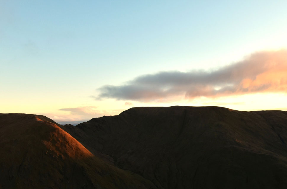
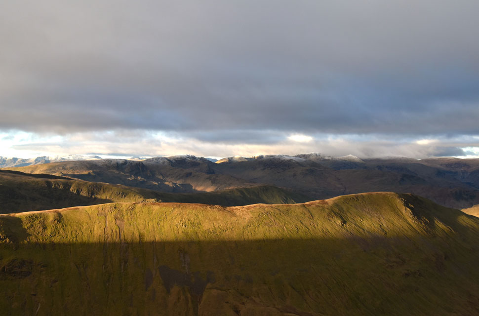
| Looking back on Froswick, III Bell and Yoke. |
| I began my ascent on Thornthwaite Crag as far as the old fence post (below and out of shot), where one path navigates around the head of Hall Cove, but I continue a little further until a second trod is reached. |
 |
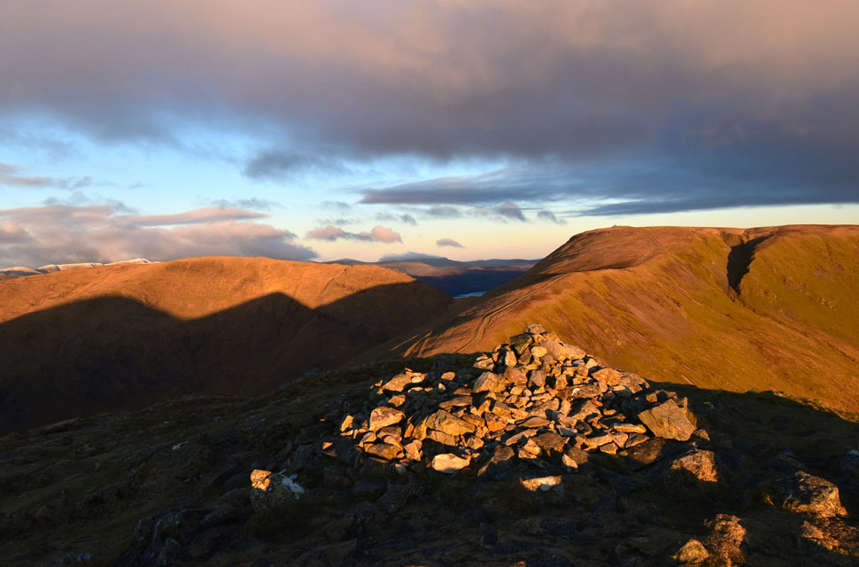
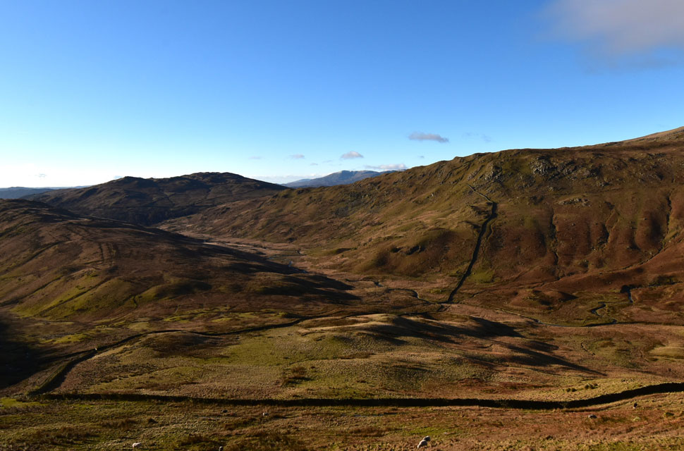
| High Street, Kidsty Pike, Rampsgill Head, High Raise (Martindale) and The Knott. |
| Veering away from the top of Hall Cove, I crossed the frozen grassy plateau while remembering the last time I was here I was with David back in December 2024. Back then I was as chilled as I am today, the difference being we were down to zero visibility in freezing fog. It was a fond memory from a series of walks we did leading up to completing fifty summits of High Street before the end of 2024. |
 |
| Views East I as look towards the snow capped Helvellyn range. |
| Just needs a few cracks of lighting and it will be looking like Mordor over there. |
 |
| Dark skies over High Street. |
| I decided to ascend to the right of the stone wall whilst wondering how long this sunlight I have left. |
 |
| More views West towards the Helvellyn range. |
| With Gray Crag, Hartsop above How and St Sunday Crag seen centre and right. |
 |
| High Street summit. |
| I'd seen two walkers from afar on Mardale III Bell summit and half expected to see them on High Street, as we were roughly the same distance away, but I arrived to find the summit to myself with some rather dark cloud looming in the distance. |
 |
| Views over Gray Crag ... |
| ... towards High Hartsop Dodd, Dove Crag, Hart Crag, Hartsop above How, St Sunday Crag, Birks, Dollywagon Pike, Nethermost Pike, Helvellyn and Catstye Cam. The summits below the cloud far right are Lower Man, White Side and Raise. |
 |
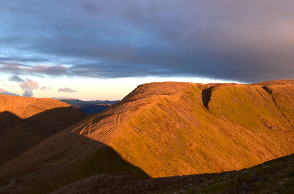
| On track towards Thornthwaite Crag. |
| With Caudale Moor and Red Screes beyond. |
 |
| Another view of Gray Crag. |
| It could rain, hail snow any minute, it's anyones guess. |
 |
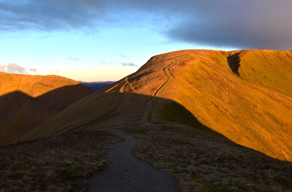
| Sunshine from Thornthwaite Crag. |
| I left High Street behind and crossed the top of Hayeswater Gill, where for only the second time today I saw the trio of walkers who must be the same trio I'd seen back on Yoke. They'd just come from the direction of Thornthwaite Crag, and all three were wearing ski goggles. A bit extreme, you might ask? Well, not really. On paper it might appear so, but in reality no, the wind was at its peak, and so too was the windchill, so any comfort that takes that away is a bonus. |
 |
| Looking back on Thornthwaite Crag. |
| Enjoying the slighty warm burst of sunshine. |
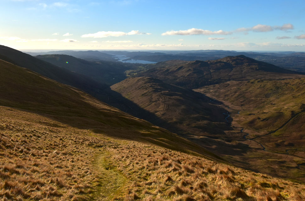 |
| Descending Scot Rake into the Troutbeck Valley with views of The Tongue, Baystones, Wansfell Pike and Windermere. |
| With Thornthwaite Crag behind me I descended back towards the old fence post from where I veered right onto Scot Rake and the Troutbeck Valley. |
 |
| Looking back on Caudale Moor, Stony Cove Pike, Threshthwaite Mouth and Thornthwaite Crag. |
| With frost underfoot, I began my descent by Scot Rake, taking in the views back over Thesthwaite Mouth and over Troutbeck Valley. It was whilst descending Scot Rake that I passed two walkers followed by a solo walker and his dog. I'd seen just as many walkers in ten minutes during my descent as I had during four hours on the fell, and there were plenty more to come. |
 |
| Views over Troutbeck towards Doup Crag on Stony Cove Pike. |
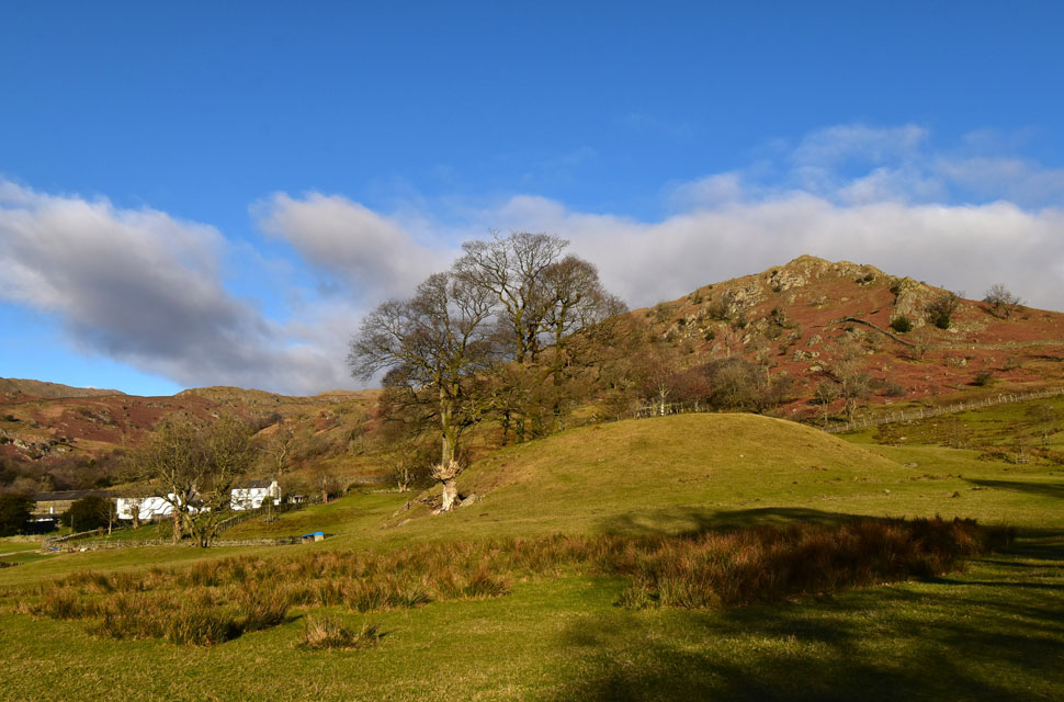
| Another walk I did with David back in June of 2025 was Stony Cove Pike via Doup Crag, seen at the north of the stone wall. Even gaining the ridge back at High Great Knott wasn't easy, having to negotiate pathless ridges, chest-high bracken and a number of stone walls, but what can I say? 'What a wild area of Lakeland' that feels more secluded than it actually is. |
 |
| Troutbeck from Park Fell. |
| Just in case you're interested that's High Great Knott seen centre right where the wall climbs over its summit and to access it we gained Low Great Knott at seen at the end of the sloping ridge. |
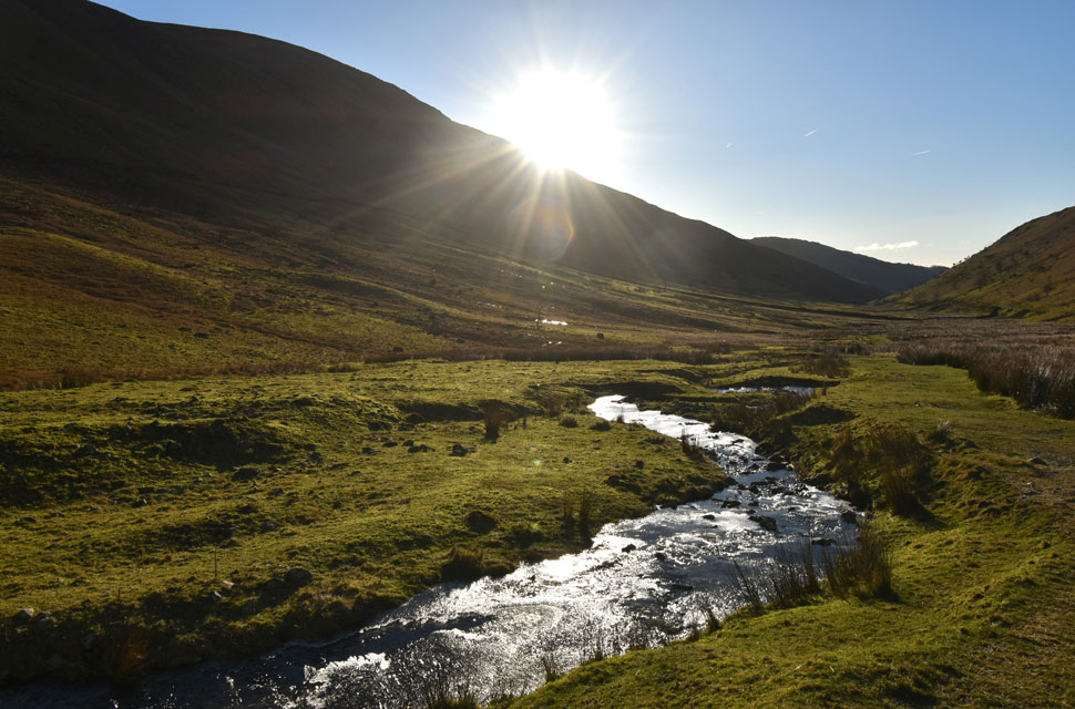 |
| Sunlit views from a semi frozen Hagg Gill in the Troutbeck Valley. |
Ice covered the lower reaches of Scot Rake, and on more than one occasion I had to resort to the rough fell side to get around until I reached a long frozen grass ramp which descended to a gate alongside a sluth at Blue Gill. With less than six feet until I reached the gate, my left boot rolled across the top of a small rock, knocking me off balance, and to counter it, I landed awkwardly, causing a muscle spasm in my left calf, the same kind of spasm you get when you're lying in bed at night and suddenly find yourself on the bedroom ceiling.
I screamed like a six-year-old, followed by a one-legged whince. Such was the contraction of the muscle; my calf had raised itself to the back of my knee and as quickly as it happened, the muscle eased and my calf dropped and I was able, quite painfully to continue. |
 |
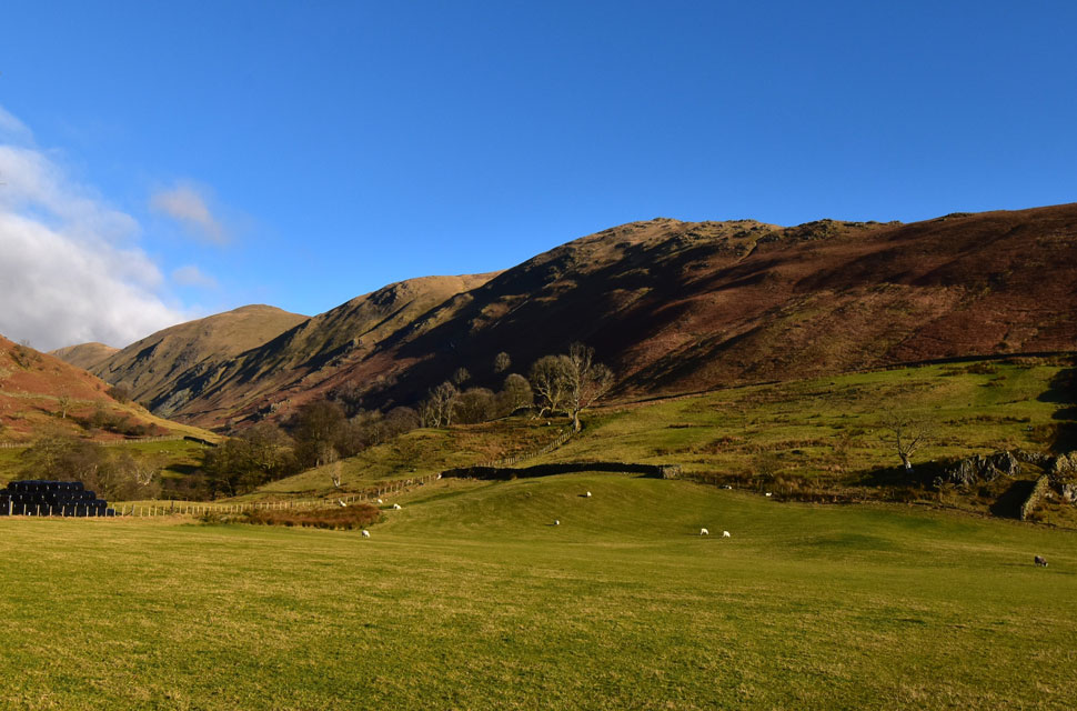
| Views back through Troutbeck towards Stony Cove Pike, Thresthwaite Mouth and Thornthwaite Crag. |
| Those contrasting skies are still looking like they're about to dump a whole load of snow but it was quite the opposite. |
 |
| The Tongue and Troutbeck Park Farm from Hall Hill, Troutbeck. |
| |
 |
| Looking back on Thornthwaite Crag, Froswick, III Bell and Yoke from the Troutbeck valley. |
Despite the aching feet, this was a walk that I didn't want to end, not after experiencing such perfect conditions whilst including High Street in my first walk of 2026. The sun beamed down, and it was an absolute delight to follow Hagg Gill by its frozen riverbank whilst grazing sheep looked on; it was a surreal, poetic few moments. Eventually Hagg Gill continued its flow through the valley whilst I joined the frozen footpath on the east flank of The Tongue, passing more walkers heading into the valley, barely able to lift my head up due to the sun glare to trade a 'morning', squinting anyway. The valley dropped away now as I rounded The Tongue's summit, where I was surprised to count no less than eleven in ascent and two in descent, and more were on their way from Hagg Bridge below. Passing two families, I descended Hall Hill, where I stopped to see if I could see the landslip above Troutbeck Park Farm that has closed Kirkstone Pass, but there was so much woodland I was unable to get a clear view. I crossed Hagg Bridge, at which point my feet thanked me for the smooth tarmac underfoot, and began my walk through the Troutbeck valley proper.
To my right, a trio who appeared to be tourists had let three spaniels go into a nearby field. I wouldn't have minded but they'd opened a farmer's gate to do it, and although the field was empty they had no right to do it. I continued with the sun glaring down when I spotted a pile of hay bales wrapped in plastic sheeting at the top of Ing Lane still and where still a good twenty minutes away. I passed more and more folk heading into the valley and stepped aside at one point to let the farmers Pick-Up pass and I wondered if he'd find the folk who let their dogs run in one of his fields. Truss Lane arrived, and from above it I spotted the odd car through the trees on Kirkstone Pass. I joined Truss Lane and passed a girl in her mid-twenties where a 'Hi' was shared. The lane rose, and I found myself using my poles to help with the incline. My calves ached and were relieved to reach the wooden gate through which I'd pass that straddles the A592 as far as Limefitt Holiday Park. I was astonished to find how many cars were parked on the roadside – dozens and dozens of them stretching a good hundred yards back up the road – and yet despite this, there was hardly anyone about. Squeezing past the parked cars I passed Jesus Church and turned right onto the car park expecting to see chaos but there was two empty spaces at the side of my car so I decided to eat lunch while I defrosted, the cars heater set to full blast. |
|
| |
| Back to top |
 |
|