Walla Crag to Grange Fell via Watendlath

6th December 2025


Overview
Ascent: 1,840 Feet - 560 Metres
Wainwrights: 2, Walla Crag - Grange Fell
Weather: Persistant Rain & Drizzle Below Extensive Cloud Highs of 8°C Lows of 7°C
Parking Using x2 Cars: Parking Spaces, Castlerigg Farm - Grange Village
Area: Central & North Western
Miles: 8.5
Walking With: David Hall
Ordnance Survey: OL4
Time Taken: 5 Hours 15 Minutes
Route: Castlerigg Farm - Rakefoot - Walla Crag - Top of Cat Gill - Falcon Crag - Ashness Bridge - Ashness Wood - Surprise View - Watendlath - Watendlath Tarn - Puddingstone Bank - Grange Fell - Puddingstone Bank - Frith Wood - Red Brow - B5289 - The Bowder Stone - Quayfoot Quarry - B5289 - Grange
 

Parking Details and Map Castlerigg Farm
Nearest Post Code: CA12 4TE
Grid Reference: NY 283 222


Parking Details and Map Grange Village
Nearest Post Code: CA12 5XA
Grid Reference: NY 253 417


Map and Photo Gallery


Heading towards Castlerigg Farm, Rakefoot 7:15am 8°C

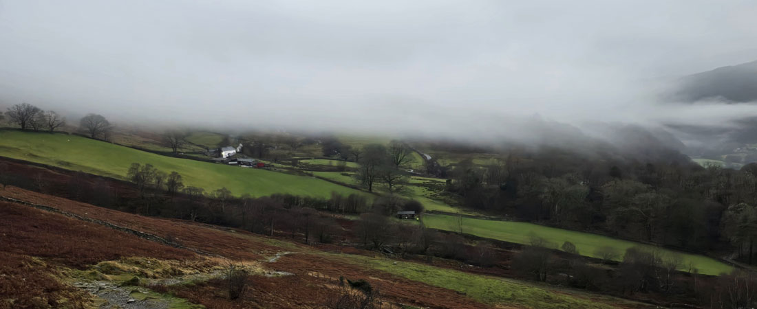
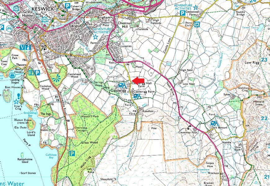
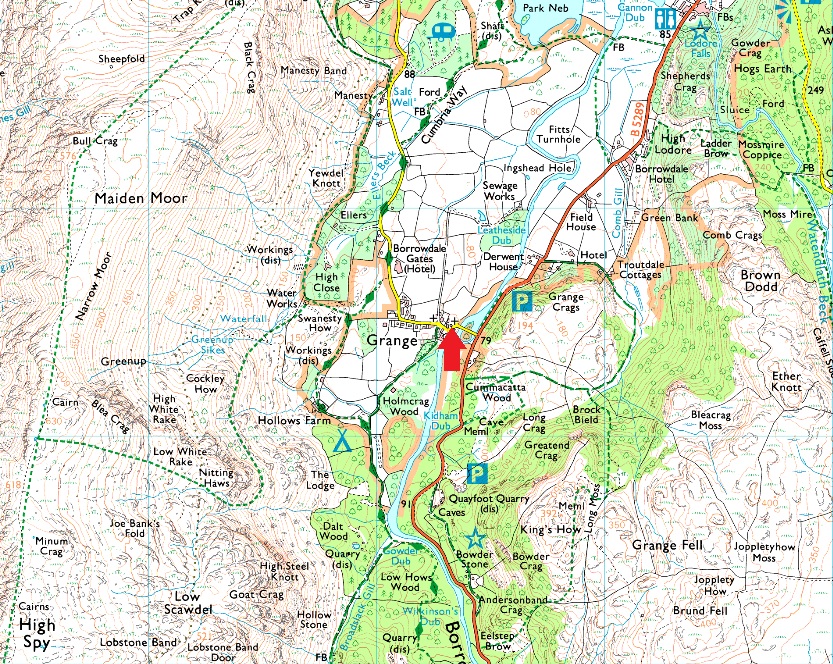
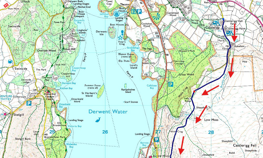
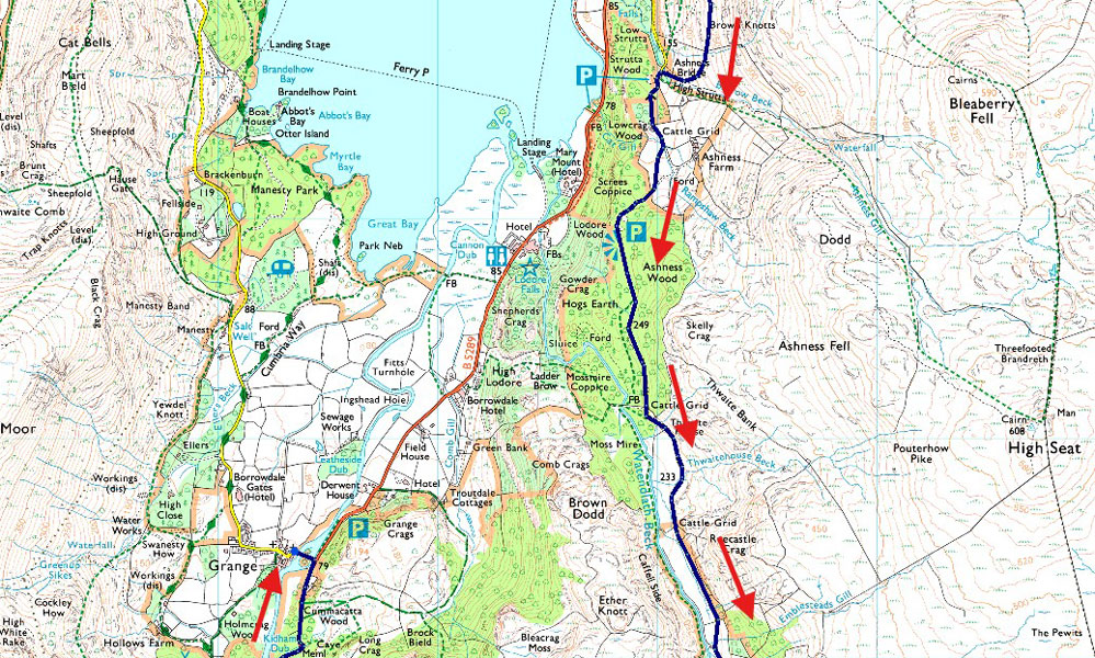
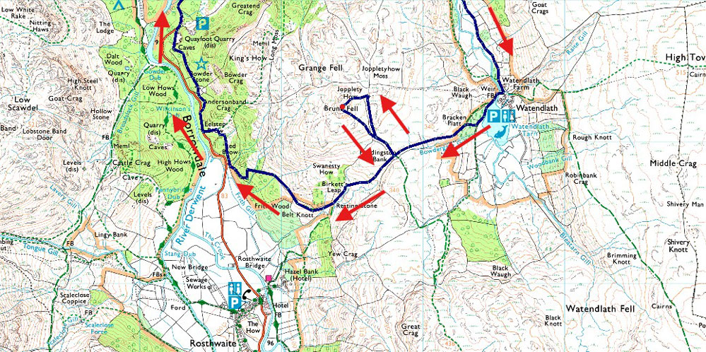
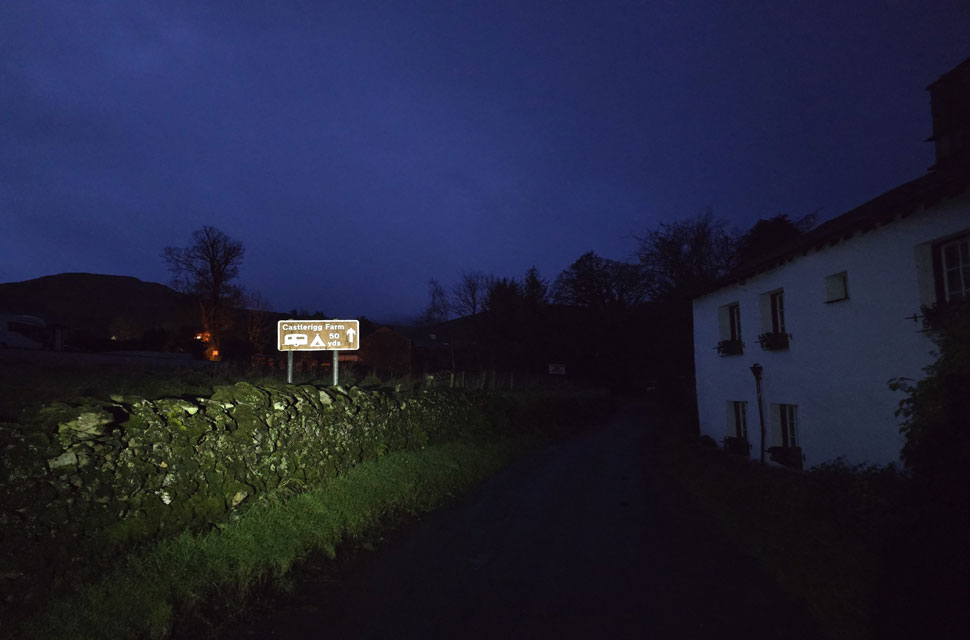
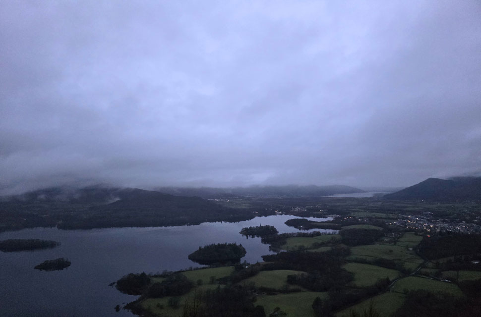
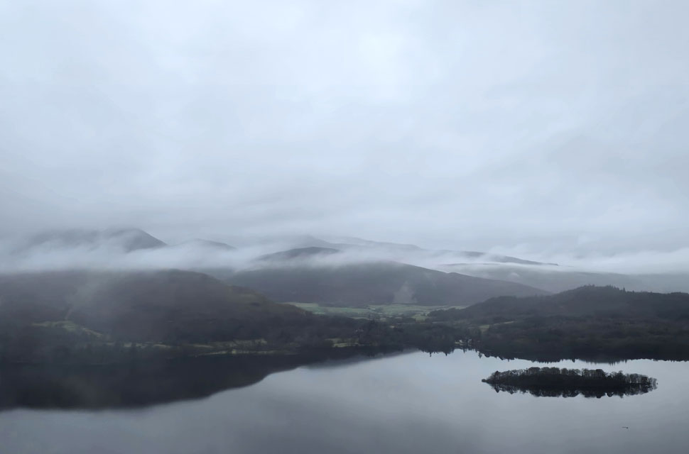
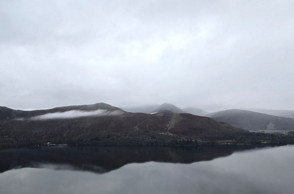
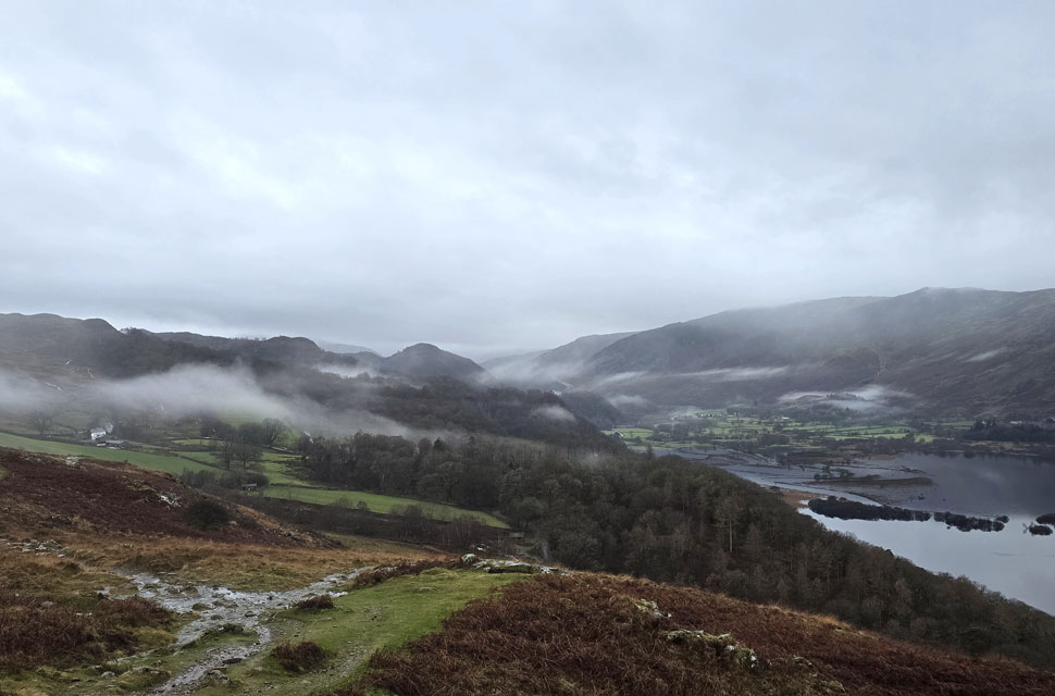
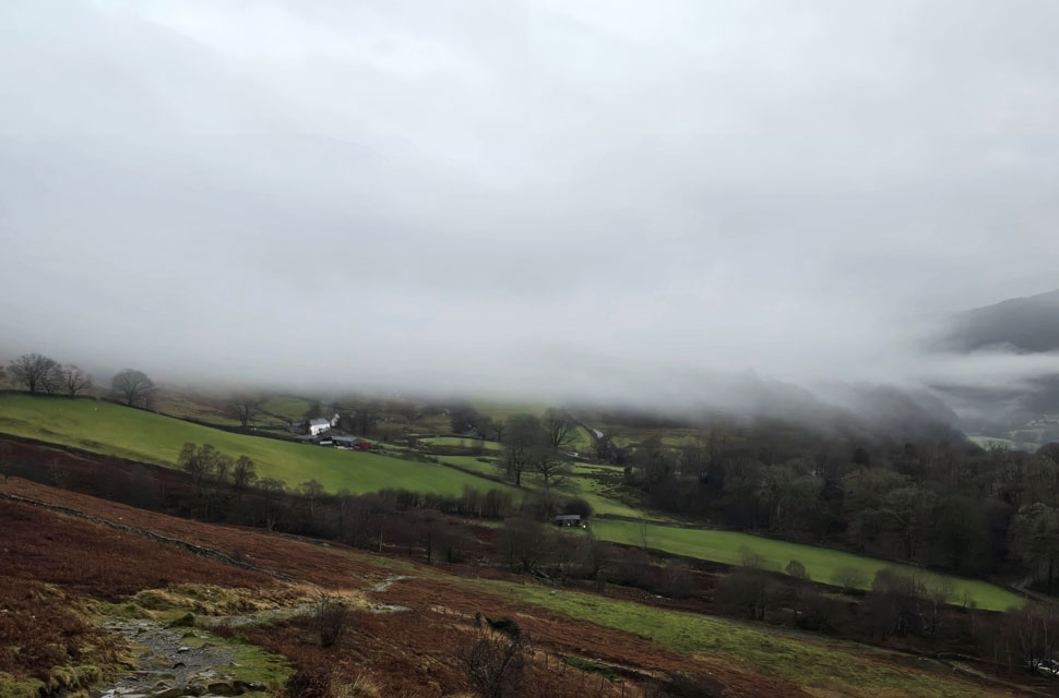
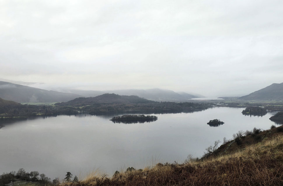
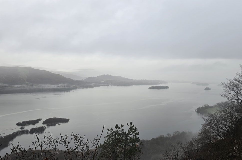
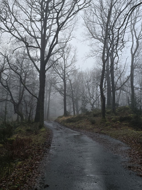
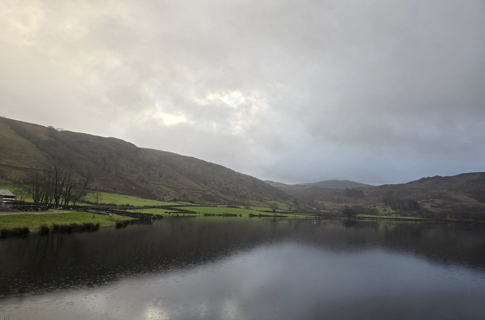
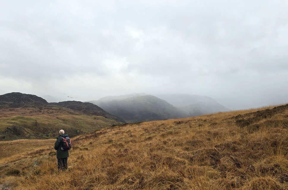
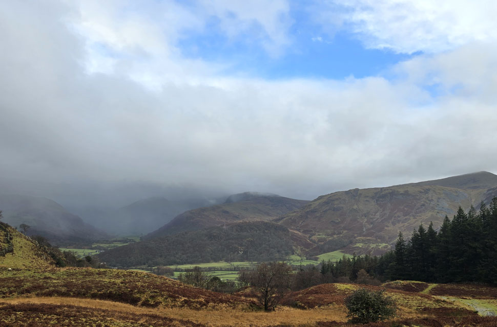
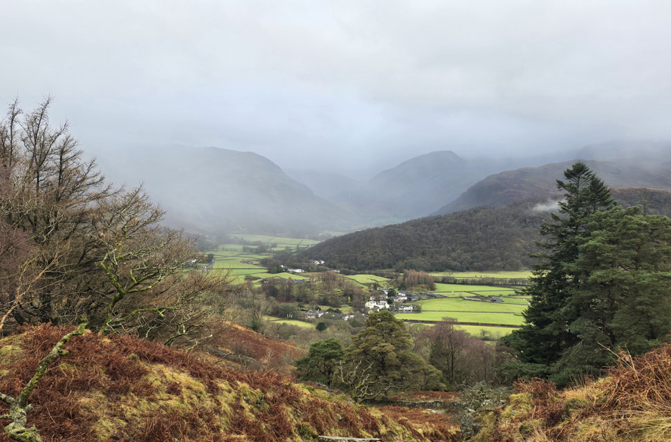
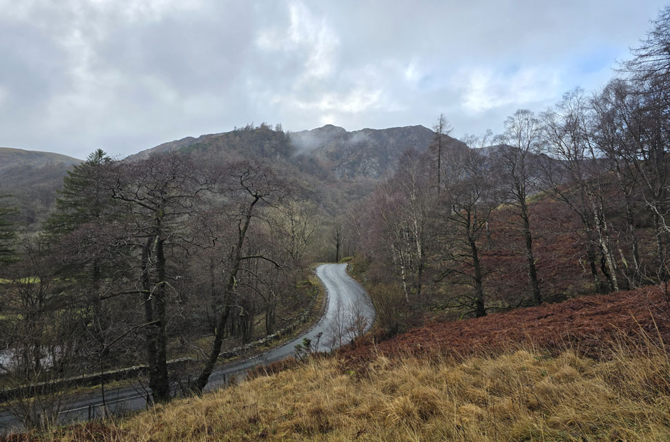
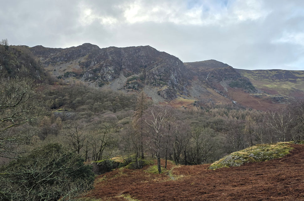
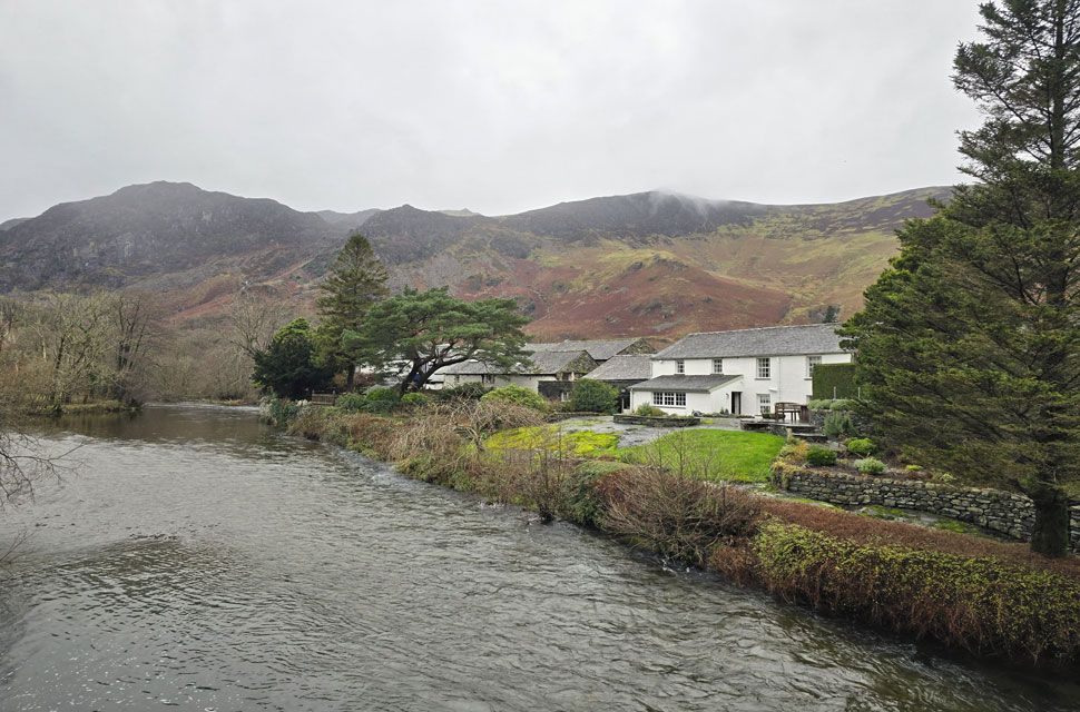
Despite a forecast of persistent rain for the duration David and I put together a low level walk using two cars from Rakefoot just outside Keswick to Grange in Borrowdale taking in Walla Crag and Grange Fell along the way. The original route would have extended to Castle Crag via New Bridge and The Cumbrian Way but after one look how full Derwent Water looked we changed the route just in case the River Derwent had burst its banks outside Rosthwaite and New Bridge, a decision that we later learned needn't have been made but,,, thinking ahead and all that. I met David outside Grange Methodist Church at about 6:55am, swapped my gear into Davids car (remembering my jacket this time) before heading back to Keswick and Rakefoot thereafter. It was still pitch black and an hour away from sunrise when we parked up, half way up the lane not far from Heights Hotel/Guest House we kitted up in misty drizzle into full waterproofs.

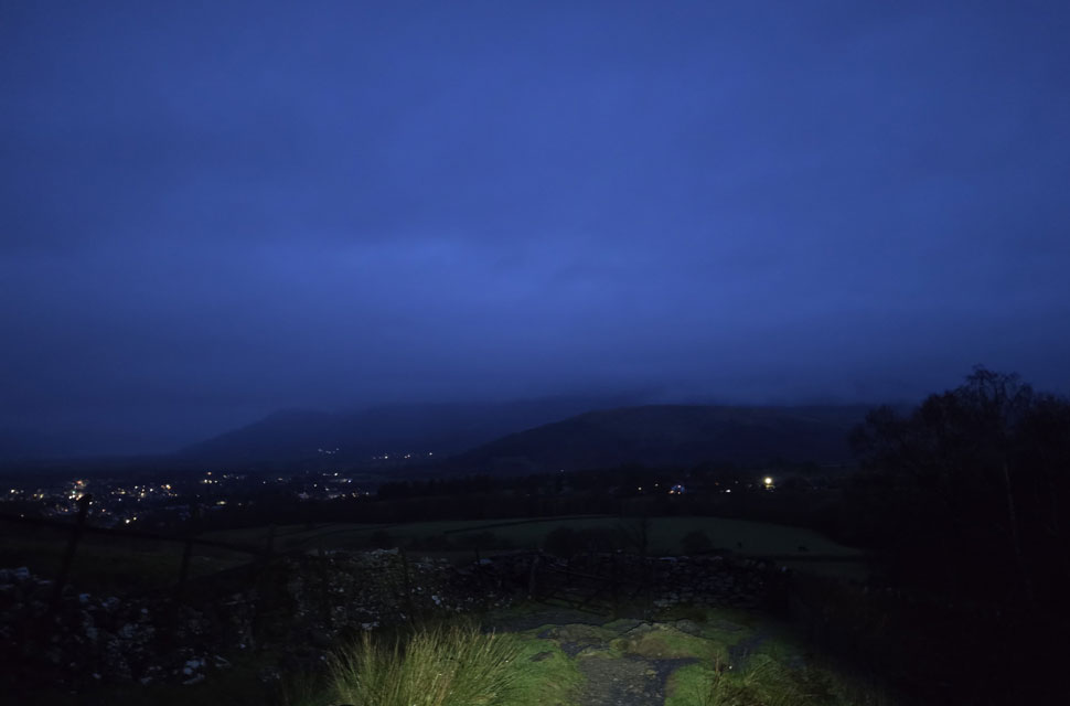
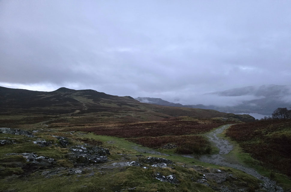
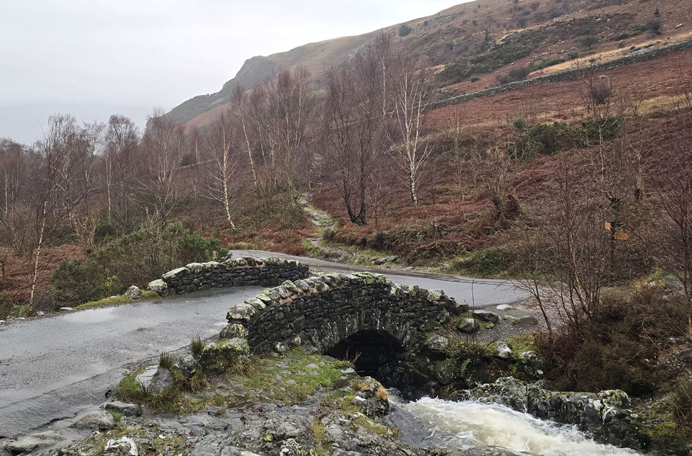
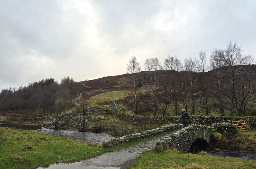
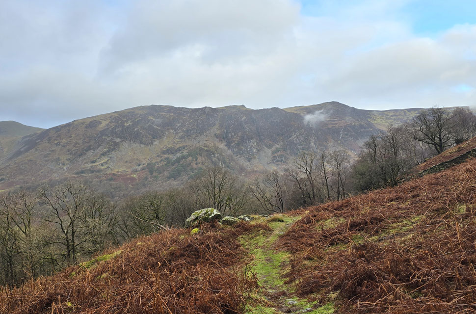
Locking the car we headed north towards Castlerigg Farm the drizzle highlighted through the beams of our head torches the silence of the morning interrupted by Brockle Beck in white spate over to our right. We passed the farm and arrived at the bridge spanning the beck where during the summer you can actually cross via a series of stepping stones without getting your boots wet but after days of heavy rain there was no sign of the stones and we crossed via the wooden footbridge before joining the path for Walla Crag.


Looking back on cloud topped Latrigg and Skiddaw with the lights of Keswick seen left.
Leaving the sound of white water after crossing Brockle Beck we were now treated to the sound of flowing water gushing down the hillside as we began the gentle ascent on Walla Crag setting the scene for the rest of the morning.

Murky views over Derwent Water stretching North towards Bassenthwaite Lake from Walla Crag summit 7:56am
After trudging through flowing water for the best part we soon arrived at Walla Crag summit just as dawn began to break, not that you can tell with the cloud only just clearing Barrow's summit to the north. One of Lakelands best known views wasn't really revealing much this morning.

Bleaberry Fell seen beyond Low Moss.
After a few minutes spent at Walla Crag summit we descended back to the stone wall where David removed a layer and I tucked my head torch back into my pack lid pocket, Here we hook a left then a right before skirting around the head of Cat Gill.

Cloud dramatics over the North Western fells.
The drizzle soon turned to light rain falling vertically and with no wind it was actually a nice experience to be walking in the rain, especially with the moody views across Derwent Water.

Cat Bells reflections.
The sunrise went unnoticed as we joined the flooded footpath bound for Ashness Bridge the rain falling constant but feeling mild at the same time. Good stuff.

Descending towards Ashness Bridge.
Minutes earlier the whole of Borrowdale was in cloud and the further we descended the more the cloud began to peel away.

Before rolling back in again.
It only took a few minutes for the cloud to hunker down directly over Ashness Farm and Surprise View which is where we're heading next.

One last view along Derwent Water.
Before we descend proper on to Ashness Bridge.

Plenty of water about, Ashness Bridge.
We heard voices from behind and spotted two fell runners who were the first people we'd seen all morning, even the very popular Ashness Bridge was deserted.

Derwent Water from Surprise View.
The rain began to fall heavier from Ashness Bridge as we passed Ashness Farm the tarmac beneath our feet flowed like a river and soon the cloud rolled in again.

Ashness Woods.
We hung around at Surprise view waiting to see if the cloud would lift but if anything it got murkier and the steady rainfall turned heavy.

Watendlath.
Once we were out of Ashness Woods it stopped raining and for the best part of ten minutes we were treated to large gaps of blue skies between the rain clouds. I can't actually remember how long ago it was since I last walked through Watendlath but it must be over ten years so when David suggested the route I jumped at the chance no matter the forecast. There's something about Watendlath that connects the walker to the valley far from any summit if that makes sense.

Blue skies over Brown Dodd.
All the while our hoods were drawn owing to the rain.

David reflecting.
I'm sure David won't mind me mentioning that it was the hamlet of Watendlath that got him and Jennifer into fell walking all those years ago.

Watendlath Tarn.
We stopped again and de-shouldered packs David, despite the rain removed his waterproof jacket such the mildness of the morning and me to have quick sup of hot Summer fruits from my mini flask. Funny how a hot drink when it's not minus ten and blowing a gail doesn't have the same effect on you!

Great Crag, High Crag and Bessyboot (Rosthwaite Fell) from our ascent on Grange Fell.
The rain continued as we made our ascent on Puddingstone Bank arriving at the top where we hooked a right over swollen ground towards Grange Fell summit. Miraculously socks remained dry for the duration.

Looking into upper Borrowdale towards Thornthwaite Fell, Glaramara, Base Brown, and Seatoller Fell.
We were treated to some lovely cloud and light dramatics and we were lucky enough to have Grange Fell to ourselves and for a few minutes, the rain held off too.

Descending Grange Fell towards the top of Puddingstone Bank.
It was here David stopped to observe a flock of geese flying in V-formation who had flown from the direction of Stonethwaite, they were heading north towards Watendlath before swooping west looping over Grange only to then head south ... must be a navigational training day we laughed.

Four seasons in one photo
I'm not sure whether I should put my hood up or take my jacket off.

Descending Puddingstone Bank.
With views over Rosthwaite and into Mordor, I mean Seathwaite.

Dale Head, High Spy and Nitting Haws as we descend into Frith Wood.
Confirmed that we wouldn't be heading into Rosthwaite and Castle Crag thereafter we arrived at a gate in the wall sign-posted Keswick and The Bowder Stone where we stopped to make a few adjustments including finding something dry to wipe my mobile phone with which had started to fog up. Once sorted we passed through the gate and began our descent into Frith Wood.

High Spy and Nitting Haws seen beyond the Borrowdale Road.
We had taken some incredible views looking back on Great Crag which was dominated by neighboring High Crag in the distance.

Goat Crag and Nitting Haws.
Our descent continued over swollen ground and forestry track until we arrived at a familiar gate with the Borrowdale Road just beyond. What we should have done was join the road and walk north until we reached the path for the Bowder Stone but instead we looped over Red Brow and linked back with the road on the other side.

The Bowder Stone.
Weighing in at 2,000 tons this thirty by thirty boulder fell 200 meters from the crags below King's How over 10,000 years ago which has been a popular tourist attraction from the Victorians age through to present day. This is only the second time I've visited the Bowder Stone and I was delighted we had it all to ourselves.

So much so, we climbed to the top.
Sadly this is as far as I'll go with wet polished rock the last thing I want to be doing is making my descent minus the staircase.

Back at Grange.
We left the Bowder Stone behind before taking one last look back revealing the colossal boulder had vanished into the dense woodland. We soon arrived at Quayfoot Quarry from where we stood looking down on the shattered rock from a viewing platform; its view churning knotts into my stomach. On the woodland trail we spotted a couple and shared a morning wishing the chap would have shared a bite of a delicious sandwich he was munching on before we were spat back out onto the Borrowdale Road.

Traffic was minimal and we were able to walk two abreast almost all the way back to Grange where we found David's car parked over the top of a large puddle "it was dark when I arrived he laughed" The church doors were open revealing glowing lights which looked warm and inviting to these two drown't rats but we resisted and began our kit down using the church railings to hang over wet gear on as we swapped damp feet into dry mid's that we'd left in the car earlier, blooming good idea that was.

We had spoken about it at length where one looks at the forecast and thinks 'I wouldn't send a cat out in that' and we're both guilty of it but every now and again go against the grain and spend five hours in the rain, you might surprise yourself by how much you enjoyed it.


Back to top