|
Bowland Knotts & Catlow Fell from Cross of Greet Bridge |
 |
 |
28th September 2025 |
 |
|
|
| |
|
Overview |
|
|
| Ascent: |
1,260 Feet - 384 Metres |
| Summits: |
2, Bowland Knotts (Crutchenber Fell) - Catlow Fell (Ravens Castle) |
| Visiting: |
Raven's Castle (Crowd Stones) |
| Weather: |
Bright & Sunny Throughout With Light Winds Across The Summits. Highs of 17°C Lows of 11°C |
| Parking: |
Car Park, Cross of Greet Bridge |
| Area: |
Forest of Bowland |
| Miles: |
7.5 |
| Walking With: |
On My Own |
| Ordnance Survey: |
OL41 Forest of Bowland & Ribblesdale |
| Time Taken: |
3 Hours 30 Minutes |
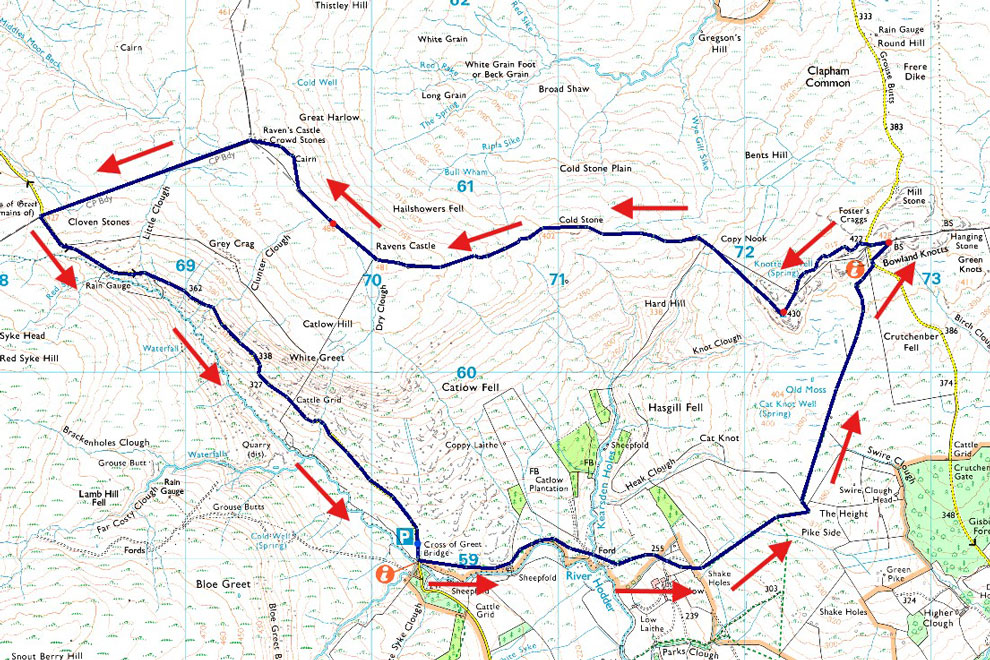
| Route: |
Cross of Greet Bridge - River Hodder - Catlow - Pike Side - Old Moss - Keasden Road - Bowland Knotts (east summit) - Keasden Road - Bowland Knotts (west summit) - Copy Nook - Cold Stone - Catlow Fell (Ravens Castle) - Raven's Castle - Cloven Stones - Lythe Fell Road - Cross of Greet Bridge |
|
| |
|
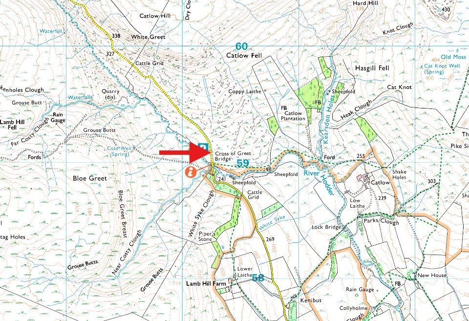
Parking Details and Map |
|
|
| Nearest Post Code: |
LA2 8RD |
| Grid Reference: |
SD 702 590 |
|
| |
|
Map and Photo Gallery |
|
|
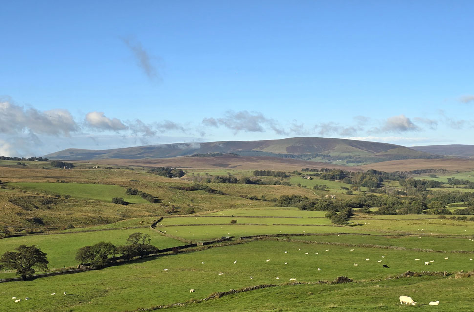 |
| Stopping to take in the view of the unmistakable Parlick, Saddle Fell and Totridge from Tittering Brow North of Waddington village. |
| it's an area of Bowland that I have walked extensively and it was great to see it from a different perspective while on route to Cross of Greet Bridge. |
 |
| Views towards Pike Side with Bowland Knotts seen right. |
| Not too far to go now with Cross of Greet Bridge nestled at the end of the treeline over on the left. |
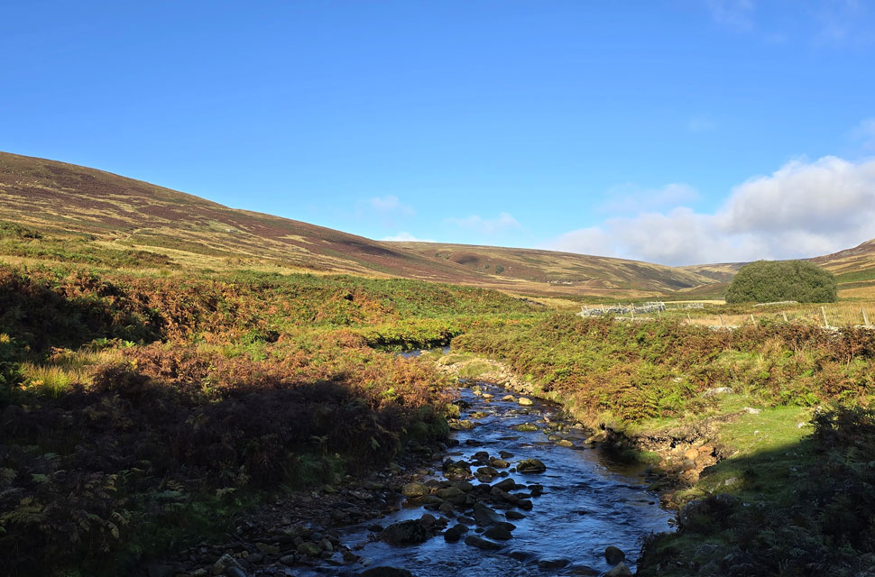 |
| The River Hodder from Cross of Greet Bridge, Forest of Bowland 11°C 10:20am |
I always liked to think that the Forest of Bowland is on my door step but today I'll be visiting an area of the Bowland that I haven't walked before which borders the Lancashire / Yorkshire border, in-fact, the border passes across the top of Bowland Knotts with both counties divided by a stone wall but I'll get to that later. I wasn't supposed to be walking this weekend instead, I was meant to be taking it easy after a stressful week in work and the forecast favoured this so I didn't feel too bad about missing out on the fells. I'd enjoyed a lie in on Saturday morning; my body clock going haywire at the very thought of sleeping in past 6am but I needed it and I ended up mowing the lawn (not many cuts left now) and taking the dogs for a good five miler. I was looking at local walks when my attention was diverted to the Forest of Bowland firstly towards Totridge Fell before remembering how last year I'd mapped out this walk, copied it to file then totally forgot about it. It only took five minutes of scouring over my mapping software to reignite the enthusiasm I felt when I'd originally planned the walk and within the hour I'd drafted the walk.
The only thing I needed to do was to convince Paula I was feeling human again and three hours later ... (I'm joking) I'd planned to set off in the morning after another lie in. I woke at 8:20am and by 9:00am I was heading north before leaving the M6 at the Broughton interchange my SatNav set for Cross of Greet Bridge. I can reach certain areas of Bowland in less than an hour but this mornings destination was in the far east which took me through the Lancashire town of Clitheroe and the quaint villages of Slaidburn and Waddington before finally arriving at Cross of Greet Bridge nearly an hour and half later. I'd left home under patchy skies with a heavy dew underfoot and it had remained that way until drove over the top of Waddington Fell where I left the cloud in my rear view mirror to be confronted by blue skies and sunshine, the Lancashire countryside looked stunning. Given the forecast I'd expected the car park to be at least half full but I was shocked to find I was the first to arrive after passing two cyclists nattering against the bridge wall getting ready to take on the incline of Lythe Fell road. I knew the start of the walk was close starting on the banks of the River Hodder but during my kit up I was getting increasingly concerned why I couldn't see the path instead just tall grass growing over marshland, mmm OK. The two cyclists had set off and I followed them leaving my boot up in search of the path before finally spotting a narrow trod on a high bank which looked the dryer option and, it was pointing in the right direction. |
 |
| Bowland Knotts (Crutchenber Fell) Heak Clough and Pike Side from the River Hodder. |
| With my car locked I headed up the fell road untl I reached the grassy bank, turned right and began wadding through knee high grass which was thankfully dry. The River Hodder was never far from ear shot and after passing two very impressive looking sheepfolds on the either side of the river the grassy bank gave way for a narrow trod which soon came in line with the twist and turns of the Hodder as it snaked through the valley. I'm heading for Pike Side to the right of the woodland which I should have taken a photo of, but I didn't. |
 |
| Looking back on White Hill during my ascent of Pike Side. |
I had to cross many a tributory to the River Hodder before having to wade through a Ford where Kearsdon Holes flows into the Hodder. It was here I had to step aside to let a farmer driving an old school Landrover Defender pass who wound his window down for a quick chat, he was the spits of my old general manager me half expected his first words to say "hello Paul" We got chatting him asking me where I was heading - his reply after hearing I was walking over Catlow Fell was "you'll love it, we do a lot of shooting round there"
We continued to chat and as it turned out I learned he was born and bred in Coppull just outside of Wigan, what a small world eh. The farmer left passing through the Ford churning the clear water into a thick brown which I waded through next. From the Ford the path began to rise, the Landrover now long gone, it's muddied tyre tracks, not so. |
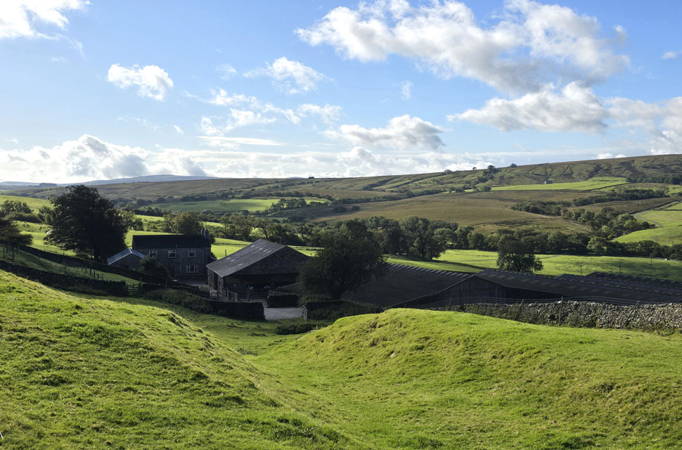 |
| Passing Farm Buildings at Catlow. |
| The track continued to rise where through the glare of the sunshine I passed this idyllic farm building complete with three large sheds to the right. |
 |
| Looking back on Saddle Hill (centre) and White Hill (right) |
| At the top of the track I reached a gate from where I could see the old barn seen in the centre of the photo, the path naturally lead towards the barn before I picked up a second trod continuing my ascent on Pike Side. Since leaving the car I'd roughly ascended around 500ft but I was learning due to the lack of paths and swollen ground that not only were these short ascents hard on the legs, but time consuming too, or at least it felt that way. |
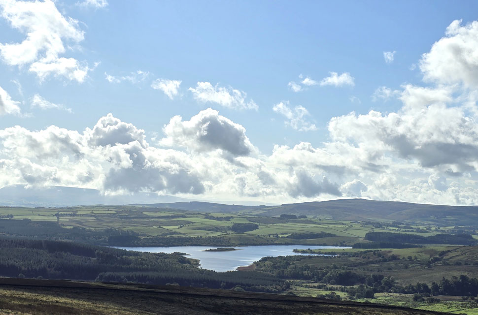 |
| Views towards Stocks Reservoir. |
| With Pendle Hill appearing in the distance on the left. |
 |
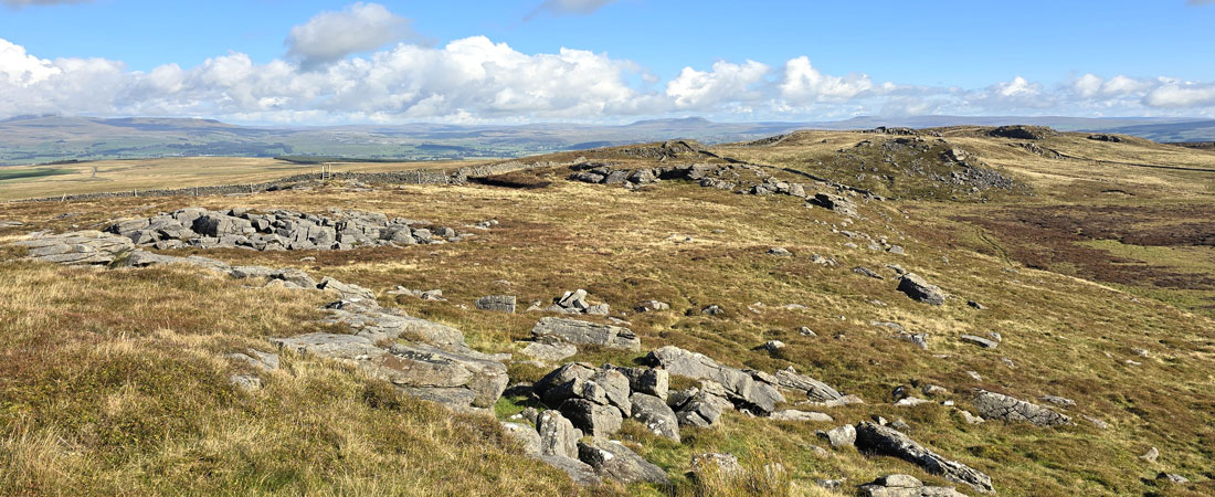
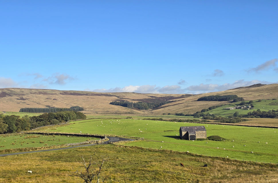
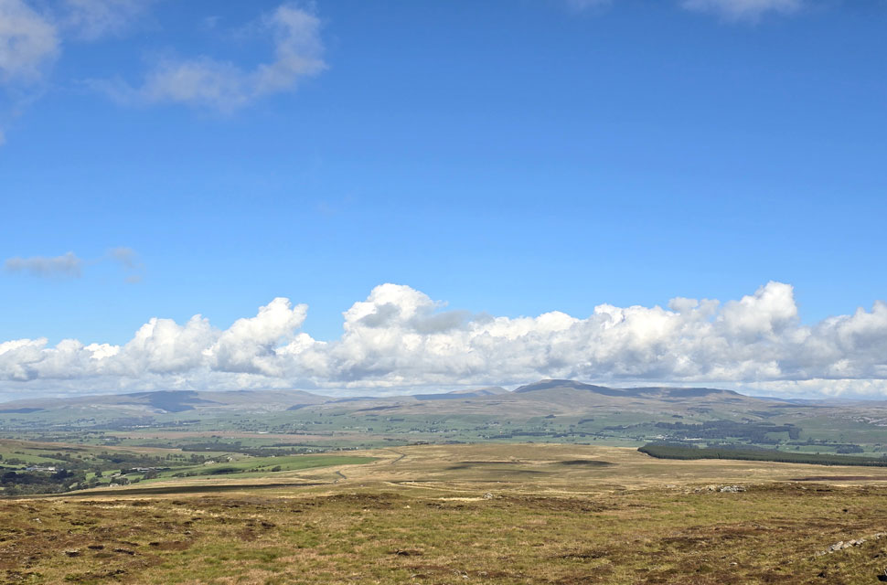
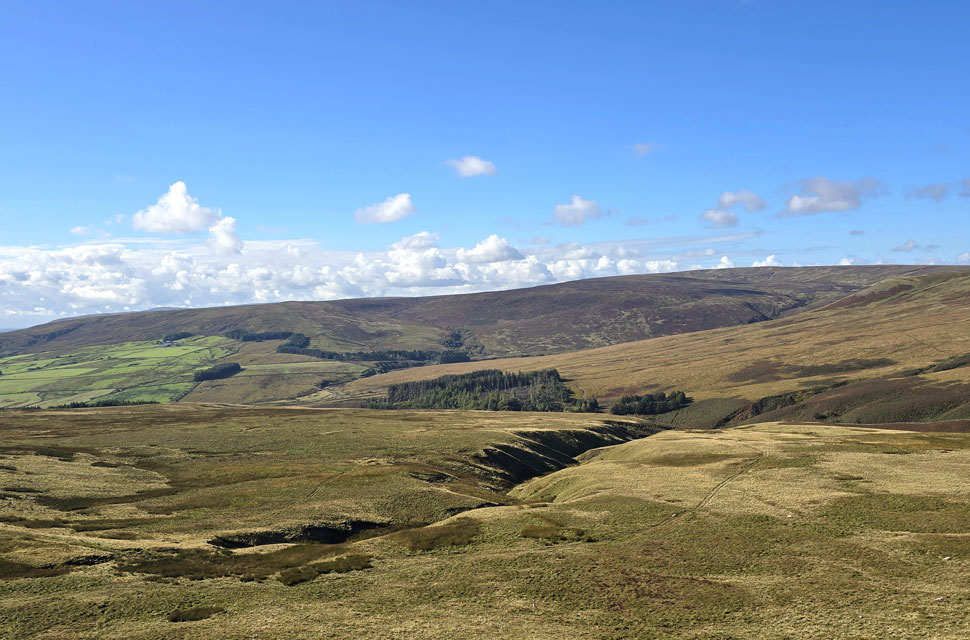
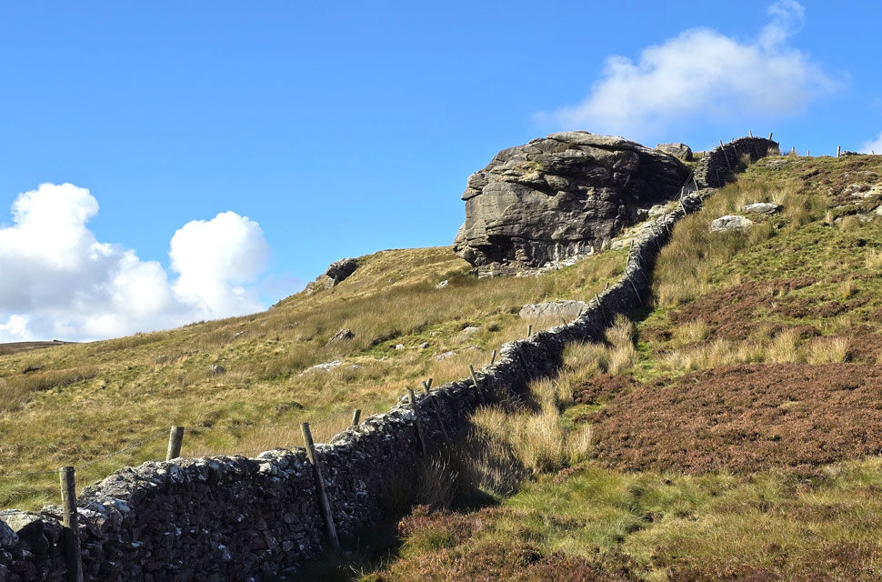
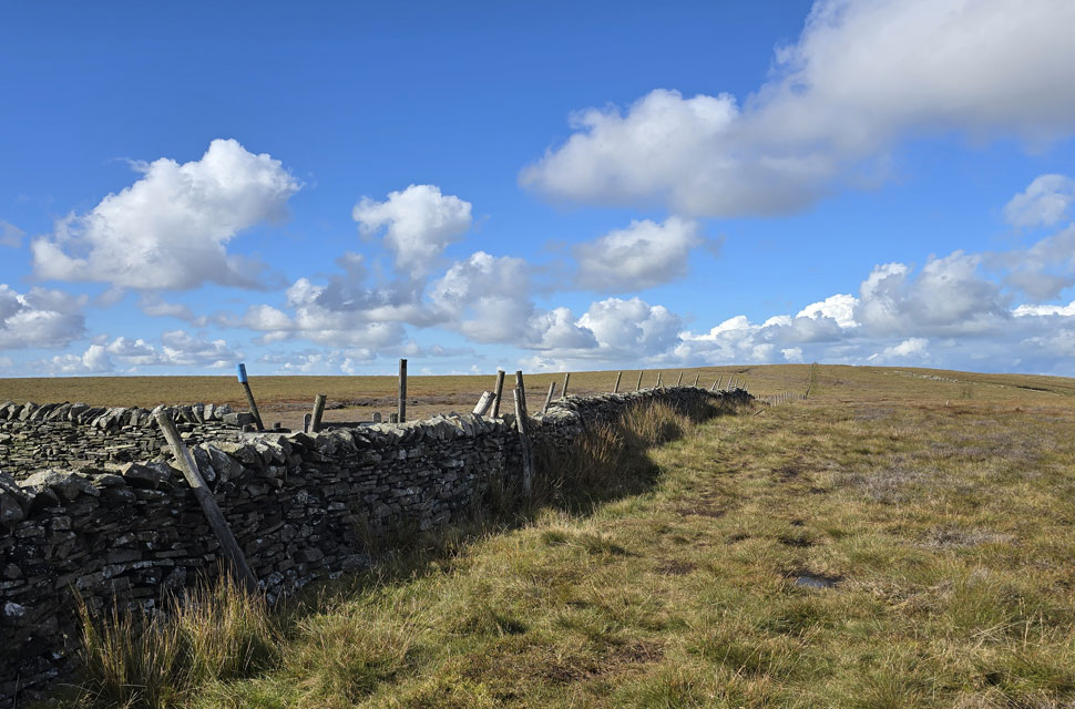
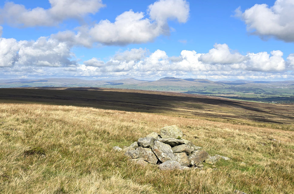
| Bowland Knotts appears from east (right) to west (left) |
| On reaching the top of Pike Side the hill side plateaued over an area of marshland named Old Moss from where I took this photo. That's Bowland Knotts ahead the actual summit out of sight towards the far left of the photo. My plan is to walk the summit from east to west starting with the rocky knoll seen right and to reach it I need to cross the summit of Keasden Road which sits on the Lancashire / Yorkshire border. |
 |
| Looking towards Bowland Knotts West top from the East top. |
| You might be able to make out the gate I just passed through in the bottom left of the photo before crossing Keasdon Road. |
 |
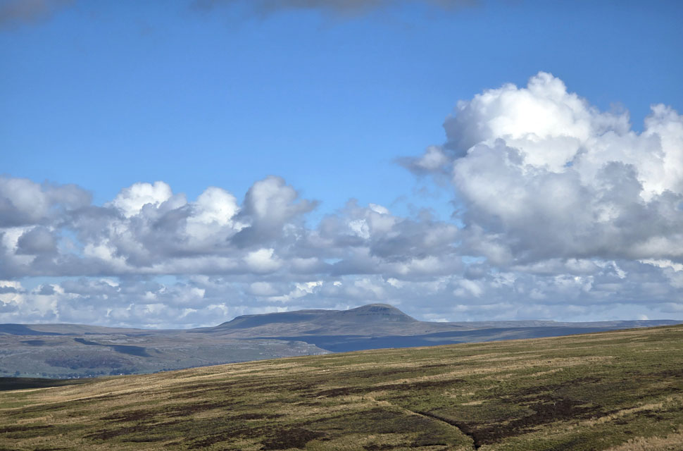
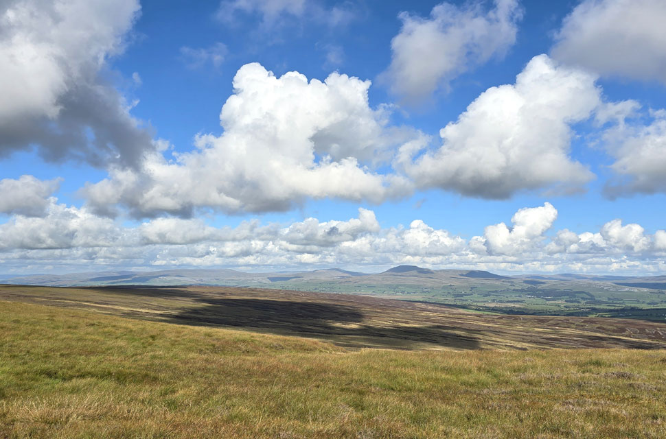
| Views towards Gragareth, Great Coum, Whernside, and Ingleborough in the distance. |
| Just nine miles away as the crow flies. |
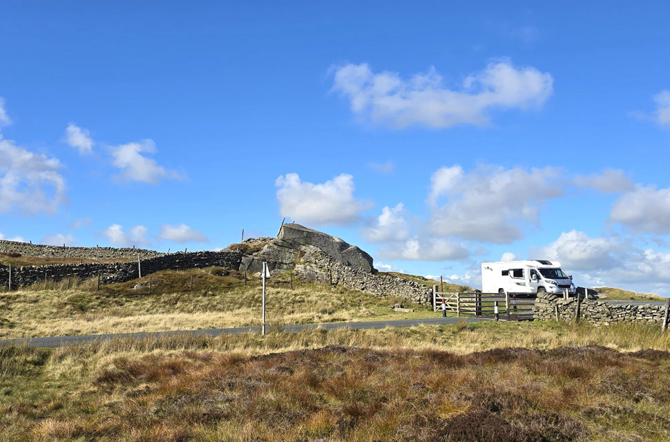 |
| Crossing the top of Keasdon Road. |
| I retraced my steps and descended the east top, crossed the top of Keasdon Road by the cattle grid and began my travese across the west top of Bowland Knotts. |
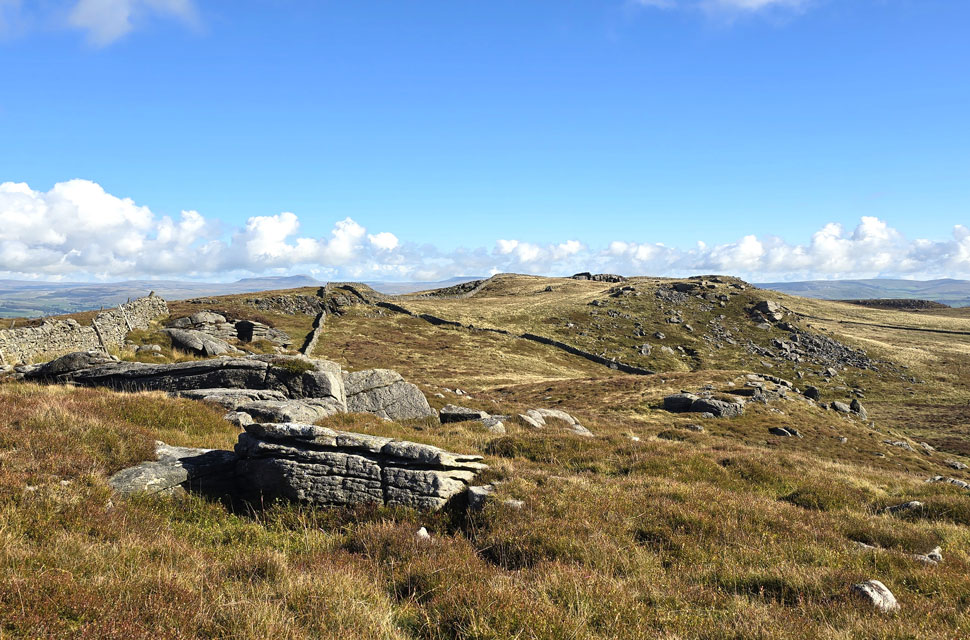 |
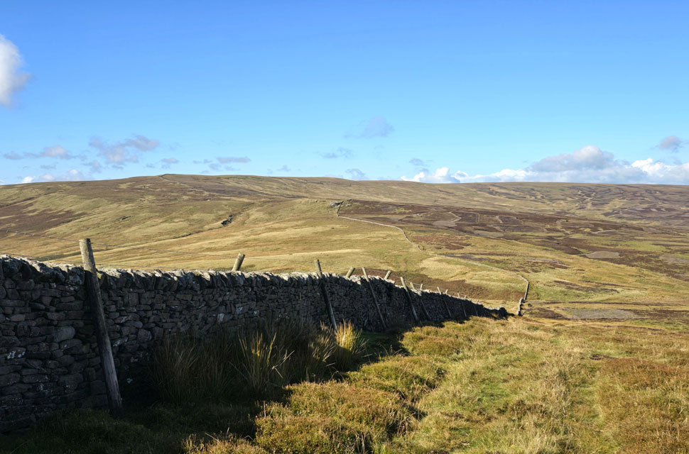
| Looking back on Bowland Knotts summit. |
| With the counties of Yorkshire on the far side of the wall and Lancashire on the right. |
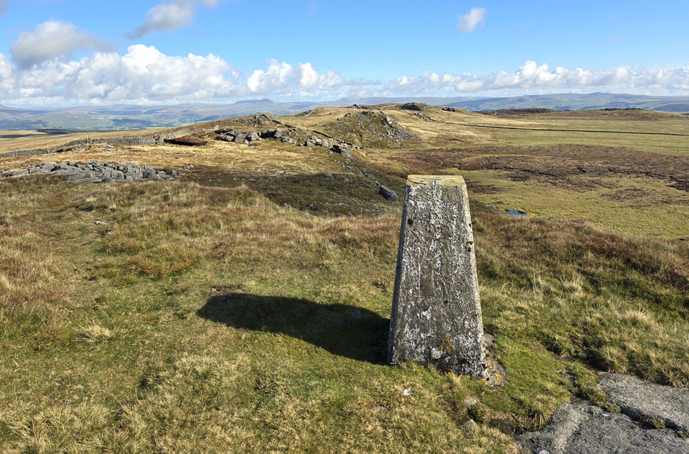 |
| Bowland Knotts (Crutchenber Fell) summit trig point. |
| What a place, and not only that after two hours on the go I've only seen one person all morning and that was the farmer driving the Landrover earlier. |
 |
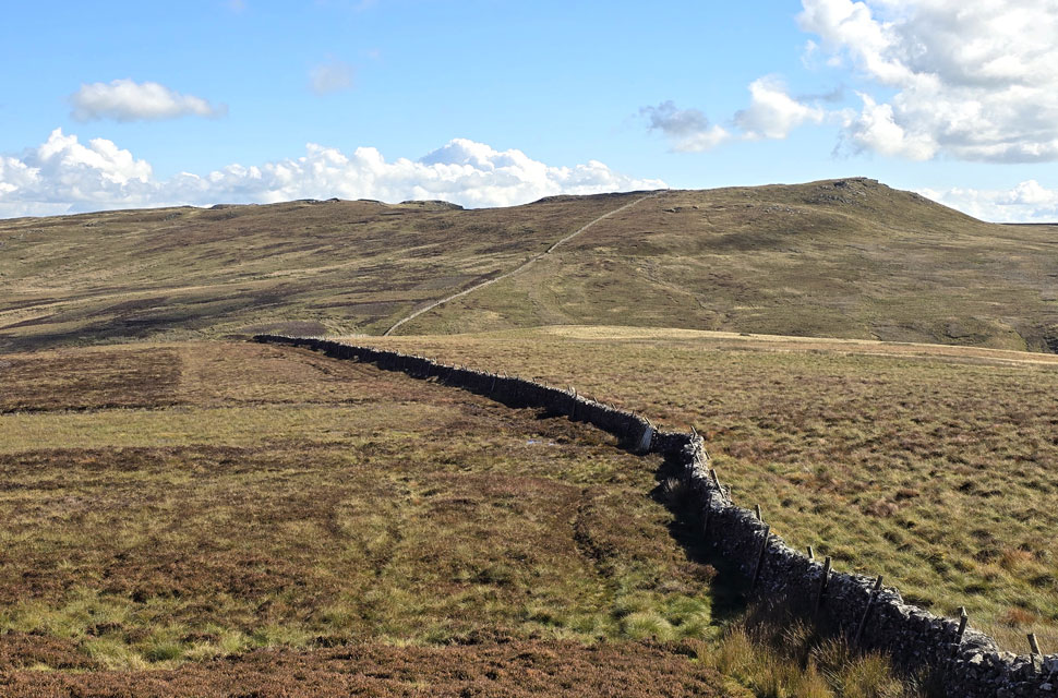
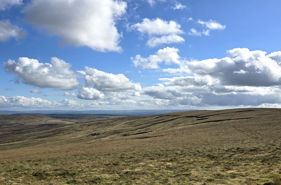
| The view over Knot Clough towards Catlow Plantation, Cross of Greet Bridge and White Fell. |
| The fell seen sloping away to the right is Catlow Fell which is where I'm heading next. |
 |
| Descending Bowland Knotts for Catlow Fell. |
| I returned to the wooden sty, crossed over it and stepped into Yorkshire. My route will follow the border wall into Copy Nook below before ascending Catlow Fell seen left. |
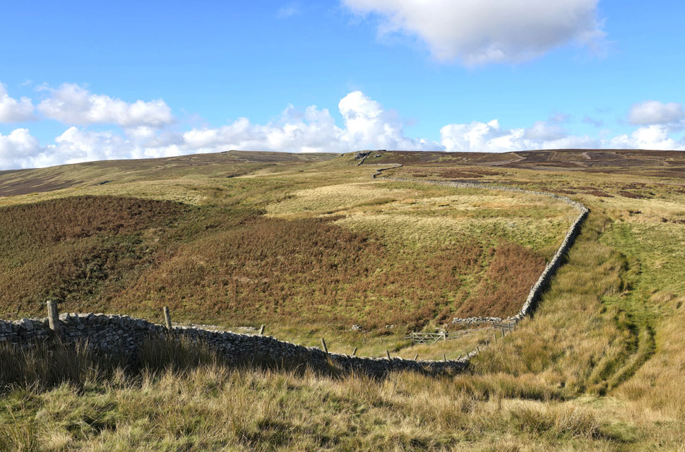 |
| Passing over Copy Nook. |
| After taking in the impressive views I descended into Copy Nook before continuing to follow the wall towards Cold Stone (seen centre) |
 |
| A close up of Ingleborough. |
| The path rises steadily while underfoot I'm about to enter another world of bog akin to Lakelands Pewits after a deluge but the views more than make up for it. |
 |
| Arriving at Cold Stone. |
| It's a fair O'l slog to reach the top, |
 |
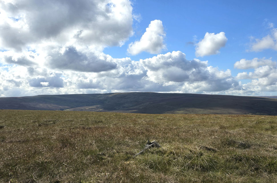
| Looking back on Bowland Knotts from The Cold Stone. |
| You can just make out the darker patches of moorland which are evidence of recent moorland fire. |
 |
| Looking back on Bowland Knotts as I near Ravens Castle at 481' |
| Positively delightful. |
 |
| Here I take in the view across Hailshowers Fell towards Burn Moor. |
| |
 |
| Ravens Castle at 481' |
| With more height gained the ground underfoot began to dry out and I was lost in my element, It's a Sunday, the sun is shining and I was yet to see anyone on the fell. Seclusion and isolation in abundance! |
 |
| Impressive views into the Yorkshire Dales. |
| |
 |
| Ravens Castle summit at 486' |
| With White Hill in the distance. |
 |
| Continuing across Catlow Fell (Ravens Castle) |
| Where my views turned back towards Lancashire and a distant south Cumbria. |
 |
| More views towards Gragareth, Great Coum, Whernside, and Ingleborough from Raven's Castle cairn at SD 695 611 |
| That's almost it, it's time to begin my descent back to the Lythe Fell Road. |
 |
| But before I do ... |
| ... I take one last look across Hailshowers Hill towards Catlow Fell (Ravens Castle) and a distant Bowland Knotts. |
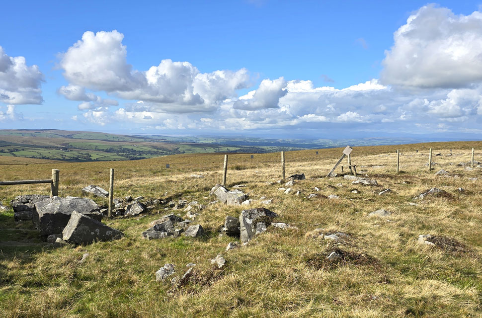 |
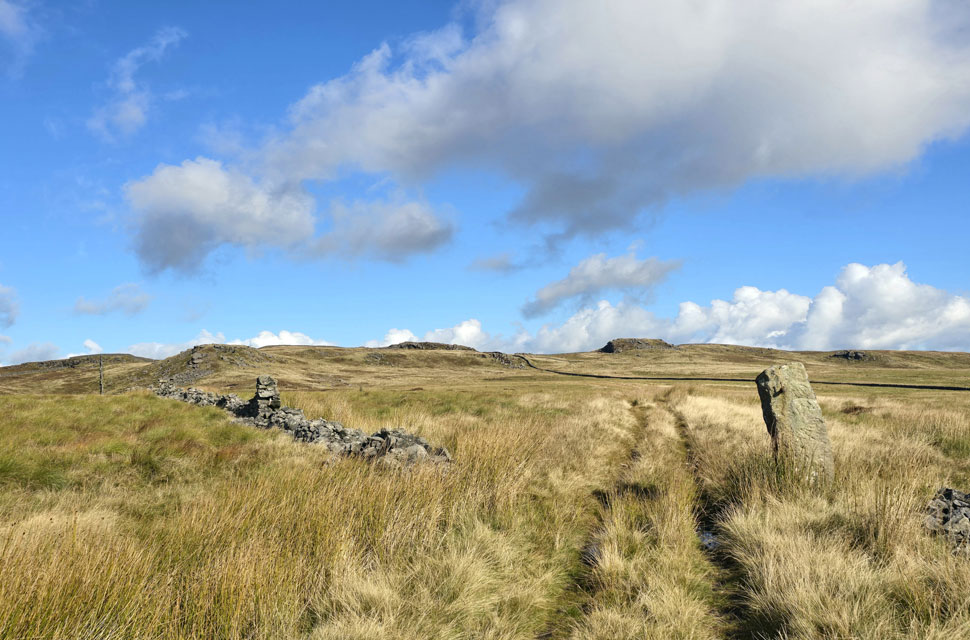
| Raven's Castle Crowd Stones. |
| Which mark the area from where I begin my descent onto the Lythe Fell Road. |
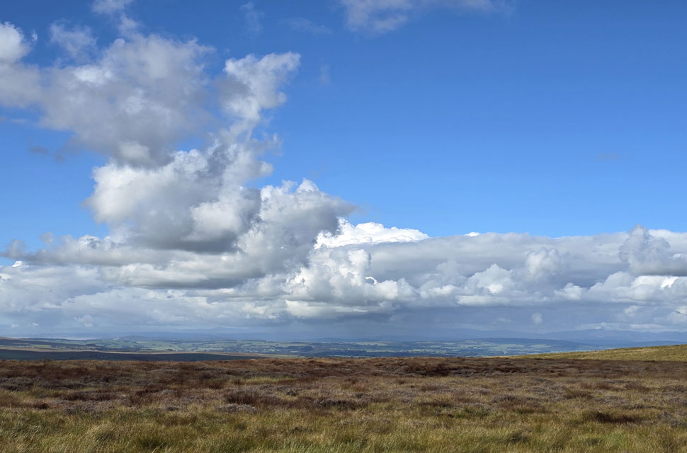 |
| Views West towards Morecambe Bay ... |
| ... and south Lakeland where it's looking a tad cloudy. |
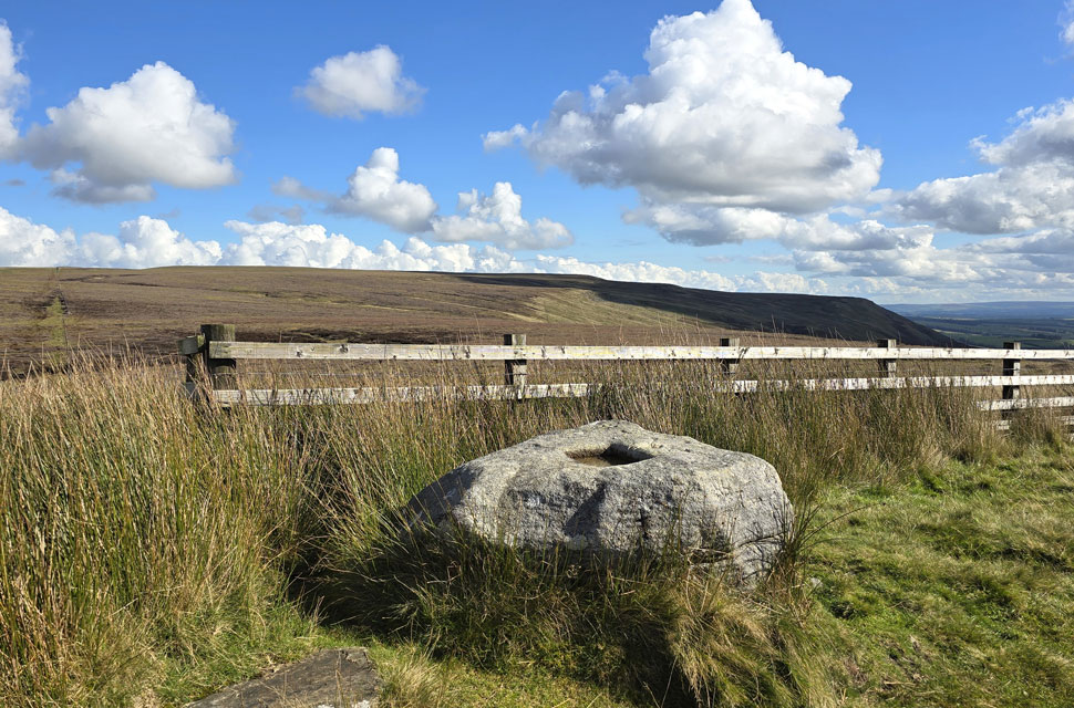 |
| The remains of Cross of Greet stone with Catlow Fell in the distance. |
Its isn't widely known how old the stone actually is but its thought to date back to the seventh century when Vikings settled in the area, One theory on the origins of the stone is that it is the base for a wooden cross which has long since been lost.
The cross would have sat in the square hole which still remains carved into the gritstone and would have marked the way between chapels for local parishioners on their way to church or for pilgrims on longer journeys across the country. A second theory is that the stone was actually a plague stone and the shallow hole was used to wash your hands, coins or even food to help prevent the spread of disease on what was a common trade route. |
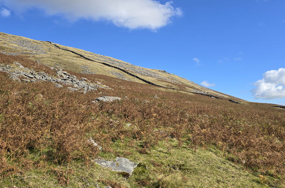 |
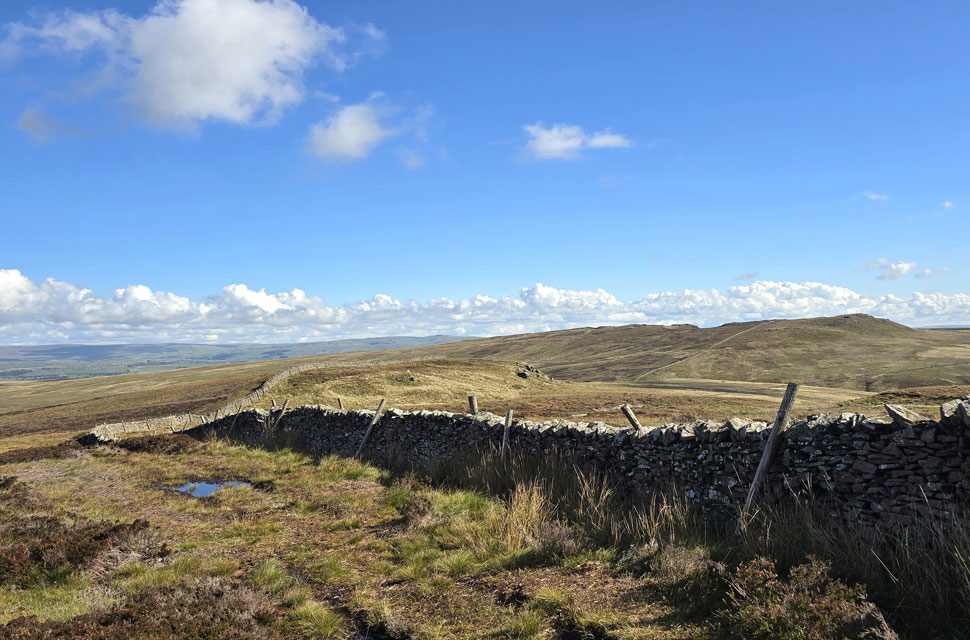
| White Greet on Catlow Hill. |
The stone wall ascends over Catlow Hill all the way to Catlow Fell secondary summit of Ravens Castle at 481' - The fell side here was so steep it would give the direct ascent on Dollywagon Pike from Grisedale Tarn a run for its money. |
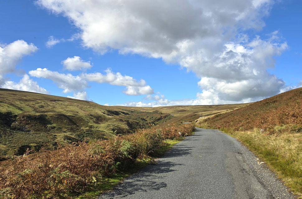 |
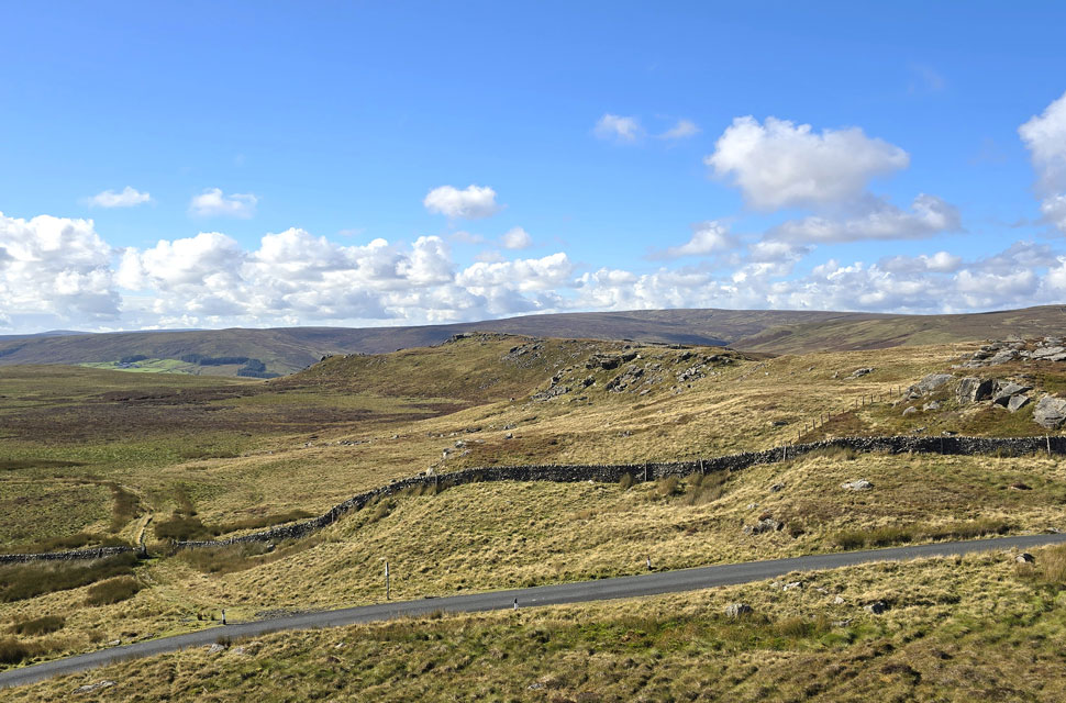
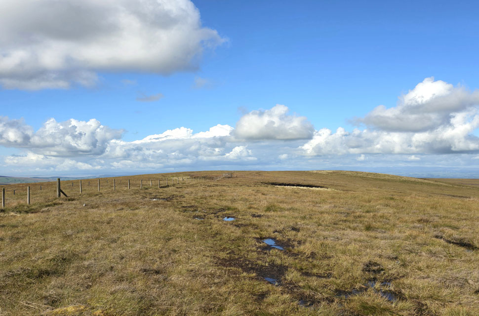
| Views back up Lythe Fell Road. |
The worst of the bog laid in wait in between Crowd Stones and the Lythe Fell Road but by then I'd enjoyed the walk so much I was in two minds to care. The bogs were relentless swallowing my boot up to the ankles and at one point, my right leg up to the knee. I descended regardless. Two hundred yards from the fell road I watched another Landrover Defender reverse into the layby out of which a farmer emerged and began his walk towards Ravens Castle like he had done it a hundred times or more, we pass - I note his wellies, a silent nod and off we trudged in our respective directions. Ten minutes later I emerged at the rear of his Landrover and onto welcome tarmac of Lythe Fell Road.
I look back the farmer who is half the way up the slope. I feel the suns warmth on my neck. This is like no other fell road at just ten feet in width in places you'd be hard pressed to get a car up here with passing places few and far between but as it turns out it's popular with motorbikes and I am passed by dozens of riders in each direction, no wonder they loved it. The road continues to descend - the sunshine making it feel like the middle of July rather than two weeks into Autumn. In the distance the light from the windows of two cars parked in the car park at the Cross of Greet Bridge reflect back, as does the River Hodder flowing alongside. It was a spare of the moment decision to even walk today let alone explore an area of Lancashire I hadn't visited before. I would expect these hills to be the grimmest of grim in the low light of Winter where few venture but on a day like today I was reminded it wasn't rest I needed. |
|
| |
| Back to top |
 |
|