|
Glenridding Dodd, Hart Side and the Glencoyne Traverse |
 |
 |
20th April 2024 |
 |
|
Storm Kathleen caused havoc during the first week of April, and even after the clean-up the high winds continued well into the month, with the more exposed, higher summit wind speeds averaging well over 30mph. This, coupled with the squally weather down in the valleys, meant getting out for a fell walk was almost impossible, with the exception of those few spring hours dotted between the wind and rain where, if you are lucky enough to live within the district, you might be able to get a few hours of rare spring sunshine. It's fair to say we can write the first half of spring off.
Despite the chaos that the weather caused, work also interrupted my fell time and on the odd weekend when it wasn't blowing a gale or I was working, the one Sunday I did have off my body told me to use it as a rest day. It wasn't all doom and gloom, as I did manage to get up to Winter Hill on three occasions, all of which didn't make it to the website, such the lack of photo opportunities coupled with my mood, which had taken a bit of a nose dive. Rod began gathering the flock as early as last Monday. This is a walk that I mentioned well over a month ago before the winds arrived, and with the arrival of what appears to be a proper spring day, the butterflies in my stomach finally returned. |
|
| Wainwright Guide Book Two |
 |
| The Eastern Fells |
| The principle height of this spur is Hart Side, which with its many satellites on the declining ridge forms the southern wall of the long valley of Deepdale throughout its sinuous course, its opposite boundary being the short deep trench of Glencoyne. |
 |
|
|
|
| |
|
Overview |
|
|
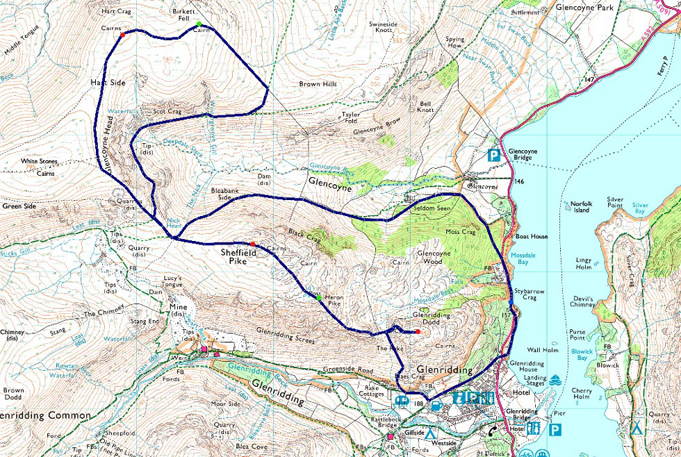
| Ascent: |
2,857 Feet - 870 Metres |
| Wainwrights: |
3, Glenridding Dodd - Sheffield Pike - Hart Side |
| Visiting: |
2, Heron Pike - Birkett Fell |
| Weather: |
Sunshine & High Level Cloud. Highs of 14°C Lows of 3°C Light Winds Across The Summits |
| Parking: |
Parking Spaces, Stybarrow Crag |
| Area: |
Eastern |
| Miles: |
7.8 |
| Walking With: |
David Hall, Rod Hepplewhite, Louise Hepplewhite & Calva |
| Ordnance Survey: |
OL5 |
| Time Taken: |
6 Hours 15 Minutes |
| Route: |
Stybarrow Crag - Ullswater Shore Path - Greenside Road - The Rake - Glenridding Dodd - Heron Pike - Sheffield Pike - Nick Head - Hart Side - Birkett Fell - Glencoyne Traverse - Nick Head - Seldom Seen - Stybarrow Crag |
|
| |
|
Parking Details and Map |
|
|
| Nearest Post Code: |
CA11 0NG |
| Grid Reference: |
NY 387 117 |
| Notes: |
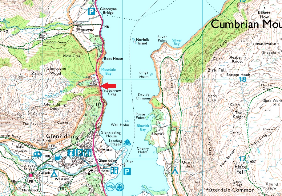
The parking spaces at Stybarrow Crag are perfectly positioned for walks into and Glenridding, the Helvellyn range or even just a short walk up Glenridding Dodd. If travelling from the north the parking spaces will appear on the right as a long layby right opposite Ullswater or from the south they will appear on left after leaving Glenridding. Despite the popularity of the surrounding fells and villages you would only have trouble parking here if left late into the day during Summer. Parking is free. |
|
| |
|
Map and Photo Gallery |
|
|
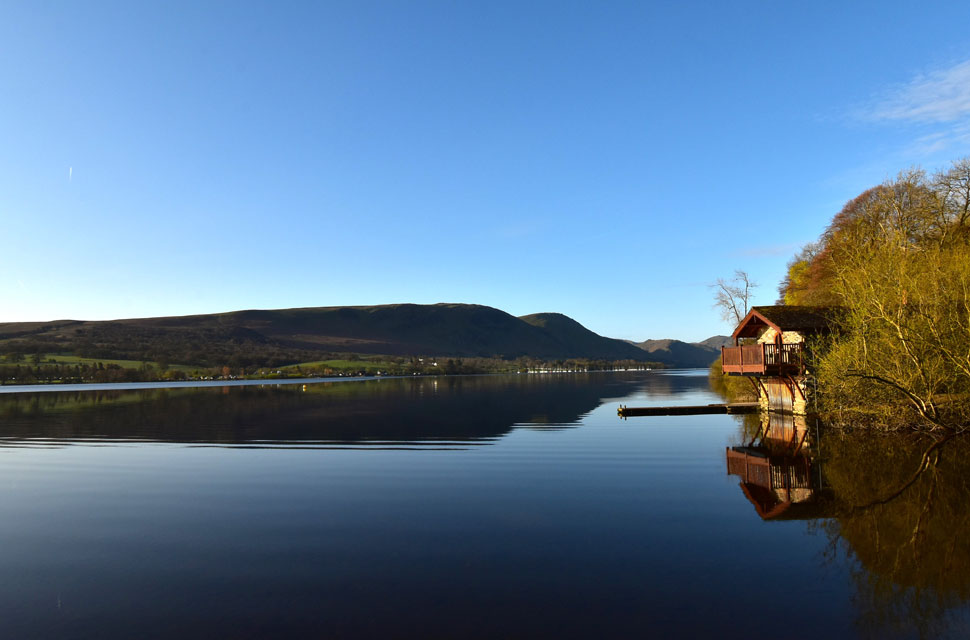 |
| Arthur's Pike and Bonscale Pike from the Duke of Portland Boat House, Ullswater 3°C 7:45am |
| There was no way I was going to drive past this classic scene on my way to Stybarrow Crag so I stopped to take a few photos. Ullswater looked so calm this morning with only the slightest of ripples across the waters surface. By the way if you was thinking about staying in the boat house one night at this time of year will set you back £495 and for June, it's £595! |
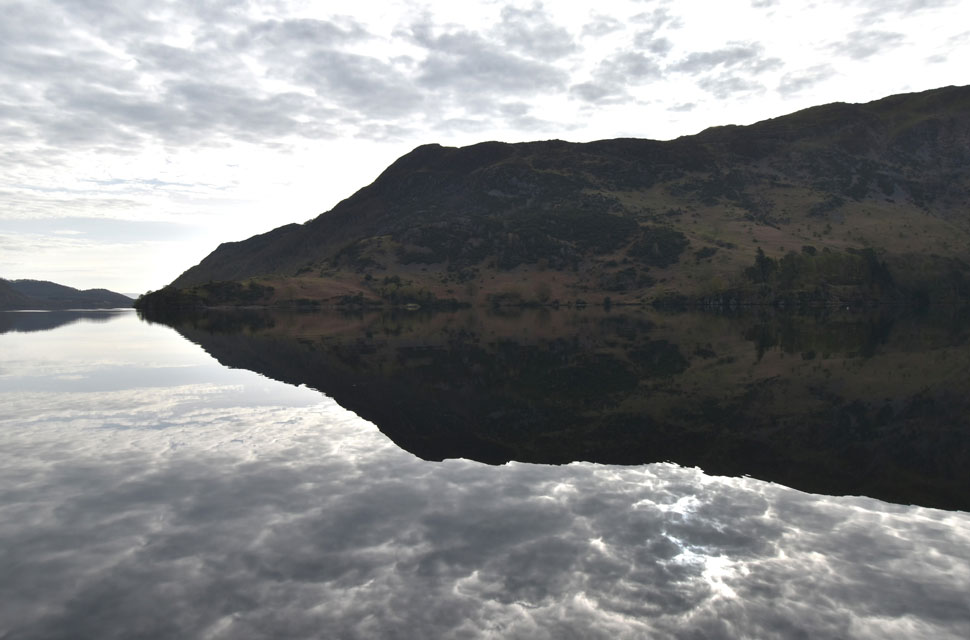 |
| Birk Fell (Place Fell) reflections 7:55am |
It had only taken ten minutes for the high cloud to roll in, which was a slight disappointment as the forecast suggested bright sunshine until lunchtime. Oh well, at least it was dry with only light winds. I arrived at the layby below Stybarrow Crag to find it heaving with just three parking spaces left, and after parking up I hoped every car that came over the brow was either David's or Rod's, Thankfuly Rod soon arrived with Louise and David a few minutes later. That was it, 8:00am and the layby was full already.
It was the 24th February since we had all last walked together, and it's fair to say it was great to have the gang back together again. Of course, the first topic of conversation was the continuous storms and never-ending wind. Mountain Forecast had predicted freezing temperatures across the summits, and as a result, we were all wearing long trousers. Even Calva had his coat on with its fleecy neck; he looked proper snug, but with the valley temperatures increasing, we'd all be de-layering within the hour. Kitted up and eager to get under way, we locked our cars, crossed the road, and joined the Ullswater shore path towards Greenside Road and Glenridding. |
 |
| Views over Glenridding towards Birkhouse Moor, Stang, Raise and White Side. |
| We flanked the shores of Ullswater until Greenside Road came into view, which we followed towards the old miners cottages whilst looking down on the rooftops over Glenridding. Across the valley we picked out dozens and dozens of walkers making their way up alongside Mires Beck toward Birkhouse Moor and no doubt Helvellyn thereafter which we suspected, would be incredibly busy today. With the cottages reached we picked up The Rake bound for Glenrididng Dodd, it was here, just half an hour into the walk we de-layered. |
 |
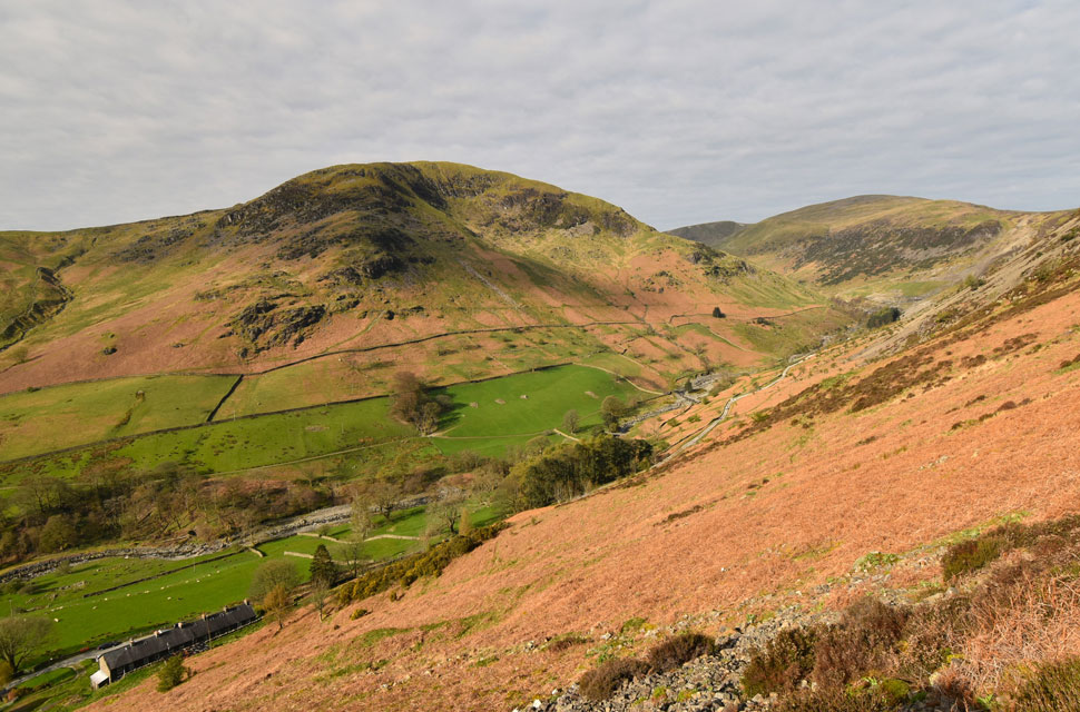
| Gowbarrow Fell, Birk Fell and Low Birk Fell (Place Fell) from Glenridding summit. |
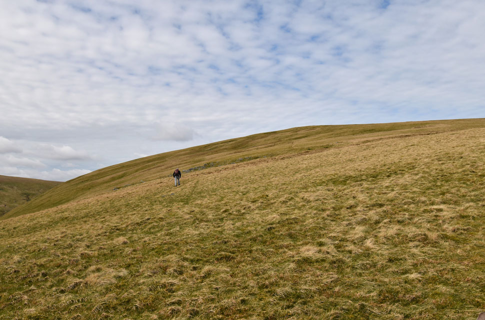
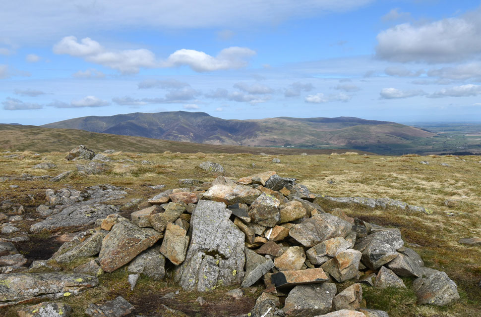
| With the top of The Rake reached we watched a group of fell walkers making their ascent on Heron Pike and on the zigzags just below Glenridding Dodd's summit we passed two women who we had been trailing and 'mornings' were shared. The ground across the summit reflected the weeks of rain we've had having to hop skip and jump across the boggy sections before the summit cairn was reached. There really are incredibly views of Ullswater from up here. |
 |
| Heron Pike from Glenridding Dodd. |
| It's just a case or re-tracing our steps to the col below before we begin our ascent on Heron Pike and Sheffield Pike thereafter. Every time we're here David mentions the alternative ascent onto Heron Pike by following the wall horizontally and ascending the fell side from the north, and, as ever we repeat 'must do sometime' |
 |
| Ullswater from the Shark and the Rhino. |
| I wonder how many people have walked straight past without noticing? |
 |
| Long distant views into Brown Cove. |
| Not being up here for the last few weeks I didn't expect to see snow on Helvellyn with smaller patches extended across the eastern aspects of the ridge towards White Side and Raise. |
 |
| Ullswater from Heron Pike. |
| We continued in ascent and decided to head to Heron Pike summit from where we took in the views over Ullswater while wondering what had happened to the sunshine. |
 |
| Catstye Cam, Helvellyn, Lower Man and White Side from Sheffield Pike summit. |
| We left Heron Pike and made a direct ascent on Sheffield Pike passing over bog before the summit cairn came into view. To the left is the boundary stone which has been fractured for a least the last three years; suspect cause, freeze-thaw affect, The good news is after all this time the remainder of the stone still resides at the side of the main stone. |
 |
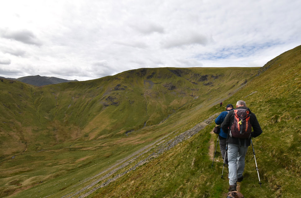
| White Stones seen beyond Nick Head. |
| With the cloud cover came a drop in temperature and layers would have been re-added had it not been for the steep haul onto Glencoyne Head ahead. |
 |
| David heads off to White Stones. |
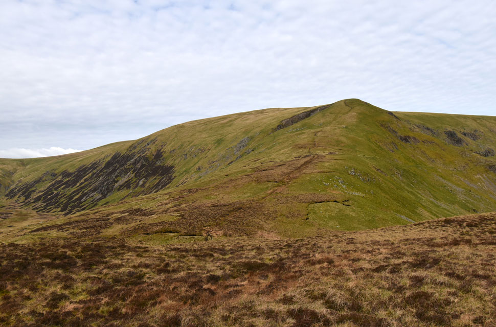
White Stones had been on David's 'summits not visited for over a year' list so we agreed to meet him on Hart Side later, trouble was Calva didn't want to go so I took Calva which allowed David to plough on at a good pace. |
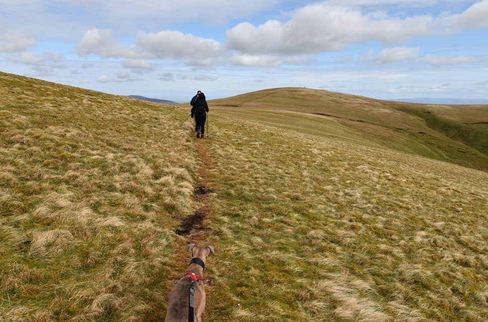 |
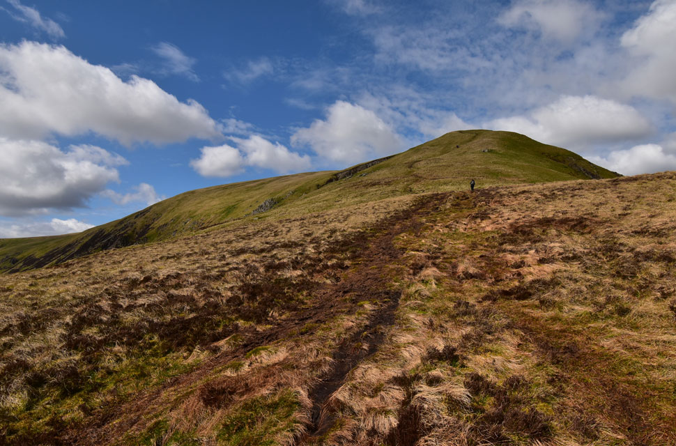
| Heading for Hart Side. |
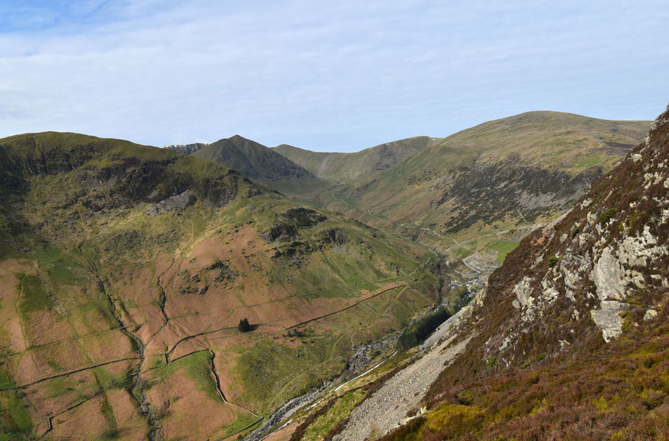
| Seen here as we cross the top of Glencoyne Head. |
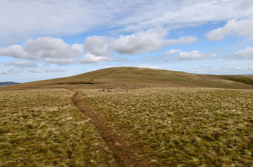 |
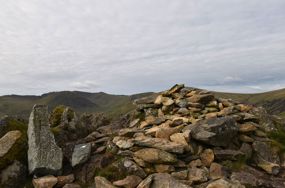
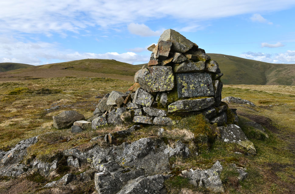
| Hart Side. |
| It looks like we won't have the summit to ourselves with two people having just arrived from the Birkett Fell side. |
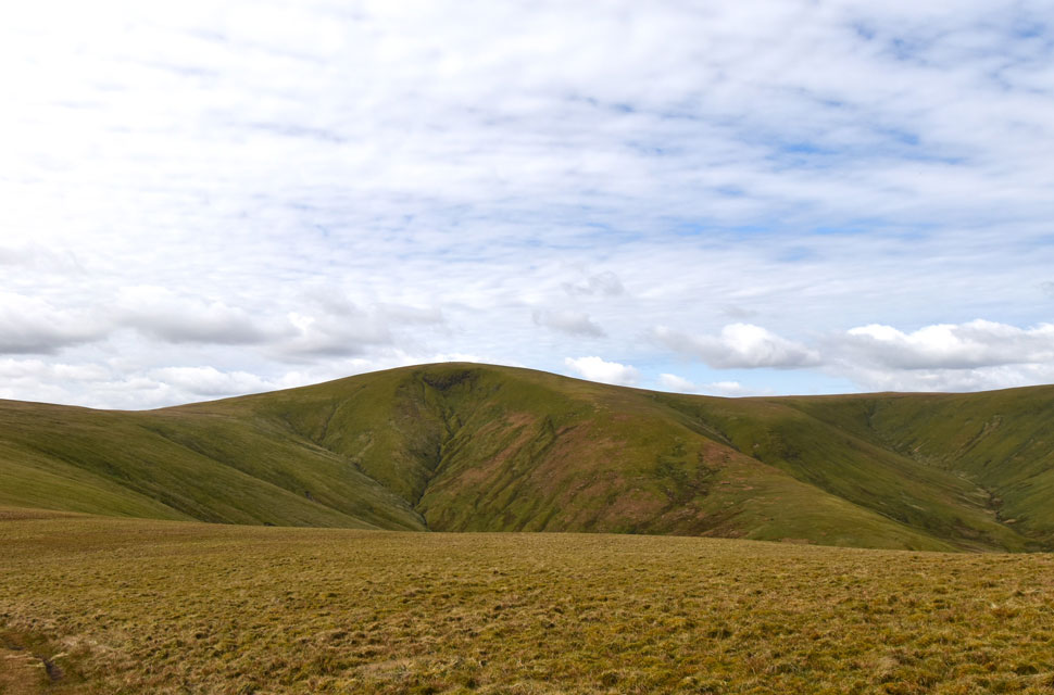 |
| Looking over Deepdale towards Stybarrow Dodd. |
| |
 |
| Blencathra and the Mungrisdale fells from Hart Side summit. |
| We spotted David leaving White Stones and waited for him before beginning the grassy ascent on Hart Side where we were joined by no less than five other walkers who appeared from nowhere! The good news was the sun was coming back out as we decided to break for lunch on Birkett Fell just a stones throw away east. |
 |
| Glencoyne Head, Hart Side and Stybarrow Dodd from Birkett Fell. |
| After a very boggy traverse Birkett Fell was soon reached and with a cool light breeze blowing we opted for lunch on t'other side of a nearby wall. |
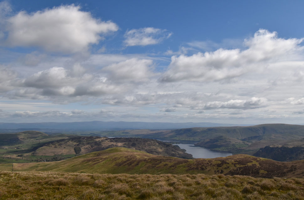 |
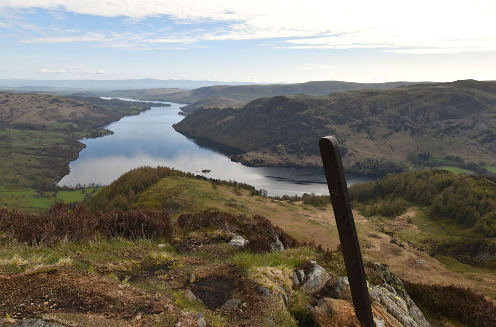
| Lunch with a view. |
| Here taking in the view over Watermillock Common towards Hallin Fell, Bonscale Pike, Loadpot Hill, Arthur's Pike, Gowbarrow Fell and the Mell Fells. |
 |
| Descending Birkett Fell. |
| With excellent views into Threshthwaite Mouth. By the way the couple ahead are actually together, we hoped that they had an agreement 'first back to the car or meet you at the bottom' because the husband left his wife until she was completely out of view so we made a point of looking back to make sure she was ok. God forbid she'd have gone over on her ankle! |
 |
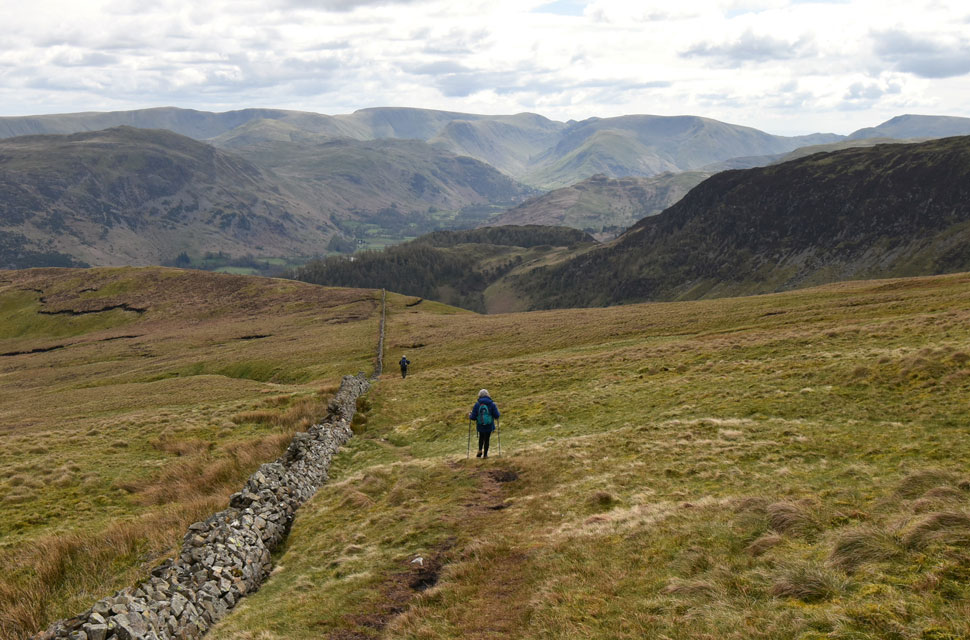
| Joining the Glencoyne Traverse with Glencoyne Head ahead. |
| The traverse is the modern name, back in the day this would have been the route the Miners from Glenridding and beyond would have taken to reach the Glencoyne Level and Greenside Mine on the other side of the Glencoyne valley. |
 |
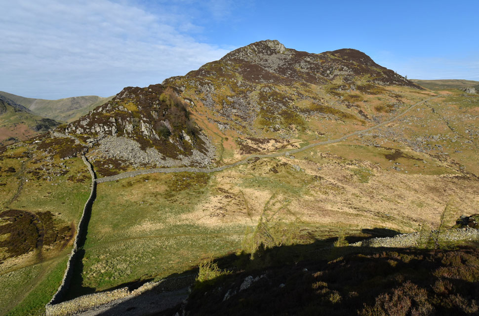
| Looking back along the traverse towards Scot Crag and Hart Side. |
| If you have ever seen the huge bags of stone that get air lifted to repair paths and you wonder where those stones came from, just below the traverse on the steep side of the valley we spotted dozens and dozens of bags of stone no doubt a result of the lead mining here in Glencoyne waiting to be air lifted out. |
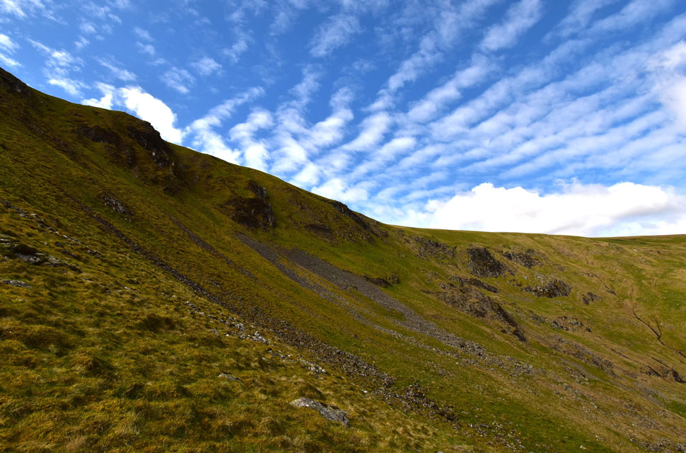 |
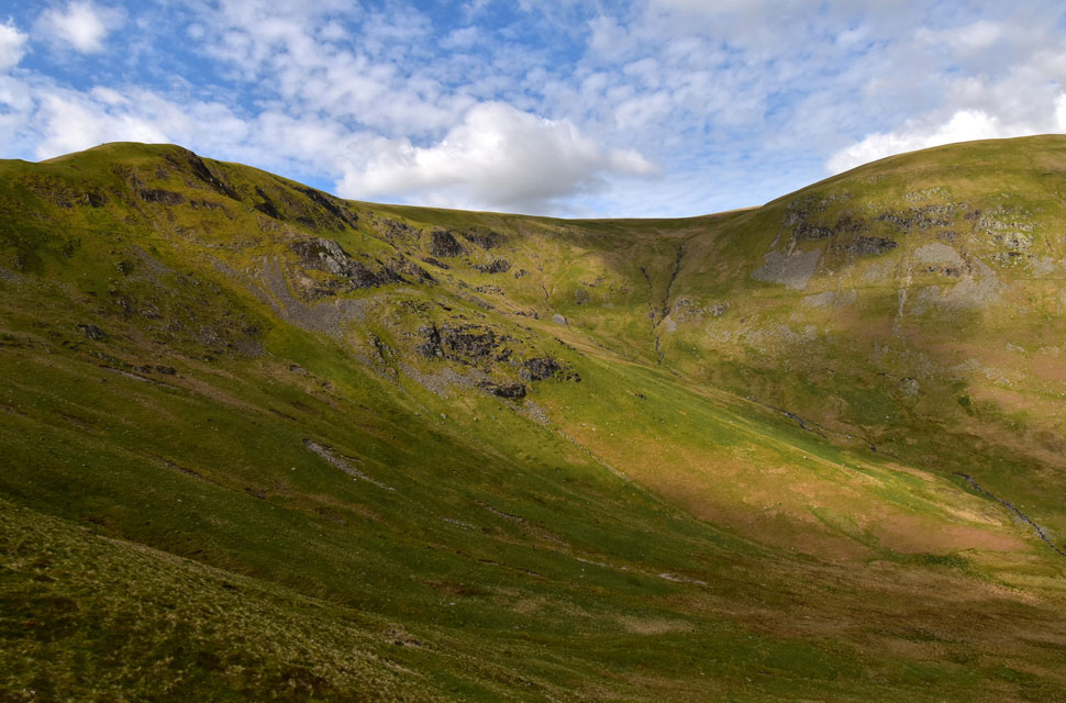
| Glencoyne Head. |
| As the path passes below Glencoyne Head we begin to rise over boulder as we head towards Nick Head. |
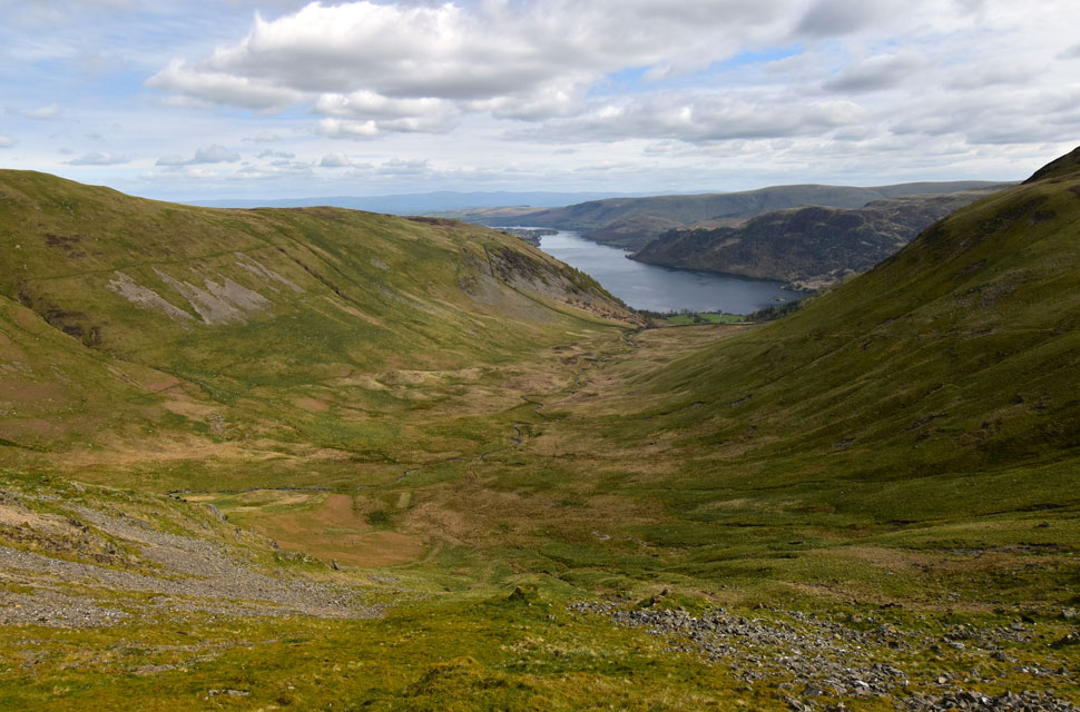 |
| The glacial hanging valley of Glencoyne. |
| With Ullswater beyond. |
 |
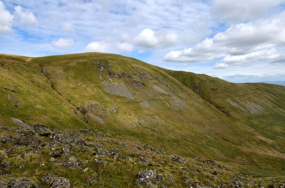
| White Stones again from Nick Head. |
| With the Glencoyne Traverse behind us we descended in afternoon sunshine back to Nick Head where we passed a young girl ascending slowing towards Glencoyne Head, we all felt her pain! |
 |
| Glencoyne Head and Hart Side. |
| We dropped onto a swollen Nick Head before joining the footpath for a descent towards Seldom Seen. |
 |
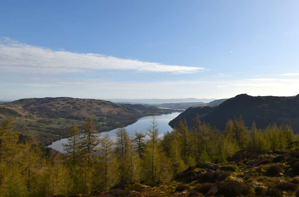
| The Glencoyne Valley. |
| In fabulous Spring sunshine. |
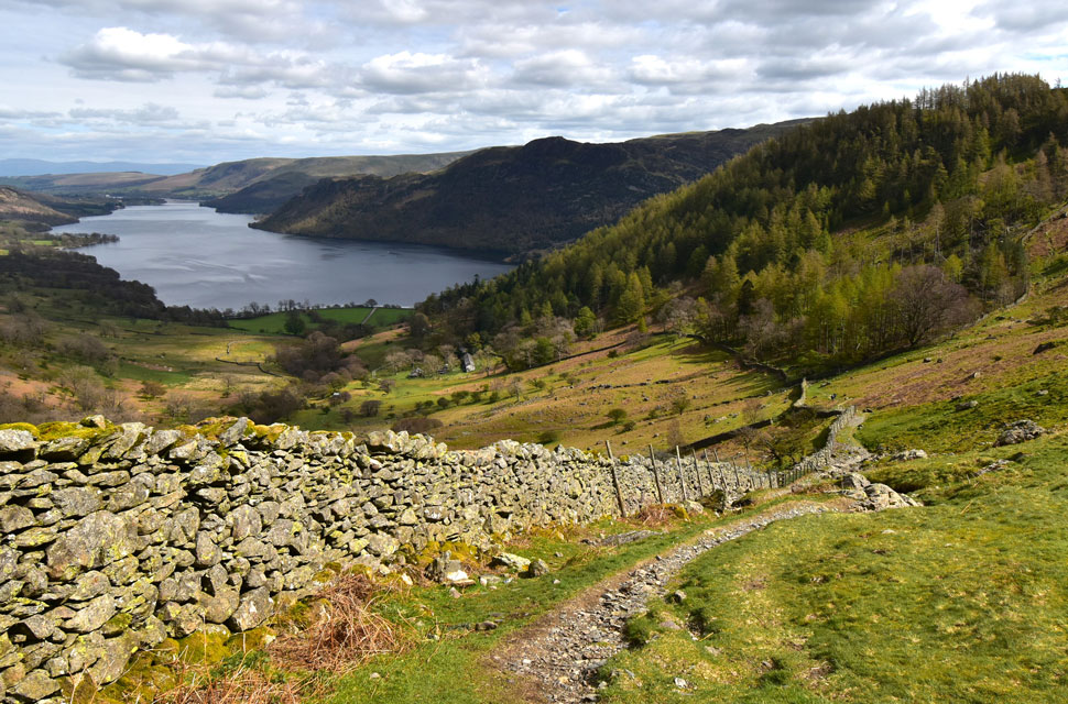 |
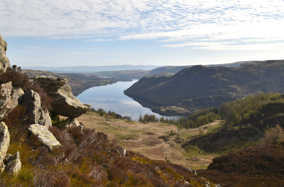
| Ullswater with the cottages of Seldom Seen below. |
We began the narrow descent while relishing the sunshine sleeves rolled up, even managing to catch a suntan in the process. The path, rough at times, eventually levels in the woodland below, where the afternoon sunshine pierced the treeline, scorching foreheads and forearms leaving the afternoon feeling like spring had finally arrived. Seldom Seen came, the old miners cottages now holiday lets, which do not appear to have changed much over the last century are left behind for gravel and tarmac underfoot. We continued our descent as Ullswater sparkled beyond...
A592, where the sound of heavy traffic not helped by Kirkstone Pass being closed brought us back into reality before joining the Ullswater shorepath. Paddleboarders, sailboats, and small yachts broke the waters surface, as did the Ullswater Steamer Western Belle whose passengers sat at the bow enjoying the warm sunshine. Through a canopy of trees, Stybarrow Crag came into view, as did our cars, and surprisingly, there were gaps left to park. Two Sundays ago, I was sitting at home, my frustrations about not being able to get out onto fell reached their peak as I contemplated my walking career and why I put myself through such self-torture. Today I was reminded why. |
|
| |
| Back to top |
 |
|