|
Hope Gill Horseshoe |
 |
 |
16th March 2024 |
 |
|
It would seem that Rod and Michael faced the same difficulties with the wind last weekend on what should have been a traverse of the Dodds via High Rigg, but they were forced to abandon the walk due to the winds and instead, headed over to the less loftier Raven Crag. Rod and Michael didn't give up their Dodd walk and had gone back today. I just hope they weren't affected by the hill cloud we could see from our position on Hopegill Head, which spanned the Dodd ridge from north to south.
I originally walked the Hope Gill Horseshoe as part of my Walking the Birketts project back in April 2018 in similar conditions to those that I had today. It wasn't my first walk from Hope Gill, but I remembered enjoying it so much that I vowed to return. I'd been scratching that particular itch for the last few weeks, yet given how wet and windy it has been, I told myself the walk deserved a better forecast.
Checking the forecast, Saturday looked like the best day, in particular the morning, which should allow me enough time to complete the walk. It was only around 9pm last night that I received a phone call from David, who asked if I would mind having him join me as he'd had a last-minute change of plan, adding that five of the eight summits we'd be visiting today were on a list he compiled that he hadn't walked for over a year. Great, I replied, I'll see you at Hope Gill about 8:00am. |
|
| Wainwright Guide Book Six |
 |
| The North Western Fells |
This ridge has three main summits, of which the central one (and the finest, but not the highest) is known locally as Hobcarton Pike and to the mapmakers as Hopegill Head. |
 |
|
|
|
| |
|
Overview |
|
|
| Ascent: |
2,753 Feet - 839 Metres |
| Wainwrights: |
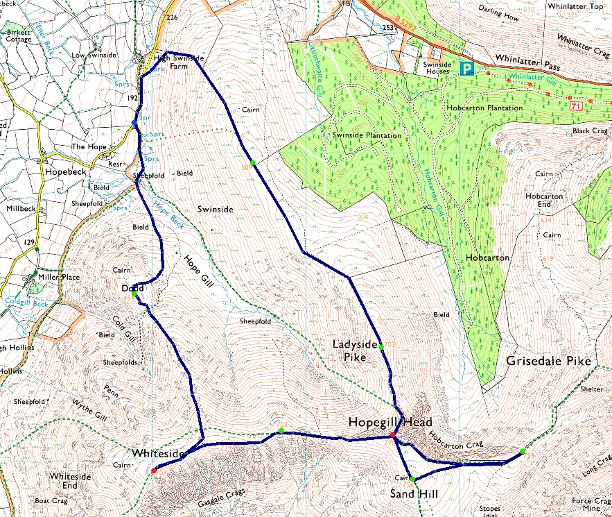
2, Hopegill Head - Whiteside |
| Visiting: |
6, Swinside - Ladyside Pike - Sand Hill - Hobcarton Head - East Top Whiteside - Dodd |
| Weather: |
A Bright Frosty Morning With Lighty Winds Across The Summits. Cloud Building PM. Highs of 8°C Lows of 5°C Freezing Level Above The Summits |
| Parking: |
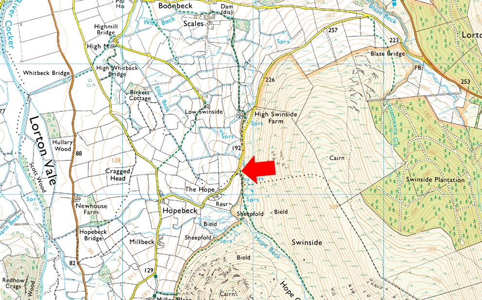
Roadside Parking, Hope Beck |
| Area: |
North Western |
| Miles: |
6.5 |
| Walking With: |
David Hall |
| Ordnance Survey: |
OL4 |
| Time Taken: |
5 Hours |
| Route: |
Hope Beck - Swinside - Ladyside Pike - Hopegill Head - Sand Hill - Hobcarton Head - Hopegill Head - East Top Whiteside - Whiteside - Dodd - Hope Gill - Hope Beck |
|
| |
|
Parking Details and Map |
|
|
| Nearest Post Code: |
CA13 9UA |
| Grid Reference: |
NY 168 924 |
| Notes: |
Found just past High Swinside Farm at Hopebeck there is room for up to four cars but be advised that the lane is narrow with the odd gate to open and close before reaching the parking spaces. Parking here gives excellent access to Hope Beck, Whiteside, Hopegill Head and Ladyside Pike. Parking is free. |
|
| |
|
Map and Photo Gallery |
|
|
 |
| |
| |
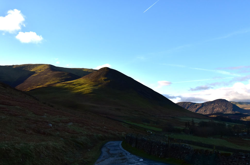 |
| Looking back on Whiteside, Dodd and Mellbreak from Hope Gill 8:05am 5°C |
David had chosen to park his car at Darling How, just off Whinlatter Pass. The last time he parked at Hope Beck, he was forced to reverse the narrow lane for what felt like half a mile to let a car pass. Once the road widened enough for the two cars to pass, he continued back towards Hope Beck, only to have to do the exact same when he met a tractor coming in the opposite direction. Scalded by the events of that day, David informed me that he'd rather walk the mile in than risk going through all that again.
The skies cleared north of Lancaster, and by the time I'd reached the A66 travelling west towards Keswick, the skies were completely cloudless revealing Blencathra and Skiddaw in all their glory. Sadly, it wasn't the same further south where despite blue skies a cloud inversion shrouded the Borrowdale Fells, but I was sure it would lift at some point. The Hope Beck valley was shaded by low sun which hadn't climbed high enough to let the light penetrate the valley but we knew once the Swinside Ridge was gained, we'd be in direct sunlight.
David was already there when I arrived at the empty parking spaces, and not wanting to keep him waiting any longer, I kitted up as quickly as I could while remembering to check that I'd packed everything. It was a frosty start, which could have potentially caused the flooded road surface to freeze. We encountered the odd frozen puddle as we walked back up the lane towards the gate from where the steep ascent on Swinside begins. |
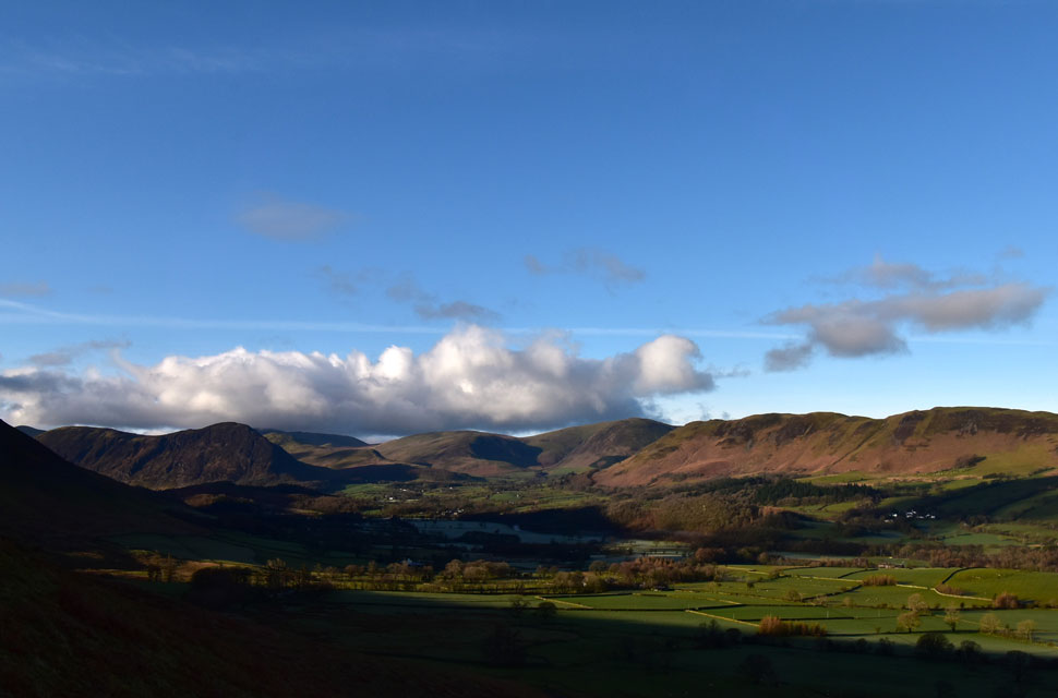 |
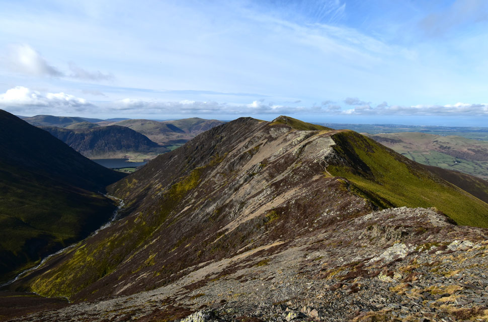
| Views over Lorton Vale towards Mellbreak, Hen Comb, Gavel Fell, Blake Fell and Low Fell. |
| |
 |
| Ascent on Swinside. |
| The steep ascent started from the road and continued for another 490ft until the first shoulder of the fell was reached while being watched by a curious sheep further up the fell side. |
 |
| Phew,,,in the sunshine now! |
| Here as we take in the views towards the Lord's Seat Fells on the other side of the Whinlatter Pass. |
 |
| Incredible cloud drama from Swinside. |
| That's Grisedale Pike over on the left about to be engulfed by the same cloud inversion I'd seen over Borrowdale earlier. It would seem the inversion has advanced northwards, having already claimed Skiddaw; the Lord's Seat Fells would be next, while it's uncertain at this point if the cloud will claim Hopegill Head too. |
 |
| Cloud inversion creeping up on the Lord's Seat Fells. |
| |
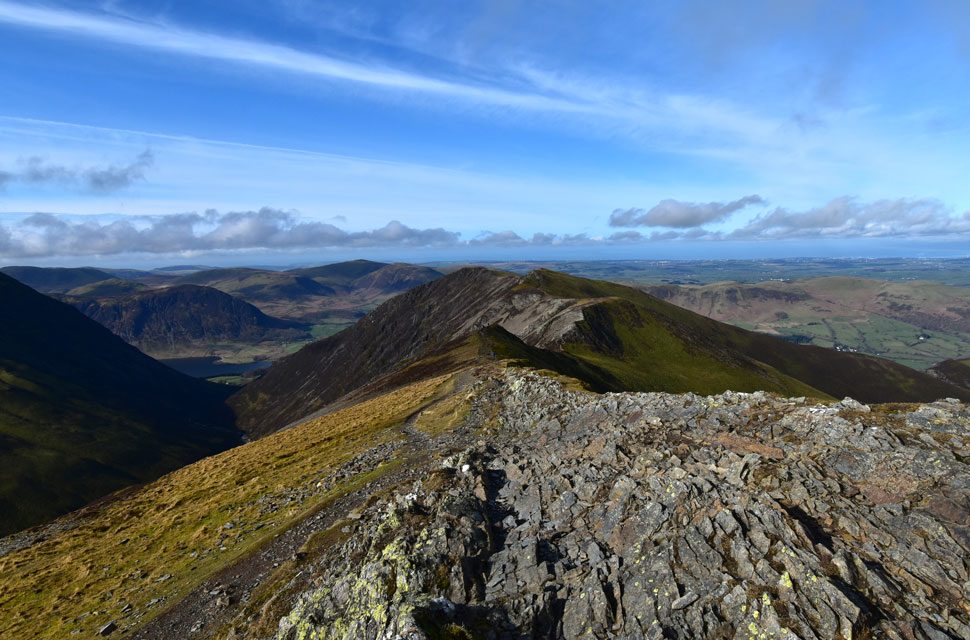
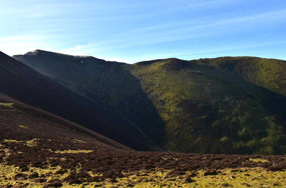 |
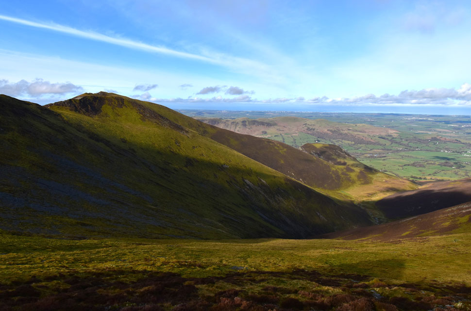
| Views into Hope Gill with Hopegill Head seen left and Whiteside, far right. |
| For now the inversion remains at bay mainly affecting summits north east of our position. |
 |
| We look back on Swinside. |
| As we begin the steady ascent on Ladyside Pike. |
 |
| Views over the Hobcarton valley towards the Lord's Seat Fells. |
| With Hobcarton End seen over on the right. |
 |
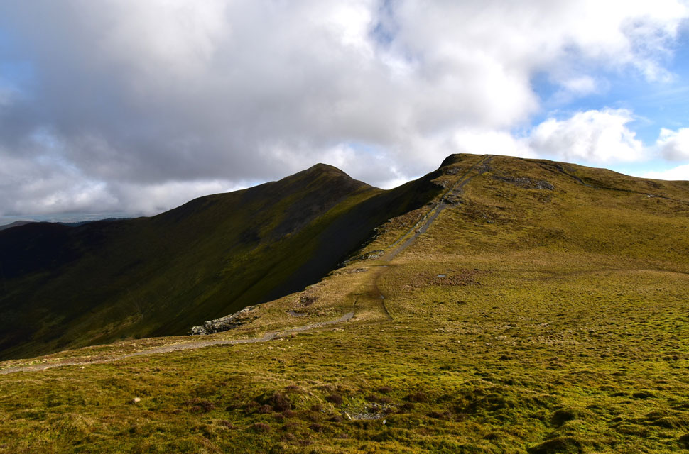
| Hopegill Head from Ladyside Pike. |
| Uncertainty still threatened our hopes of having a cloud-free summit. As we summited Ladyside Pike, Hopegill Head remained clear, but the cloud was so close it was touch and go if we'd get a cloud free summit. |
 |
| Views over the Hope Beck valley towards Whiteside on the left and Dodd lower right. |
| |
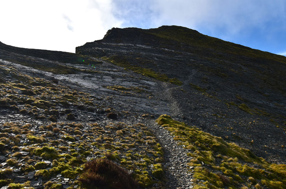 |
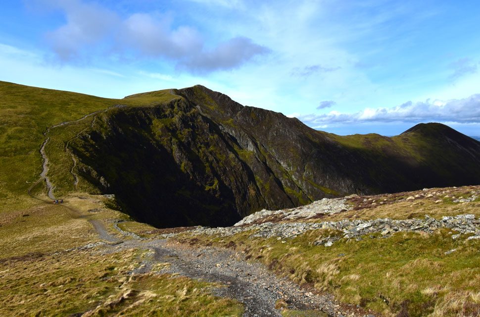
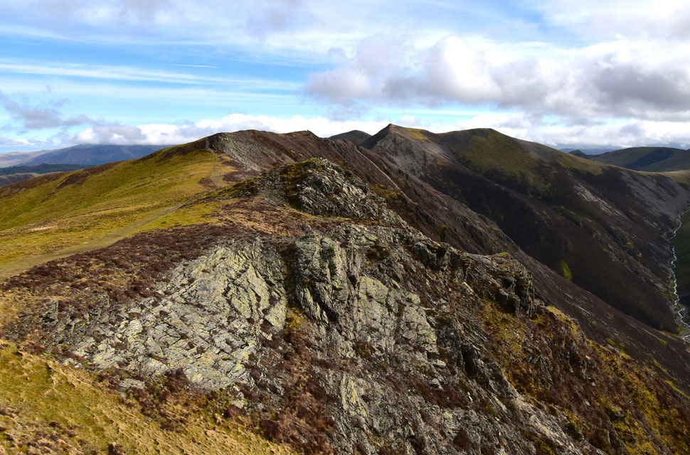
| Rock slab below Hopegill Head summit. |
| There are two rock grooves directly below the summit to ascend by; alternatively, a path breaks right before weaving its way through heather and the odd rock step. Given the low temperatures, we knew the rock would be like glass and opted to break right further up the path. |
 |
| Great views back on Ladyside Pike and Swinside. |
| |
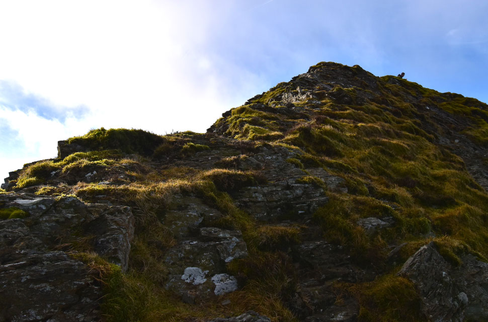 |
| Last push below the summit. |
| Watched by an audience of one we ascended the final 60ft via a series of grass ledges, the rock was coated with verglas (thin layers of ice) and was avoided at all cost. |
 |
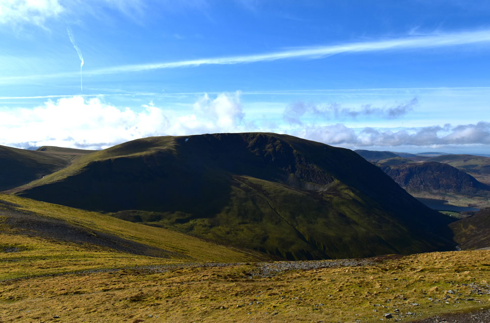
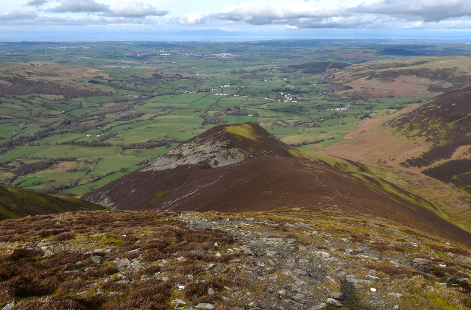
| Whiteside from Hopegill Head. |
| This was the view I'd waited so long to see, infact it was June 2019 since I was last here! |
 |
| Wandope, Grasmoor and Mellbreak from Hopegill Head summit. |
| We reached the summit, and to be honest we were glad to have the rock slab behind us. We swapped pleasantries with the chap who had watched our ascent, but for one reason or another, we could tell he wasn't in the mood for conversation, and within minutes of arriving, we'd set off for the short yomp to Sand Hill. |
 |
| Sail, Crag Hill (Eel Crag) and Wandope seen across Coledale Hause. |
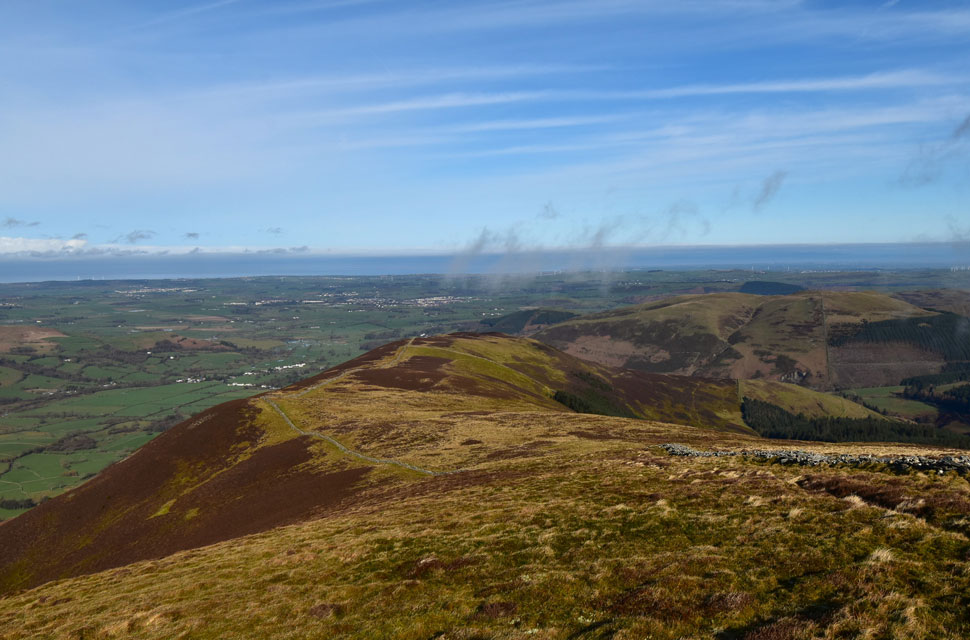
Within a few minutes we'd arrived at Sand Hill, from where we could see around half a dozen walkers on Grisedale Pike and further down half a dozen more descending towards Hobcarton Head. The wind had picked up, causing me to put my beanie back on and slide my hands into a pair of gloves.
We felt incredibly lucky that so far we had escaped the inversion which was beginning to break up north-east of our position while to the south, the skies were darkening with high-level cloud. We decided to head over to Hobcarton Head from where we'll access the cloud and decide if we're to include Grisedale Pike.. |
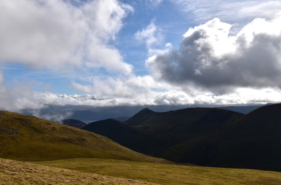 |
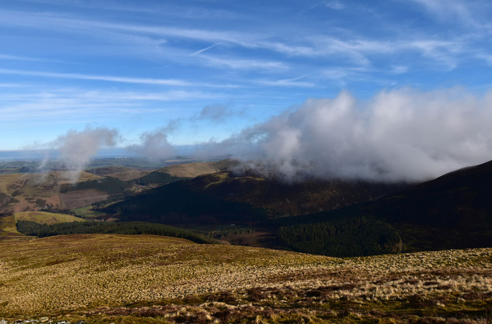
| Views Eastwards beyond Outerside and Causey Pike. |
| It appears that cloud has descended on the Dodd ridge, leaving for now the Great Dodd barely visible. We hoped that Rod and Michael had been lucky enough to look down on the inversion instead of being enveloped in it. |
 |
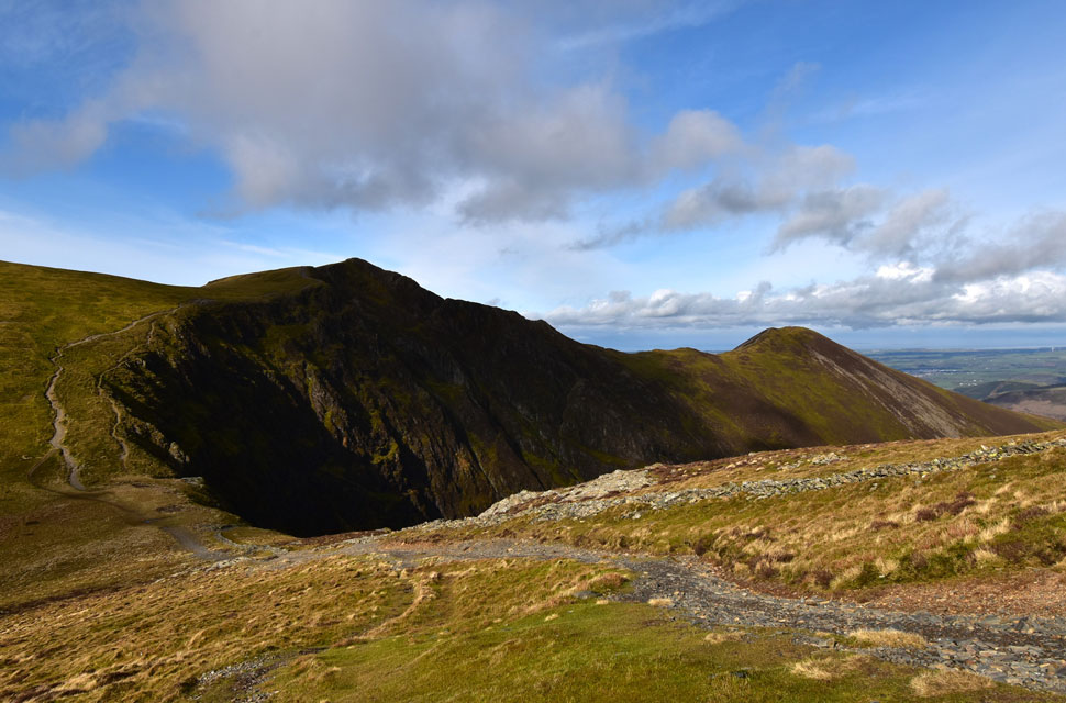
| Hobcarton End and Grisedale Pike. |
| We made a pathless descent where David seemed to be lost in thought, he later admitted that he was just relishing just how quiet the fells felt this morning. |
 |
| Looking back on Hopegill Head and Ladyside Pike. |
| |
 |
| Grisedale Pike from Hobcarton Head. |
| Right on queue, the cloud thickened as we summited Hobcarton Head from where we chose the prospect of a bright and clear ridge walk over summiting Grisedale Pike. |
 |
| Heading back towards Hopegill Head. |
| As you can see the brighter of the weather is towards the north west. |
 |
| Would you adam and eve it. |
| By the time we arrived at Hopegill Head the cloud had cleared, allowing the sunshine to beam down on Grisedale Pike, but there was method in our madness. We could see that the forecasted afternoon cloud was on its way, and had we summited Grisedale Pike, we would have missed out on the great views we were about to have over the Whiteside ridge. |
 |
| Just like this one. |
| For the second time this morning we had fantastic views along the Whiteside ridge. |
 |
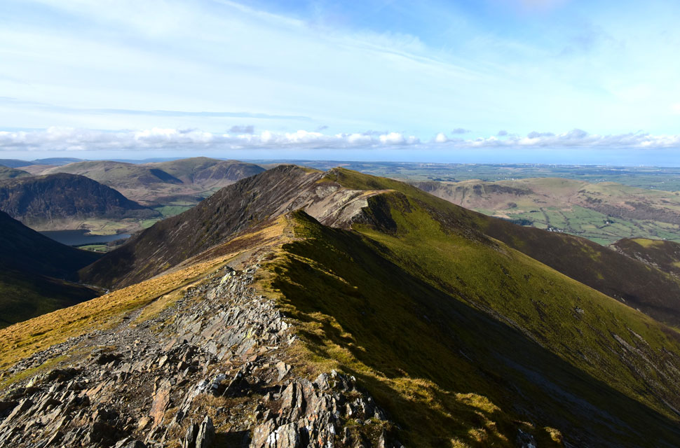
| Here looking towards Whiteside summit at the end of the ridge. |
| With Gasgale Crags and Gasgale Gill below. |
 |
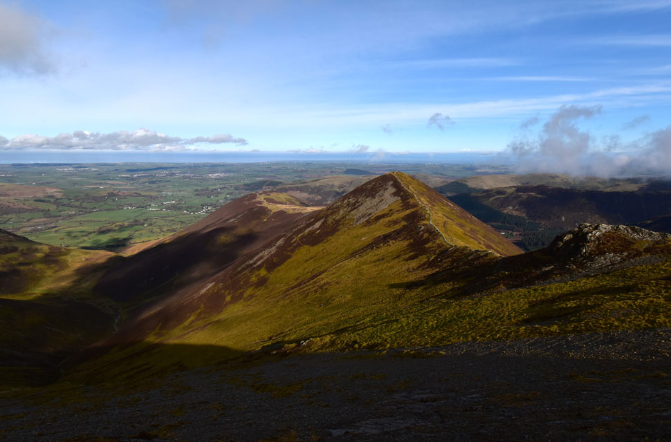
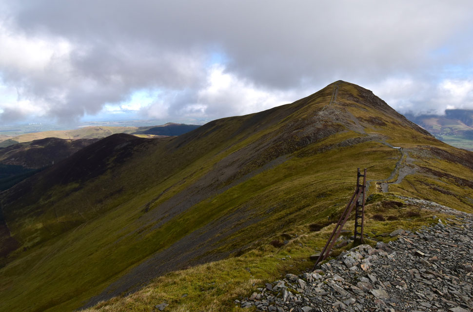
| Looking back on Grisedale Pike, Hopegill Head and Sandhill. |
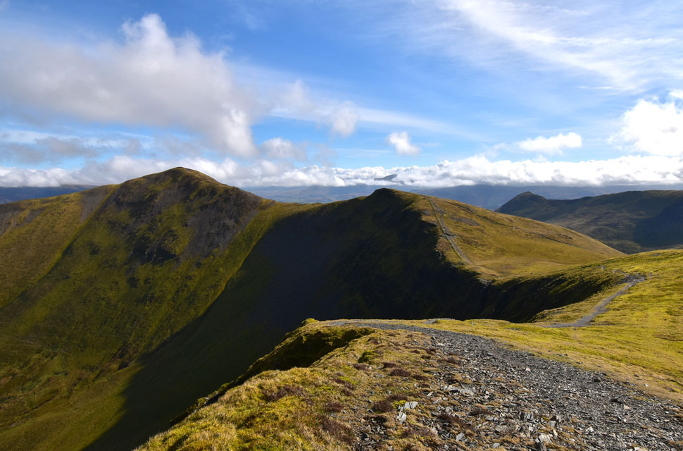
| The rock we encountered along the ridge was covered in verglas, just as we had encountered on the rock slab below Hopegill Head, and extra care was required when negotiating the ridge, especially the rocky area seen centre left. |
 |
| Looking back on the Whiteside Ridge towards Grisedale Pike, Hopegill Head, Sandhill and in the distance, Scar Crags and Causey Pike. |
| We were passed by a chap and his son followed by an older group then a trio of fell runners who left back along the ridge as we crested the summit. The sun was still shining but the breeze had a chill to it and for now, beanie and gloves remained on. |
 |
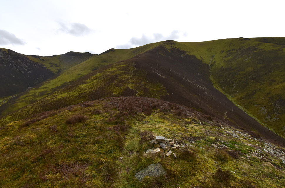
| Descending the Whiteside to Dodd ridge. |
| From the summit we tracked back about quarter of a mile where the ridge passes over a rocky outcrop where the path falls to the left to meet with the Dodd ridge. A great path then weaves its way down steeply in places towards the rock strewn south flank of Dodd seen below. |
 |
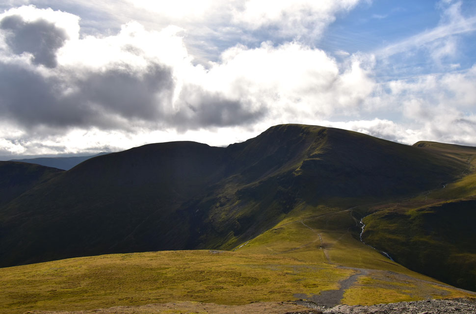
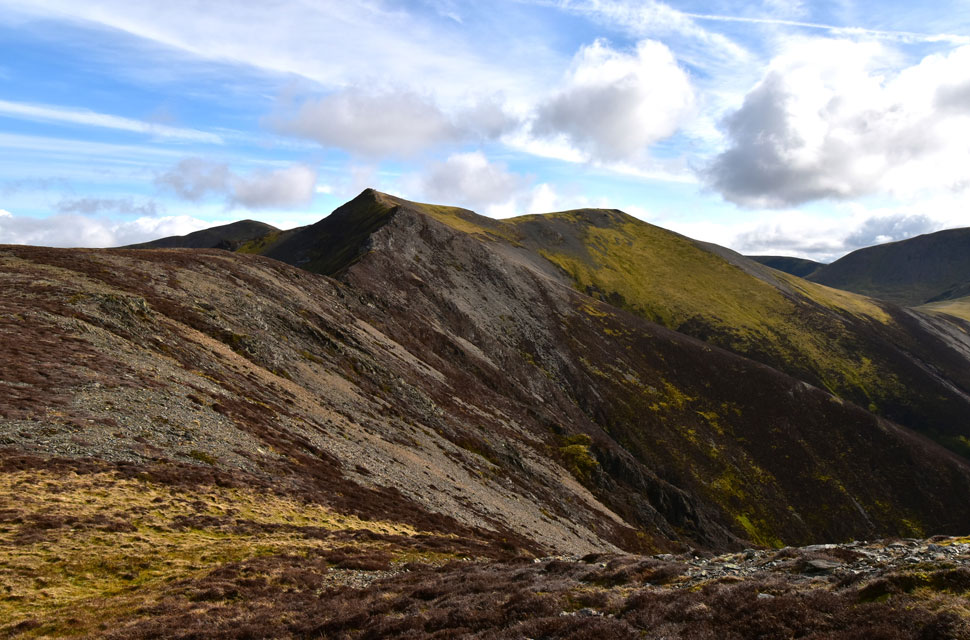
| Hopegill Head and Whiteside from Dodd. |
| After the steep descent of the Dodd ridge I kicked my feet into the backs of my boots ready for final and steep ascent of the day on Dodd. |
 |
| Ladyside Pike and Hopegill Head from Hope Beck. |
We had spotted a pair of walkers descending the Dodd ridge from the summit cairn and although they were a good twenty minutes behind us we decided to leave choosing our line of descent between the two summit outcrops before arriving on a narrow path on the steep flank of the hillside. I could see my car now, and beyond the Solway Firth, Criffel.
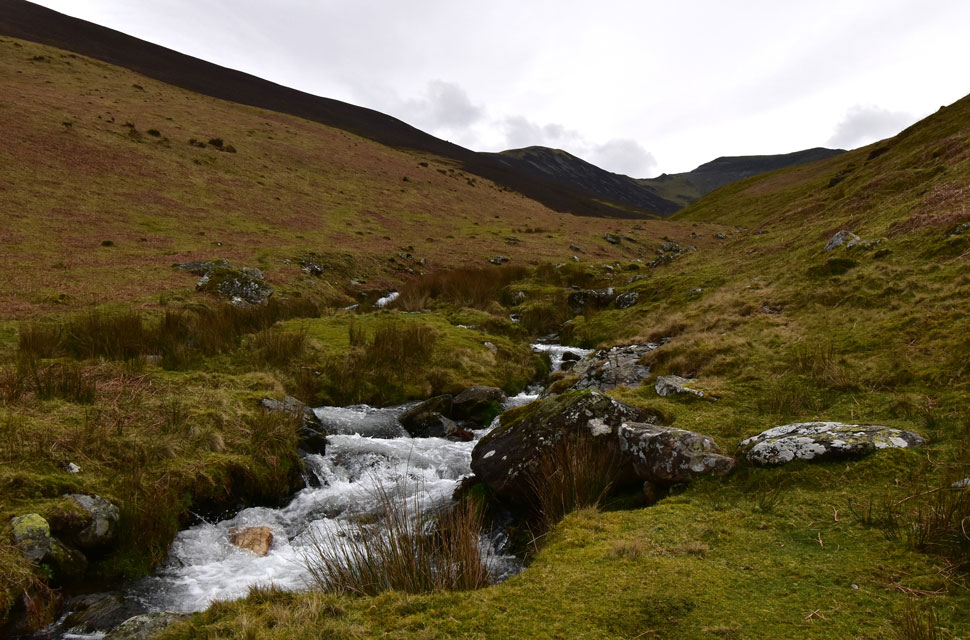
The wind had dropped, and any extra layers were removed as the gradient eased through an obvious path, which in a couple of months will be lost to the bracken. Continuing descent to the sound of Hope Beck, whose origins begin below the summit of Hopegill Head which by now was set against the grey of a pastel sky. |
|
| |
| Back to top |
 |
|