Nab Scar to Stone Arthur from Rydal

24th February 2024

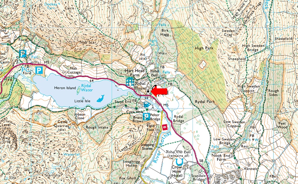
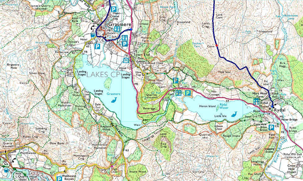
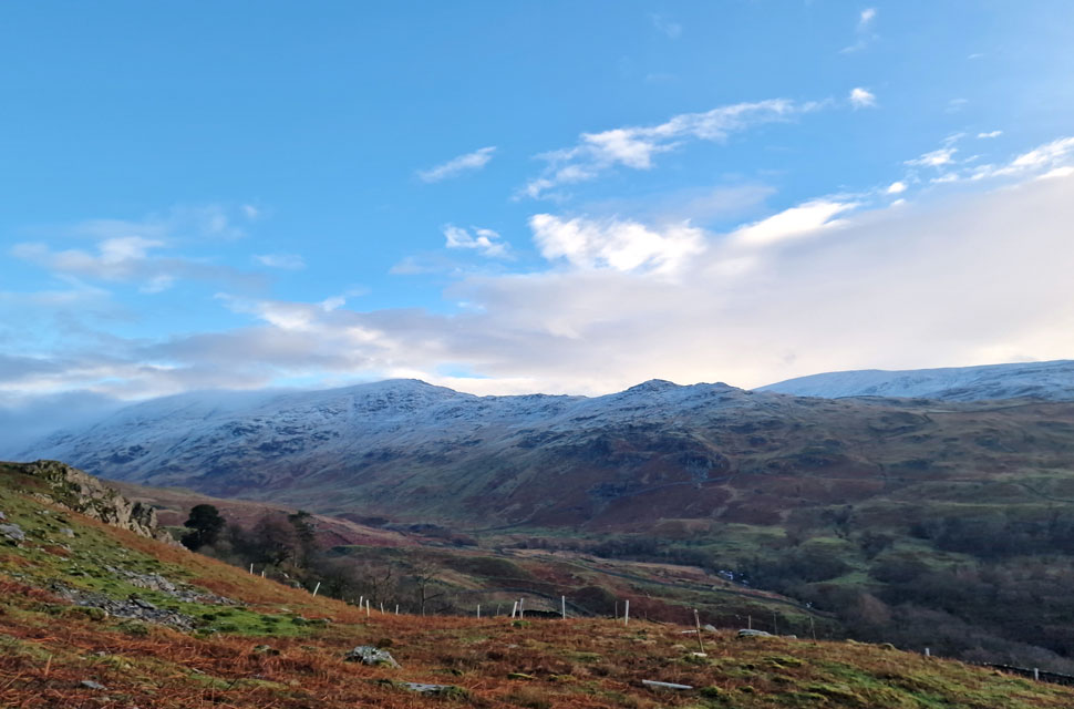
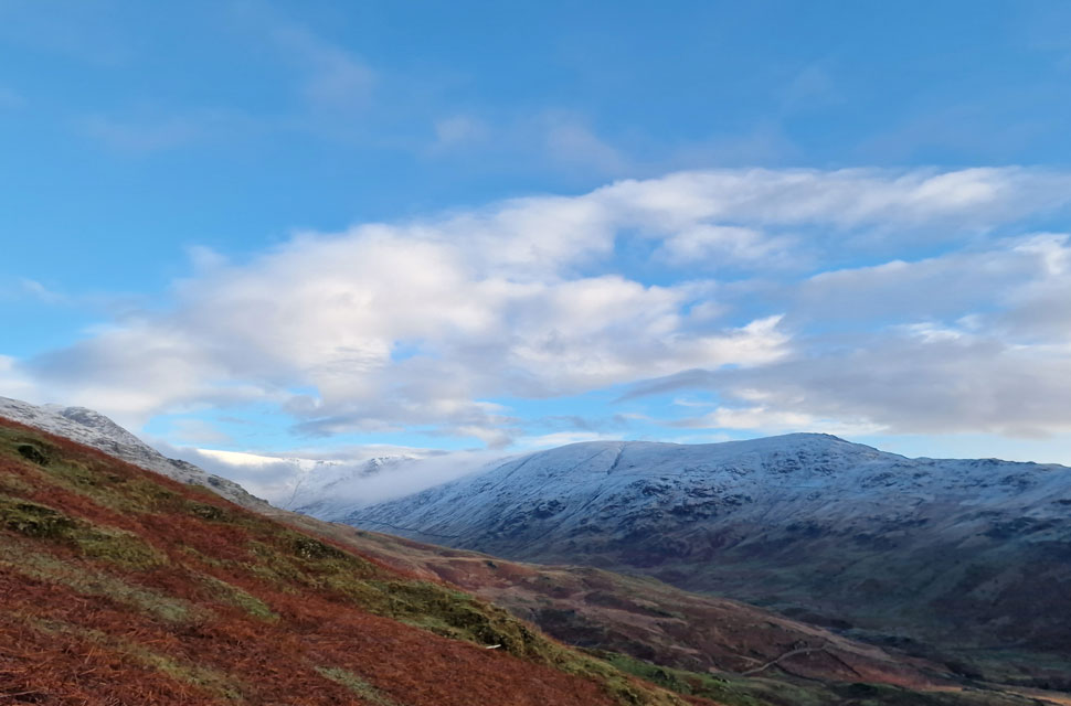
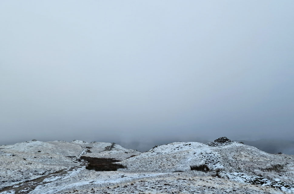
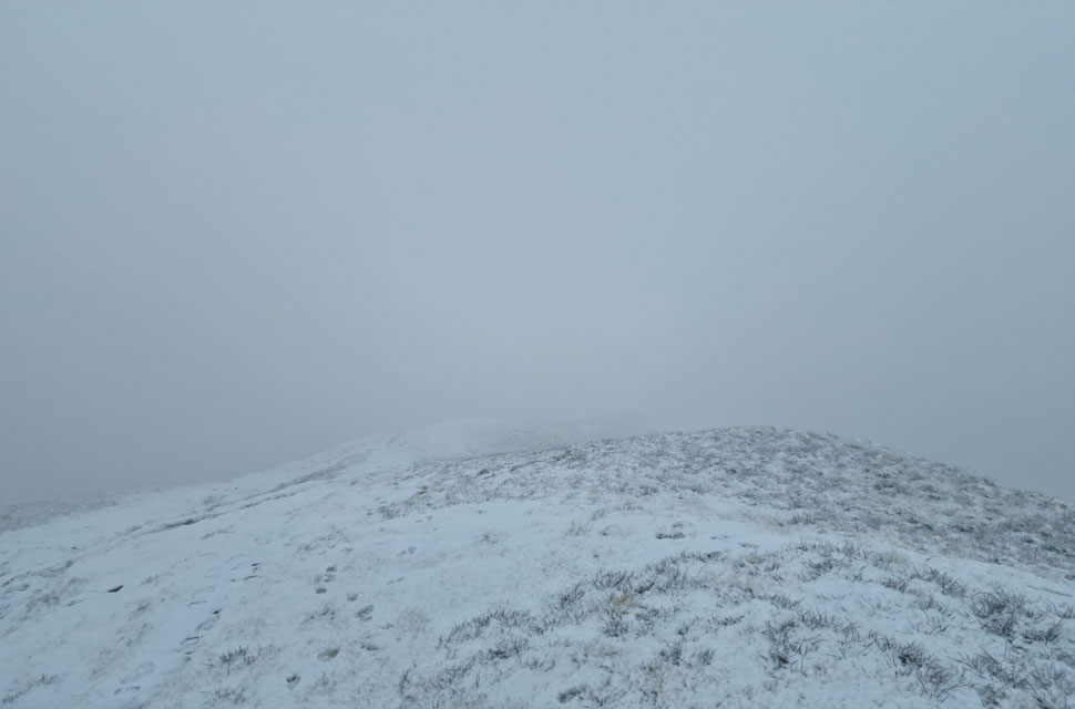
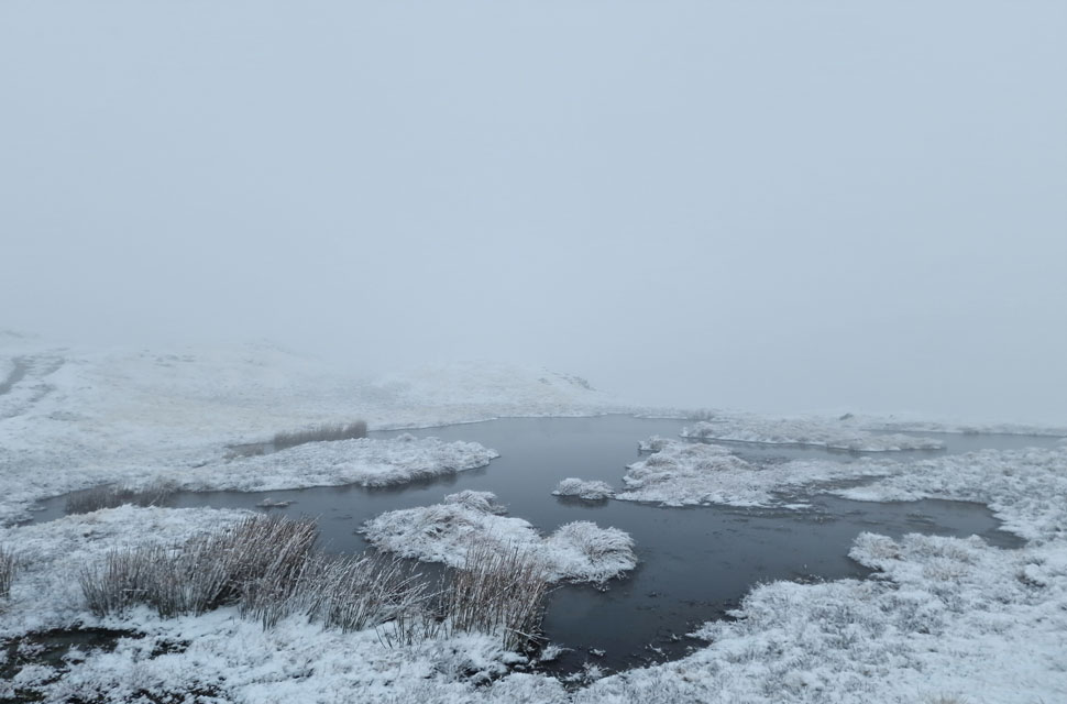
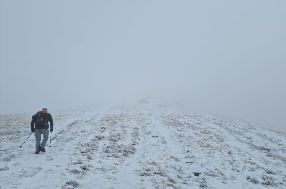
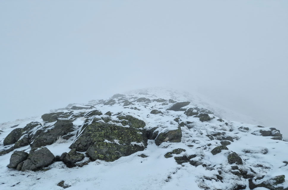
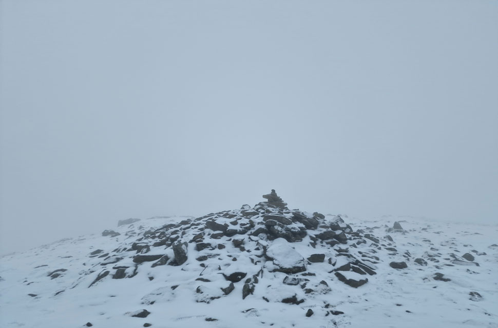
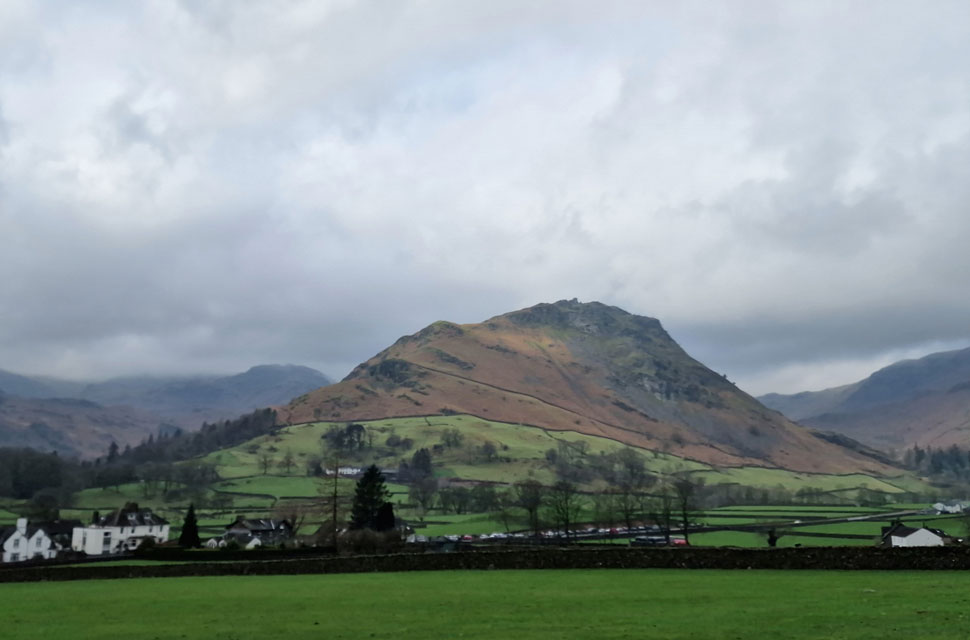
We had set our sights on our first big walk of the year, the Fairfield Horseshoe, which David had been intending to do for some months but never got around to. Thursday evening brought snow to the highest Lakeland fells, which included Fairfield and well below. We had a green light forecast from midweek and had arranged to start from Rydal, where parking is stricter than it used to be so the plan was to leave two cars parked in the lay-by outside Grasmere and jump into one car which will be left at Rydal. I left home under starry skies, and even though I knew it wouldn't be quite as clear in Lakeland, my heart dropped when I saw how thick the cloud was over Lakeland from as far away as Lancaster. By the time I'd reached Ambleside, it had begun to rain, and by the time I'd parked up outside Grasmere, it was pouring it down. 

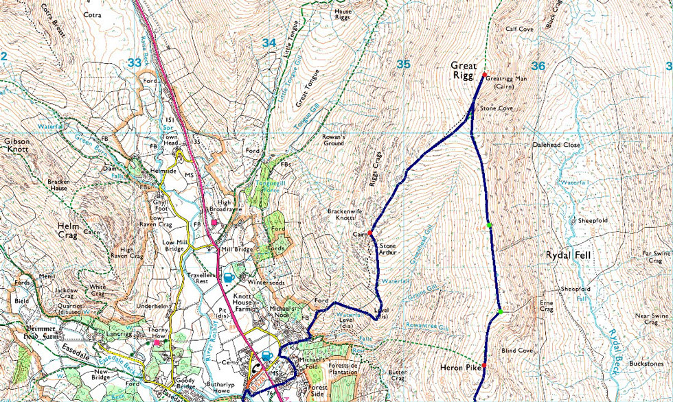
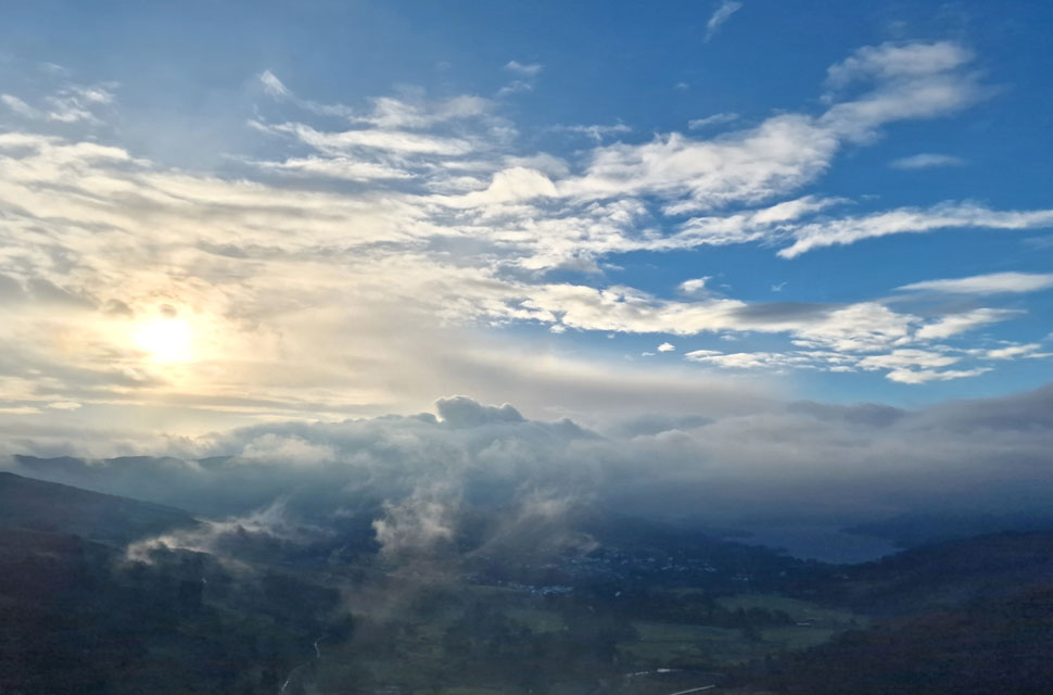
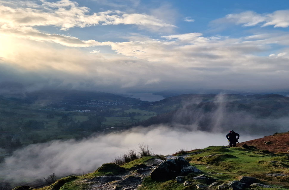
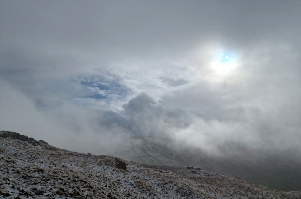
The frustration of yet another incorrect forecast poured out of me as I waited for David and Rod to arrive, and once they did, we discussed our options while the rain poured down the windscreen. I had a good wi-fi signal, and the Met Office confirmed what lay ahead: rain and fog, two of the worst conditions. Why this couldn't have been forecasted last night is beyond me at a point when it shouldn't really be called a forecast any longer, more like a present cast which is no use to anyone. We all agreed to continue with our planned walk; after all, if the weather gets worse, we can always duck out from Great Rigg or even Fairfield.

 
Wainwright Guide Book One
The Eastern Fells

Nab Scar is well known. Its associations with the Lake Poets who came to dwell at the foot of its steep wooded slopes have invested it with romance, and its commanding position over looking Rydal Water brings it to the notice of the many victors to that charming lake.


Overview
Ascent: 2,424 Feet - 739 Metres
Wainwrights: 4, Nab Scar - Heron Pike - Great Rigg - Stone Arthur
Visiting: 2, Erne Crag - Rydal Fell
Weather: Light Rain & Sunny Spells to Start. Hill Cloud Descending to 450Mtrs With 2-4cm Snow Underfoot. Highs of 7°C Lows of 4°C Feels Like -2°C
Parking Using x2 Cars: Lay-by A591 Outside Grasmere - Roadside Parking, Rydal Church, Rydal
Area: Eastern
Miles: 6.5
Walking With: David Hall & Rod Hepplewhite
Ordnance Survey: OL5
Time Taken: 4 Hours 30 Minutes
Route: Rydal Mount - Nab Scar - Heron Pike - Erne Crag - Rydal Fell - Great Rigg - Stone Arthur - Greenhead Gill - A591 - Grasmere - A591
 

Parking Details and Map Lay-by Outside Grasmere
Nearest Post Code: LA99 2RF
Grid Reference: NY 340 081


Parking Details and Map Rydal Mount
Nearest Post Code: LA22 9LR
Grid Reference: NY 364 706
Notes: The roadside parking at the side of Rydal Church has always been a very popular place to start your walk especially those walking the Fairfield Horseshoe of visiting Loughrigg Fell, Rydal Hall and Rydal Tarn. There once was room for up to twenty cars plus but this was limited after Storm Desmond during the Winter of 2015 when the road and the drains where damaged resulting in limited parking. If you arrive early you shouldn't have any problems parking but if left late you may struggle. At the side of the Church there is an Honesty Box.


Map and Photo Gallery


Nab Scar 8:30am 7°C

After leaving my car at Grasmere, we drove to Rydal in Rod's and managed to grab the last parking spot, all be it by the side of a very large pothole. It was still raining as we kitted up, but it had slackened off, and through cloud the grey-blue sky was starting to appear. With that, we decided not to add waterproof over-trousers for now. Groups of walkers were passing, no doubt walking the Fairfield Horseshoe just as we were.

Once kitted up, Rod locked his car as we began the steep push towards Hart Head Farm (now holiday cottages), passing Rydal Mount along the way. By now, it had stopped raining, and water was now draining over an already heavily eroded footpath. It was only when we started to gain some height did we realise that the skies were clearing, revealing blue skies all around. We couldn't believe our luck.


Looking across the Rydal valley towards High and Low Pike with the Snarker Pike ridge beyond.
The further we ascended the clearer it got and it looked like we were back on track for completing the horseshoe.

Views over Ambleside towards Wansfell Pike and Windermere.
 

Including this miniature cloud inversion over Rydal Water.
That's Rod searching for the wipe cloth to wipe his glasses, he thought he'd left it back at the car but after a rugged search he eventually found it.

Sunshine over Link Hause.
You wouldn't think half an hour ago it was pouring down would you.

Looking back on Nab Scar.
As quickly as the blue skies arrived they were overtaken by a thick layer of stagnant cloud which had drifted in from the west. With little to no wind this cloud was going no-where. Damn it.

Looking north from Heron Pike summit.

We left Nab Scar and ascended into cloud so thick at times our visibility was down to twenty or thirty metres at best, on the plus side without the wind it was eerily quiet other than the sound of Rydal Beck in the valley below.

By now we'd come to the unanimous decision to call the horseshoe off and instead head for Great Rigg and return via Stone Arthur, given the conditions it was an easy decision to make but that didn't mean it didn't leave a bitter after taste.


Small pool found between Erne Crag and Rydal Fell.
It was along here we were over taken by three young lads one of whom was wearing a T-shirt, aye it was calm and despite feeling mild(ish) I still wouldn't say it was T-shirt weather.

Ascent on Great Rigg.
David was on form today finding his walking legs very early into the walk at times Rod and I struggled to keep up.

Not too far from the summit now.
We'd been over taken by the young lads earlier and was surprised to find how many people were heading from Great Rigg

Great Rigg summit.
Visibility down to twenty metres or so.

Skies temporarily clearing.
We left Great Rigg and joined the grassy ridge towards Stone Arthur from where we were able to watch the cloud lift away from Rydal Fell revealing pockets of blue skies beyond, although no one spoke of it I'm sure we shared the same sick feeling in the pits of our stomachs. To eradicate this, as quickly as the cloud lifted it returned.

Alcock Tarn seen after summiting Nab Scar.
We were back in the cloud as we crested Nab Scar arriving at the same time a couple were ready to leave and 'mornings' were shared.

Making our descent back to Grasmere with views of Helm Crag.
 

Helm Crag.
 

Spring time.

We stopped for an early lunch above Greenhead Gill were it was pleasantly mild to sit and enjoy the views and people watch as they made their way towards Stone Arthur. The blue skies never really returned as we packed up lunch and began our final descent towards Grasmere first passing the rapids of Greenhead Gill flanked by luxury cottages on both sides where we noticed a few trees had began to bloom flowers which seemed early for February. The plan was to return to Rydal by the Coffin Route but given the likelihood of more rain we decided to join the crowds and head into Grasmere instead.

Grasmere was as busy as expected which was great from a business point of view but not so great if your not fans of crowds. We hooked a left at Sam Read's book shop and another just before St Oswalds church instantly leaving the hustle behind in favour of the soothing sound of the Rothay. Cloud had descended onto Nab Scar's summit now and despite feeling bitter about the forecast we all agreed we'd done right thing. The Fairfield Horseshoe certainly deserved better than the conditions we'd been dealt today.


Back to top