|
Caw Fell from Cold Fell Road |
 |
 |
13th May 2023 |
 |
|
It had been a mixed week for the Lakeland fells but both Friday and Saturday looked like great walking days. I was going to head to Great Langdale and walk Esk Pike and Bow Fell from Old Dungeon Ghyll when Rod emailed midweek suggesting a walk that had been on the cards for the last few months, Caw Fell from Cold Fell Road.
The walk would also include the Wainwright summits of Grike, Crag Fell, and Lank Rigg and the Birkett summits of Iron Crag (Ennerdale Fell) and Whoap. All of the above being fells I haven't visited in some cases for up to seven years, to say a return to these fells was overdue would be an understatement. One of the things that swayed it for me was the two and a half miles (each way) out and back to collect Caw Fell via the delightful Ennerdale Fell, commonly known as the Ennerdale Wall.
Not only were we walking favoured, isolated fells, but we were lucky enough to experience the breakup of a cloud inversion over Ennerdale topped off with warm sunshine. What more could we have asked for from a fell walk. |
|
| Wainwright Guide Book Seven |
 |
| The Western Fells |
| |
 |
|
|
|
| |
|
Overview |
|
|
| Ascent: |
2,883 Feet - 878 Metres |
| Wainwrights: |
4 Grike - Crag Fell - Caw Fell - Lank Rigg |
| Visiting: |
3, Caw Fell West Cairn - Iron Crag (Ennerdale Fell) - Whoap |
| Weather: |
A Bright Start With Localised Cloud Building Around Midday. Sunshine Returning For The Latter of The Walk. Highs of 19°C Lows of 10°C |
| Parking: |
Roadside Parking, Cold Fell Road |
| Area: |
Western |
| Miles: |
12.6 |
| Walking With: |
David Hall & Rod Hepplewhite |
| Ordnance Survey: |
OL4 |
| Time Taken: |
7 Hours |
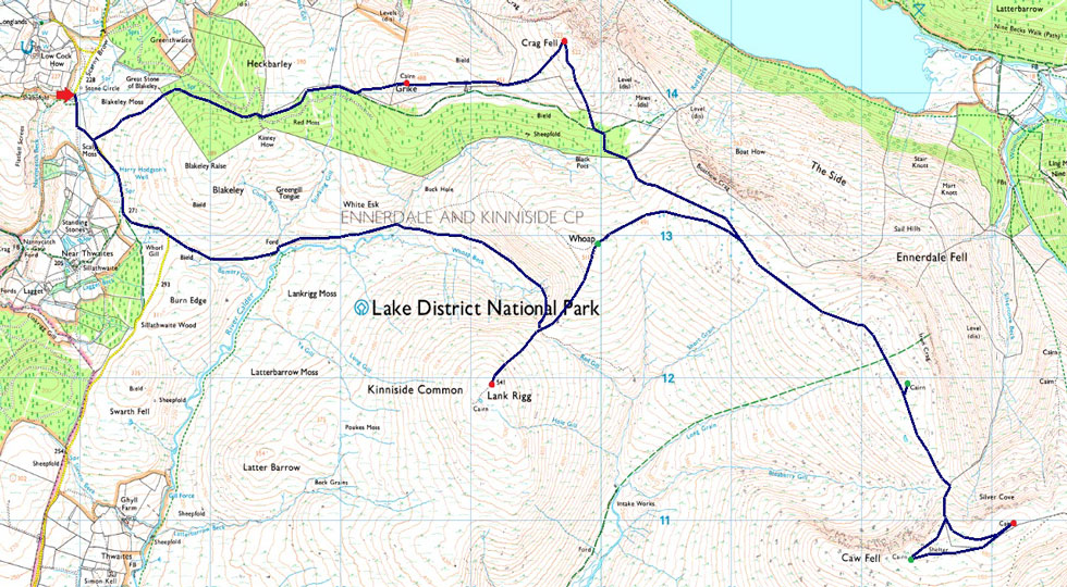
| Route: |
Cold Fell Road - Blakeley Moss - Red Moss - Grike - Crag Fell - Black Pots - Iron Crag (Ennerdale Fell) - Caw Fell - Iron Crag (Ennerdale Fell) - Whoap - Lank Rigg - Whoap Beck - Cold Fell Road |
|
| |
|
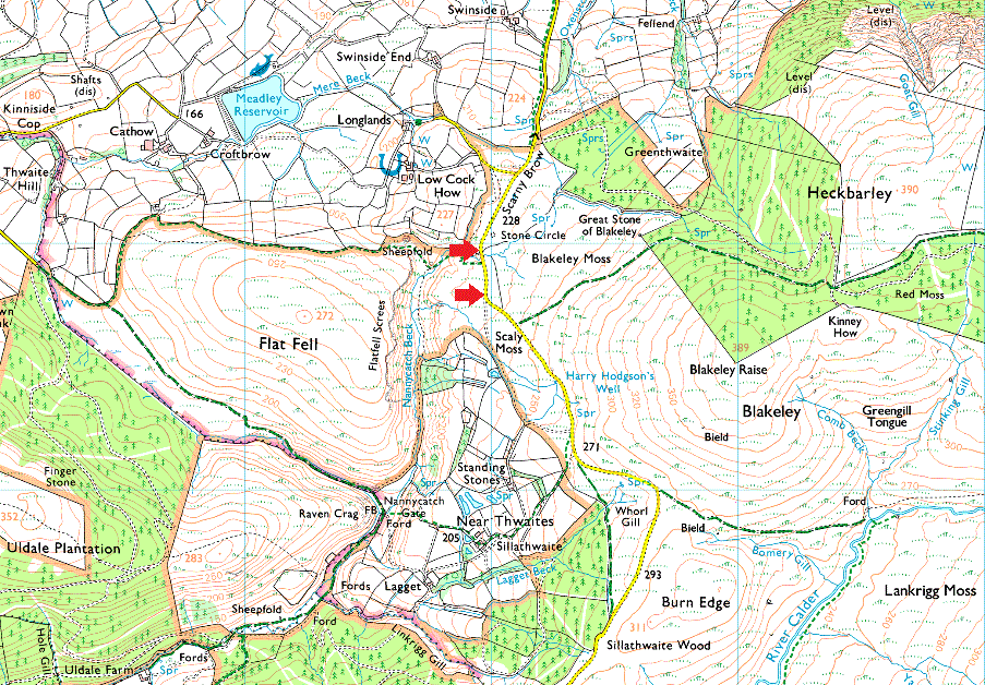
Parking Details and Map |
|
|
| Nearest Post Code: |
CA22 2PF |
| Grid Reference: |
NY 059 713 |
| Notes: |
Found just under two miles south of Ennerdale Bridge the roadside parking on Cold Fell Road offers access onto the popular Grike, Crag Fell and Lankrigg with Flat Fell and Kinniside Stone Circle close by. There is room for up to seven cars and parking is free. |
|
| |
|
Map and Photo Gallery |
|
|
 |
| |
| |
 |
| Hazy views towards Herdus, Anglers Crag, Crag Fell, Starling Dodd, Red Pike (Buttermere) and High Stile from Ennerdale Bridge. |
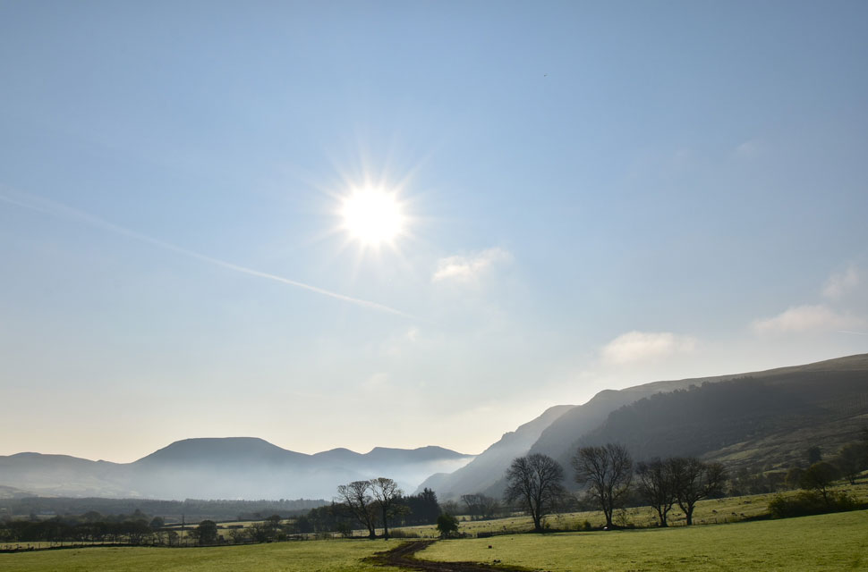
The moon and stars were still out when I left home this morning, and I witnessed a beautiful sunrise, but as I drove towards Tebay, I could see that cloud was lingering just above the Howgill fells, which thickened the further north I drove. Tim was running his 50th Ultra Marathon today on a race called 'The Lap' which circuited Windermere from where Tim had sent me images of a layer of mist over the waters surface, it would seem Windermere had escaped the worst of the cloud.
I left the M6 at Penrith and drove west below Blencathra, where I spotted pockets of clear blue sky above, it was a cloud inversion and one that hadn't been forecast. The further west I drove, the more the cloud broke, and by the time I'd reached Ennerdale Bridge, the cloud had been replaced by blue skies and direct sunshine, although there were still localised pockets of cloud I wondered if we could gain height quick enough, we might be above the inversion before it broke up. |
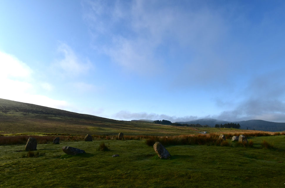 |
| Blakeley Rise Stone Circle. |
| While waiting for David and Rod to arrive, I took a walk around Blakeley Raise (Kinniside Stone Circle), whose origins date back to the Bronze Age; however, the stone circle was dismantled by a local farmer sometime during the eighteenth century and reused as gate posts. In 1925, the stone circle was reconstructed by Dr. Quinn of Frizington; however, it is not known how accurate the reconstruction was. |
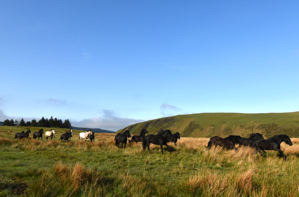 |
| Who's gonna ride your wild horses - Cold Fell Road 08:15am 10°C |
David arrived soon after myself, and we began to lace up, noting that for the first time this year I was wearing shorts and a T-Shirt although I might add that I also added a fleecy hoodie just to take the edge off.
Rod arrived next, and soon we were ready to leave, which was when we heard galloping followed by a faded quad bike engine in the distance, which seemed to be getting closer. It was just half a dozen horses at first, which were a great sight, but more appeared, and before we knew it, we had ringside seats watching the horses being corralled by the famer. What a great start to the walk. |
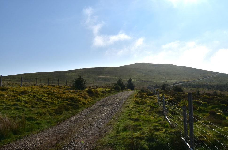 |
| Grike appears from the Foresty Track. |
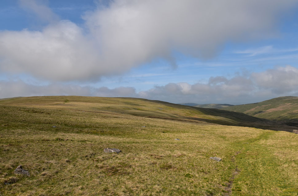
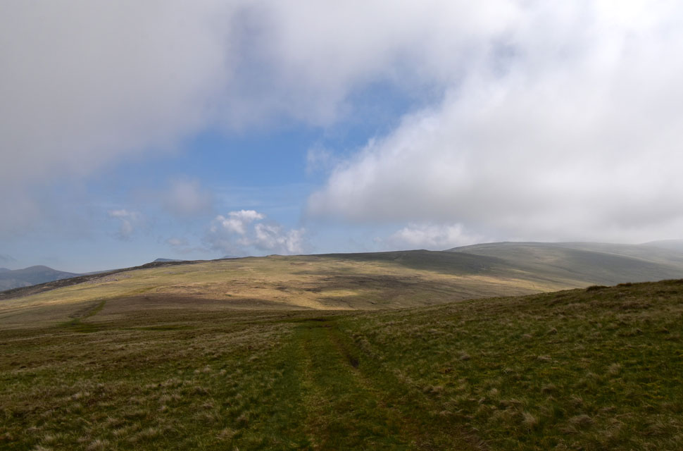
We were parked a short distance away from the forestry track, which at one time provided access for the miners who mined the iron mine on Grike's north face. We joined the track, which rose along the tree covered flanks of Blakeley Raise before opening out onto Blakeley Moss. It's already warming up, and I've already de-layered back to a T-shirt. You might be able to spot the path onto Grike just after the track bends to the right. |
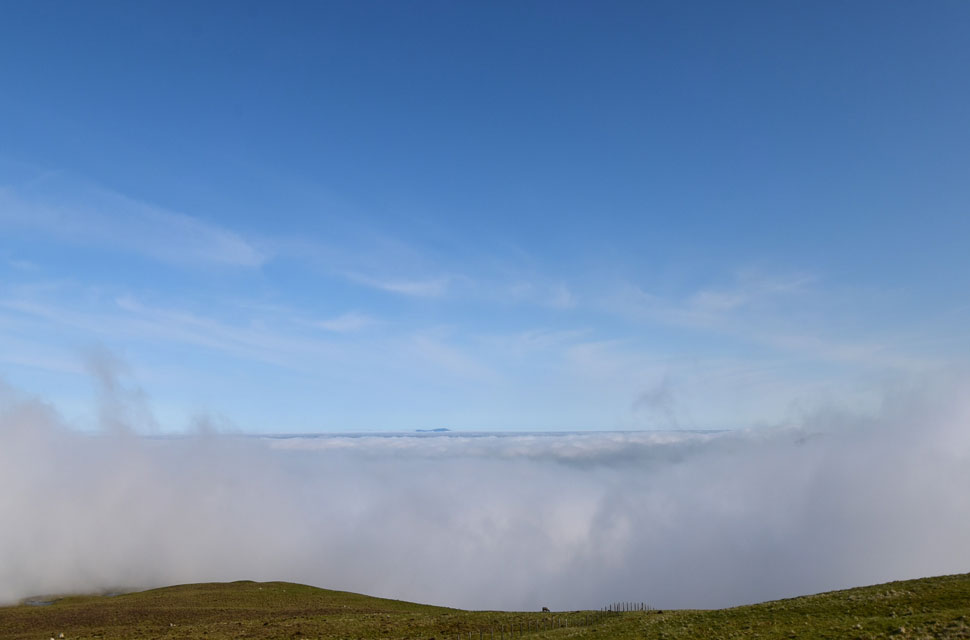 |
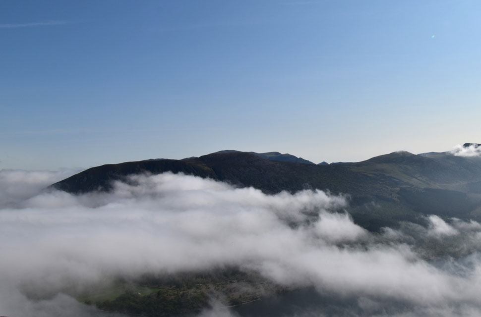
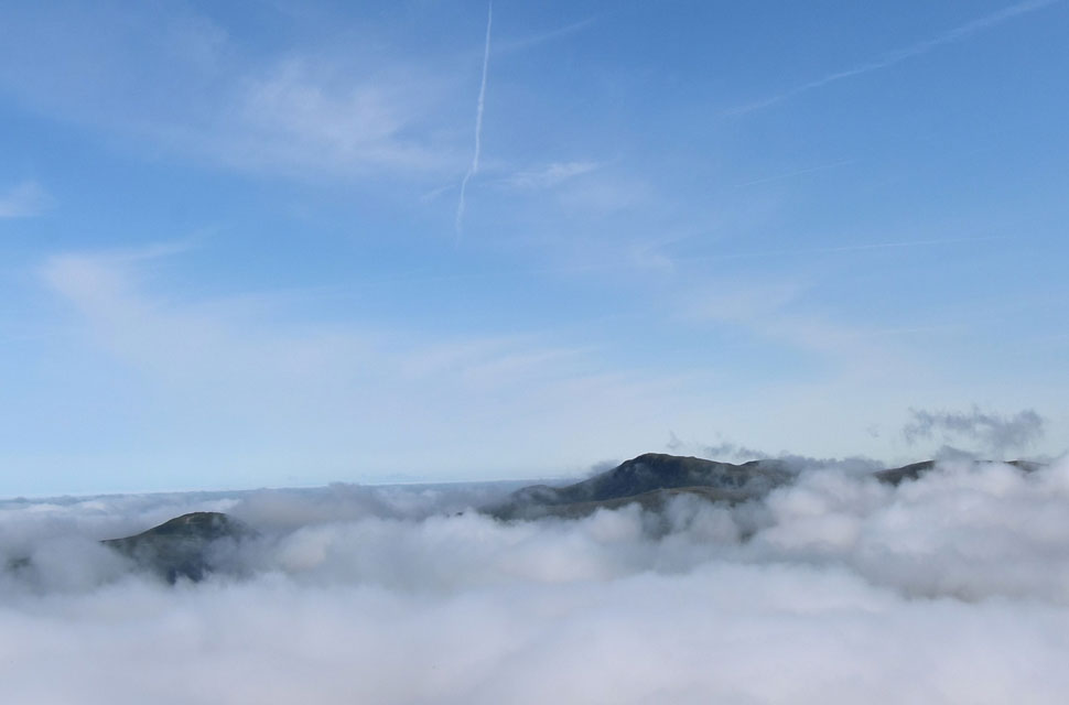
| We wasn't expecting to see a cloud inversion! |
| We had almost forgotten about the cloud inversion, but on gaining Grike's shoulder, we could see over the top of the cloud, which extended all the way over the Solway Firth towards south west Scotland, with the summit of Criffle clearly visible over thirty miles away (as the crow flies) |
 |
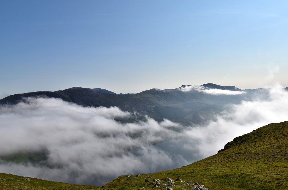
| Pillar, Black Crag, Steeple, Scoat Fell and Haycock from Crag Fell summit. |
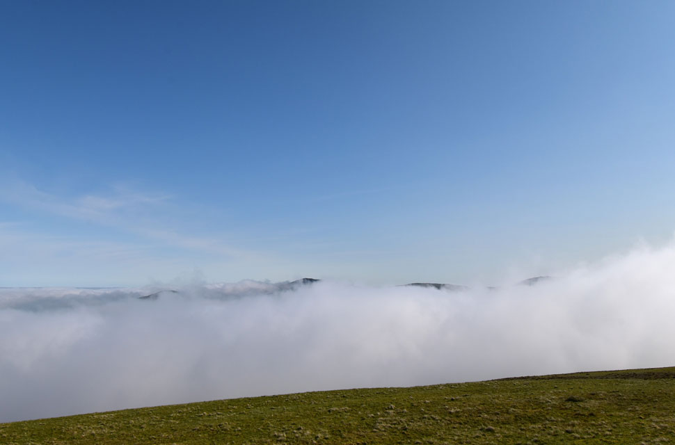
| It looked like the inversion was starting to break up and had concentrated over Ennerdale Lake, exposing the summits of nearby hills. |
 |
| Looking North over the Lake. |
| Towards Banna Fell, Blake Fell and Herdus. |
 |
| The view down to Crag Fell dominated by Pillar to the right. |
| We hung around while naming summits that looked like islands in the sky, but once the name of one summit was named, we could visually name the others, even the ones below the cloud. |
 |
| Knock Murton and Blake Fell appear. |
| The inversion is slowly breaking up. |
 |
| As we look up along the valley. |
| Herdus, Great Borne, Starling Dodd, Red Pike (Buttermere) and High Stile are almost free from the cloud now. |
 |
| Knock Murton, Blake Fell, Gavel Fell and Herdus. |
| Anyone stood on the summit of Blake Fell right now would be in for a treat! |
 |
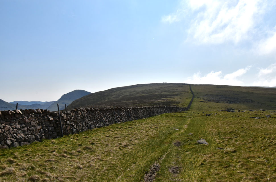
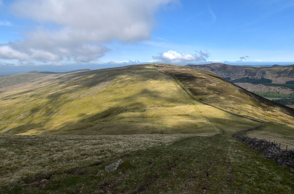
| Looking back on Crag Fell (right) and Grike (left) from the Ennerdale Wall. |
We watched the cloud inversion break up over Ennerdale, revealing more summits for us to name before beginning our descent through what once was woodland, which stretched along the southern flanks of Grike and Crag Fell.
As it so happens, I've been walking long enough to remember the woodland too, but for David and Rod who have been walking much longer than me, it's an area of Lakeland they just can't get used to seeing without the trees. |
 |
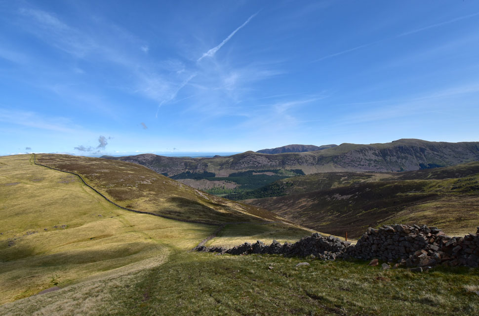
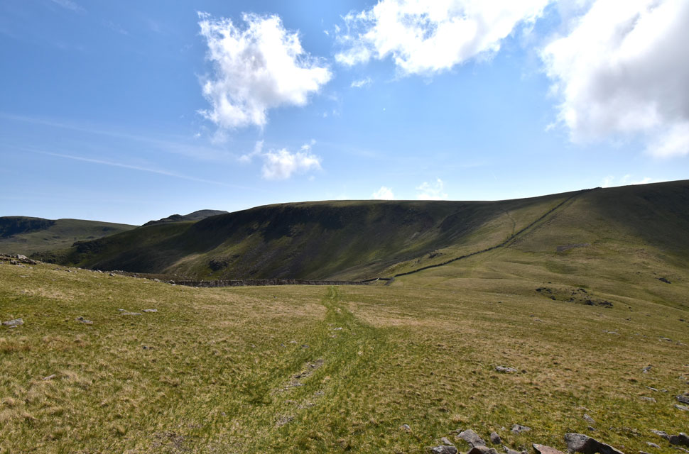
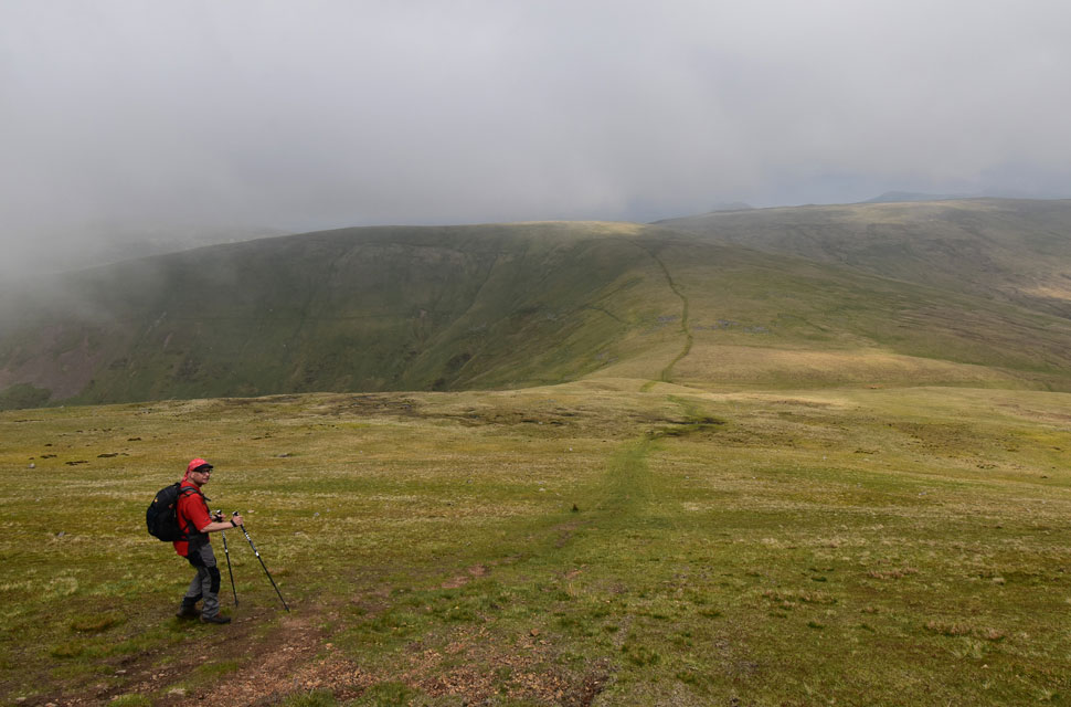
| We look back on the slopes of Whoap. |
| You might just be able to make out the path we'll take later to gain Whoap from Ennerdale Fell. |
 |
| Ennerdale Fell with Pillar over to the left. |
| It's amazing how Pillar looks nowhere near as imposing from the Mosedale and Wasdale valleys as it does from the Ennerdale valley. |
 |
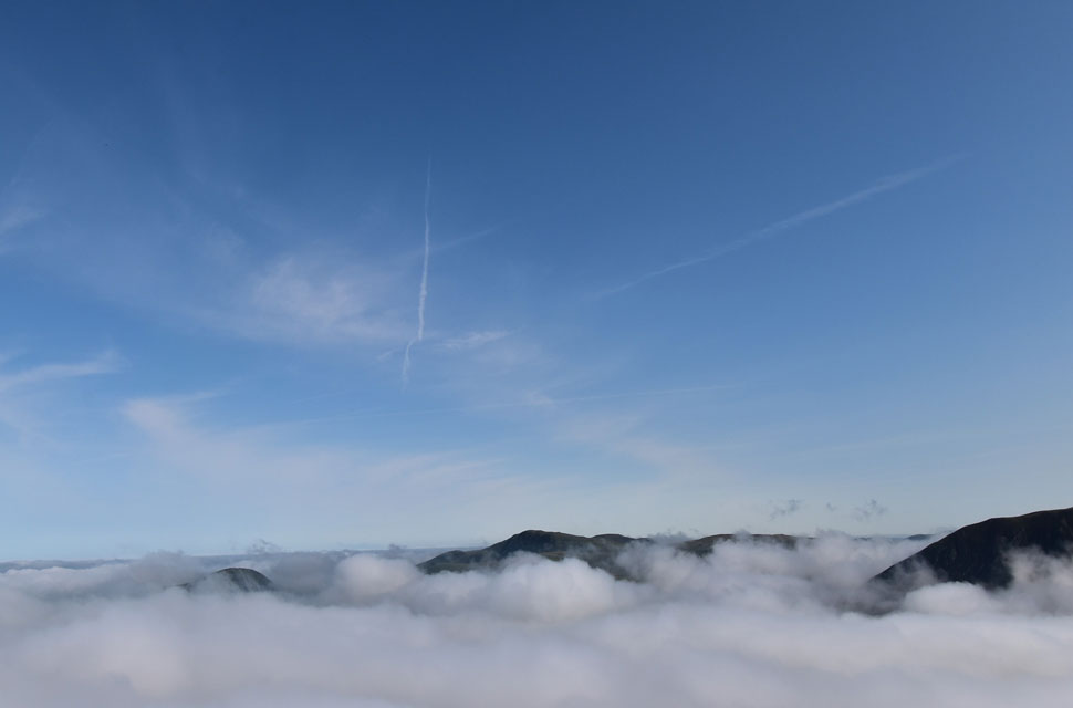
| Peering over the wall. |
| It looks like most of the inversion has disbanded now leaving just a whisp of cloud over Herdus, Great Borne is seen to the right. |
 |
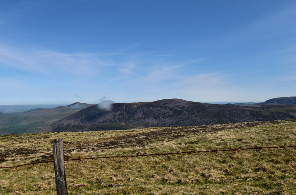
| Caw Fell, Steeple and Haycock. |
| It had taken us almost an hour of great walking to reach the col linking Bleaberry Gill (right) with Silver Cove (left) by which time the morning was really starting to heat up with just a slight breeze to keep us cool. |
 |
| In the opposite direction. |
| From the ascent of Caw Fell I look back over the Ennerdale valley towards the entire High Stile ridge, starting with Great Borne over on the left, High Crag over on the right, and Grasmoor beyond. |
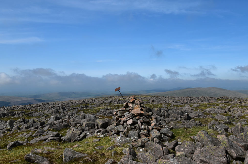 |
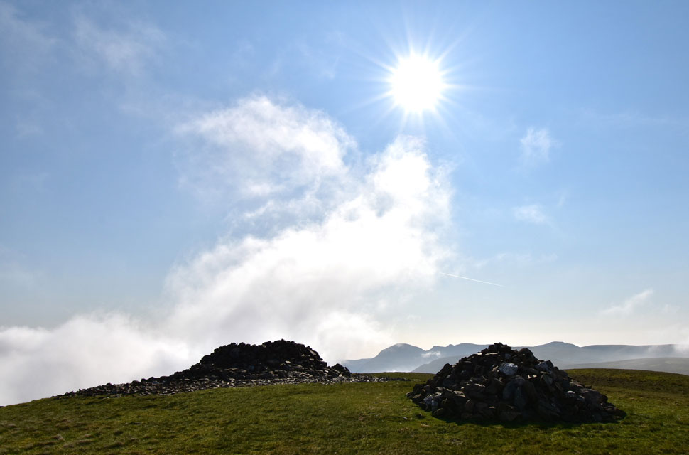
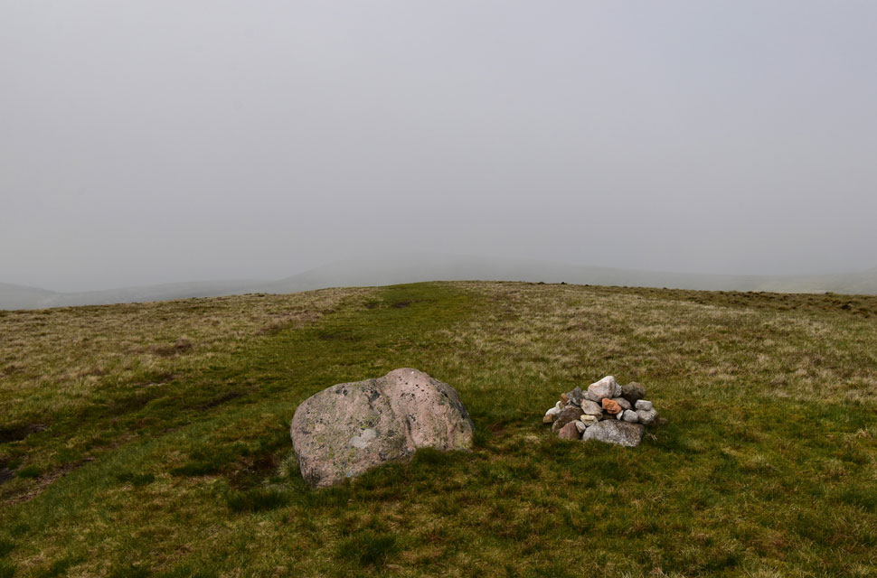
| Caw Fell West cairn. |
Including the summits of Grike and Crag Fell, we were six miles into the walk as we reached Caw Fell summit while sharing a bag of Fruit Pastels that I brought with me. Two off road bikers who had passed us at the col below occupied the summit, and despite them being nice guys, riding off road bikes on fells as isolated as Caw Fell isn't something I'd like to get used too.
After a brief chat, we left the guys and made our way towards the stone shelter and the west cairn, still stuffing fruit pastels into our mouths, which were a welcome sugar boost ready for the return leg over Ennerdale Fell. |
 |
| As we began the descent on to Ennerdale Fell. |
| I took in the views over the High Stile ridge again, what a fantastic day to be out. |
 |
| Views over Silver Cove (right) towards the Tongue End Ridge (foreground) with the Tewit How ridge beyond |
| The view was amazing, but it took me a couple of minutes to realise that the summit in the far right of the photo was in actual fact Fleetwith Pike which I was on just five days ago. D'oh! |
 |
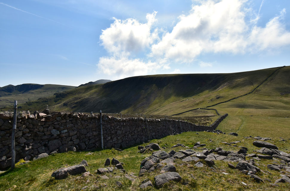
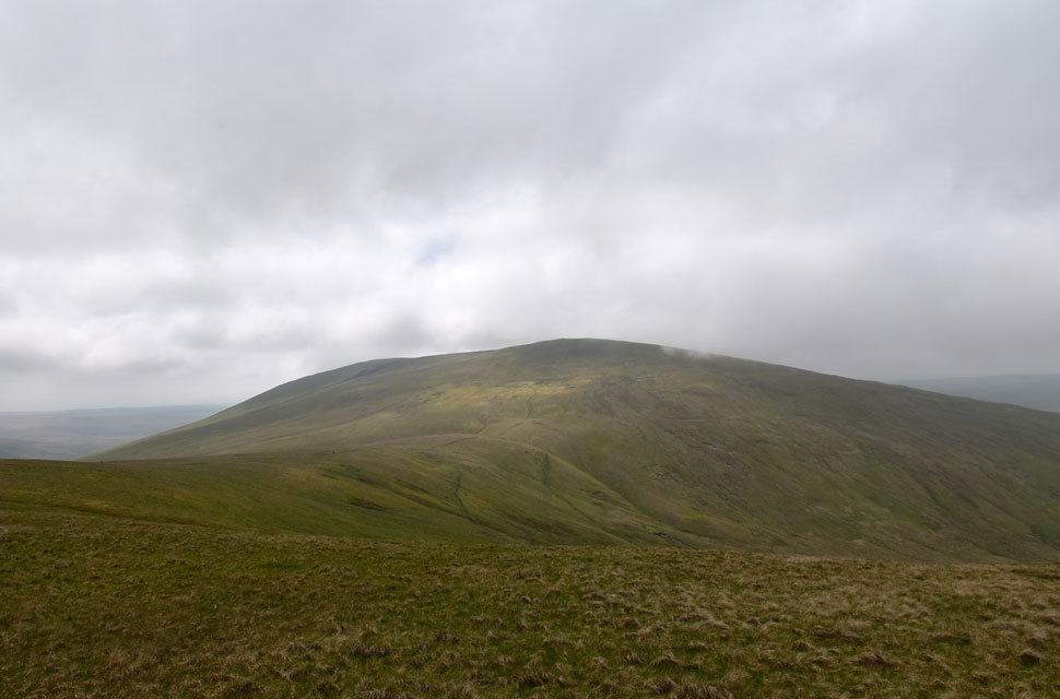
| Ennerdale Fell and Iron Crag ahead. |
| The off road bikers were behind us, and I think they knocked their engine off as they descended past us, either that or they were saving on fuel! The bikers rode off on the path that veers left, which would also be an option as it would take us directly to the slopes of Whoap, but David and I have used the path before and found it rough underfoot, so we opt to return over Ennerdale Fell and pay a visit to its highest point, Iron Crag. |
 |
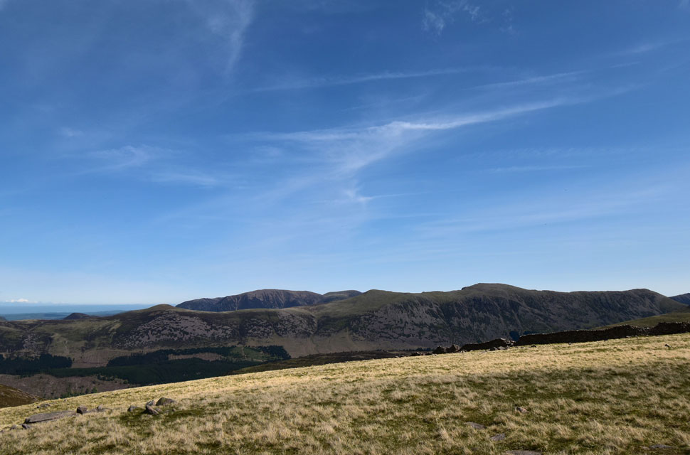
| Wide shot of Caw Fell over Silver Cove. |
| With Pillar and White Pike beyond. |
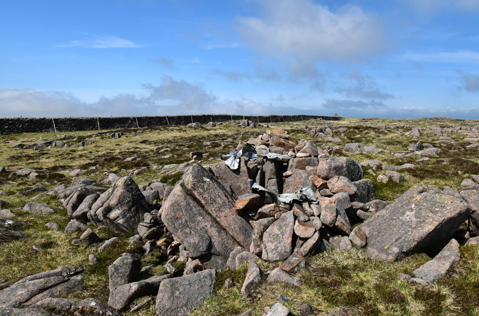 |
| Iron Crag (Ennerdale Fell) summit. |
| After passing through a gate in the wall, we made our way to Iron Crag summit, where we were surprised to find pieces of aeroplane wreckage that we hadn't seen before. The wreckage belonged to an Airspeed Oxford Mk.I which was being used for navigation exercises after taking off from RAF Millon on 2nd November 1941. Sadly, both pilots died as a result of the crash. |
 |
| Lunch with a view. |
| It was nearing to 12:30pm now and with most of the hard work behind us we settled down at a cluster of boulders and had lunch. Moments later the skies darkend and the cloud rolled in over Lank Rigg (left) leaving Whoap (right) only just free from cloud. |
 |
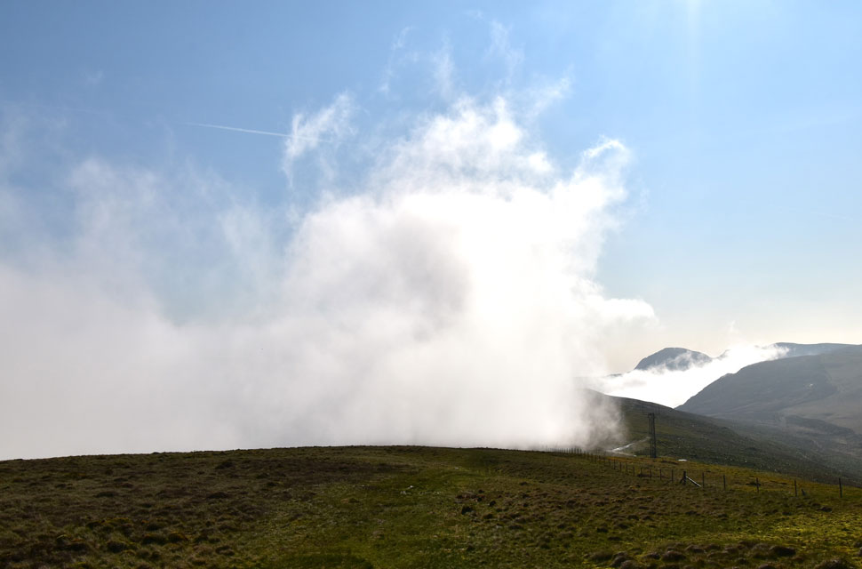
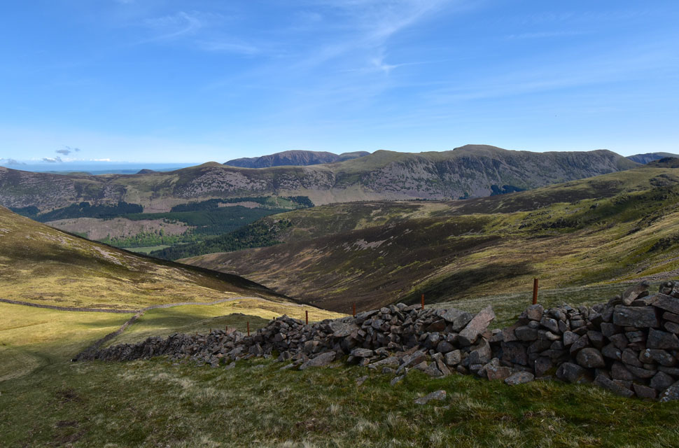
| Looking back on Ennerdale Fell. |
| The same low cloud encircled Caw Fell and part of Ennerdale Fell too. |
 |
| Whoap Summit. |
| The path parted left and we headed for the trod we had seen earlier which was wet and boggy underfoot which kinda added to the low cloud we were now experiencing, I guess it just shows how quickly conditions can change on the Lakeland fells. |
 |
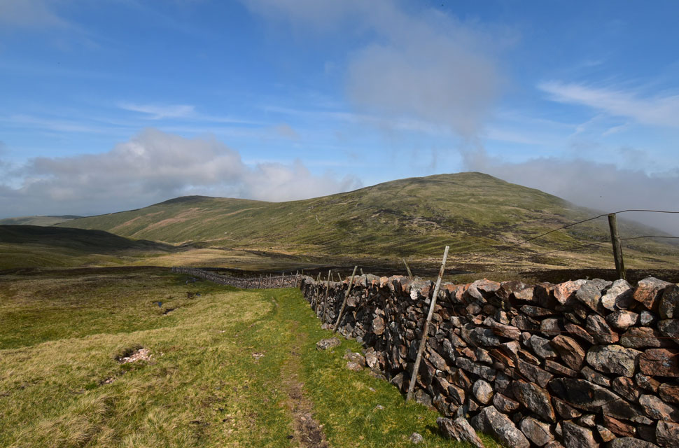
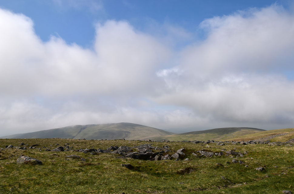
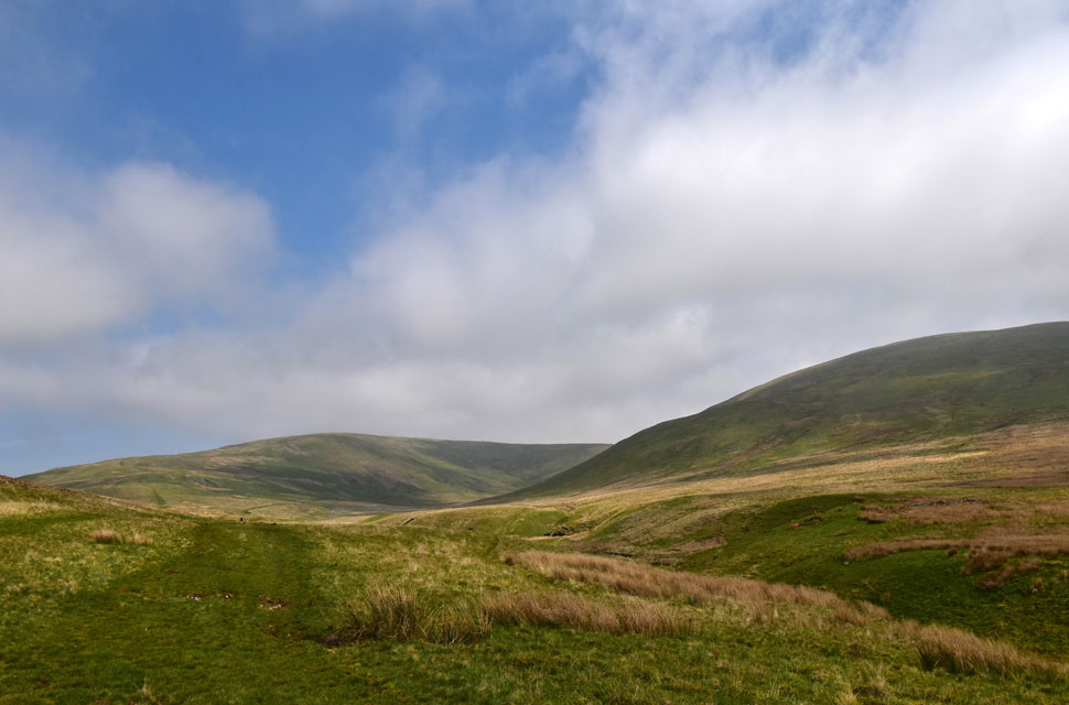
| Lank Rigg from the slopes of Whoap. |
| The light remained low and the temperature took a slight dip but at least the cloud was now clearing from Lank Rigg summit. |
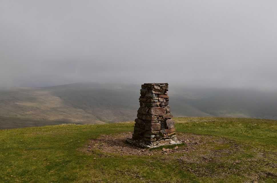 |
| Lank Rigg summit. |
| It's been seven years since I was last here and I'd forgotten about the short, but steep pull required in order to reach the summit. This was not Hassnesshow Beck of five days ago but I seemed to be using muscles I hadn't used since then. Low cloud remained over Caw Fell but it was clearing with hints of sunshine appearing every now and again. |
 |
| We double back ready for the descent via Whoap Beck (left) |
The sunlight seemed to increase, and we hoped that it would return as we walked the mile or so along Whoap Beck which according to David is like a suntrap. Further down the fell we spotted the couple we'd seen earlier below Caw Fell summit, but we were sure they had a dog with them the last time we'd seen them.
The closer we got, the more I spotted movement behind the guy's head, which turned out to be the dog who was tucked into a K9 Dog pack. We ended up chatting for about twenty minutes, and one of the topics that the couple touched on was that they thought these particular fells were 'boring" David politely replied that he preferred this type of fell walking, as we all do from time to time, but I don't think we could ever go as far as labelling certain fells boring.
Aside from this slight objection, I want to add that the couple were really nice and had mirrorred our route as they were bagging the Wainwrights (their words) "Only one left after Grike," they said, but for the life of me, I can't remember which one they said it was. |
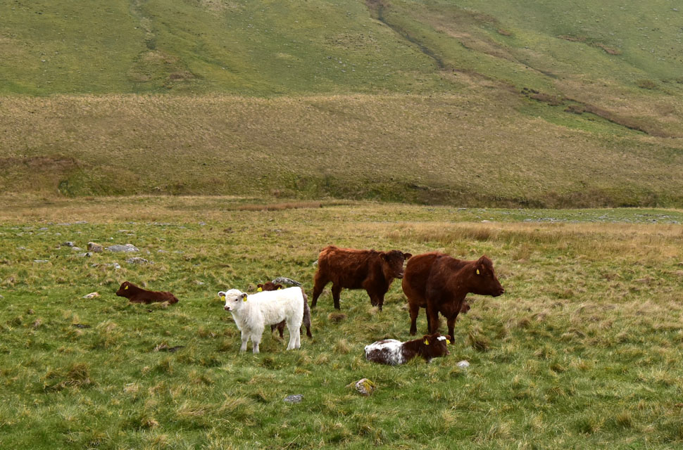 |
| Passing this herd of Calfs. |
| Amongst the brown calfs was this very cute British White. |
 |
| Looking back on Whoap (left) and Lank Rigg (right) |
The weather gods must have been listening because within half an hour of leaving Lank Rigg the cloud parted and the sun came out, leaving us to walk the road section back to the cars in glorious hot sunshine. It was closing on 15:10pm now, and Rod was eager to get back to catch the Sunderland game, which kicked off at 17:30pm, be a push, but he might just make it. Rod left the pack as David and I dawdled behind, taking in the long distance coastal views beyond Flat Fell. The only thing disturbing the silence was the odd car or cyclist, all of whom we got a 'hi' from. We arrived back at the cars to find Rod ready to leave, and after a quick chat on when our next walk would be, Rod left for home.
A quietness returned as conversation turned to David and Jennifer's holiday in Dartmoor next week, where they'll be collecting rock tors as opposed to Lakeland summits. The roar of a roadbike's freewheel broke the silence as the bike and its rider took the corner at breakneck speed, the bike's front wheel almost drifting under complete control as its rider screamed out a WHOO HOO as he exited the corner, all the while David and I looked at one another with WTF expressions etched across our faces. Quiet came again, heat and sunburnt faces, arms, and calfs tender to touch, Flipping eck, I've forgotten to put the suncream on again. |
|
| |
| Back to top |
 |
|