|
Longsleddale, Tarn Crag & Grey Crag |
 |
 |
23rd April 2023 |
 |
|
After five days of continuous sunshine, it had to end come the weekend, and the kick in the teeth was having to cancel a walk I had planned with Tim. It felt like the biggest sucker punch even to a seasoned fellwalker, its still frustrating. I could only watch the webcams from home, which confirmed Saturday's forecast of heavy rain and cloud so low it was touching the tree tops. Okay, I might be exaggerating, but you get my drift.
I made use of the drier weather around home by spending time in the garden and an extra long dog walk. Sunday's forecast was much drier than Saturday's, but with more low clouds forecast throughout the morning, it was never going to be the perfect day for a fell walk. Be that as it may, I packed my gear anyway and set my alarm for 6:00am. By 6:40am, I was driving north, not quite knowing where to walk.
That's when the idea came back to me from a couple of weeks ago. Although it's been five years since I last walked through Longsleddale, it feels much longer, I remember how much I used to enjoy the valley walk before yomping through bog onto Grey Crag and Tarn Crag, which to this day are two of the Lakelands quieter summits. What confirmed the walk for me, however, was a re-visit to Harrup Pike, the setting for last summer's wild camp and another personal favourite fell of mine. |
|
| Wainwright Guide Book Two |
 |
| The Far Eastern Fells |
Grey Crag
There is nothing remarkable about Grey Crag, but here Lakeland may be said to start and moorland country to end, and the transition is sudden: the quiet beauty gives place to romantic beauty. |
 |
|
|
|
| |
|
Overview |
|
|
| Ascent: |
2,162 Feet - 659 Metres |
| Wainwrights: |
2, Tarn Crag (Longsleddale) - Grey Crag |
| Visiting: |
2, Harrup PIke - Great Howe |
| Weather: |
A Cloudy Start With Good Spells Of Sunshine. Highs of 17°C Lows of 9°C |
| Parking: |
Parking Spaces, Sadgill, Longsleddale |
| Area: |
Far Eastern |
| Miles: |
6.3 |
| Walking With: |
On My Own |
| Ordnance Survey: |
OL7 |
| Time Taken: |
3 Hours 45 Minutes |
| Route: |
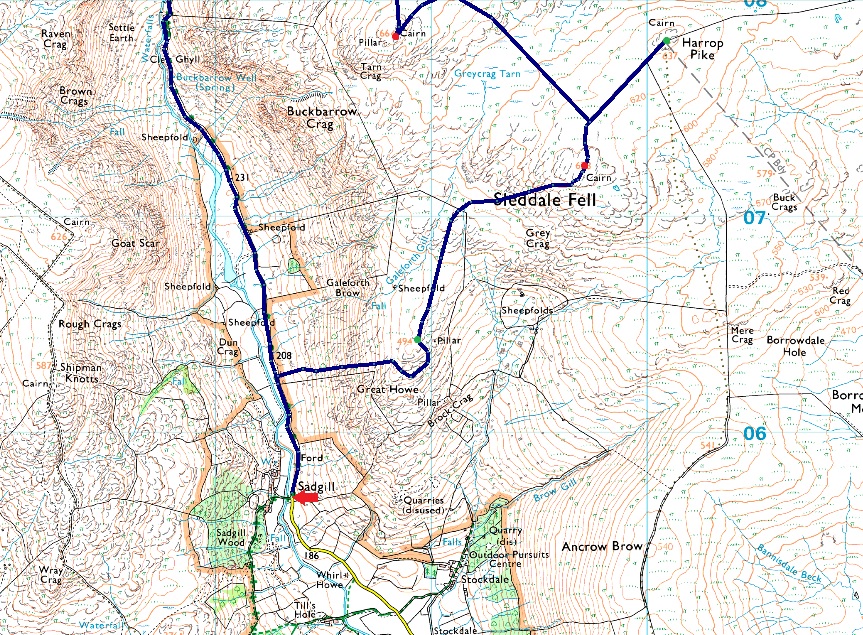
Sadgill Bridge - Longsleddale - Brownhowe Bottom - Tarn Crag (Longsleddale) - Greycrag Tarn - Harrop Pike - Grey Crag - Great Howe - Sadgill Bridge |
|
| |
|
Parking Details and Map |
|
|
| Nearest Post Code: |
LA8 9BE |
| Grid Refernce: |
NY 483 505 |
| Notes: |
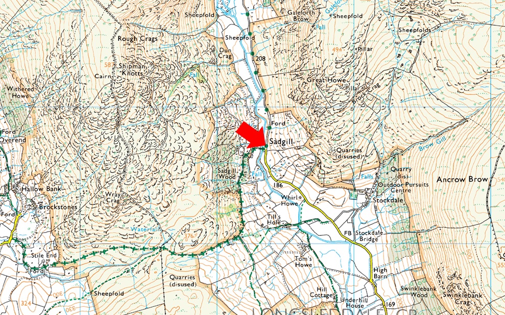
The roadside parking at Sadgill is found deep within the Longsleddale Valley at the end of a long and twisting lane, the only road for six miles that allows access in and out of the valley by car. The lane is narrow with high hedges either side and my advice is when travelling along it be aware of unseen oncoming traffic. The lane ends at Sadgill Bridge below Great Howe and Grey Crag, here you will find parking for upto ten cars but during Summer it has been known to see cars some way up the valley to the dismay of the local Farmer and his tractor no doubt, my advice is to arrive early, and try to park as neatly as possible, after all Longsleddale is one of those valleys that appears to be untouched by time, Parking is free. |
|
| |
|
Map and Photo Gallery |
|
|
  |
| |
| |
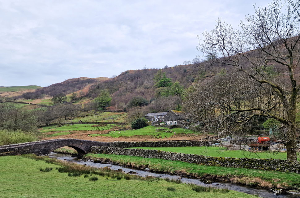 |
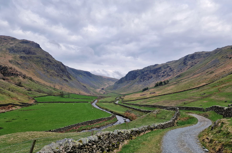
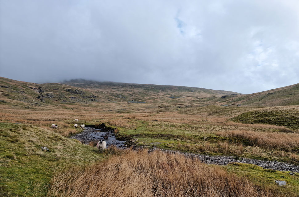
| Sadgill Bridge, Longsleddale 8:05am 9°C |
Not only is Longsleddale one of the most remote Lakeland valleys, but it's also one of the closest to home, with my journey taking just one hour and twenty minutes. It had rained on and off, and by the time I'd reached Sadgill, the showers had pushed through, leaving high-level grey cloud. Yesterday's rain was evident pooling in the narrow lanes, while new-born lambs bleated beyond the stone walls.
The sound of the farmer's quad bike faded into the distance and the only thing breaking the silence was the sound of the River Sprite as it meandered through the valley. I couldn't have asked for a more perfect setting to kit up by. Just opposite, two guys, a woman, and their Cocker Spaniel were getting ready to leave, and as they passed, nods and mornings were shared.
Despite spring being in the air, it certainly isn't short weather just yet; in fact, there's a wind blowing down the valley, which prompts me to add my beanie and gloves after I'd laced my boots up. After a final gear check, I lock my car, turn heel and begin the two-mile walk through the valley towards the Longsleddale side of the Gatescarth Pass. |
 |
| Goat Scar (left) the River Sprite and Buckbarrow Crag (right) |
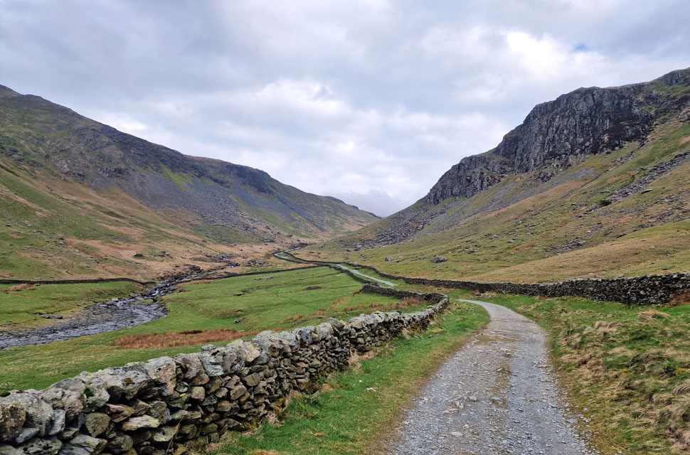
| The start of the walk follows the track through the valley which at times can be somewhat rough underfoot which is to be expected, after all, Longsleddale is one of the few Lakeland valleys untouched by time. |
 |
| Buckbarrow Crag looms. |
| |
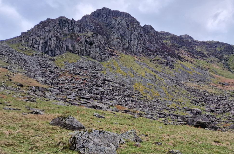 |
| Buckbarrow Crag. |
| Often referred to as Sadgill wall by the rock climbing community Buckbarrow Crag offers rock climbers complex climbing with a real mountain feel to it. |
 |
| Looking back on Goat Scar. |
| As the track begins to climb towards Gatescarth Pass it turns rough underfoot as it twists and turns along the flank of the falls of the River Sprite just beyond the wall. |
 |
| Arriving at Brownhowe Bottom. |
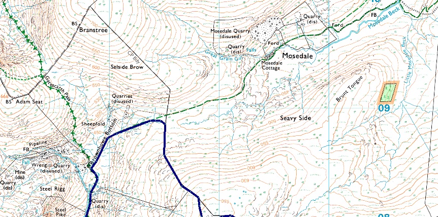
| It's time to leave the track at a sign posted Mosedale via Brownhowe Bottom, which, as you can expect after recent rain, was pretty damp underfoot. |
 |
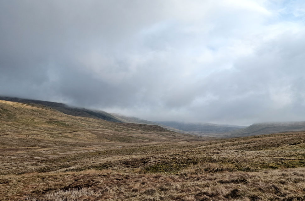
| Looking back on Steel Rigg, Raven Crag and Kentmere Pike from Brownhowe Bottom. |
| The cloud had been hovering just above the summits since I left Sadgill but right on queue it begins to peel away. |
 |
| Wrengill Quarry (left) Adam Seat (right) and Gatescarth Pass. |
| It was worth it to stop and keep looking back on the ever changing cloud scenery, not only was it lifting, but it was giving way to blue skies. |
 |
| Cloud dappling the top of Gatescarth Pass. |
| It doesn't matter what side of the pass you're on; that is some view! |
 |
| Views into Mosedale. |
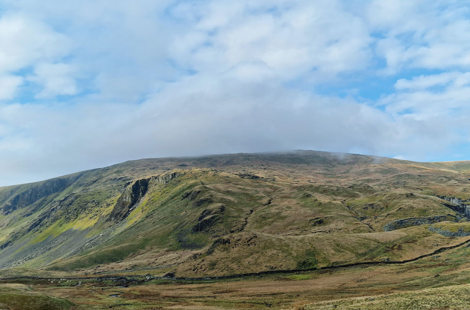
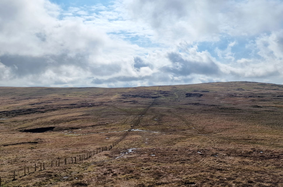
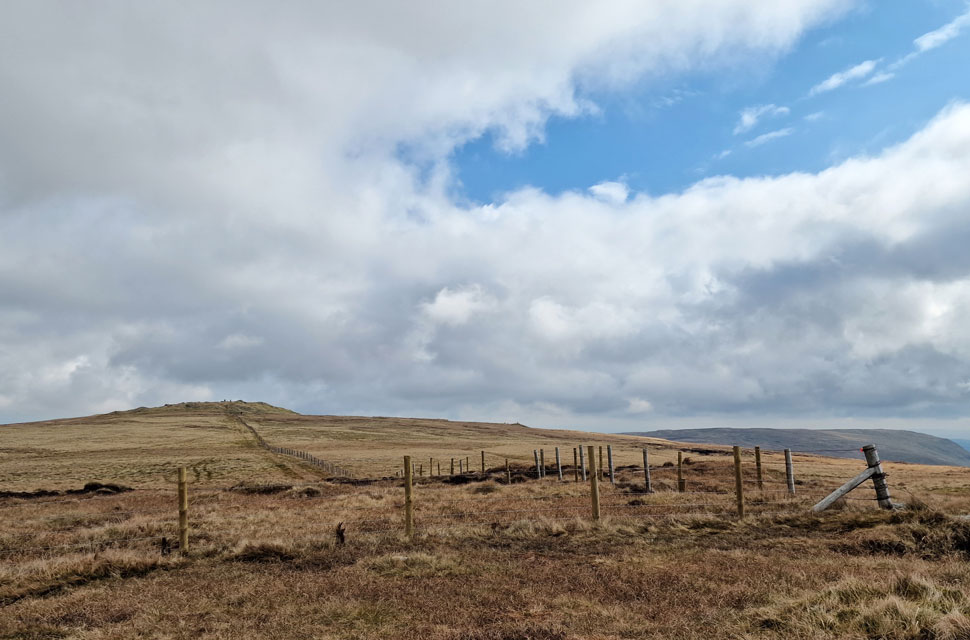
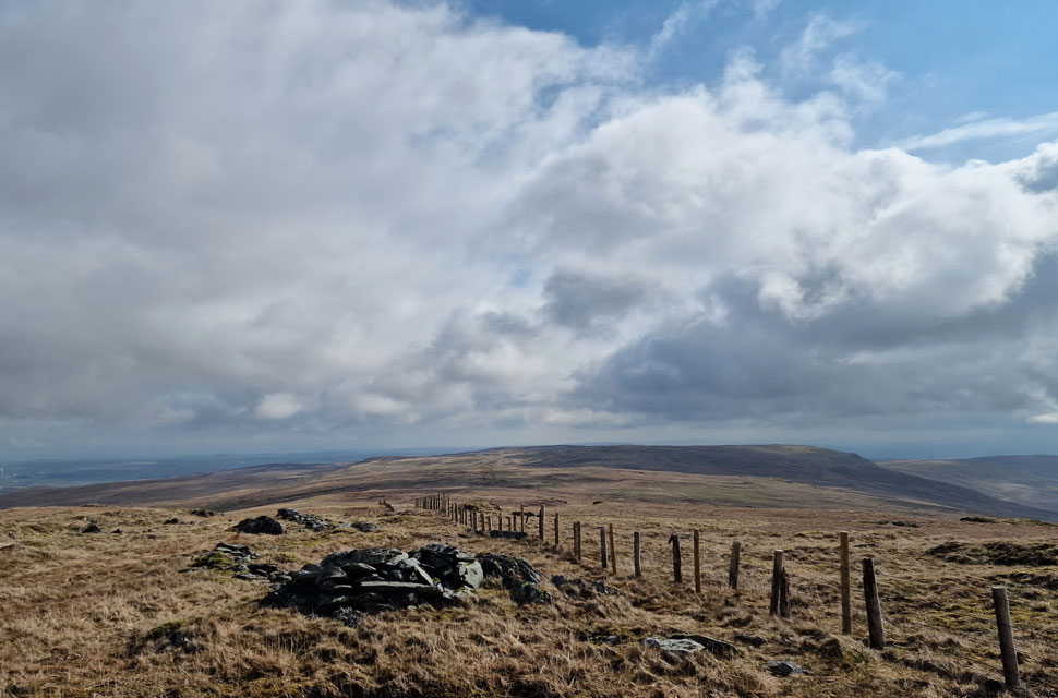
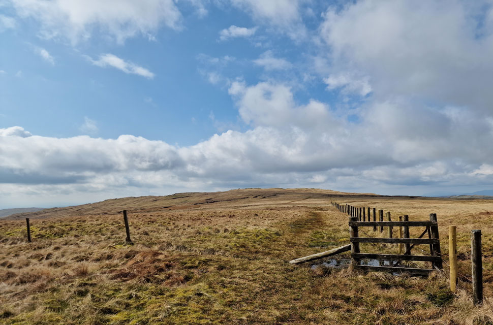
| With Brownhowe Bottom behind me, I continued towards the familiar gate, which overlooks the Mosedale Valley, but decided against it after almost losing a boot in the bog. Instead, I made my way over the peat hags and soon arrived at the wire fence which ascends alongside the path almost as far as Grey Crag summit. |
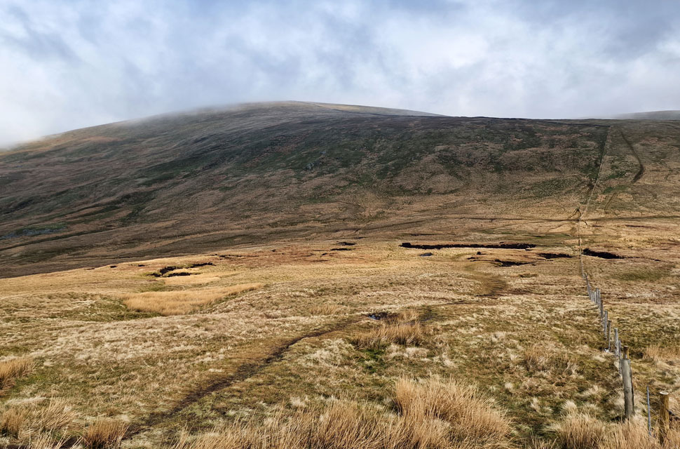 |
| Looking back on Branstree. |
| Besides the trio and their Spaniel, who were always a half mile ahead of me, I hadn't seen anyone else. That was until I spotted two walkers ascending Branstree through the cloud and mist. |
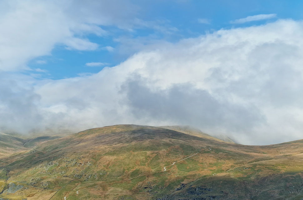 |
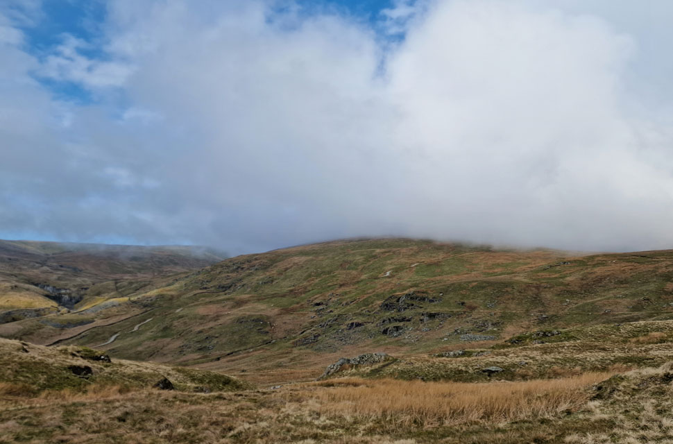
| Adam Seat, Gatescarth Pass and Harter Fell (Mardale) |
| The cloud is clearing enough to spot Harter Fell along with the top of Gatescarth Pass over on the right. |
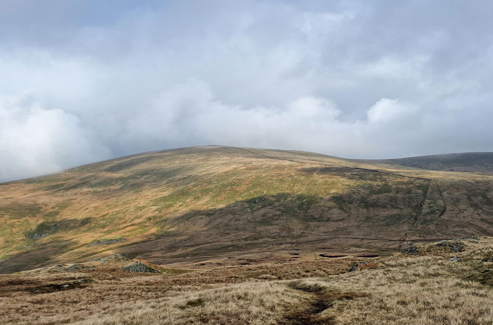 |
| Branstree from the ascent of Tarn Crag (Longsleddale) |
| |
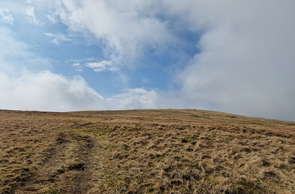 |
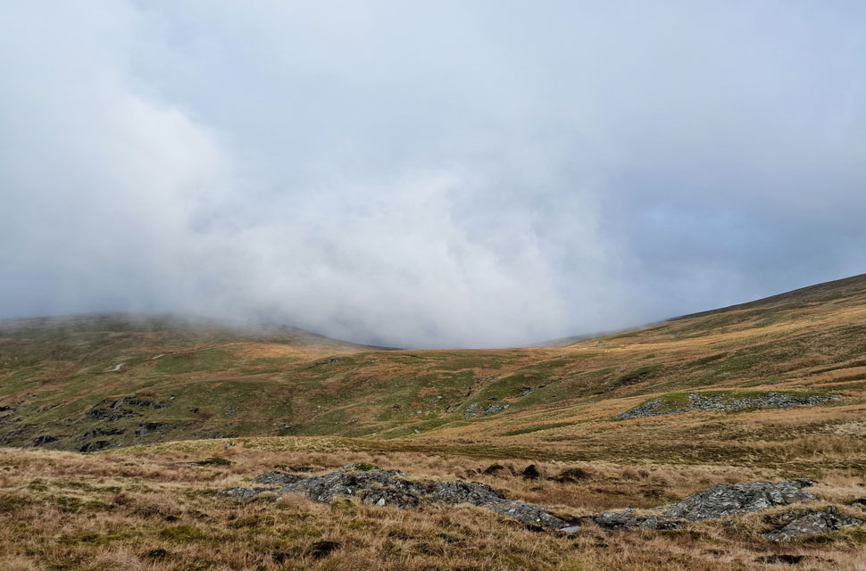
| Almost at the summit when the cloud breaks. |
| Only ten minutes ago I was ascending the fenceline into cloud as Mosedale Valley was lost in the murk below. Minutes later the cloud parted, revealing blue skies and clear views which has to be one of the highlights about fell walking. |
 |
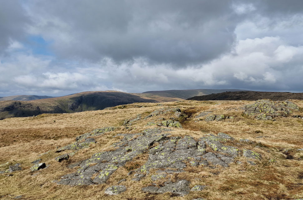
| Shipman Knotts and Kentmere Pike from Tarn Crag (Longsleddale) |
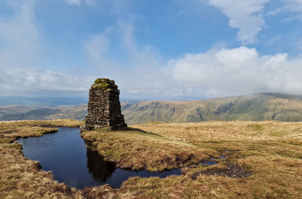
| Within minutes, I'd arrived at the summit Survey Column not to be confused with the actual summit, which lies about thirty yards behind me. |
 |
| Greycrag Tarn (dry) |
| I'd waxed my leather boots a couple of weeks ago and it looks like I'm going to see how water resistance they really are. |
 |
| Harrup Pike appears. |
| I couldn't visit Grey Crag without a visit to Harrup Pike. During August last Summer it was bone dry up here, but this morning I was sinking up to the eyelets of my boot. Still, what a wonderful place to be. |
 |
| Harrup Pike summit. |
Besides being especially fond of Harrup Pike another reason for my visit was to return to the site of the wild camp we had last summer. We had hiked up from Shap Road summit in 30°C heat and had planned to visit Wasdale Pike but with the heat coupled with laden packs we were forced us to cancel and head straight for Harrup Pike.
We had set up camp in no time and with just enough light for us to visit Grey Crag we returned to camp just as the sun was disappearing behind High Street. Even though it's been some months since that night memories came flooding back including a magnificent super moon and watching the Perseid Meteor Shower. |
 |
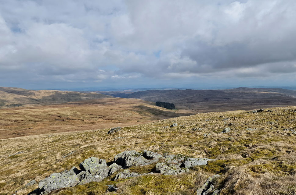
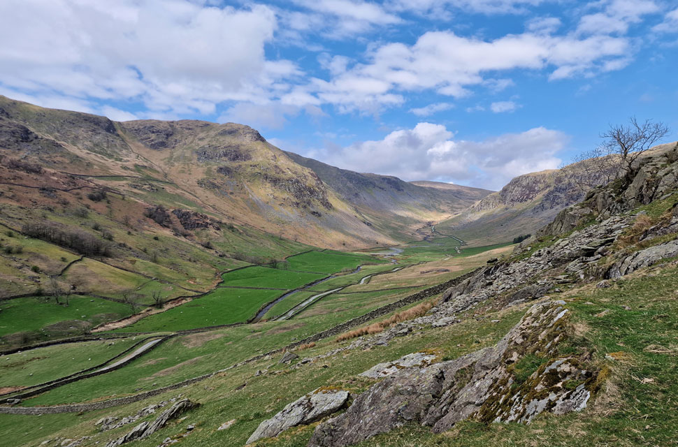
| A long distant view towards Wasdale Pike (left) and Great Yarlside (right) |
It might not be to everybody's taste, but the stretch between here and Great Yarlside is some of the best walking territory in the whole of Lakeland, or what I like to call 'Lakelands best mile' |
 |
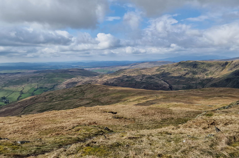
| The view over Burnt Tongue. |
| With Howes and Nab Moor seen on the left, the Swindale Valley seen in the centre, and the Wet Sleddale fells seen over on the right. |
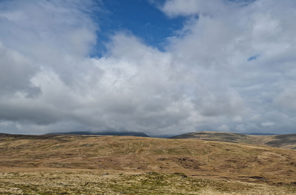 |
| Cloud gathering over Harter Fell (Mardale) with Branstree seen right. |
| |
 |
| Heading back towards Grey Crag. |
| It was time to head back to Grey Crag but not before I was greeted by a dog who appeared from the Crookdale Valley, followed about five minutes later by two wild campers carrying laden packs. After a quick hi from a distance, I thought about how unpleasent last night must have been with all the rain, but to be honest, they seemed in good spirits. |
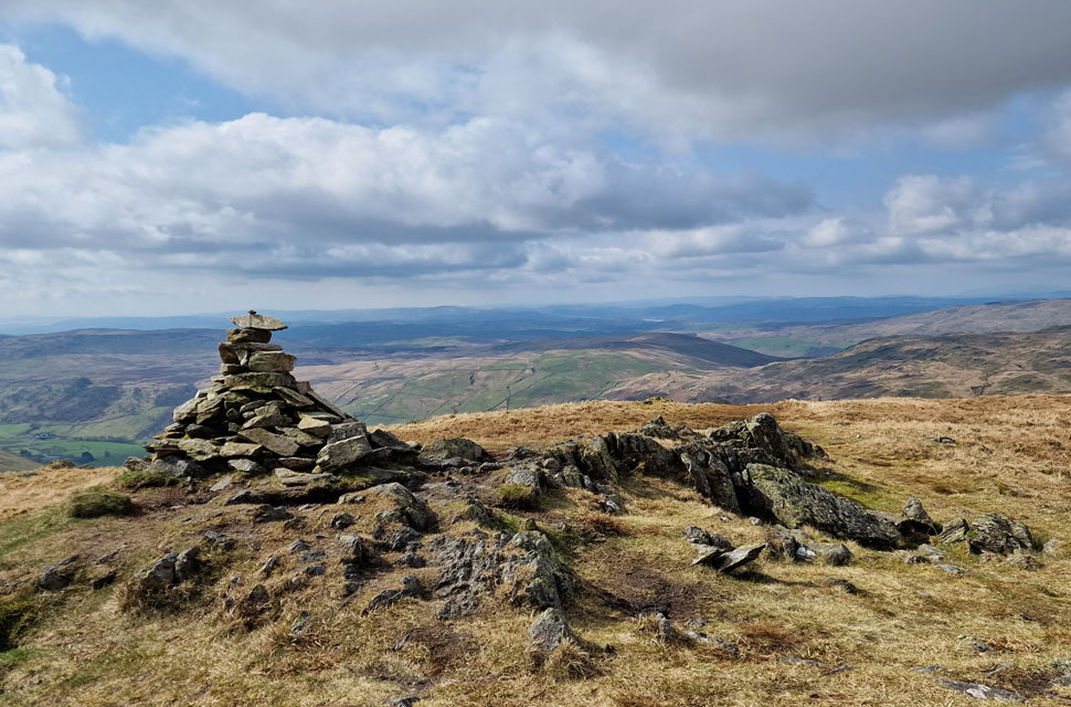 |
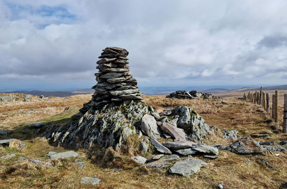
| Grey Crag summit cairn. |
| I'd watched the trio I'd been trailing descend behind the summit, no doubt heading for Great Howe, which left me with some solo summit time. |
 |
| I could have stayed up here all morning. |
| Lost in the moment. |
 |
| Descending Grey Crag towards Great Howe. |
| After moments spent absorbing the views I began my descent towards Great Howe seen over on the left. |
 |
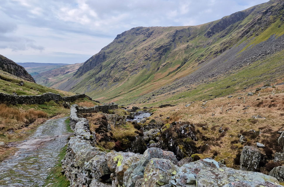
| Grass/rock gully below Great Howe. |
| Great Howe was probably the busiest summit, with walkers arriving from Sadgill most stopping for a breather after having ascended this short, but steep grass gully. |
 |
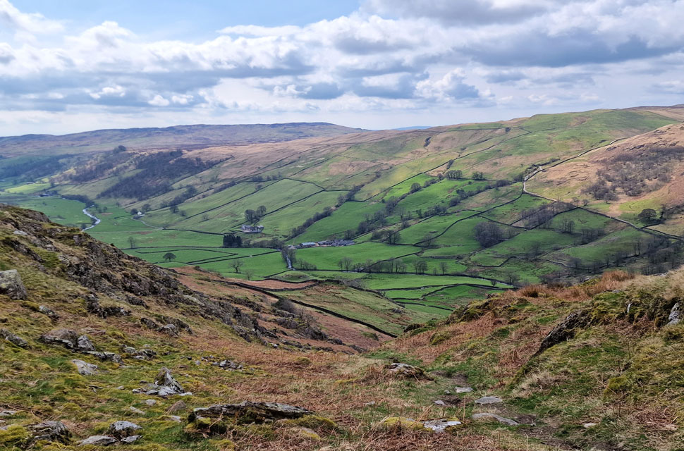
| Stunning views into Longsleddale. |
| |
 |
| Longsleddale. |
With the gully behind me, all that was left was 150ft of grassy descent, where at times I was lured off path for that 'better view' The trio I'd been tailing had passed from field to track via the gate below before heading towards Sadgill where a few more cars occupied the parking spaces than this morning. It was much milder now, and I was feeling the benefit after taking off my hat and gloves off back on Grey Crag.
The trio were all crammed into one car eating lunch, and as I passed, I gave a nod and got one in return from the chap sat in the passenger seat. I was hungry now, and I after changing my wet boots back to a pair of Karrimor mids, I laid my lunch out on the passenger seat before dropping both front windows and putting the car into gear. |
|
| |
| Back to top |
 |
|