|
The Central Ridge |
 |
 |
8th April 2023 |
 |
|
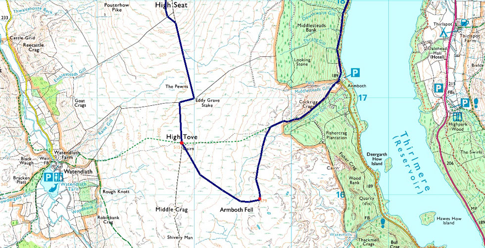
Taking advantage of the fine Bank Holiday weather, David came up with a route that none of us had walked in a few years, in fact a section of the route between High Seat and High Tove had been paved a couple of years ago, and we wanted to see it for ourselves.
I have walked the Central Ridge (Bleaberry Fell to High Tove) several times, but like most folk, I'm put off by its notorious bogs, more so between High Seat and High Tove, an area known as The Pewits, just writing that would shiver down the spine of anyone who's been there. I've walked the ridge just three times, twice over frozen ground and once in drought, the latter being completely dry underfoot, a rare experience.
I'm unsure of the exact date, but perhaps a couple of years ago the section linking High Seat with High Tove was paved, and back then the trio added the walk to our ever increasing 'to do list' It had only rained a handful of times within the last ten days, and whilst the seasoned weather allowed most visitors to enjoy the likes of Scafell Pike, Blencathra or Helvellyn we took the perfect opportunity to walk the Central Ridge. |
|
| Wainwright Guide Book Three |
 |
| The Central Fells |
| Bleaberry Fell terminates the central ridge to the north in much like the same manner as Clough Head and Loadpot Hill terminates the parallel Helvellyn and High Street ridges. |
 |
|
|
|
| |
|
Overview |
|
|
| Ascent: |
1,910 Feet - 582 Metres |
| Wainwrights: |
5. Walla Crag - Bleaberry Fell - High Seat - High Tove - Armboth Fell |
| Weather: |
A Bright Day With A Cool Breeze Across The Summits Highs of 18°C Lows of 3°C |
| Parking Using x2 Cars : |
A591, Nest Brow - A591, Turnip Corner |
| Area: |
Central |
| Miles: |
9 |
| Walking With: |
David Hall, Rod Hepplewhite & Michael Cox |
| Ordnance Survey: |
OL4 |
| Time Taken: |
5 Hours |
| Route: |
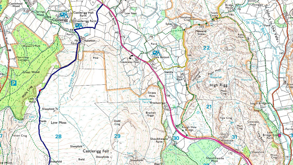
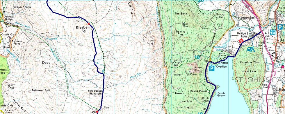
Nest Brow - Castlerigg Farm - Rakefoot - Walla Crag - Low Moss - Bleaberry Fell - High Seat - The Pewits - High Tove - Armboth Fell - Fisher Gill - Armboth - Thirlmere Dam - Turnip Corner |
|
| |
|
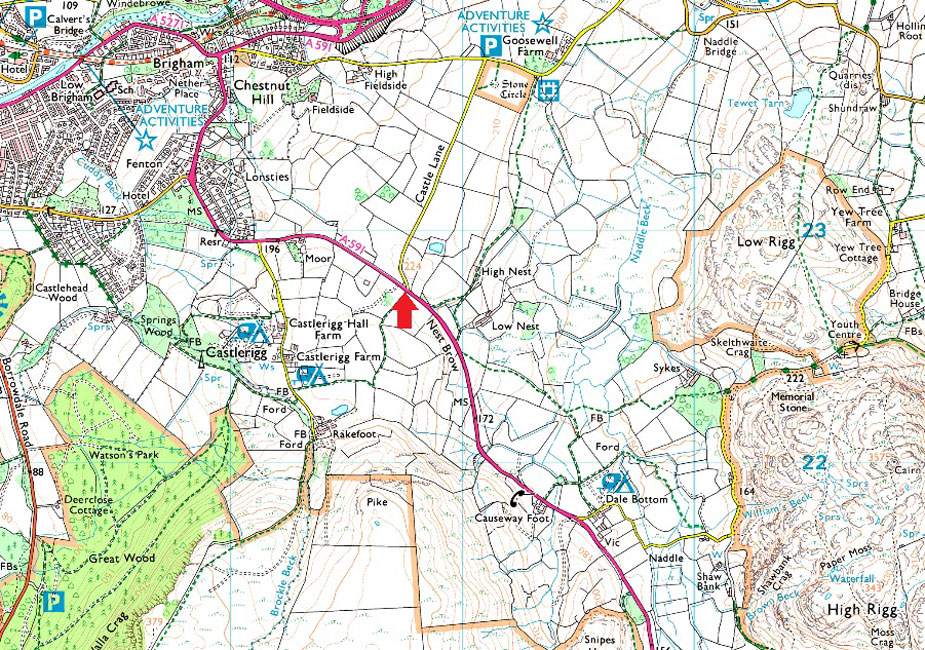
Parking Details and Map for Nest Brow |
|
|
| Nearest Post Code: |
CA12 4TE |
| Grid Reference: |
NY 287 227 |
|
| |
|
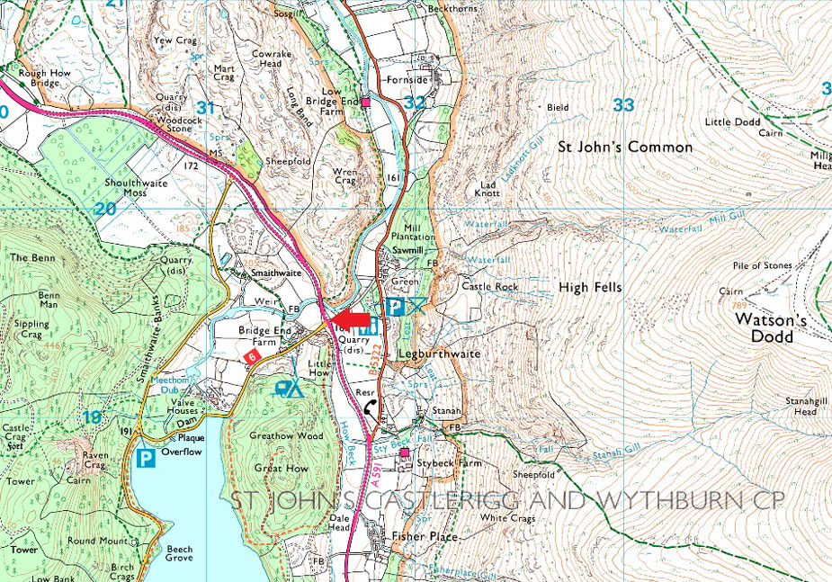
Parking Details and Map for Turnip Corner |
|
|
| Nearest Post Code: |
CA12 4TG |
| Grid Reference: |
NY 316 194 |
|
| |
|
Map and Photo Gallery |
|
|
 |
| Walla Crag from Castlerigg Farm 8:20am 3°C |
We had arranged to use two cars, leaving one at Turnip Corner close to Bridge End Farm, Thirlmere, and the other a couple of miles further north at Nest Brow where Castle Lane meets the A591. I was already parked up next to, would you believe, a trailer load of turnips when David arrived around 8:00am, and after I switched my gear into his car, we drove north to Nest Brow.
It was a chilly morning with the temperature hovering just above freezing as we sat chatting in David's car waiting for Rod and Michael to arrive, but there was huge potential for it to warm up with clear blue skies over our heads. Rod and Michael soon arrived, and we completed our kit up at the side of the A591 all remembering to wear long trousers with the added protection of gaiters. After locking our cars, we strode across a deserted A591 and through the gate before heading towards Castlerigg Farm with views of Walla Crag, todays first summit. |
 |
| Walla Crag bound. |
| After passing Castlerigg Farm we joined the farm lane, crossed Brockle Beck via the familiar footbridge, and then joined the fell track, which started off quite steeply before levelling over semi-frozen grass as we continued towards Walla Crag. |
 |
| A host of North Western fells seen over Derwent Water. |
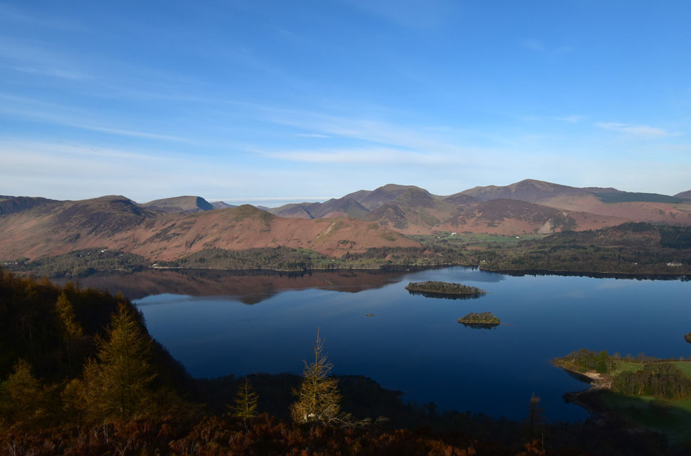
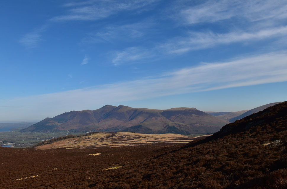
| We seemed to arrive at Walla Crag quite quickly where jaw dropping views opened out over Calfclose Bay, Derwent Water. From left to right here we have Cat Bells, Maiden Moor, Hindscarth, Robinson, Red Pike (Buttermere) Knott Rigg, Ard Crags, Wandope, Crag Hill, Sail, Scar Crags, Cause Pike, Outerside, Barrow, Grisedale Pike and Sand Hill. |
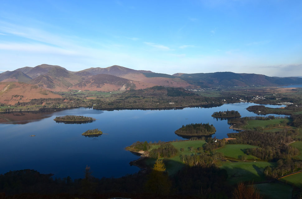 |
| The Northern end of Derwent Water. |
| Seen with the Lord's Seat Fells and Bassenthwaite Lake beyond. |
 |
| Bleaberry Fell seen beyond Low Moss. |
| With the sun above the ridges it was time to lose the layers we added back at the cars. What a day to be out on the fells. |
 |
| Sheepfold, Low Moss. |
| The path rises steadily over Low Moss towards the familiar Sheepfold before heading east towards Bleaberry Fell. |
 |
| The Skiddaw massif... |
| ...seen beyond a sea of heather and Walla Crag. |
 |
| Views North Easterly. |
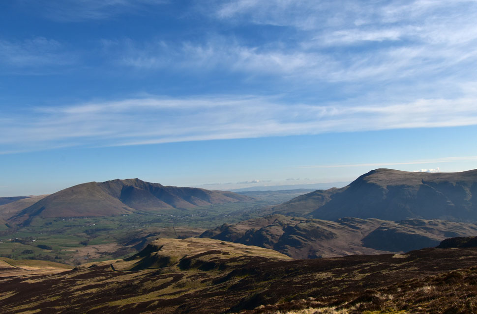
| Open out over Dodd Crag, High Rigg, Low Rigg, Blencathra, Souther Fell, Clough Head and Threlkeld Knotts. |
 |
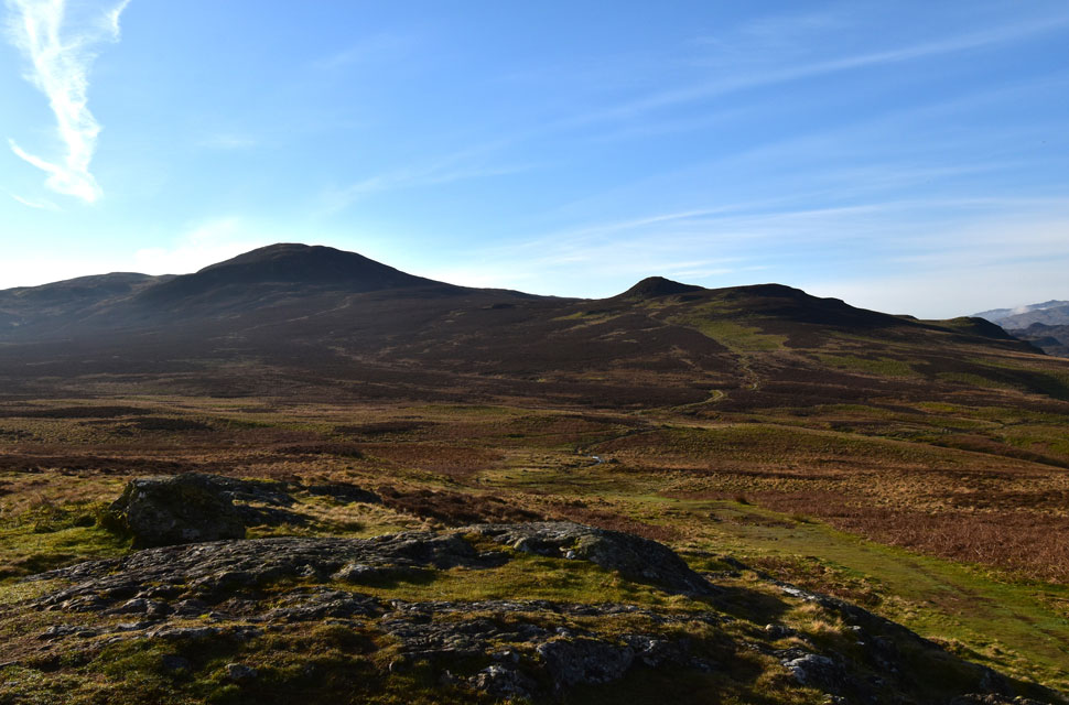
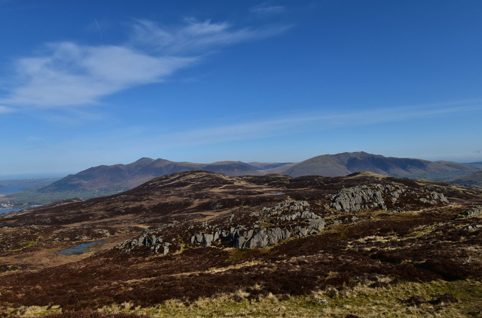
| High Seat from Bleaberry Fell. |
| It's a steep slog onto Bleaberry Fell helped by the stone staircase that winds its way to the viewing cairn on the summit shoulder, where we could see why the cairn would often be mistaken for the actual summit cairn. We stopped for a few moments, gaining composure after the steep climb, while taking in the views over Skiddaw and Blencathra. |
 |
| High Seat bound. |
| We were passed by the chap you see in the foreground and 'mornings' were shared before taking in the gentle descent and joining the ridge towards High Seat. |
 |
| Looking back on Bleaberry Fell. |
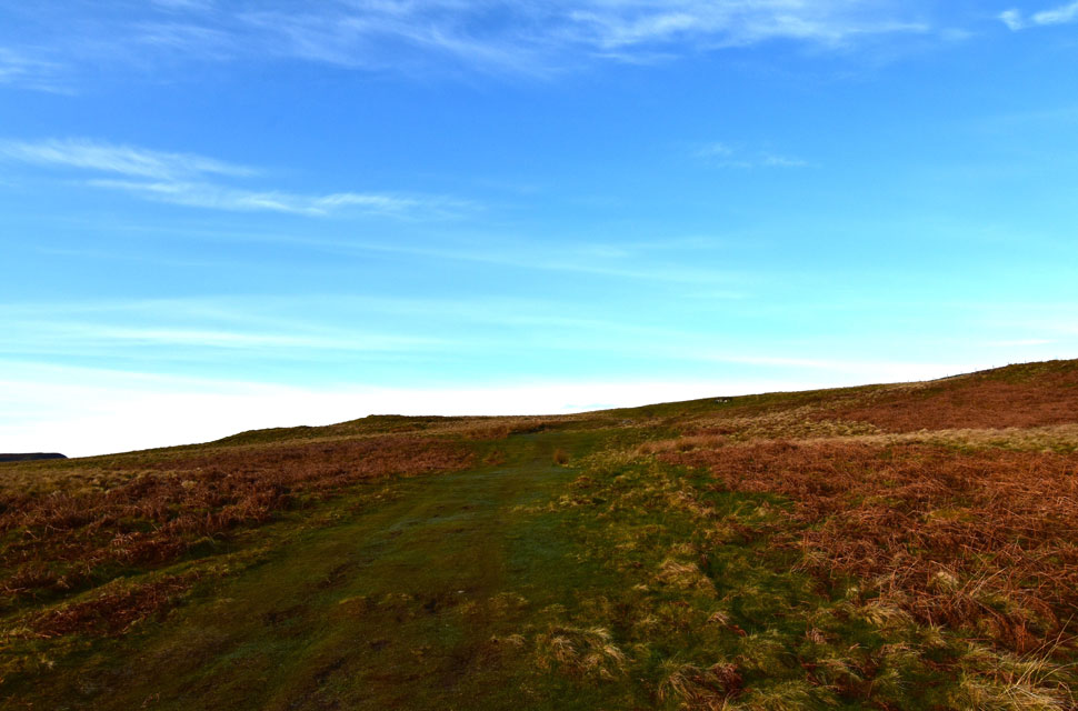
| It didn't take long for the path to run into mud and bog, where we found ourselves making detours accompanied by the constant squelching as boots exited bog. |
 |
| Views open up to include Skiddaw and Blencathra as we make our way onto High Seat. |
| Don't let the sunshine and blue skies fool you, it was soooo wet across here but lovely and pleasant in the sunshine. |
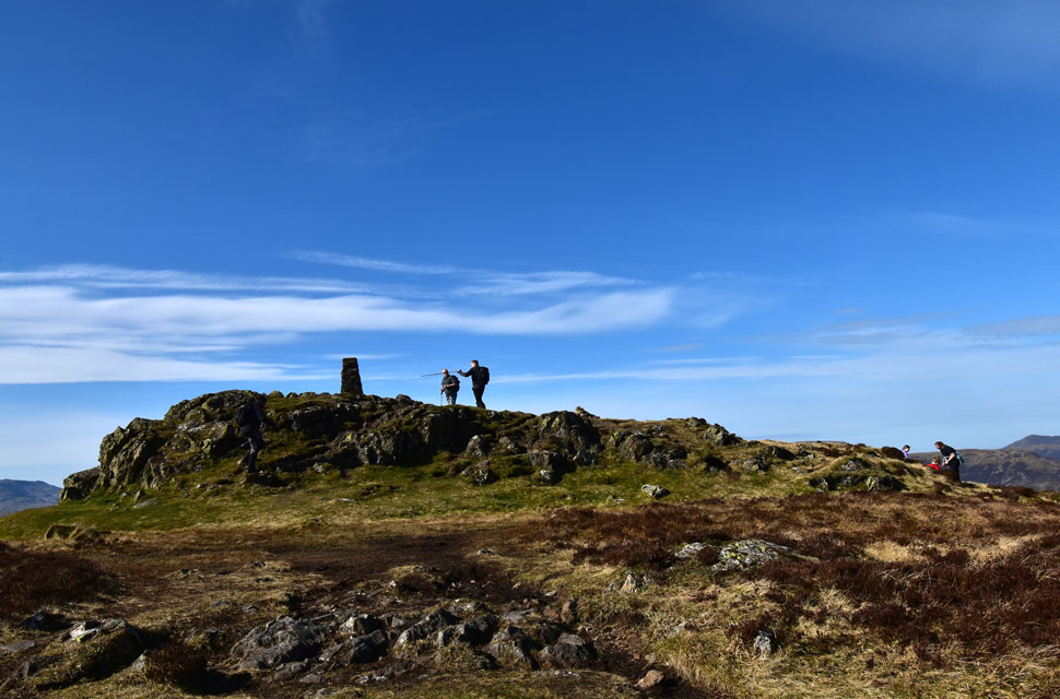 |
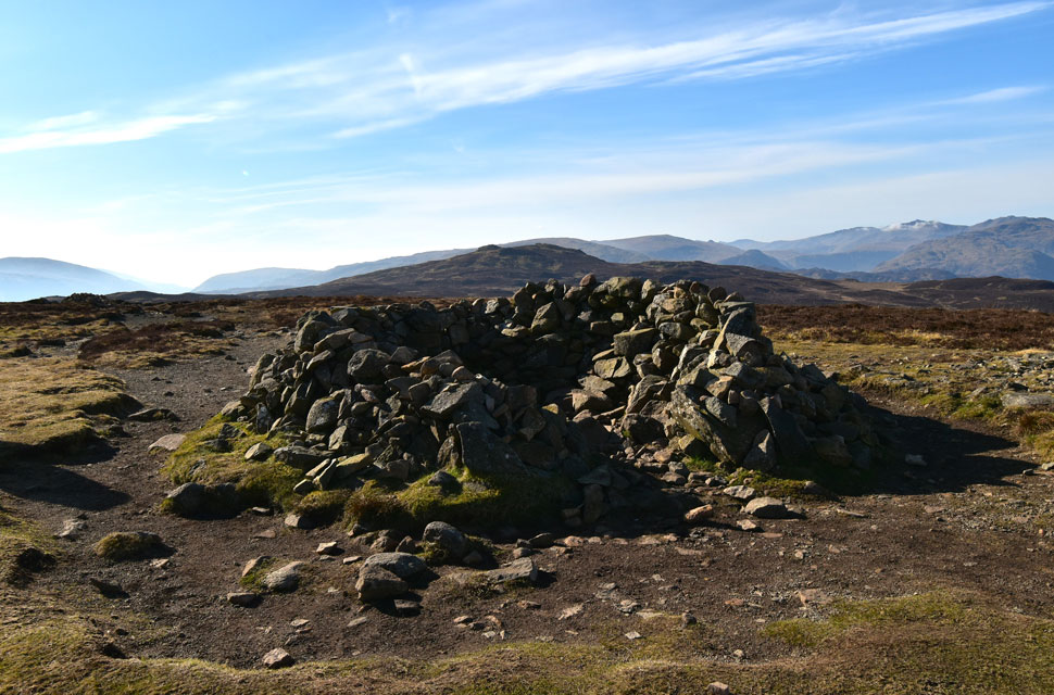
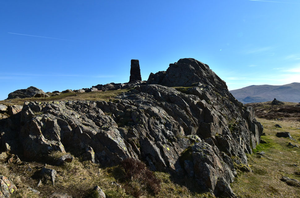
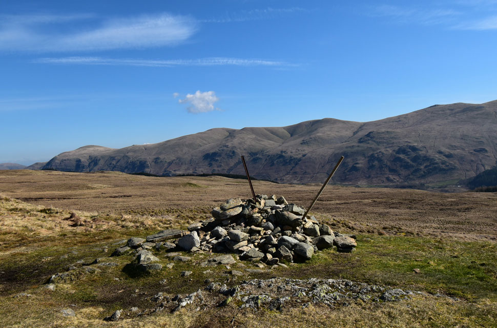
| High Seat summit. |
| David, Michael and Rod making their ascent onto High Seat summit. Bearing in mind how nice the weather is, we'd only seen a handful of people up to now including the young family sat on the opposite side of the summit. |
 |
| High Seat summit trig point. |
| Demonstrating how to sit perfectly on a plinth of rock. |
 |
| Looking back towards Bleaberry Fell, Skiddaw and Blencathra. |
| Exposed to a cool wind now the setting appears much warmer than it actually was. |
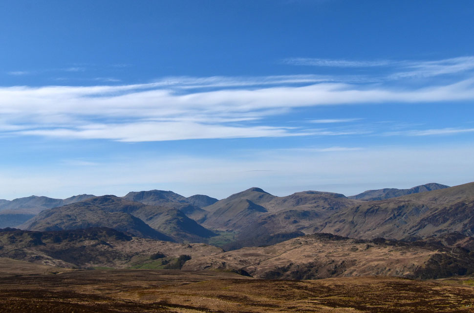 |
| Across the Borrowdale Valley. |
| We took in the views towards Seathwaite, Grange Fell, Rosthwaite Fell, Glaramara, Bow Fell, Esk Pike, Great End, Seathwaite Fell, III Crag, Scafell Pike, The Gables, Base Brown, Kirk Fell, Pillar and Seatoller Fell. |
 |
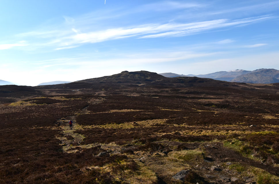
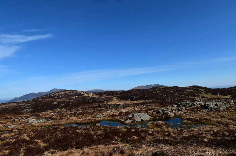
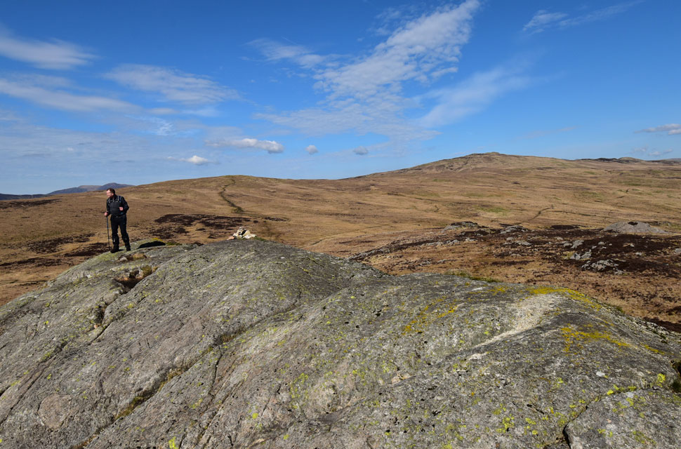
| High Tove (right foreground) seen beyond The Pewits. |
| From High Tove we'll be heading over to Armboth Fell (left foreground) which has now overtaken The Pewits for the boggiest place in Lakeland! |
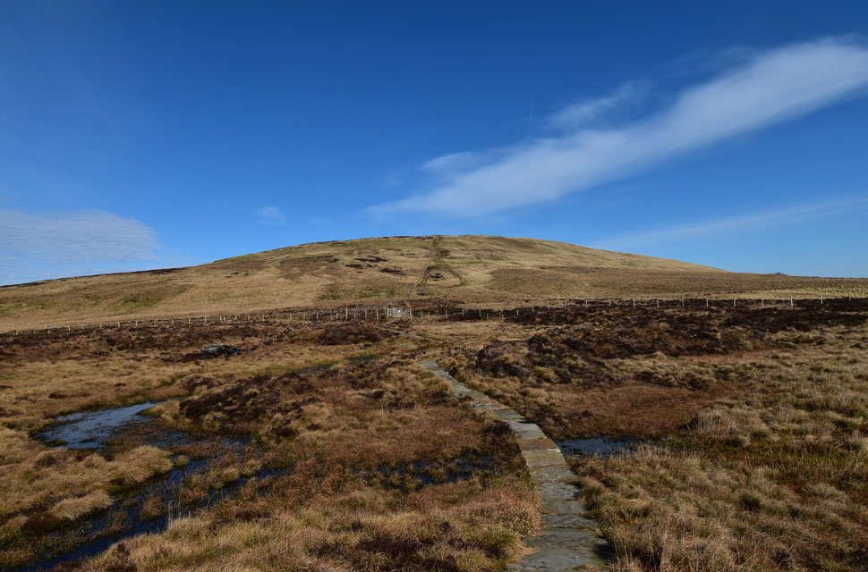 |
| Looking back on High Seat from the Pewits. |
| Had it not been for the paving slabs we'd be walking through all that bog water. |
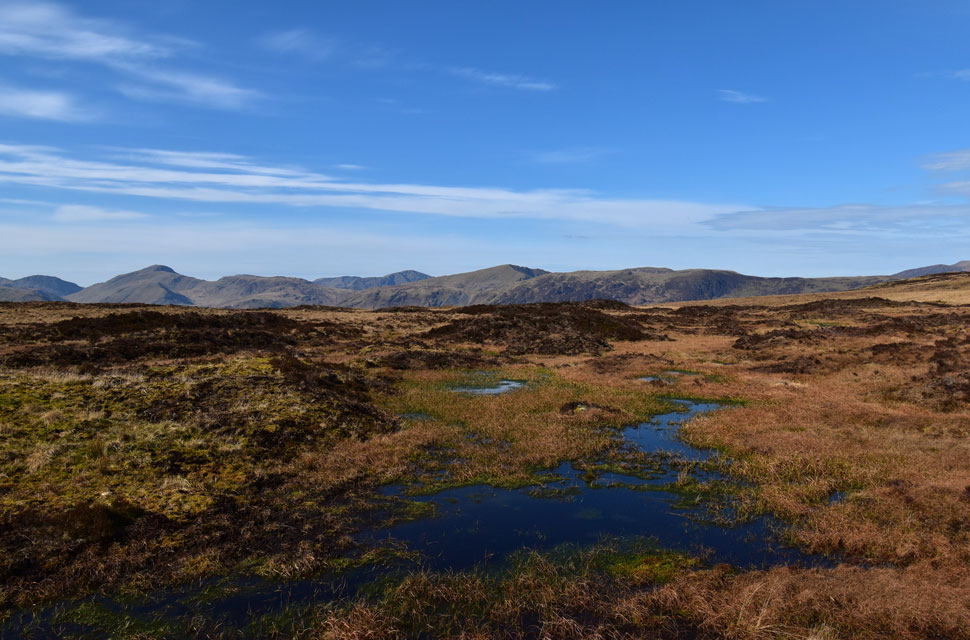 |
| Splendid views from The Pewits. |
| |
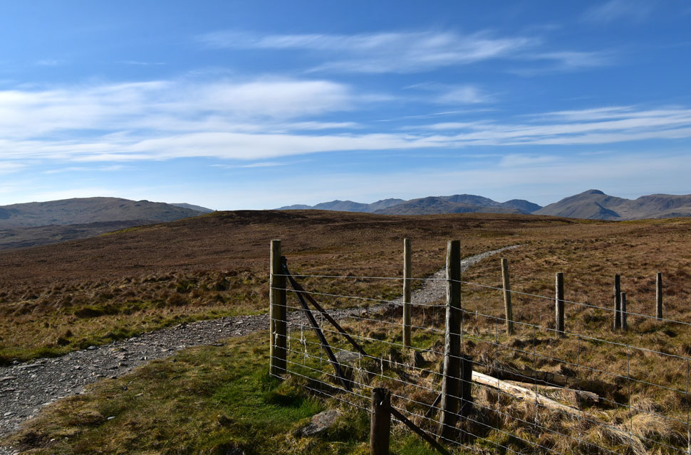 |
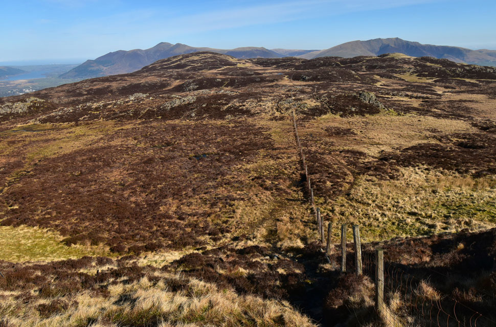
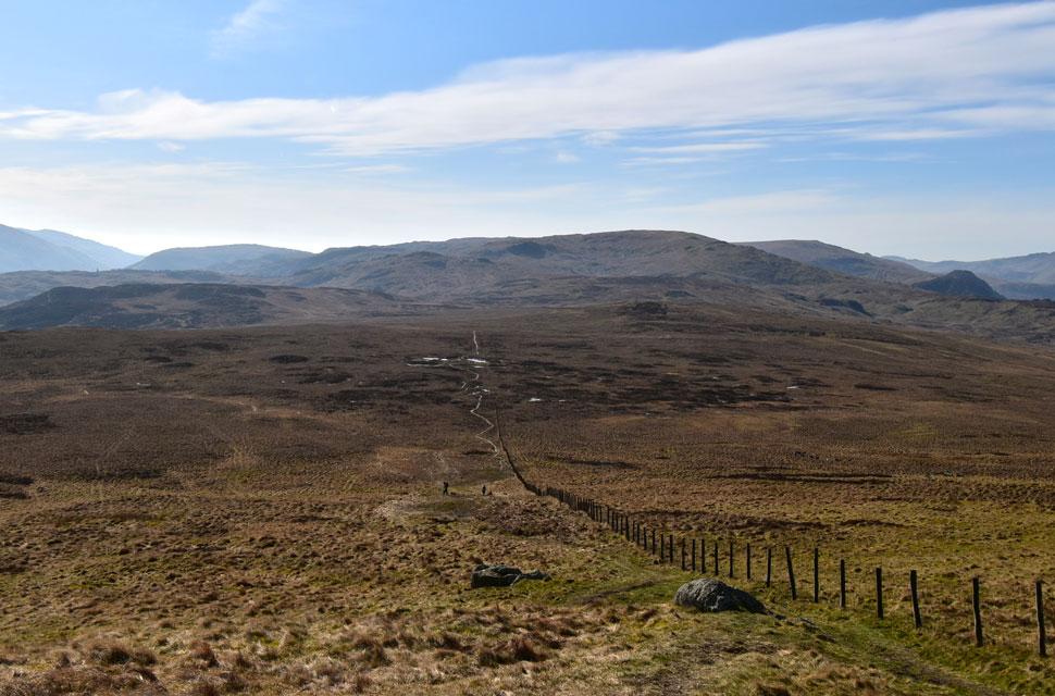
| High Tove appears. |
| Where the familiar fence turns right across the ridge. |
 |
| Clough Head, Calfhow Pike, Great Dodd, Watson's Dodd, Stybarrow Dodd and Raise from High Tove. |
| Although we had left the slabs behind at The Pewits we still had a stoney path to follow, which ran out just shy of reaching High Tove where we were succumbed to bog dodging, a sport that we all excelled at! |
 |
| Views over Armboth Fell towards White Side, Browncove Crags, Helvellyn, Nethermost Pike, Dollywagon Pike, Fairfield and Seat Sandal. |
| We descended High Tove into what can only be described as some of the wettest ground in Lakeland as we made our way towards Armboth Fell. It was across here that we came to the conclusion that there was no point in trying to 'go around' the bogs best just to go through it. |
 |
| Michael on Armboth Fell summit. |
| With High Tove (left) and High Seat (right) in the distance. |
 |
| Lunch with a view. |
| With more walkers heading towards Armboth Fell we dropped off the summit and decided on an early lunch within a nearby cluster of boulders and rocks. Despite the damp socks, our lunch table provided the most idyllic and peaceful views. |
 |
| Descending Fisher Gill. |
| With lunch regretfully packed up we were passed by the young family who we'd first seen back on High Seat summit but we didn't realise they had two energetic and lovable Jack Russell's with them who craved our attention while bouncing between the four of us. |
 |
| Almost at the bottom of Fisher Gill. |
| With the wind confined to the tops we had descended back into lovely, warm afternoon sunshine. |
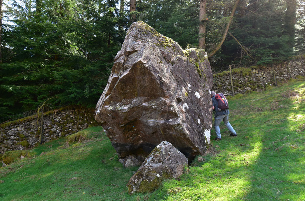 |
| Put you're back into it David. |
| Passing the eratic boulders left behind by the previous ice age. |
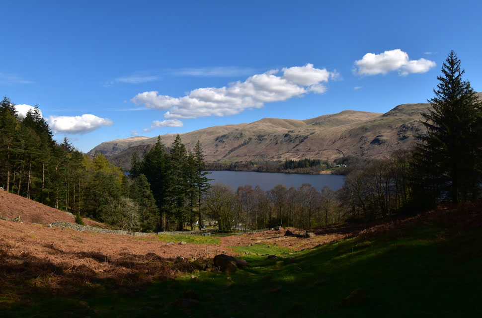 |
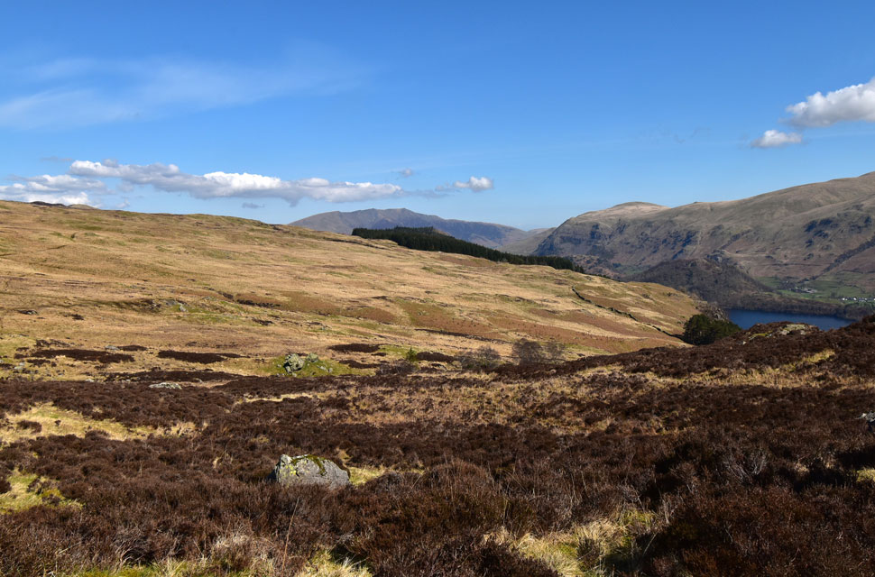
| Descending towards Armboth. |
| With fantastic views over Thirlmere towards Clough Head and The Dodds. |
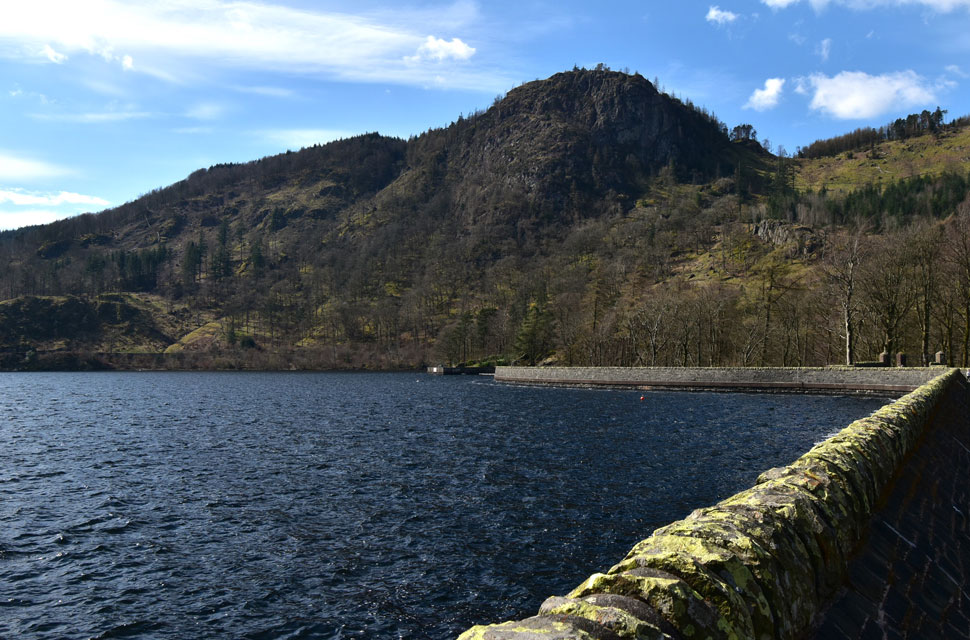 |
| Raven Crag from Thirlmere Dam. |
| |
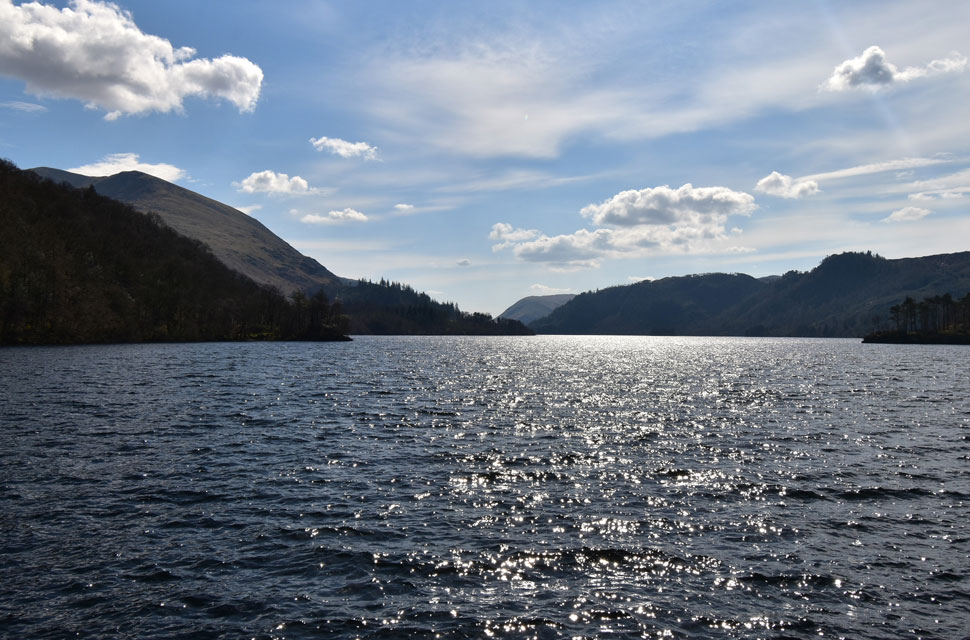 |
| Browncove Crags, Helvellyn Lower Man and Steel Fell from Thirlmere Dam. |
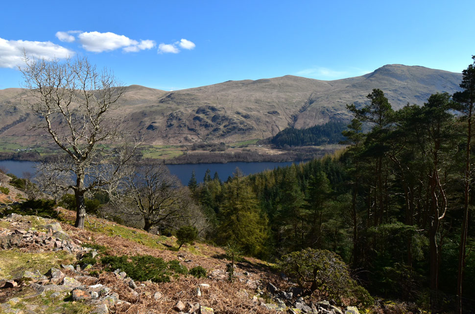
We joined the road on the west side of Thirlmere and walked below the rugged cliffs of Fisher Crag and Raven Crag under warm afternoon sunshine before arriving at the dam, which was busy with visitors, one of whom was verbally amazed at the engineering required to deliver water to the homes of Manchester, all fed by gravity. More visitors are passed, some on foot and some on two wheels.
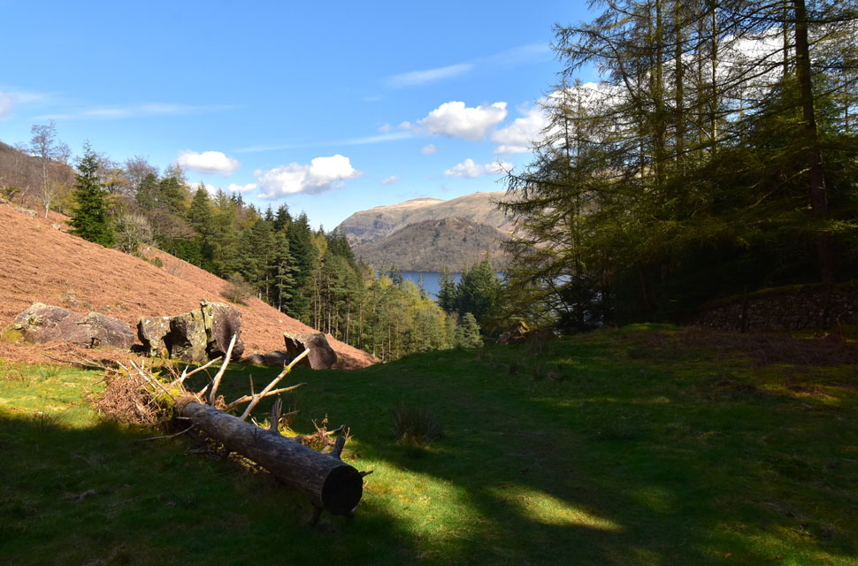
It feels like a proper summers day now, confirmed by slightly tanned faces and empty water bottles. Bridge End Farm is passed, as is the camp site opposite, which was packed with statics, tourers and tents. We could have included High Rigg in to the walk, which would have taken us back to Nest Brow and our waiting cars, but who knew the day would have turned out as nice as it did? Besides, there's a lift waiting at the side of a pile of turnips at the end of the road. |
|
| |
| Back to top |
 |
|