|
A Riggindale Round |
 |
 |
4th April 2023 |
 |
|
Sunday's forecast was marginally better than Saturday's, so I thought I'd do some jobs around the house that I'd been putting off, which included washing Paula's car. With that done, I bent down to pick something up, and thats when I felt my back spasm. This is not uncommon, and I've gotten used to treating it, so after a couple of days, I'm right as rain again. Sunday morning came and my back felt slightly better, so I made the big mistake of driving to Mardale Head to walk this exact route, trouble was, when I got out of my car after an hour and a half drive, straightening up felt painful, which was confirmed once I slung my pack over my shoulder, which thudded against the area where my back felt painful.
I didn't leave Mardale right away; instead, I took some photos and then had Dinner over looking Haweswater, it was stupid and costly to drive all that way, but in another breath, it showed my determination. I spent the rest of Sunday moping around and treating my back again, only to wake up on Monday with just minimal discomfort, funny how two days ago I couldn't straighten up and here I was on the mend. A lot of folk would say take it easy or rest it but I'm as stubborn as a mule when it comes to walking the fells, so I booked the day off and completed what I'd set out to do two days ago. |
|
Wainwright Guide Book Two |
 |
| The Far Eastern Fells |
| "A striking range in grandeur and wilderness" |
 |
| |
|
|
|
| |
|
Overview |
|
|
| Ascent: |
2,539 Feet - 775 Metres |
| Wainwrights: |
4, High Street - The Knott - Rampsgill Head - Kidsty Pike |
| Visiting: |
Rough Crag |
| Weather: |
A Bright Sunny Day With Light Winds & High Level Cloud PM Highs of 12°C Lows of 5°C Freezing Level Above The Summits |
| Parking: |
Car Park, Mardale Head |
| Area: |
Far Eastern |
| Miles: |
7.3 |
| Walking With: |
On My Own |
| Ordnance Survey: |
OL5 |
| Time Taken: |
4 Hours 30 Minutes |
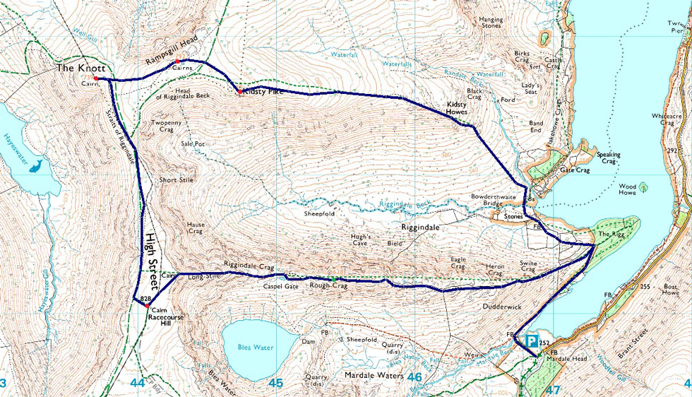
| Route: |
Mardale Head - Rough Crag - Caspel Gate Tarn - Long Stile - High Street - Straights of Riggindale - The Knott - Rampsgill Head - Kidsty Pike - Kidsty Howes - Riggindale Beck - The Rigg - Mardale Head |
|
| |
|
Parking Details and Map |
|
|
| Nearest Post Code: |
CA10 2RP |
| Grid Reference: |
NY 469 310 |
| Notes: |
Probably one of the most scenic car parks in Lakeland found at the head of the Mardale Valley offering easy access onto the High Street fells plus many more. The car park during Summer can fill up quickly but with most car parks in Lakeland if you time your arrival early enough you're always guaranteed a parking place. Parking is free. |
|
| |
|
Map and Photo Gallery |
|
|
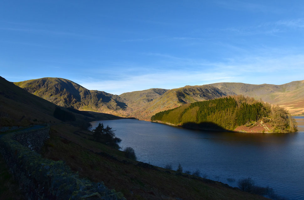 |
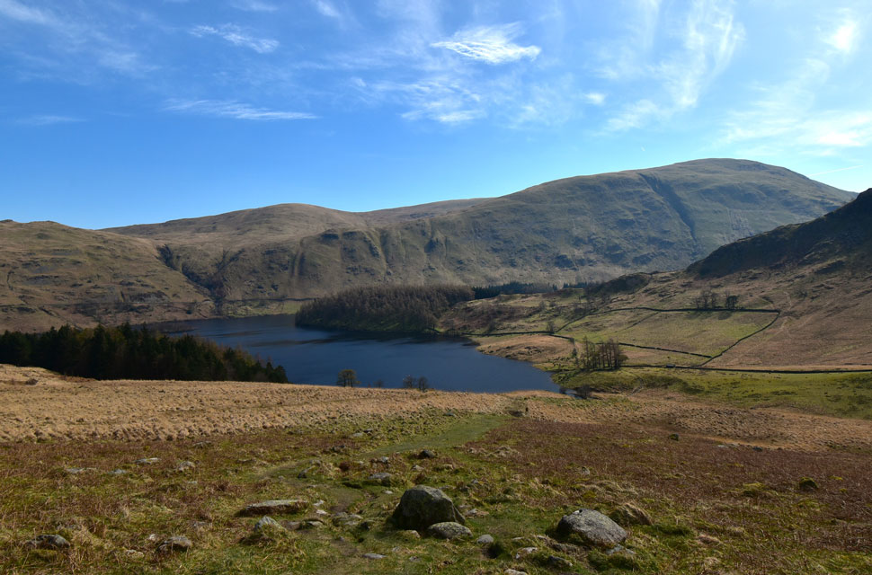
| Mardale Head including Harter Fell, the top of Nan Bield Pass, Mardale III Bell, High Street and the Rough Crag ridge. |
| Mardale was looking stunning this morning especially in the Spring sunshine so I stopped before reaching the car park to take a few photos. |
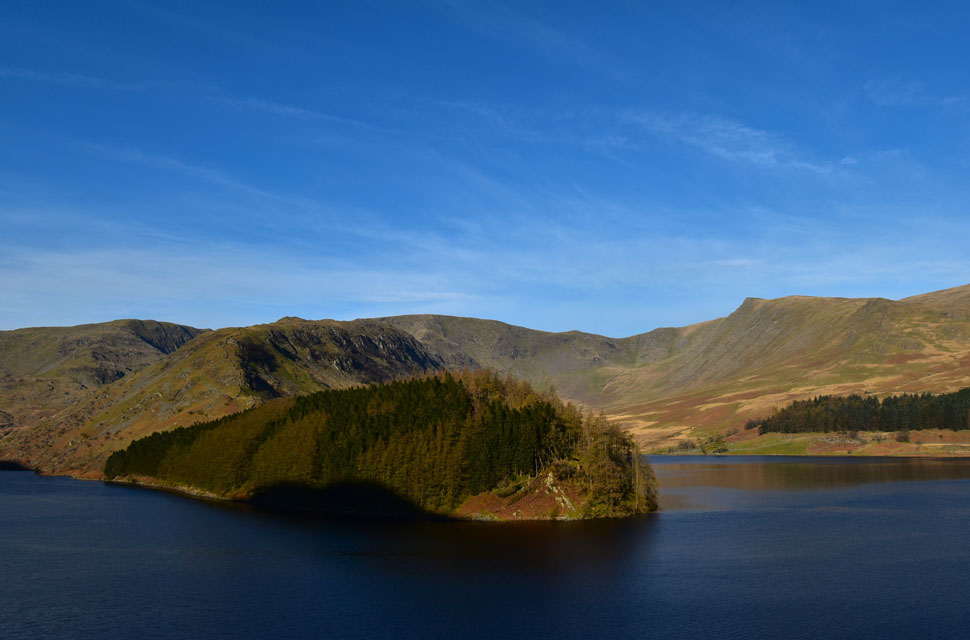 |
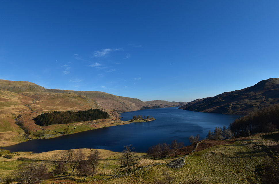
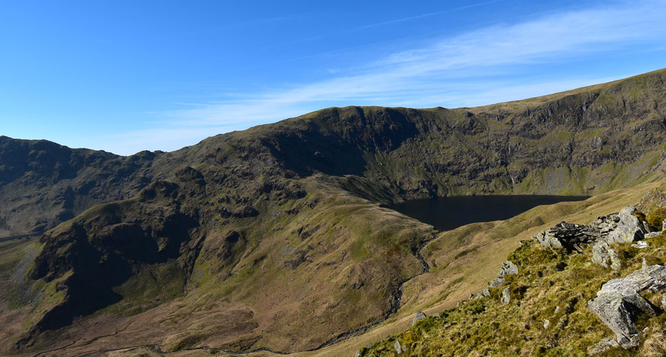
| The Rigg, the Rough Crag ridge, High Street, Riggindale and Kidsty Pike. |
| Great to see the reservoir level is back to normal again. |
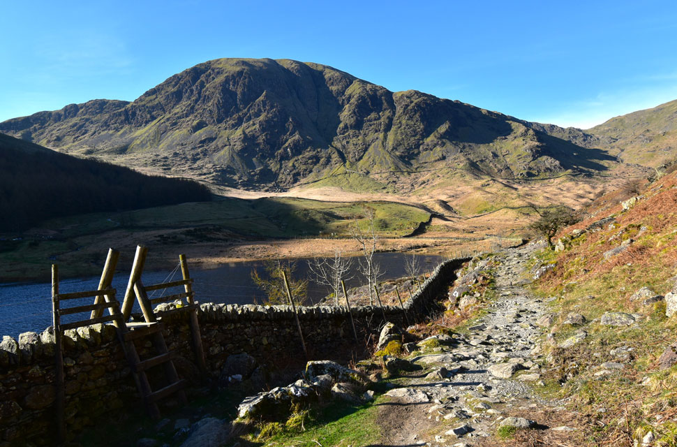 |
| Looking back on Harter Fell (Mardale) 8:45am 5°C |
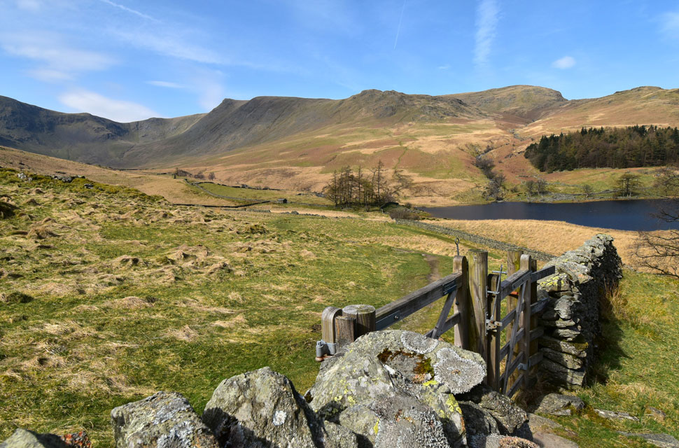
| The beauty of spring is that the sun was just coming up when I left home and was making good progress by the time I reached Mardale Head just over an hour and a half later. Mardale Head was much less busy than Sunday, and I was able to take my pick from the parking spaces, choosing to park closest to the Deer Gate, from where I began my kit up.
Two other guys were kitting up on the opposite side of the car park, and I managed to overhear their route, which began with the ascent of Gatescarth Pass, and once they'd passed through the gate I had the car park to myself. Despite the bright sunshine, it's actually quite cool, bordering on freezing, not helped by the car park being in the shadow of Branstree, so gloves were added, as was my buff which I left loose around my neck. As soon as I crossed into the sunshine, the heat of the morning hit me, and moments before I took this photo, I'd already removed my gloves. |
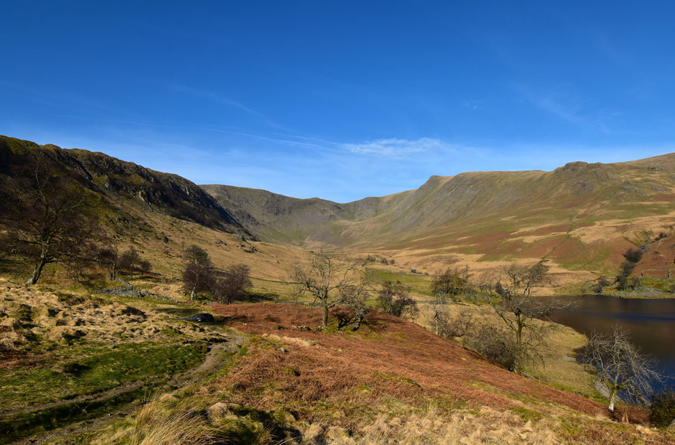 |
| Views into the Riggindale valley. |
| With Long Stile (High Street) seen over on the left, Short Stile seen centre, Kidsty Pike, right and finally Kidsty Howes far right. |
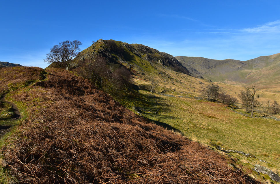 |
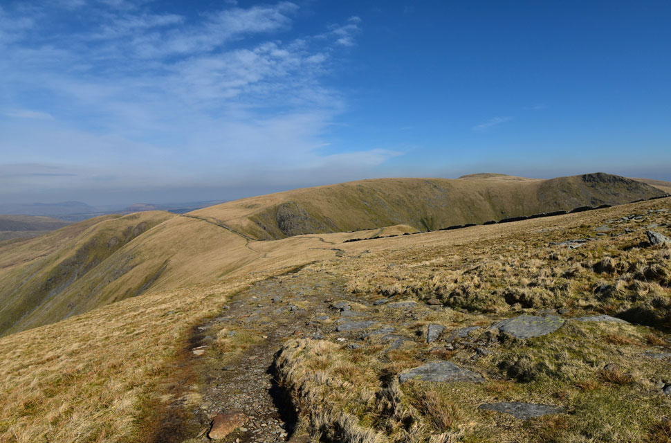
| The beginning of my ascent starts with Swine Crag. |
| ...I could have taken the steep short-cut path, which tops out roughly where the tree is ahead, but if I'd done that, I'd have missed out on a brilliant view like this. |
 |
| ...and this. |
| Here stopping to admire the view over Haweswater Reservoir towards a distant Four Stones Hill. |
 |
| Looking down on Haweswater and Brown Howe from Swine Crag. |
| As far as Lakeland views go I think this one speaks for itself. |
 |
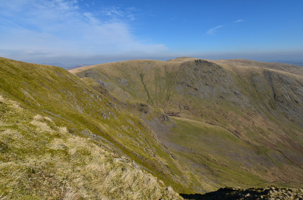
| Between Eagle Crag and Rough Crag... |
| ...I get my first proper view of Blea Water with Mardale III Bell above and the top of Nan Bield Pass over to the left, note the stone shelter set in the hillside in the foreground. |
 |
| High Street and Long Stile from Rough Crag. |
| I was making great time no doubt spurred on by a healthy mix of sunshine and windchill. |
 |
| Descending Rough Crag. |
| As I continue towards Caspel Gate. |
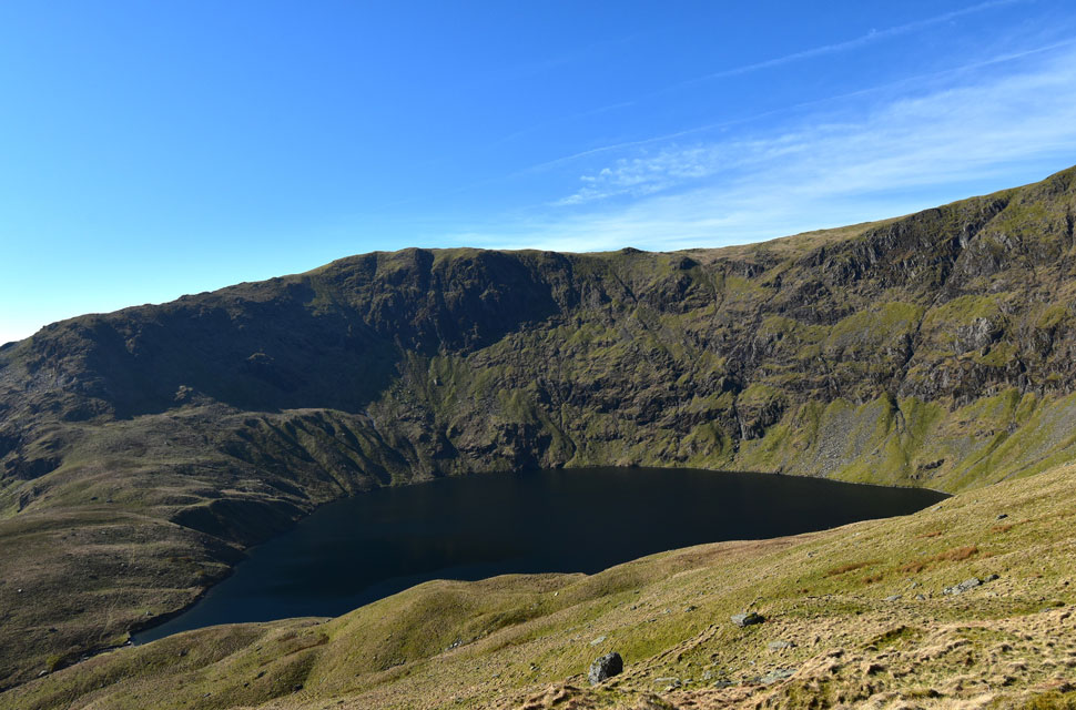 |
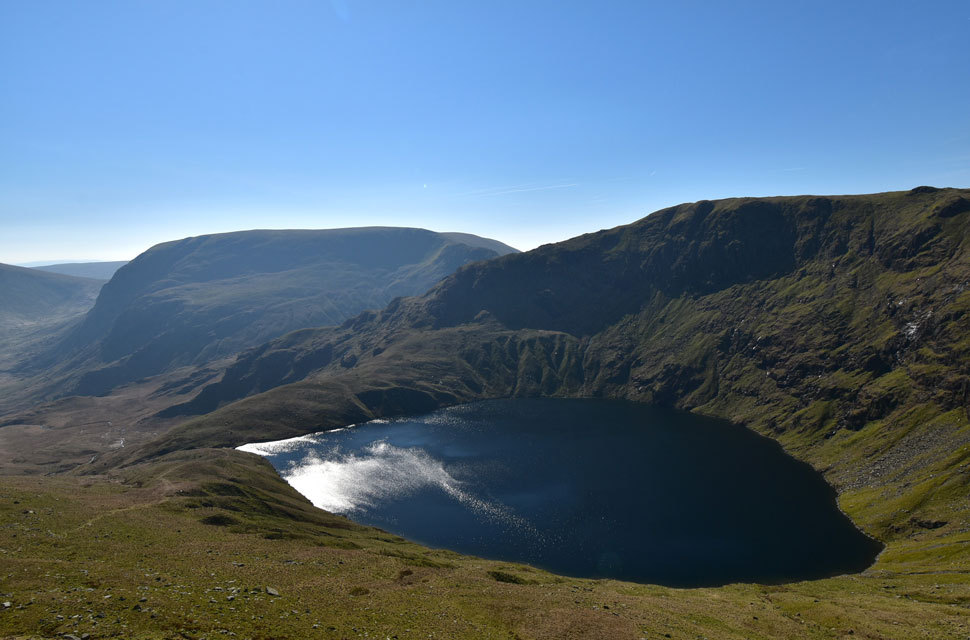
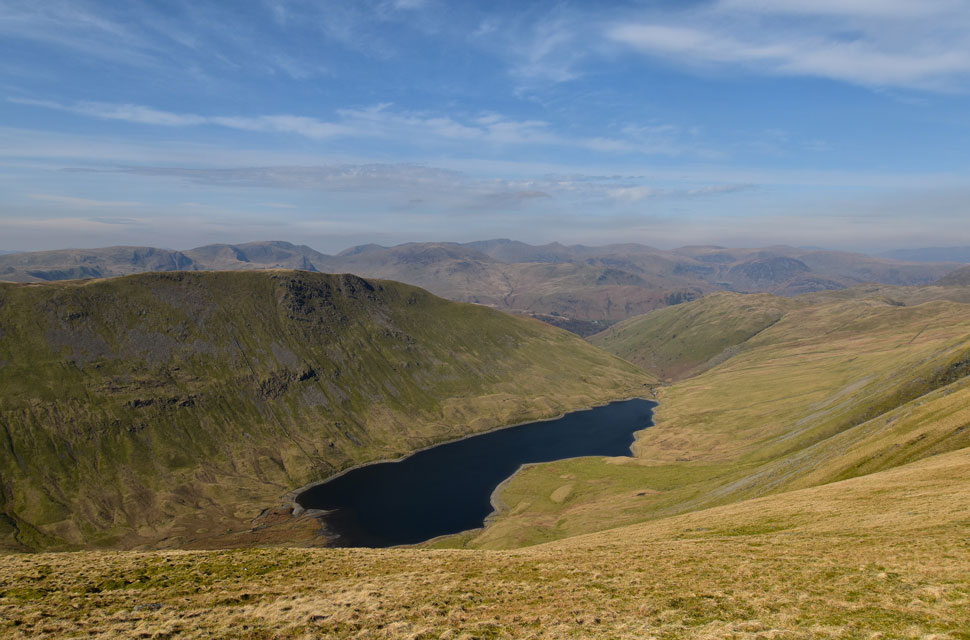
| Another striking view of Blea Water. |
| At just over 200 feet deep, Blea Water is the deepest tarn in the Lake District. |
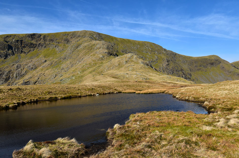 |
| Long Stile and Short Stile from Caspelgate Tarn. |
| As I have mentioned during previous visits this tarn is actually unnamed on the OS maps but I feel Caspelgate Tarn is appropriate given its location. |
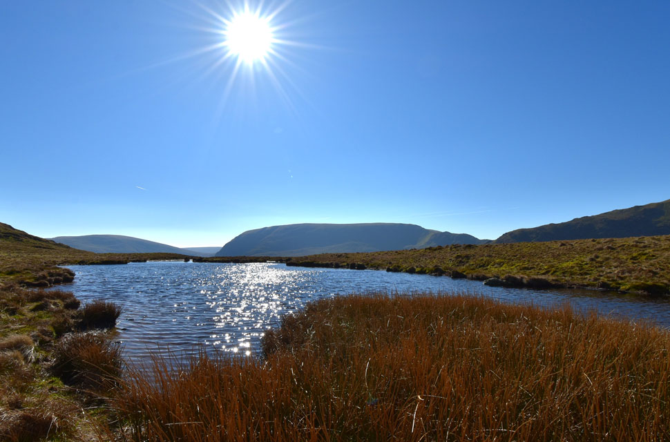 |
| Looking back on Branstree, Grey Crag, Harter Fell (Mardale) and Mardale III Bell. |
| From a sun drenched Caspelgate Tarn. |
 |
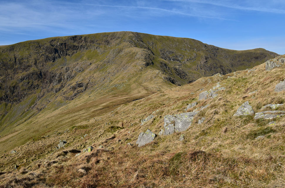
| Pausing to look back on the Rough Crag ridge from the ascent on Long Stile. |
| It's a fair old ascent up Long Stile which is broken up into lovely sections of craggy outcrops, narrow twisting paths and excellent views back along the ridge. |
 |
| Views over Blea Water... |
| ...towards Mardale III Bell, Blea Water Crag and the bulk of Harter Fell seen with a slight haze. |
 |
| Not far from the top of Long Stile. |
| When you get this great view into Riggindale, Short Stile, Two Penny Crag, Kidsty Pike and High Raise. |
 |
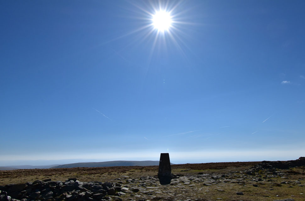
| High Street summit trig point comes into view. |
| With the top of Long Stile reached, I took in the view back along the ridge and beyond, as far as Shap Quarry and the M6 Motorway. It was the same view we'd seen from our wild camp back on Harrup Pike last summer, only then we were sleeping with the midges and not fighting off the windchill! |
 |
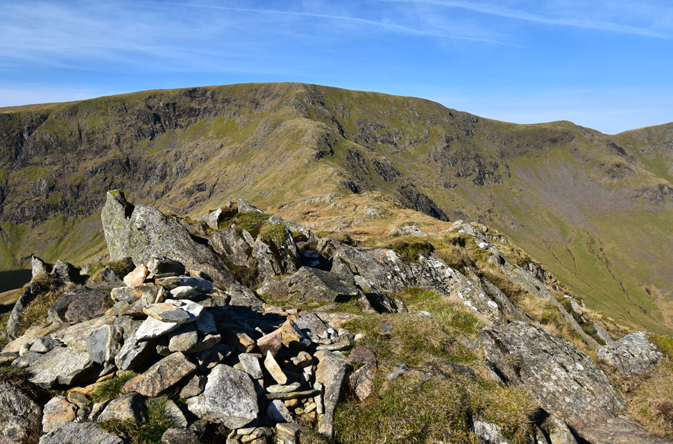
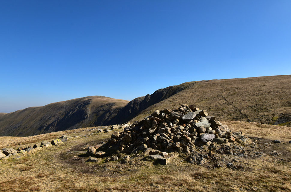
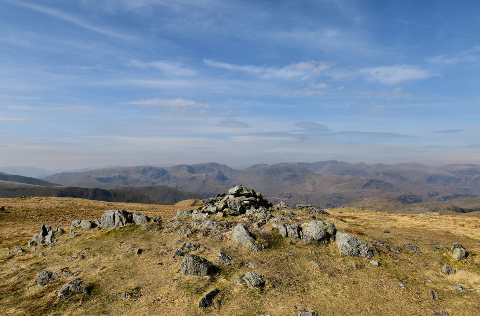
| High Street summit. |
| Summits are never just summits. |
 |
| Descending towards the Straights of Riggindale. |
| With views of Kidsty Pike, High Raise (Martindale) and The Knott which is where I'm heading next. |
 |
| The Straights of Riggindale. |
| Here leaving the path on the Hayeswater side to check out the view from the Riggindale side before switching back again. |
 |
| Looking down on Hayeswater (formally Hayeswater Reservoir) |
| With Gray Crag towering above and the Fairfield and Helvellyn ranges within a mix of haze in the distance. |
 |
| Before I make my way over to The Knott. |
| I look back to take in another fine view of High Street from the Straights of Riggindale. |
 |
| The wider view. |
| Includes Hayeswater Gill and Thornthwaite Crag over on the right. |
 |
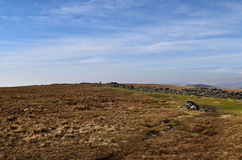
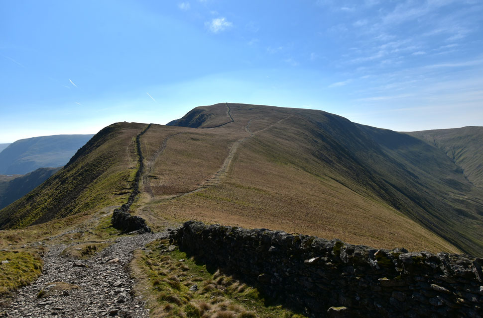
| Rampsgill Head and High Raise (Martindale) from The Knott summit. |
| It was between the Straights of Riggindale and reaching The Knott that I first started to pass other walkers, two pairs of whom walked past The Knott and continued towards High Street. |
 |
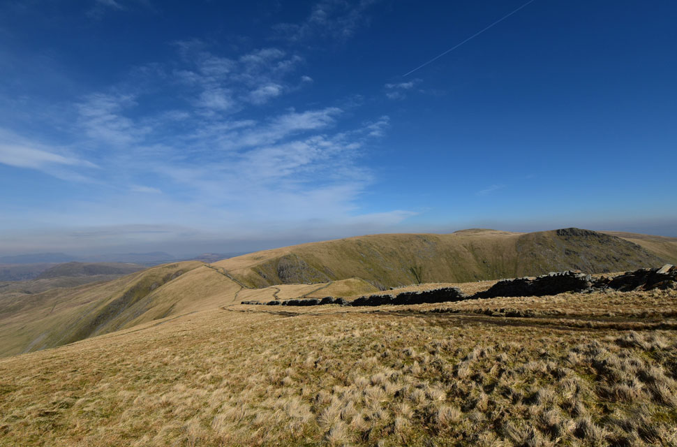
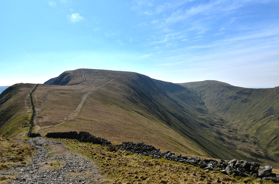
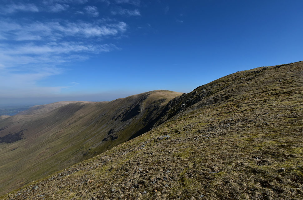
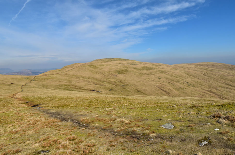
| Looking back on The Knott and the haze of the Eastern fells. |
| The wind was starting to whip up and with it came a drop in temperature, so I began the short descent, crossed the main path for High Street, and began the steady ascent on Rampsgill Head, pausing here to look back on two walkers making their ascent on The Knott. |
 |
| High Raise (Martindale) Raven Howe, Red Crag, Wetner Hill and finally Loadpot Hill in the distance. |
| Perhaps one of the most sublime ridge walks in the Lake District. |
 |
| The view into Rampsgill, with Rest Dodd and The Nab seen flanking the valley. |
| This is perhaps more of a reconnaissance photo, as the trio has plans for Rampsgill within the coming weeks. |
 |
| The Eastern Fells from Rampsgill Head. |
| If it wasn't for the haze todays fell walk would be getting an 11/10 instead of the 10/10 I'd settled on. |
 |
| High Raise (Martindale) |
| As seen from the approach to Kidsty Pike. |
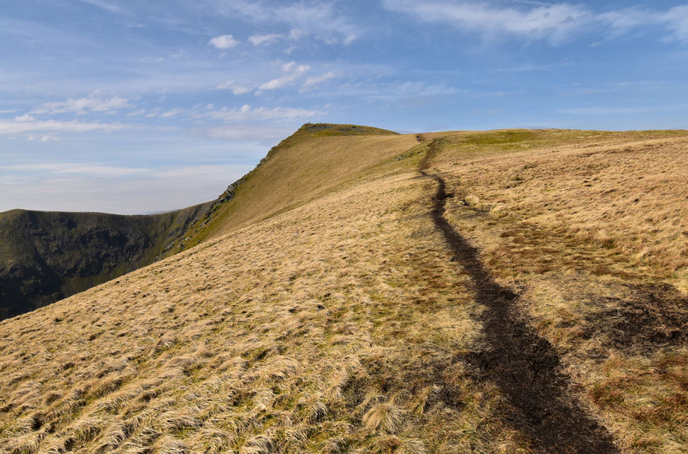 |
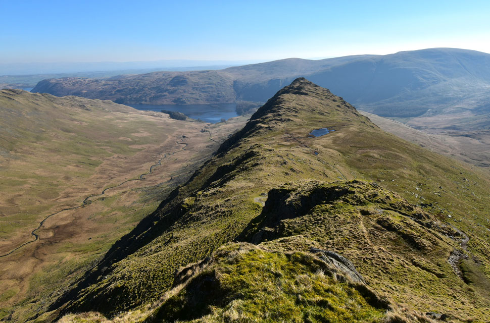
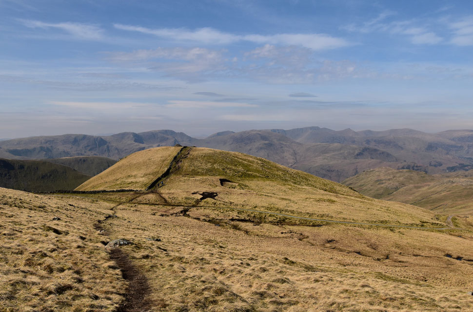
| Looking back on Kidsty Pike. |
| Where many a fell walker had congregated so after a few hi's and hello's I began my descent. |
 |
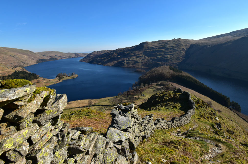
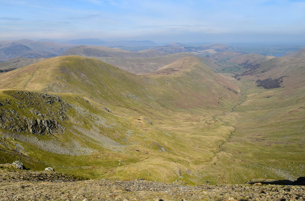
| Views over Haweswater and The Rigg towards Selside Pike and Branstree. |
| |
 |
| Kidsty Pike, Kidsty Howes and Low Raise from Riggindale. |
| The midday heat had finally caught up with me, and before I began the twisting and sometimes steep descent of Kidsty Howes, I de-layered so I could descend in comfort. With Haweswater sparkling below, I continued my descent, reaching the smooth grass, where I kicked my feet into the backs of my boots, the shift feeling heavenly. Down below, a couple are making their way up but stops to rest on a large boulder, where a 'hi' was shared as I passed. Just above Bowderthwaite Bridge, the ground began to squelch underfoot — an area of bog that I'm all too familiar with, even in the heights of summer.
I gazed back into Riggindale as a layer of high white clouds notched the brightness down a level, turning the Rough Crag ridge into complete shade, which prompted the words 'great timing' The clouds continued to gather, but nothing significant as the heat of the afternoon remained. I passed the familiar standing stones and wondered about their history before making my way towards The Rigg and beginning my descent back to the Mardale Valley, where windscreens glistened in the sun, which for me signified the start of Spring in Lakeland. |
|
| |
| Back to top |
 |
|