Elterwater, Skelwith Bridge & Rydal from Grasmere

17th December 2022

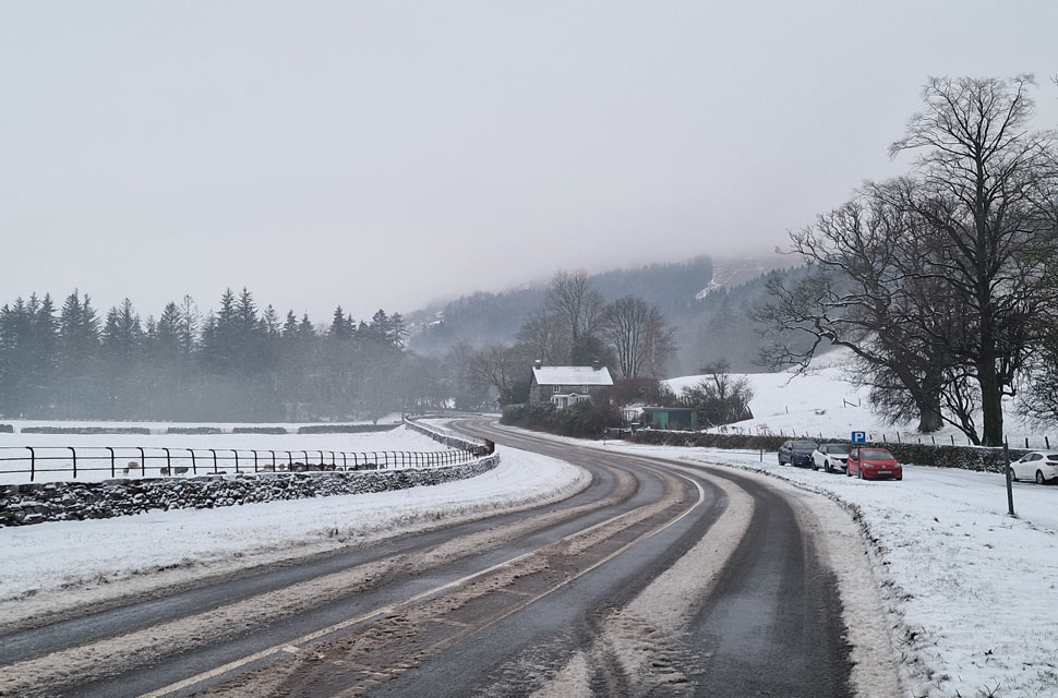
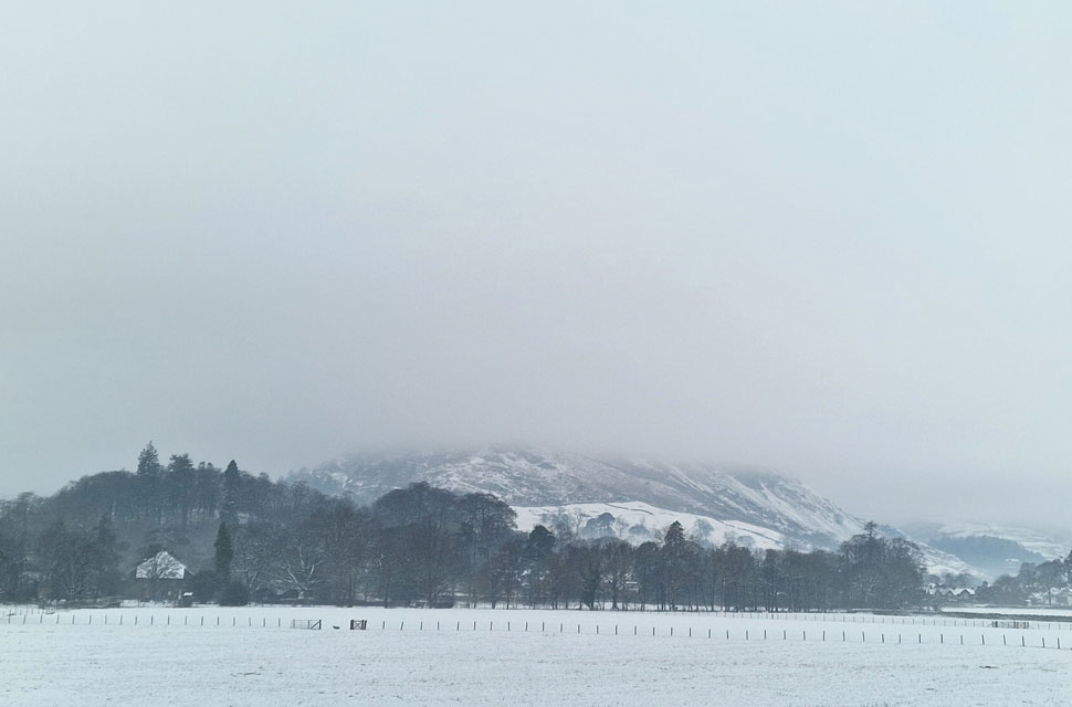
After what can only be described as some of the finest Winter walking conditions over the past week overnight snow has caught Cumbria County Council by surprise leaving trunk roads un-gritted resulting in stranded cars along the A591 and accident after accident. I left the M6 at junction 36 but it wasn't until I reached the junction for the A590 did the chaos begin. Cars with their indicators still flashing were left abandoned along the carriageway. Police were doing their best helping the owners of vehicles which had left the carriageway who had also been caught by the sudden change in road conditions. My headlights lit up one carriageway and a set of tyre tracks left by vehicles further up the road who like me were travelling at less than 20mph by now. To say my heart was in my mouth would have been an understatement, I couldn't believe the roads hadn't been gritted.

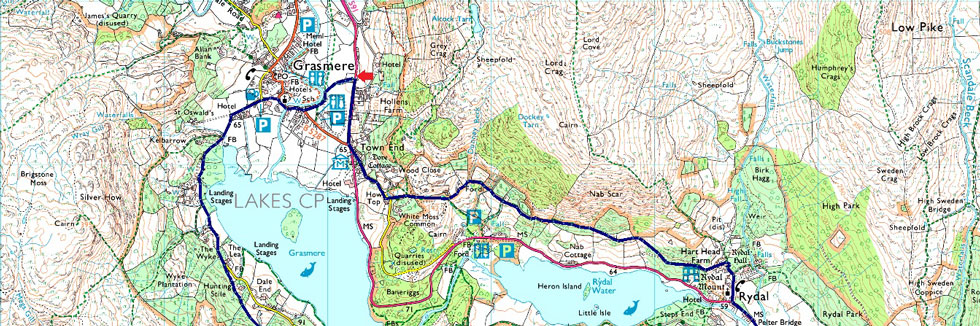
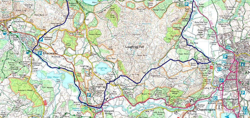
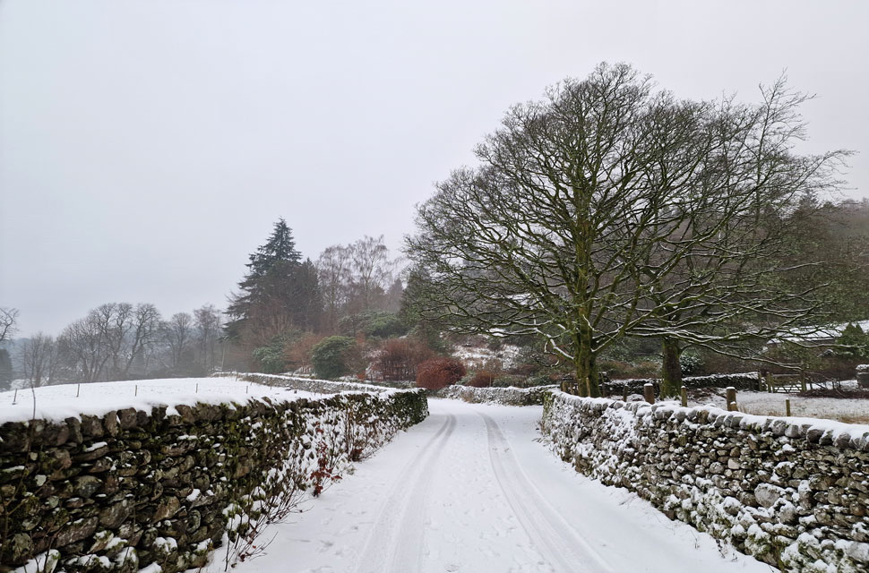
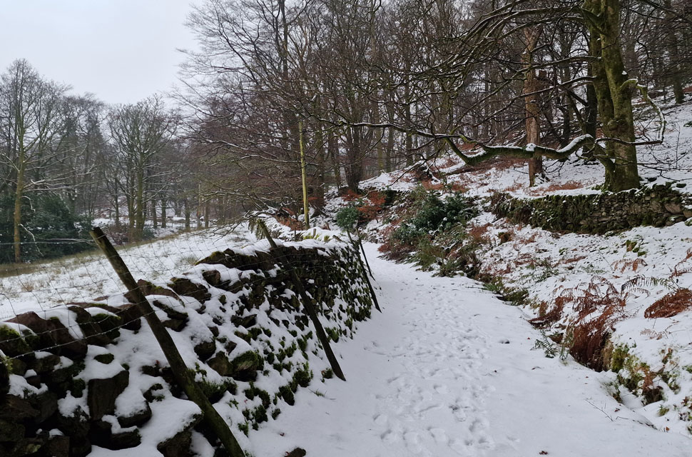
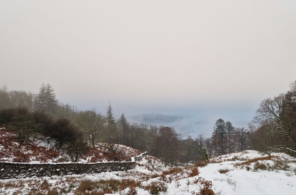
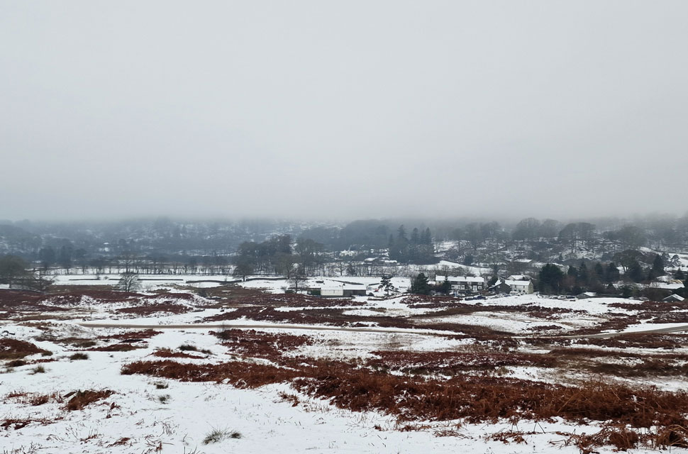
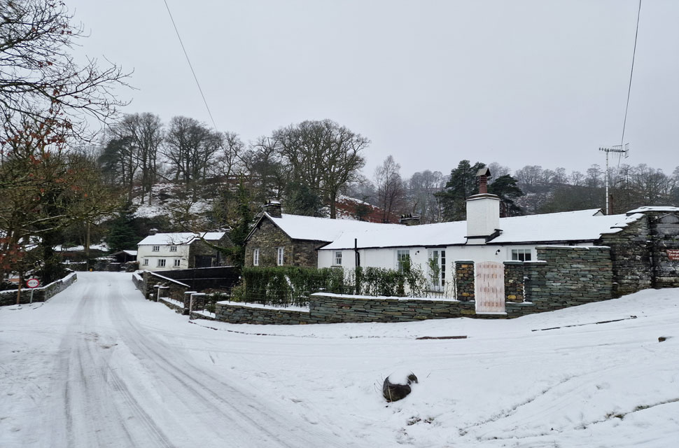
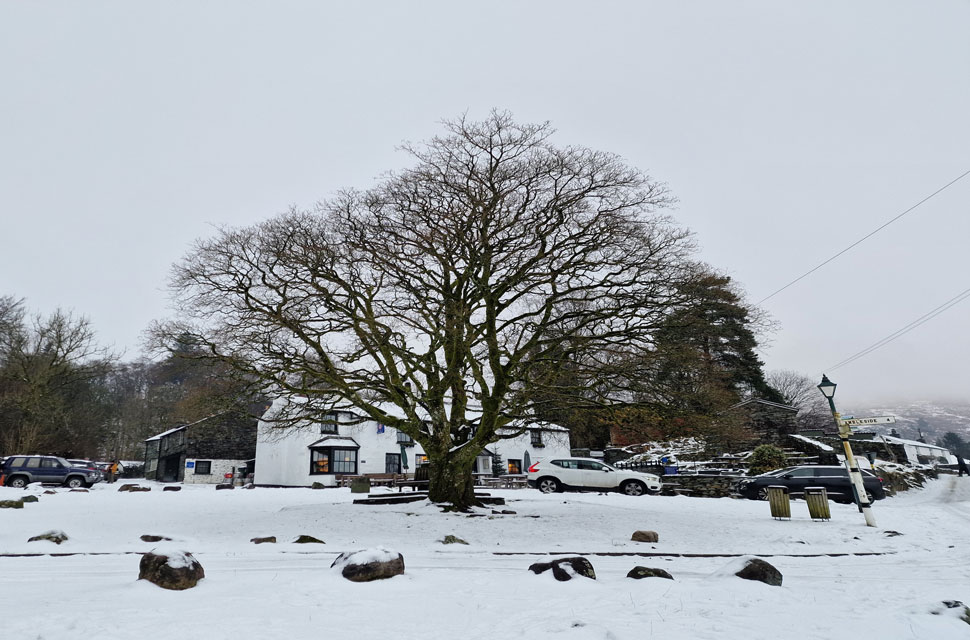
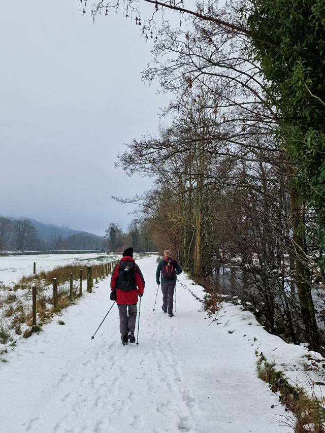
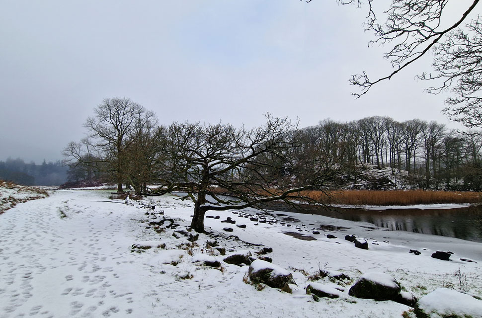
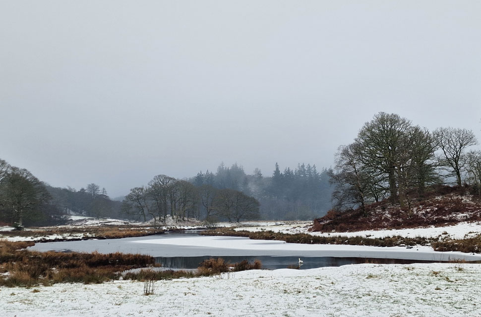
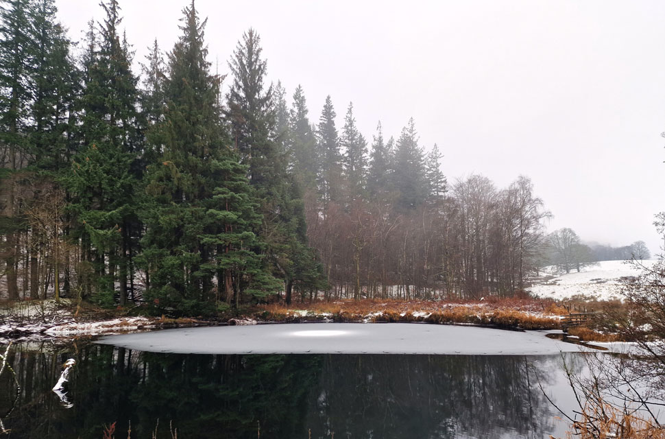
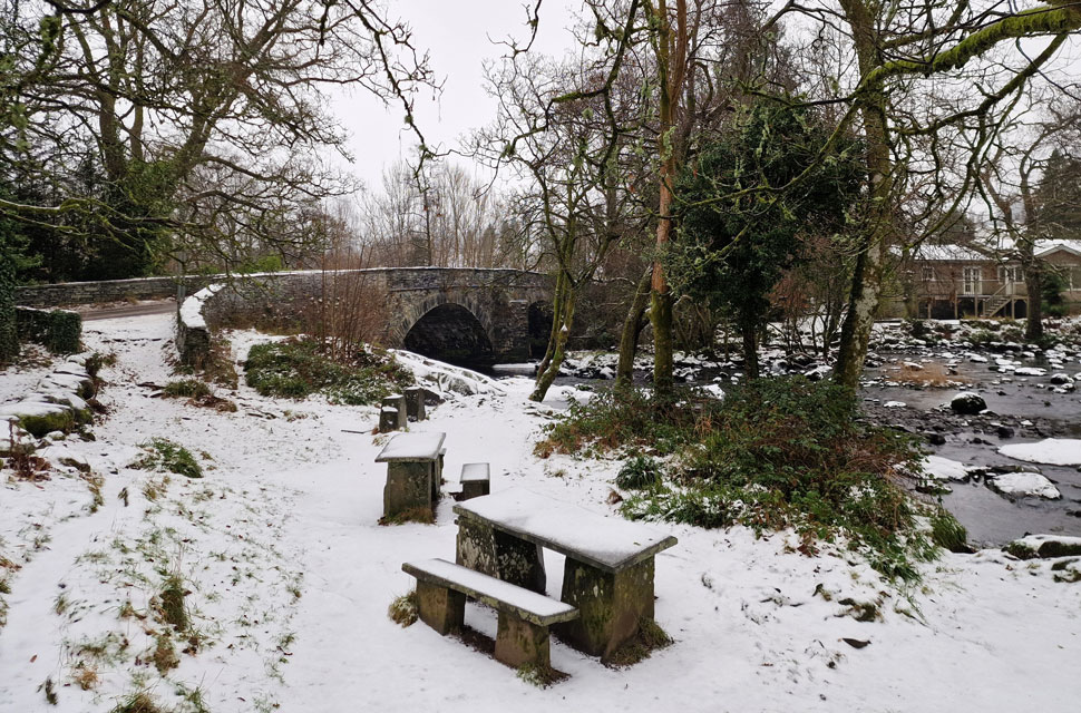
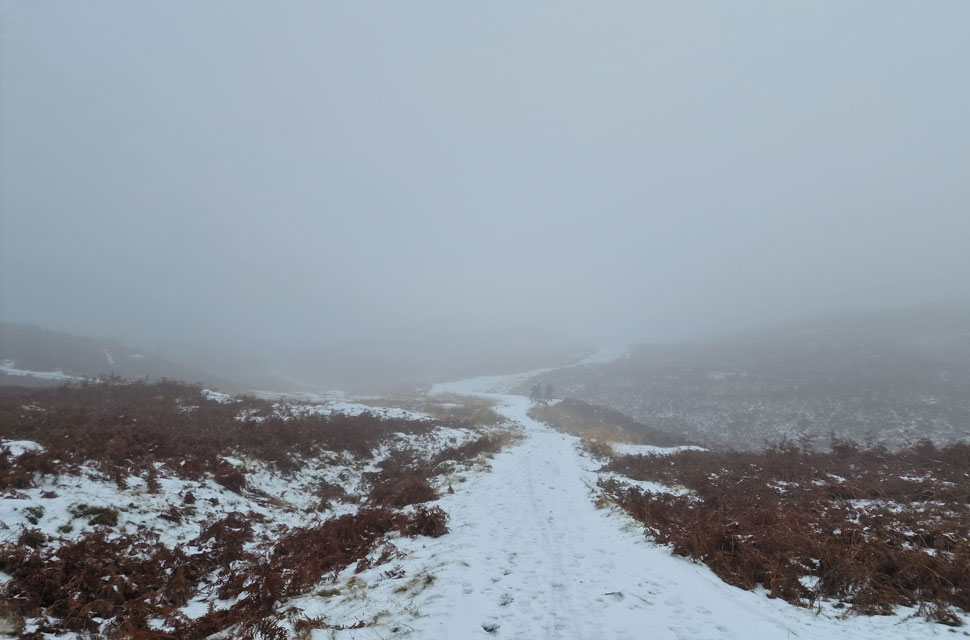
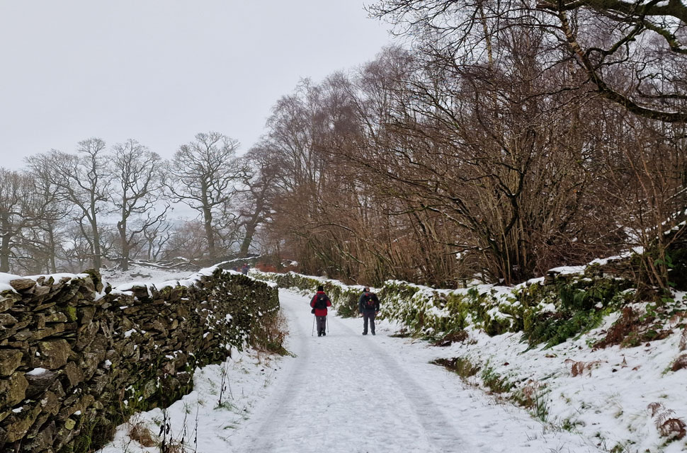
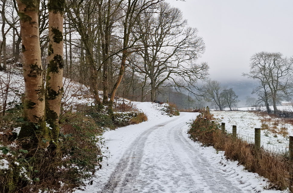
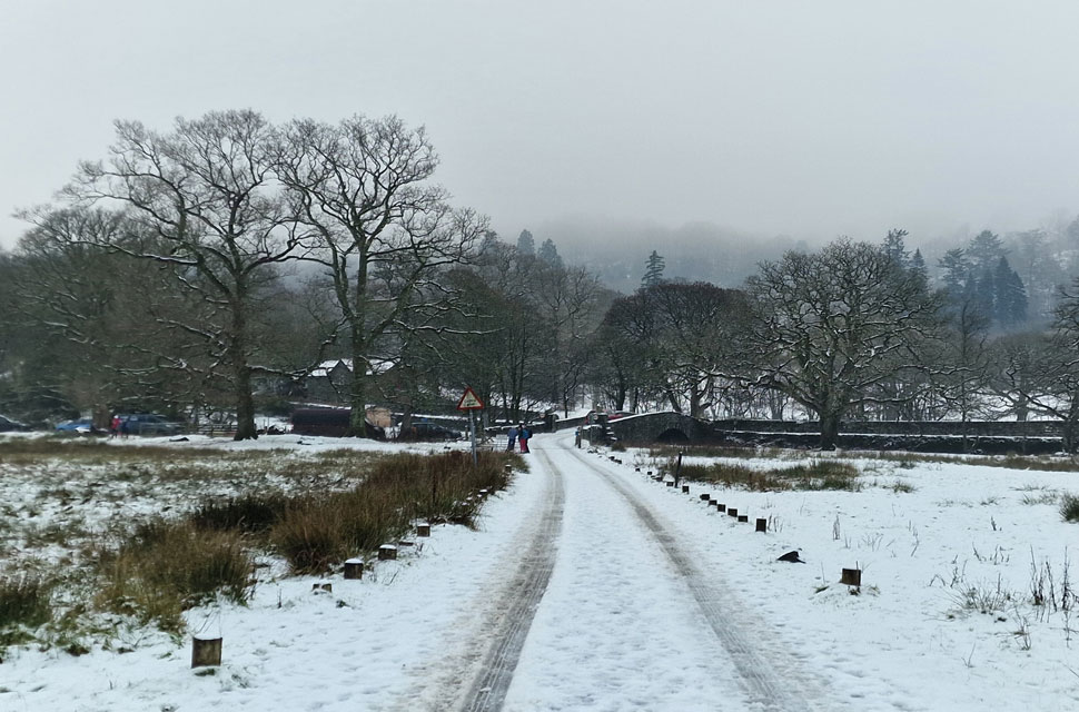
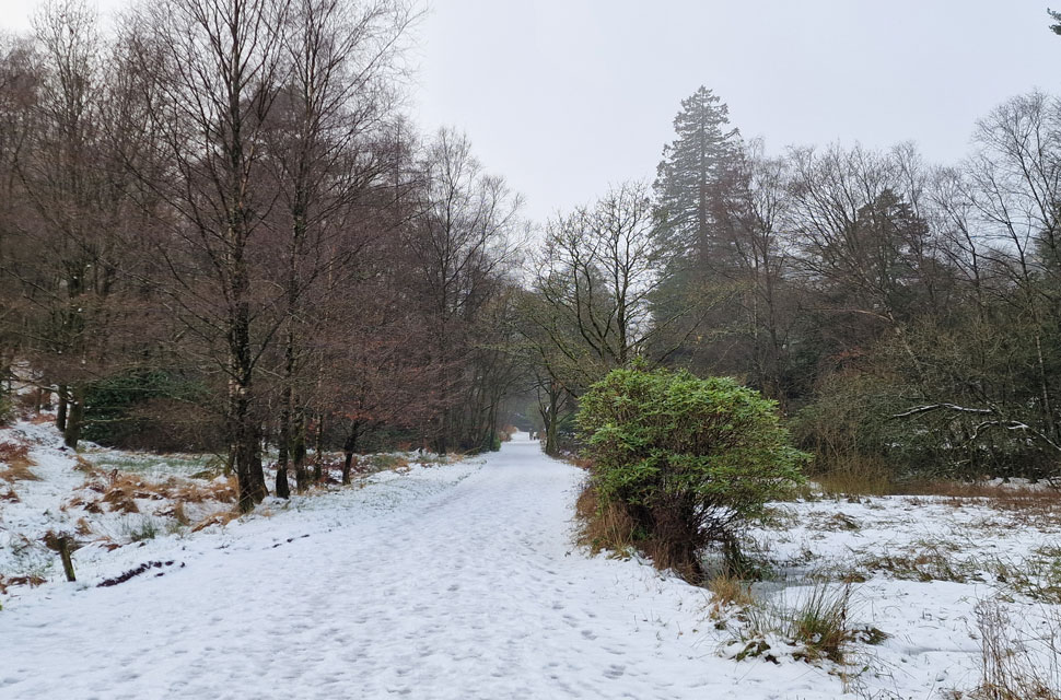
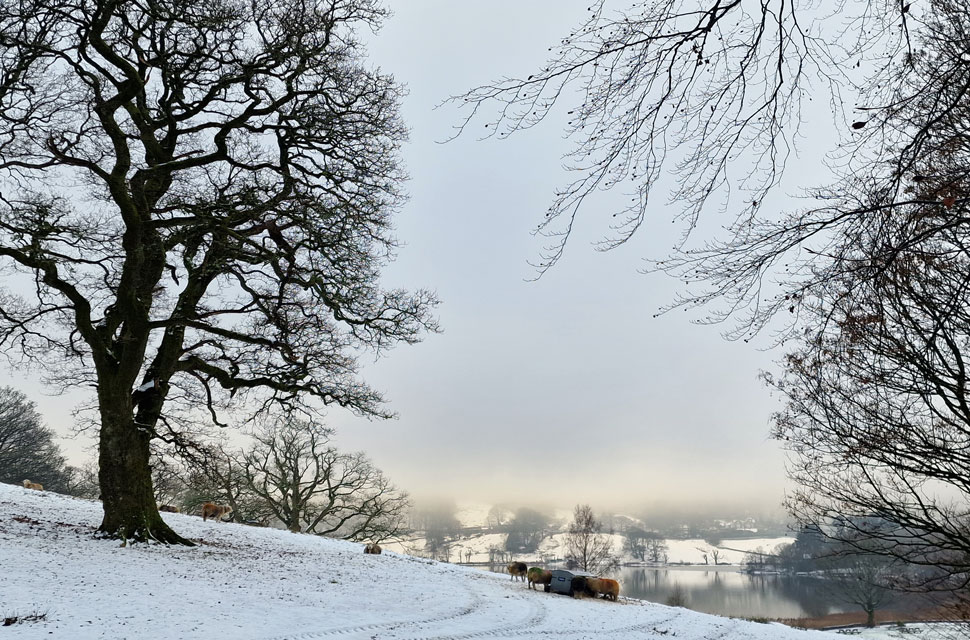
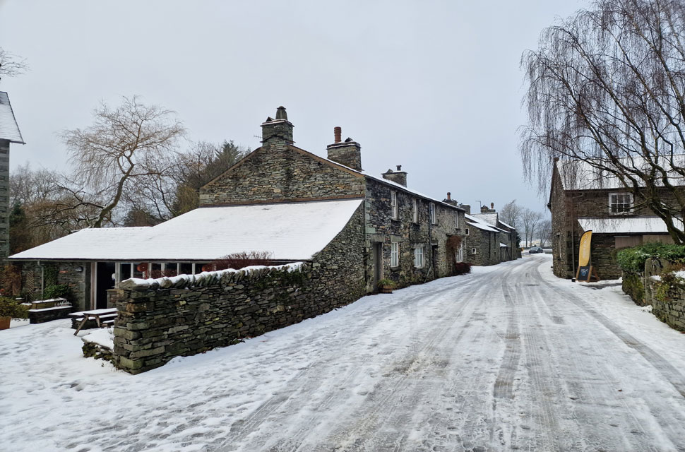
We had arranged to met at the lay by just outside Grasmere at 08:30am and despite conditions, I was only behind by ten minutes or so. I was expecting my phone to ring from either David or Rod who were travelling from the north via St Johns-in-the-Vale and Dunmail Rase. David was already there when I arrived and from the look on his face the first topic of conversation was how treacherous road conditions were over Dunmail Raise - confirmed by Rod who arrived a few minutes later. It had crossed all three of our minds 'what were we doing here' but I guess there's no better way to settle the nerves than to walk a ten miler through the tranquility of some of Lakelands most scenic hamlets..

 
Wainwright Guide Book Three
The Central Fells
Topographically, Loughrigg Fell is the corner-stone of the high mass of land lying south-west of the Rothay valley system, with High Raise at its loftiest point, but is almost isolated , the connecting link being a lone and indefinite ridge crossed by the Red Bank road between Grasmere and Langdale.
 

Overview
Ascent: 1,753 Feet - 534 Metres
Summits: No Summits Visited
Weather: A Grey Day With Snow Underfoot & Low Lying Mist. Highs of 1°C Lows of 2°
Parking: Layby A591, Central Grasmere
Area: Central
Miles: 9.9
Walking With: David Hall & Rod Hepplewhite
Ordnance Survey: OL7
Time Taken: 4 Hours
Route: Grasmere - Red Bank Road - Hunting Stile - Hammerscar Plantation - Walthwaite Bottom - Elterwater - Cumbrian Way - Elter Water - Skelwith Bridge - Foulstep - Footpath Below Ivy Crag - Miller Brow - River Rothay - Pelter Bridge - Rydal Mount - Rydal Coffin Route - Town End - Grasmere
 

Parking Details and Map
Nearest Post Code: LA99 2RF
Grid Reference: NY 340 081


Map and Photo Gallery


A591 Outside Grasmere 08:30am 1°C

By Dawn there was more traffic travelling along the A591 which helped to disperse the snow. Now that we were here we agreed to continue with the walk which should be wrapped up just after lunch allowing the snow to melt and gritters to attend any untreated roads. As we were kitting up the sound of a tractor approaching broke the silence which span around at the bottom of the lay by, mounted the kerb and sprayed silage to sheep in the adjoining field. This photo was taken just as the tractor had left.

The route had already been confirmed in the week and although I was familiar with the area I'd never linked the various paths together so I was looking forward to making the most of what would otherwise be described as a 'stay at home day' With the cars locked we crossed the A591 then passed through the gate on the opposite side just as we had two weeks ago during our Blea Rigg walk.


Mist down to the lowest levels on Helm Crag.
 

Red Bank Road.
We continued towards Grasmere crossing Easedale Beck by the wooden footbridge before entering a deserted Grasmere. We hooked a left then a right passing Tweedies Bar where two weeks ago after the Blea Rigg walk Rod and Michael had tried to get a pint and a snack but were forced to leave due to how busy it was. With fresh snow underfoot and much milder temperatures than of late we continue up Red Bank Road where views are still limited due to the mist.

Looking across a frozen Grasmere.
Towards the misty slopes below Nab Scar.

Ascending towards Hammerscar Plantation via Hunting Stile.
It's a lonley walk passing no one as we hook a right at Hunting Stile Cottage taking the snow covered track towards Hammerscar Plantation.

A distant Silver How from Hammerscar Plantation.
The footprints in the snow peetered out as we rose steadily over Hammerscar Plantation leaving us to blaze a trail through the new snow. Sadly, views were still limited but as always we kept ourselves entertained in conversation.

Looking down on Walthwaite Bottom towards the village of Elterwater.
Overlooked by Huntingstile Crag we began our snow covered descent towards Walthwaite Bottom sighting traffic travelling between Ambleside and Great Langdale. On a clear day we would have had views towards the Langdale Pikes and beyond but we were lucky to see the tops of the trees. The mist is showing no signs of lifting.

Sleepy Elterwater.
We descended Hammerscar Plantation and crossed Walthwaite Bottom into Elterwater where the village was just coming to life with dog walkers and the odd car struggling for traction as they drove through.

The Elterwater Maple.
With the Britannia Inn in the background.

Picking up the Cumbrian Way alongside Great Langdale Beck.
After passing through the village we turned left onto the Cumbrian Way towards Elter Water. This is the last section of Great Langdale Beck before flowing into Elter Water exciting as the River Brathay.

Elter Water.
 

Elter Water.
 

Elter Water.
We continued to follow the footpath through Elter Water where more and more people were appearing including a family pulling their children along on sleds "we've got the wrong idea" David joked knowing deep down he wanted a go on the sleds.

Skelwith Bridge.
Elter Water gave way to Skelwith Bridge where we passed the tea rooms and the Skelwith Hotel which always looks inviting no matter the season.

Flanking Ivy Crag.

We crossed Skelwith Bridge then turned left up the steep road eventually flanking Little Loughrigg to our left before picking up the footpath below Ivy Crag. Although it was only the slightest of ascents we seemed to climb into the mist finding the paths busy with folk walking to and from Loughrigg Fell.

Up ahead a gang of teenage girls on mountain bikes asked David would he take their picture to which he obliged not before faking to run off with the girls phone first.


Descending towards Miller Brow.
The paths were now busy with most folk staying low whilst like us, taking the most from the day. With Loughrigg now behind us we began our descent down Miller Brow

Ambleside to Rydal old road.
The descent steepened prior to reaching the old road where walking poles really helped with the ice underfoot. Who wasn't having a good time of it was the three guys shoveling snow from the road after attempting to drive down the steep twisting gradient in their BMW. With the back wheels chocked with boulders they'd shovelled around thirty feet with still another forty or fifty to go. Rather them than me.

Approaching Pelter Bridge.
The mist was still low as it approached midday and with stomachs rumbling we thought it would be a good idea to stop somewhere for lunch. Trouble was, where?

Lunch with a view.
We crossed Pelter Bridge then a busier A591 which was clearing from snow nicely. On arrival at Rydal Bridge we were just about to begin the walk up to Rydal Mount before noticing the shelter at the bottom of the road wasn't occupied which made for a great lunch stop even if the views weren't what we were used too.

Rydal Coffin Route.

With lunch packed up we began the steady (then steep) ascent towards Rydal Mount and the Coffin Route thereafter not before being entertained by a VW Golf whose driver thought it would be a good idea to drive up the snow covered steep hill before the car came to a wheel spinning stop. Looking bewildered the driver kept flooring the car by which time the car was starting to slide backwards into a 4x4 which had followed the Golf Up.

The driver got out the 4x4 and said something to the Golf driver who just sat there spinning the tyres of the car. Now a Kia was behind the 4x4 - all three cars stuck whilst the three of us looked on.


Rydal Coffin Route.
With calm resumed we joined the Rydal Coffin route where we were surprised to find how quiet it was.

White Moss Common.
We only passed one couple and a family on the Coffin route where views only extended as far as an icy Grasmere lake below. At the Grasmere end of the Coffin route we passed through White Moss Common before beginning our final descent towards Town End and Grasmere.

Idylic views from White Moss Common.
 

22
Town End.

We began our descent taking care that the ice and snow didn't get the better of us. Ahead a Citroen Picasso has come to an halt on the snow covered slope right opposite where an Audi had been abandoned its right hand wheels hanging over a ditch. Continuing down the for some reason I was compelled to look back which was when I spotted a break in the mist revealing Heron Pike set against the bluest of skies, no sooner had the cloud parted did it role back in again and Heron Pike was gone.

We joined the A591 where we was pleased to find that most of the snow had turned to slush and traffic moving freely. David passes a Land Rover Evoque with rear end damage which looked fresh to the trained eye. With cars unlocked we each began our kit down agreeing how much we'd enjoyed the route but most importantly, how we'd made the most of grey day in Lakeland.


Back to top