 |
Silver How to Tarn Crag from Grasmere |
 |
 |
3rd December 2022 |
 |
|
Throughout the middle of the week the Lakeland fells had experienced cloud inversions mainly in the south of the park and anyone lucky enough to get out would have had a right treat, if you were one of the unlucky ones like me you could only read about them through gritted teeth on your lunch break.
The trio are back together again which today includes Michael making four. Rod had originally asked about walking Cat Bells to Dalehead Tarn returning by the Newlands valley which is a classic walk at any time of year but David was only on Catbells a few weeks ago and I think it was August since my last visit so I suggested a walk that I intended to do last January but was beaten back by gale force winds close to Silver How summit so I ended up walking around Grasmere Lake and returning via the Coffin Route instead.
It's been sometime since the three of us had last set foot on todays fells confirmed by a couple of navigational errors that we made, nothing major just slightly unfamiliar territory which if anything gave us something to have a laugh about. |
|
| Wainwright Guide Book Three |
 |
| The Central Fells |
| Easedale Tarn is not the only jewel in Tarn Crags lap. A smaller sheet of water, Coledale Tarn, occupies a hollow on the higher shelf; beyond, indefinite slopes climb to the top of the parent fell, High Raise. |
 |
|
|
|
|
| |
|
Overview |
|
|
| Ascent: |
2,265 Feet - 690 Metres |
| Wainwrights: |
3, Silver How – Blea Rigg – Tarn Crag (Easedale) |
| Weather: |
A Bright Start Turning Cloudy With Light Showers. Sunshine Returning PM Highs of 6°C Lows of 3°C |
| Parking: |
Layby A591, Central Grasmere |
| Area: |
Central |
| Miles: |
9 |
| Walking With: |
David, Rod & Michael |
| Ordnance Survey: |
OL7 |
| Time Taken: |
6 Hours |
| Route: |
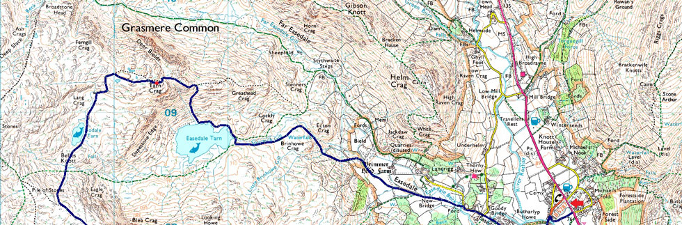
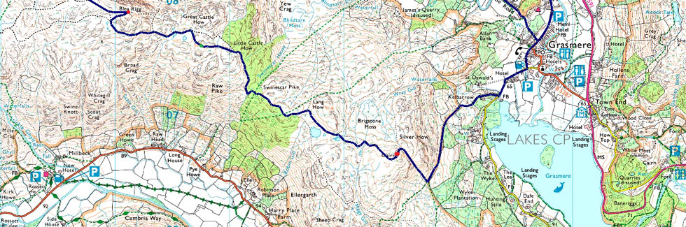
Grasmere – Kelbarrow– Silver How – Brigstone Moss – Langhow Tarn – Blea Rigg – Belles Knott – Codale Tarn – Tarn Crag (Easedale) – Tarn Crag East Ridge – Easedale Tarn – Sourmilk Gill – Easedale Beck – Easedale Road – Grasmere |
|
| |
|
Parking Details and Map |
|
|
| Nearest Post Code: |
LA22 9RF |
| Grid Reference: |
NY 340 081 |
|
| |
|
Map and Photo Gallery |
|
|
  |
| |
| |
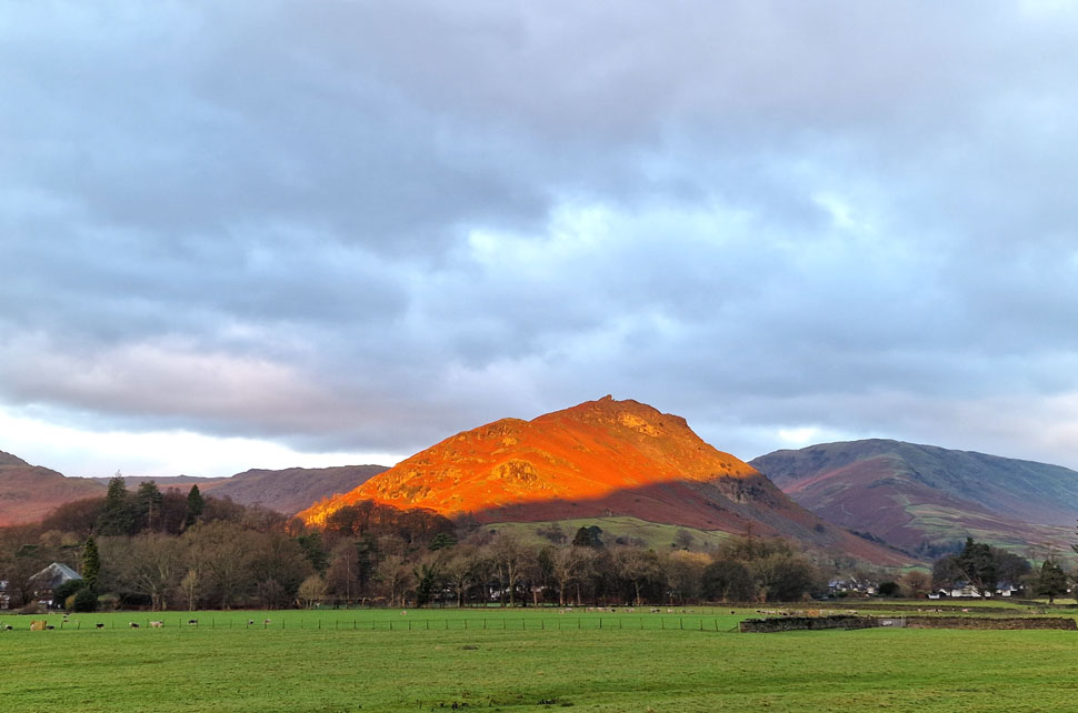 |
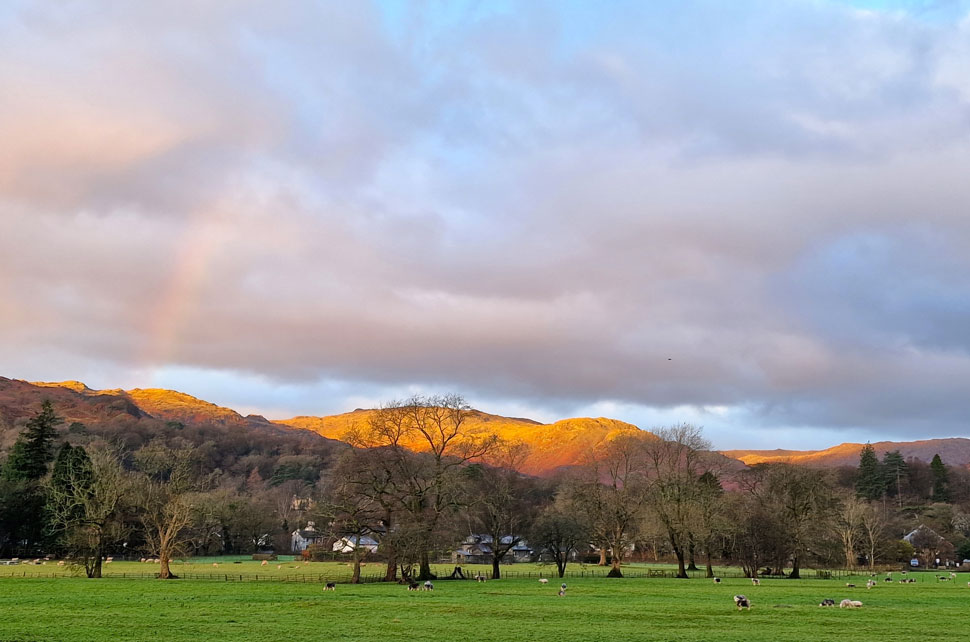
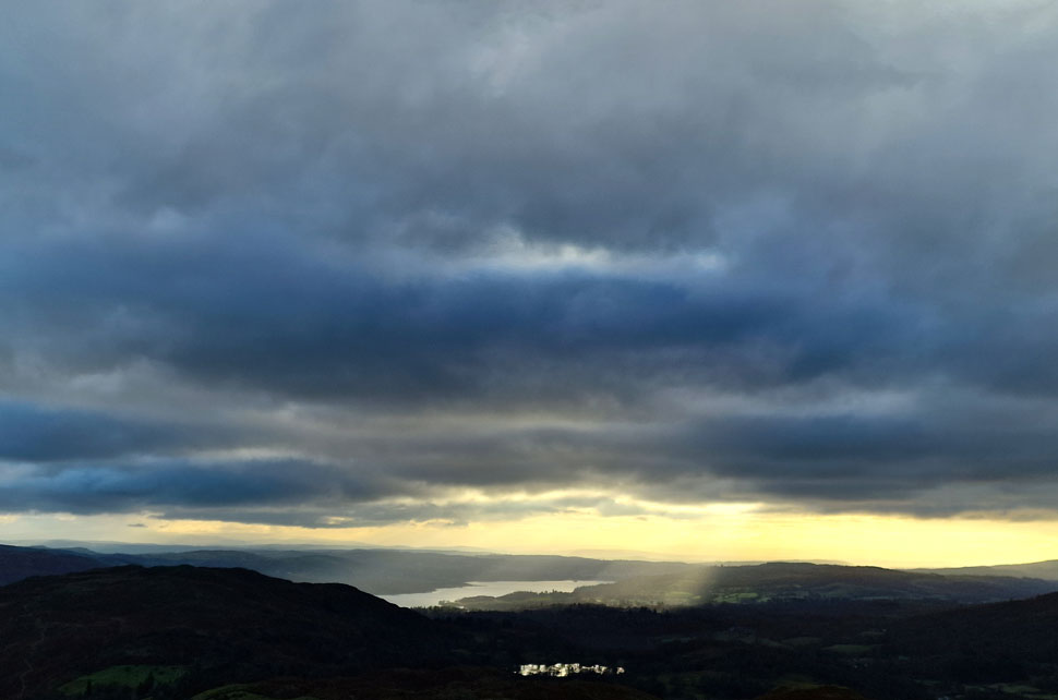
| First light over Helm Crag with Steel Fell in the distance 08:10am 3°C |
We'd arranged to meet at the lay-by opposite Grasmere at 08:30am where I found David waiting in his Car. We were both early and passed the time catching up. Still chatting to David arms crossed, teeth chattering I was haunching from one heel to the other trying to keep warm when I thought it was about time I added my jacket. Rod and Michael pulled up next and after 'morning' I completed my kit up with a fifteen quid pair of fisherman's finger-less mitts which allow me to take photos with my mobile phone without having to faff around removing a glove.
The light display on Helm Crag was enough for me to cross the road to take a better look, the last time I saw light on Helm Crag like that was January 2015 and the hill was draped in snow, as this morning, it was a spectacular sight. I returned to the lay-by to find everyone ready - all I needed to do was lock the car and zip my keys in the secure pocket in the lid of my pack. We crossed a deserted A591 and passed through the gate and followed the footpath crossing Easedale Beck via the wooden footbridge before arriving in the heart of Grasmere. |
 |
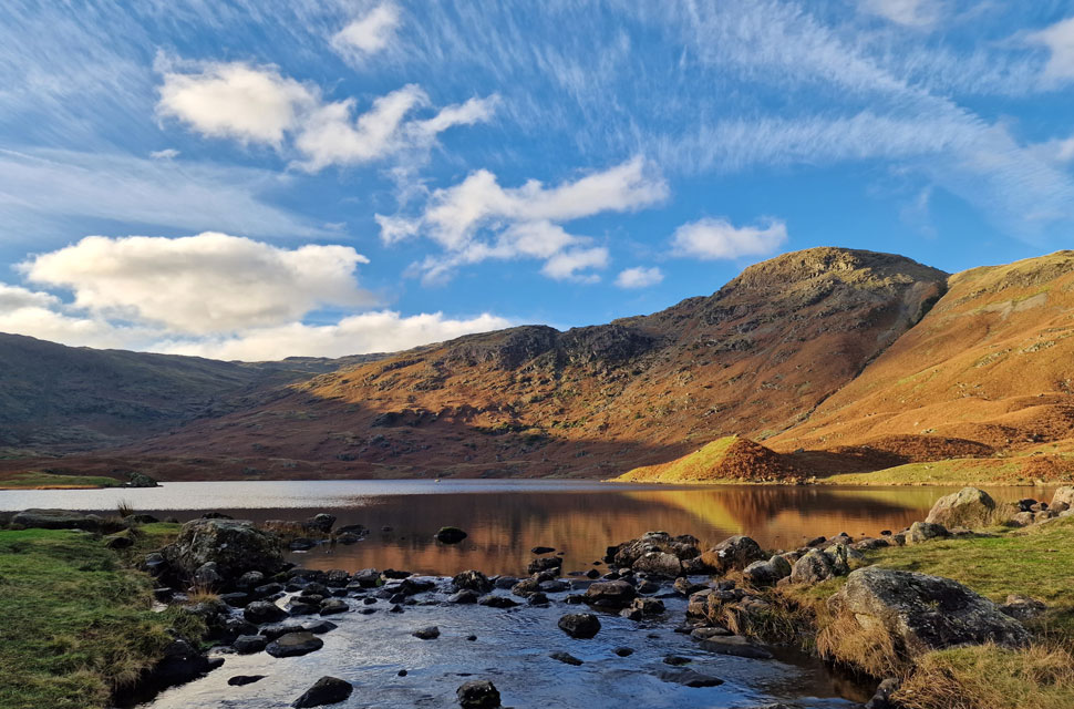
| Tarn Crag (Easedale) afterglow. |
| By now morning sun light was dappling Tarn Crag, todays final summit. The rainbow was an added bonus which must have originated around Easedale Tarn. |
 |
| Silver How from Red Bank. |
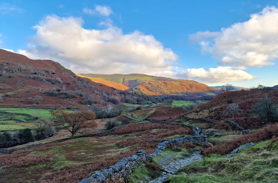
| From Grasmere there's two choices of ascent one of which is via Allan Bank or like we're taking today via Kelbarrow which is the area behind the trees over on the left. |
 |
| Steel Fell, Dunmail Raise, Seat Sandal, Great Rigg and Arthur's Pike from Kelbarrow. |
| We left Red Bank and took the track through Kelbarrow where views opened up towards Dunmail Raise. The sunlight was still inching into the valley leaving the hillside in a warm afterglow. |
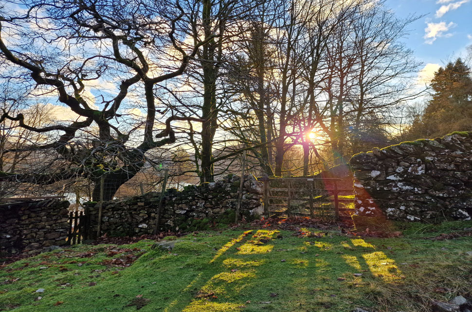 |
| Sunlight, woodland and rickety gate. |
| |
 |
| Gibson Knott, Helm Crag, Steel Fell, Dunmail Raise, Seat Sandal, Great Rigg and Arthur's Pike from Kelbarrow. |
| Even though it hasn't rained all week the ground here was saturated finding much of the footpath below flowing water. The views however,continued to wow. |
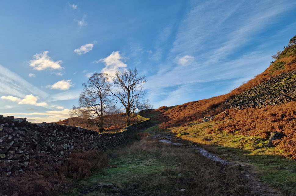 |
| Kelbarrow. |
| It's a steady leg stretcher where conversation, mickey taking and recent news events are all the topic of conversation. We're not far from the beginning of the ascent on Silver How now which is just around the corner up ahead. |
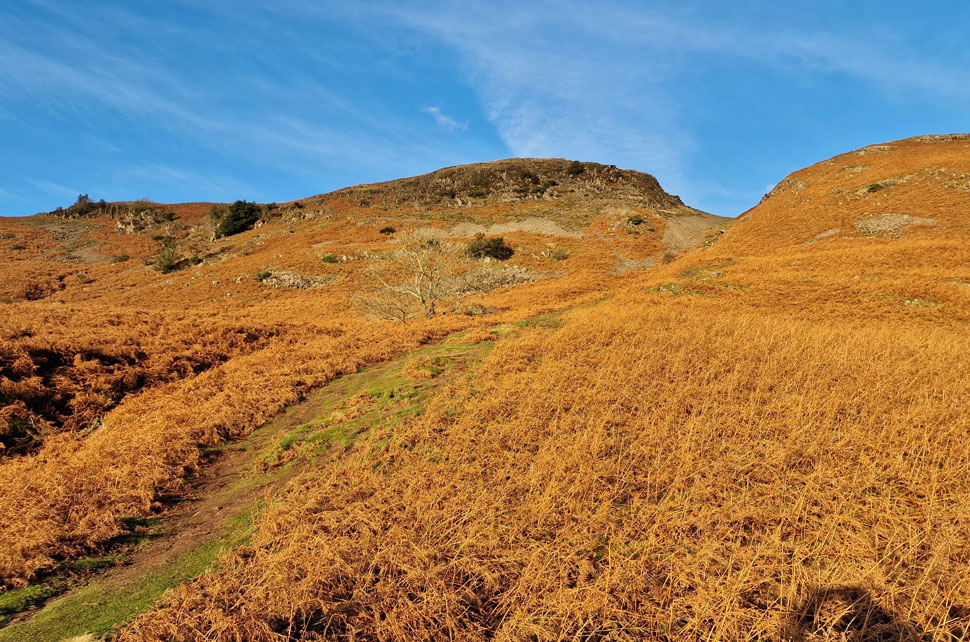 |
| Silver How. |
| It's only 250ft of ascent but that's pretty steep when your trying to put the world to rights. |
 |
| As forecasted cloud begins to gather. |
| As we take in the view over Loughrigg Fell, the top of Red Bank and Dow Bank. |
 |
| The view over Grasmere, Nab Scar and Loughrigg Fell. |
| With Wansfell seen in far distance. |
 |
| Loughrigg Fell and Windermere from Silver How summit. |
| We crested the shoulder of Silver How where we got our first views of Brigstone Moss with a distant Easdale valley below. By now cloud was beginning to build obscuring the brilliant sunlight dashing hopes if we'd ever see any more sunshine for the rest of the day. |
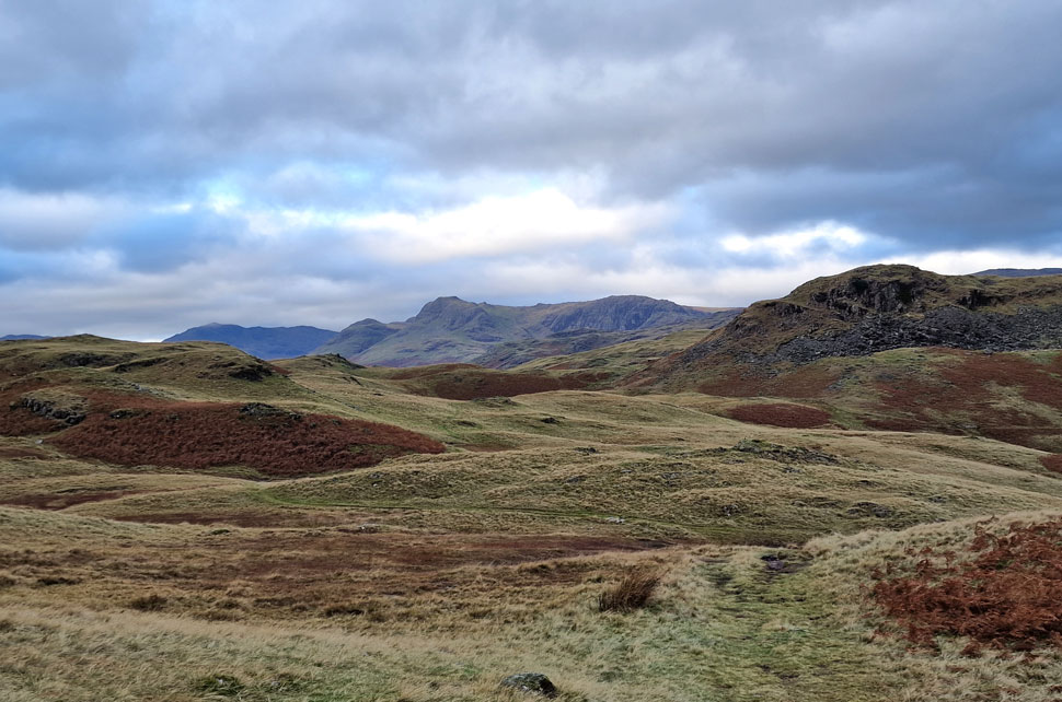 |
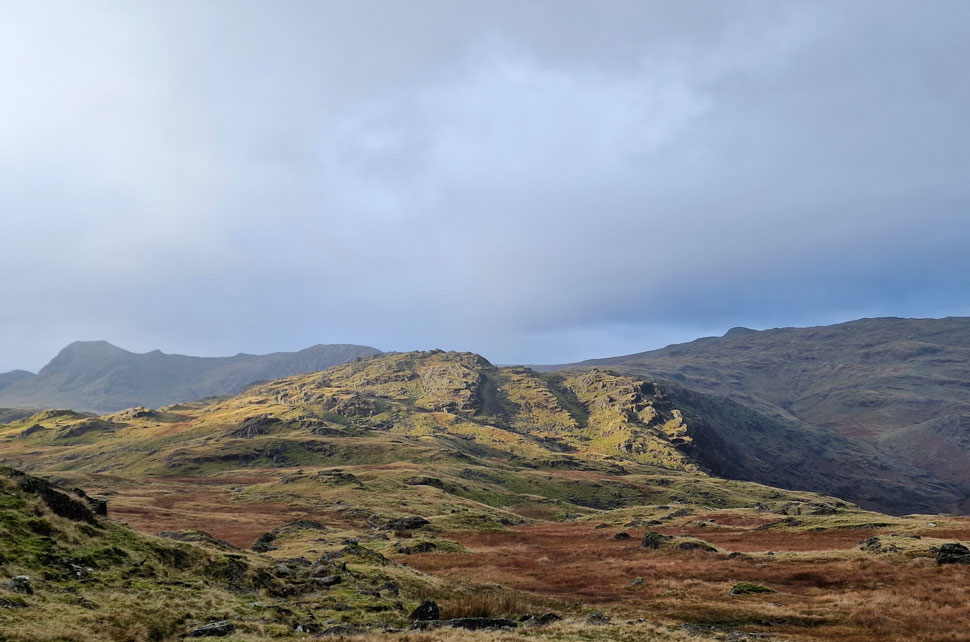
| Bow Fell, Loft Crag, Harrison Stickle, Pavey Ark and Lang How from Brigstone Moss. |
| From Silver How summit we head in a north westerly direction over Brigstone Moss whilst taking in the views over Lang How and the distant Langdale Pikes. |
 |
| Great Langdale and Oxendale from Langhow Tarn. |
| That's one impressive view taking in Lingmoor Fell, Side Pike, Pike O'Blisco, Cold Fell, Great Knott, Crinkle Crags, The Band, Bow Fell, Loft Crag, Harrison Stickle and finally Pavey Ark. |
 |
| A splash of sunlight over Harrison Stickle. |
| Whilst in the distance it looks like rain is on its way. |
 |
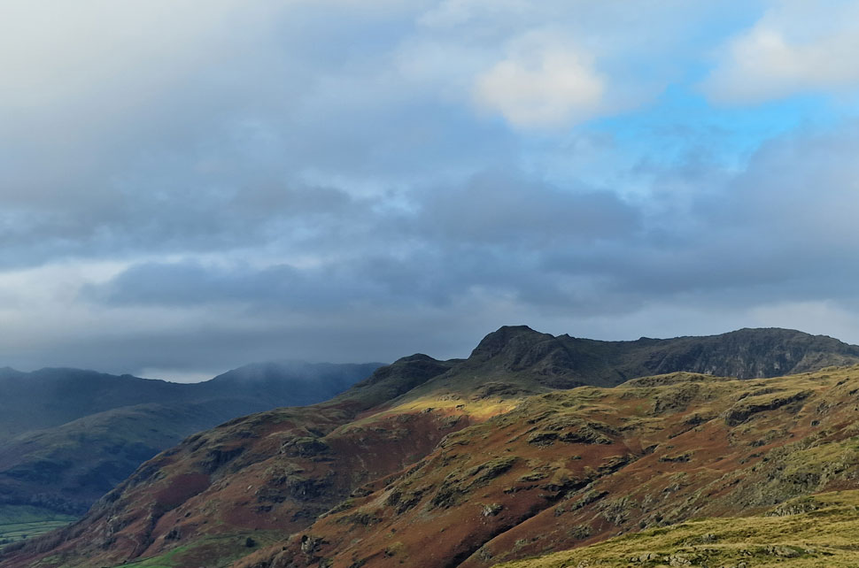
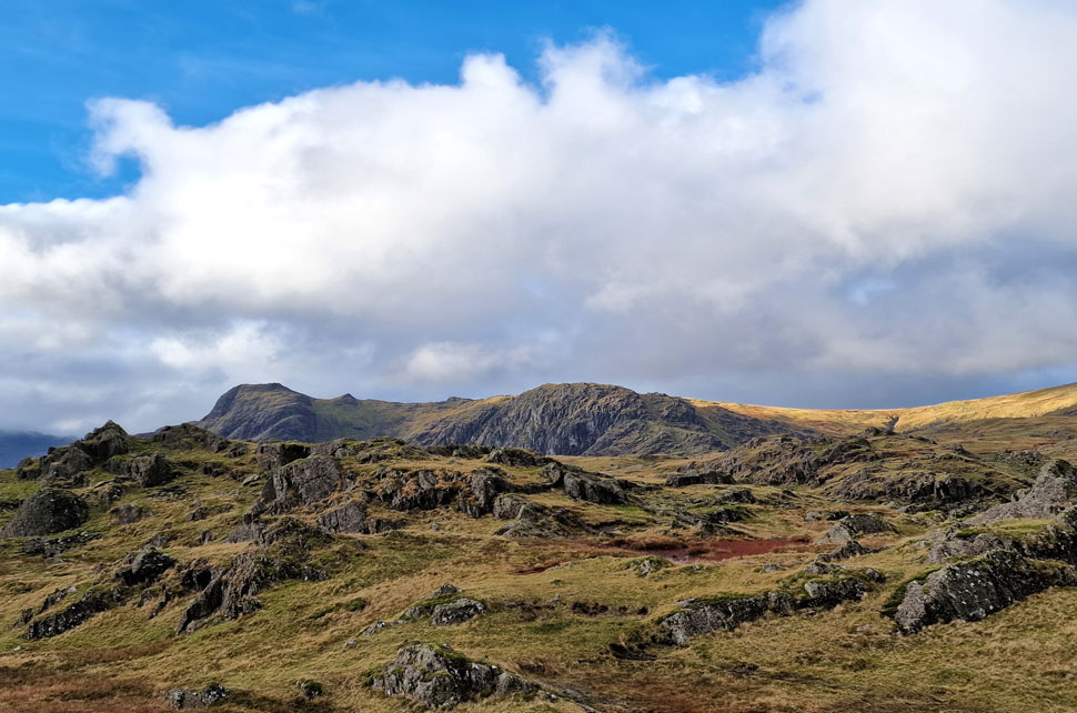
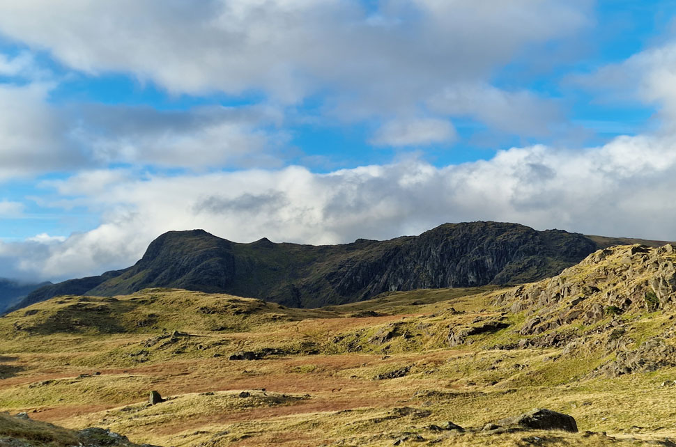
| Harrison Stickle, Pavey Ark and Sergeant Man. |
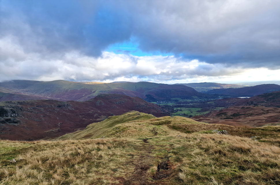
| Not forgetting todays next summit of Blea Rigg in the foreground. The path weaves its way across the ridge, traces left then ascends right towards Blea Rigg summit. |
 |
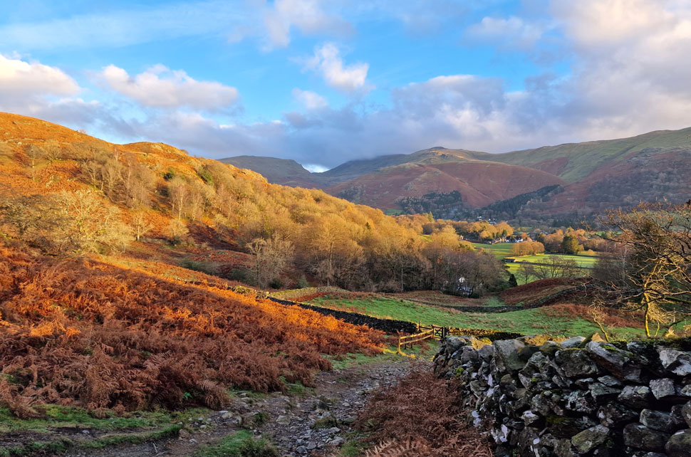
| From the ridge we took in the view over... |
| ...Easedale Tarn, Tarn Crag, Gibson Knott and Steel Fell whilst in the distance the summits of Dollywagon Pike, Nethermost Pike and Helvellyn are all below cloud. |
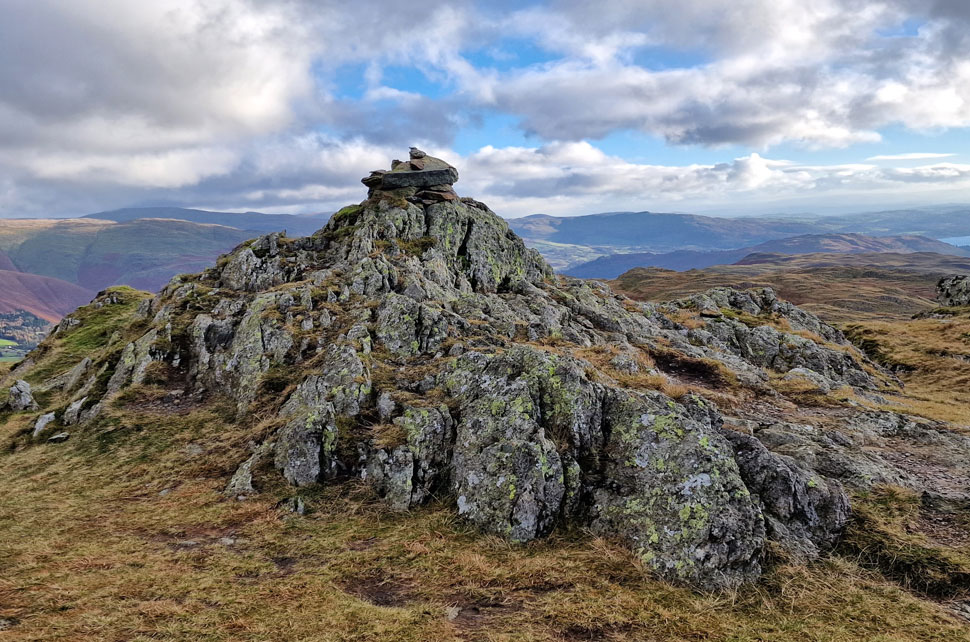 |
| Blea Rigg summit. |
| Our pace must have slowed to a crawl because the solo woman who had overtaken us around the Langhow Tarn area passed us after descending Blea Rigg by which time it had started to rain. |
 |
| Harrison Stickle and Pavey Ark from Blea Rigg. |
| Soon the rain eased and the clouds began to break revealing blue sky in their wake, what great timing to take in the views. |
 |
| Sergeant Man and Codale Head from Blea Rigg. |
| We continue along the ridge before making a sharp descent towards Codale Tarn. |
 |
| More Harrison Stickle and Pavey Ark. |
| The cloud really is beginning to break now. |
 |
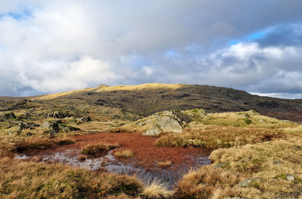
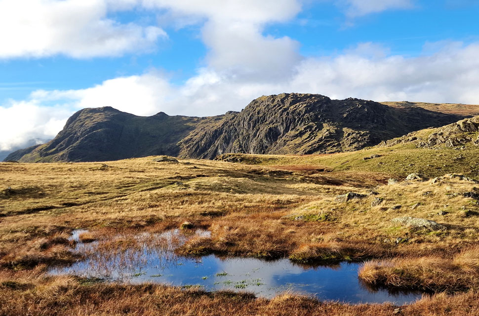
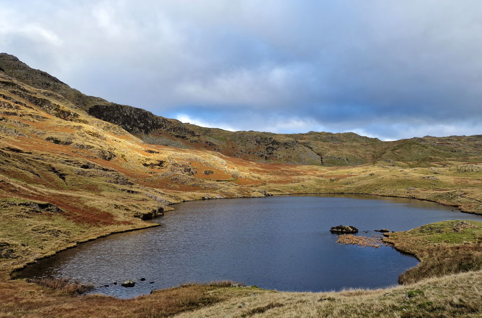
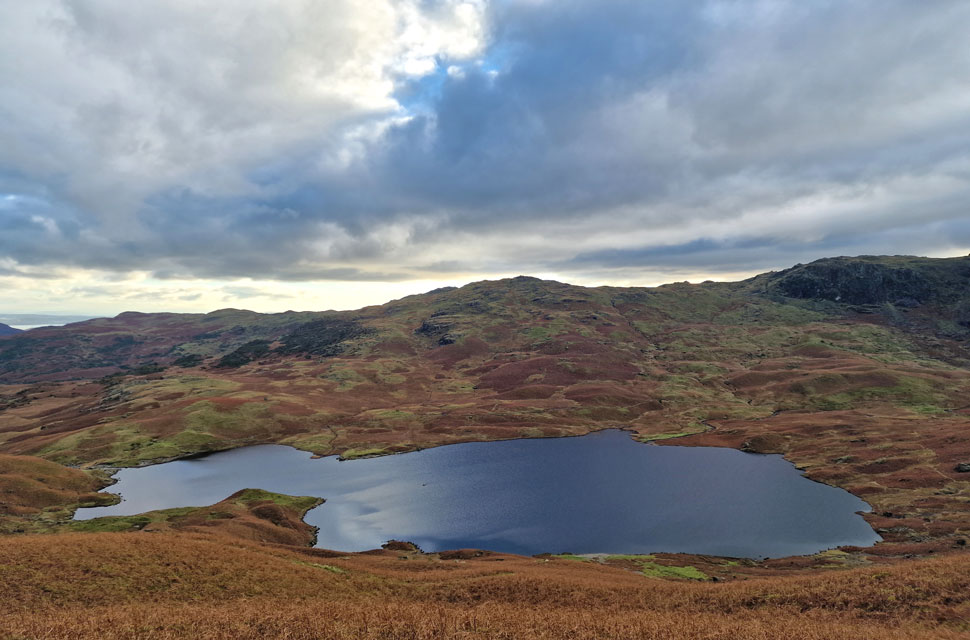
| Codale Tarn and Tarn Crag (Easedale) |
| You do have to squint to see Codale Tarn but it's there centre left. I don't recognise them rum buggers though. |
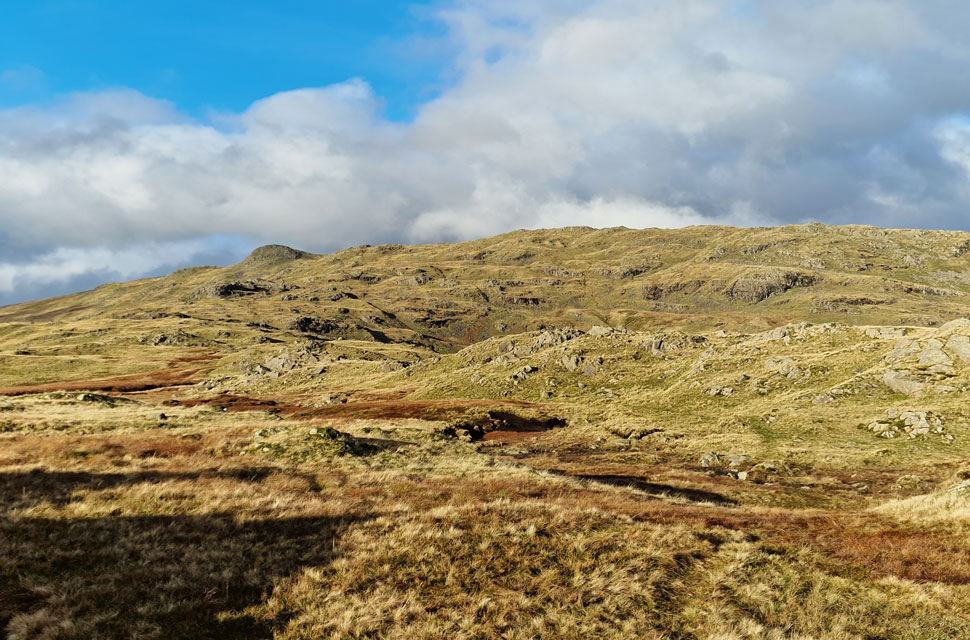 |
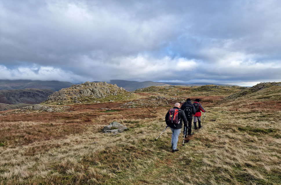
| Continuing along the ridge with clear views of Sergeant Man and Codale Head. |
| We're almost ready to make our descent from the ridge which we take via a natural depression in the ridge ahead. |
 |
| Even the boggy bits... |
| ...made for great photos. |
 |
| Descending towards Codale Tarn with Belles Knott seen right. |
| David located the depression from where we began the steep descent which crosses the footpath below before re-ascending towards Codale Tarn. |
 |
| Whilst descending. |
| I took in the view over Tarn Crag, Easedale Tarn, Gibson Knott, Helm Crag and a host of eastern fells who's summits were still below the cloud line. |
 |
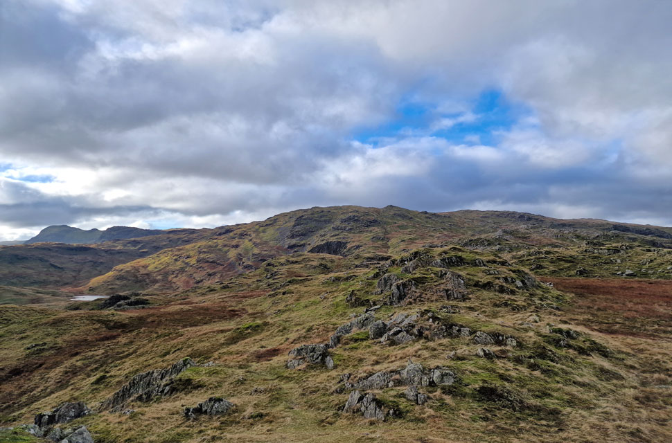
| Codale Head. |
| After a short but steep descent we crossed the footpath below seen here as a walker makes his way towards Sergeant Man. |
 |
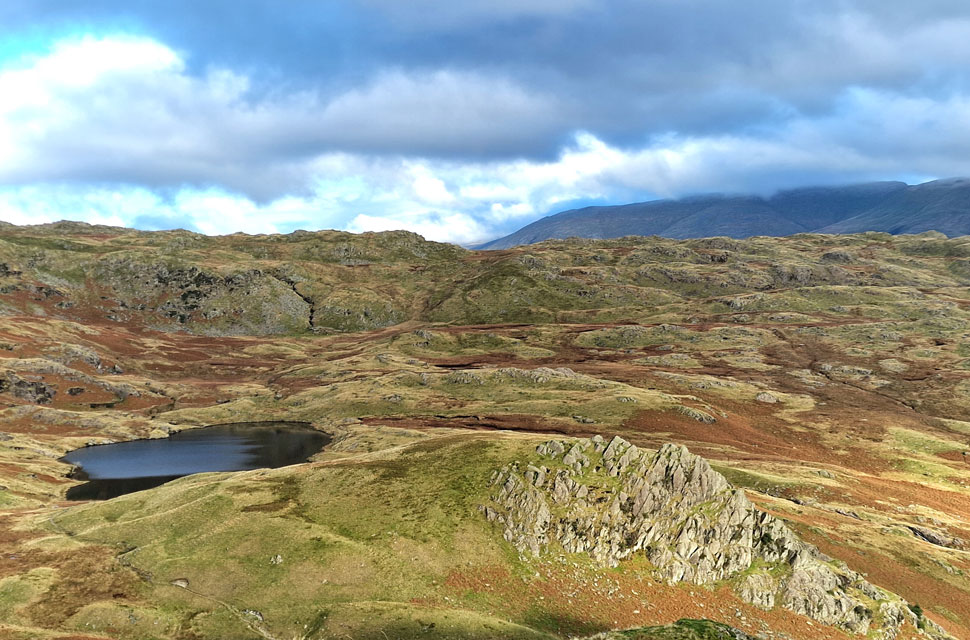
| Codale Tarn. |
| It was a quick ascent to reach Codale Tarn where we were passed by a young couple and their dog who kinda looked a bit out of place but they seemed to know where they were going. It's almost lunchtime and stomachs are growling so we have a look around for somewhere to eat before David remembered about a ruined sheepfold situated below the crags separated by the cleft up ahead. |
 |
| Codale Head and Codale Tarn taken during the ascent of Tarn Crag (Easedale) |
| We found the ruined sheep fold beyond a boggy marsh but hunger came before wet boots. Sat within the sheepfold we ate lunch with no real views other than a rusty oil drum, tall grass and stone wall which was when work called my mobile phone. It was Nikki who was having a spot of bother so I advised her as best I could not letting on I was eating lunch in a ruined sheep fold with some old chums. |
 |
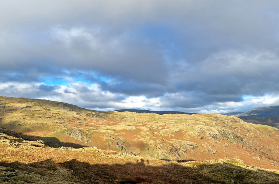
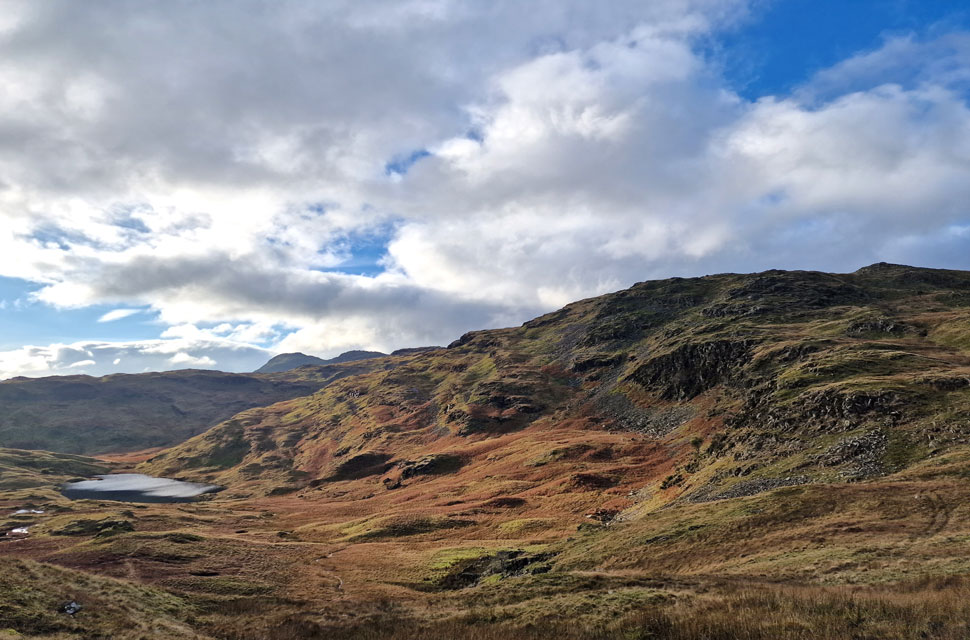
| Tarn Crag (Easedale) awaits. |
| I don't think Michael could have said it any better "I like this" referring to the smooth, dry grass underfoot. Aye marching towards the final summit with hardly an incline to worry about Michaels comment meant more than just three words. |
 |
| From the summit of Tarn Crag (Easedale) |
| I take in the view over Codale Tarn towards the Langdale Pikes, Codale Head and Sergeant Man. |
 |
| Descending Tarn Crag (Easedale) |
| We left the summit and began the steep descent first by a grassy rake which eased onto flowing grassy ridge. It had clouded over again such the nature of the day but there was still promise in the skies as we began our descent towards Easedale Tarn. |
 |
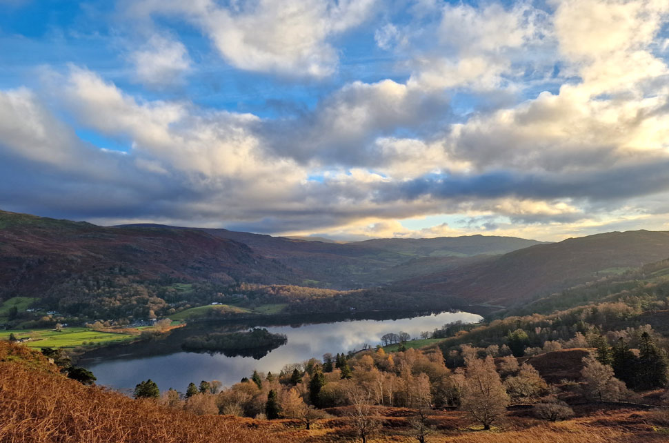
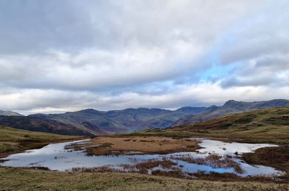
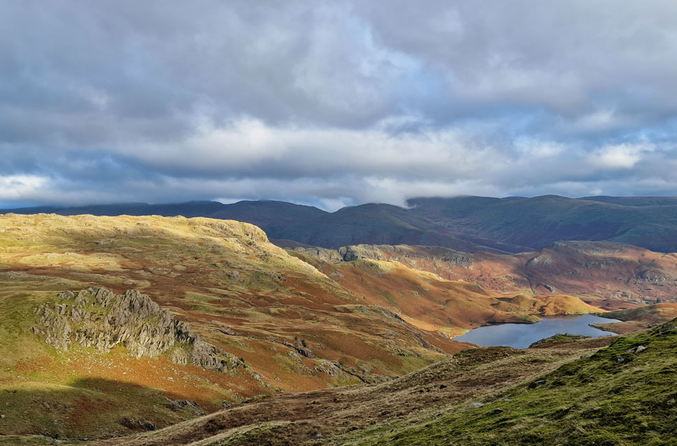
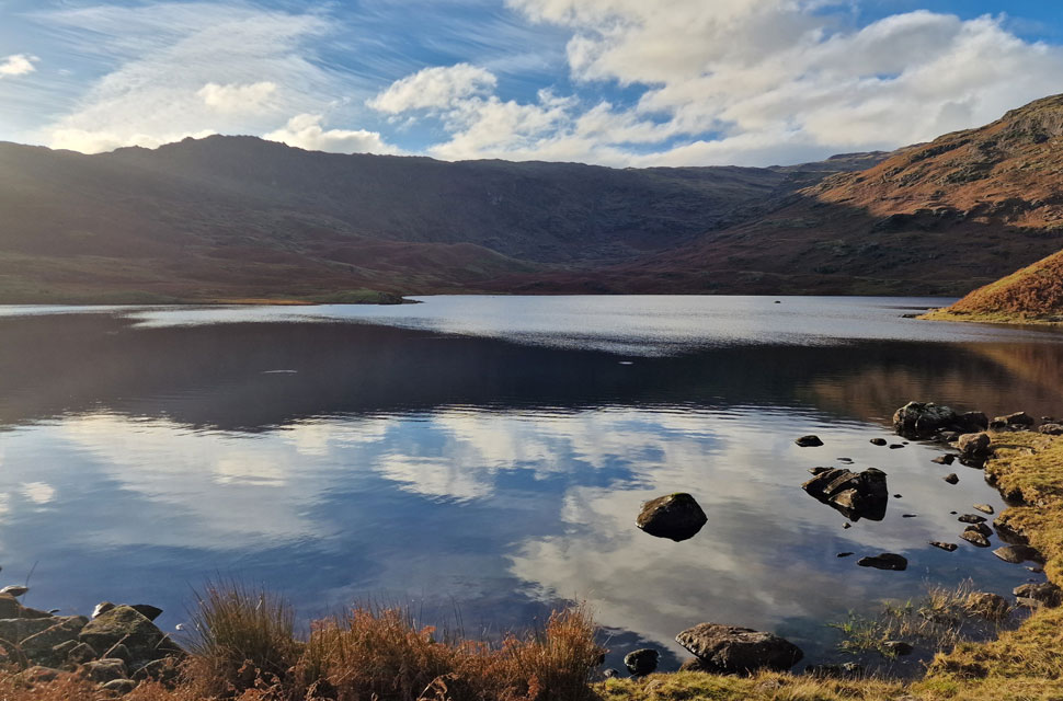
| Easedale Tarn. |
| |
 |
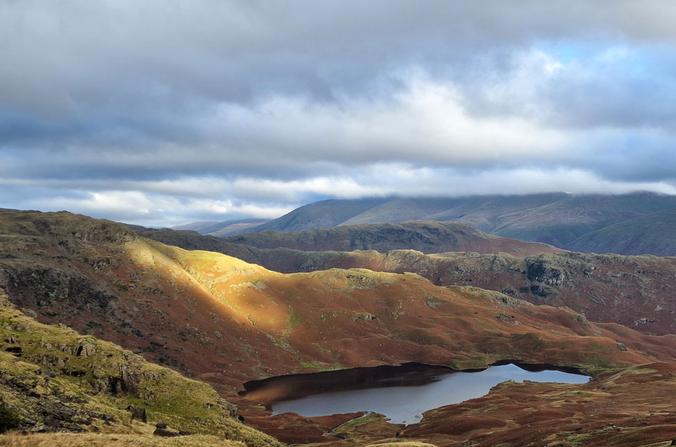
| Great Castle How (left) and Blea Rigg (right) from Easedale Tarn. |
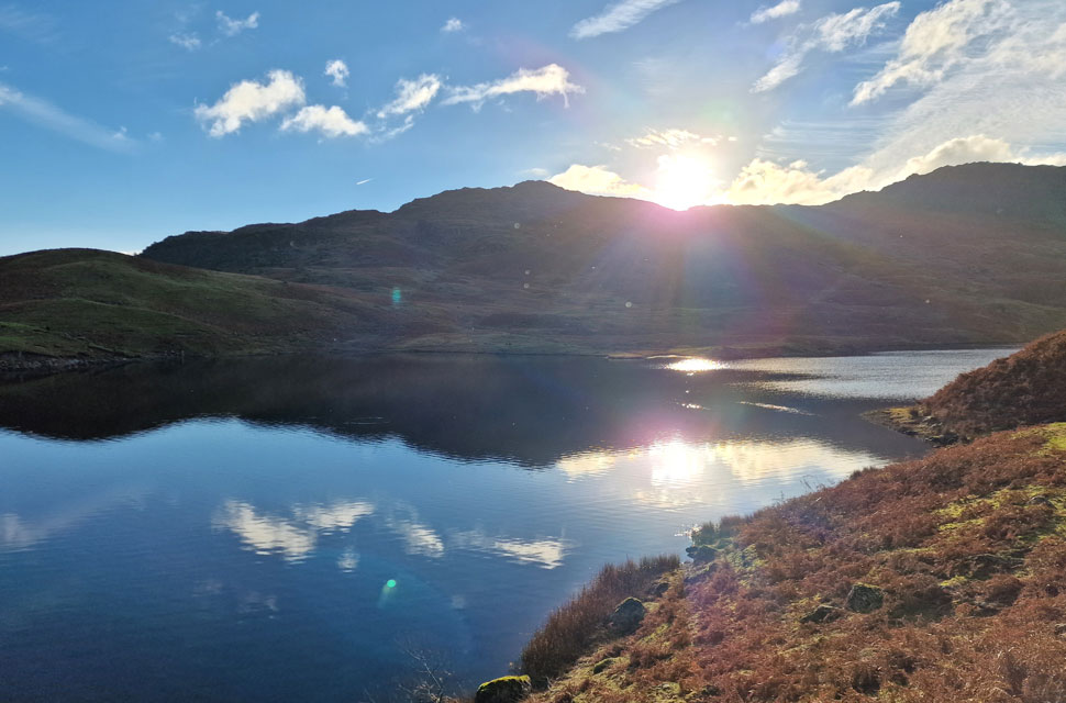
| We left the ridge and began our descent opting to descend directly towards the tarn while Rod chose a quicker line of descent be it direct then via the zigzagged path. Minutes later the sun came out and we were blessed in warm afternoon sunshine. |
 |
| Blea Rigg from Easedale Tarn. |
| We heard a lot of giggling and laughing which caused to us glance over to the opposite side of the tarn where we saw three girls skinny dipping completely naked. I am now of the age where my only thought was "their gonna catch their death" |
 |
| Tarn Crag from Easedale Tarn outflow. |
| The sun was still beaming down but it wouldn't be for long as it was about to dip behind the Blea Rigg ridge as Michael noted. By now the young girls were sat fully clothed at the side of the tarn with towels across their shoulders more than likely suffering from the first stages of hypothermia but their continued giggling spoke otherwise. Within minutes the sun sank behind Blea Rigg and with it went any warmth. |
 |
| Nab Scar seen beyond The Easedale Valley. |
With Easedale Tarn behind us we began our descent alongside Easedale Beck and Sourmilk Gill where Rod stopped to take photos. Even though it was mid afternoon hoards of people were still heading towards the tarn hopefully aware that there was only two hours of sunlight left. Despite the crowds Easedale retained its quietitude and it was only when we arrived at the bottom of Easedale Road where we were brought back to reality within the crowds of Grasmere.
Rod and Michael made a hasty retreat to Tweedies Bar while David and I passed through the village trouser bottoms caked in mud, poles collapsed. We joined the path back through the field where we crossed Easdale Beck for the last time before arriving back at the lay-by which by now was crammed from one end t'other. |
|
| |
| Back to top |
 |
|
