Dove Crag via the Dovedale Valley

24th September 2022

This time last week I didn't know if the M6 closures were still taking place and as it turns out the Highways Agency are to carry out the repair work between 9pm and 6am for the foreseeable which meant I could meet up with the guys for todays walk.

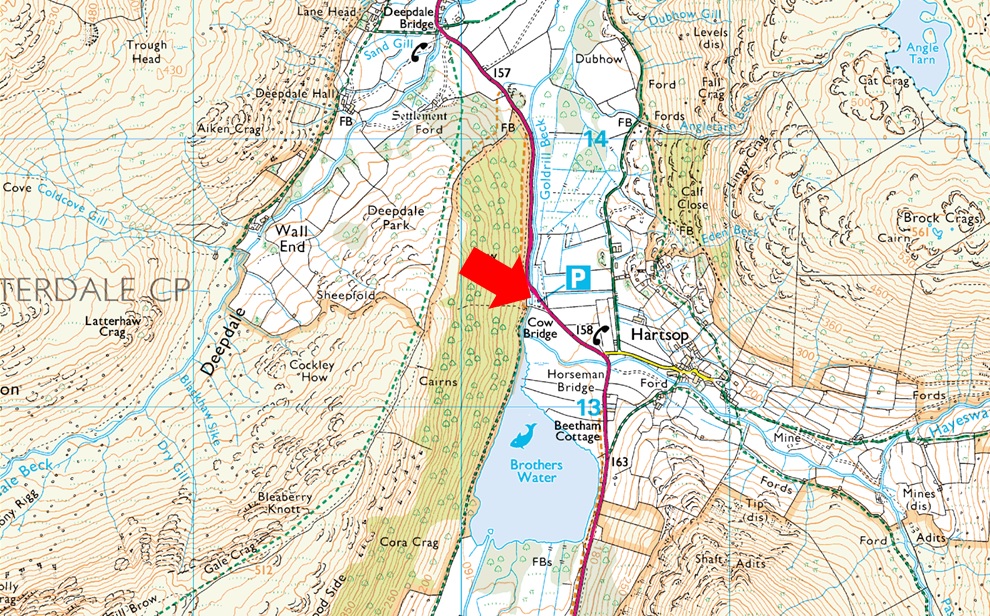
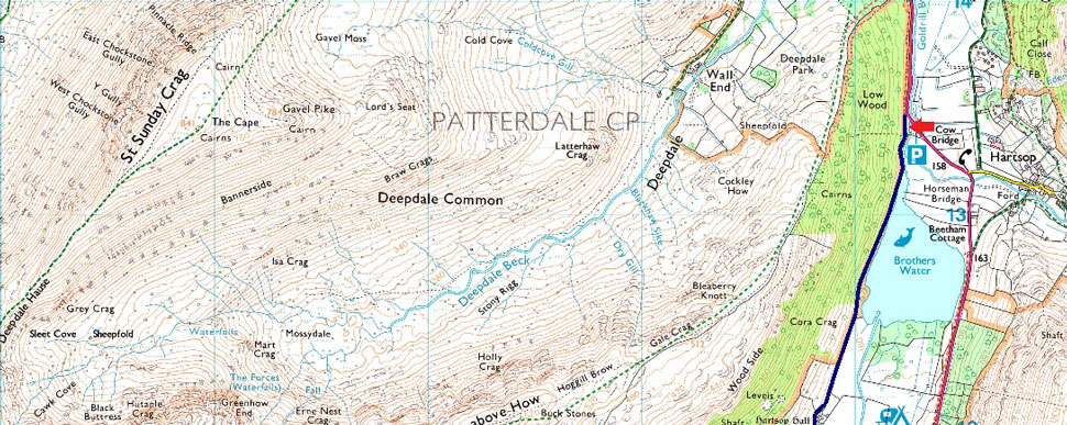
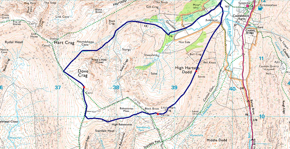
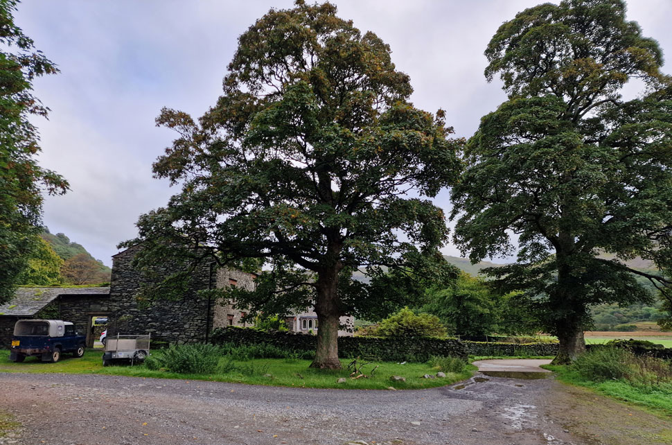
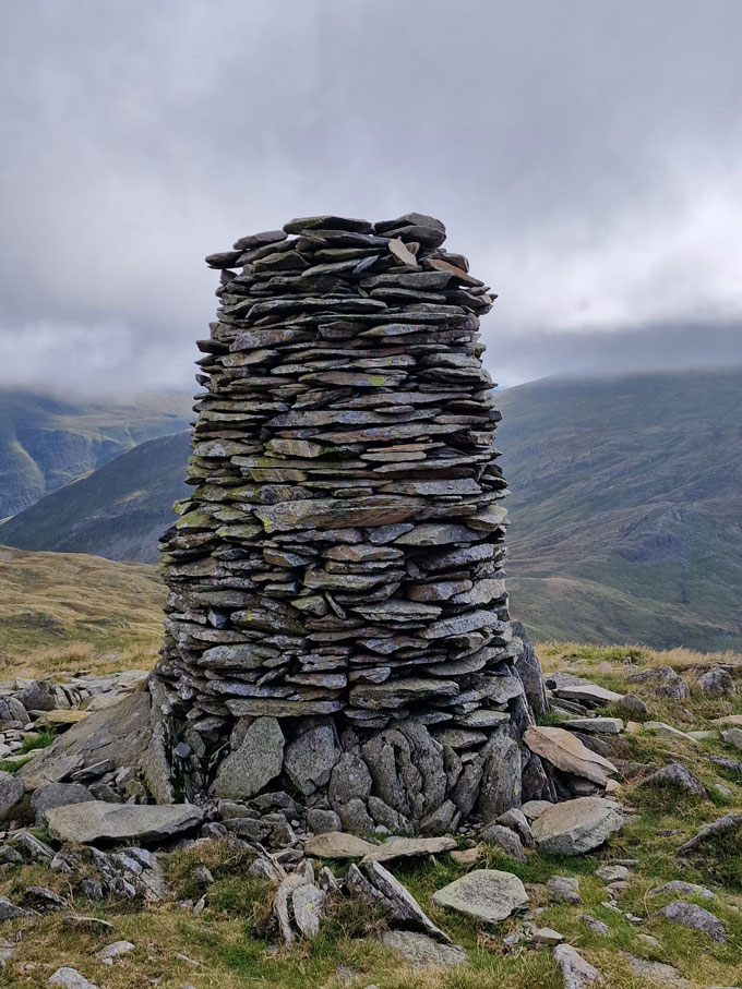
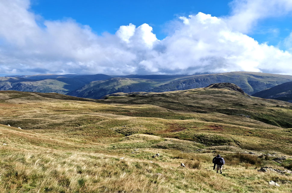
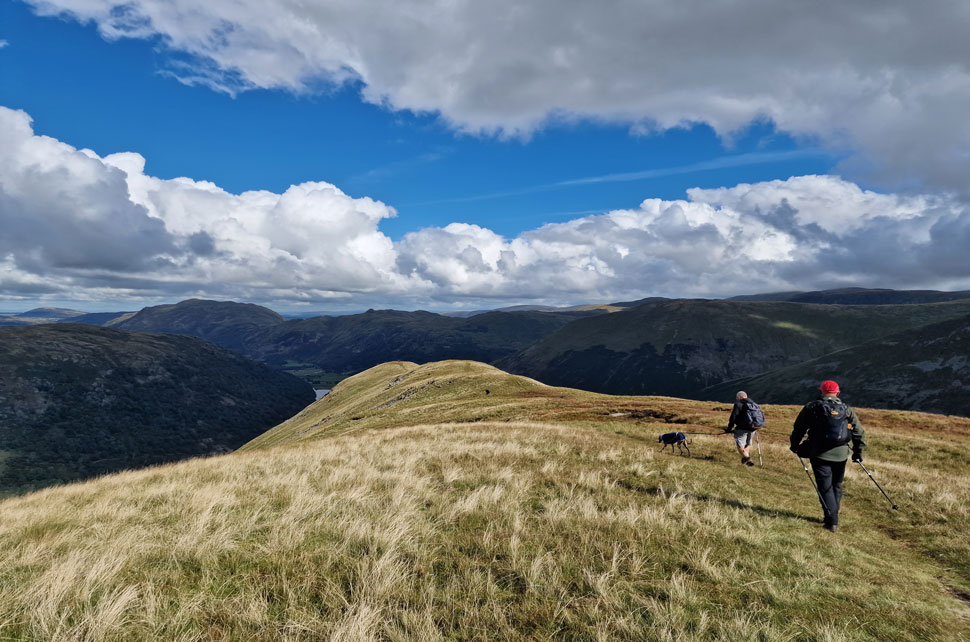
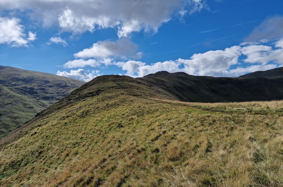
Once I knew I could travel we started to exchange emails on where to walk and I suggested this route, Dove Crag via the Dovedale Valley. It's a route I'm growing to love and would agree, it's becoming one of my 'go to' routes, an extremely rewarding route that you don't have to put much planning into where you just have to let your legs do the work.

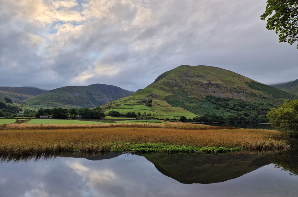
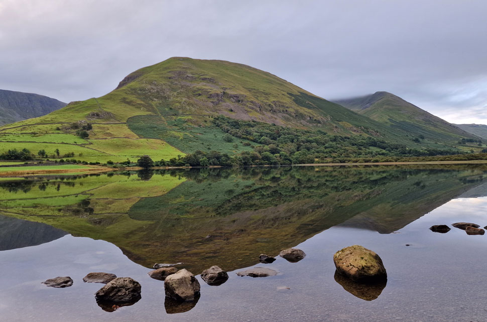
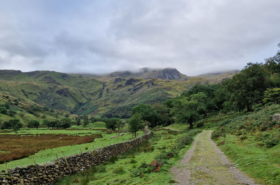
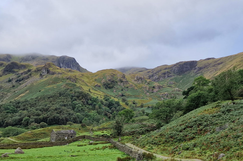
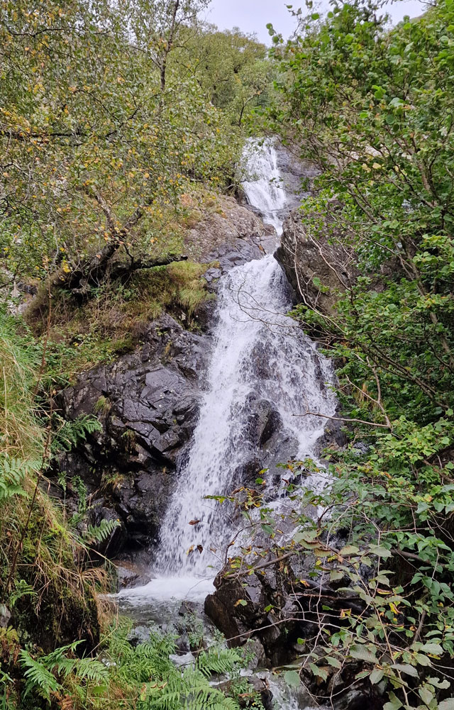
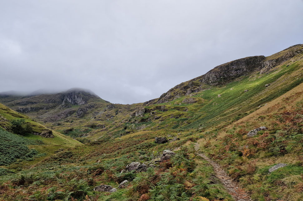
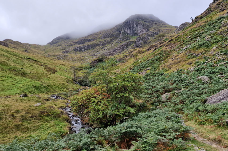
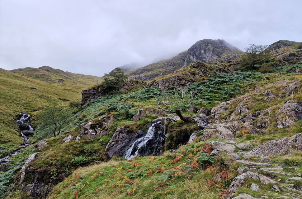
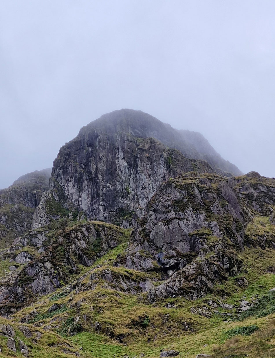
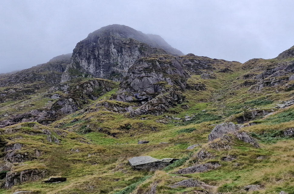
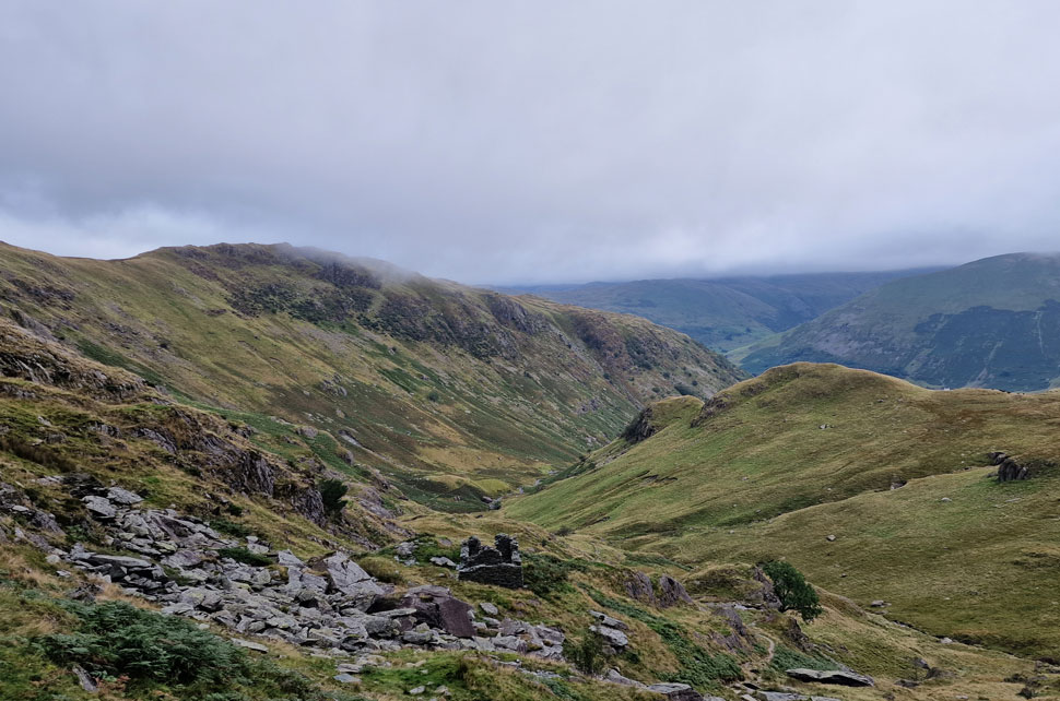
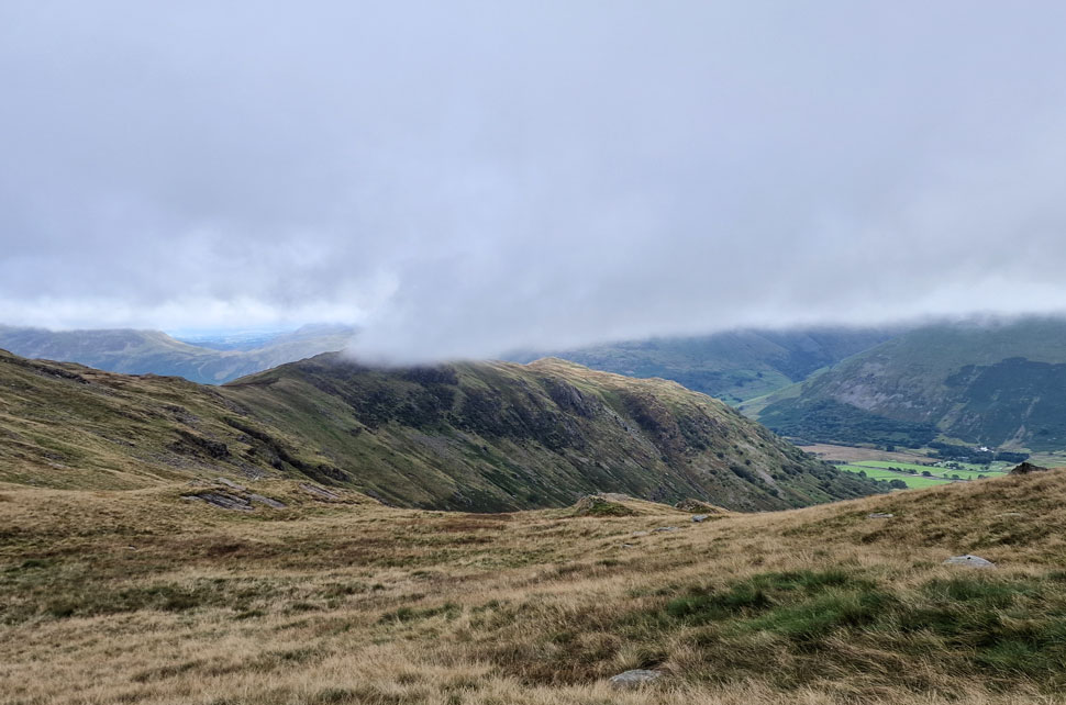
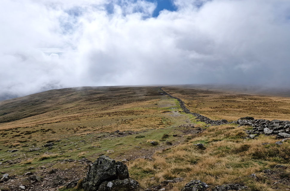
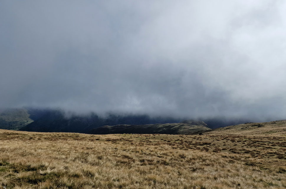
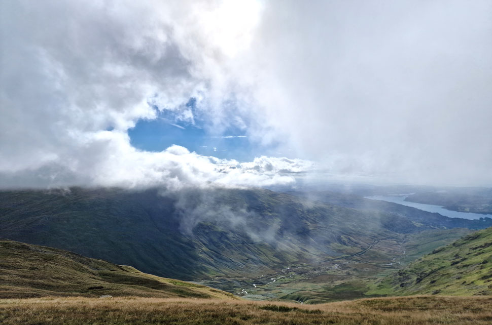
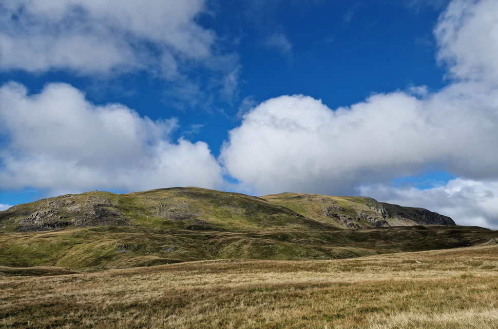
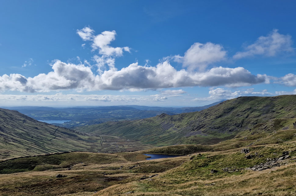
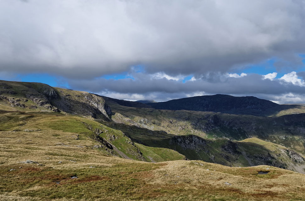
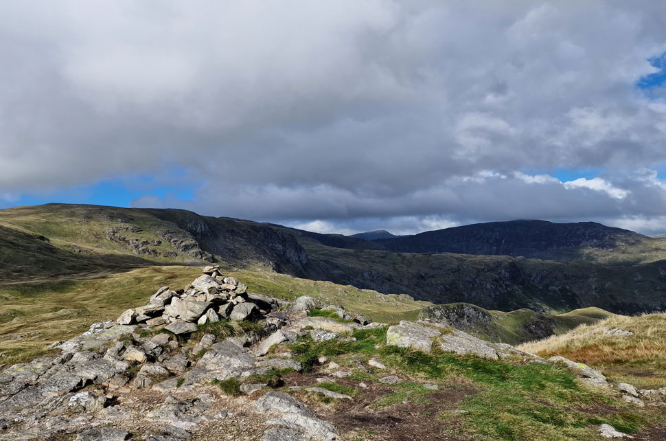
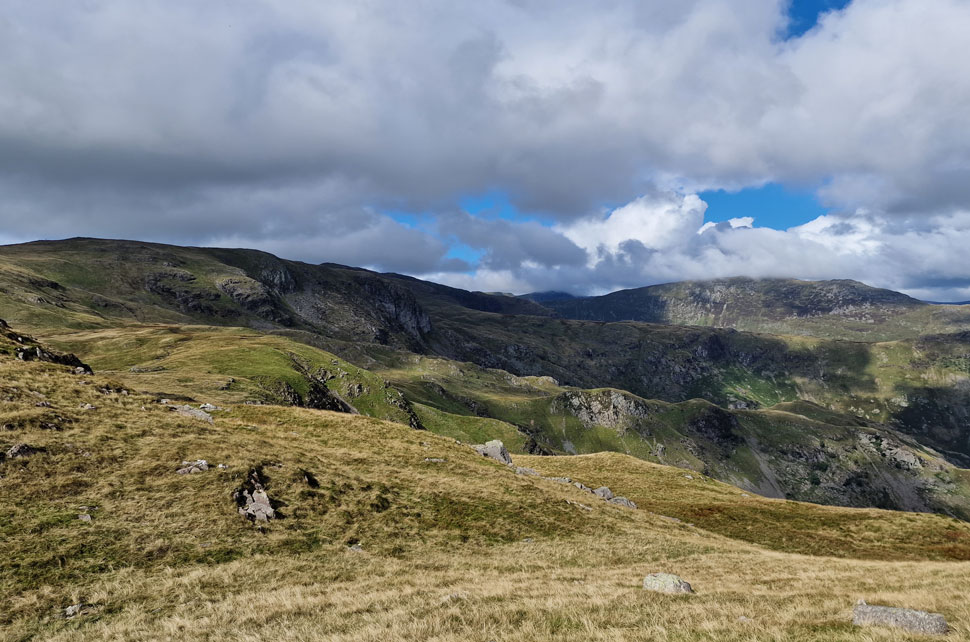
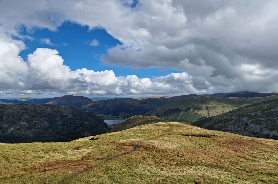
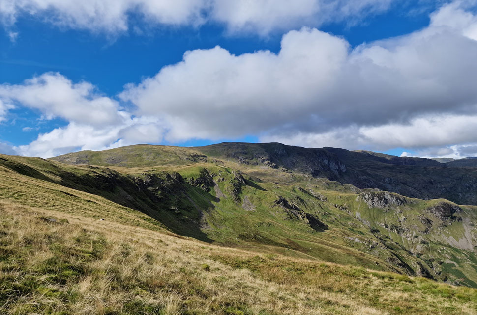
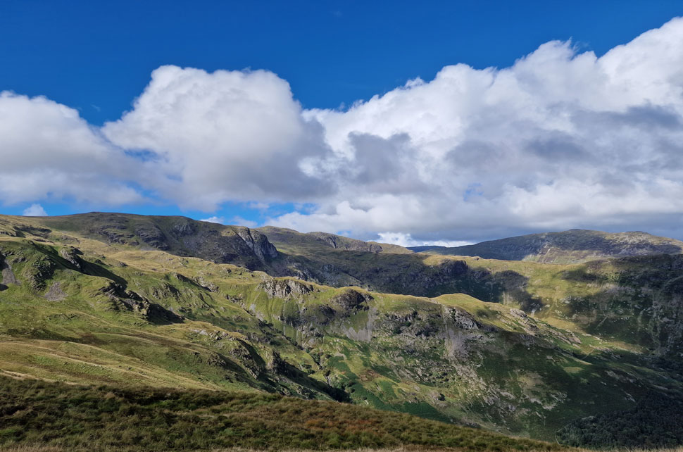
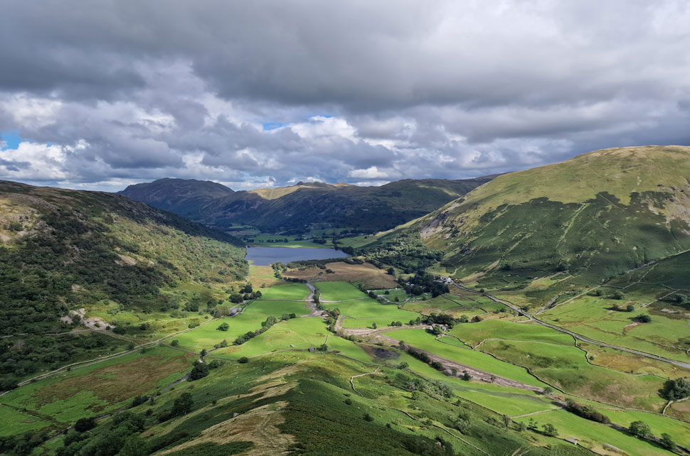
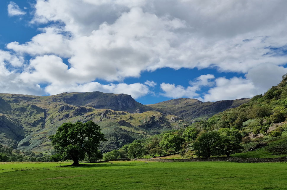
It's a walk that has it all, from lakes, waterfalls, a sweeping hanging valley filled with classic rock scenery over watched by the pinnacle summit of Dove Crag. We walked the route on what can only be described as a day of two halves. The experts were forecasting broken sunshine through the morning and into the afternoon, what we actually got was cloudy skies and summit cloud during the morning which lifted seconds after arriving at Dove Crag summit. I'm a huge fan of clear skies but a walk like today reminds you that the Lakeland fells aren't all about blue skies and sunshine.

 
Wainwright Guide Book
The Eastern Fells

Dove Crag is a mountain of sharp contrast. To the east its finest aspect, it presents a scarred and rugged face, a face full of character and interest. Here in small compass, is a tangle of rough country.


Overview
Ascent: 2,583 Feet - 787 Metres
Wainwrights: 3, Dove Crag - Little Hart Crag - High Hartsop Dodd
Weather: A Cloudy Morning Turning Brighter PM. Brisk Across The Summits Highs of °C Lows of °C
Parking: Car Park, Cow Bridge
Area: Eastern
Miles: 7
Walking With: David Hall, Rod Hepplewhite & Calva The Dog
Ordnance Survey: OL5
Time Taken: 5 Hours 30 Minutes
Route: Cow Bridge - Brothers Water - Hartsop Hall - Dovedale - Houndshope Cove - Dove Crag - High Bakestones - Bakestones Moss - Little Hart Crag - High Hartsop Dodd - Hartsop Hall - Brothers Water
 

Parking Details and Map
Nearest Post Code: CA11 0NZ
Grid Reference: NY 402 813
Notes: Found between Hartsop and Patterdale Cow Bridge car park is split into two by Goldrill Beck and is owned by the National Trust. The car park gives easy accses to Brothers Water the hamlet and Hartsop and of course a variety of eastern fells and valleys. Parking is free for National Trust Members but charges apply for non members.


Map and Photo Gallery


The Knott (below cloud) Gray Crag and Hartsop Dodd from Brothers Water 07:35am 6°C
i was awake well before my alarm went off and decided to get ready anyway which meant I arrived at Cow Bridge at 07:30am a full hour early. Other than a camper van whose owner was standing in Goldrill Beck filling a large plastic bottle full of water I had the run of the car park and parked neatly nose in facing the beck. It was a tad chilly as I laced up and thought what to do with my spare time so I put my jacket on, locked the car and decided to have a walk over to Brothers Water.

Gray Crag and Caudale Moor from a serene Brothers Water.
Five minutes later and I was stood on the shoreline of Brothers Water blowing warm air into cupped hands. It was so peaceful there wasn't a breath of wind or anything to break the silence.

Hartsop Hall.
I returned to the car park around 07:55am and found David and Calva had arrived. It was the first time we'd all walked together since our Harrup Pike wild camp which can you believe, was just over five weeks ago while the country baked in a heat wave. Rod arrived next and by 08:10am the cars were locked and we set off for Hartsop Hall while peering through the trees down on Brothers Water.

Dovedale.
Domineered by Dove Crag (centre) and Stand Crags (foreground) We've often spoke about ascending Dove Crag via Stand Crags but nothing has ever come of it. Today we did a visual recci on the route so what this space for a future walk.

Dove Crag and Stand Crags.
The huge crag over on the right is named The Perch and belongs to the Hartsop above How Ridge whose summit is situated just above. This single track is the only way in and out of the valley and even though we can still hear the odd car travelling along Kirkstone Pass behind us the valley is already starting to feel secluded.

Dovedale Beck waterfalls.

The track ends at a footbridge over Dovedale Beck where beyond we could hear Dovedale Beck falls. To reach it we follow a stony path flanked with bracken on both sides and climb steadily towards the falls.

The falls appear through the trees and which we each take turns to view.. "Five weeks ago we'd have been sat in there" David joked!


Dove Crag from the Dovedale Valley.
We left the falls behind and continued with our ascent until we arrived at a footbridge which crossed Dovedale Beck for the second time. It was here we spotted three walkers heading down the valley carrying large packs who no doubt had camped at Priest Hole cave below Dove Crag summit.

Dove Crag looms.
The valley floor deviates between flat underfoot and the odd scurry over rock which Calva handled with no problems, in fact unlike the rest of us Calva hadn't even broken a sweat.

The ascent begins.
.As the footpath passes below Houndshope Cove.

Remind you of anything?
If your thinking Pillar Rock we're reading from the same page (no pun intended!)

Ascending alongside Dove Crag.
The rock staircase can be seen to the right which although steep, is a joy to ascend.

Looking beyond an ruined shepherds hut towards Stand Crags and Hartsop above How.
It's here from out of the blue we are passed by a fell runner and his dog who appeared ahead of us from Houndshope Cove. He then skipped over the path and continued his pathless ascent. Now there's a chap we agreed, who's eaten four Weetabix this morning

Looking back over Houndshope Cove towards Hartsop above How.
It didn't go unnoticed that the temperature had dropped as we were about to enter the cloud line with a notable wind picking up too.

Cloud clearing, Dove Crag.

We flanked the vastness of Dove Crag and caught the briefest of glimpse of the Priest Hole cave which looked eerie in the cloud. Continuing on we followed the path towards the col linking Dove Crag and Hart Crag. Arriving at the col visibility was down to around sixty feet and sadly there were no signs of Hart Crag or Fairfield beyond.

We turned left and started the easy ascent towards the summit where we passed a young couple who Calva took a shine to coming in the opposite direction. After a few words we left the couple and soon the summit cairn appeared which was perched on a plinth of rock. By now it was gusty and with a windchill hovering around zero we downed packs and added gloves while David slid a jacket over Calva.

Re-shouldered we left the summit where as if by magic the cloud began to lift helped by a thirsty wind. It's a scene during the Summer months you don't often get to see but when you do, it leaves your stomach performing little somersaults.


Just below the cloud...
...Little Hart Crag and High Hartsop Dodd appears.

Meanwhile to the south.
The Coniston and Central fells appear.

Windermere seen beyond the Scandale Valley from High Bakestones.
While enjoying watching the cloud lift we headed east over High Bakestones.

High Pike (Scandale) seen with a distant Windermere.
It's hard to believe that it's the same day as the Autumn sunshine takes over the winds chill.

High Bakestones cairn.
Soon the large cairn on High Bakestones came into view where we found a solo walker taking a few photos. After a brief chat he left to make his ascent on Dove Crag.

Calva.
Before leaving I took a few photos of Calva in his hoodie jacket who as you can see, was happy to pose...We could have sworn he was smiling here.

Descending High Bakestones for Little Hart Crag.
We left High Bakestones and began our descent over Bakestones Moss towards Little Hart Crag. Although it doesn't look it there was quite a few people knocking about most of whom were heading for Dove Crag.

Looking back on High Bakestones (left) and Dove Crag (right)
Even though it was only 11.30am we decided to have an early lunch before we summit Little Hart Crag 'somewhere out of the wind' would be great.

Early lunch with a view.
We settled just below Little Hart Crag summit over looking Scandale Tarn and the Scandale valley. Out of the wind it was starting to feel like a proper Summers day. That's High Pike and Low Pike seen over on the right.

Dove Crag, Stand Crags, Hartsop above How and St Sunday Crag.
That's Helvellyn in the distance whose summit is still below cloud.

The same view from Little Hart Crag summit.
After the easy ascent on Little Hart Crag we took in the views again, views that I never seem to tire of.

Looking down and across the Dovedale Valley.
We again recci a route over Stand Crags from where we plan to summit Dove Crag for a future walk.

Isn't this the same photo as the last?
Similar, but I like the view that much I thought I'd include this one too (just in case you were wondering)

The view down the High Hartsop Dodge ridge.

Before legendary Lakeland author Ron Black passed away during his illness Ron rang me to ask "Hey youth (Ron always addressed me as youth) do you think a helicopter could land on the High Hartsop Dodd ridge?" At the time I was enjoying drinks with my wife and friends in a bar in Manchester and over the noise I could hardly hear Ron so I left the bar via a fire exit and continued the phone call in nearby alley way.

Ron went onto explain that he feared Blodwen his partner wouldn't be able to climb onto the summit and was thinking of hiring a helicopter to land there so when the time came Blodwen could spread his ashes at his favourite summit.

I agreed that a helicopter could land on the ridge and Ron thanked me and ended the call. I returned to the bar a different person feeling like the wind had been knocked out of my sails. Ron sadly passed in 2017 and sadly, I'm unaware if Ron's ashes were spread here but that doesn't stop me having a quiet word whenever I'm here.


Looking back along Black Brow.
Towards Stand Crags, High Bakestones, Dove Crag and Hart Crag.

Blessed in sunshine.
As we continue towards High Hartsop Dodd summit.

What a place.
 

The view over Caiston Glen towards Middle Dodd and Red Screes.
Yes, it really is that steep.

Little Hart Crag and High Bakestones from High Hartsop Dodd.
The sunshine continued as we followed the ridge and stopped to take a few photos when we arrived at the summit. Looking back the ridge looked glorious.

Looking down the nose of High Hartsop Dodd towards...
...Brothers Water, Hartsop Dodd, Hartsop above How, Brock Crags, Angletarn Pikes and Place Fell.

Stand Crags, Dove Crag, Dovedale and Hart Crag as we near Hartsop Hall.

We began the our descent and caught up with a couple who had passed us while we were eating lunch earlier and Hi's were exchanged again. The path can be narrow and steep in places and can make a 7 mile walk feel more like 10. The familiar barn at the foot of High Hartsop Dodd comes into view as does a herd of Galway cattle who graze in the afternoon sunshine. Passing the barn we walked over open farm land past the huge boulders then over the Dovedale Beck for the last time. I the next field sheep are grazing who don't seem to notice us with the exception of one who used the wheel of nearby trailer to scratch itself on. Hartsop Hall is reached from where we pick up the footpath alongside Brothers Water and through gaps in the trees sunlight glints off the surface.

With Brothers Water behind us we pass through the gate and back onto the car park which by now is at bursting point with folk still arriving. Goldrill Beck flows right through the car park and provides the sound track as we kit down behind our cars, during which time it's agreed we are to meet up again next weekend. Under the Autumn sunshine we left simultaneously and while David and Rod drove towards Patterdale I head back over Kirkstone Pass where from the drivers seat I was able to take the view of Dove Crag where only a few hours earlier the summit had been lost in cloud.


Back to top