Scout Moor Wind Farm

4th September 2022

The bright weather broke come weekend and to add to the frustrations it was my weekend off. Saturday looked a washout on paper but it didn't turn out as wet as expected and I was able to take Brad & Holly on an unrecorded walk around Winter Hill which I had to cut short because Holly seemed off side and a long walk with Dad wasn't the cure, don't worry Hollies fine but like the rest of us Holly has her ups and down days too. Sunday looked brighter especially through the afternoon so I hastily put this walk together, well lets go back. I put 'A' walk together but I missed a path very early into the walk and ended up making it up as I went along instead.

Scout Moor Wind Farm lies between Edenfield, Rawtenstall and Rochdale and if you know where to look you can see Scout Moor from Winter Hill and even from Wigan well over 20 miles away. Of course Scout Moor wasn't always a wind farm, back in 2005 Peel Wind Power Ltd proposed to build 26 Wind Turbines and planning permission was granted and was completed in September 2008 where a work force was forced to endure 120mph winds and -25°C temperatures. To combat the harsh conditiions it is said that 30k was on spent on winter clothing to keep the work force warm. Seems the ideal location to build a wind farm much to the dismay of the opposition at the time.


Overview
Ascent: 725 Feet - 221 Metres
Summits: 3, Whittle Pike - Higher Hill - Knowl Hill
Weather: Cloudy to Start Turning Brighter During Into The Afternoon. Windy Where Exposed Highs of 24°C Lows of 22°C
Parking: Lay by, Opposite Ashworth Moor Reservoir
Area: South Pennines
Miles: 5.8
Walking With: On My Own
Ordnance Survey: Explorer 277
Time Taken: 2 Hours 35 Minutes
Route: Ashworth Moor Reservoir - Cheesden Edge - Kill Gate Brook - Top of Cheesdon Pasture - Cheesdon Brook - Grain Brook - Rossendale Way - Whittle Pike - Higher Hill - Man Road Ditch - Knowl Hill - Red Lumb Brook - Ashworth Moor - Ashworth Moor Reservoir
 

Parking Details and Map
Nearest Post Code: OL12 7TY
Grid Reference: SD 829 159


Map and Photo Gallery


Owd Betts Inn, Edenfield Road Rochdale 13:45pm 22°C

It took me a couple of hours to come up with the route which including the gathering of information on where to park, finding a large layby nestled on the A680 between the Owd Betts Inn and Ashurst Moor Reservoir looked ideal. I was to arrive early afternoon and was beginning to panic if I'd find an empty place at the lay-by, after all I'm not from round here and coming up with a plan B seemed out of the question. Luckily enough there was plenty of empty places when I arrived and I proceeded to kit up at the back of my car while trying to get my bearings "looks now't like I imagined it would" but it never does.

The afternoon started off cloudy but according to the experts this would break for a brighter afternoon within the hour so I keep with the Summer attire but rolled my Montane stretchy hoodie into my pack should I need it. Within five minutes I'd sort of got my bearings and crossed the A680 before passing through a gate which gave instant access onto the moorland.


Heading along Cheesden Edge towards Kill Gate Brook.
As soon as I passed through the gate things started to fall in to place, or so I thought they did. I started to head up Cheesden Edge but mistook the wall to the left of Kill Gate Brook from a wall I'd passed earlier. I guess while getting my bearings I was too busy locating my exact postion. It was no biggie the wall I needed was falling away over my left shoulder and to reach it I'd have to double back or cross the moorland pathless. Other than not walking the route I planned it was no issue and that's the way I saw it.

Looking back on Peel Tower above Ramsbottom.
With Counting Hill and Winter Hill seen in the distance.

At the top of Cheesden Edge crossing Kill Gate Brook.
After crossing Kill Gate Brook I followed the stone walk for a short while which took me with a few feet of the wind turbine seen in the photo.

Service Track with Higher Hill seen left.
I passed below the previous wind turbine where the boy in me came flooding back. I know Wind Farms can be a blight on the landscape and aren't to every ones cup of tea but as a first time visitor I was in my element here.

Looking across to Fecit Hill (left) and Whittle Pike (right)
My original route would have seen me gain Fecit Hill from the moorland below before going on to Whittle Pike.

Higher Hill in view.
Just in case you were wondering each turbine is 197ft tall and has a wingspan of 262ft. It's quite a blustery day so the turbines are turning at some knots creating a whooshing sound and the closer I got that whooshing sound sounded like millions of bubbles whooshing to the oceans surface, that's the best way I can describe it anyway...then there's the 'what if' one of those blades decides to give way while I was walking underneath it.

Fecit Hill as I change plans.
Instead of heading straight to Higher Hill via the service track I turn left and head towards the turbine (seen to the left of the centre turbine in previous photo) after spotting a faint track which flanks below Higher Hill and heads towards Whittle Pike.

Wind Turbines, Scout Moor.
It looks like the sunshine is about to arrive.

Crossing the moor.
As I head towards Whittle Pike, Higher Hill is now out of view but over to my right.

Fecit Hill.
With Rossendale Way seen running parallel below.

Before reaching The Rossendale Way.
Grains Brook is crossed to the annoyance of a few local sheep.

Whittle Pike.
I could continue to cross the moorland but to keep things easy I keep to the service track.

Higher Hill and Scout Moor Wind Farm.
The hump in the centre is Knowl Hill, todays final summit which looks a lot further away than it actually is.

Whittle Pike Memorial summit cross.

This cross on top of Whittle Pike near Bury, Lancashire is a memorial to Flying Officer Geoffrey Molyneux who was one of 18 men killed while on an RAF exercise over the Irish Sea on January 11th 1955. F/O Molyneux was a navigator on Shackleton WL743

The cross was erected by a local Scouts group of which F/O Molyneux was a founder. In the most tragic of circumstances it is thought that the two Avro Shackleton aircraft who should have been 85 miles apart crashed into one another while searcing the same target area over Scout Moor.


Scout Moor.
From Whittle Pike I head back towards the service track bound for Higher Hill seen here with the transmitter mast.

The view over Cowpe Lowe...
...towards Pendle Hill some fifteen miles away.

While to the east.
Is Tottingham Higher End Moor and Cowpe Moss.

Higher Hill.
Can be seen a little clearer in this photo with Knowl Hill seen behind the turbines over on the right.

Cowpe Lowe.
With Pendle Hill in the disance.

Back on the Service Track.
As I head towards High Hill. The footbridge is used to cross Grain Brook which was a little more than a trickle today.

Looking back on Whittle Pike.
Taken from Higher Hill.

Transmitter, Higher Hill summit.
I left the service track and did a little cross country to gain Higher Hill summit. Knowl Hill is approximately one mile away which I could reach by walking the service track over Cheesden Pasture but seeing as it's been so dry as of late I'm going to take my chance with a direct route via an area of the map known as Man Road Ditch which I would imagine would be a quite squishy during the Winter months.

If you're into Wind Turbines or not.
The views where amazing.


Looking back on Higher Hill from Man Road Ditch.
I left Higher Hill and made a direct descent crossing another service track before joining the moorland known as Man Road Ditch. As the map suggests, it should be very boggy but after weeks without rain I was able to keep my boots dry during the whole crossing.


Looking across to Hail Storm Hill, Great Ding and Ding Quarry.
Below Ding Quarry the moorland drops nearly 600ft to three Reservoirs named Naden Higher Reservoir, Naden Middle Reservoir and Naden Lower Reservoir.

Distant views over Man Road Ditch towards Whittle Pike (left) and Higher Hill (right)
Time for the short, but steep ascent on Knowl Hill now.

Knowl Hill summit.
Knowl Hill summit was easily gained where I joined two large walking groups who were soaking up the afternoon sunshine. I was surrounded by moorland around the compass with the exception of the south where distant views of Rochdale, the sky scrapers of Manchester and the far away peaks of the Peak District. What a view.

Scout Moor Wind Farm.
Taken during the descent of Knowl Hill.

Ashworth Moor Reservoir and a distant Winter Hill from the descent of Knowl Hill.
 

One last look back at Knowl Hill.
It seems that the groups have decided to leave too.

Wind Hill and Ashworth Moor Reservoir.
 

Scout Moor Wind Farm.

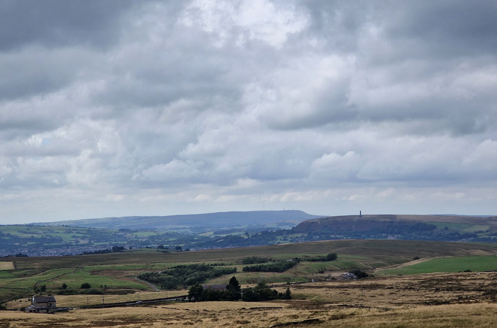
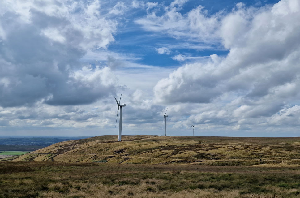
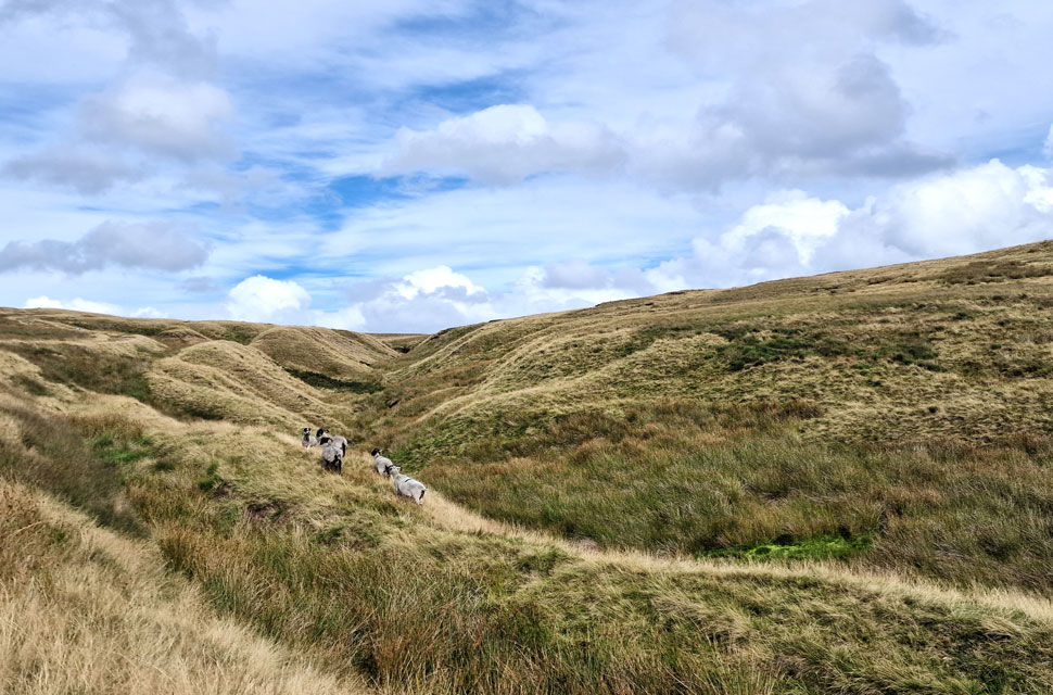
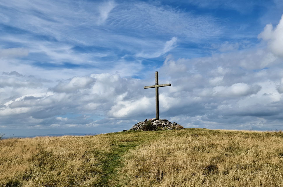
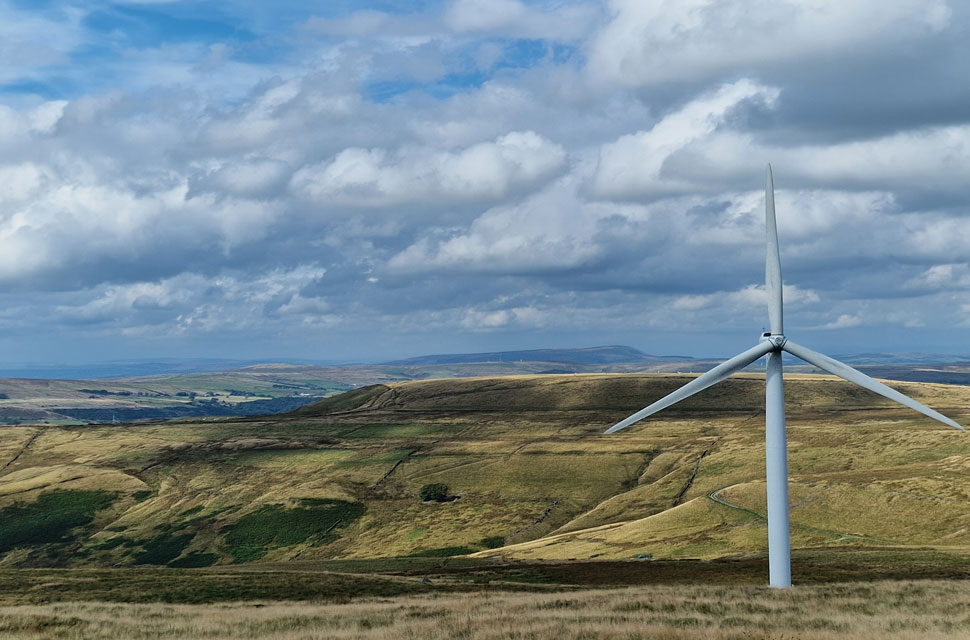
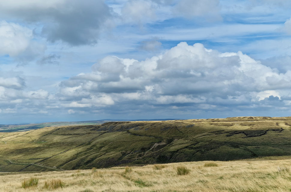
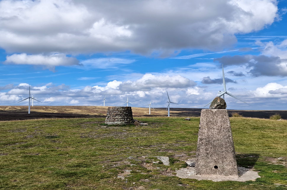
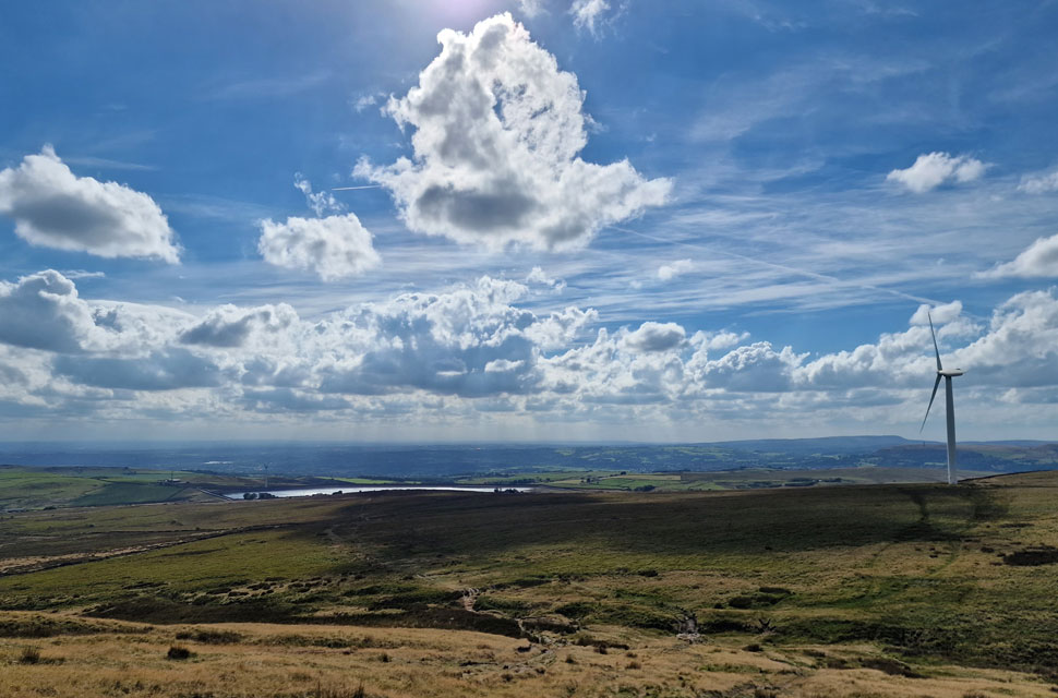
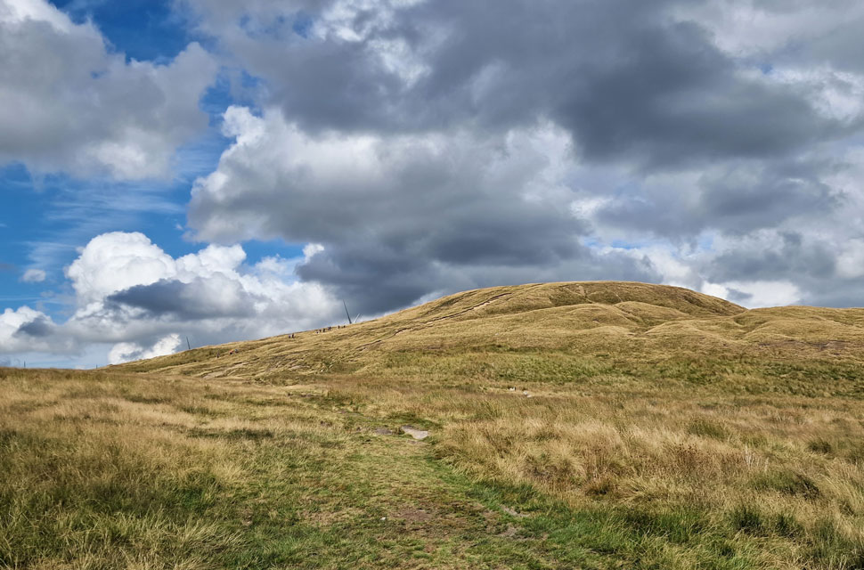
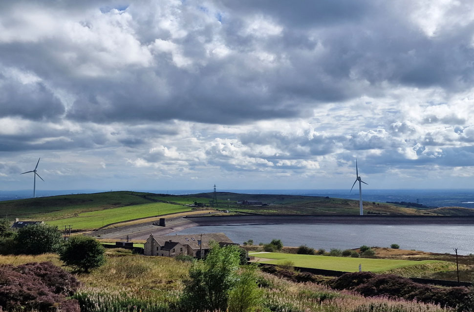
With Knowl Hill behind me and, under a pleasantly hot afternoon sun I took in the views over a glistening reservoir before stopping to look back on Scout Moor which was everything I'd imagined and more. Despite Knowrl Hill summit being busy the only other folk I'd seen where from afar and apart from them I'd only been passed by a chap on a mountain bike, the rest of the walk I'd had to myself in 'discovery mode'

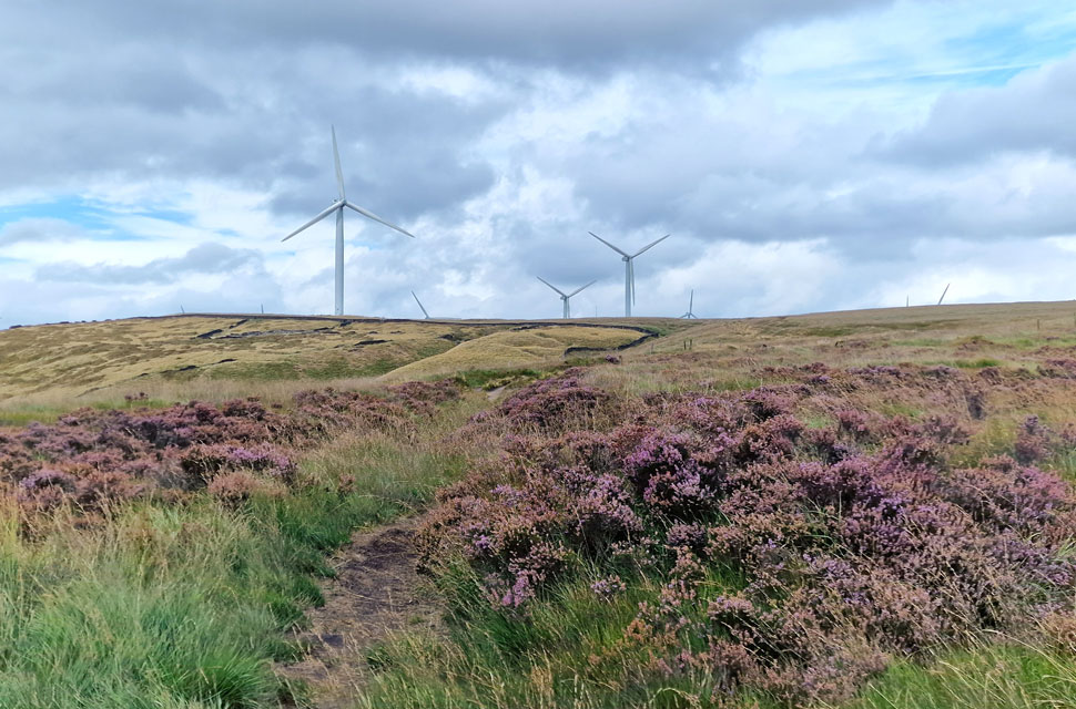
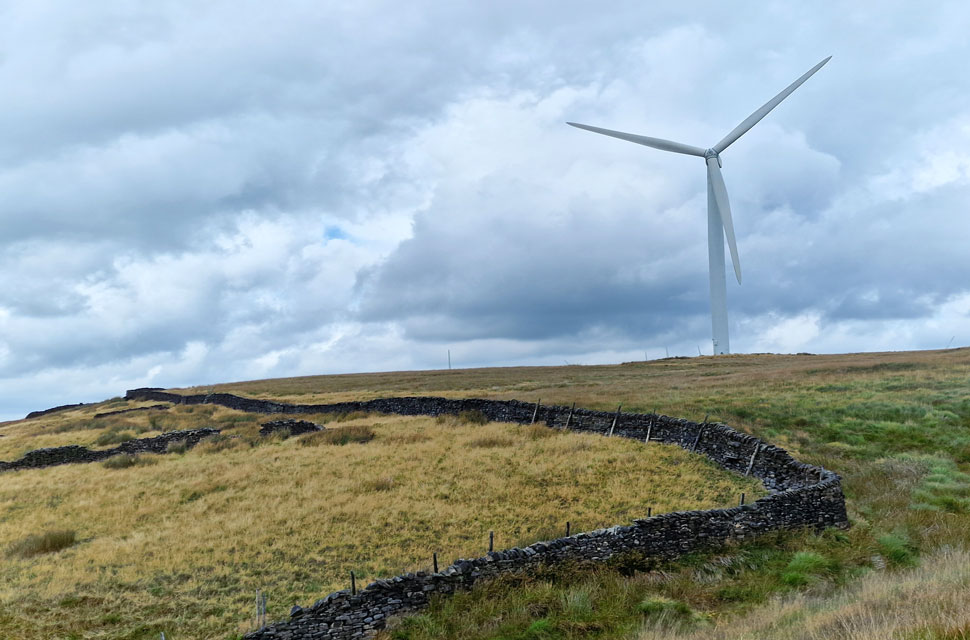
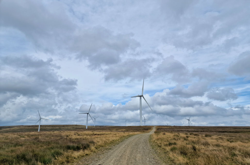
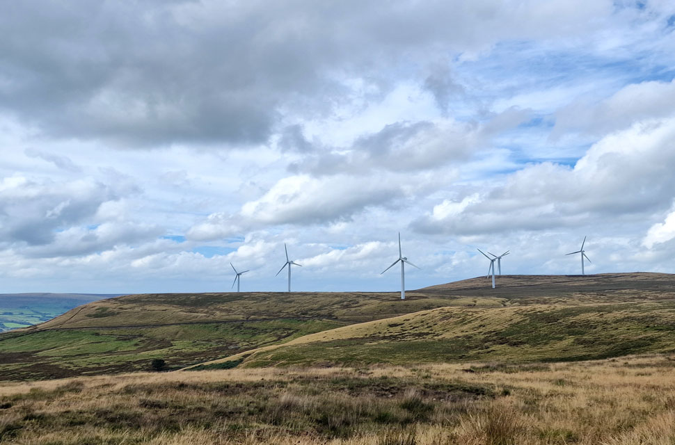
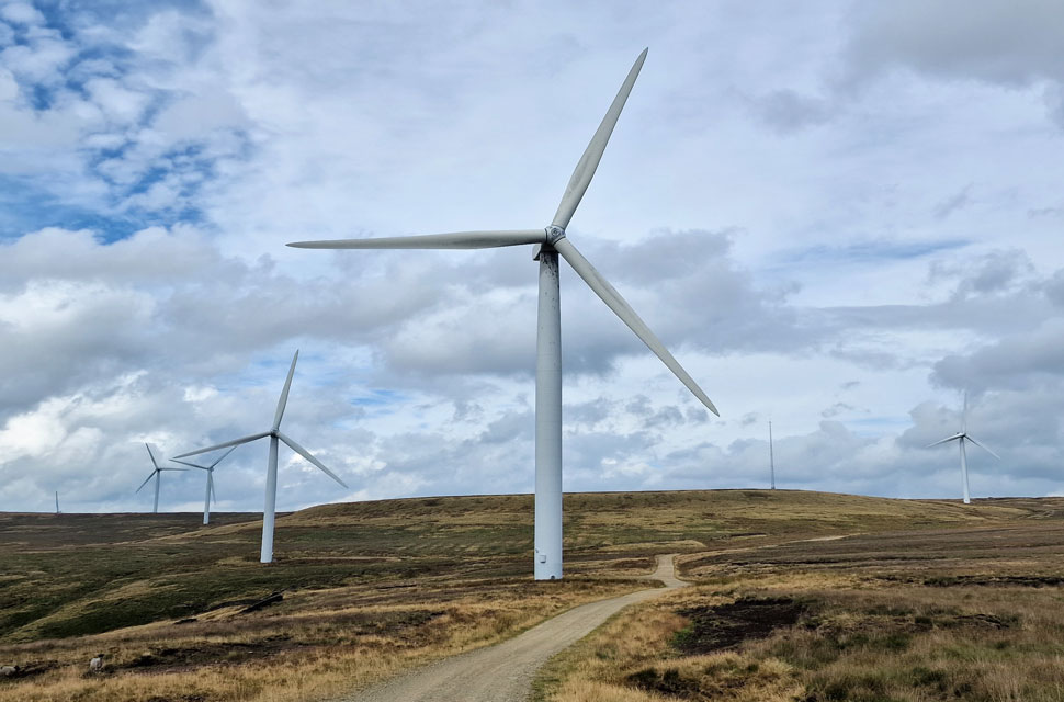
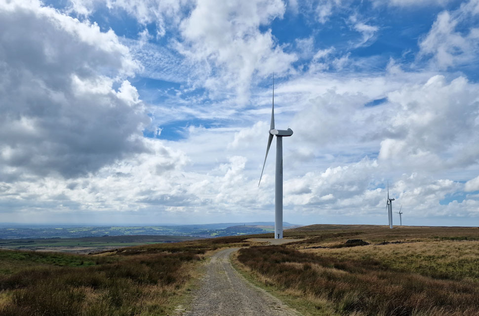
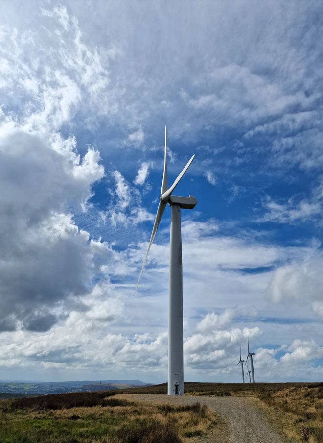
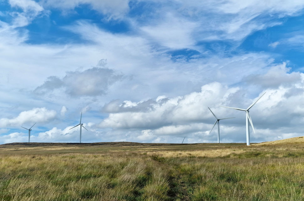
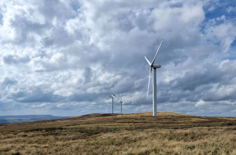
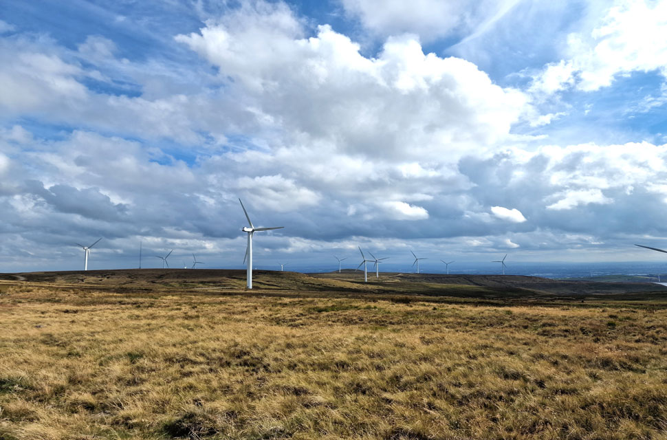
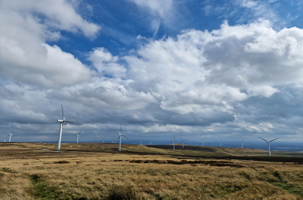
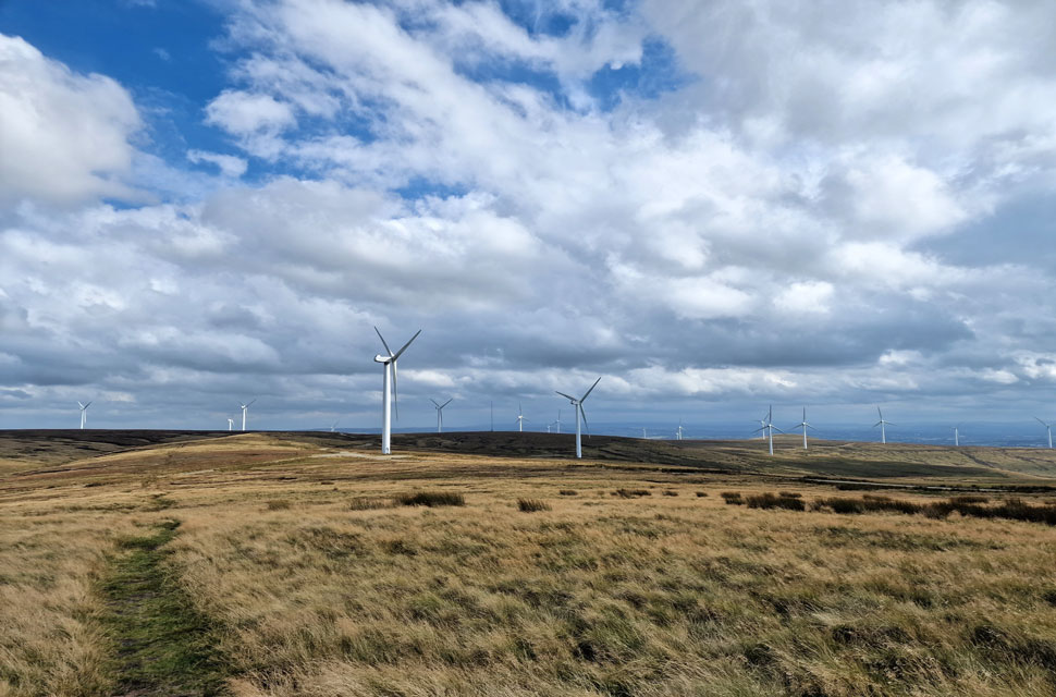
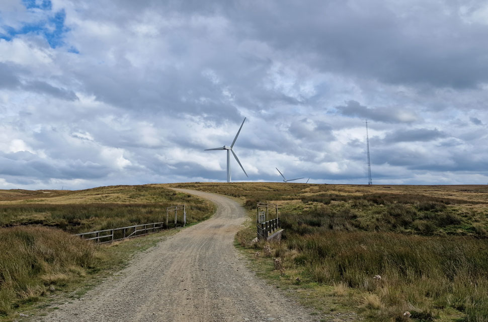
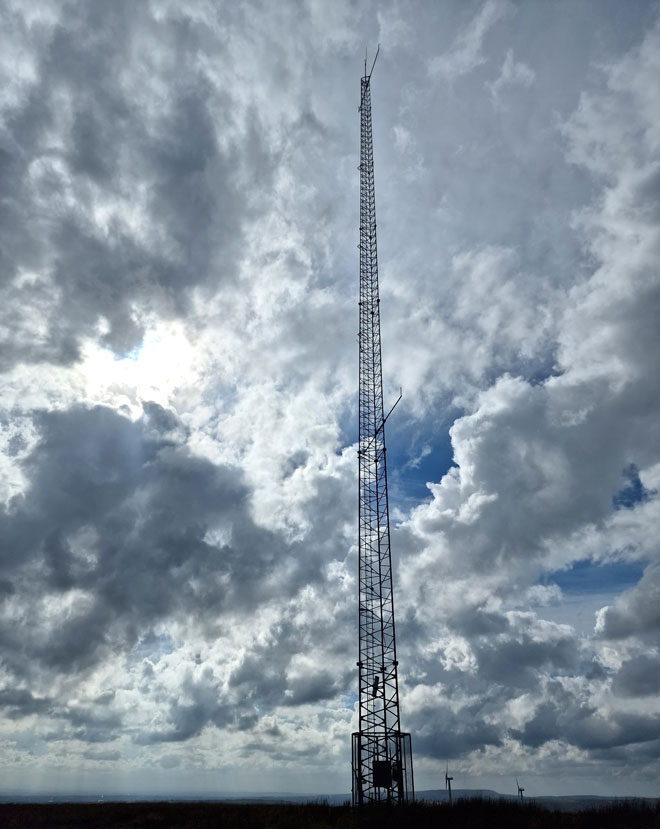
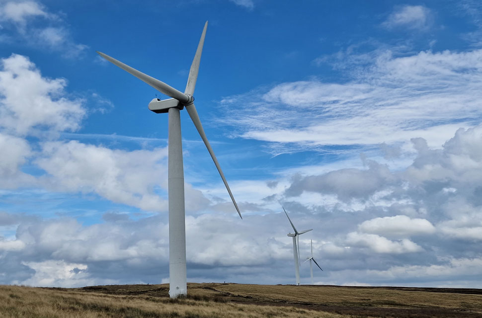
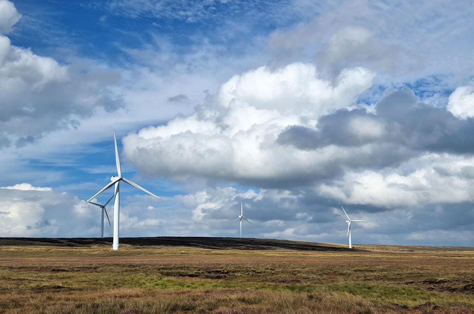
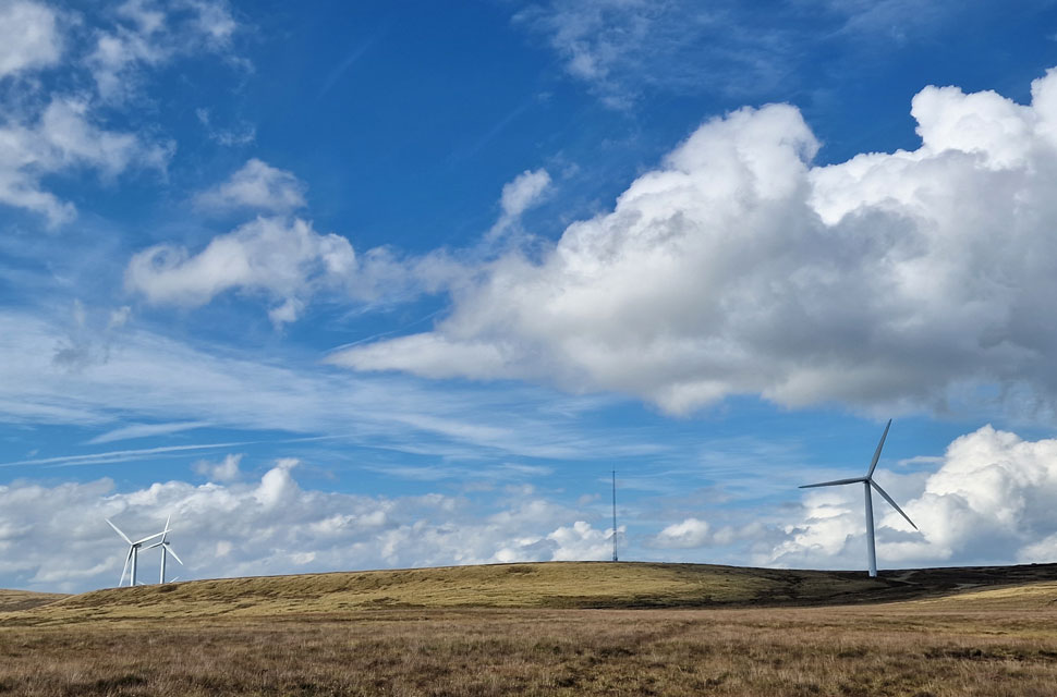
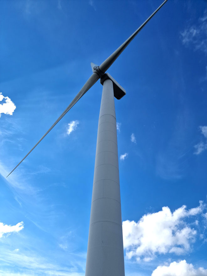
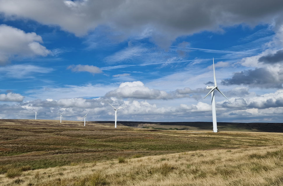
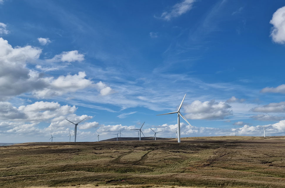
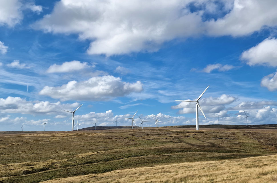
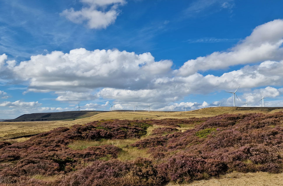
A six miler on uncharted ground does the soul a world of good while my earlier mistake reminded me that I'm still human. The wind, the wild grasses, the moorland and skylarks coupled with modern renewable energy who would ever want to visit Scout Moor?

I'd come again, what a place.


Back to top