Helvellyn to Clough Head

23rd July 2022

During the heat wave last Monday I actually managed to get out and test what walking was like in 32° heat setting off from Wilderswood above Horwich for Winter Hill carrying just a 2ltr bottle of water wasn't quite what I expected. First of all let me explain that I don't react good to high temperatures, yeah I can sit there and sunbathe but doing anything physical is difficult which I proved while ascending Cam Spout Crag last Summer when I was physically sick.

Re-wind to last Monday and add 8° I started to struggle from the off the heat at low level was just unbearable, it kind of traps you in a cocoon and the only escape it was to get out of it "what the bloody hell am I doing" I asked myself but thanks to a breeze which helped to control my body temperature I was able to walk around six miles in relative comfort, had it not been for that breeze however, I wouldn't have made it one mile. The heat just sucked the energy out of me.

Fast forward a couple of days with the heat wave now over the UK temperatures have returned to normal and so too has Summer but the wind and rain wasn't enough to put Rod and I off completing this corker of a walk which originally started off as 'The Helvellyn Ridge' from Clough Head to Dollywagon Pike but due to rain arriving by midday was shortened to Helvellyn to Clough Head instead. Why switch direction I hear you ask? Well, that was due to a southerly wind which we would have been walking into so we switched directions so the wind would be behind us. It does one well to get out there and experience the cloud, wind and rain every now and again.

 
Wainwright Guide Book One
The Eastern Fells


The altitude of these fells and the main connecting ridges is consistently above 2500 feet from Dollywagon Pike (2810') to Great Dodd (2807') except for the depression of Sticks Pass which is slightly below. This is the greatest area of high fells in Lakeland, and the traverse of the complete range from south to north (the better way) is a challenge to active walkers


Overview
Ascent: 3,943 Feet - 1,202 Metres
Wainwrights: 7, Helvellyn - White Side - Raise - Stybarrow Dodd - Watson's Dodd - Great Dodd - Clough Head
Visiting: 3, Browncove Crags - Lower Man - Calfhow Pike
Weather: Cloudy With Light Showers, Easing But Remaining Cloudy With Strong Southerly Winds. Light Rain Returning PM MHighs of 14°C Lows of 12°C
Parking Using x2 Cars: Roadside Parking Wanthwaite - Lay-by North of Swirls
Area: Eastern
Miles: 11
Walking With: Rod Hepplewhite
Ordnance Survey: OL5
Time Taken: 5 Hours 15 Minutes
Route: Swirls - Helvellyn Gill - Browncove Crags - Helvellyn - Lower Man - White Side - Raise - Top of Sticks Pass - Stybarrow Dodd - Watson's Dodd - Great Dodd - Calfhow Pike - Clough Head - Wanthwaite Bank - Hilltop Quarries - Wanthwaite
 

Parking Details and Map Roadside Parking Lanthwaite
Nearest Post Code: CA12 4UB
Grid Reference: NY 315 923
Notes: Wanthwaite, found between Threlkeld and Thirlmere is perfectly positioned to access Clough Head, the Dodds and High Rigg, however the roadside parking is limited with space at both sites for upto three well parked cars each. More spaces for upto four cars can be found close to Wanthwaite Bridge. My advice is to arrive early to guarantee a parking place. Parking is free.


Parking Details and Map Lay-by North of Swirls
Nearest Post Code: CA12 4TW
Grid Reference: NY 316 416
Notes: The car park at Swirls is a very popular car park all year around and is owned by United Utilities. There is a toilet block on the car park with easy access onto Helvellyn via Browncove Crags. On the opposite side of the A591 a smaller car park can be found overlooking Thirlmere Reservoir. Parking charges apply at both car parks, however a short distance north (upper arrow) a lay-by can be found where it is free to park.


Map and Photo Gallery


Browncove Crags from the Lay-by North of Swirls 8:00am 12°C

Using two cars we arranged to meet at Wanthwaite where Rod left his car before driving the short distance to the lay-by north of Swirls from where todays walk starts. I left Wigan under blue skies and even witnessed a lovely sunrise in the east before the skies clouded over north of Lancaster and by the time I left the M6 at Penrith there was no signs of any sunshine just grey cloud as far as the eye could see. The forecast was for 80% clear summits during the morning then to decline to 20% from lunchtime onwards. We'd predicted a soaking somewhere between Stybarrow Dodd and Clough Head and packed waterproofs accordingly which felt surreal when only days earlier the UK broke the record for the highest temperature ever recorded.

It was a cool 12°C at the lay-by and despite wearing shorts we both threw on windproof jackets over our base layers and packed waterproof jackets into our packs. Could we have got away with setting off wearing just waterproof jackets, in hindsight probably. We left the lay-by and walked towards Swirls car park remembering to walk the verge left of the barrier before hopping over it at the last minute just to keep away from the traffic. On the other side of Thirlmere cloud drifted above the reservoir sometimes obscuring both Raven Crag and Fisher Crag, it was a dull start and certainly not a blue sky camera day.


Looking back onThirlmere, Armboth Fell, High Tove, High Seat and Raven Crag.
We passed through Swirls car park which was starting to get busy with more cars arriving before crossing Helvellyn Gill via the wooden footbridge. Up ahead we could see at least five walkers in ascent the most distinctive of which was a chap wearing a bright red jacket at the front of the pack.

Browncove Crags up ahead.

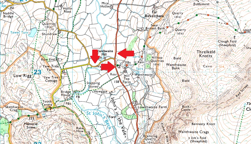
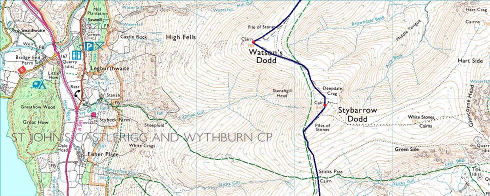
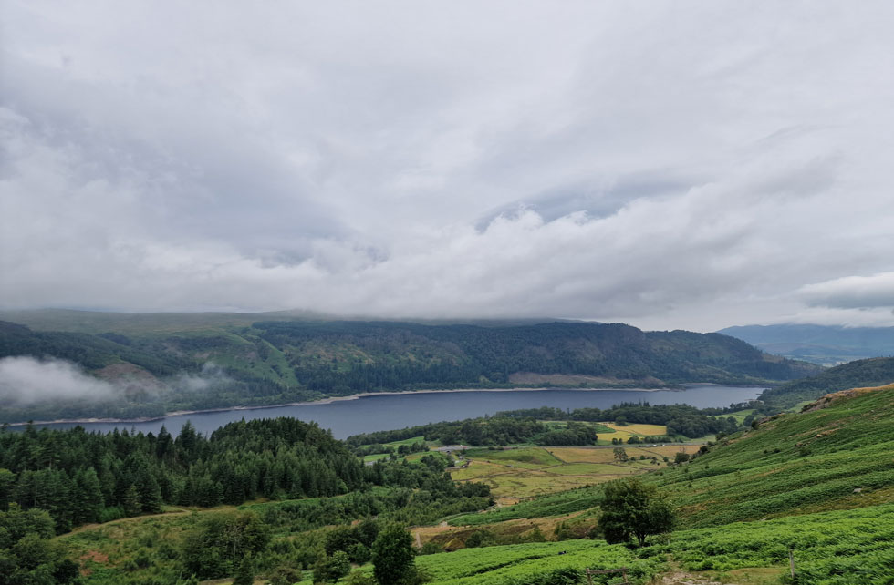
We found good stride and soon were overtaking the rear of the pack one of whom was a solo woman and a 'morning' was shared. A solo chap was closing in on Rod and I and despite our best efforts I stopped to let him pass and noticed he was wearing a Royal Navy beanie, perhaps he was military which would explain his fitness.

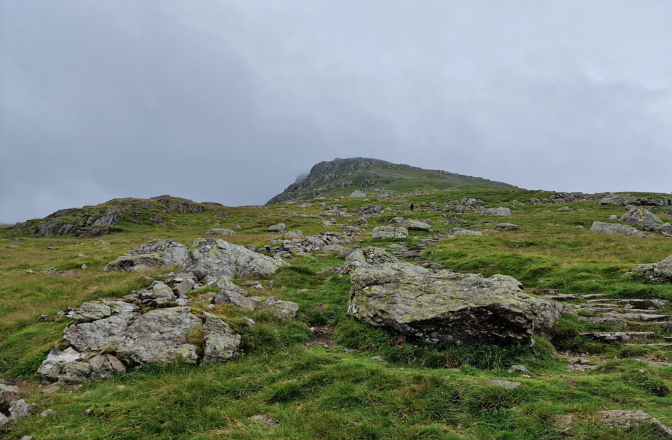
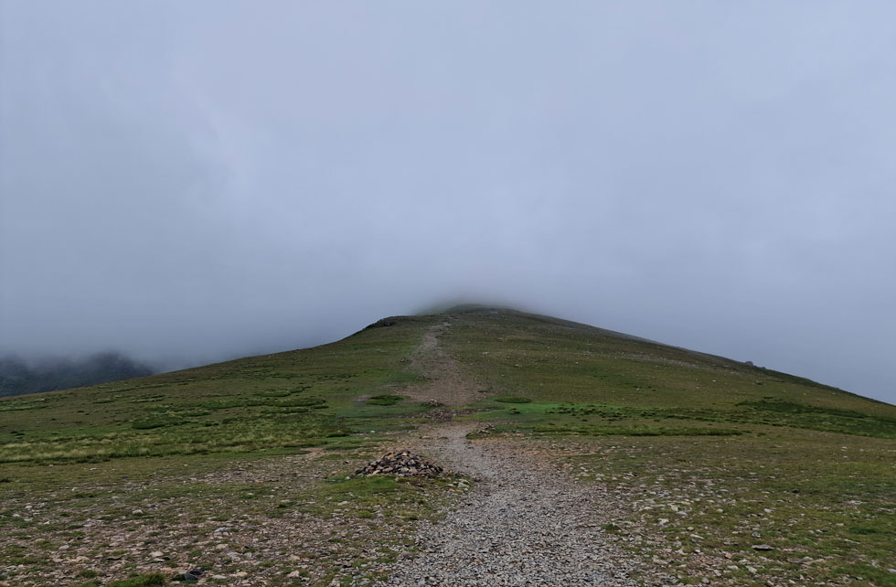
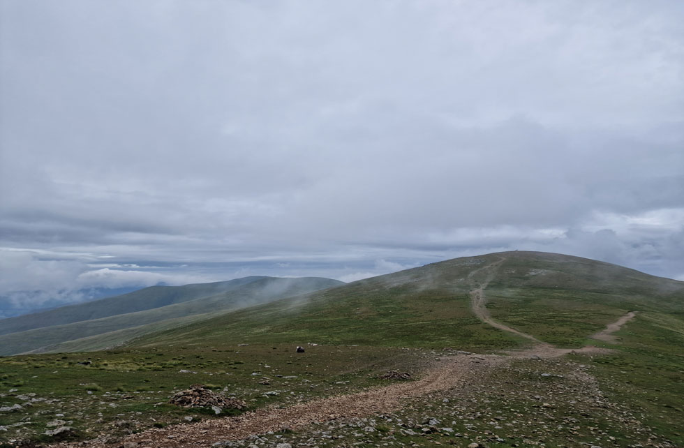
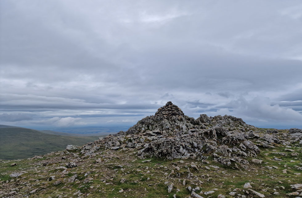
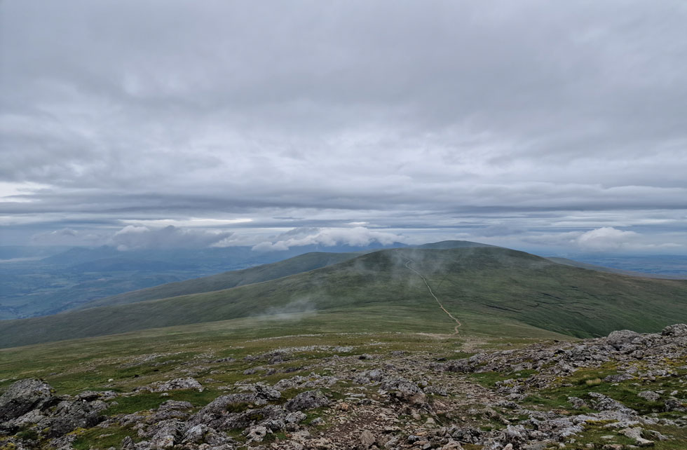
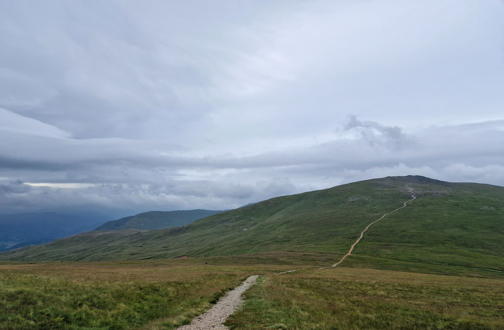
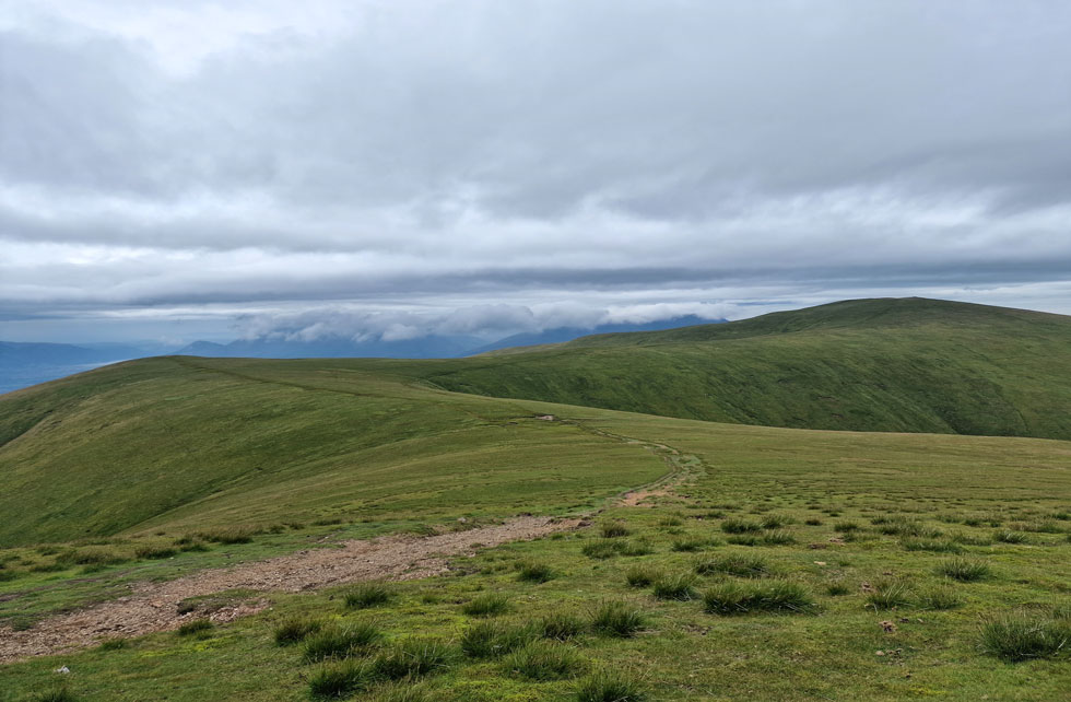
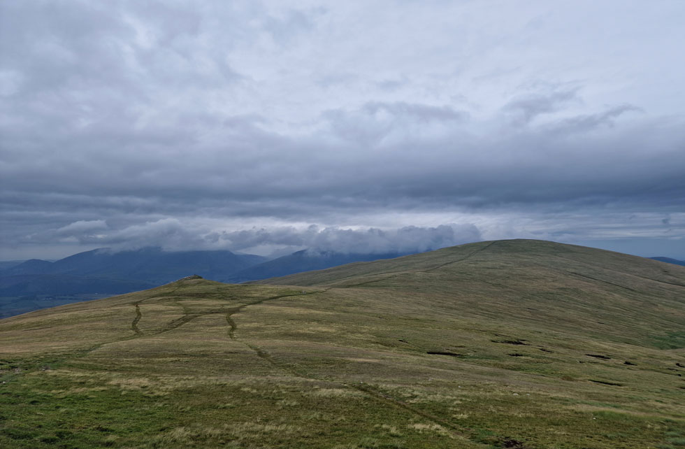
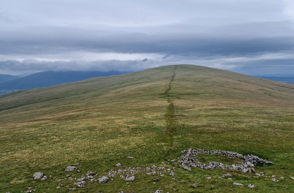
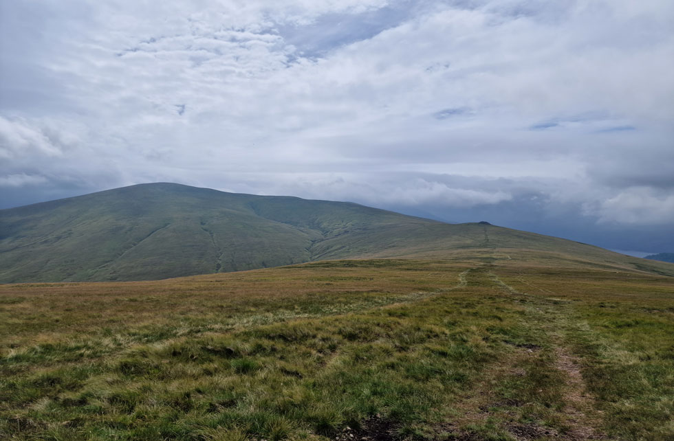
We persevered and soon found our stride again finding ourselves within the pack which had always been one step ahead of us. Over head the bastion of rock that forms Browncove Crags summit grew closer and soon we arrived at an area just below the summit which some years ago I named 'crampon rock' based purely because the path plateau's and its surrounding crags offers protection from the elements making it an ideal spot to add crampons during the Winter months.

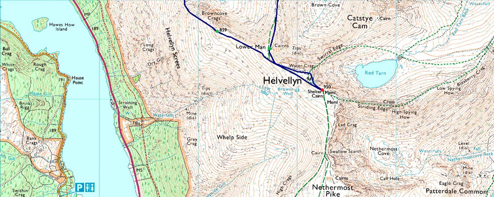
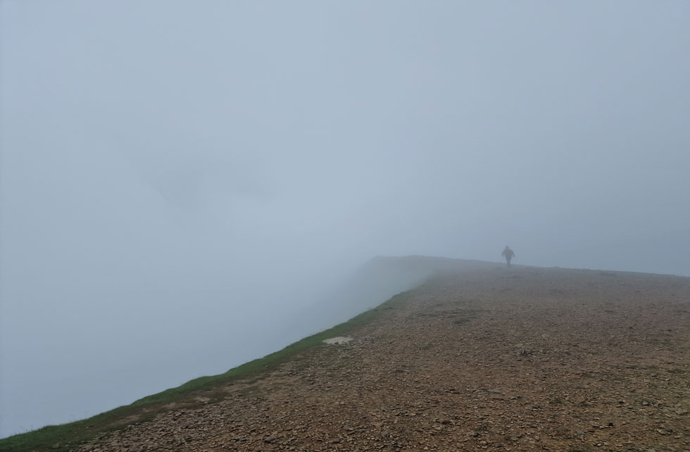
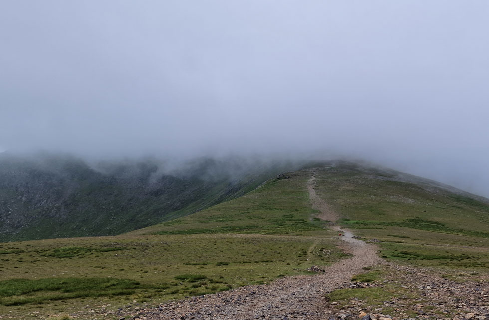
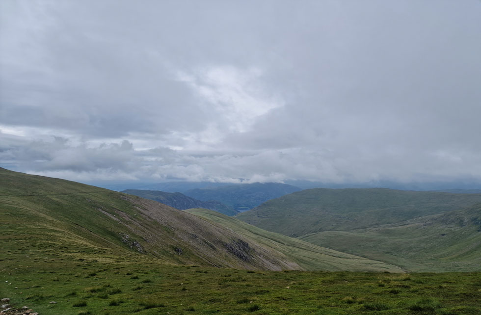
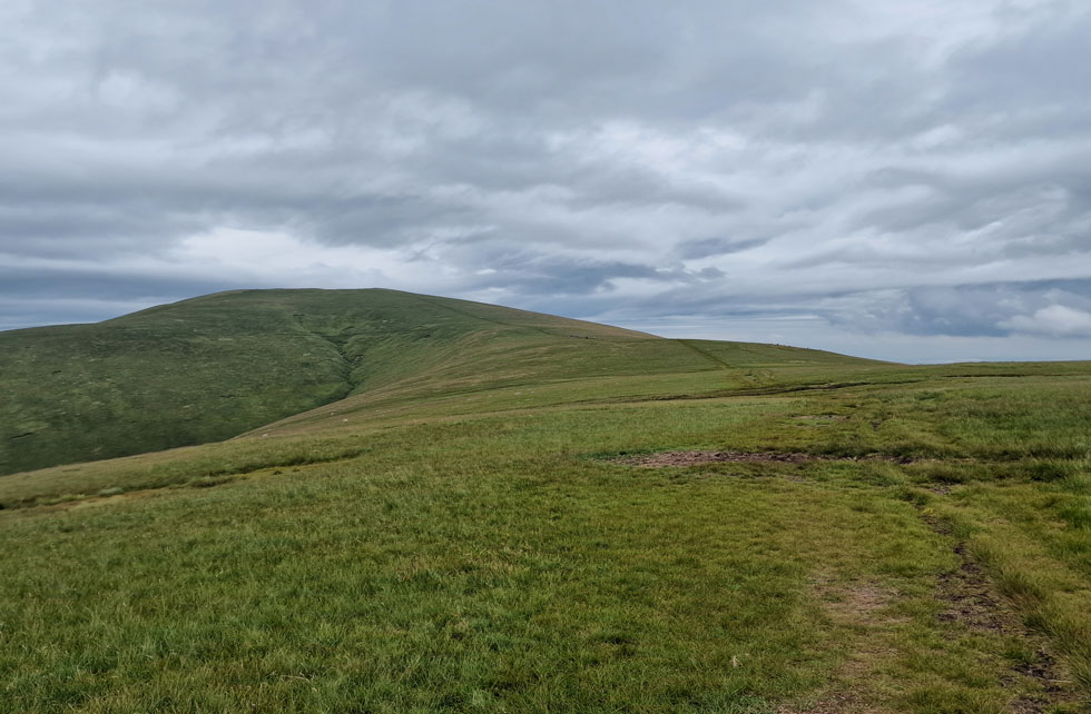
By now we were just below the cloud line but I also noticed that the cloud had started to gather below us too and with it, came an increase in wind. We continued to climb no more than a half a dozen steps by which time we could feel rain in the air - no sooner had we felt it we were in it. Within the same pack of walkers all downed packs more or less at the same time to add waterproof jackets, this was no passing shower it was here for good. One chap at the front of the pack added his waterproof jacket then must have thought 'sod this' and began his descent smiling as he passed us. The chap was obviously a novice but I admired his decision. He was a solo walker caught in a pack of fellow solo walkers who could have guided him to the summit but it wasn't to be, I quite liked that.

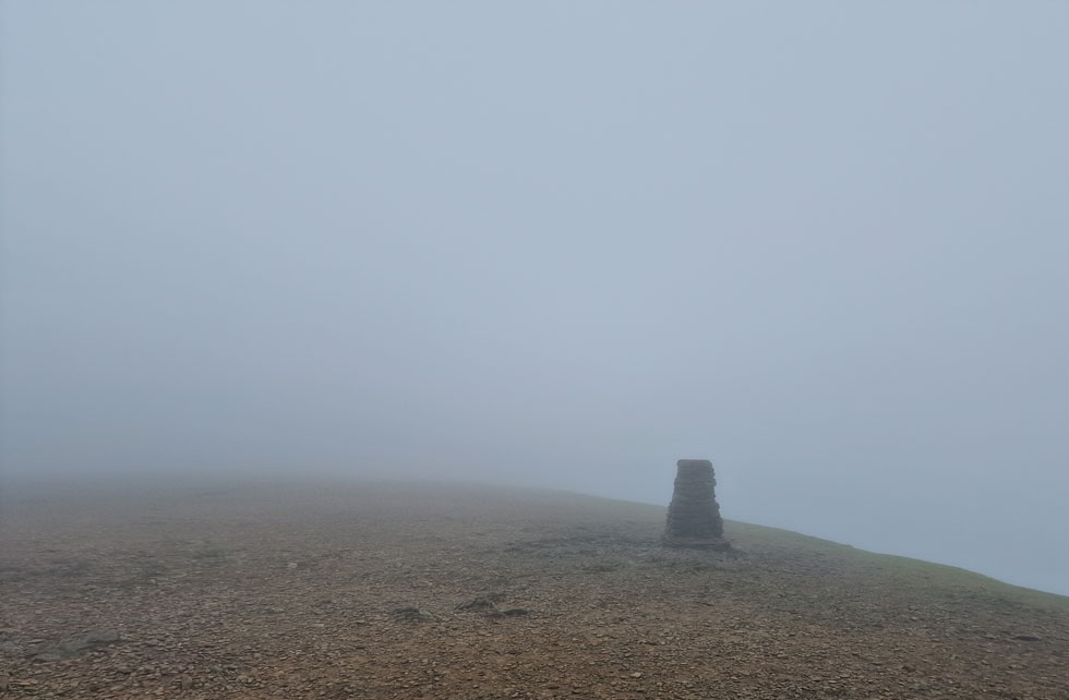
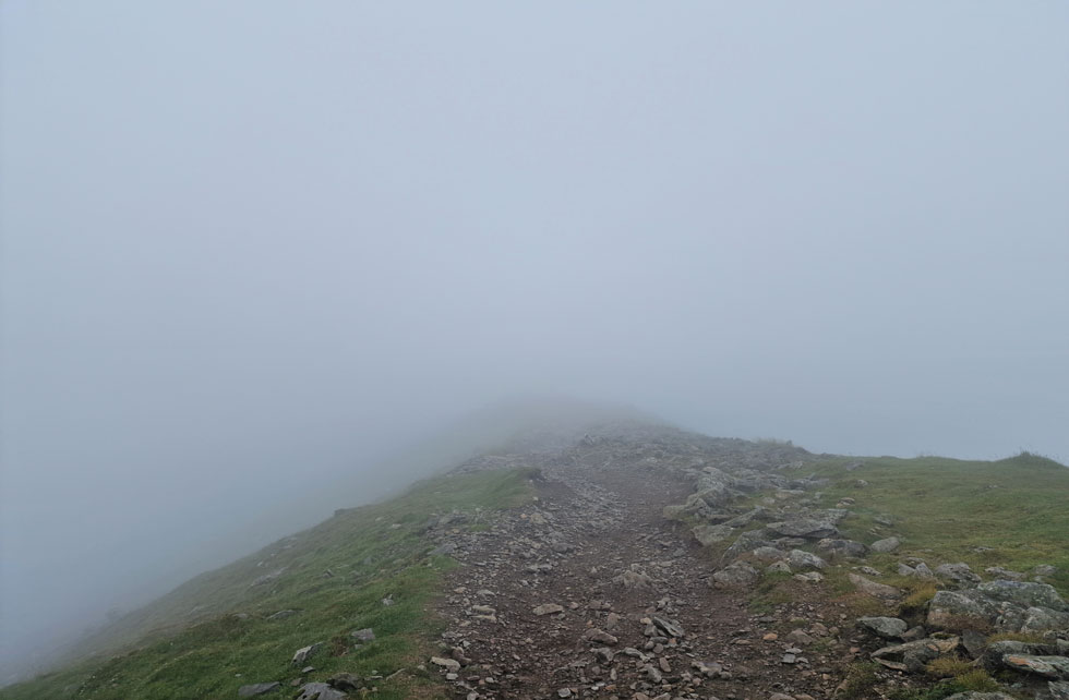
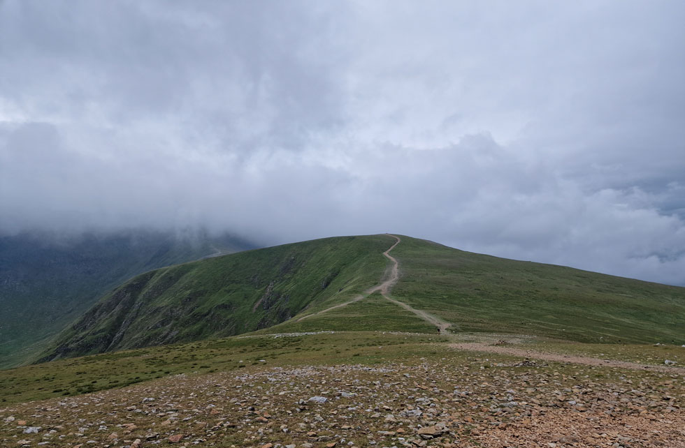
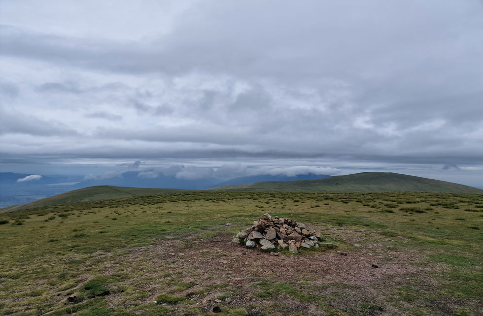
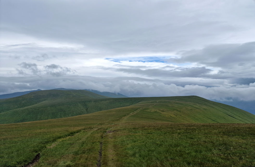
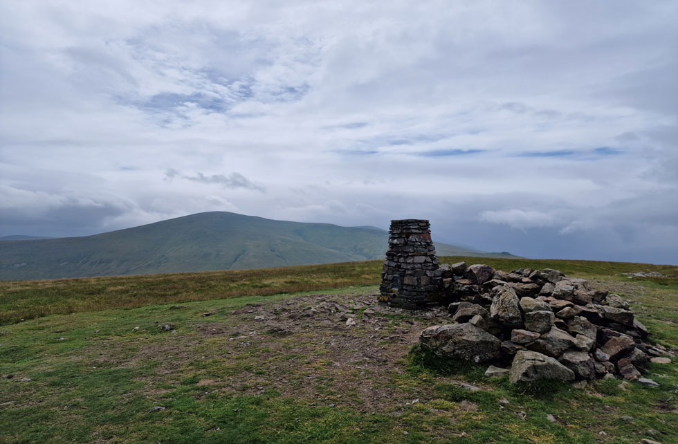
Rod and I broke away from the pack and shouldered Browncove Crags with only the solo walker wearing the red jacket ahead who seemed to discover his second wind, he was flying. By the time we reached Browncove Crags summit we had entered the cloud layer and the wind increased further. As always when here I peered down into the climbers gully but saw nothing but a few feet of rocks then an abyss of murk, Rod advised to be careful at the same time I started to back away. By now red jacket guy had disappeared into the cloud and the rest of the pack was still a good fifty yards behind us. We had the final push on Helvellyn to ourselves.


Helvellyn summit.

Lower Man was flanked to our left which we would of course summit next. Red jacket guy passed us as we crossed the head of Brown Cove who turned out to be a young lad. I never said owt but I was sure he was heading for Lower Man too. The guy up ahead just appeared from nowhere , perhaps he was ahead of the pack we had overtaken we didn't know. With limited views, high winds and a freezing windchill we made our way over to the trig point where we found the guy in the photo stood next to the trig.

The guy hung around taking selfies then moved off towards the summit cairn and Rod managed to get a photo of trig. We followed the chap and found him stood next to summit cairn just above the cross shelter, again he wasn't moving until he'd taken his selfies so this time Rod budged in front of him to get his shot.


Helvellyn summit Trig Point.

We crossed the deserted summit plateau which was when I took this photo of the trig point. By now my tanned hands had turned white and were starting to feel the effects of the windchill, this is July not March or October I thought but this is also Lakeland, unforgiving no matter the season.

I knew by the time descended Lower Man we would lose the windchill but damn I really could have done with downing my pack and adding a pair of gloves. Rod manoeuvered his thumbs into the thumb holes in his windproof while for me and my stubbornness, the descent of Lower Man couldn't come soon enough.


Descending Lower Man.

We passed a group of four who we assumed had just ascended Swirral Edge and seemed in good spirits laughing and taking photos from their mobiles before crossing the head of Brown Cove and beginning the slight pull on Lower Man. With Lower Man reached we didn't hang around just pausing for a quick photo before beginning our descent. We were right, the wind eased significantly taking with it the windchill. My hands had turned white and I couldn't feel my thumbs but was I going to add a pair of gloves? was I heckers like.

Through the cloud the first of many fell runners appeared, a solo woman in good spirits who passed with 'great day hey' we agreed before catching sight of a figure descending ahead of us. It was red jacket guy.


Looking back on Lower Man.
They dropped below the cloud as we crossed the col linking Lower Man with White Side. By now it had stopped raining and for the first time since the ascent of Browncove Crags we lowered our hoods but kept the cords drawn so the loose hood wasn't flapping about in the high winds.

The cloud continued to part.
Revealing two walkers stood on Catstye Cam summit.

Looking back on Lower Man...
...with Brown Cove seen left.

Raise ahead with Stybarrow Dodd and Great Dodd in the distance.

Despite the poor light dropping below the cloud was a defining moment, one where a camera couldn't do the views justice. Up ahead red jacket guy was making his ascent on White Side but span around not far from the summit shoulder to take photos before beginning to descend. "That's odd" we both said.

We wondered with the cloud lifting had he realised he wasn't where he was meant to be? We passed and not wanting to make light of his descent and the possibility of him being lost. Had he have been lost I'm sure he would have asked for help, but he didn't and we left it there.


Looking over Kepple Cove towards Stang, Birkhouse Moor and Sheffield Pike.
You can just about make out the top of the Kepple Cove path seen left with the familar zigzags seen lower right.

Views back towards White Side.
With a distant Lower Man still in cloud.

Approaching Raise summit.
We crossed the col and began the ascent on Raise where we were overtaken by a fell runner and a very fit Jack Russell keeping up with him. That's Stybarrow Dodd seen left with Great Dodd beyond.

Raise summit.
The more we ascended the stronger the wind grew which at times had the potential to knock you off balance which was the case at Raise summit. Despite this we knew that once we would descend the winds would ease and normality returned which had been the case since leaving Helvellyn.

View over the top of Sticks Pass towards Stybarrow Dodd, Watson's Dodd and Great Dodd from Raise.
With the southerly wind on our backs it would seem we were making great time and to add to that we would soon be leaving rock behind in favour of smooth grassy paths once the Dodds were reached.

Looking back over the top of Sticks Pass towards Raise.
We agreed that the ascent of Stybarrow Dodd was the last of the 'big' ascents followed by the gentler inclines of Great Dodd and Clough Head although towards the end of the walk those gentle inclines didn't feel so gentle.

Watson's Dodd and Great Dodd from Stybarrow Dodd summit.

The ascent of Stybarrow Dodd didn't feel so bad but would probably return to haunt us an hour later. Great Dodd was looking quite busy with walkers at the summit and in descent too. We left Stybarrow Dodd after reminding Rod about the boundary stone that used to sit upright with the summit cairn "I have a photo of it somewhere" I explained to Rod.


Watson's Dodd and Great Dodd.
Descending the shoulder of Stybarrow Dodd we passed a family then a younger group of walkers all of whom made no attempt of making their way towards the summit cairn instead keeping to the path which skirted below. We just didn't get it.

Great Dodd from Watson's Dodd.
I feel ashamed to say it's been an incredible four years since I was last stood on Watson's Dodd summit. So much to do in such little time.

Watson's Dodd and Stybarrow Dodd from Great Dodd.
We passed another large group who instead of summiting Watson's Dodd forked left and completely by-passed the summit altogether followed by two wild campers lugging the largest packs I'd seen who did in fact summit Watson's Dodd. Adding to the numbers we were also impressed to see a group of walkers ascending Great Dodd via its west ridge named (St Johns Common) on the map who must have started their ascent from the Castle Rock / Lad Knott area below. One walker was leading the group with the rest in tow, it looked a tiring pathless ascent but good on them for giving it a go.

Clouds gathering from Great Dodd summit.
It didn't go unnoticed that despite the wind we had escaped the rain up until now with the exception of the rain we had encountered during our ascent on Helvellyn. It really is starting to feel like we're in the hands of the gods now.

Calfhow Pike and Clough Head.
No ascent of Clough Head would be complete withut a visit to Calfhow Pike, a landmark so prominent you can even see it from the summit of Scafell PIke.

Man down!
I'm not sure how it got in my left boot but this stone somehow wedged itself right under my heel so off came the boot and out came the little blighter.

Great Dodd from Calfhow Pike summit.
A combination of wind and loose footing almost saw Rod go over while at Calfhow Pike summit, the wind really is gathering in strength despite the loss of height.

Clough Head from Calfhow Pike summit.
Last push on todays final summit Clough Head.

Great Dodd and Calfhow Pike
If we were to believe the forecast it should be raining cats and dogs right about now, admittedly there are spots of rain in the air but the sun is trying to push through too.

Great Dodd from Clough Head summit.

We followed, but didn't quite catch up a couple who had left Calfhow Pike minutes before we arrived and it looked like we were going to catch them up when they stopped and rested during their ascent on Clough Head but pushed on as we approached.

We took in the ascent at good pace calfs slightly burning as we shouldered the summit then knocked it down a gear to hydrate as I approached the trig point.


Red Screes on Clough Head.
We knew that rain was imminent so we didn't hang around the summit for too long before beginning our descent via the grassy trod which the couple who had just left the summit were also descending.


High Rigg from the Wanthwaite end of the Old Coach Road.

Those spots of rain started to fall as drizzle and before it got any heavier we notched up a gear and quickened our descent taking just thirty three minutes from trig point to Coach Road. I'm not sure what Rod was taking but he was descending like a billy goat and at times I struggled to keep up which goes back to Rod's trail running days "let your knees do the work Paul" Passing the couple like they were stood still the chap remarked on our walking poles but it was a mix of technique and speed which helped with the rapid decent. Drizzle curtained across St Johns-in-the-Vale and at times High Rigg and Tewit Tarn were only just visible. We made it to the intake wall and before crossing the stile I kicked both my feet into the backs of my boots to ease the pressure from the descent "jeez I feel I've done ten miles now" I said "So do my knees" Rod replied.

We crossed the rickety style then began the final descent through woodland alongside Hilltop Quarries, a descent slowed by the steepness underfoot and wet pine needles. Following the quarry track we descended again until a second familiar style was sighted which lead onto the Old Coach Road. Rod crossed the style first swiftly followed by myself. The rain had stopped but it had been heavy enough to dampen the fronts of our shorts and jackets. The Old Coach Road passes Hilltop Farm before reaching the road from where Blencathra, still in cloud filled the vista.

We arrived at Rod's car and Rod began his kit down while at the same time stuffing a chicken wrap down. Some ten minutes later we were joined by the couple we'd over taken during our descent of Clough Head who had parked behind Rod's car and pleasantries were exchanged again. We drove back to Swirls while I took in the view of Bam Crag and Sandbed Gill "I must get in there" I told Rod. With the lay-by reached Rod kicked me out not before a hearty handshake. Rod span his car around with a sound of the horn then drove back towards the A66 as the rain started to fall again. I used my tailgate as I shelter hanging wet gear up where I could ready for the drive home. The car wreaked of damp and sweat but as the rain turned heavier and the cloud dropped I too stuffed down a chicken tikka wrap while driving over Dunmail Raise by which time the cloud was so low it was only just clearing the roof tops.


Back to top