|
Sour Howes & Sallows from Dubbs Road |
 |
 |
2nd June 2022 |
 |
|
Plans change and as great as this walk was tonight I was meant to be meeting up with David and Rod to wild camp on Harrup Pike but an overnight band of rain meant it wasn't to be, the good news is the fells aren't going anywhere and the wild camp will come off hopefully sometime soon.
If your up to date with the website you might know I visited Southport last night to watch the sunset and only got home late, I was umming and arring whether I should walk today because I needed to catch up on some rest so I didn't set my alarm clock on purpose and woke to a beautiful blue sky morning around 08:30am.
With no plans to walk the lure of seeing that blue sky between the bedroom blinds got the better of me and within half an hour I was heading north my only plan being that I was going to leave the M6 at Jct 36 and head for the Kirkstone Pass, park and make it up as I went along, turns out I didn't need to drive so far into Lakeland after spotting parking spaces at the bottom of Dubbs Road, now all I needed to do was to come up with a route. |
|
| Wainwright Guide Book Two |
 |
| The Far Eastern Fells |
| For most walkers, the fells, proper in those region start at Garburn Pass and rise to the north, but there are two hills, twins almost, immediately to the south of the Pass worth a mention although these are strictly not walkers territory. |
 |
|
|
|
|
| |
|
Overview |
|
|
| Ascent: |
1,329 Feet - 405 Metres |
| Wainwrights: |
2, Sour Howes - Sallows |
| Weather: |
Dry Warm & Sunny. Highs of 19°C Lows of 15°C |
| Parking: |
Parking Spaces, Dubbs Road |
| Area: |
Far Eastern |
| Miles: |
7.2 |
| Walking With: |
On My Own |
| Ordnance Survey: |
OL5 |
| Time Taken: |
3 Hours 15 Minutes |
| Route: |
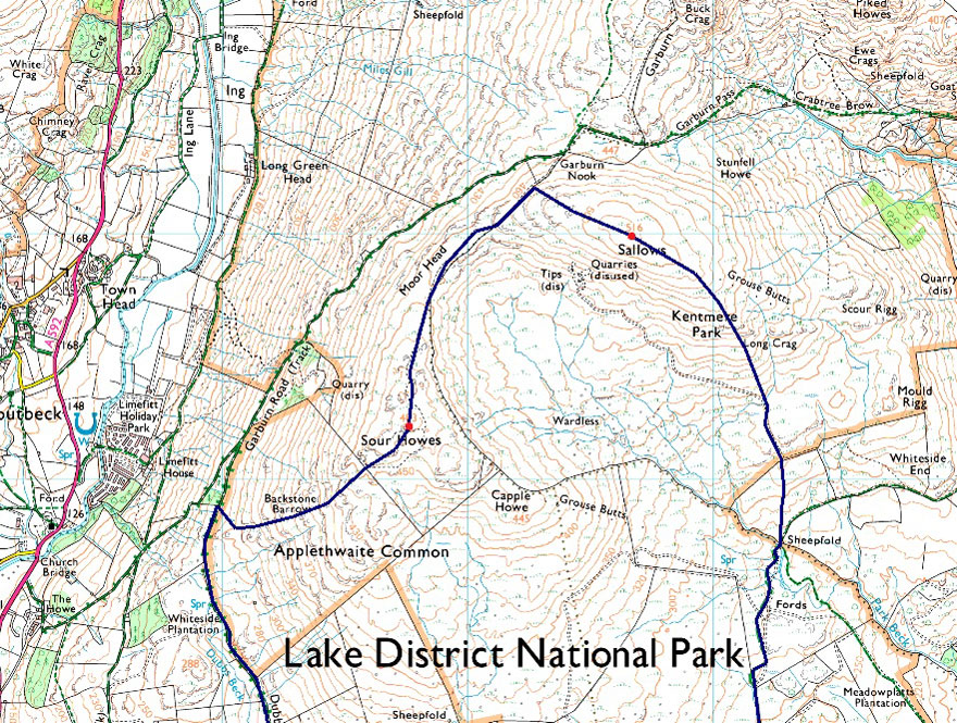
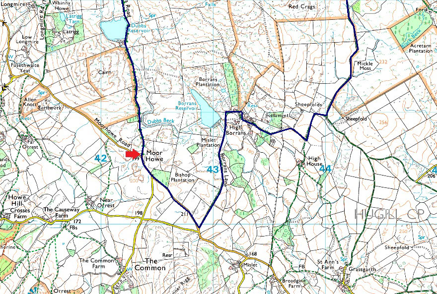
Dubbs Road – Dubbs Reservoir – Garburn Pass – Backstone Barrow – Sour Howes – Moor Head – Sallows – Long Crag – Kentmere/Ings Bridleway – Mickle Moss – High Borrans – Borrans Lane – Moorhowe Road - Dubbs Road |
|
| |
|
Parking Details and Map |
|
|
| Nearest Post Code: |
LA23 1JT |
| Grid Reference: |
NY 423 600 |
| Notes: |
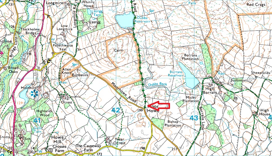
Found at the junction of Moorhowe Road and the bottom of Dubbs Road the parking spaces here have always been a popular place to park and take a wander around this beautiful area of Lakeland. Close by is Dubbs Reservoir, Sour Howes and Sallows and not forgetting Orrest Head. |
|
| |
|
Map and Photo Gallery |
|
|
  |
| |
| |
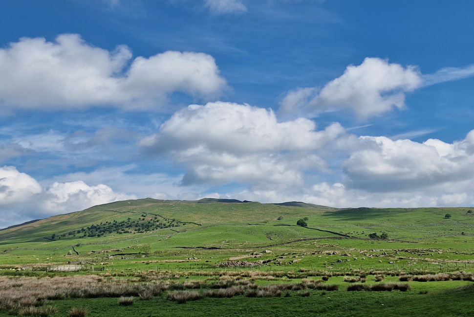 |
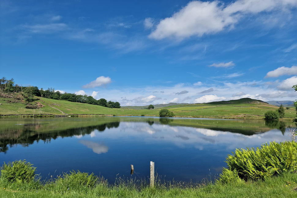
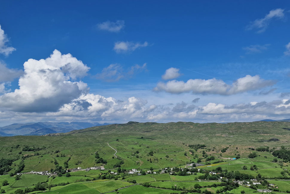
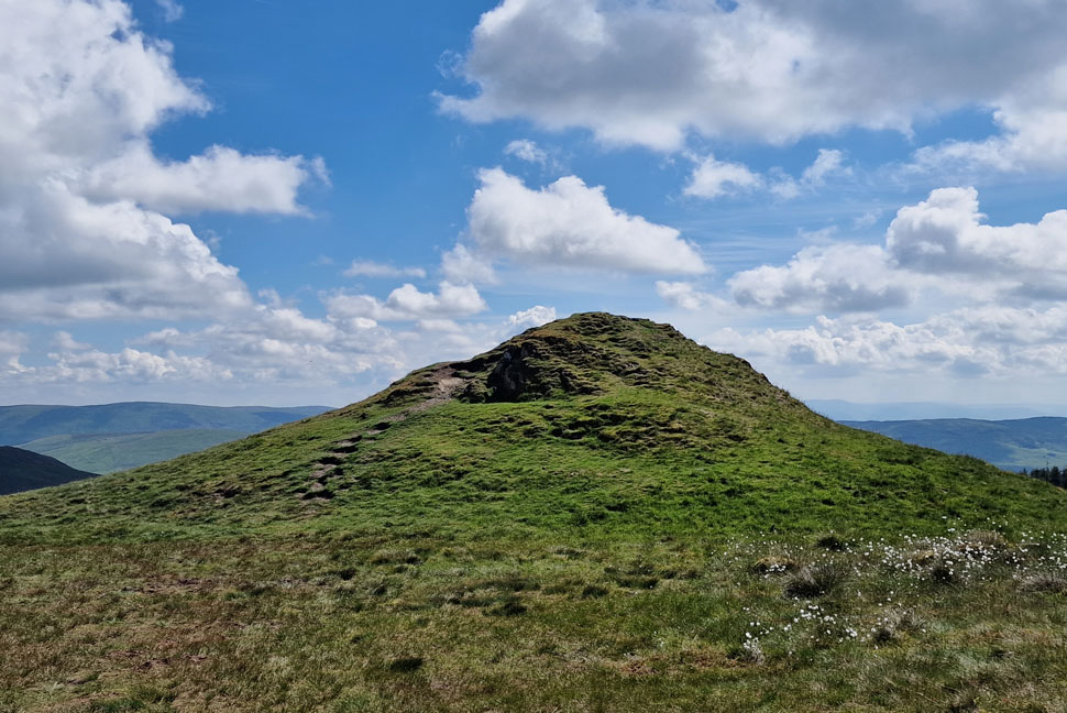
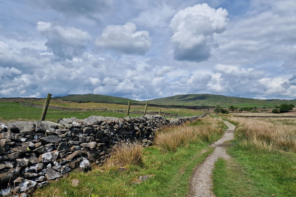
| Sour Howes from Dubbs Road 10:30am 15°C |
It wasn't the best start having to queue to leave the M6 at Jct 36 all the while my pulse was racing "if its this busy here there's no way I'm going to get as far as Ambleside without hitting more holiday traffic" but I had no one to blame for my late arrival except myself. The queue slowly left the motorway and up onto the slip road where I joined the A590 behind a steady line of traffic. During my drive north it had always been the plan to drive over the Moorehowe Road from Ings to Troutbeck but the chances of being able to park at Dubbs Road seemed slim. Much to my surprise there was only two other cars parked up when I arrived and I was able to park easily before opening my Anquett Map App on my phone to see where my walk might take me.
I'd remembered a route I walked back in January 2016 which included the descent of Sallows on the Kentmere which would then link up with the Kentmere to Ings Bridleway and after a little careful navigation returns to Moorehowe Road via the High Borrans estate. Although over six years ago now I remembered it being an enjoyable walk away from the crowds which was just what I needed on the first Bank Holiday of the Queens Jubilee when Lakeland was expecting a high number of visitors.
Having kitted up I was just about to set off when another car pulled up and the occupant, a solo guy waved a ;morning' over the roofs of the cars "if he's the only person Im going to see today I'll be lucky I thow't" but I knew even on the lonely humps and bumps of the Far Eastern fells the chances of that were nil. |
 |
| Passing Dubbs Reservoir. |
It was a beautiful warm morning and up until reaching Dubbs Reservoir I hadn't seen anyone other than the chap back at the cars. That all changed when two off road bikes sped towards me and broke the silence of the morning. They both slowed down and acknowledged me with a nod but as the second bike passed me he hit the edge of a puddle resulting in splashing my legs and the front of my shorts, I'm sure it was an accident but I got soaked non the less.
Thankfully the warm sun made easy work of drying my shorts out and no sooner had I looked down I was almost dried out. |
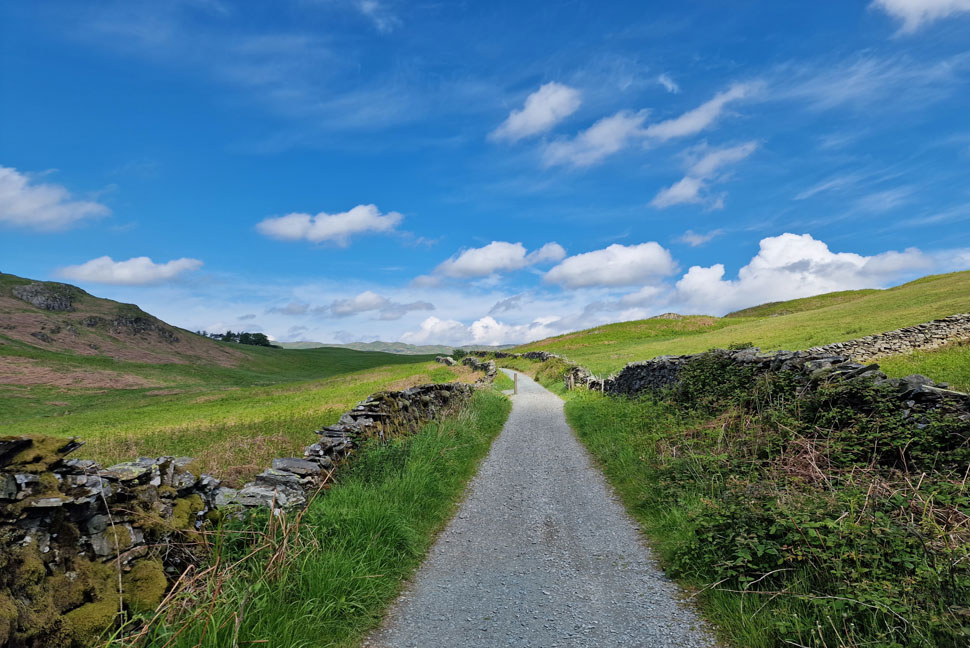 |
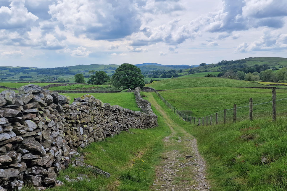
| Dubbs Road. |
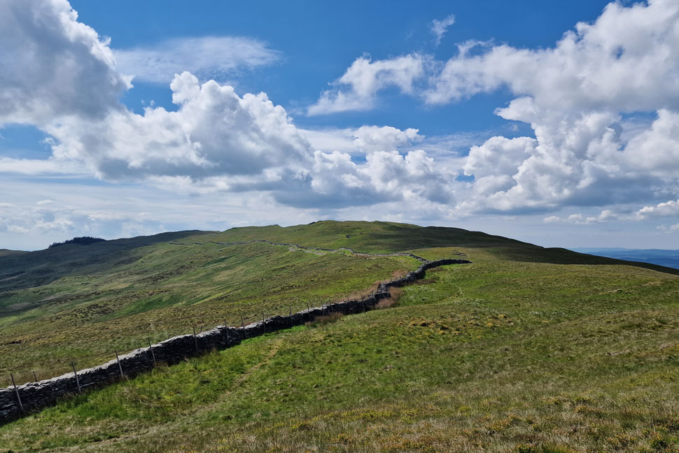
| My route of ascent onto Sour Howes will be via Backstone Barrow, a collection of mini rock spurs where a popular grass path ascends all the way to the summit. |
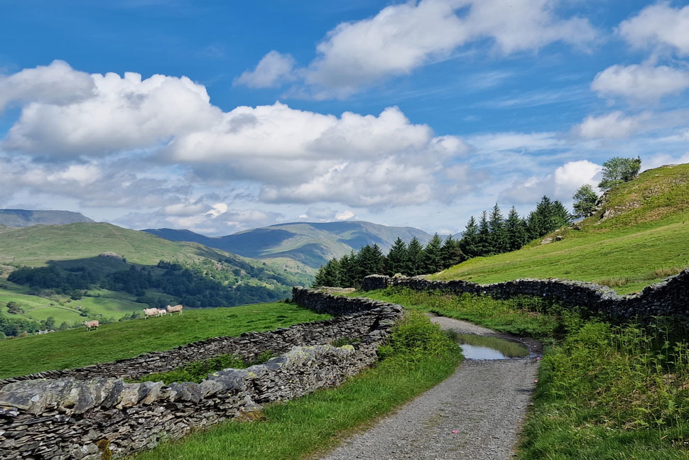 |
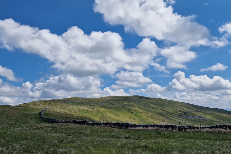
| It's approximately here that Dubbs Road meets the Garburn Road/Pass. |
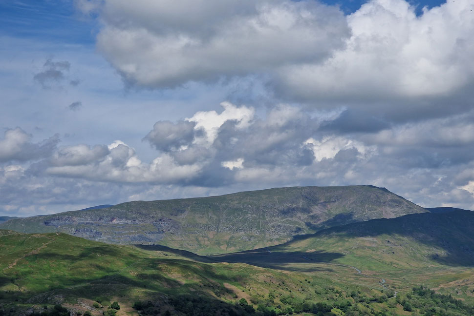
| This has to be one of Lakelands most scenic views, here looking towards Baystones, Idle Hill, Red Screes, St Ravens Edge, Woundale and Caudale Moor. It's also here that I leave Dubbs Road for my ascent on Sour Howes. |
 |
| Backstone Barrow. |
| No sooner had I closed the gate did the chap who I'd seen back at the cars appear behind me who stopped to check his map before continung towards Garburn Pass. |
 |
| Views over Troutbeck towards Wansfell and Baystones. |
| The prominent track seen foreground is that of Nanny Lane, a popular ascent/descent route from the village of Troutbeck below. |
 |
| A distant Windermere taken during my ascent. |
The going was steep and much steeper than I'd remembered. I hit the hill hard only stopping for photo opportunities of which there seemed to be many. During one particular stop I was amazed to find not just the chap from the car park below me but a steady stream of walkers in two and three's numbering to ten all joining the ascent, flippin eck I thow't there's no escaping the crowds today.
I push on. |
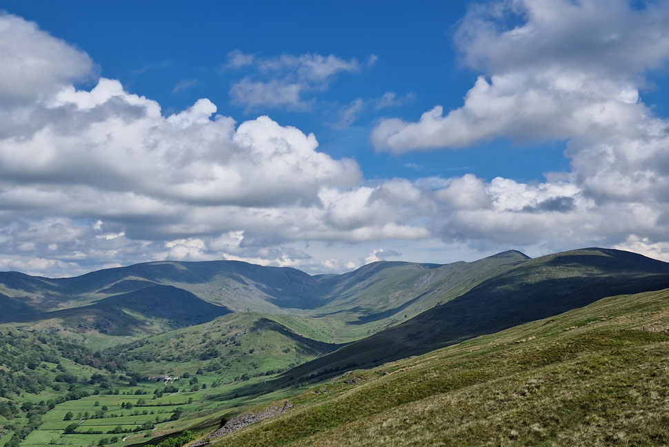 |
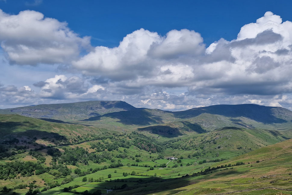
| Views into the Troutbeck Valley. |
| Here looking towards Woundale, Troutbeck Tounge, Caudale Moor, Stony Cove Pike, Thornthwaite Crag, Froswick, III Bell and Yoke. |
 |
| Looking North West... |
| ...we have Idle Hill, Snarker Pike, Red Screes, St Ravens Edge, Caudale Moor, Stony Cove Pike and Troutbeck Tongue. |
 |
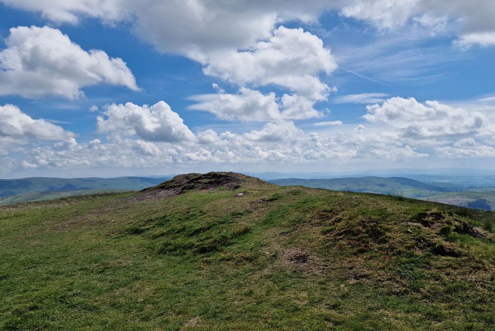
| Sour Howes summit. |
| With the crowds behind me I passed two young girls who were taking a rest besides the path, jeeez including myself that's thirteen on the hill, I wondered if Blencathra or Helvellyn was this busy. |
 |
| Sallows from Moor Head. |
| I'd pushed myself quite hard and in the process I'd given myself a stitch. I could have pushed on but seeing as it was 11:30am now I thought why not treat myself to an early lunch. |
 |
| Lunch with a view. |
| I left the path after sighting a cluster of rock which over looked the Garburn Pass below. Unbeknown to the dozens of walkers walking along it I was perched above taking in the view. |
 |
| Looking into the heart of the Troutbeck Valley. |
| The twin wall below is that of the Garburn Pass. |
 |
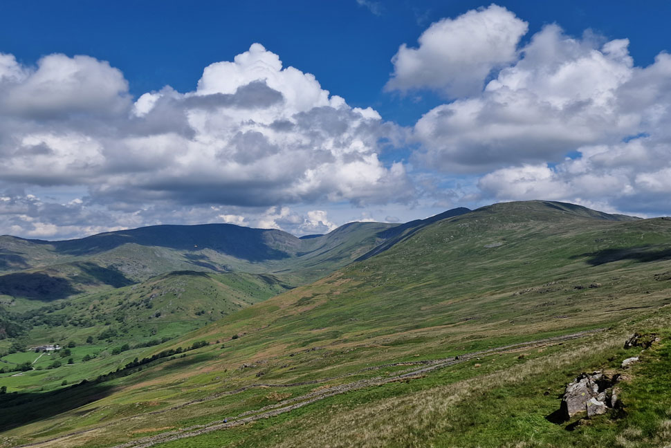
| Snarker Pike and Red Screes close up. |
| With Idle Hill seen left, Kirkstone Pass seen centre and Woundale towards the right. |
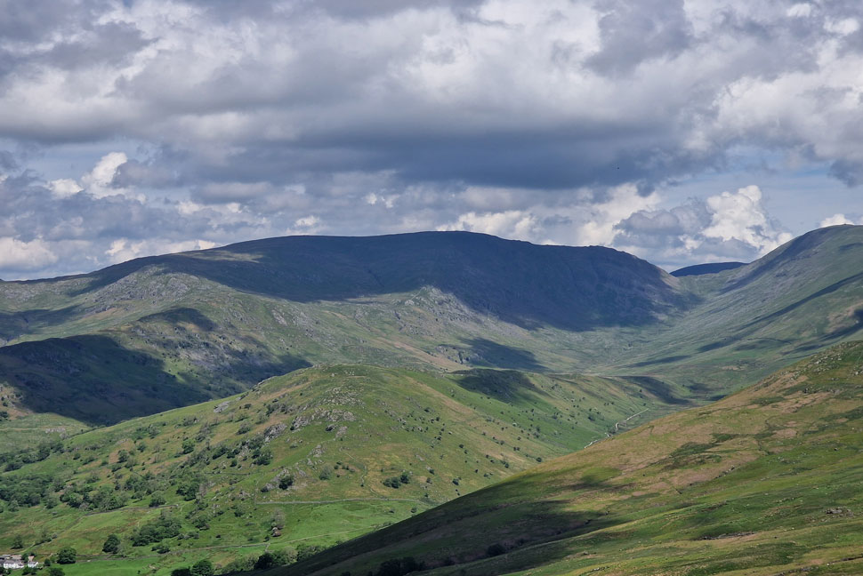 |
| Woundale, Caudale Moor, Stony Cove Pike, Thresthwaite Mouth and Thornthwaite Crag. |
| Not forgetting Troutbeck Tongue seen foreground. |
 |
| It's time to leave... |
| ...but with views this good it's proving difficult! |
 |
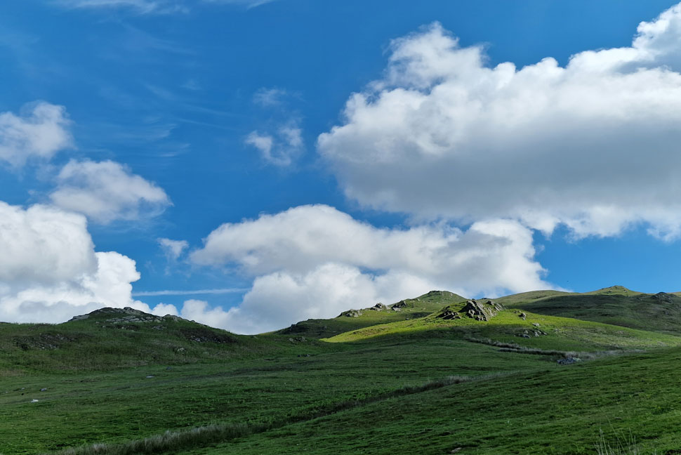
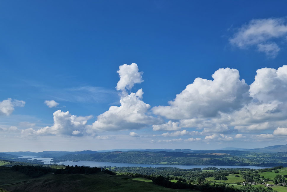
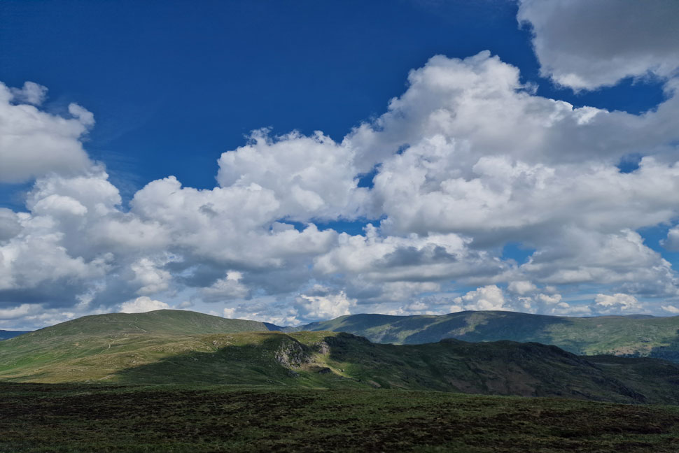
| The wider view. |
| |
 |
| I return to Moor Head. |
| And take in the view back towards Sour Howes. During the time it had taken me to eat a quick butty only two people had passed who were now on route to Sallows summit. |
 |
| Sallows summit. |
| |
 |
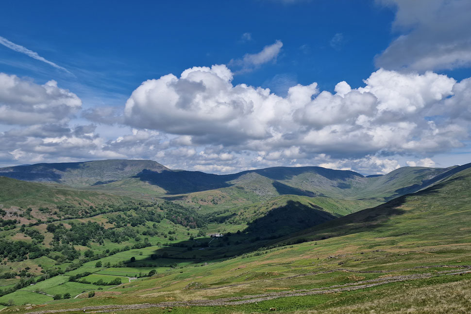
| From the summit of Sallows. |
| I took this photo looking beyond Pikes Crag towards Yoke, the top of Nan Bield Pass, Harter Fell (Mardale) and Kentmere Pike. |
 |
| Descending Sallows via Long Crag. |
| With the village of Kentmere and Green Quarter below, Grey Crag, Ancrow Brow and Capplebarrow (Bannisdale) beyond. |
 |
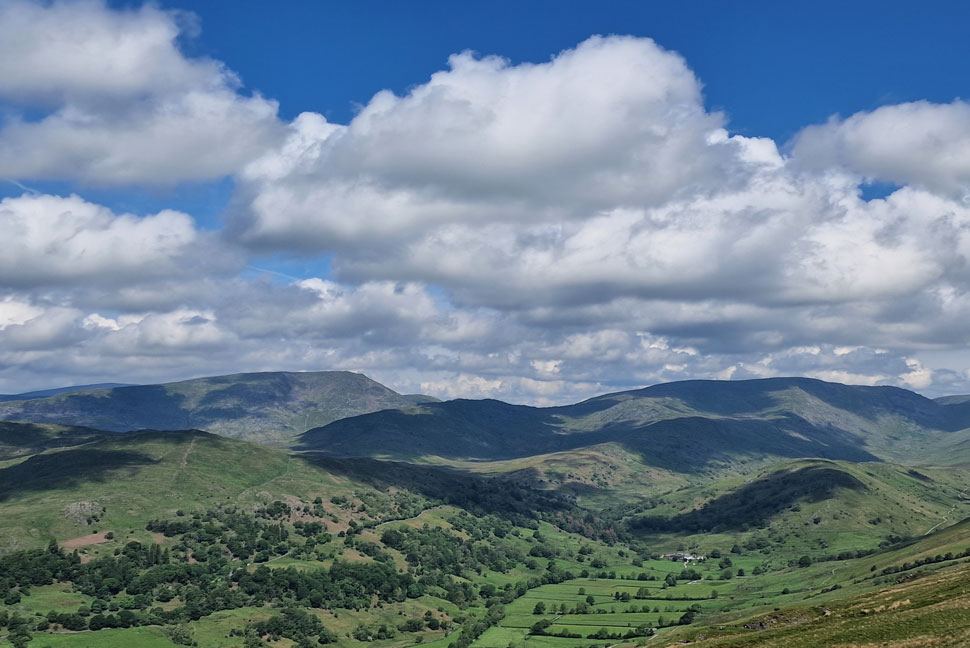
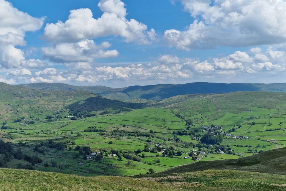
| Looking back on Sour Howes and Sallows. |
| The descent of Sallows onto the Kentmere/Ings Bridleway isn't strictly straight forward as there are no paths marked on any map. That said there is a path to follow which passes Scour Rigg. I however, left this path and picked up the quarry path below Long Crag which then lead me towards a stream which goes onto form Park Beck. After crossing the stream I keep fork right towards Mickle Moss, heading left and fork would lead you into Kentmere. |
 |
| Heading for High Borrans. |
| The Bridleway comes to an at a very well sign posted junction, even though it was six years ago I'd remembered to turn right sign posted High House then left sign posted High Borrans. |
 |
| Entering High Borrans. |
| With High House flanked to the left I joined the road through High Borrans. I'm not quite sure what the house is seen right but I wouldn't mind standing in front of its fire place on a cold winters night...just look at the size of that chimney! |
 |
| Moorhowe Road. |
I passed through High Borrans while admiring the jubilee bunting that some of the cottages and even farm buildings had put up before sighting Borrans Reservoir (private) over a stone wall to my right. Now on High Borrans Lane Snarker Pike emerges as does Red Screes through gaps in the hedges which grew wildly along the side of the lane. The road dipped then rose again steadily giving my walking poles a quick work out before joining Moorehowe Road where I'm passed by the odd car and many a cyclist peddling in both directions.
Beyond the fields glimpses of Orrest Head appear and remind me when I included its summit with Sour Howes and Sallows a long time ago now. I'm very fond on Moorehowe Road which provides distant views towards the Coniston and Langdale fells, it's also the road I use if ever I'm travelling to Hartsop or Patterdale and or the road I pull up on if I've ever any sandwiches left during my drive home. |
|
| |
| Back to top |
 |
|