Bowderdale, The Calf & West Fell

28th May 2022

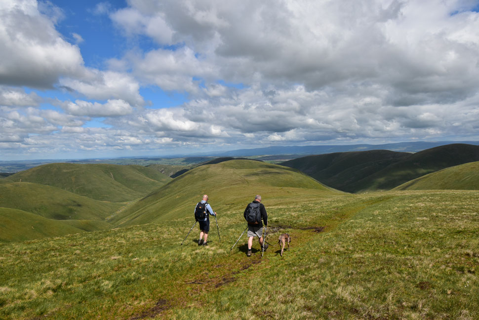
The origins of this walk stem back to pre-covid times along with a few other walks that David, Rod and I are working through. After covid and once we were allowed back on the fells we each walked through our own personal 'to do list' which we'd compiled during lock down.

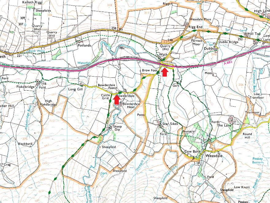
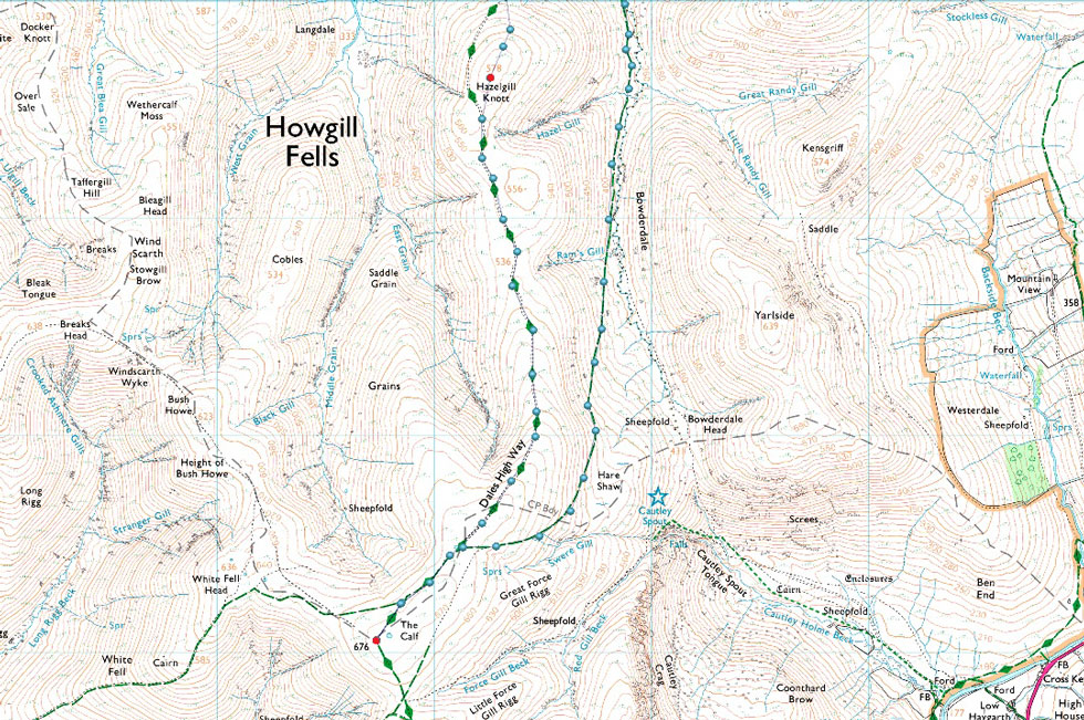
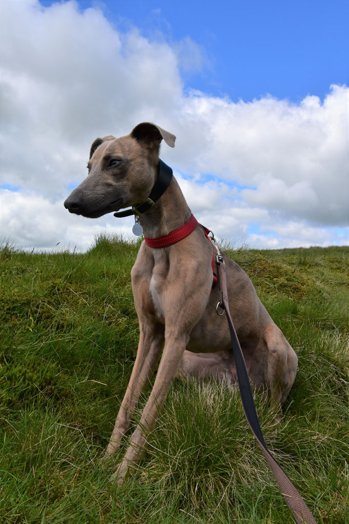
The Calf via Bowderdale cropped up again during the Winter of 2021/22 and it was agreed that once Spring arrived we'd finally tick it off the trio's own 'to do list'. Despite Rod having completed all the Howgill Fells by following Wainwrights footsteps it's been eight years since I last set foot on the Howgills and for David, today's walk was a first on the Howgills.

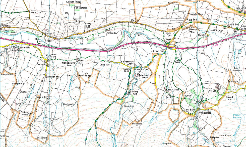
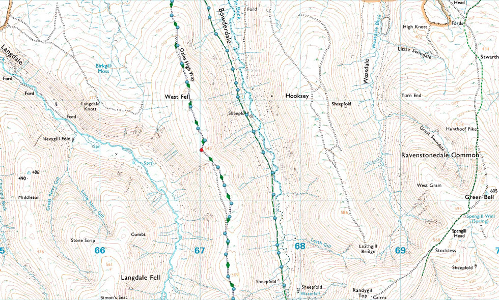
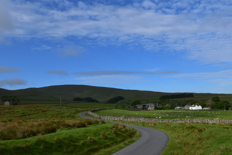
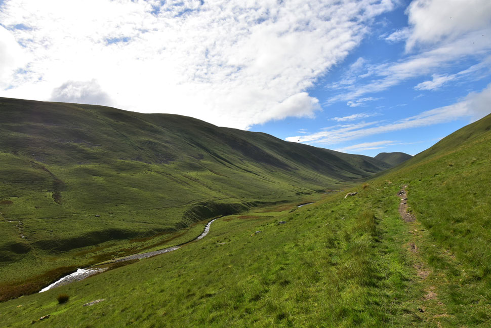
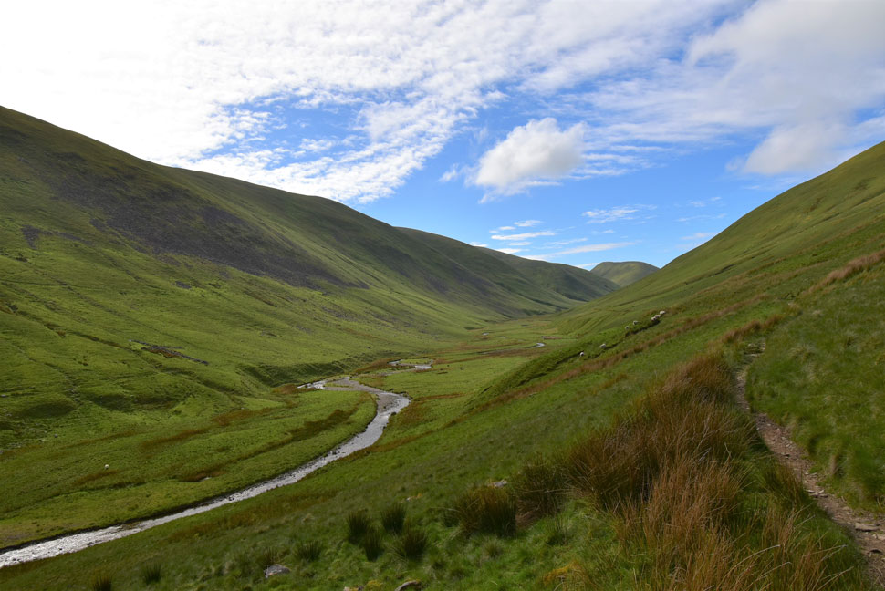
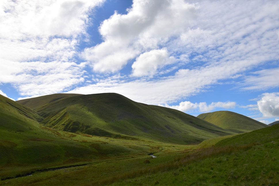
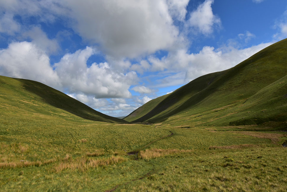
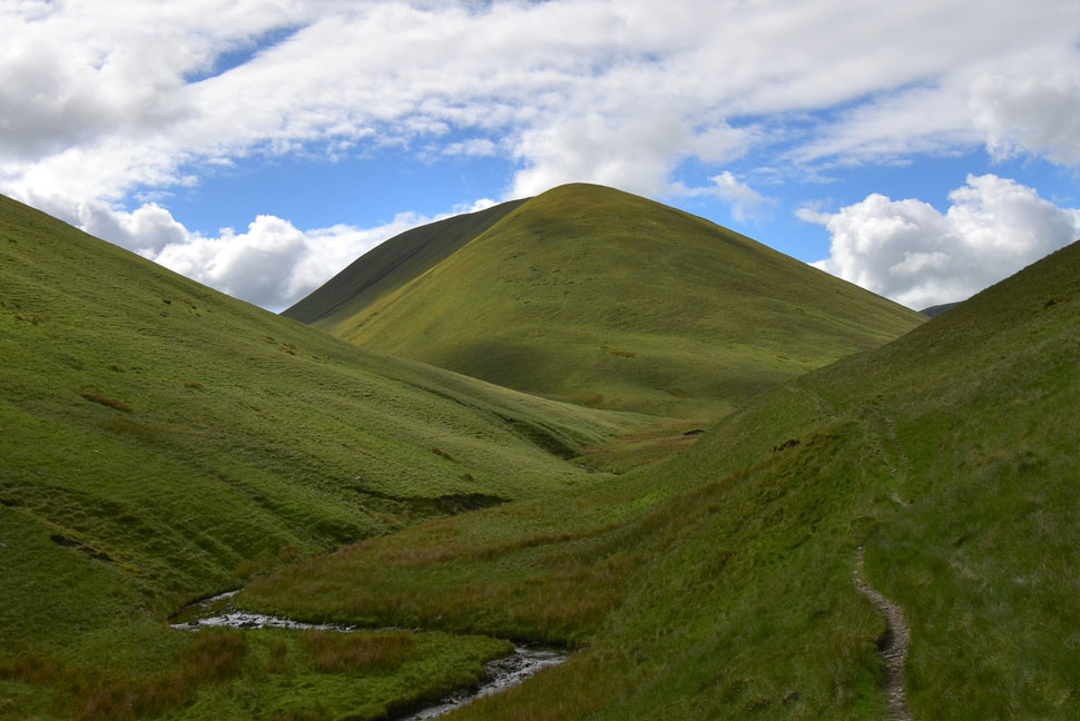
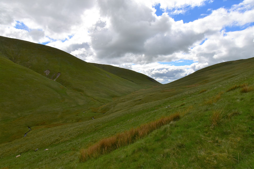
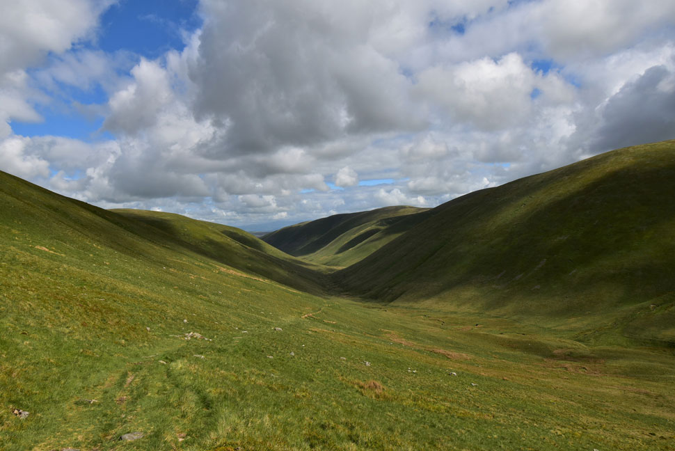
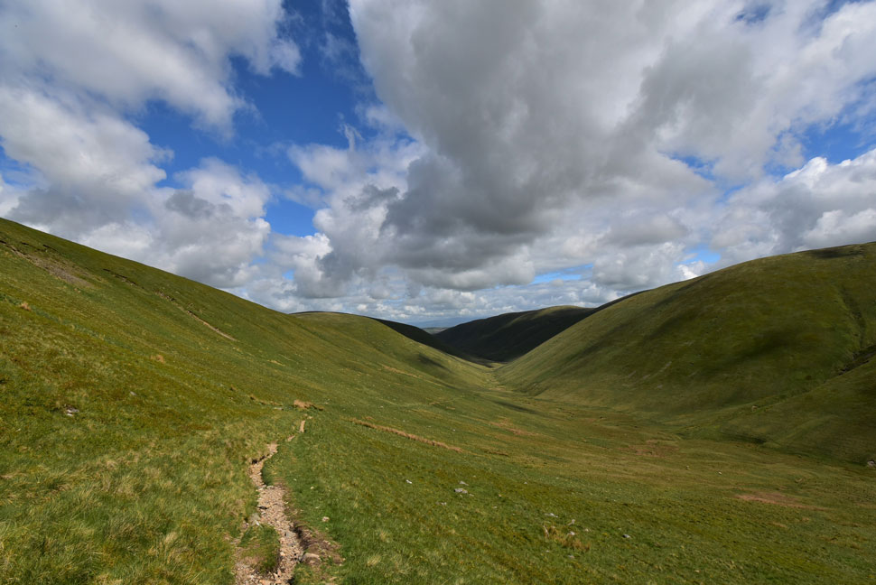
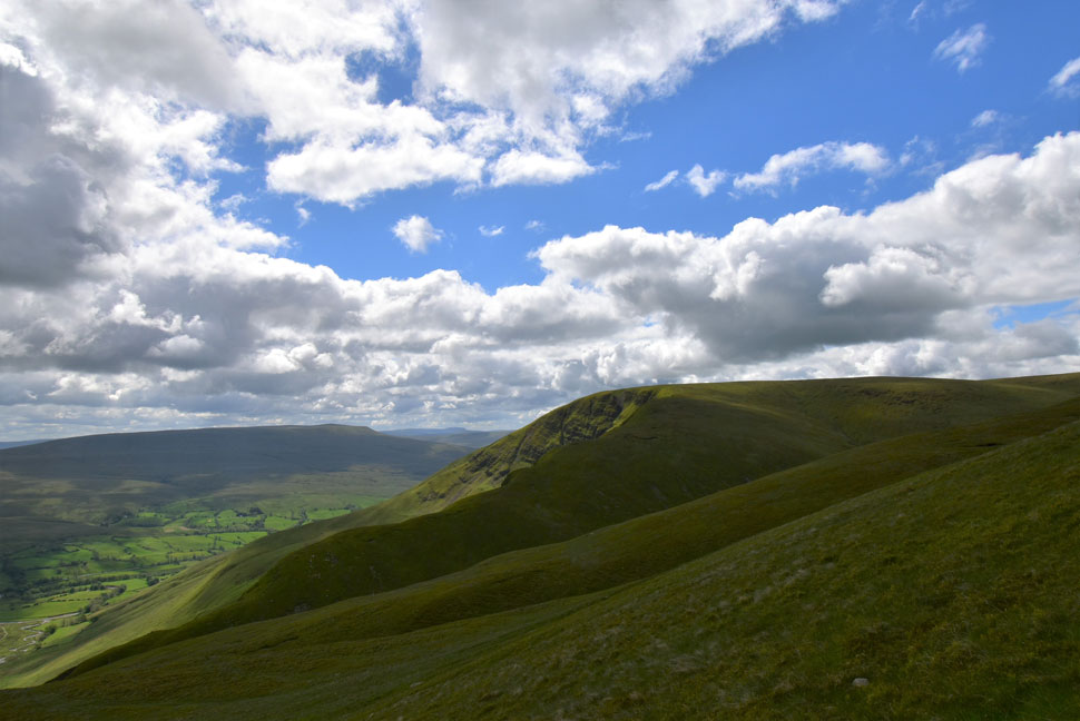
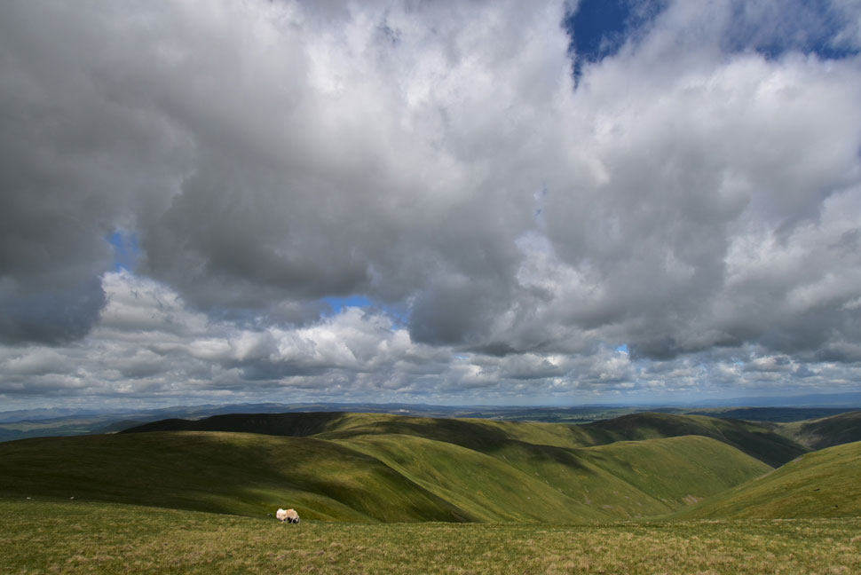
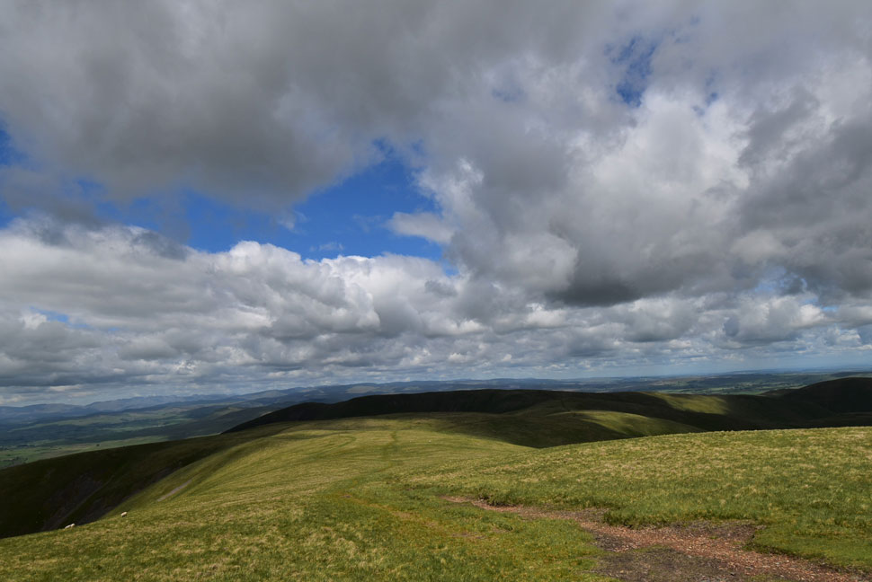
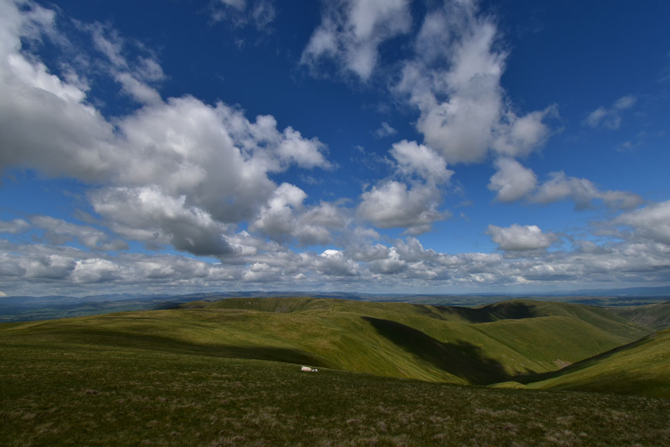
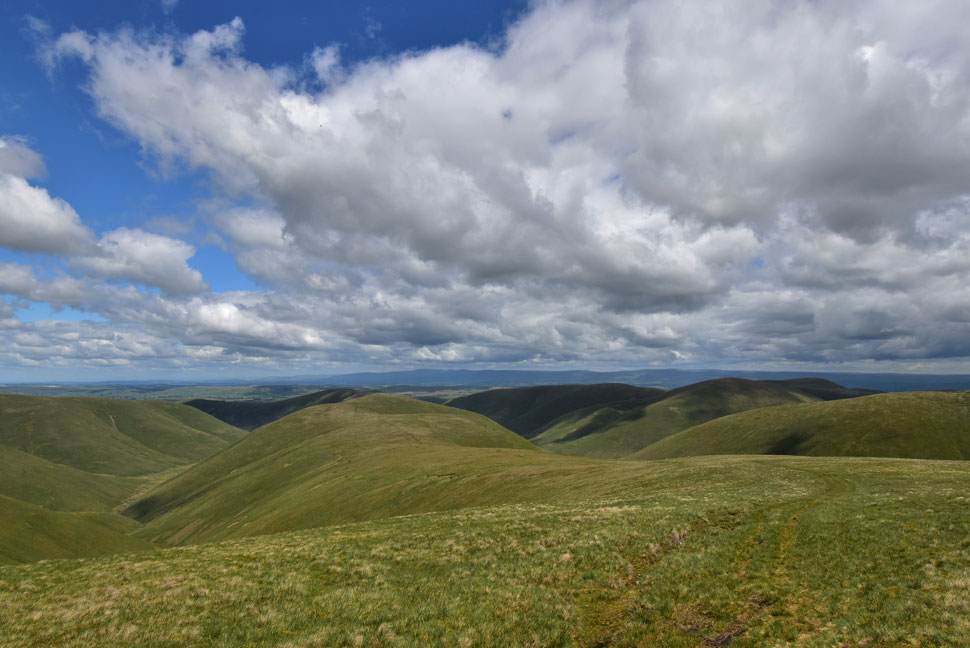
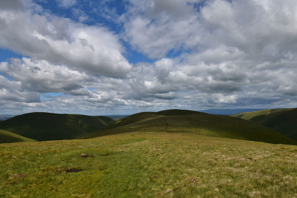
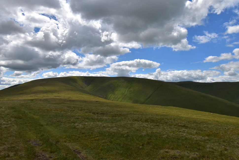
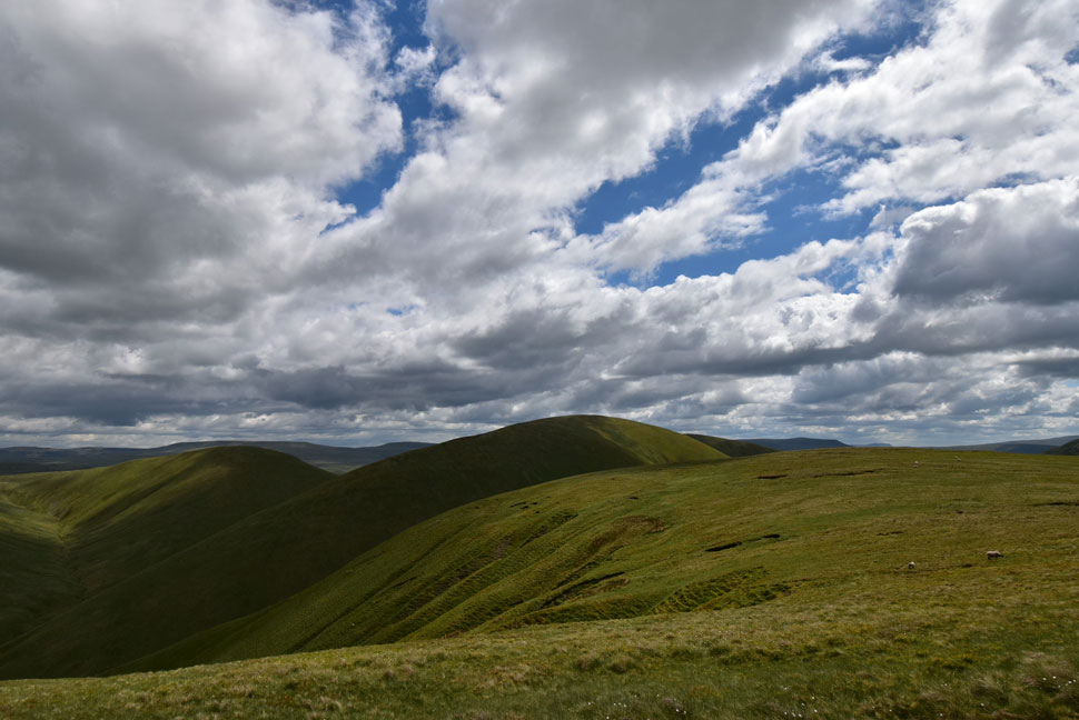
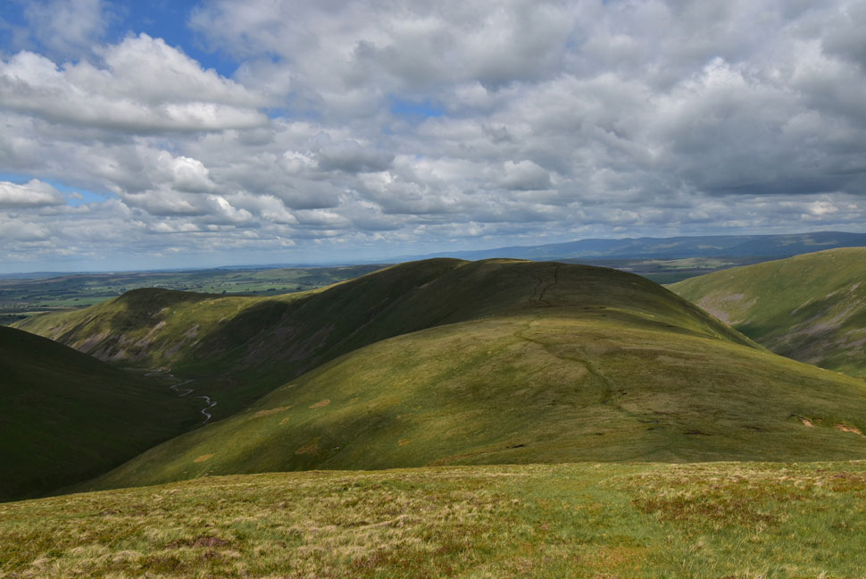
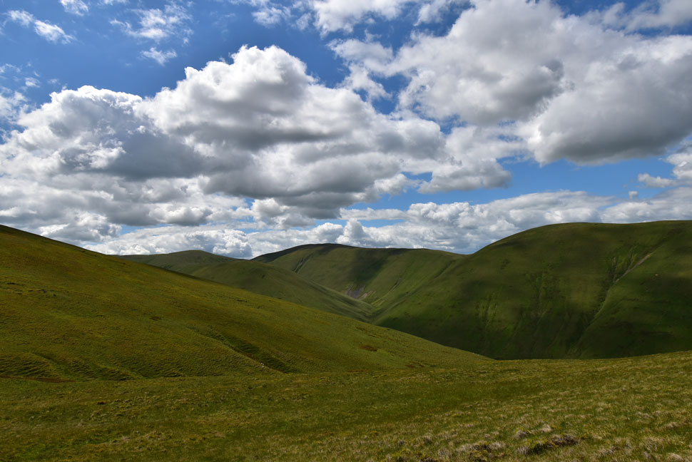
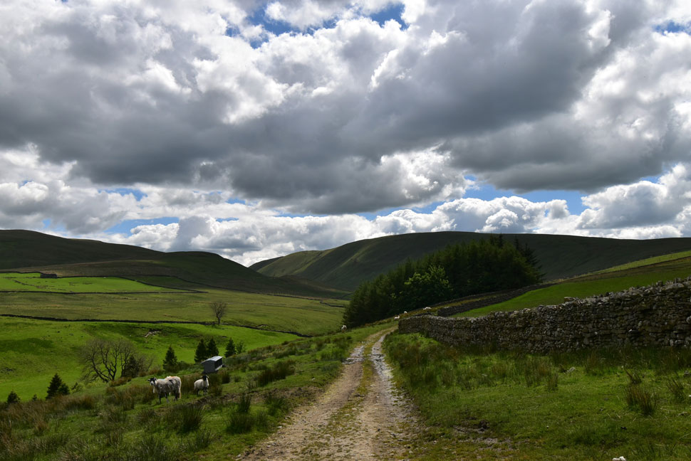
I can't help but feel a sense of arrogance when I pass the Howgills almost every weekend having never been lured to walk them, instead Lakeland had always been the greater call, more so after covid. Todays walked proved my ignorance as we took in the Bowderdale valley whilst being surrounded by rolling ridges to both our flanks, I think I can speak for all three of us that we were all taken aback by the solitude and the beauty of the Howgills on such a fine day.

 
Wainwright Guide Book
Walks on the Howgill Fells

It is a fine fast walk without any steep gradients, but lovers of drama will find the scenery monotonous while conceding that Bowderdale is a noble valley indeed.


Overview
Ascent: 2,000 Feet - 610 Metres
Summits: 3, The Calf - Hazelgill Knott - West Fell
Weather: Long Periods of Sunshine With High Cloud. Feeling Cool At Height. Highs of 18°C Lows of 10°C
Parking: Layby, Brow Foot
Area: Yorkshire Dales National Park
Miles: 13
Walking With: David Hall, Rod Hepplewhite & Calva The Dog
Ordnance Survey: OL19
Time Taken: 6 Hours 40 Minutes
Route: Brow Foot - Bowderdale Head - Bowderdale - The Calf - Hazelgill Knott - Dales High Way - West Fell - Bowderdale Head - Brow Foot
 

Parking Details and Map
Nearest Post Code: CA17 4NB
Grid Reference: NY 685 049 (Layby A685)


Map and Photo Gallery


Bowderdale Head (north) and West Fell from Brow Foot 08:00am 10°C

We agreed to meet at 08:00am for an 08:15am start but by 07:50am we were already kitted up and making our way towards Bowderdale Head. We had originally planned to leave two cars at the layby on the A685 at Brow Foot but decided against it given how tight parking can be at Bowderdale Head which added around a mile to Wainwrights offcial route.

We're heading for the Bowderdale Valley first which is accessed via a road that passes through Bowderdale Head before turning left onto a track bound for the wooded area seen right.


Yarlside domineering the head of the Bowderdale Valley.

We passed through Bowderdale Head and joined the track which was pretty wet underfoot so much in order to keep our boots dry we had to flank the large puddles using an equally soggy verge. After passing the woods the track rose gently alongside a stone wall where we turned left into the Bowderdale Valley by which time the skies had parted and we were blessed in warm morning sunshine.

It was also around here we were passed by a cheery mountain biker who by the looks of it had just descended West Fell, blimey we thow't 'he must have been up early'


The Bowerdale Valley, Bowderdale Beck and Yarlside.
That's Hooksey seen directly left with Randygill Top and Yarlside dead ahead. It wasn't until the return leg when we were descending The Calf for Hazelgill Knott did we realise just how enormous Yarlside actually is which kinda reminded me of a mini Kirk Fell.

Randygill Top and Yarlside.
After two miles and less than 200ft of ascent we passed Randygill Top not before being passed by a lady walker heading in the opposite direction. By now it was really starting to warm up so we strip off the long sleeved base layers in favour of technical Tee's underneath.

Looking back through Bowderdale.
What a place!

Yarlside.

We were passed by two fell runners who had descended Randygill Top, crossed Bowderdale Beck then started their ascent on The Calf before watching them disappear as the path curved over the shoulder of the fell.

Rod completed this walk a couple of years ago in just over four and a half hours even Wainwright calls this exact route 'fast' but we were on the opposite side of the spectrum today soaking in the valley at a much easier pace.


Bowderdale Head (south)
The fell runners were well out of view by the time the path started to gain height and rise towards The Calf as Bowderdale Head fell away on our left flank.

Looking back on Randygill Top and a distant Hooksey.
 

The boy wonder Calva.
Whether it's to chat, rest or to adjust gear whenever we stop Calva always takes the weight off too.

What a fabulous view!
 

Cautlley Crag and Great Dummacks seen right.
With Baugh Fell seen beyond and Ingleborough seen in the far distance.

The Lakeland fells from an unnamed tarn on the Dales High Way.
The path steepened as we took in the view through the Garsdale valley below before plateauing as we arrived on the Dales High Way. The tarn marks the spot where we'll join the the spectacular ridge route towards Hazelgill Knott and West Fell later.

Taking in the view...
...towards White Fell Head, Bush Howe, Fell Head, Saddle Grain and Cobbles.

The distant Lakeland Fells from The Calf summit.
From where we could distinctly make out Black Combe, the Coniston Fells the Langdales and the Scafells.

White Fell Head, Bush Howe and Fell Head from The Calf.
Despite it being too early for lunch we all agreed it was the best time to eat before starting the return leg of the walk so we set about finding somewhere out of the cool summit breeze that had caused us to add more layers.

Lunch with a view.
The lean brown eating machine.

White Fell Head, Bush Howe, Fell Head, Cobbles, Wind Scarth.
We ate an exended lunch in a type of dyke that ran alongside the footpath while enjoying the view over a distant Morecambe Bay all the while not being passed by a single walker, that's the Howgills for you and we certainly weren't complaining, in fact it prompted David and the rest of us to arrange another walk here hopefully in the not too distant future so watch this space.

Descending The Calf for Hazelgill Knott with West Fell beyond.
Rod wasn't wrong when he said he said he was saving the best until last. Almost four miles of rolling grassy ridge with views to die for.

Heading towards Hazelgill Knott.
With Simon's Seat and the Langdale valley seen over on the left while over on the right Randygill Knott, Hooksey and Bowderdale.

Simon's Seat (left) and Hazelgill Knott (ahead)
We continued to descend and while doing so passed two female walkers heading up to The Calf "your the first people we've seen all day" they laughed "you too" we replied which wasn't strictly true as they were the tenth if we were to include the mountain biker, three chaps in descent as we approached The Calf and two separate couples who we spotted at The Calf whilst we ate lunch, still, it's not exactly busy is it.

Here looking back on The Calf.
With Grains and Saddle Grain over on the right and Bush Howe further right.

Yarlside and Kensgriff.
On the saddle now as we take in the view over towards Yarlside and Kensgriff. It's been a while since we had to take out an OS map to link the fells with the views but I think I can speak on behalf of all of us when I say it was good fun to do so.

West Fell and Langdale Knott.
Seen as we prepare for the descent of Hazelgill Knott. Our ridge route wont take us as far as Langdale Knott seen left, instead we split right and summit West Fell before continuing across the summit before descending back to Bowderdale Head.

Looking across to Middleton and Simon's Seat.
Taken from the saddle between Hazelgill Knott and West Fell.

Handsome boy.
I wish I could get Holly and Brad to pose like this!

Descending West Fell for Bowderdale Head.
Rod found two rocks which marked the summit of West Fell as we took in the views back towards Hazelgill Knott which by now was obscuring views of The Calf over four miles away. We left West Fell and continued crossing the summit plateau until the path began its descent with views as far as Carrock Fell and Blencathra to the north west and the Pennines to the north.

Bowderdale Head.
With the descent of West Fell behind us we found ourselves at the point where we entered the Bowderdale valley over six hours earlier only now our feet were telling us we were edging into the thirteen mile. The water logged track was starting to dry up after hours of sunshine and as we passed through Bowderdale Head it started to feel like a proper Summers day. David tried to entice Calva into Bowderdale Beck but a combination of the bank being too high and Calva not really wanting to get his feet wet meant he'd have to wait until we got back to the cars.

Hooksey and West Fell from Bowderdale Head.

We followed three bleating lambs who appeared to have escaped from a nearby field and were looking for a way back in, or they might just have been enjoying their new found freedom. A solo walker is passed as our cars come in and out of view which had been something of a joke back on West Fell when they looked to be twenty miles away "maybe they've shrunk" I joked.

I took once last look at West Fell from the boundaries of Bowderdale Head right at the same time the noise of traffic travelling along the A685 broke the silence. It was lovely and warm as we kitted down and I for one was looking forward to removing my boots so I could give my toes a good rub and massage the pads of my feet, thirteen mile is thirteen mile no matter what type of ground you've covered.

David treated Calva to a bowl of water before Calva settled onto the back seat eyes already starting to close as David, Rod and I set about planning our next trip for the following bank holiday "Lakeland is gonna be mayhem" so it's best to choose where to walk wisely.


Back to top