|
Harter Fell from Kentmere |
 |
 |
8th May 2022 |
 |
|
Without really planning it I seem to be returning to walks that I'm really fond of but haven't walked for a while and this week the trend continues as I returned to Kentmere after four years away.
My walk was inspired after speaking to a friend of mine who was planning to walk Kentmere Pike and Harter Fell from Mardale which in turn got the old cogs going "jeez when was the last time I started a walk from Kentmere" The answer to that would be June 2018 when I walked Birketts Kentmere Horseshoe.
Being just over an hour away from Kentmere after a few celebratory Birthday drinks yesterday afternoon I was tucked up in bed by 10pm (the joys of turning 48!) and woke well before my alarm call arriving at the parking spaces outside St Cuthberts Church, Kentmere at 07:20am to find a fell running event was taking place where I was rudely told that 'Id have to find somewhere else to park" by one of the event organisers. By the end of the day it all kind'a made sense. |
|
| Wainwright Guide Book Two |
 |
| The Far Eastern Fells |
| A high ridge, a counterpart to the Ill Bell range across Kentmere, rises steeply to enclose the upper part of that valley on the east. |
 |
|
|
|
|
| |
|
Overview |
|
|
| Ascent: |
2,575 Feet - 785 Metres |
| Wainwrights: |
2, Kentmere Pike - Harter Fell (Mardale) |
| Visiting: |
2, Brown Howe - The Knowe |
| Weather: |
Bright & Sunny Throughout. Feeling Cool Across The Summits Highs of 18°C Lows of 9°C Feels Like 6°C |
| Parking: |
Roadside Parking, Kentmere |
| Area: |
Far Eastern |
| Miles: |
9.7 |
| Walking With: |
On My Own |
| Ordnance Survey: |
OL7 |
| Time Taken: |
5 Hours |
| Route: |
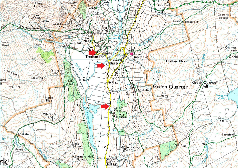
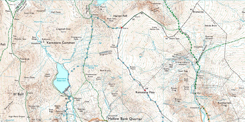
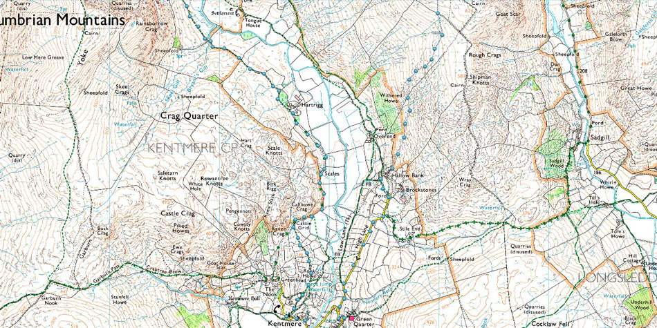
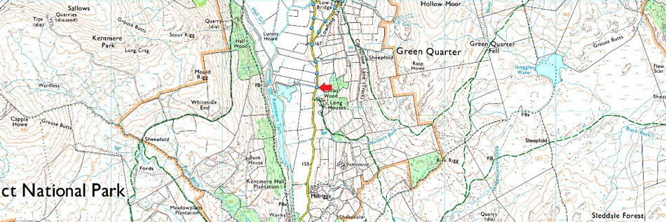
Kentmere - Lowfield Lane - High Lane - Hollow Bank - Withered Howe - Kentmere Pike - Brown Howe - The Knowe - Harter Fell (Mardale) - Top of Nan Bield Pass - Kentmere Reservoir - Hartrigg - Scales - Rook Howe - Hollin Lane - Hollinrigg Lane - St Cuthbert Church - Kentmere |
|
| |
|
Parking Details and Map |
|
|
| Nearest Post Code: |
LA8 9JL |
| Grid Reference: |
NY 458 032 |
| Notes: |
The car park in the village of Kentmere is quite small with room for only around five well parked cars meaning arriving early is a must. The car park is found on Hollinrigg Lane on the left after passing St Cuthberts Church opposite a phone box. Donation Box on the wall of the Kentmere Institute. During peak periods a field is opened up at Low Bridge. As of 08/05/22 it was £5.00 for all day parking. A Layby can be found 0.60 miles away from Kentmere village with room to park two cars. |
|
| |
|
Map and Photo Gallery |
|
|
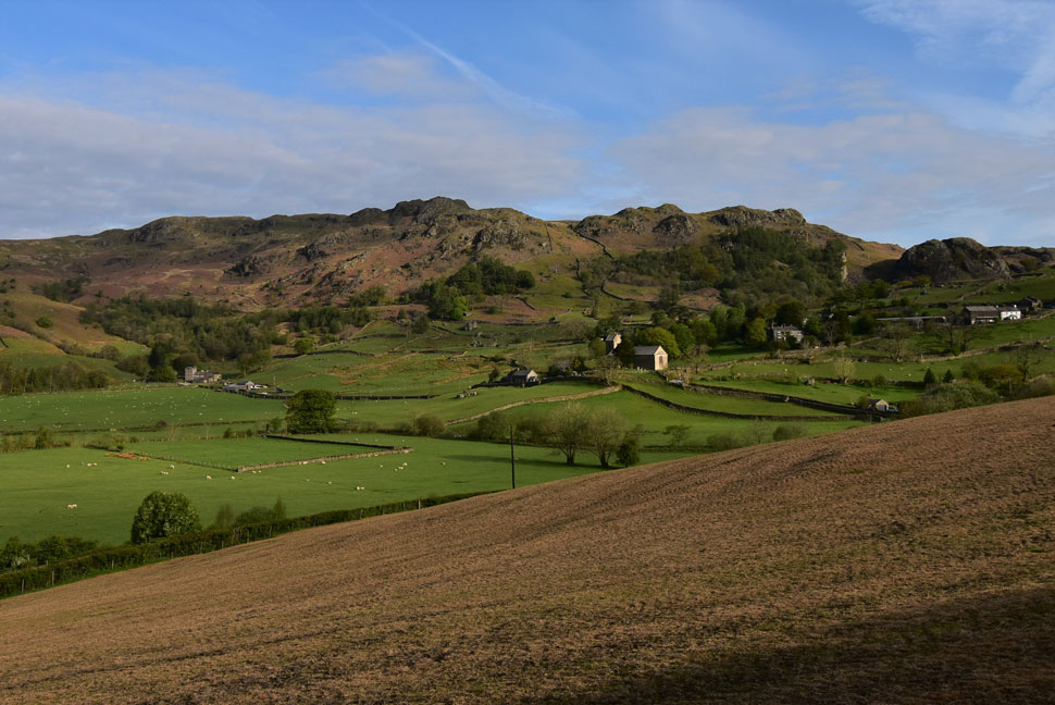 |
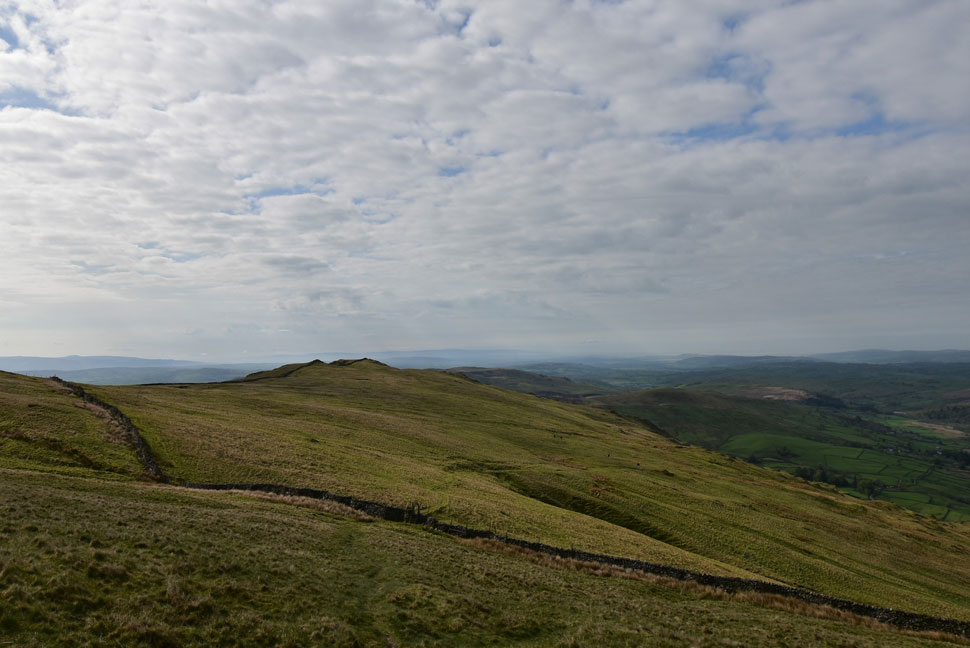
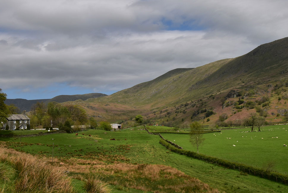
| The knolls and knotts above Kentmere village 07:40am 9°C |
Feeling frustrated I turned my car around and drove down the hill towards a field that had been opened up for the competitors of the event just past Low Bridge. Even if I wanted to I couldn't sneak on and pay because the car park was full to bursting already so stuck the car into gear and left all the while trying to think of an alternative walk from Kentmere but all I could think of was how much I'd wanted to summit Kentmere Pike and return through the valley later. A few minutes later I passed a layby which gave access to the private fisheries on Kentmere Tarn. Parking here would add about a mile to the walk but seeing as I was early what was a mile between friends.
As I kitted up more and more cars drove towards the village and I could feel myself getting more frustrated "where the hell are they going to park" I churned over. It was a pleasant morning so I changed from a long-sleeve base layer to a technical tee and packed the baselayer and a waterproof into my pack. Within minutes I was leaving the layby walking back into Kentmere before turning right onto Lowfield Lane which would eventually lead me onto High Lane and the Kentmere valley. |
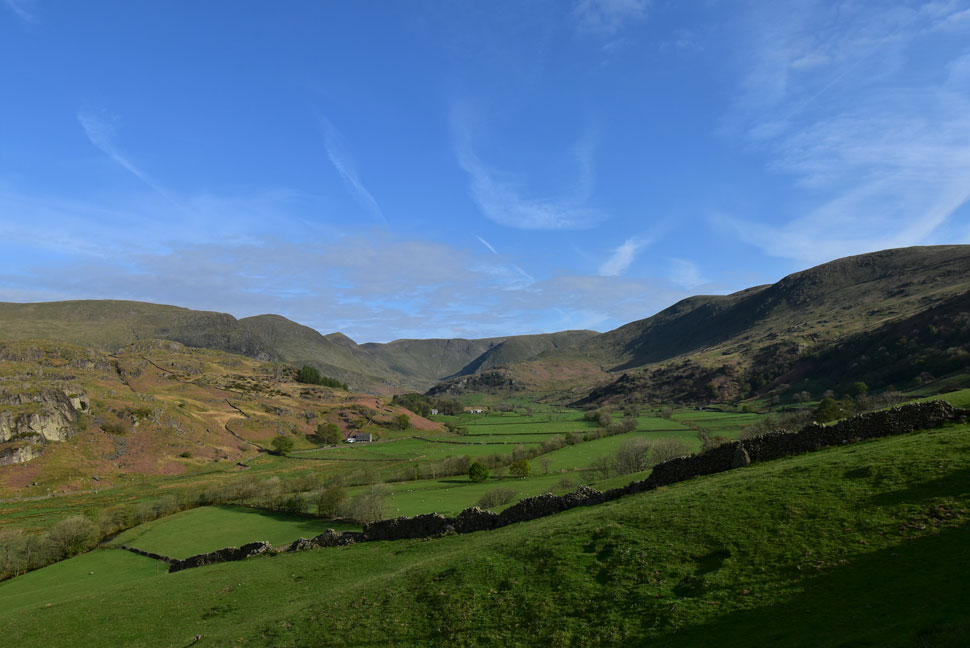 |
| Yoke, III Bell, Froswick, Thornthwaite Crag, Lingmell End, Mardale III Bell, The Knowe, Harter Fell and Smallthwaite Knott from High Lane. |
| Affectionately known as the Kentmere valley. |
 |
| Yoke, III Bell, Froswick, Thornthwaite Crag, Mardale III Bell, and The Knowe, |
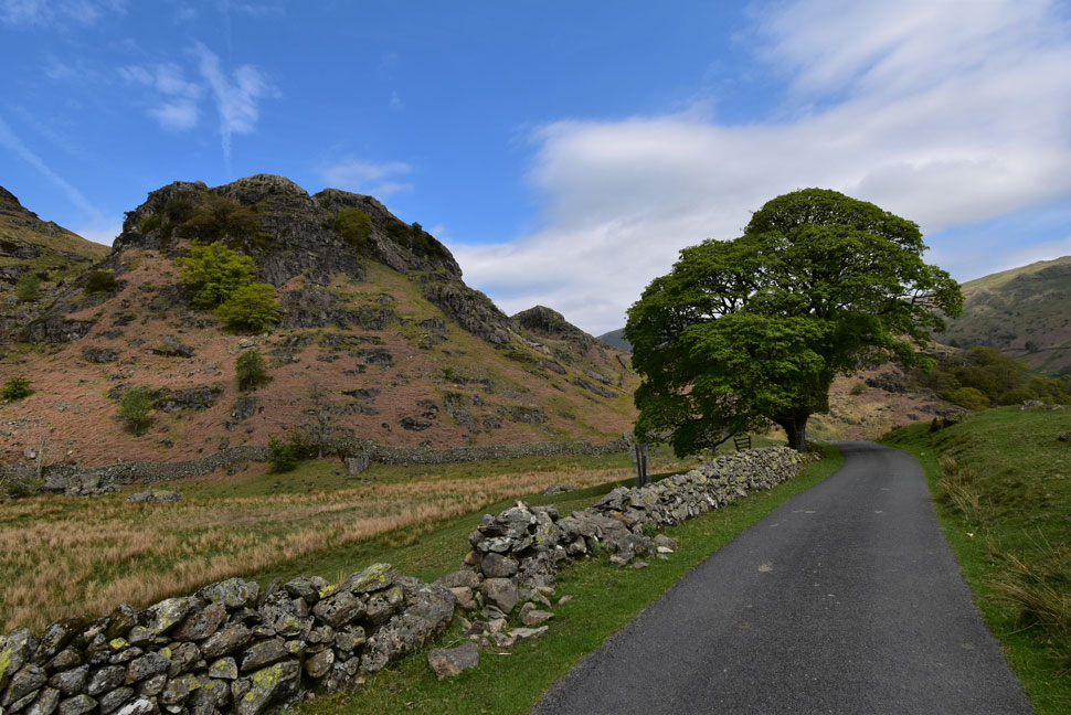
| Four years is a long time and I couldn't quite remember where to join the path which ascends the western flank of Kentmere Pike from until I spotted the path high on the fell side and retraced it back down towards a corner in the wall just up ahead. |
 |
| I look back towards Cocklaw Fell and Green Quater Fell. |
| With Hollow Bank and High Lane below. |
 |
| The views of the III Bell ridge were amazing. |
| I don't have the time to complete the whole Kentmere Horseshoe so the next best alternative after visiting Harter Fell was to descend towards Kentmere Reservoir and walk back through the valley via Hartrigg Farm seen left. |
 |
| Kentmere Pike comes into view. |
| The path ascends steadily then steeply once past Withered How before levelling slightly to reveal Kentmere Pike. This morning I had the pleasure of a chance encounter with... |
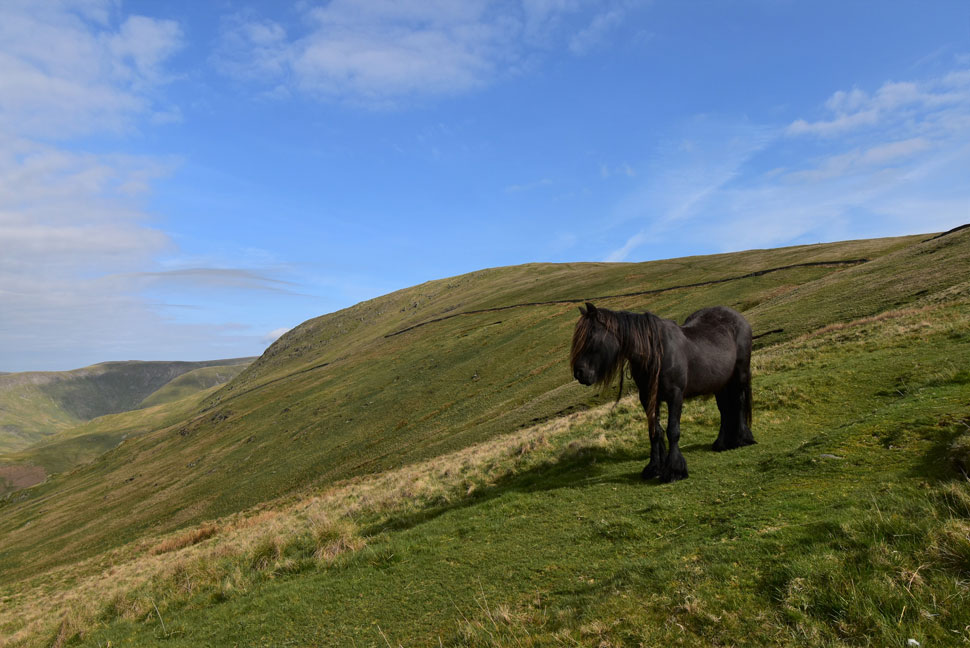 |
| ...this beautiful Kentmere pony for a few moments. |
| She stayed firm on the spot but never took her eyes off me. |
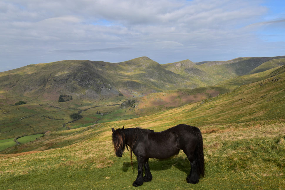 |
| Nothing says Kentmere... |
| ...like a Kentmere Pony with the III Bell ridge in the distance. |
 |
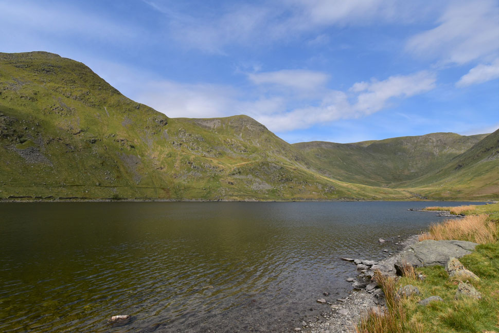
| Once past the wall. |
| The summit of Shipman Knotts comes into view. |
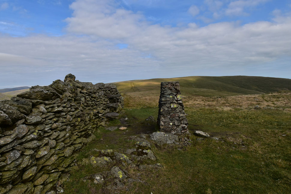 |
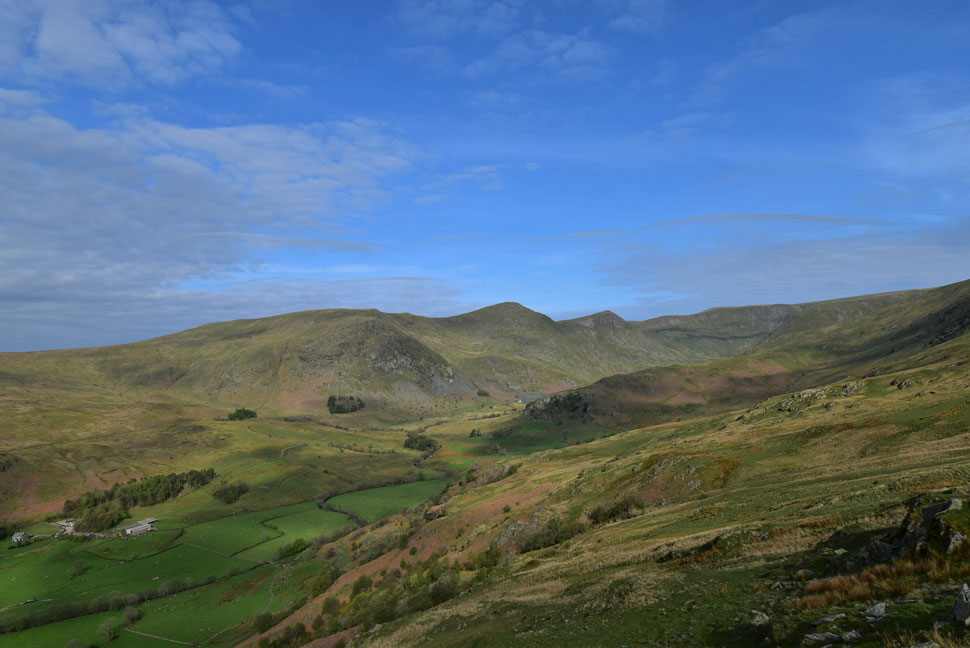
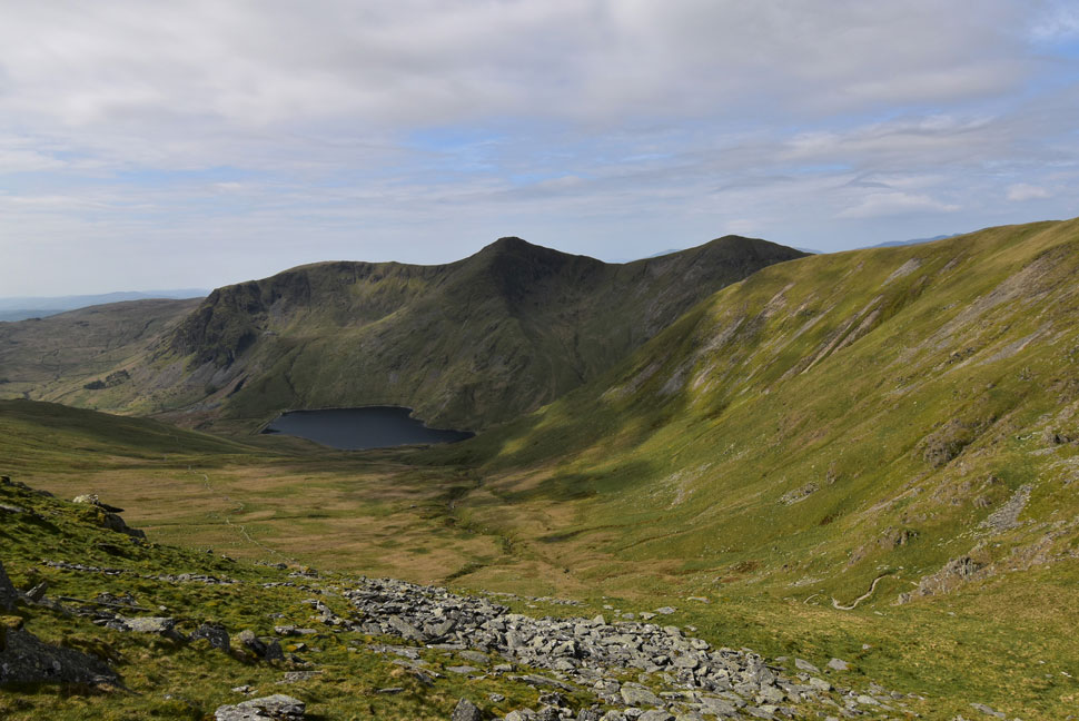
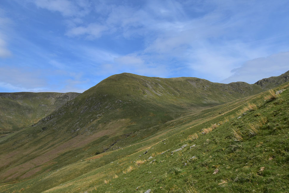
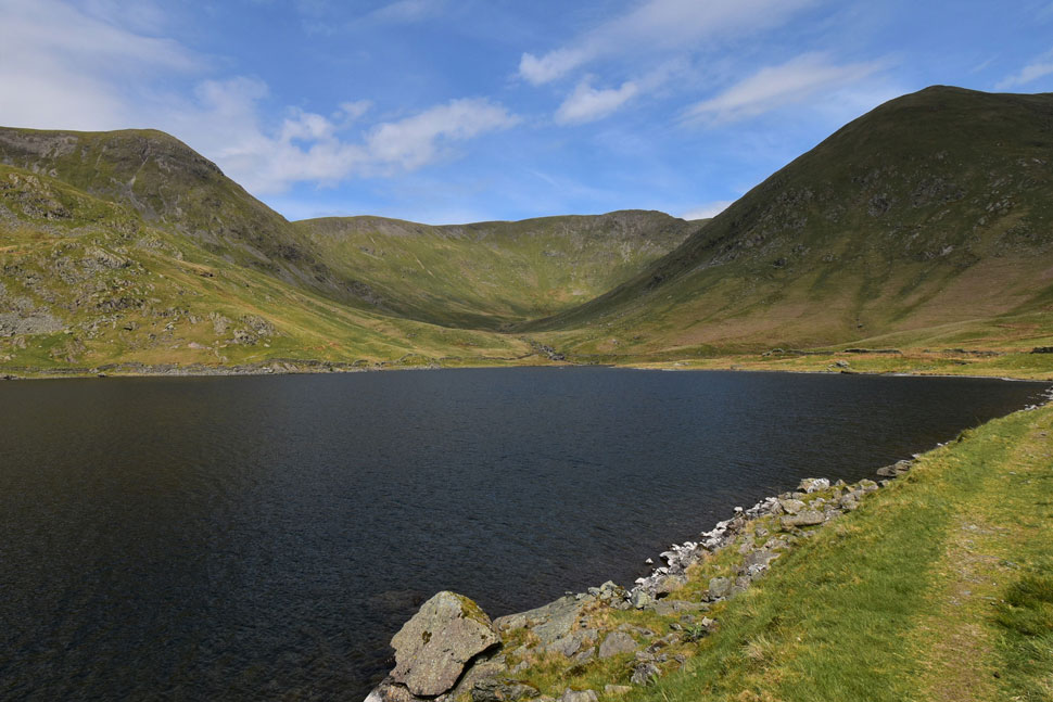
| Harter Fell (Mardale) from Kentmere Pike. |
| I crested the shoulder of the fell which steepened in ascent until the smooth grassy summit plateau was reached from where I tipped my walking poles horizontally and made my way towards the summit trig point. |
 |
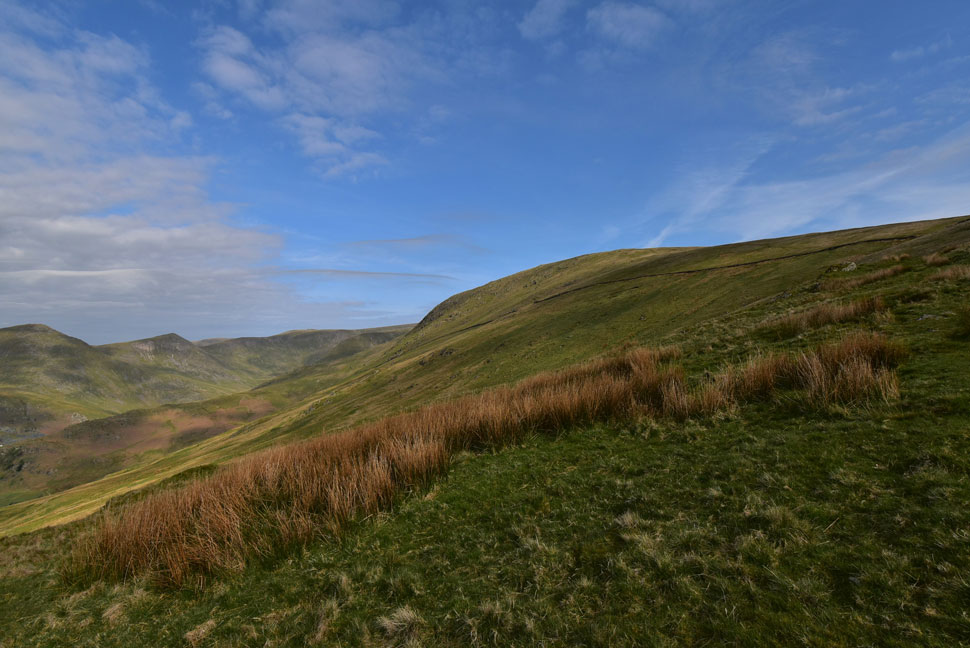
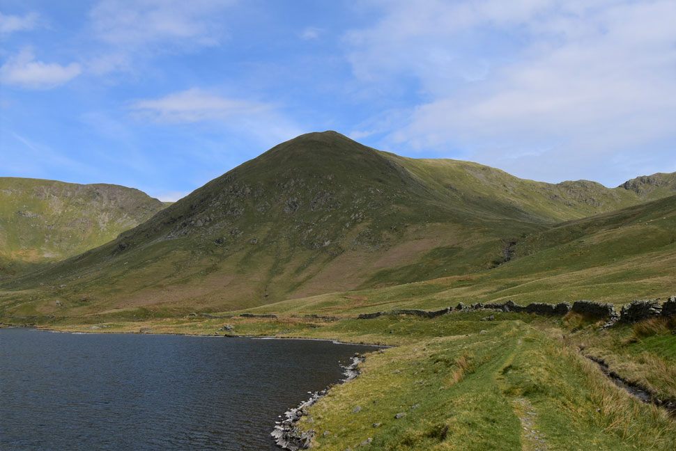
| The Knowe and Harter Fell (Mardale) from Brown Howe. |
| The temperature had notably cooled but I told myself I'd give it until I reached Harter Fell until I added another layer. By now the competitors from the fell race event were starting to appear ascending by direct routes up the hillside from the Kentmere valley below. |
 |
| Mardale III Bell, High Street, Kidsty Pike and High Raise (Martindale) from Harter Fell (Mardale) summit. |
I passed over The Knowe enjoying the soft turf beneath my boots before turning east towards Harter Fell summit where I was joined by what appeared to be a mother and daughter competing in the fell race. The organisers of the fell race had placed a check in point on the other side of the fence which meant every competitor had to jump over the fence to check in.
I'm not too sure if the land owner would be happy about that but as I later found out the organisers hadn't even notified landowners that the fell race was taking part on their land. |
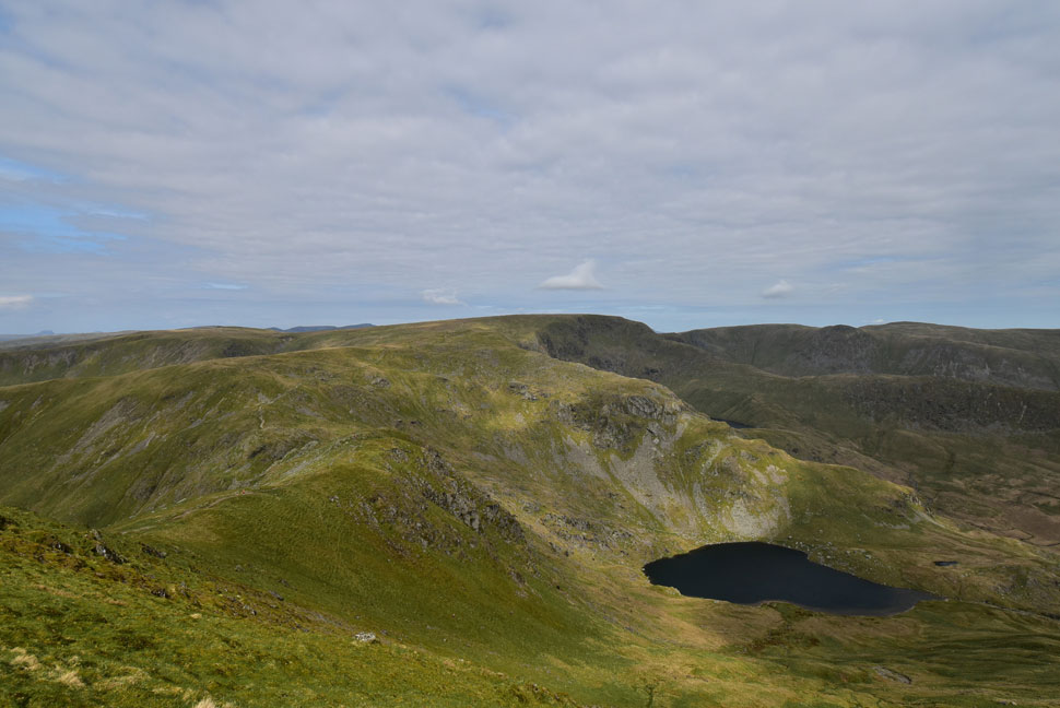 |
| Mardale III Bell, Caudale Moor, High Street, Kidsty Pike and High Raise (Martindale) and Small Water from Harter Fell (Mardale) |
The mother and daughter descended towards the top of Nan Bield Pass while passing more fell runners in ascent no doubt heading for the check in point on the other side of Harter Fell summit.
After a quick summit photo I began my descent passing a lady walking towards the summit cairn where 'mornings' are exchanged. The lady was wearing a fleece which triggered me into adding an extra layer which in turn got rid of the goose bumps spreading across both my arms. |
 |
| You don't have to climb your favourite fell to enjoy it. |
| Sometimes you just need to view it from across the way. |
 |
| Yoke, III Bell and Froswick appear. |
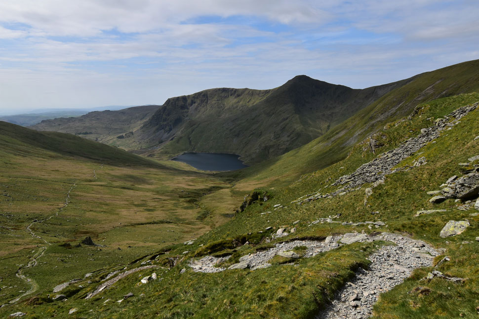
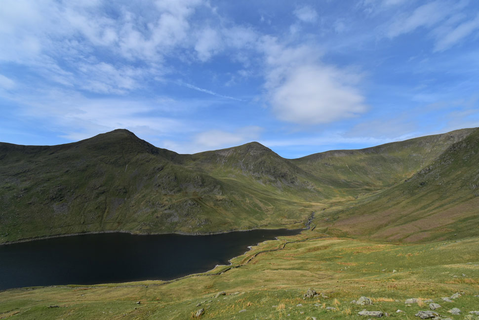
| As I descend towards the top of Nan Bield Pass with Kentmere Reservoir below and Lingmell End seen right. |
 |
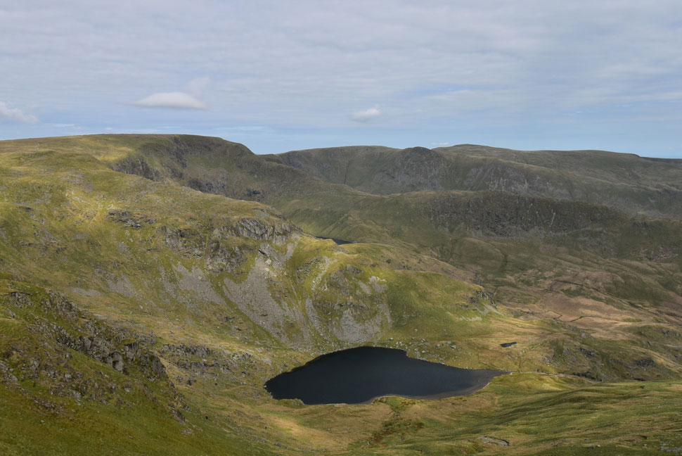
| Views over Small Water, Piot Crag (Mardale III Bell) The Rough Crag Ridge, The Rigg, Haweswater and Low Raise. |
| |
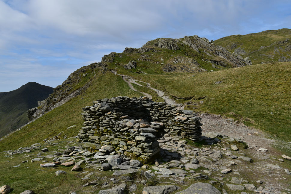 |
| The stone shelter found at the top of Nan Bield Pass. |
I was soon at the top of Nan Bield Pass where two mountain bikers were getting ready for a descent into Kentmere, by the time I'd taken this photo ready for my own descent they were at the bottom of the pass gunning it towards Smallthwaite Knott.
As I watched their dust settle I am again reminded that I ain't getting any younger! |
 |
| Descending Nan Bield Pass. |
| With views of Yoke, Mardale III Bell and Kentmere Reservoir. |
 |
| III Bell East Ridge, Froswick, Thornthwaite Crag and Kentmere Reservoir. |
From here you really get a good angle of the curve on III Bell's east ridge. The ridge is also very deceiving which is regarded as one the steepest ascents in the District.
Instead of going over the top of Smallthwaite Knott I descend a diagonal line towards Kentmere Reservoir below. |
 |
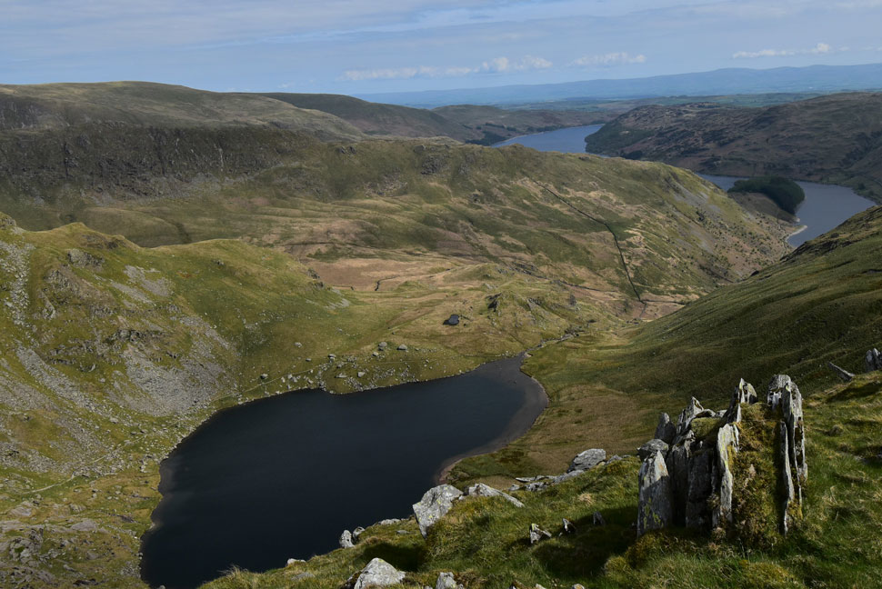
| Looking back on Hall Cove (left) Lingmell End (centre) and the top of Nan Bield Pass (right) |
| More fell runners appeared some of whom I spotted heading into Hall Cove others taking a direct line up Lingmell End. If you've ever climbed Lingmell End directly from the Reservoir you'll know what a tough ascent the fell runners were in for. |
 |
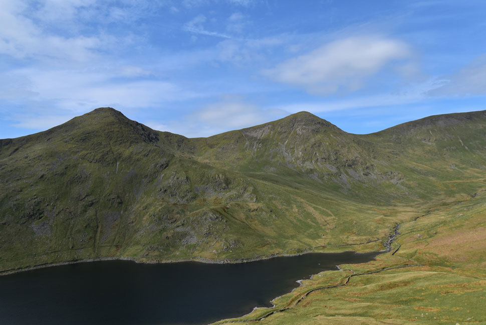
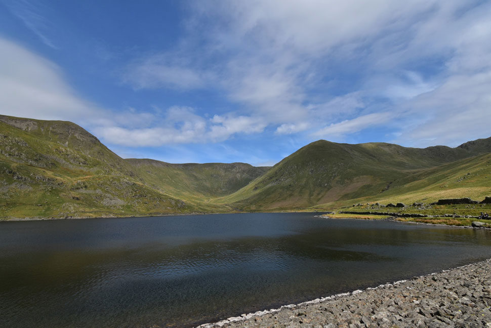
| Kentmere Reservoir, III Bell, Froswick and Hall Cove. |
| Despite an awful lot of zagging and zagging it seemed to take me ages to reach the reservoir below. |
 |
| Looking back on Lingmell End from Kentmere Reservoir. |
| It's almost time for an early lunch and what better place to enjoy it from. |
 |
| Froswick, Hall Cove and Lingmell End from Kentmere Reservoir. |
| That's if I can tear myself away from the views. |
 |
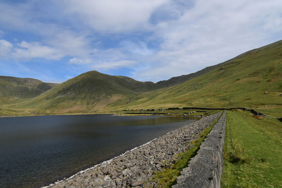
| III Bell, III Bell East Ridge, Froswick, Hall Cove and Lingmell End from Kentmere Reservoir. |
| There was two or three couples already eating lunch on the dam wall so I decided to cross the dam towards the other side. |
 |
| Froswick, Hall Cove and Lingmell End from Kentmere Reservoir. |
| With the top of Nan Bield Pass appearing over on the right. |
 |
| Lunch with a view. |
| By now it was approaching midday and the temperature was rising into the late teens so out came my lunch while I sat and watched fish rising across the reservoirs surface, talk about peaceful. |
 |
| Yoke and Rainsborrow Cove from Kentmere Residential Centre (formally the Barracks) |
| I left the reservoir behind while at the same time it started to cloud over but thankfully the cloud soon cleared and the sun was back out within no time. |
 |
| Looking back into upper Kentmere towards Yoke, III Bell, Froswick, Thornthwaite Crag, Hall Cove and Lingmell End. |
I had already been passed by a farmer riding a quad bike close to the Barracks cottage who then returned passing me again a short time later. Sadly for the two pairs of fell runners he'd seen scalling a wall on the opposite side of the valley who then ran through a field of lambs and their mothers their time was up.
By the time I'd caught up with the farmer who had stopped to apprehend the fell runners by giving them a piece of his mind he had calmed down as I arrived but I could still hear every high pitched word "I was completely unaware of the event" and "what do you mean your sorry, what are you doing climbing my walls" followed by humble apologies from the fell runners.
The fell runners then passed me repeating that 'it was wrong of the organisers not to gain permission' which was fair enough although in my opinion the fells runners running through a field full of lambs was the final nail in the coffin for the farmer "dear god I thought" I hope those fences didn't get damaged on top of Harter Fell"
For those few moments it felt like chaos, because it was chaos and I couldn't wait to put it to the back of my mind. |
 |
| Smallthwaite Knott, Lingmell End, Mardale III Bell and The Knowe. |
| Taken from Hardrigg. |
 |
| Raven Crag seen as I approach the village of Kentmere. |
| My time in the Kentmere valley is almost over and despite the ignorance of just a few I've really enjoyed my return to Kentmere. |
 |
| Approaching Low Bridge, Kentmere. |
| The start and end point for the fell runners was St Cuthberts Church where I pass dozens of fell runners relaxing or hydrating after a day on the hill. Up ahead the over spill car park seen on the right but I've still got a good mile to walk yet before I reach my car. |
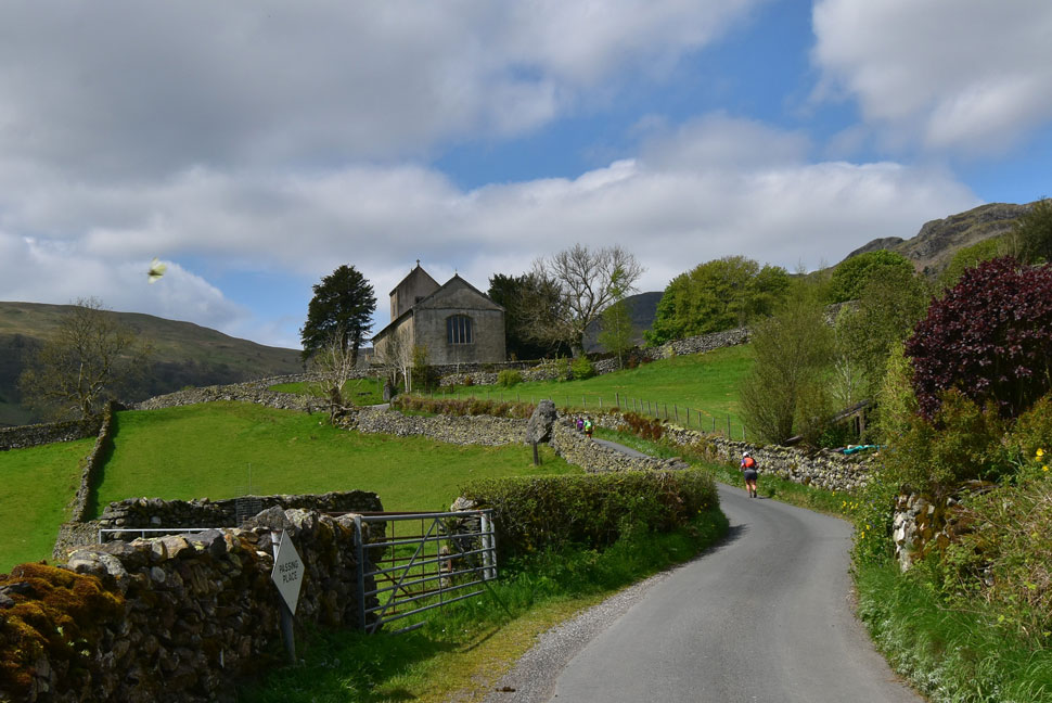 |
| Looking back in St Cuthberts Church, Kentmere. |
It felt like Spring was turning to Summer during the time it had taken me to walk from St Cuthberts back to my car where for those twenty minutes or so I didn't have a care in the world which I guess is what Lakeland does to you, it grips you and takes you away and when reality is reached it often comes as a shock. Heardies flank the fields to my right while in a distant field lambs bleat for their mothers. It could be a scene from 100 years ago but this is Kentmere, untouched by time but not by man. |
|
| |
| Back to top |
 |
|