|
Angletarn Pikes & Brock Crags from Patterdale |
 |
 |
7th November 2021 |
 |
|
I had no intention to walk today after spending the previous afternoon out with friends but seeing as I'm a lightweight by 10:30pm I was home and tucked up in bed. For some reason my alarm went off at 6.30am and no matter how much I tried to go back to sleep it just wasn't happening.
After making breakfast I turned to my phone to check the days forecast and spotted a weather window mostly affecting the west of the district. It looked like the high winds had peaked with summit winds reaching up to 65mph so I aimed low, or sort of. I planned to walk Yewbarrow but by the time I was ready to leave frustratingly the forecast had changed and with no real plan where to walk I drove north.
I stopped at Charnock Richard services and scanned the forecast. it looked bleak and I settled on a low level walk from Grasmere where I'd walk up to Alcock Tarn then possibly Nab Scar if the winds allowed. Continuing north I had another change of plan confirmed by the brighter forecast out east. As frustrating watching the forecast at this time of year is sometimes you just gotta go with where your heart pings the most and during that drive north my heart was thumping for Angletarn Pikes. |
|
| Wainwright Guide Book Two |
 |
| The Far Eastern Fells |
| The crowning glory of the Pikes, however, is the tarn from which they are named, cradled in a hollow just below the summit. It’s indented shore and islets are features unusual in mountain tarns, and it has for long, and deservedly been a special attraction for visitors to Patterdale. |
 |
|
|
|
|
| |
|
Overview |
|
|
| Ascent: |
1,823 Feet - 556 Metres |
| Wainwrights: |
2, Angletarn Pikes - Brock Crags |
| Weather: |
Overcast With Sunny Spells. Strong Winds Across The Summits. Highs of 10°C Lows of 5°C Max Wind Speed 37.7mph |
| Parking: |
Roadside Parking, Patterdale School |
| Area: |
Far Eastern |
| Miles: |
6 |
| Walking With: |
On My Own |
| Ordnance Survey: |
OL7 |
| Time Taken: |
4 Hours |
| Route: |
Patterdale School - Goldrill Beck - Boredale Hause - Angletarn Pikes - Angletarn Pikes South Summit - Angle Tarn - Brock Crags - Footpath Above Hayeswater Gill - Calf Close - Angletarn Beck - Dub How - Beckstones - Crookabeck - Rooking - Patterdale |
|
| |
|
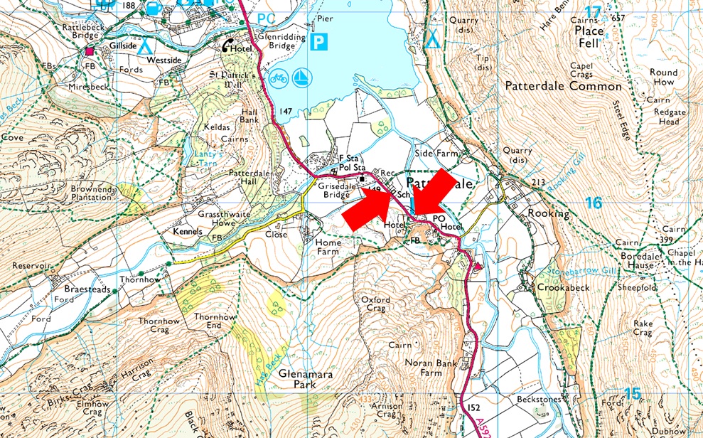
Parking Details and Map |
|
|
| Nearest Post Code: |
CA11 0NW |
| Grid Reference: |
White Lion Hotel - NY 395 315 - Patterdale Primary School NY 394 516 |
| Notes: |
Patterdale alongside Glenriddging acts as a hub for the eastern and far eastern fells yet unlike Glenridding Patterdale doesn't have a centralised car park. With this said parking in Patterdale, especially during the height of Summer can be a problem with only two main sites to leave your car. The first is very popular with fell walkers which is just opposite the White Lion Hotel, here you will find a short layby with room for up to five parked cars. Parking is free. The second place to park is found just outside Patterdale Primary School where you can park on the kerb right outside the School, here you will find spaces for around three to four well parked cars. Parking is free. |
|
| |
|
Map and Photo Gallery |
|
|
 |
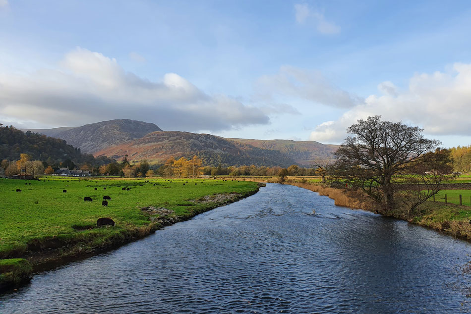
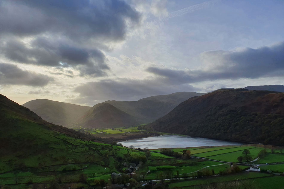
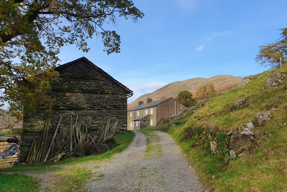
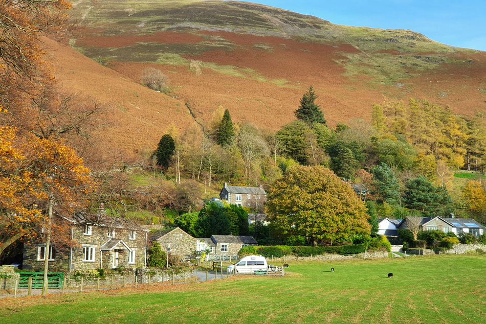
| Place Fell over Side Farm 10:45am 9°C |
It's not very often you'd find a parking spot after 9am in Patterdale but given that I'd committed to Angletarn Pikes I could always re-mortgage and park on the car park close to the entrance to side farm. Turns out I needn't re-morgage finding plenty of parking outside Patterdale school where I was joined by a female fell runner and her two spaniels as I kitted up. It was a bright morning but breezy at valley level and as yet there wasn't any need to add gloves or my beanie which get tucked into the side pocket of my pack just in case I needed them once height was gained.
Patterdale was a hive of activity with runners who had set off from Glenridding while making their way towards Silver Crag on Ullswater before doubling back over Boredale Hause, down to Beckstones and returning to Glenridding, there was nowt I could do except get caught up in at all. |
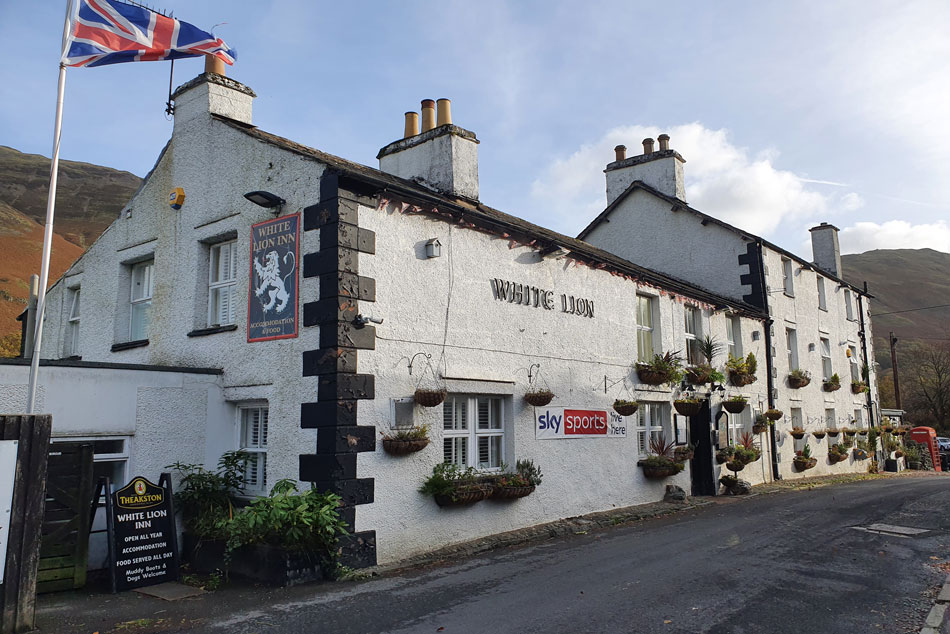 |
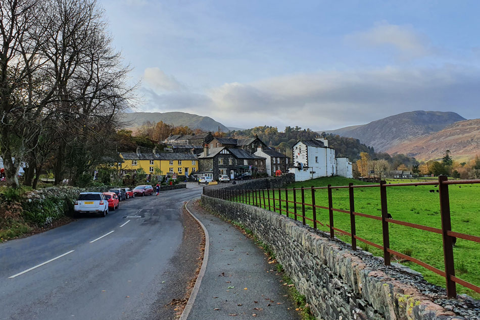
| Passing the White Lion, Patterdale. |
| I'm passed by more fell runners some of whom left the road and were making their way towards Side Farm. An elderly gent was struggling to cross the road between the traffic so I crossed the road with him and watched him disappear into the village store. With all the recent rain Patterdale had seen some localised flooding but there was little trace of it now which was good news. I continued through the village and made my way towards the bridge over Goldrill Beck where two marshals were standing, I gave them a morning and got two back in return. |
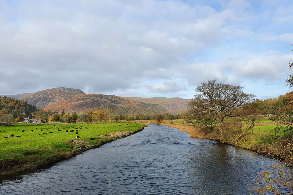 |
| Glenridding Dodd and Sheffield Pike from Goldrill Beck, Patterdale. |
| Despite the odd gust it's actually quite mild and clearing up nicely as I make my way towards Rooking. |
 |
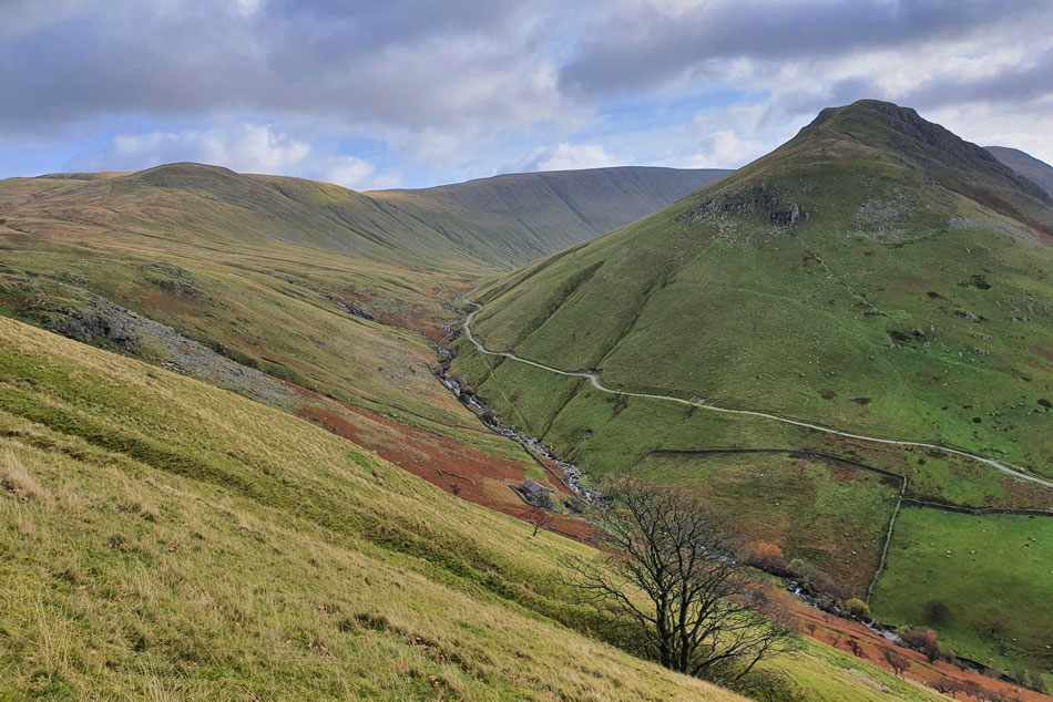
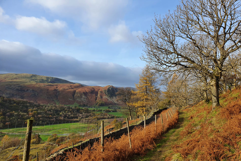
| Ascending towards Boredale Hause. |
| The base of the footpath was very busy with marshals and more fell runners who I thought I'd encounter making their way onto Boredale Hause but perhaps they hadn't got to this section sighting just the one fell walker up ahead. |
 |
| Views opening up now. |
| With St Sunday Crag, Cofa Pike, Birks, Hart Side, Sheffield Pike, Glenridding Dodd and Stybarrow Dodd coming into view. |
 |
| Here looking over towards Arnison Crag and Birks. |
| It looks like the trees are still holding onto their leaves for now which are looking very Autumnal in the sunshine. |
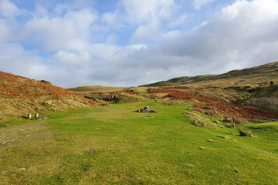 |
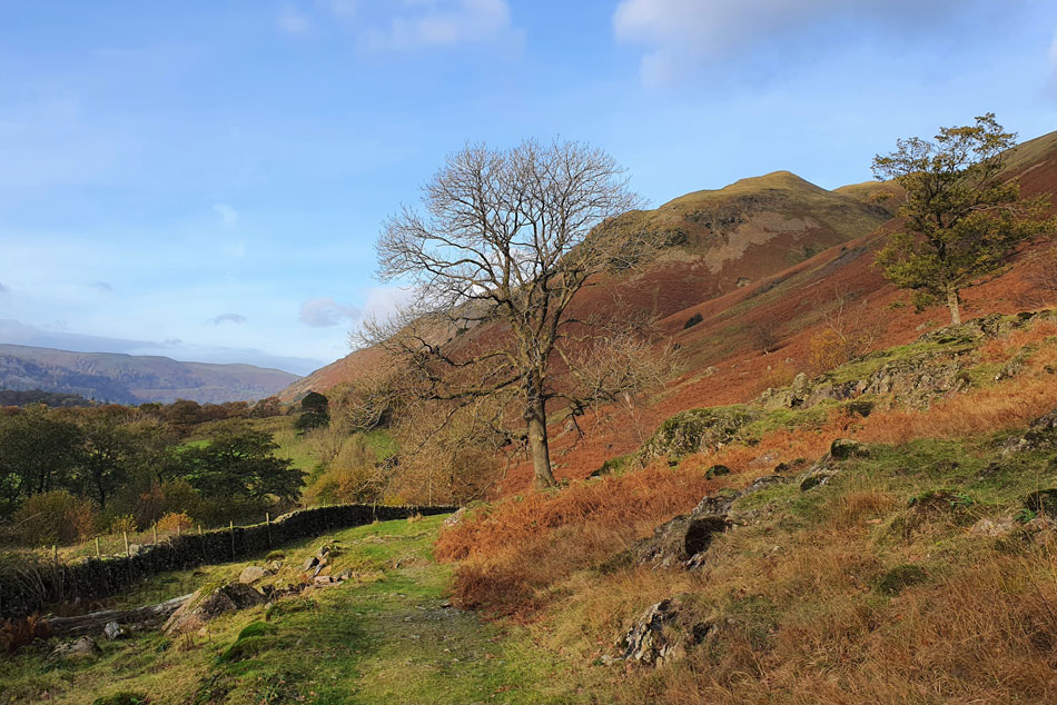
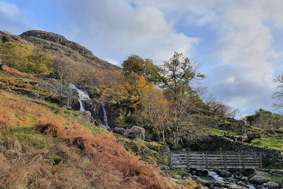
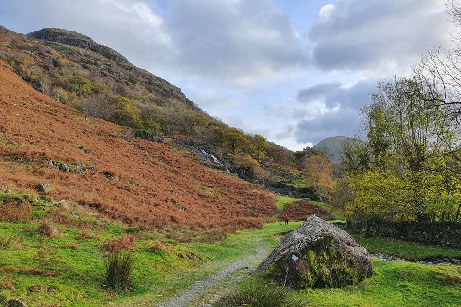
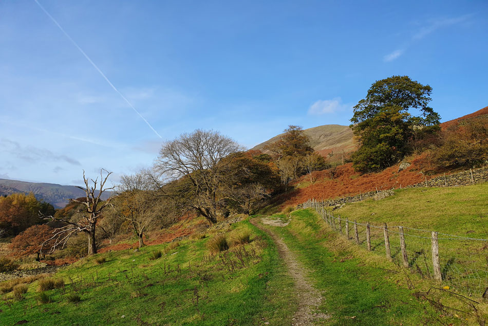
| Boredale Hause. |
| I seemed to make it to Boredale Hause in no time at all where a marshal was stood in what was now a bracing wind 'morning' I smiled and got one in return. I made my way over the closely clipped grass, crossed a very muddy Stonebarrow Gill and started the easy ascent flanked by Stoney Rigg to my left. |
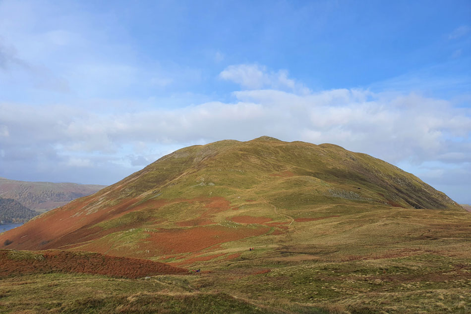 |
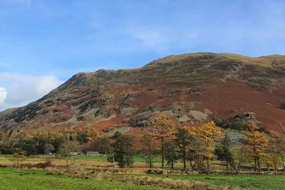
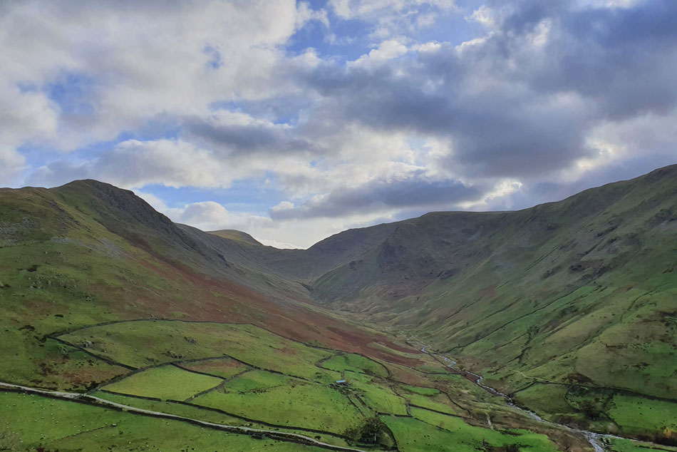
| Looking back over Boredale Hause towards Place Fell. |
| Which was looking wonderful in the sunshine. |
 |
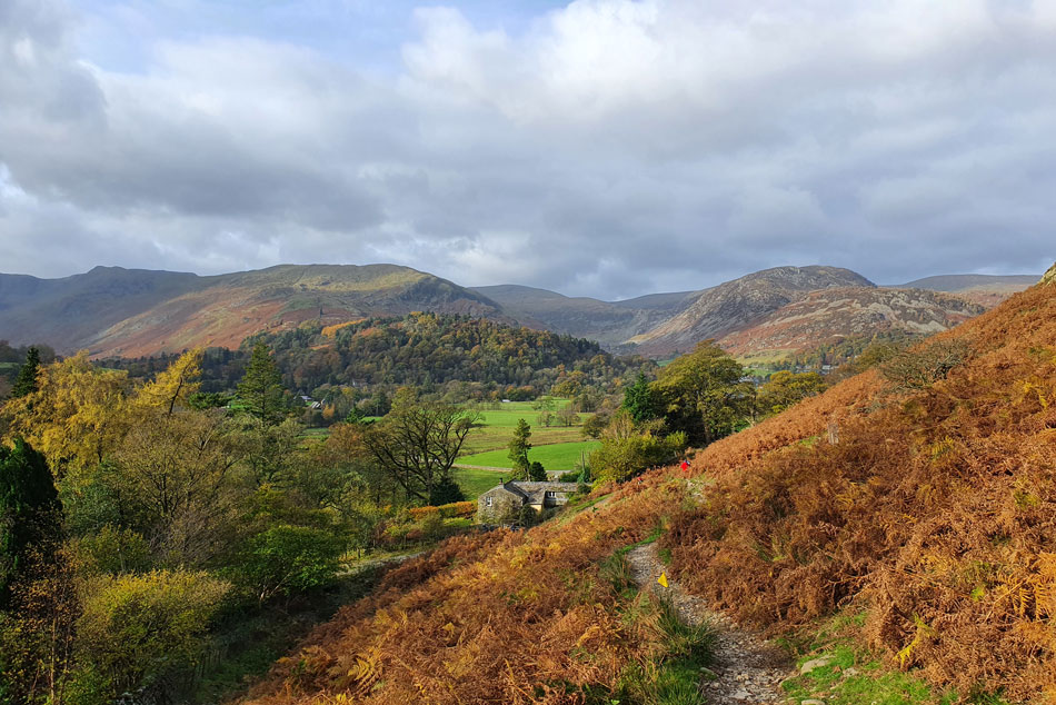
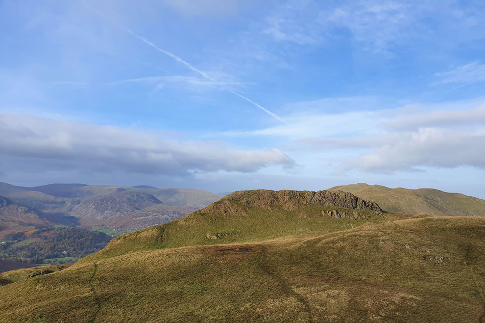
| A similar view taken from the summit shoulder of Angletarn Pikes this time with High Dodd coming into view. |
| There's a few different routes up onto the summit but I always like the one which traverses east from the top of Dubhow Beck towards the rear of the summit crags before the final haul onto the summit. Today I passed two lads on the shoulder who over the wind gave me a morning. |
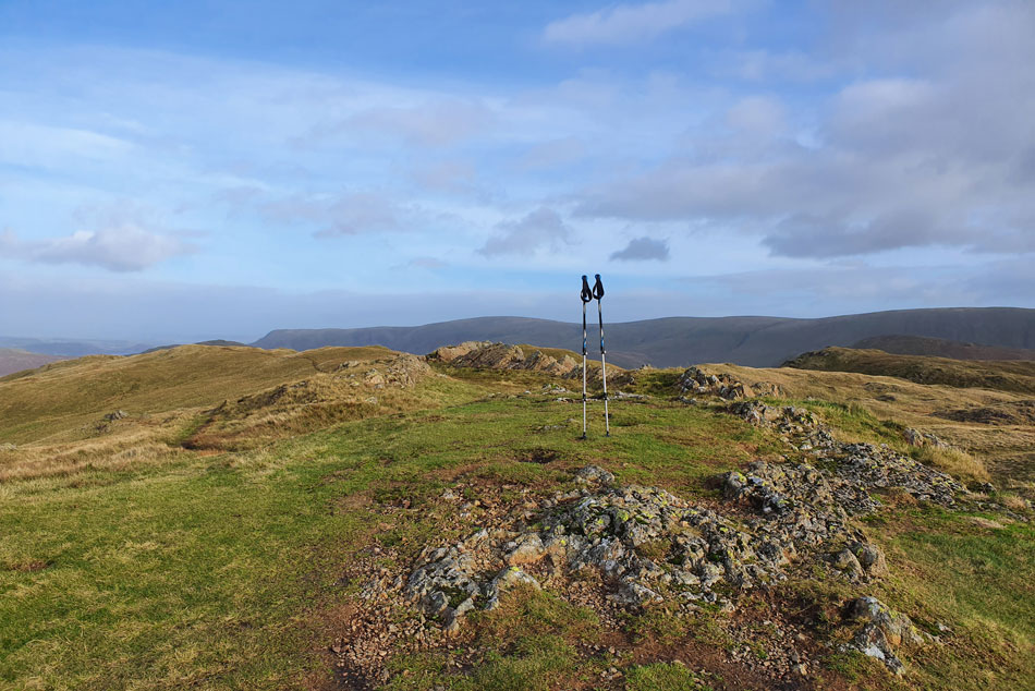 |
| Angletarn Pikes summit. |
With the two lads now making their ascent on the subsidiary summit I had the summit to myself and spent a few moments going over the time I spent here during a rain drenched October day after completing the Wainwrights for the first time. Sadly the cairn has disappeared which I buried a champagne cork in marked with the the numbers 214.
The wind was playing havoc and summit time had to be kept to a minimum as I billowed warm air into cupped fist. I took out my anemometer and held it out my arm wailing in the wind and recorded a maximum wind speed of 37.7mph with a temperature of 5.3°C which was a far cry from what the experts had forecasted of -15°C in the windchill, perhaps over Skiddaw I thought but once off the summits a mild normality returned here. |
 |
| Looking back on the north ( main summit) of Angletarn Pikes from the south summit. |
| I left the main summit and thought twice about making the subsidiary summit but after a few minutes minus the wind I thought it would have been rude not too. By now the two lads were making their way down to Angle Tarn leaving me in the winds firing line once again. I didn't bother to check the wind speed I just knew it was flipping windy. |
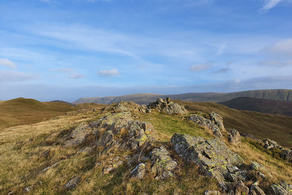 |
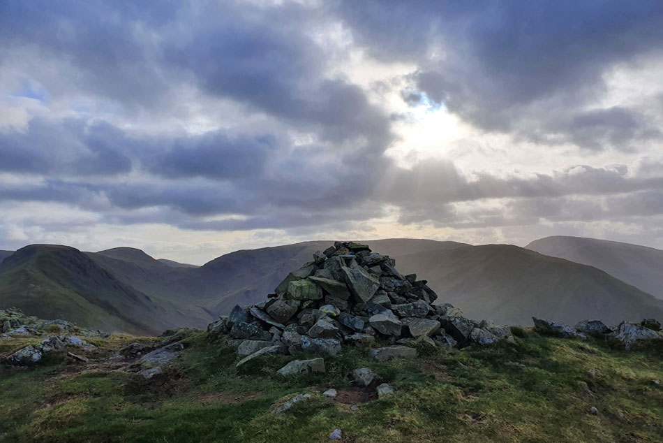
| Angletarn Pikes south summit. |
| Just to confuse matters the south summit has always had a rather substantial cairn. |
 |
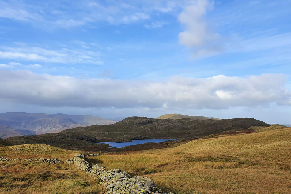
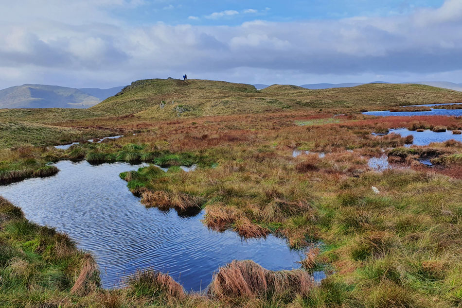
| Descending towards Angle Tarn. |
| Around the same time it decided to cloud over which also caused the temperature to drop. |
 |
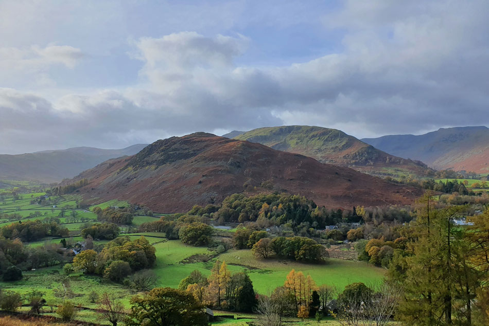
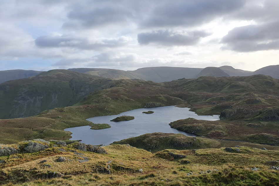
| As I left the path for Brock Crags... |
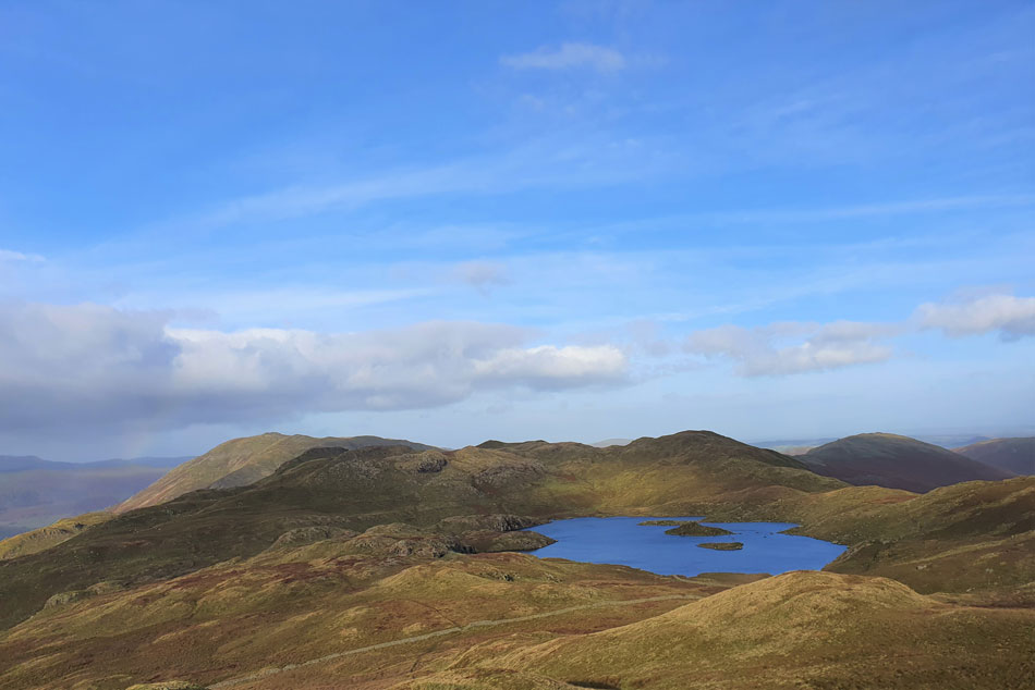
| ...the sun has come back out. Here looking back on Angletarn Pikes south summit and Angle Tarn with Place fell in the distance. |
 |
| Approaching Brock Crags summit. |
| I'd somehow managed to catch up with the two lads I'd seen back on Angletarn Pikes who were just about ready to leave Brock Crags summit. |
 |
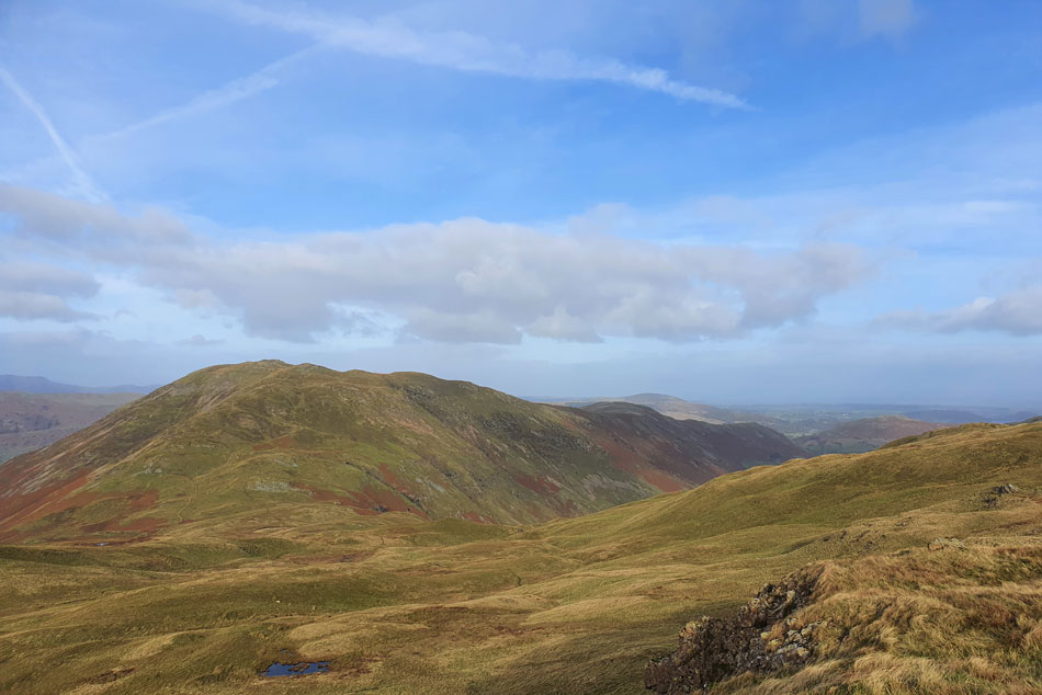
| Views over Pasture Bottom towards Gray Crag, Thornthwaite Crag, Caudale Moor, Hartsop Dodd and Red Screes from Brock Crags. |
| Despite recent rains I'd managed to keep my boots dry that was until I crossed the summit shoulder which as you can see in the previous image was holding onto a lot of water. |
 |
| Place Fell, Angletarn Pikes, Angle Tarn and Beda Fell from Brock Crags summit. |
| I was back into the winds firing line which by now felt considerably stronger causing my eyes to stream. Summit time was kept to a minimum as I gazed down on Brothers Water while watching the wind dance across its surface. |
 |
| Descending the footpath above Hayeswater Gill. |
| The plan was to return to Patterdale via Calf Close, a steep wooded area linking Hartsop with Patterdale. It's a path I've never used before and was looking forward too. Here I stop to look back on The Knott, Rampsgill Head, High Street, Thornthwaite Crag and of course Gray Crag. |
 |
| Views into Pasture Bottom. |
| Capturing Gray Crag, Thornthwaite Crag, Thresthwaite Mouth, Stony Cold Pike, Caudale Moor and Hartop Dodd. |
 |
| Brothers Water and Hartsop above How fill my horzion as I pass above Hartsop towards Calf Close. |
| While over in the distance we have Dove Crag, Hart Crag, Fairfield, Cofa Pike, St Sunday Crag and Gavel Pike. |
 |
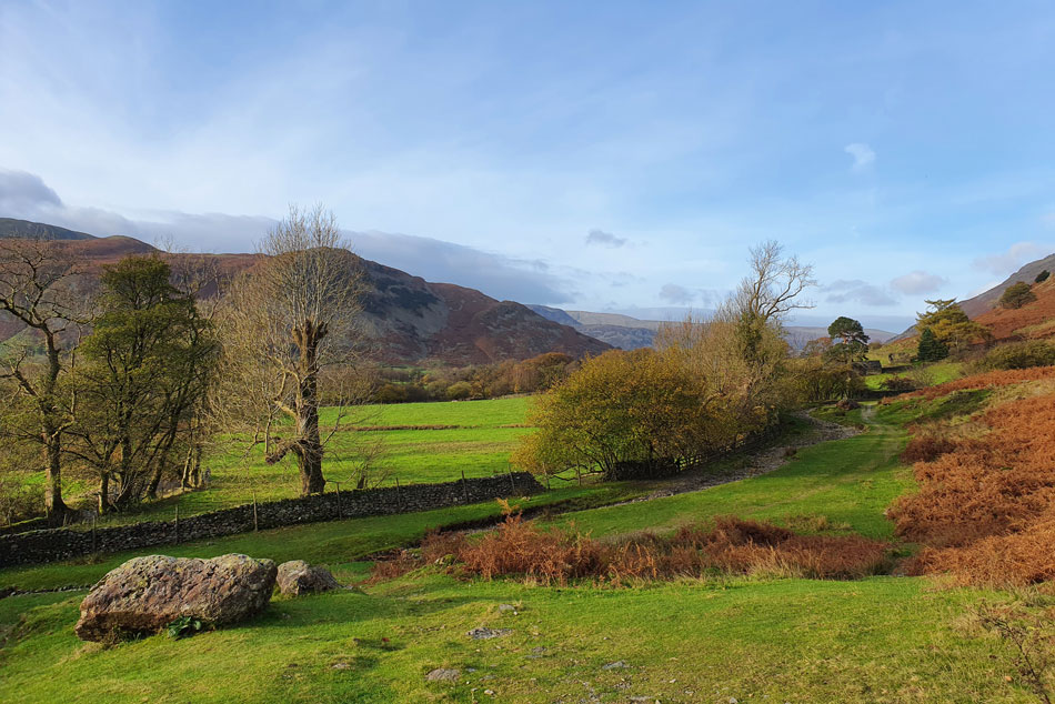
| Descending towards Calf Close. |
| The path does climb a little as it flanks above Hartsop but soon begins its descent towards Calf Close, by now it's feeling more like Spring than Autumn. |
 |
| Brothers Water and Hartsop above How. |
| With the outskirts of Hartsop below. |
 |
| Views over Brothers Water. |
| Towards Middle Dodd, Red Screes, High Hartsop Dodd, Little Hart Crag, Dove Crag, Hart Crag and Hartsop above How. |
 |
| Heading along Hause Gate towards Beckstones. |
| After descending through Calf Close the path lead me onto familiar territory as I took in the Autumn colours towards Beckstones. |
 |
| Dubhow Crag dominates the view. |
| |
 |
| Through the trees... |
| ....Arnison Crag appears. |
 |
| Here looking back on Angletarn Beck. |
| With Lingy Crag dominating from above. |
 |
| More views taking in Angletarn Beck and Lingy Crag. |
| |
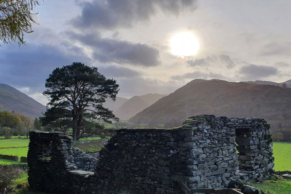 |
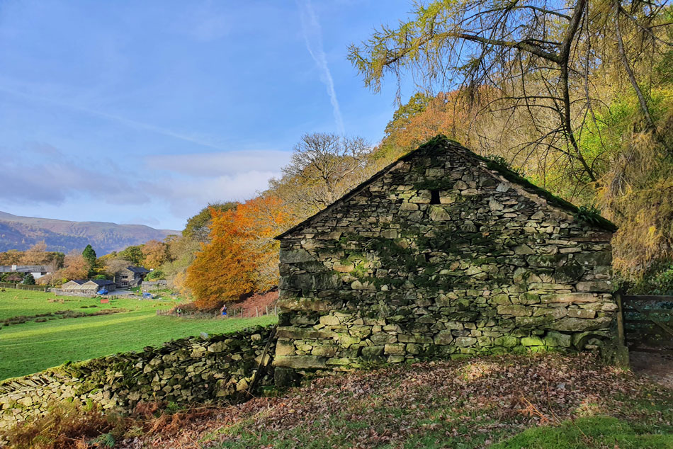
| Passing the ruined stone building close to Dubhow Beck. |
| Which was looking quite atmospheric in the afternoon light. |
 |
| Continuing towards Beckstones. |
| |
 |
| Beckstones. |
| By the time I arrived at Beckstones the fell race was now at the return stage where fell runners were descending Boredale Hause on the Beckstones side before returning towards Patterdale. |
 |
| Crookabeck bound. |
| The route was marshalled all the way back to Patterdale with marshals cheering and clapping as the runners went by. One marshal who I passed just after Beckstones cheered on a fell runner as she passed and continued clapping as I followed seconds later, we both shared a laugh at that one. |
 |
| Lovely autuminal colours. |
| As I make my way towards Crookabeck. |
 |
| Looking towards Rooking from just outside Crookabeck. |
| I stopped to chat with one marshal who was standing by the barn at Crookabeck, a Norwegian fellow who spoke perfect English. |
 |
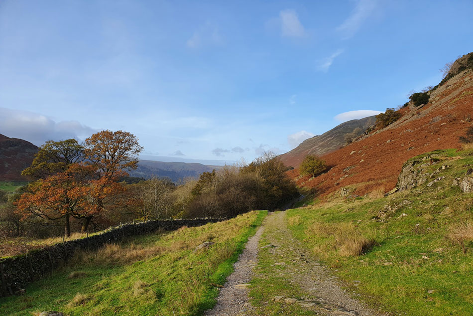
| Views over Rooking. |
| If I'd have known the forecast would have been this good I'd have planned this walk days ago. What a cracking day it's been all be it windy across the tops. |
 |
| Back at Patterdale. |
The fell runners continued to stream past as I crossed the bridge over Goldrill Beck before heading back into Patterdale by which time the wind seemed to have strengthend but it didn't seem to put off the fell runners nor me for that matter. The walk was almost over and I had that feeling you only get after a great walk which left butterflies somersaulting in the pit of my stomach.
I returned to my car finding the fell runners car still parked behind mine as I began to kit down as the wind buffered the open tailgate. It was still bright but later the forecast would return to wind and rain and if I'm honest I actually feel the change happening as I sunk into the drivers seat while letting my ears adjust to the silence for a few seconds before turning the key and heading for home. |
|
| |
| Back to top |
 |
|