Rossett Pike from Stonethwaite

10th July 2021

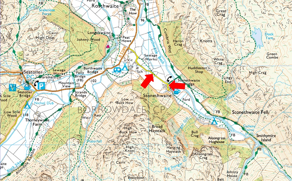
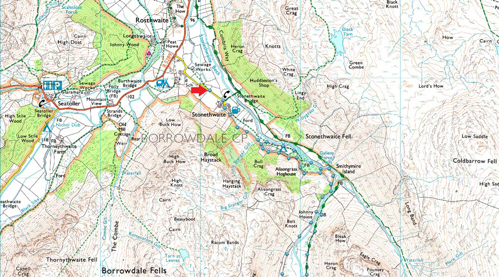
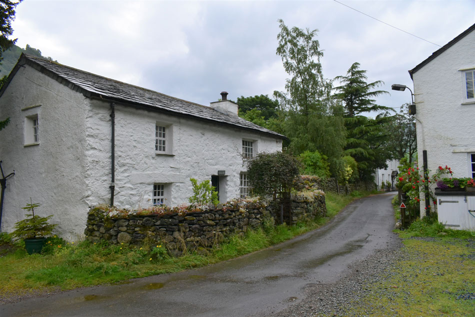
Back in the middle of June when David, Rod and I walked Clough Head we were trying to arrange a rather epic tour of the Langdale Pikes but was put off by how busy Lakeland is right now particularly Great Langdale so it was suggested we start the walk from either Grasmere or Stonethwaite. Stonethwaite won the toss and up until Thursday evening we had a green light forecast which steadily got worse before agreeing our Langdale Pike walk deserved better than the forecast we'd been dealt.

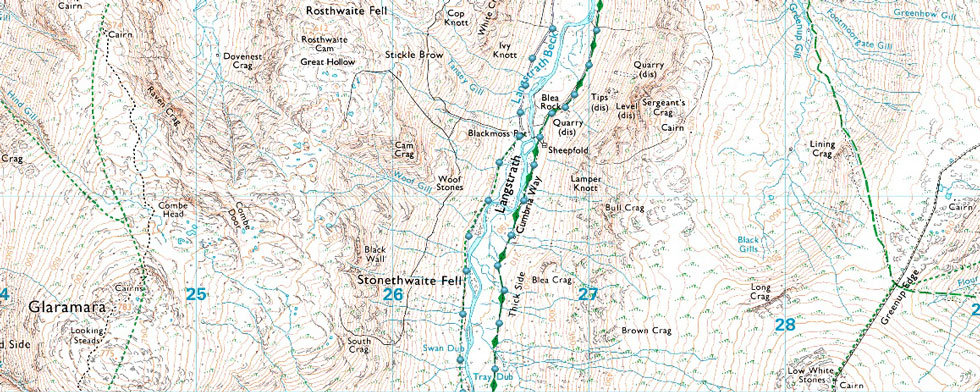
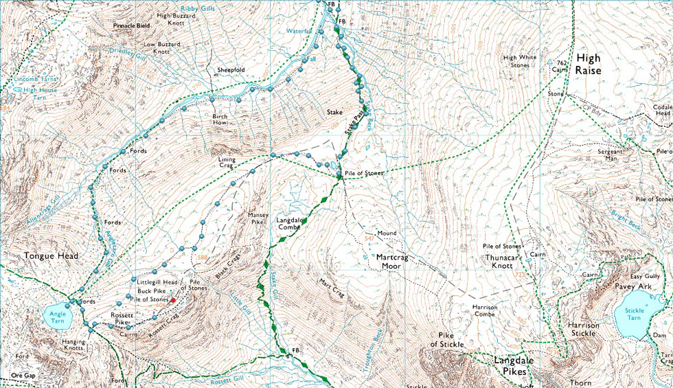
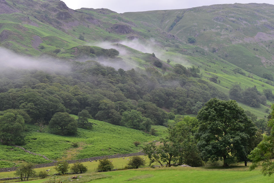
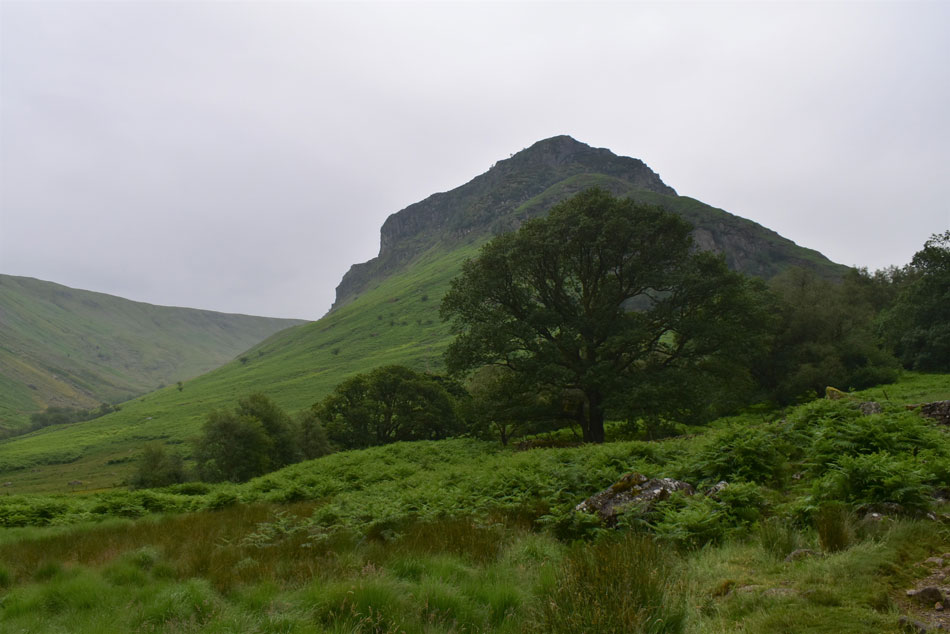
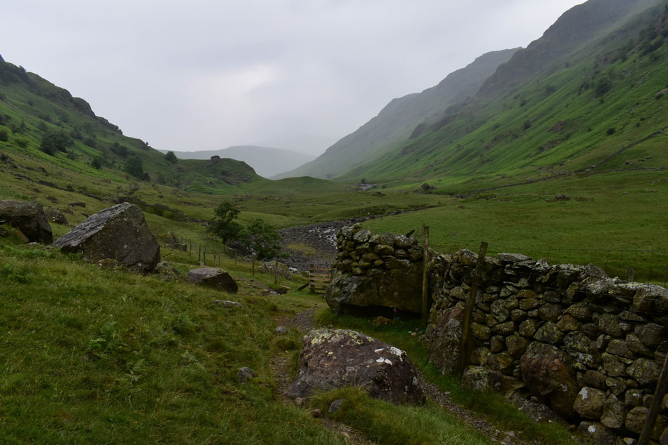
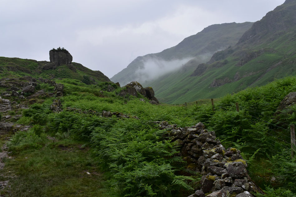
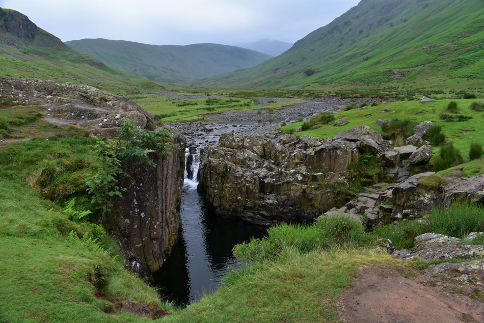
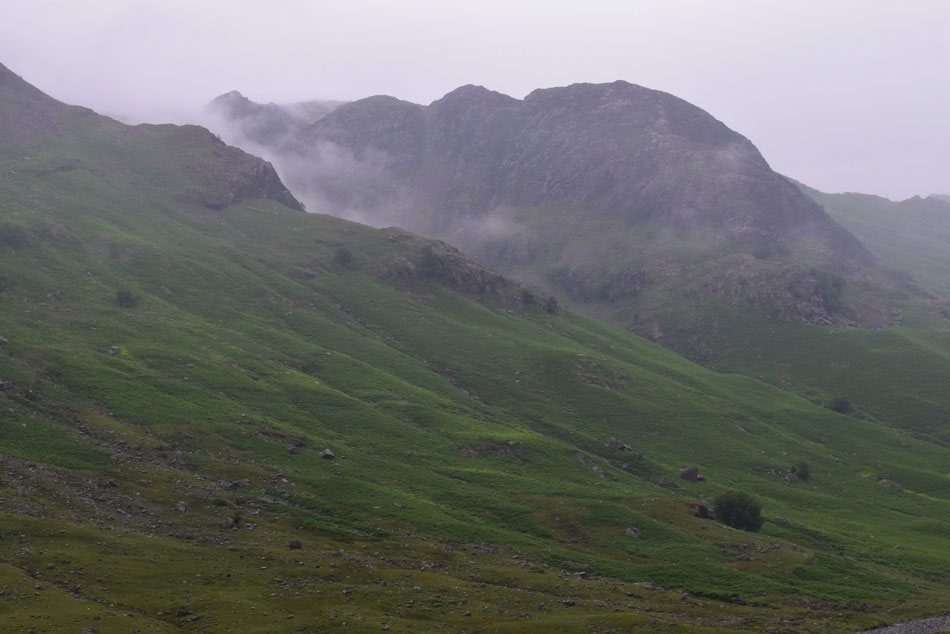
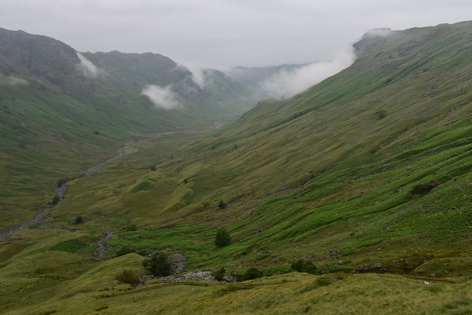
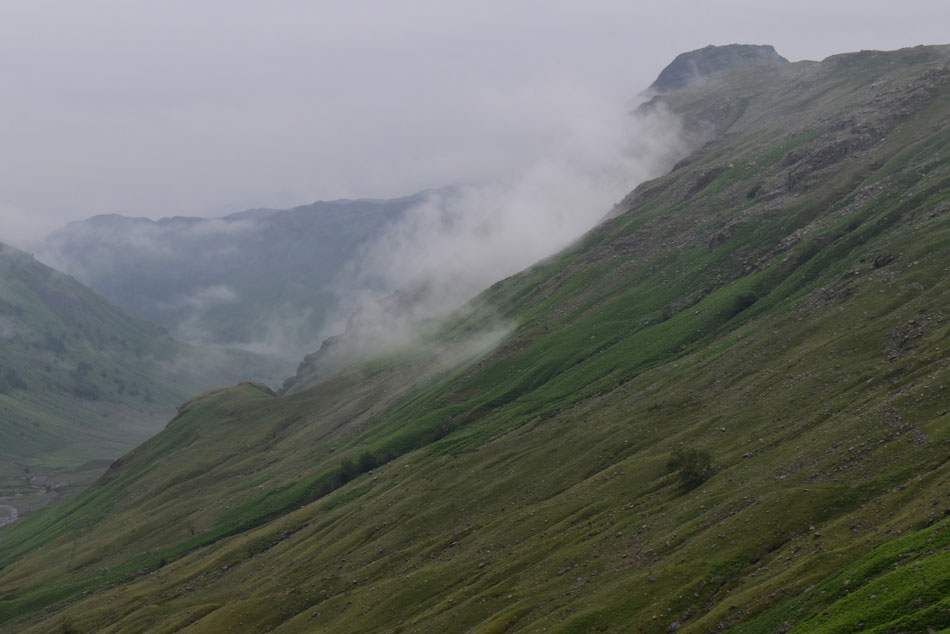
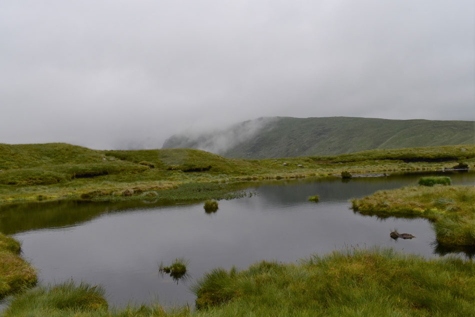
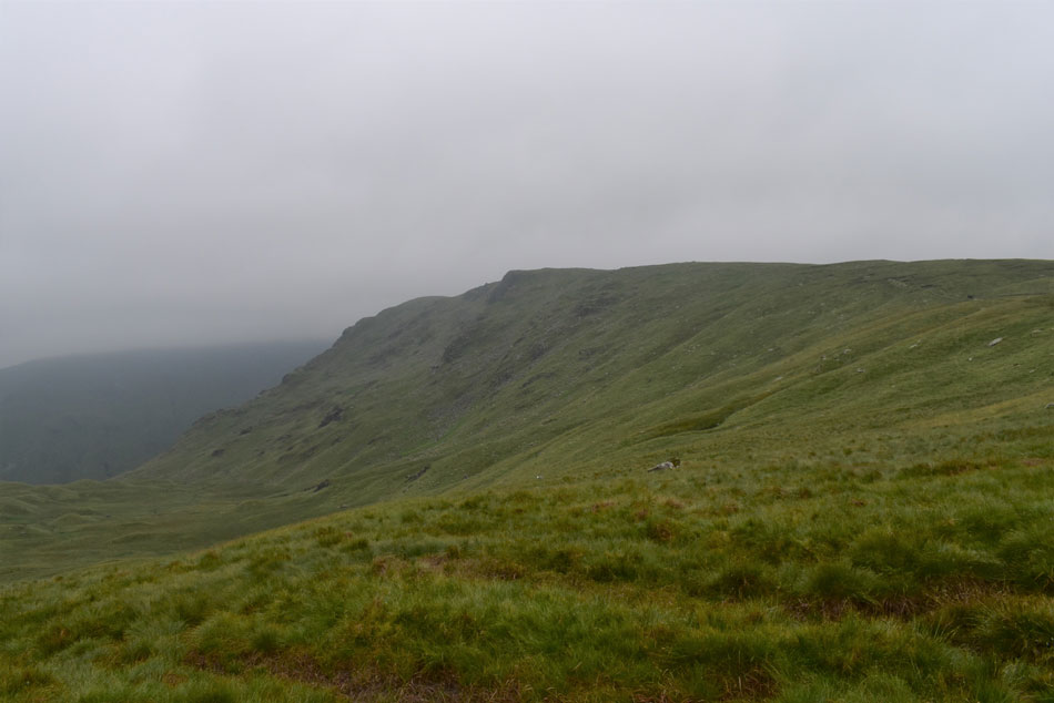
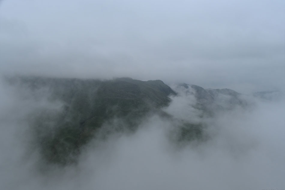
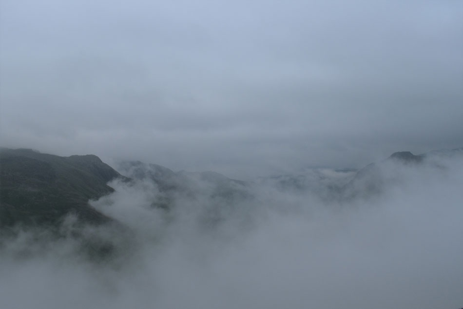
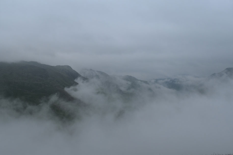
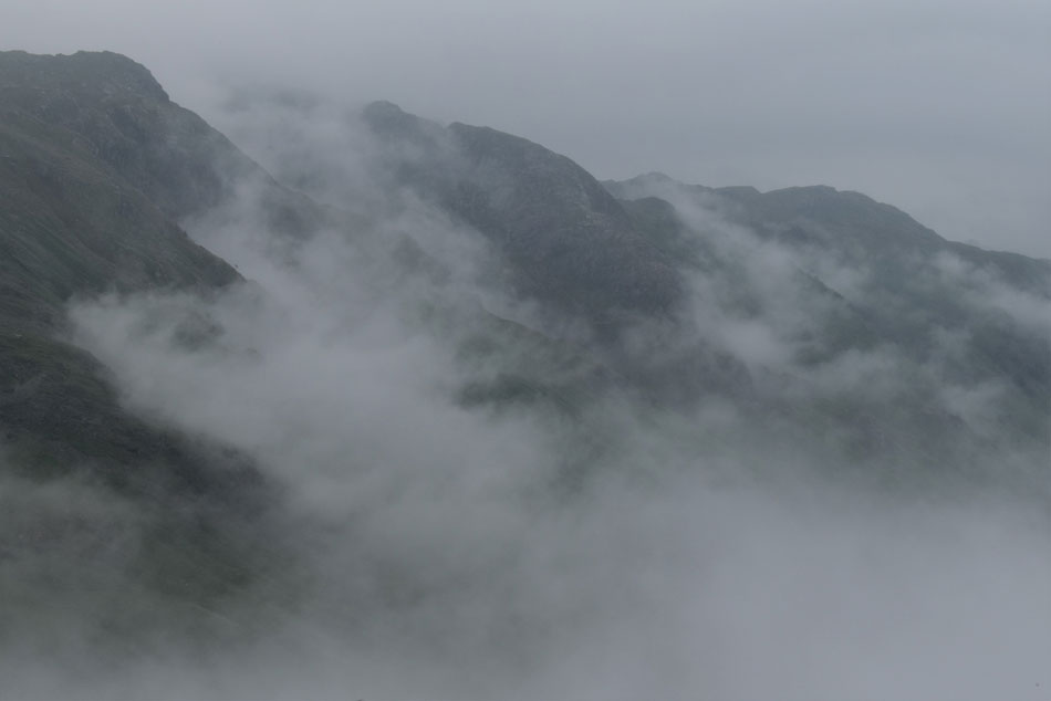
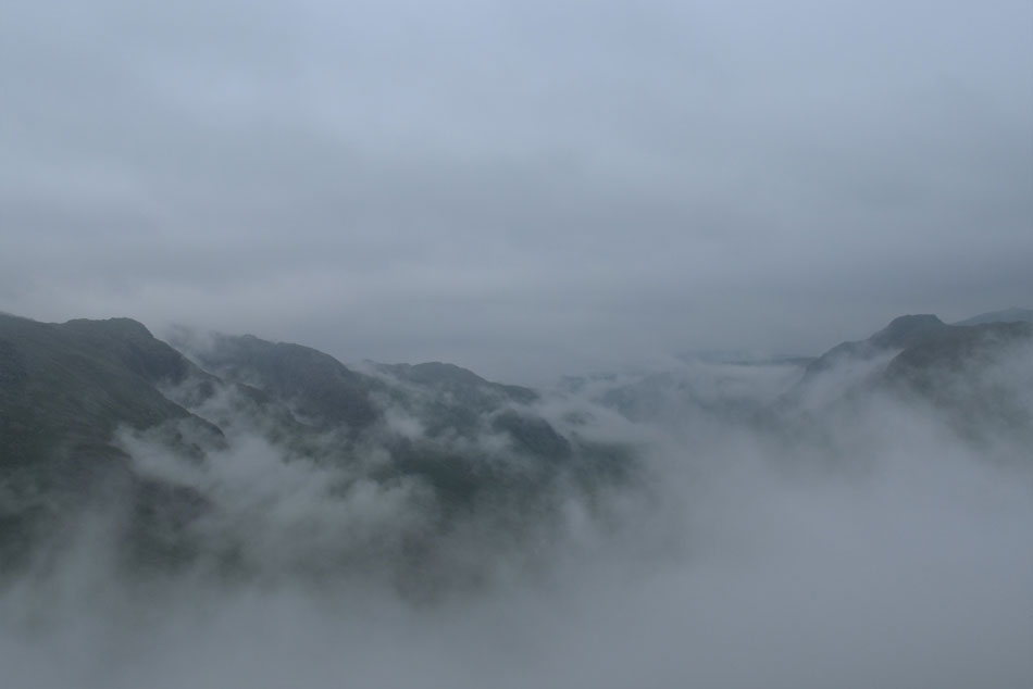
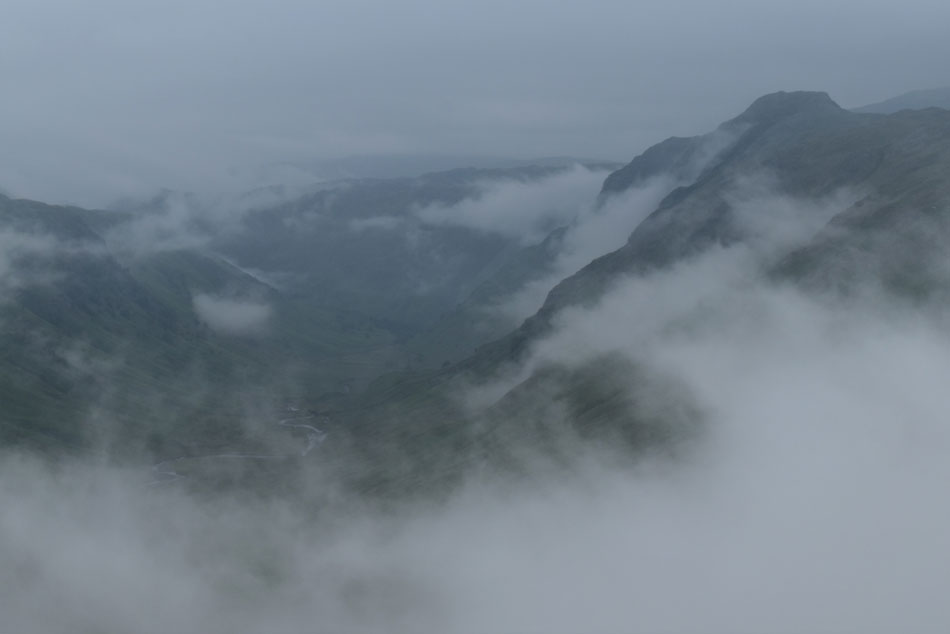
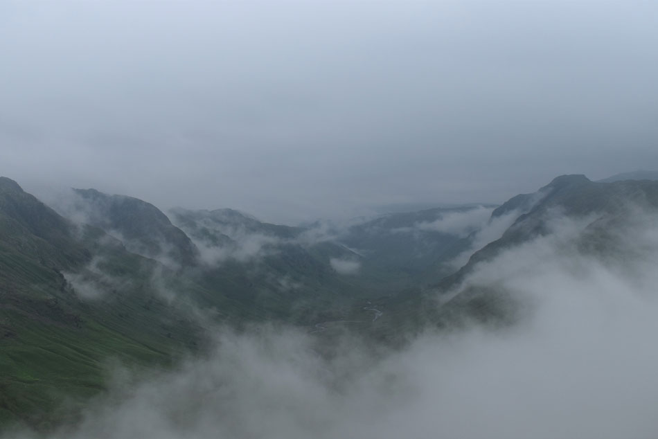
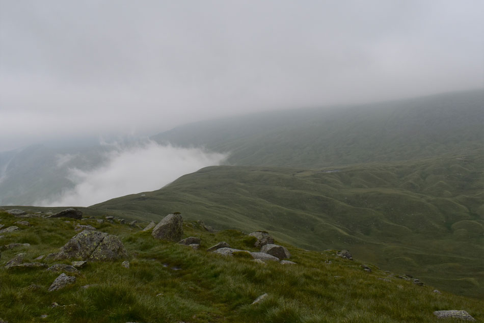
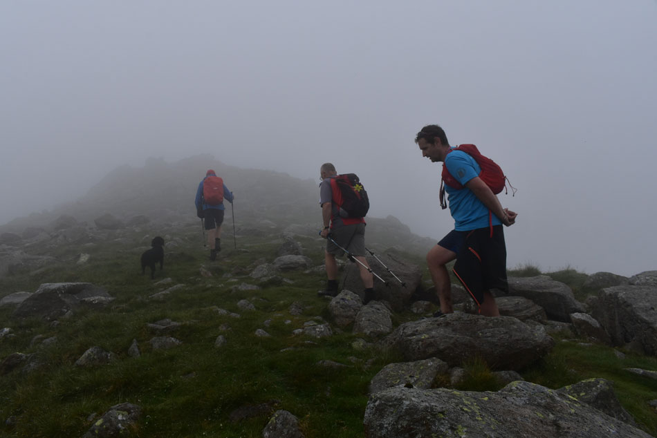
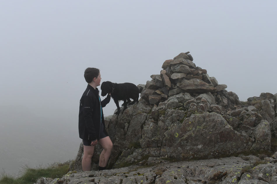
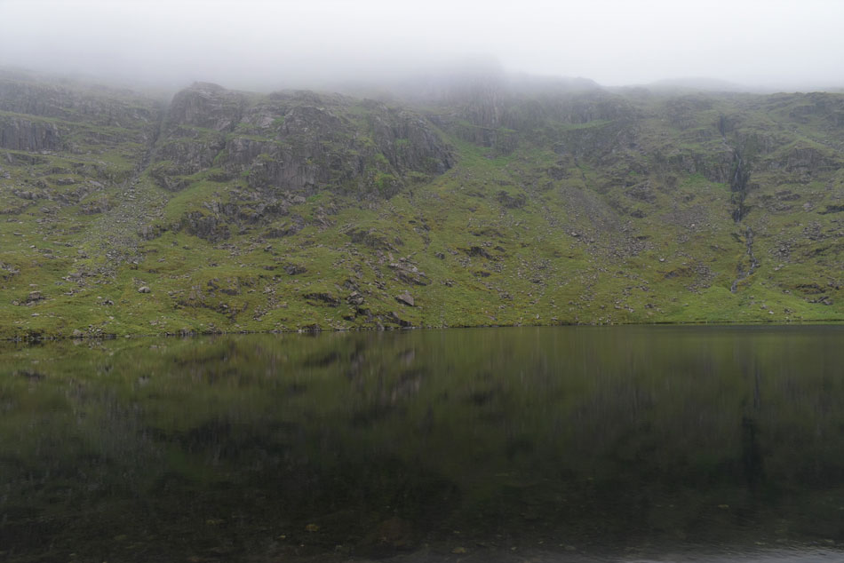
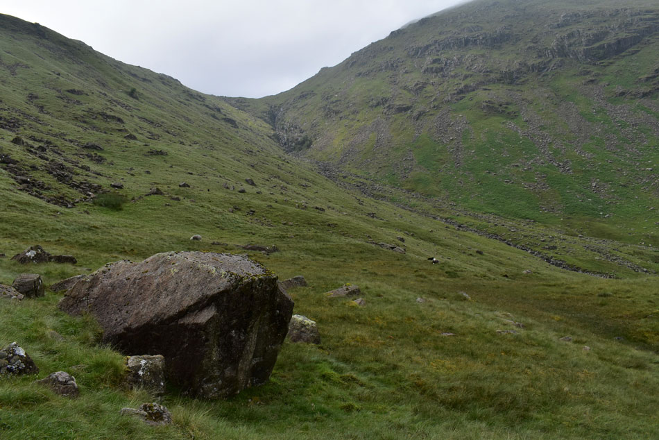
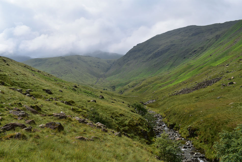
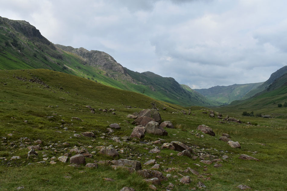
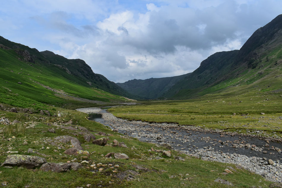
Rod came up with this plan B belter, Rossett Pike from Stonethwaite which is of equal mileage less around eight summits. With the forecast worsening waterproofs were packed and used in anger during the best part of the morning but at least we weren't exposed which made for a walk where we could dawdle through the Langstrath valley while catching up and putting the world to rights. It was during my Wainwrights in 30 Walks project did Rod and I last visit Rossett Pike which we seemed to recall it was was lashing it down then too only for the sun to come out just after midday, it's funny how things turn out having experienced a similar forecast today only with an added twist which non of us had expected.

 
Wainwright Guide Book Four
The Southern Fells
Perhaps to be strictly correct, Rossett Pike and the fell of which it is part should be regarded as the north-east shoulder of Bowfell continuing from Hanging Knotts to Langstrath.


Overview
Ascent: 2,316 Feet 706 Metres
Wainwrights: Rossett Pike
Weather: Overcast To Start Rain Arriving Mid To Late Morning. Brightening Up Afternoon, Cooler Over The Summits. Highs of 20°C Lows of 15°C
Parking: Parking Spaces, Stonethwaite
Area: Southern
Miles: 12.5
Walking With: David Hall, Rod Hepplewhite, Tim & James Oxburgh
Ordnance Survey: OL6
Time Taken: 6 Hours 45 Minutes
Route: Stonethwaite - Langstrath - Blea Rock - Blackmoss Pot - Stake Pass - Rossett Pike - Angle Tarn - Angletarn Gill - Langstrath - Tray Dub - Blackmoss Pot - Stonethwaite Campsite - Stonethwaite
 

Parking Details and Map
Nearest Post Code: CA12 5XG
Grid Reference: NY 260513 (Stonthwaite School) - NY 262 513 (Next to Phonebox)
Notes: There are two places to park in the village of Stonethwaite the first one being as you head into the village itself just after the school with parking for up to three cars, further into the village next to the red phone box there is a small parking area with room for up to half a dozen cars. Both sites are ideal if heading into the beautiful Langstrath valley, Eagle Crag or Sergeants Crag. My advise is to arrive early to secure parking places and you won't be disappointed. Parking is free,


Map and Photo Gallery


Stonethwaite village 08:00am 15°C
As expected being able to park at the spaces next to the phone box was going to be difficult so we parked at one of the lay-bys just outside the village. David and Rod had already arrived with Tim and James following just after I had landed. It had been raining and the air felt humid so for now waterproofs are tucked into packs.

Most summits are cloud free which was the case as I drove along the A66 sighting Blencathra, Clough Head, Skiddaw and Grisedale Pike, although judging by how empty the lay-by was at Scales most folk seem to have been put off by the forecast. Laced up and with cars locked we left the lay-by and passed through a sleepy Stonethwaite while trying not to be reminded that this is the middle of July and not the end of November.


Still keeping those memories alive this morning.
 

Pockets of mist lingering over Stonethwaite Fell.
We followed the track out of Stonethwaite and passed the campsite where only a handful of tents were pitched the most peculiar being a tent that was perched on the roof of a car with ladders ground up leading to its entrance...It would be interesting to see how emergency pee's went in the middle of the night while your four foot off the ground in complete darkness.

Eagle Crag appears.
With Greenup Edge in the distance.

Heading towards Blea Rock, Langstrath valley.
We crossed Langstrath Beck at the wooden footbridge while on the other side of the valley the sound of a farmers quad bike broke the silence.

Approaching Blea Rock, Langstrath.
Continuing to follow the path into the valley we soon pass below Blea Rock, a huge two story sized boulder on the lower slopes of Sergeant's Crag which would have been deposited here during the last ice age.

More lingering mist on the slopes of Cam Crag.
It hasn't started to rain yet but it's certainly in the air as we pass below Cam Crag while heading towards Blackmoss Pot.

Rossett Pike from Blackmoss Pot.
This is Tims and James first visit to Blackmoss Pot who plan to have a dip (if the forecast permits) during our return through the valley later.

Cam Crag.
It started to rain first lightly then persistent as we made our way towards the bottom of Stake Pass, trouble was it was too wet not to add a waterproof jacket but too hot and sticky while wearing one...I guess we're just gonna have to sweat this one out.

Looking back into Langstrath from the ascent of Stake Pass.
With Cam Crag seen centre and Sergeant's Crag seen over on the right. BTW it was still raining as I took this photo.

A close up of the gathering mist below Sergeant's Crag summit.
It was difficult to take photographs of the mist but I did stop to take the odd photo including this one from Stake Pass each time losing the guys due to my camera bag rain cover which didn't like being taken off or put back on for that matter...I blame the user!

Rossett Pike from the Tarn at the top of Stake Pass.
It stopped raining as we approached the top of Stake Pass by which time all five of us had taken a good soaking but nevertheless jackets were removed to enable the gentlest of breezes to help cool us down. It has rained on and off during the last week but that didn't reflect how saturated it was underfoot around the top of the pass where it would seem it had been raining non stop all month "that's good old mother nature soaking up the rain so as not to flood the valley" ...aye no truer word Rod.

Looking over Langdale Combe towards Rossett Pike.
We had a wander around the tarn before spotting two fell runners running a pathless descent from Martcrag Moor who soon pass us and 'mornings' were shared. We continued to follow the path before Tim yelled "look at that"

Cloud inversion gatherling over Langstrath.
We couldn't believe what was unfolding before our eyes and to get a better view we left the path and wandered over to the edge of the fell side.

Then stood in awe.
 

While watching the cloud gather momentum.
 

Then as quickly as it came...
 

The cloud started to disband.
 

What a treat.
 

I utterted the words...
"If it starts to lash it down from here until the end of the walk I will still go home a happy boy"

Looking back towards the top of Stake Pass.
As Rod started to sing the new England anthem Sweet Caroline at the top of his voice!

Approaching Rossett Pike summit.
With the cloud inversion behind us we climbed into cloud below Black Crags which thickened with height gained. The last thing we thought we would hear was rave music playing at full blast as we passed a group of wild campers where it's fair to say we each struggled to keep tempers calm. We left the site of the wild camp and with it the inconsiderate wild campers and soon the rave music faded into the distance to be replaced by silence.

Continuing along a vague path we hit boulder and decided to make a pathless ascent linking up with the path above Angle Tarn about half way up.


James and Pearl, Rossett Pike summit.
We filed our way towards the summit cairn where it was agreed to take a short break. I opened a pack of chocolate peanuts which I'd forgotten about from when I walked Red Pike last week which I shared into cupped hands all except for David who wanted his share emptied into the bottom of his T-shirt which he held in a bowl like fashion. Everyone cracked off laughing while Rod went off to explore the views emerging from behind the cairn five minutes later wishing he hadn't bothered.

Just as we were about to leave gaps in the cloud started to open up and we sighted walkers ascending towards the top of Rossett Gill from the Mickleden valley. As quickly as the cloud parted the cloud drifted back and views where once again lost, a truly mesmerising treat.


Lunch with a view of the clifts and gullies of Hanging Knotts.
We descended Rossett Pike and joined the path at the top of Rossett Gill and continued descent towards Angle Tarn. There was already one walker resting on the other side of the outflow and before we knew it we were joined by a couple then a father and son. Despite there being so many people about most of whom were eating Angle Tarn never lost its calm, what a place.

My lunchtime companion, Pearl.
Sniffing to see if I had any chocolate peanuts left.

Views onto Allencrags Gill.
Fed and watered we left Angle Tarn and started our descent back into Langstrath via Angletarn Gill. The humidity of the valley hit us like a wall and what layers could be removed, were. Rod made a point of taking in the view towards the top of Allencrags Gill, a descent that both he and David used when they were here last vowing "I've done it once and once only!" referring to the descent as 'almost vertical'

View back towards Tongue Head (left) Esk Pike (centre left in cloud) Allencrags Gill (centre) and Allen Crags (right)
We continued descent as the path swayed away from Angletarn Gill before coming back in line at a fork where Angletarn Gill and Allencrags Gill flowed into Langstrath Beck, it was here we crossed Angletarn Gill above the fork by which time the sun was trying its best to make an appearance.

Cam Crag, White Crags and a distant Great Crag from Langstrath.
The sun eventually came out clearing the cloud leaving us to enjoy a hot and sunny walk through the Langstrath valley.

Passing Tray Dub.
Where Tim appeared to be thinking about going in for a dip before thinking "I'll leave it until we reach Blackmoss Pot" now that the sun has come out.

Langstrath from Langstrath Beck.
David spotted them first, a large group of people gathered around Blackmoss Pot which appear to look like rocks in the centre of the photo, we figured there was at least thirty. We walked towards Blackmoss Pot in silence still enjoying our surroundings under the heat of a hot afternoon sun. The nearer we got to Blackmoss Pot the more in numbers we counted but being curious Tim and James had a walk over followed by David, Rod and myself where we found swimmers and sun bathers enjoying the sunshine.

I can speak for all of us when I say we wouldn't want to see anyone not enjoying themselves but the numbers were staggering more so the ones who were sat drinking bottled beer or cans of lager. After watching the swimmers dive bomb into the water everything inside me was telling me it was time to leave and I was soon followed by the guys. Linking back up with the path we walked the last mile back to Stonethwaite while overtaking teenagers most of whom were wrapped in towels. This walk had it all from the beautiful Langstrath valley, to the surprise cloud inversion followed by a hot afternoon sun on our shoulders as we walked back through the valley but I'm not sure I'll ever get used to seeing so many people in one of Lakelands most isolated valleys.


Back to top