Grizedale Head & Nicky Nook

9th December 2020

First let me apologize for the lack of recent updates due to Tier 3 travel restrictions I am currently unable to travel to the Lake District which among many other things is causing me a great deal of stress but I'm managing it the best I can with local walks. I also used the last few weekends to catch up on decorating the house which has kept my mind away from Lakeland if only for a while. I also would like to thank everyone who has emailed me your kind words go a long way.

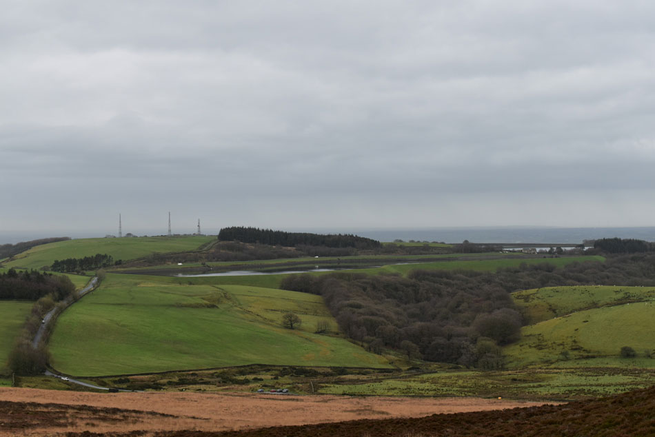
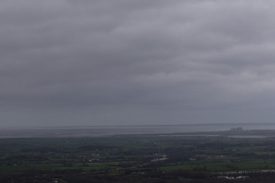
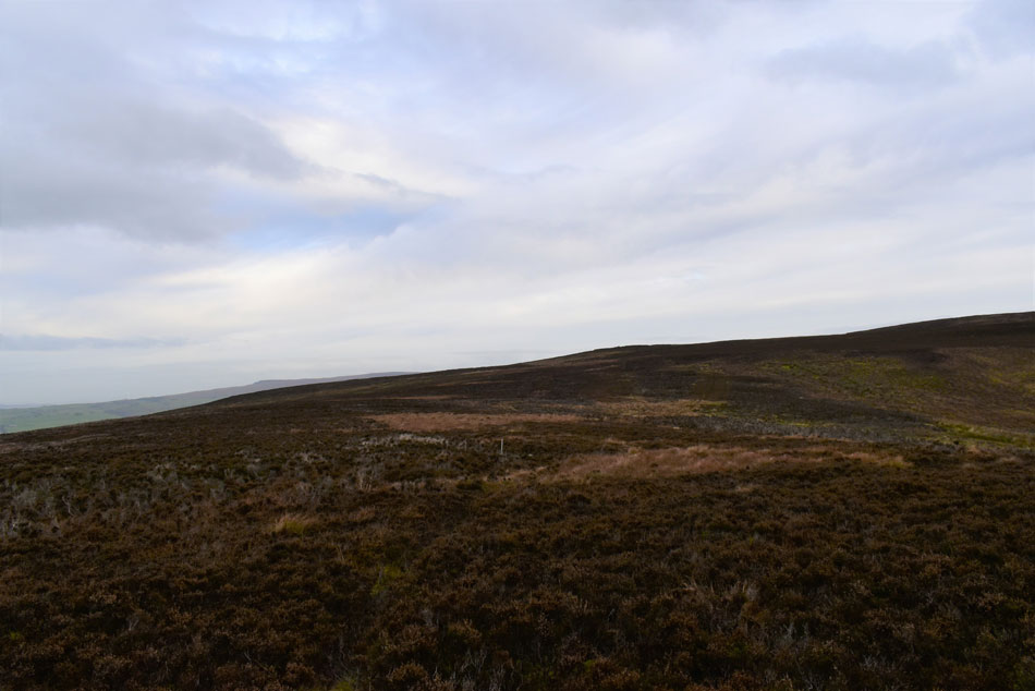
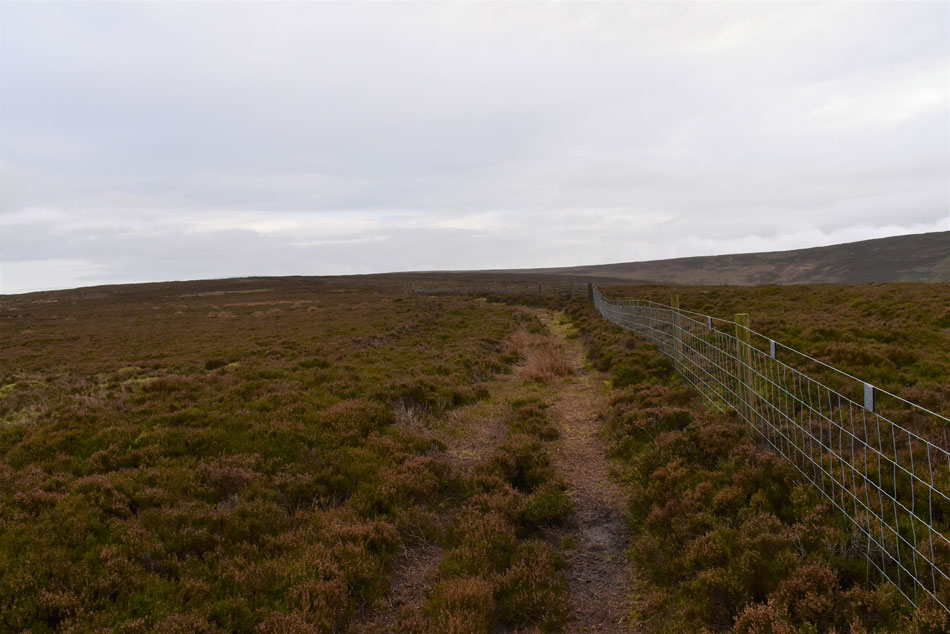
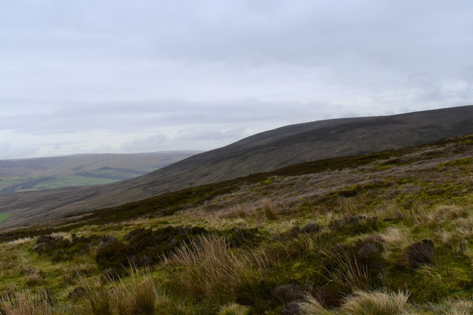
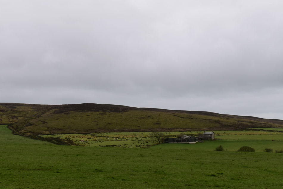
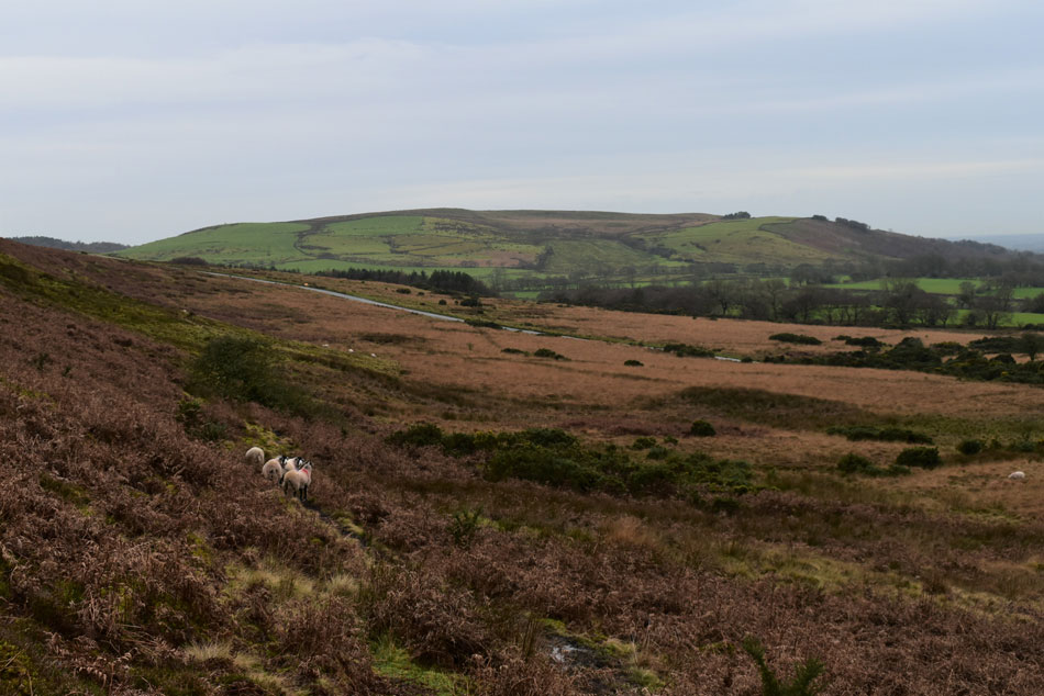
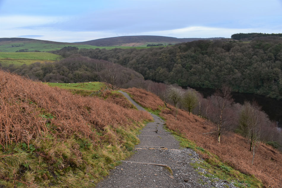
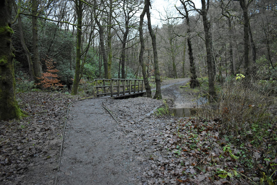
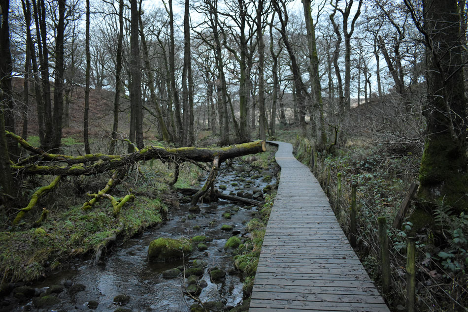
So, back to todays walk in the Forest of Bowland where I will explore Grizedale Head and Nicky Nook located in the east of the district within close proximity to the M6. Much like its neighbors these hills are very quiet and remind me very much of the hills surrounding Wetsleddale in the far east of Lakeland. Paths at times are few and far between so having a pre planned knowledge of your route if your new to a particular area as I am today would be essential.

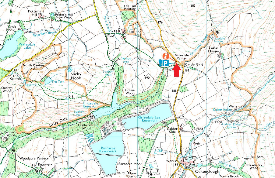
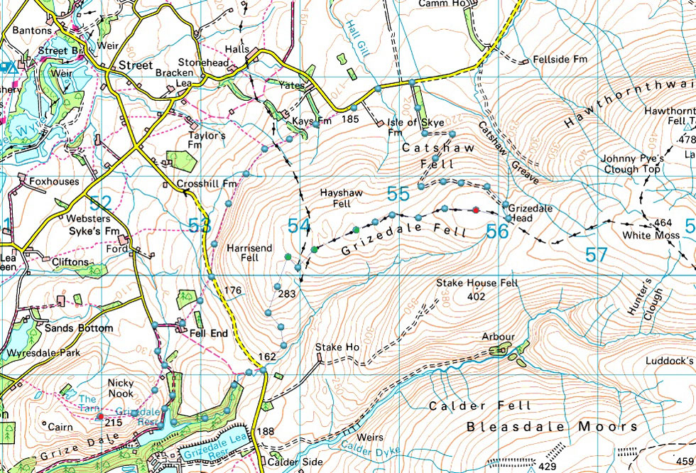
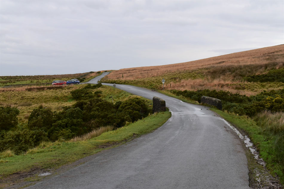
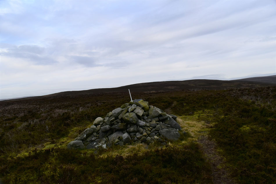
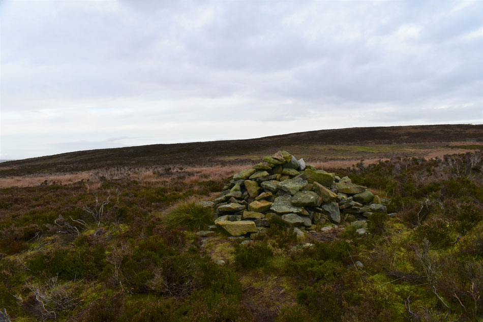
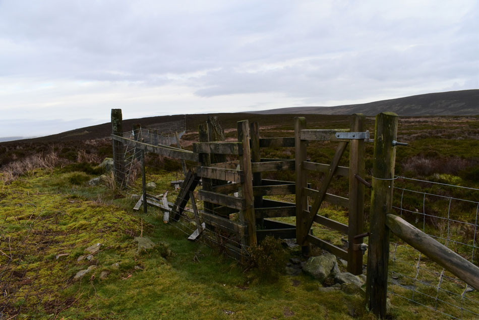
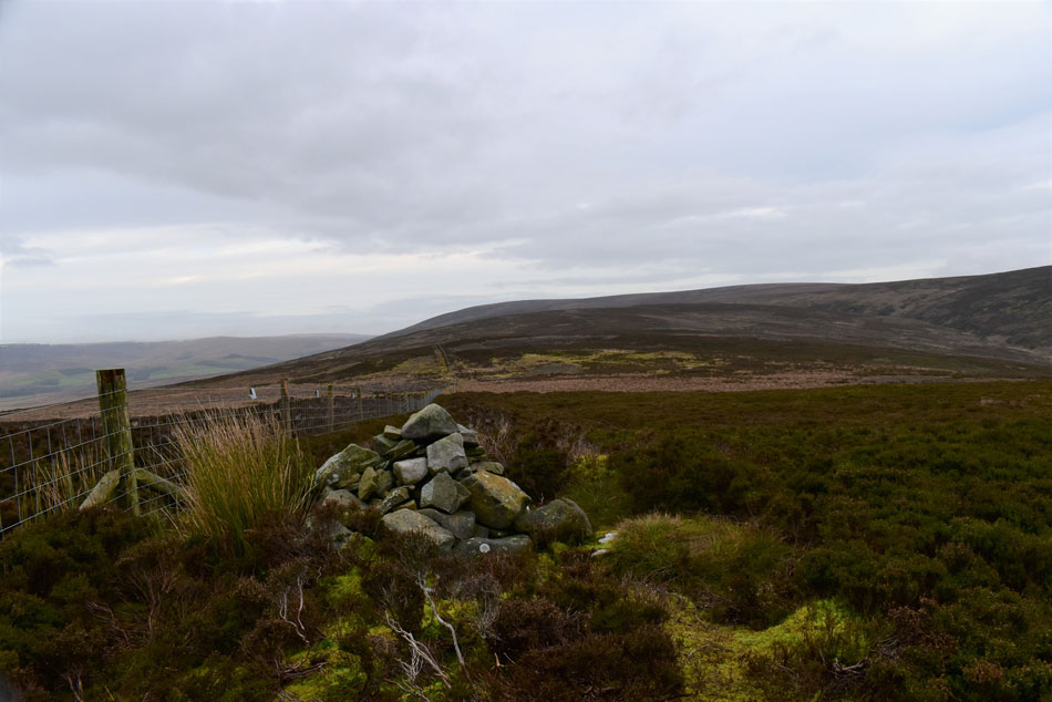
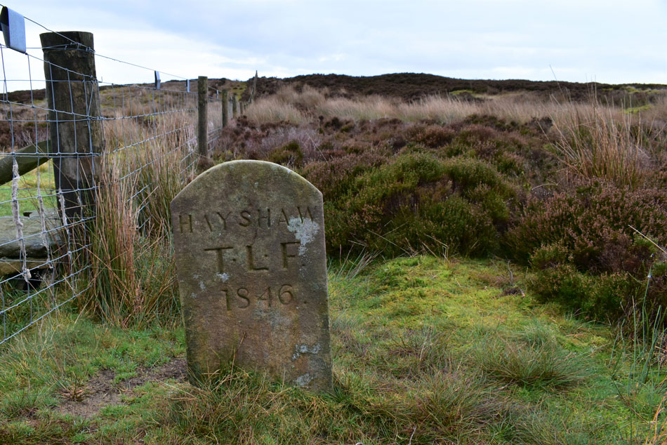
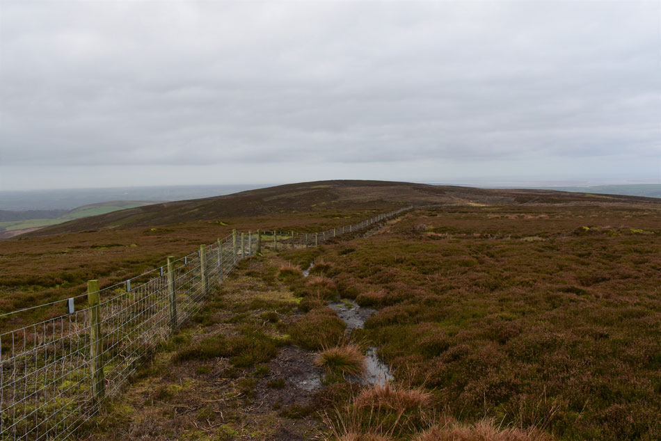
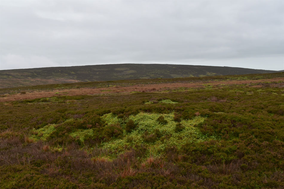
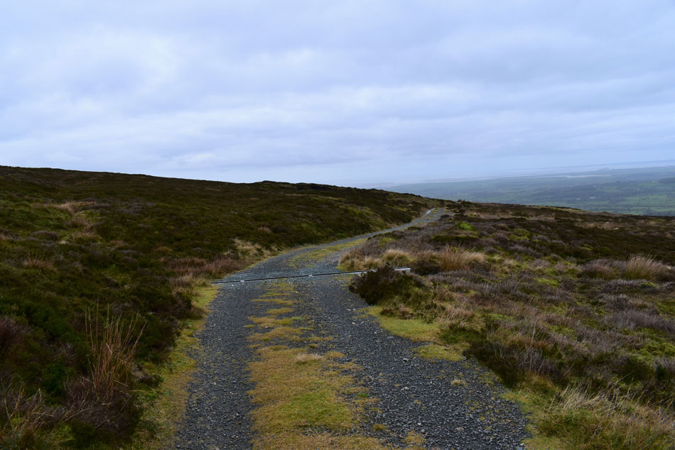
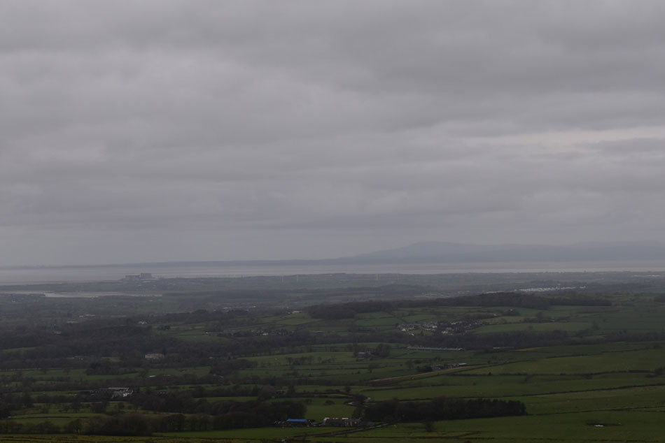
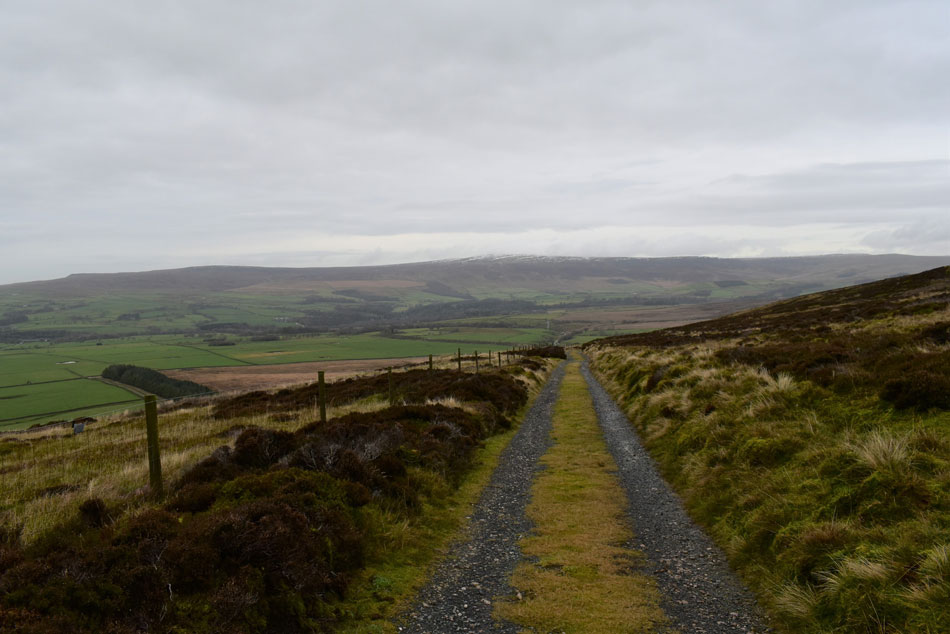
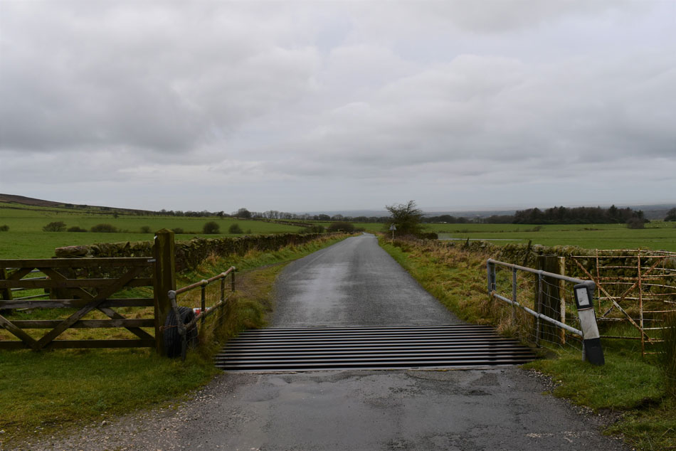
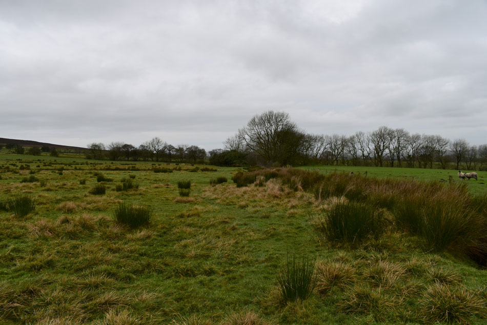
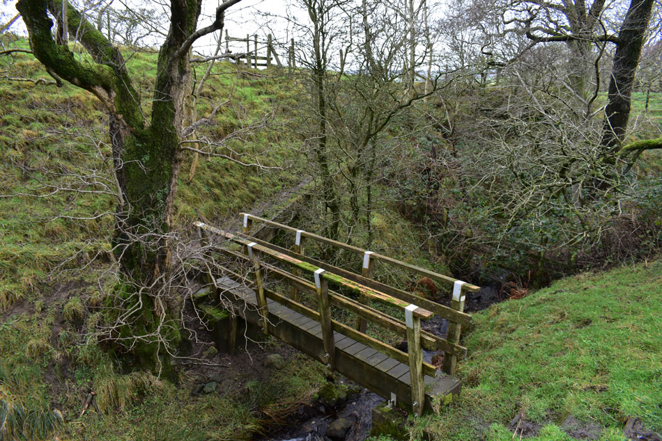
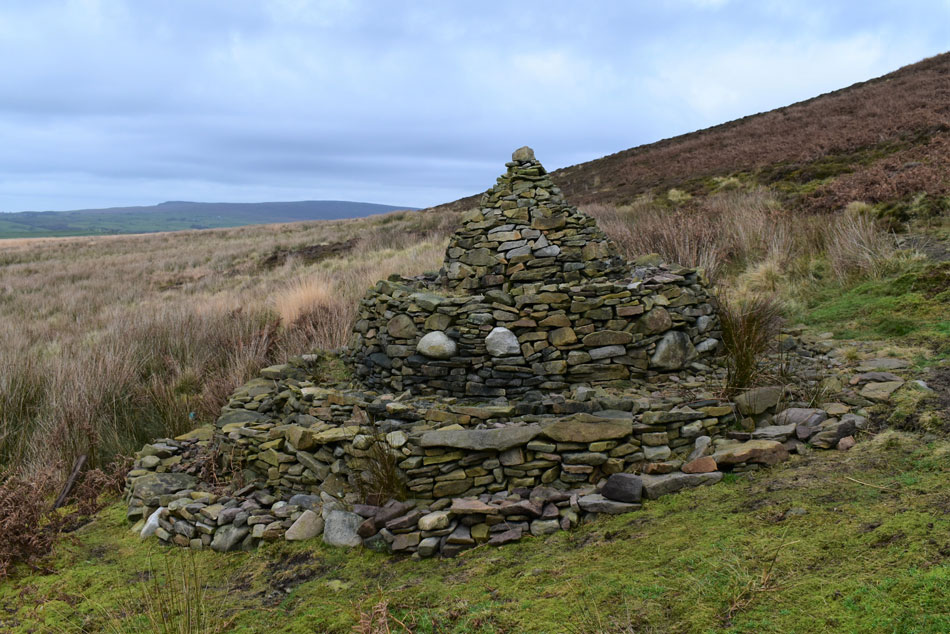
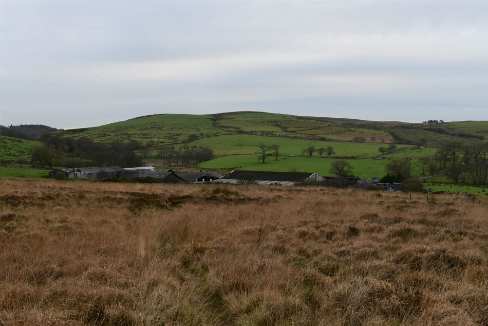
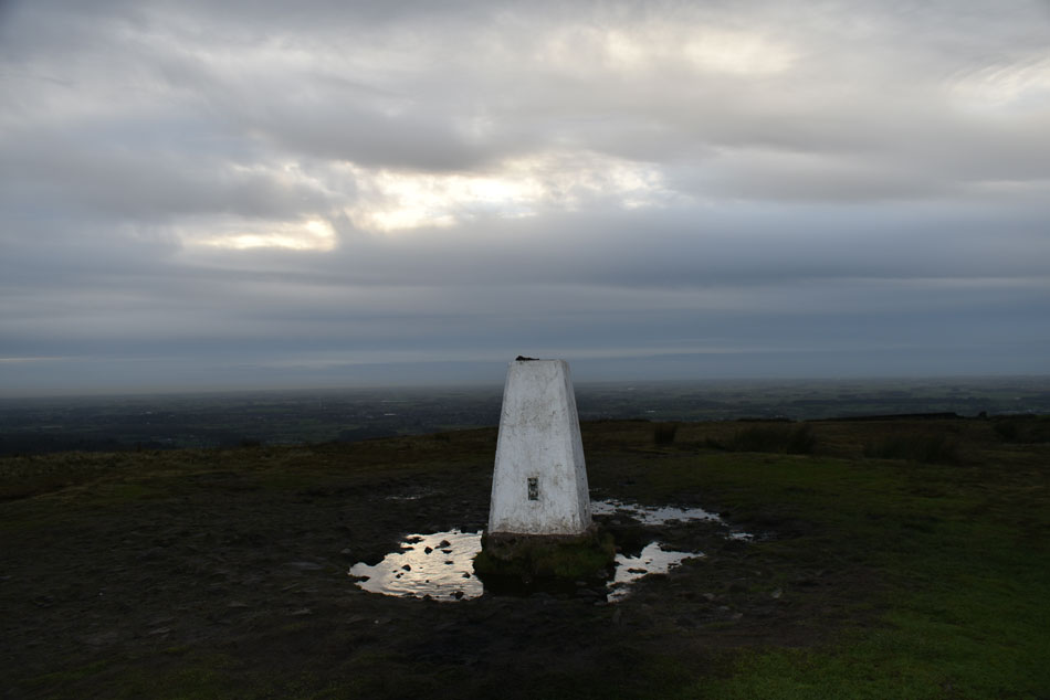
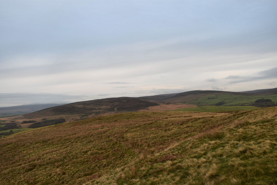
Starting from Grizedale Bridge I ascend Breast Moss Hole and continue over Harrisend Fell from where I pick up a path across the main ridge linking Harrisend Fell with Grizedale Head before descending northwards onto the Catshaw Fell shooting track from where a mile of road walking is required before skirting around the west flank of Harrisend Fell from where I head south west through Fell End Farm and onto the gentle slopes of Nicky Nook. It was a dull day but being out in open moorland sets the imagination going and once again, my spark had been ignited.


Ordnance Survey OL41

Forest of Bowland & Ribblesdale


Overview
Ascent: 1,350 Feet - 412 Metres
Summits: 2, Grizedale Head - Nicky Nook
Weather: Overcast Throughout. Feeling Brisk In Negligible Wind. Highs of 5°C Lows of 4.5°C
Parking: Parking Spaces, Grizedale Bridge
Area: Forest of Bowland
Miles: 9.5
Walking With: On My Own
Ordnance Survey: OL41
Time Taken: 3 Hours 30 Minutes
Route: Grizedale Bridge - Harrisend Fell - Hayshaw Fell - Grizedale Fell - Grizedale Head - Catshaw Fell Shooting Track - Trough Road - Fell End - Nicky Nook - Grizedale Reservoir - Holme Wood - Grizedale Bridge
 

Parking Details and Map Parking Spaces Grizedale Bridge
Nearest Post Code: PR3 1UJ
Grid Reference: SD 535 490


Map and Photo Gallery


Grizedale Bridge, Forest of Bowland 12:15pm 5°

I timed my arrival to allow for any lingering showers to clear with the promise of a few bright spells for the afternoon which never really materialized. The morning showers hadn't put most off finding the parking spaces full a little further up from the bridge but I managed to park in a nearby lay-by not far from a cattle grid. Its mild with little to no wind and despite around half a dozen cars parked up I couldn't see anyone around. I'm heading up the flank of Harrisend Fell seen right via a vague path right opposite the parking spaces but this path isn't on any map nor could I pick it out using Google Earth during my research.

With no rain forecast I add my Montane soft shell and gaiters which I can wholly recommend on a route where paths are vague at best. The plan is to head over to Grizedale Head then if time allows I'll include Nicky Nook at the end of the walk, a small but very popular hill flanked by Grize Dale and Grizedale Reservoir to the south and the M6 to the west. For anyone travelling between junctions 32 and 33 on the M6 you may often find quite a few cars parked on a bridge over the motorway. This bridge links Scorton with Grize Dale and I can only asume the cars owners are out taking a strole on Nicky Nook, those parked cars had me baffled for years but now I know why!


Views over Grizedale Bridge towards Grizedale Lea and Barnacre Reservoirs from the ascent on Harrisend Fell.
That's Holme Wood where Grizedale Reservoir is located which I'll be returning by after visiting Nicky Nook.

Harrisend Fell (left) from Breast Moss Hole.
The vague path that I had picked up from Grizedale Bridge ascends through thick tussocky grass but is soon left behind for ankle high heather. A series of narrow pathways continued over the shoulder of Breast Hole Moss before I arrived at this substantial cairn exactly at 283 metres on my map. Ahead are the outlines of Hayshaw Fell and Grizedale Fell but I steer left keeping with the ridge line towards Harrisend Fell summit,

Murky views over Scorton towards Morecambe Bay.
With Heysham Power Station seen towards the right, minutes earlier the outline of Black Combe was visible but a mix of murk and low cloud is now obscuring it.

Heading towards Harrisend Fell.
Which is the high point seen centre right of the photo while in the distance Clougha Pike appears.

Harrisend Fell summit cairn.
A second substantial stone cairn left me impressed given the lack of stone around. Next I head for the steel gate seen in the far right of the photo.

Looking across Hayshaw Fell and Grizedale Fell.
From Harrisend Fell I followed a boggy path across to the steel gate/wooden sty which I pass through with some difficulty while wearing my pack, I'm not sure who put this together but it wasn't with a full grown adult in mind!

Grizedale Head from Grizedale Fell.
The fell on the skyline is Hawthonthwaite Fell leading to Greave Clough Head on the right, Grizedale Head appears just below in the centre of the photo.

Boundary Stone, Grizedale Fell.
It was at the Boundary Stone do I cross the fence onto a well worn path via a wooden sty.

Heading over Grizedale Fell.
That's more like it.

Looking back over Grizedale Fell towards Hayshaw Fell.
Despite the lack of path shown on my map between Grizedale Fell and Grizedale Head its just a case of following the fence line.

Stake House Fell from Grizedale Head.
There is no cairn to be found on Grizedale Head despite a five minute search all I found at the highest point was a patch of boggy ground. You can just see the fence line in the distance which I leave in favour for a 'off the path' descent towards the Catshaw Fell shooting track.

Catshaw Fell Shooting Track.
After a few minutes descent the shooting track appeared which after a mile or so will descend me back on to Trough Road. Despite the path searching and bogs its only taken me just over the hour mark to reach the shooting track...must be the extra large bowl of porridge I had for breakfast this morning!

Hawthornthwaite Fell from Catshaw Fell.
 

Whoop whoop!
Black Combe re-appears over Morecambe Bay, blimey that said it isn't half dull with the light making it feel much later than it is.

Clougha Pike, Grit Fell and Wards Stone from Catshaw Fell Shooting Track.
The shooting track descends all the way towards the wooded area seen over on the left, I best get a shifty on if I'm going to include Nicky Nook at the end of the walk.

Trough Road.
A mile or so of road walking will quicken the pace.

Hayshaw Fell and Harrisend Fell.
With Isle of Skye Farm seen below.

The Public Bridleway linking Trough Road with Grizedale.
At a sharp right bend I hopped over a sty and onto the public bridleway. I could of continued to use the road to get back to Grizedale but its much longer and a bit out of the way. If you would of given me the option after twenty minutes on the bridleway I might of took you up on it!

Bridge crossing.
I know mud to us walkers is nothing new but the mud, cow pats, swill and bog all mushed in with tractor tyres topped the scale! I could show you my boots but you may have just eaten.

Impressive stone cairn on Harrisend.
Nearing the end of the Bridleway the path passes this rather spectacular cairn who's origin appears to be a bit of mystery to even to the locals. Some say it was designed by local artist Andy Goldsworthy but no one really knows who built it and why. One local funnily suggest the only thing the cairn is in line with is the redundant restaurant tower at Forton motorway services!

Nicky Nook from Harrisend.
I'm almost back at the road which can be seen just up ahead. My original plan was to follow the road back to Grizedale Bridge then head through Holme Wood to Nicky Nook but another option has appeared...

Nicky Nook from Fell End.
From the road a sign posted bridelway directed towards Fell End and Fell End Farm. I had previously seen this sign post during my research but had opted to follow the road back instead but after a sudden change of mind I followed the bridleway. As you can see its pretty rough underfoot with long hummocky grass and heather to pass through and not to mention the odd boggy bits but it sure shaved off a bit of time off which I'm lacking with less than a hour tp gp before the sun goes down.

Nicky Nook summit trig point.
With Fell End behind me I turned left at the top of the farm track and headed for a direct ascent on Nicky Nook via a path shown on my map. Despite its not so lofty height the path was steep in places and it looked like the strain from the muddied bridleway was catching up with me but soon the trig point appeared where I hoped I may find a bench of some sort because my stomach is reminding me to put something in it other than the breakfast I had nearly 5 hours ago.

Harrisend Fell, Grizedale Fell, Grizedale Head and Stake House Fell from Nicky Nook.
Time for a well earned lunch...only 4 hours late!

Descending into Holme Wood.
Just like the ascent from the north the south is quite a steep descent too. My path will head through Holme Wood skirting the reservoir left then straight ahead where the tree line comes to a stop at Grizedale Bridge.

Grizedale Lea Reservoir.
What a lovely spot.

Grizedale Lea Reservoir.
 

Oh look...
Well at least there's no cow pats in it.

Holme Wood.
Light is beginning to fade now with just ten minutes until sunset which left the remainder of the walk feeling eerily nice.

Almost back at Grizedale Bridge now.
In the ever fading light I left Holme Wood after a grey squirrel caught my attention which I watched disappear into the branches of a nearby tree. I had covered nearly 10 miles in a little under 4 hours and despite my muddied appearance (how does ones crotch get covered in mud) sighs in disbelieve! I wasn't going to let the mud be the lasting memory of todays walk, that memory is claimed by the open moorland, the babbling brooks, the red grouse and one grey squirrel.


Back to top