Caton Moor & Littledale

13th November 2020

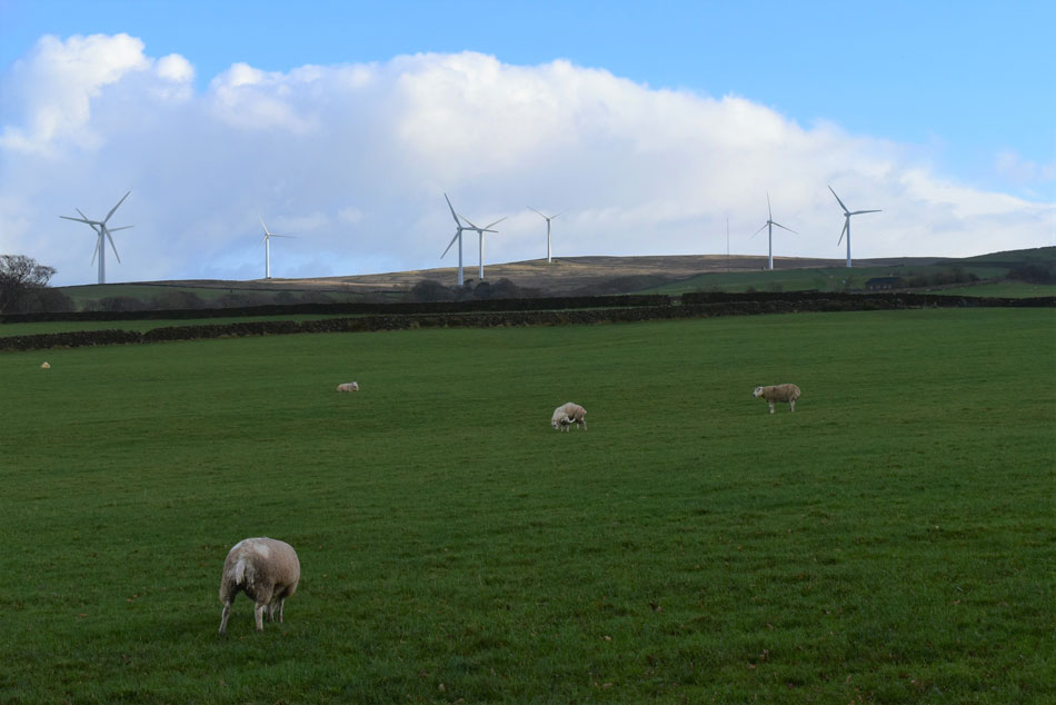
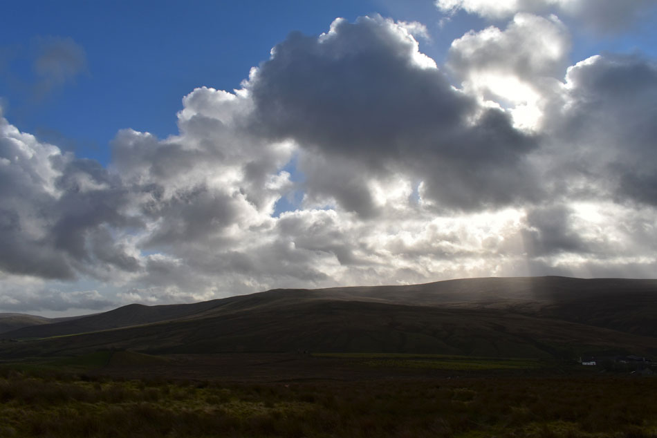
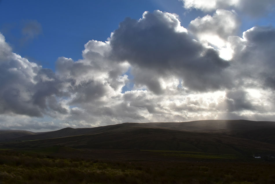
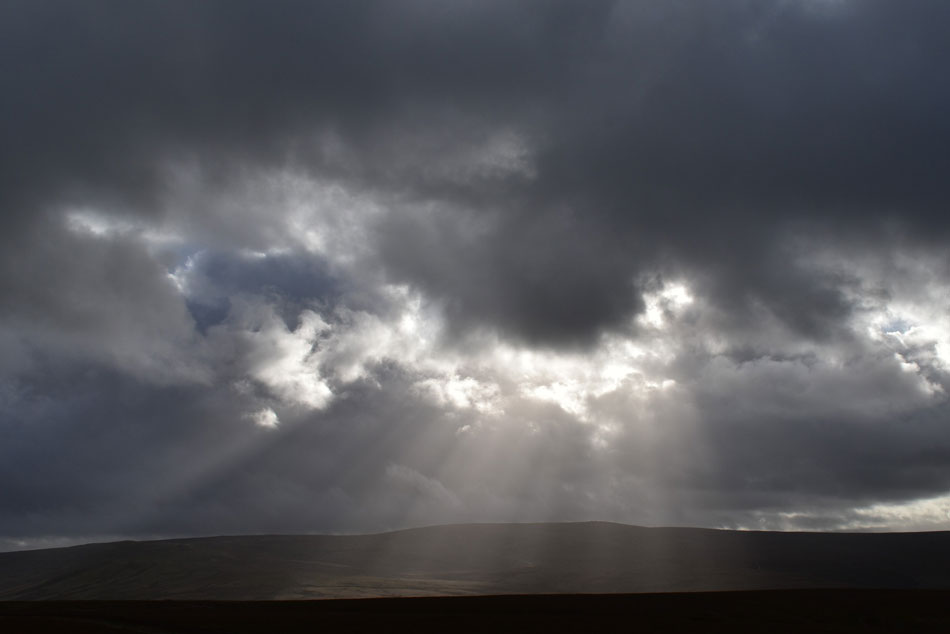
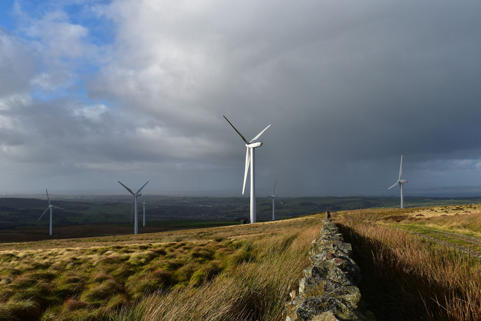
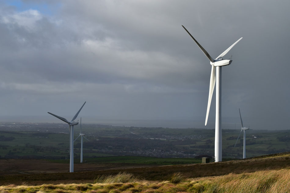
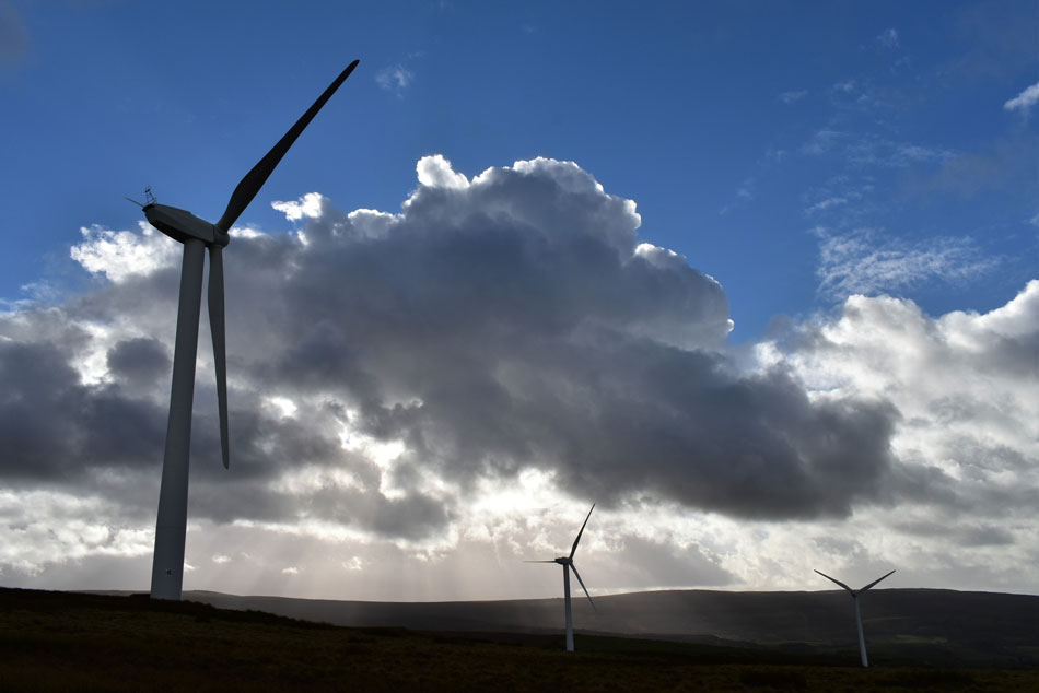
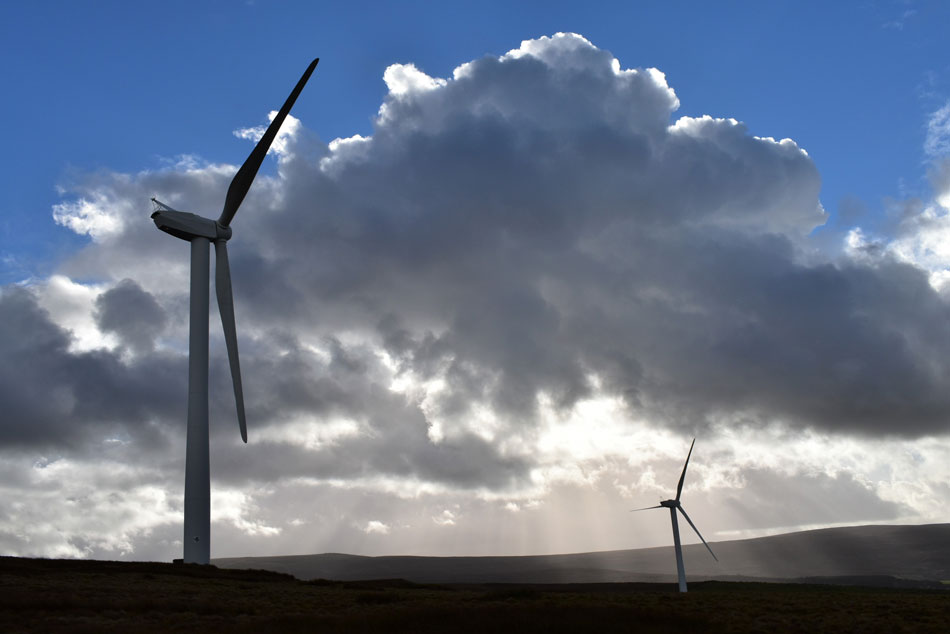
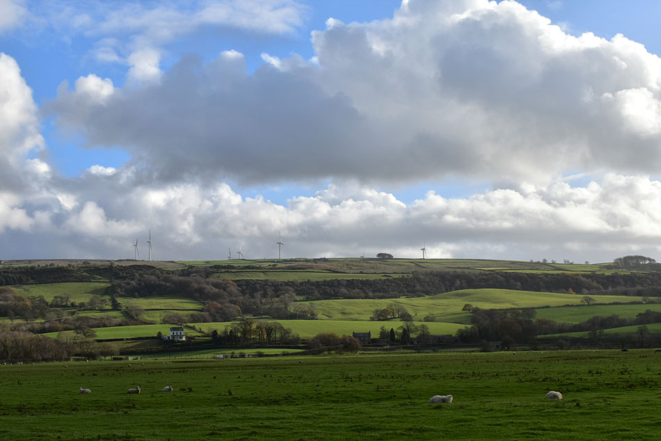
Following on from my Grit Fell and Glougha Pike walk is Caton Moor and Littledale. I spied Caton Moor from Clougha Pike and was instantly drawn in by not just the fell but the wind farm too, coming from Wigan you don't get to see many wind farms and the 'boy' in me was intrigued to pay it a visit.

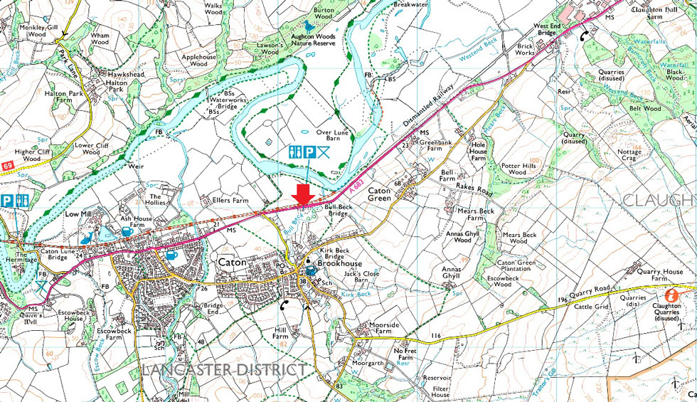
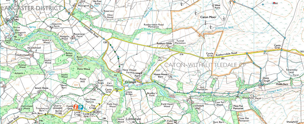
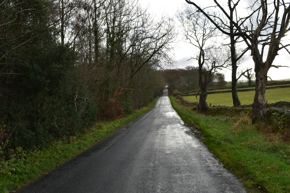
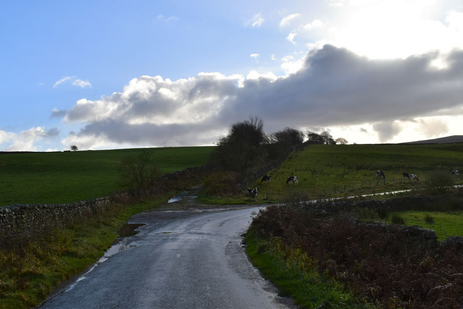
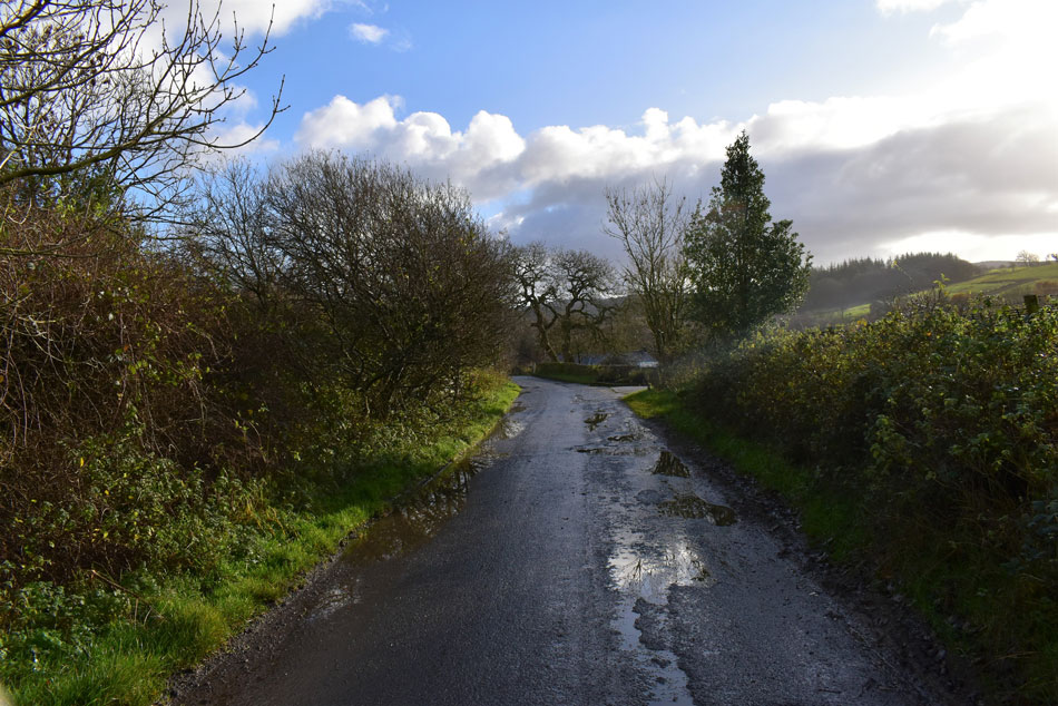
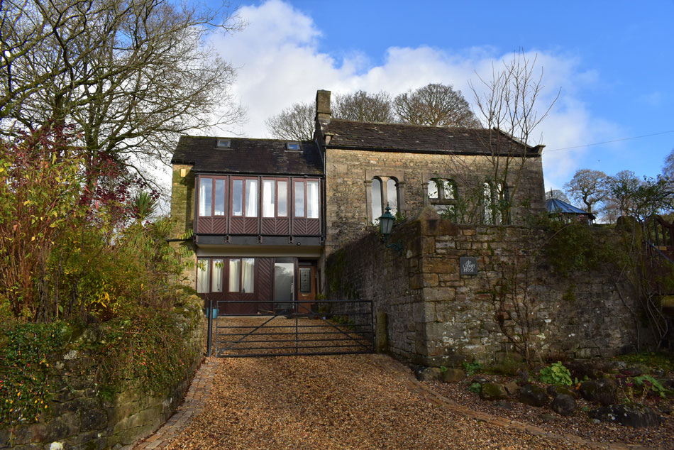
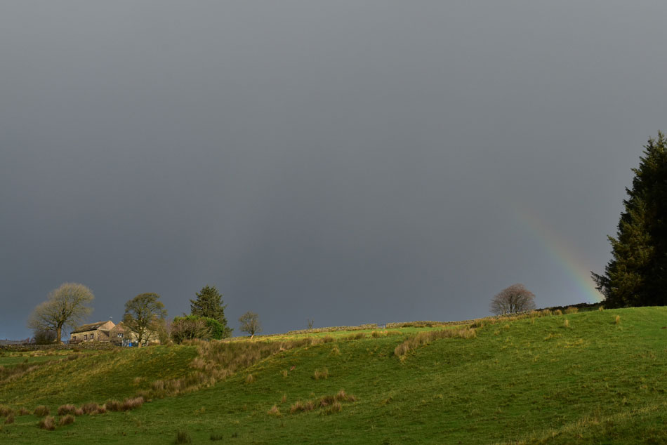
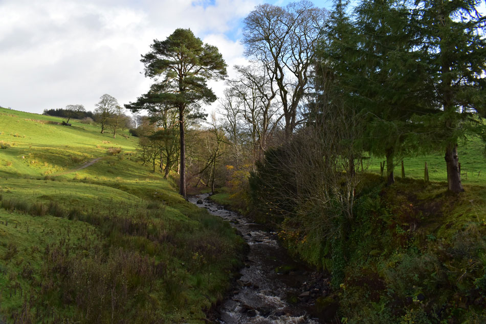
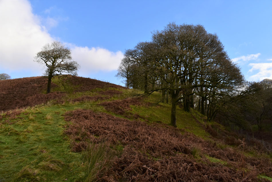
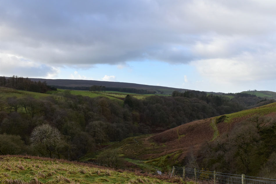
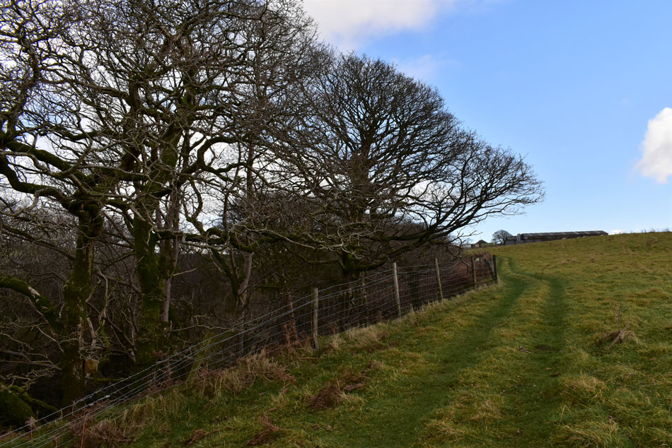
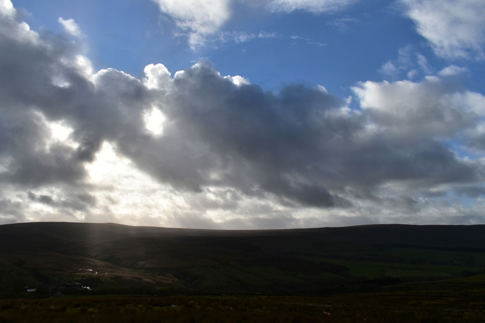
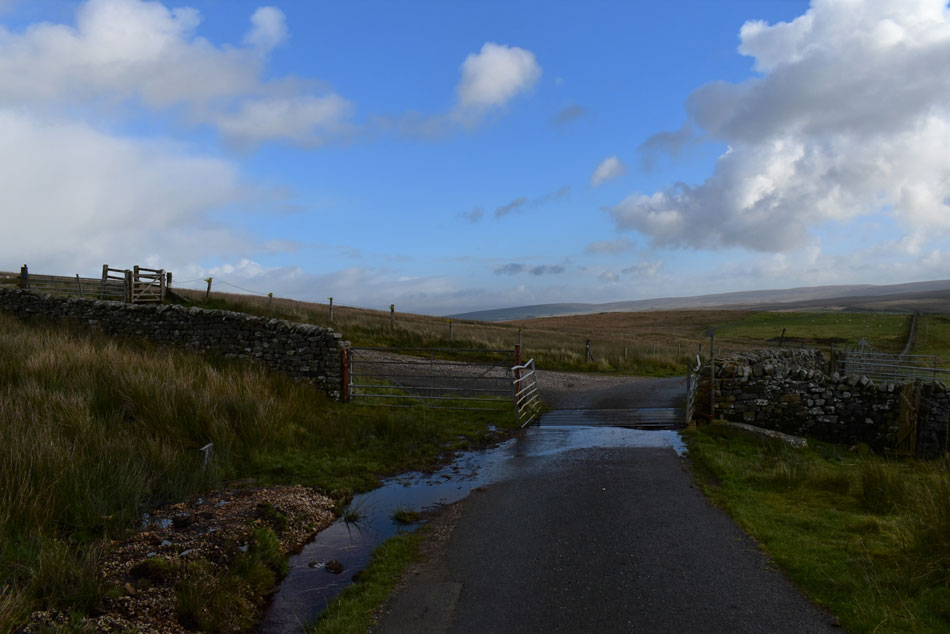
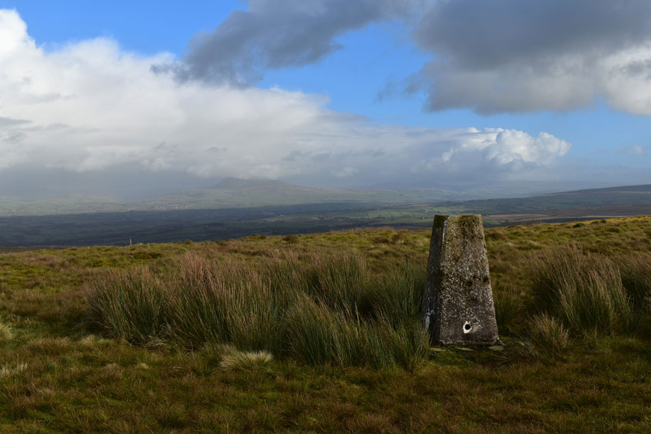
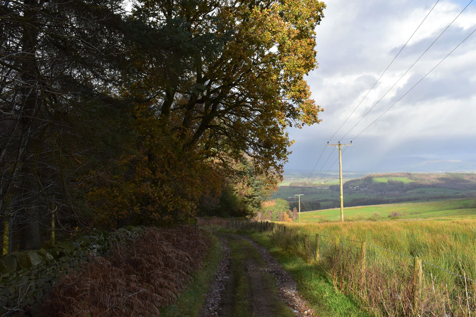
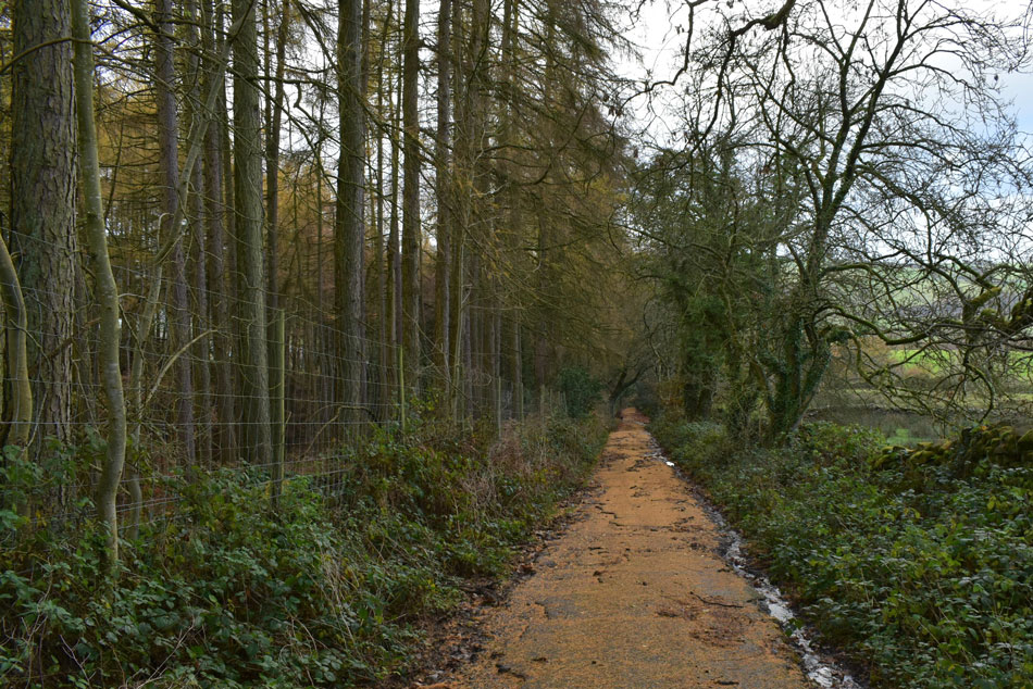
I set about my research and found this route which starts from the heart of Caton at Bull Beck picnic area. The start of the walk involves quite a bit of road walking but the roads were quiet and surrounding countryside views add to the road section. Leaving Littledale Road the quaint Littledale valley is entered, a hidden gem of a valley which divides Caton Moor from Clougha Pike and Grit Fell. Roeburndale Road is accessed by a steady climb via Deep Clough from where the slopes of Caton Moor are gained whose summit is only accessible via a trudge over moorland.

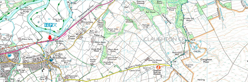
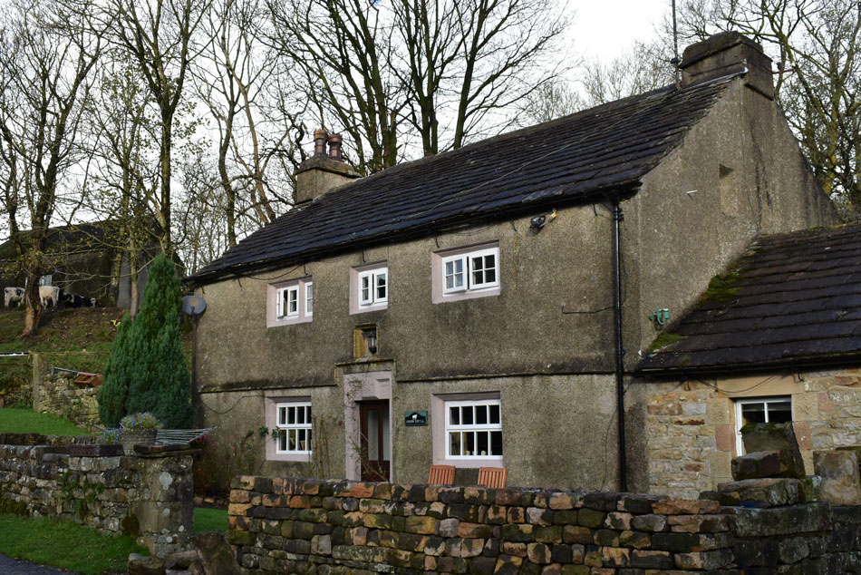
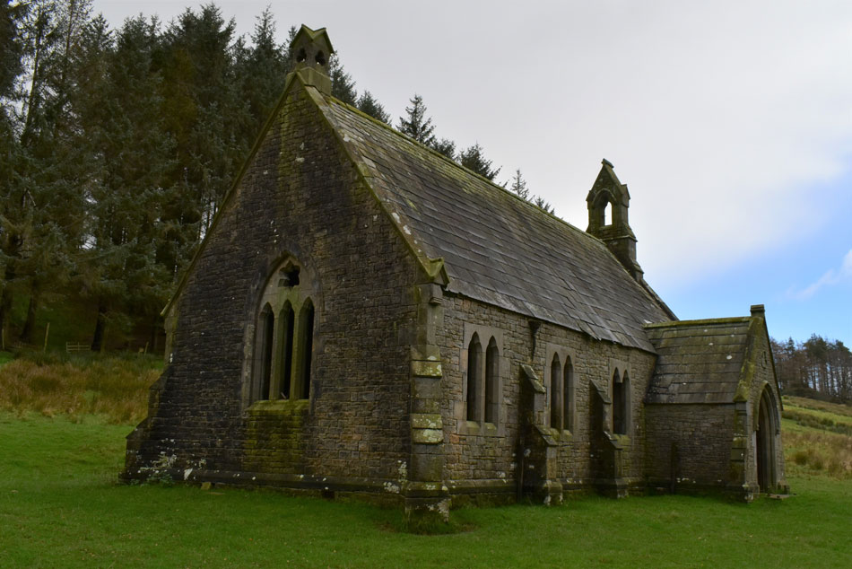
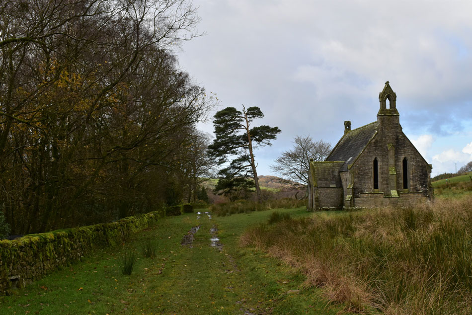
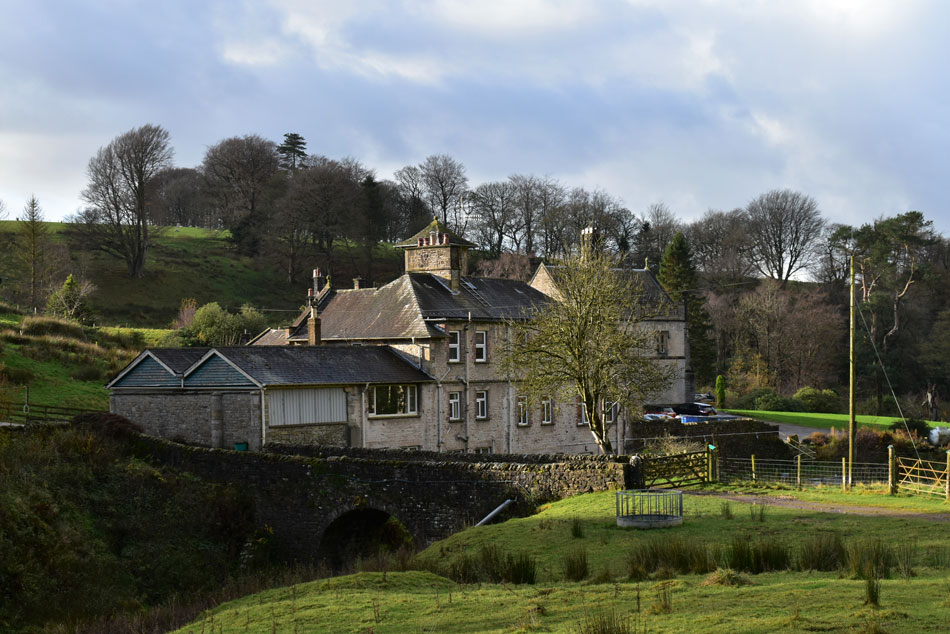
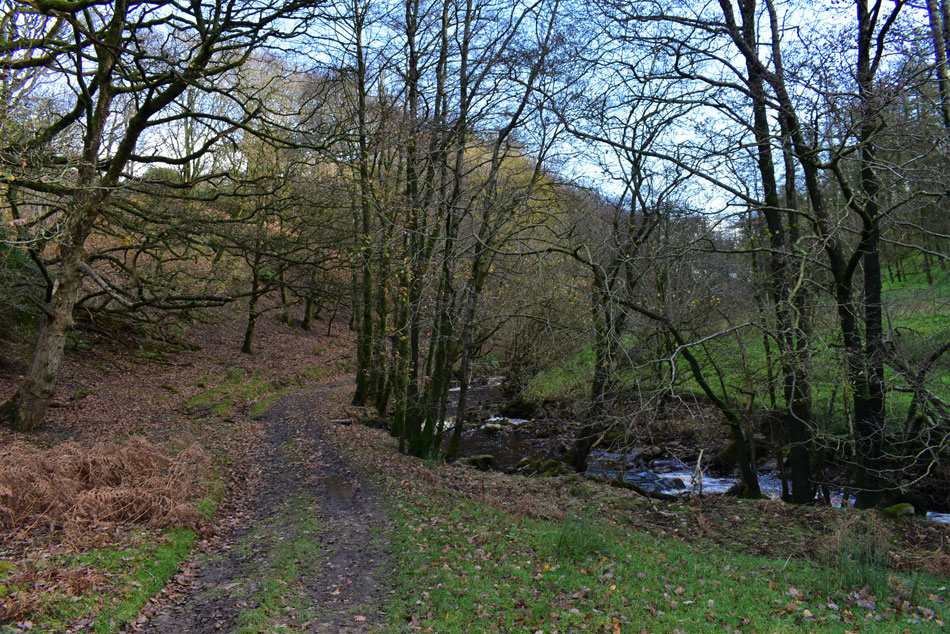
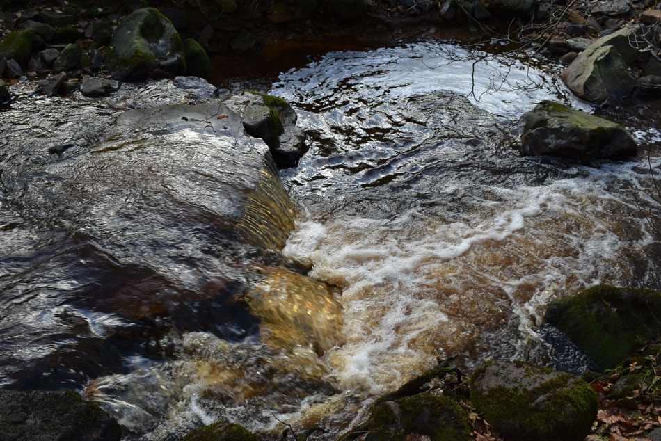
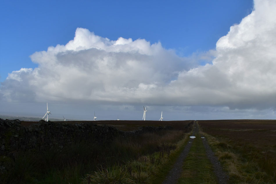
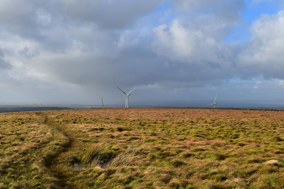
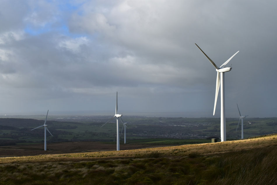
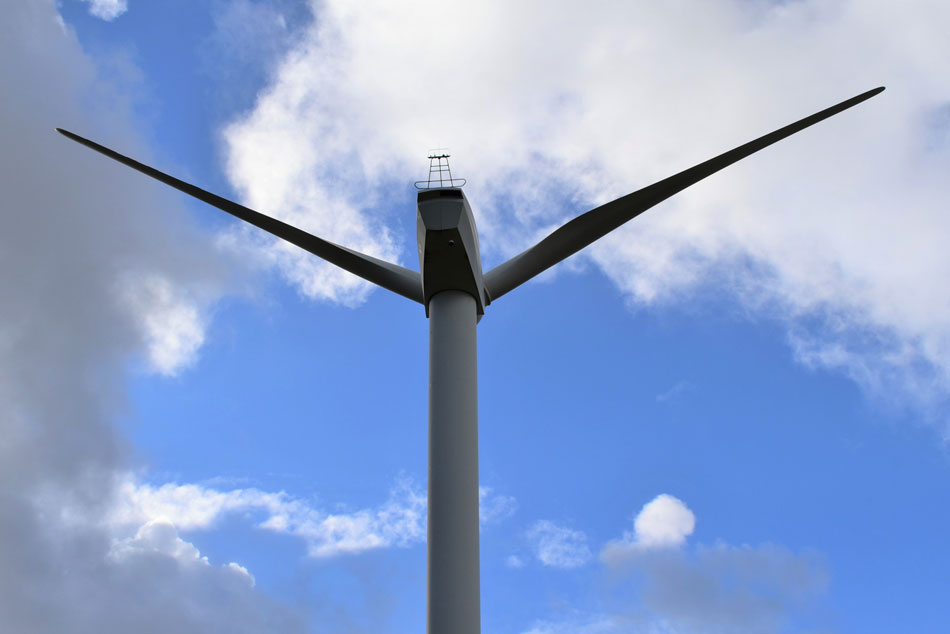
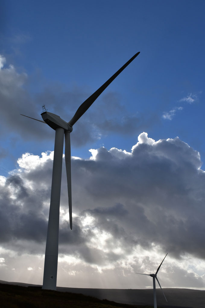
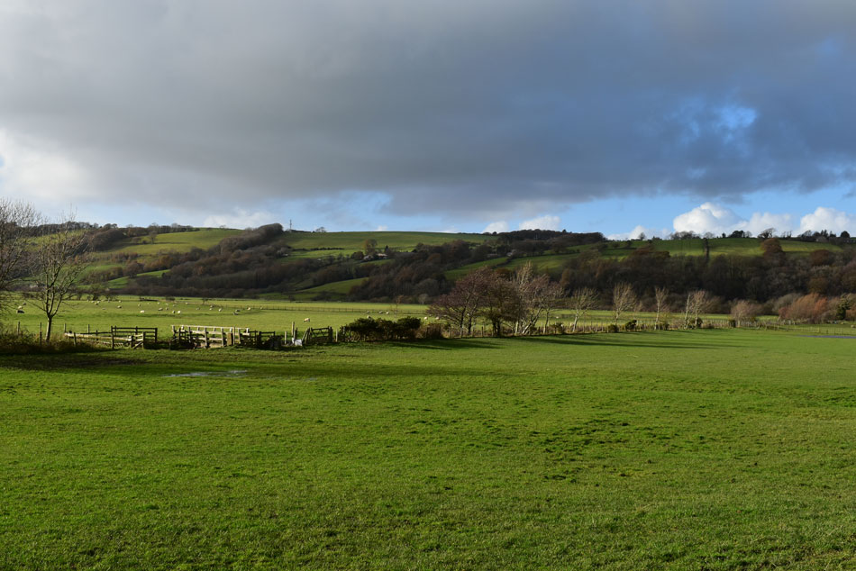
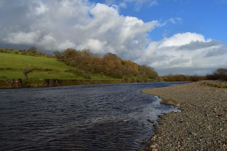
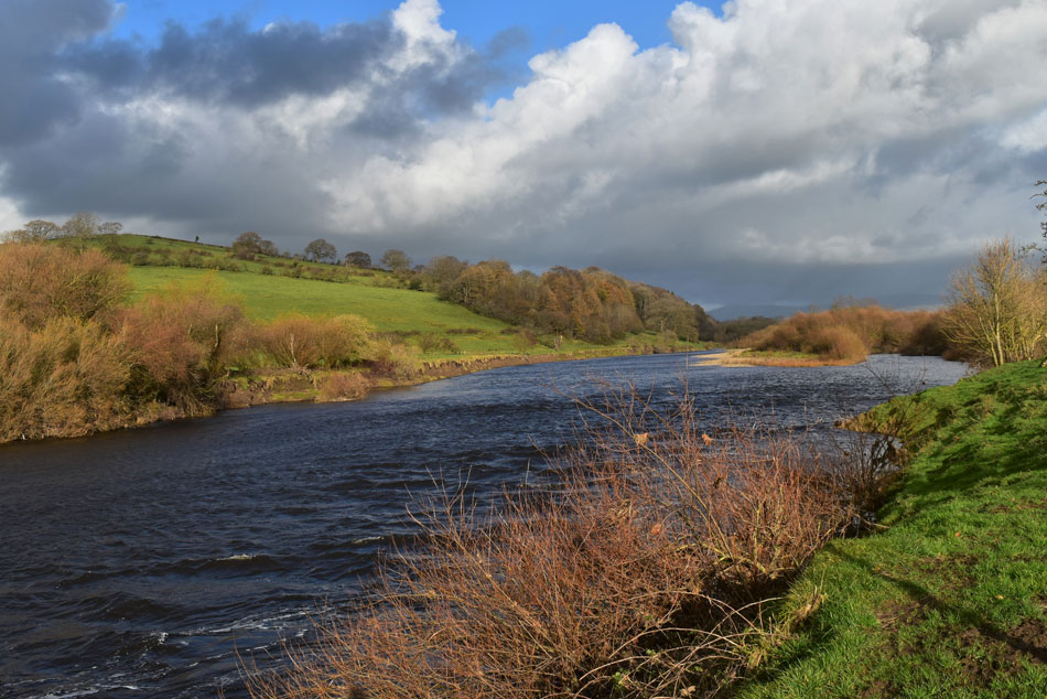
Once the summit was visited I retraced my steps and took in the delights of the wind farm where the boy in me sprang out of my chest, I was utterly intrigued by the silent monsters. From the wind farm I descended into Kirby Gill Wood via Moorcock Hall and made my way towards the banks of the River Lune which I followed back to Bull Beck. This walk had it all from quaint villages, moorland, wind farms and rivers and will probably rank as one of the best outside the Lake District.


Ordnance Survey OL41

Forest of Bowland & Ribblesdale


Overview
Ascent: 1,522 Feet - 464 Metres
Summits: Caton Moor
Weather: Overcast With Intermitant Sunshine. Windy Over The Tops. Highs of 12°C Lows of 7.3°C Max Wind Speed 19.7mph
Parking: Bull Beck Picnic Area
Area: Forest of Bowland
Miles: 10.7
Walking With: On My Own
Ordnance Survey: OL41
Time Taken: 4 Hours 30 Minutes
Route: Bull Beck - Holme Lane - Littledale Road - Cross Gill - Deep Clough - Roeburndale Road - Caton Moor - Kirkby Gill Wood - Claughton - River Lune - Bull Beck
 

Parking Details and Map
Nearest Post Code: LA2 9NB
Grid Reference: SD 541 649


Map and Photo Gallery


Bull Beck from the top of Holme Lane, Caton 09.30am 12°C

Within an hour of leaving home I was parked up at Bull Beck picnic area. The car park was largely empty with the exception of a Land Rover whose owner kept a eye on his black Labrador which was full of beans to say the least, he looked local which was confirmed when 'Morag' the black lab came bouncing over towards me and muddied my trousers with her paws. Morag! get off him! come ere ya daft brush!! "I'm so sorry" he explained but it was no hardship, I love dogs and Morag still received a pat on the head from me, besides this wasn't the muddiest my walking trousers were going to get today but more on that later. Morag and her owner left in the Land Rover and I continued to kit up.

The morning air felt cold here in the car park which I confirmed by adding my jacket before my boots. With the car locked I left Bull Beck and turned left onto the A683 for the short road walk towards the bottom of Holme Lane. With Holme Lane reached I started to climb the narrow lane which was flanked by the sort of houses you could only dream about owning. At the top of Holme Lane Bull Beck appears to my left as it meanders its way into the River Lune a mile back.


The Black Bull Inn, Brookhouse Road, Caton.
At the top of Holme Fell Road I joined Littledale Road at the corner of Black Bull Inn. I was later to be informed that my late father in law who was local to Lancaster used to bring my wife here as a kid "does it still have the outside play area" my wife asked? aye it still does.

Littledale Road.
My research told me that Littledale Road isn't busy and that research was bob on, aside from a couple of cars, one cyclist and a delivery truck I had the road to myself.

Heading to Crossgill.
Littledale Road leads into Roeburndale Road which veered sharply left (behind me) here I continued into Crossgill via the farm track seen left, bearing right is the road into Crossgill for all other traffic.

Caton Moor wind farm.
From the track I get my first uninterrupted view of Caton Moor wind farm.

Littledale Road, Crossgill.
The farm track desended me down to rejoin Littledale Road at the corner of New House Farm where I turned left into Crossgill, it's starting to brighten up now.

Cross Ghyll.
Note the lamp inset above the front door.

Old Church House, Littledale.
Formally the Church of St Ann which was made redundant in 1978 and converted into a house in 1988.

The house on the hill (Hawes House Barn)
The rainbow had been coming and going all morning and could be seen from as far back as Caton earlier.

Littledale Free Church 1849
My map told me there was a building in Littledale prior to reaching Littledale Hall but I hadn't realised it was an abandoned church. I'm not sure when or why the church was abandoned but I can confirm it's now being used to store farming equipment.

Looking back on the abandoned church.
The last thing I'd expected to see!

Crossgill Beck from Littledale Hall.
I left the footpath (seen left) to take this photo of Crossgill Beck.

Littledale Hall.
And bridge from where I'd taken the previous photo.

Gill Plantation.
Accompanied by Crossgill Beck and plenty of mud I really enjoyed my walk through Gill Plantation.

Crossgill Beck.
There was lots of water about both in the beck and on the footpath to the point where I had to stop caring how messy my boots and walking trousers looked, and yes, I'd forgotten to add my gaiters, again (rolls eyes)

Heading up towards Deep Clough.
At the end of the valley I cross over Crossgill Beck via a wooden footbridge then began a short but steep climb towards Deep Clough.

Delightful Littledale.
 

Walking alongside Deep Clough.
I'm heading towards the farm seen left from where I'll gain Roeburndale Road via the farm track.

Grit Fell and Clougha Pike from Roeburndale Road.
I passed through the farm where I got a few twitches from behind the curtains. Continuing on I then joined Roeburndale Road where I was able to see my first views of Grit Fell (left) and Clougha Pike (right)

Looking further east.
That's Mallowdale Pike seen left with Ward's Stone centre and Grit Fell right, the farm I have just passed through can be seen lower right.

What a cracking light show.
 

Cattle Grid, Roeburndale Road.
Which is where I left the road and head left onto Caton Moor.

Caton Moor with the wind farm seen right.
There really wasn't much effort required to reach Caton Moor but I still have quite a lot of walking to do before I reach the summit which is up head and off to the right.

Light drama over Ward's Stone.
At 1,841 feet (561 mtrs) Ward's Stone is the highest hill in the Forest of Bowland.

Caton Moor summit trig point.
With Ingleborough in the disance. Time to retrace my steps and head back to the summit wall.


Caton Moor wind farm.
 

Caton Moor wind farm.
Each turbine has been given a name by children from the local primary school.

Caton Moor wind farm.
There is a walk you can do named the Caton Wind Farm - Tramper Trail which takes you through the wind farm.

Caton Moor wind farm.
The turbine rotors are 70 metres in diameter, this one didn't appear to be working today.

Caton Moor wind farm.
Each turbine is 55 metres in height.

Caton Moor wind farm.
Capturing lovely light as I pass by.

Caton Moor wind farm.
Last photo before I start my descent towards Moorcock Hall.

Moorcock Hall.
It was blowing a royal hooley up on the moor and with it came a biting chill which almost saw me reaching for my hat and gloves but with more descent the wind calmed and the temperature climbed. It looks like Moorcock Hall is now being used as a farm, the one thing that arose my attention was the high wall in front of the house and I wondered if it was to protect against the elements due to the buildings exposure?

Aerial Ropeway Claughton Brick Works.
Which is still in use today carrying shale from the quarry to the brickworks, the ropeway is fed by gravity.

Descending into Claughton.
Via Kirby Gill wood.

Kirby Gill Wood.
Almost at Claughton now as I pass this section of the track which was covered in pine needles.

Heading towards the River Lune.
I crossed the A683 at Claugton and continued following a narrow lane until I arrived at the fields where a public footpath gives access to the River Lune. First I cross the footbridge seen left then follow the tree line towards the next field.

The less said about how muddy the field was the better.
The last time I wore these boots was on a tour of the Eskdale Horseshoe, how the mighty have fallen!

Down by the River Lune.
The footpath sticks alongside the edge of the farmers field but if your nosey and inquisitive like me you can hop over the fence and get up close of the river but be careful the River Lune is tidal and evidence of it over flowing was all around.

A close up of Caton Moor from the banks of the River Lune.
 

The River Lune looking east.

It was lovely and warm by the River Bank only interrupted by high cloud which obscured the sunlight. I rejoined the footpath and followed the Lune through a natural sweeping left curve then a right from where it was time to leave the river behind. By now more high level cloud has seen off the sunshine as I walked the half mile or so back to Bull Bridge along the wooded disused railway track.

The track was busy with walkers and cyclists and I couldn't but help feel embarrassed by the state of my boots and trousers which looked like I'd been rolling around in the mud rather than enjoying the countryside. Bull Bridge picnic area was soon reached I for one couldn't wait to tuck into lunch but would the smell of cooked bacon from the nearby Cafe get the better of me?


Back to top