Alphin Pike & Dovestones Edge

10th November 2020

Lock down 2 means we are still encouraged to exercise outdoors but limit our travel so it looks like no lakes for me until December. With this in mind I planned a walk on the north western side of the Peak District just a few miles outside of Oldham I've only just discovered the Peak so walks like todays are new to me but with plenty of planning before hand I had the route mapped in my head just as I would any Lakeland walk.

Todays route is high level round of the Chew Valley starting from Dove Stone Reservoir. The route around the Chew valley starts on Alphin Pike before continuing along the ridge towards Chew Reservoir via Wimberry Crag and Stable Stones Brow. Once Chew Reservoir is reached it's time to take on the return leg of the walk via Dish Stone Brow and the Dovestones Edge. After todays glorious day and like my recent Peak District walks I only wish I'd explored the area sooner.

 
Ordnance Survey OL1
The Peak District
 

Overview
Ascent: 1,825 Feet - 537 Metres
Summits: Alphin Pike
Weather: A Bright Morning Feeling Warm In The Sun With Light Winds Over The Summits. Highs of 12°C Lows of 5°C
Parking: Car Park, Dove Stone Reservoir
Area: The Peak District
Miles: 9.1
Walking With: On My Own
Ordnance Survey: OL1
Time Taken: 4 Hours 30 Minutes
Route: Dove Stone Reservoir - Bradbury Lane - Intake Lane - Alphin Pike - Wimberry Crag - Stable Stones Brow - Chew Reservoir - Dish Stone Brow - Dean Rocks - Ashway Rocks - Yeoman Hey Reservoir - Dove Stone Reservoir
 

Parking Details and Map
Nearest Post Code: OL3 7NE
Grid Reference: SE 013 035
Notes: A large car park can be found at Dove Stone Reservoir/Sailing Club. Despite the numerous places my advice would be to arrive early due to the popularity of Dove Stone Reservoir. Charges apply £1.80 up to 3 hours £4.00 all day parking.


Map and Photo Gallery


Alderman's Hill from Dove Stone Reservoir Car Park 08:20am 10°C

I had read about how quickly this car park fills up finding it nearly full one side but nevertheless I found a good space on the opposite side of the car park and I feel I'm getting some odd looks as I add my Gaiters, in fact for now most folk around me are the tourist type out for a morning dog walk.

It was feeling pretty mild for a November morning and I urged against adding my hat and gloves, instead and with the car locked I break away from the crowds and head for Bradbury Lane at the top of the car park (behind me)


Bradbury Lane.
There's a little road walking to do before I reach the base of Alphin Pike, this is Bradbury Lane which leads onto Intake Lane thereafter, it's from Intake Lane do I start my ascent but for now I'm enjoying the sunshine and...

...the views.
Here's Alderman's Hill again from Bradbury Lane.

Great Dovestone Rocks and Ashway Hey from Bradbury Lane.
Bradbury Lane turns into this cobbled track as it climbs towards Fern Lee Farm. Todays final summit seen far left is Ashway Hey with Dovestones Edge seen right.

Wharmton from Alphin Brow.
With Fern Lee Farm reached I pass a lady taking her Scottish Highland Terrier for a walk where a smile and a 'morning' was shared, from the farm I head along Intake Lane from where the profile of Alphin Brow is seen, further down Intake Lane I arrive at a sign posted 'Alphin Pike' where two paths split onto Alphin Brow, the left path is less direct so I head right.

A hazy view of Manchester from Alphin Brow.
 

Cloud Inversion forming over Standedge from Alphin Pike summit cairn.
With Alderman's Hill seen right.

High Peak from Alphin Pike summit.
By turning my head from east to south I get this incredible view over High Peak, just stunning.

Alphin Pike trig point and summit shelter.
It was while I was stood admiring the views did a chap on a mountain bike arrive and we struck up conversation on how stunning the day was, he had just come from direction of Wimberry Moss which was where I was heading next, he was a local lad and spoke of the area using their nick names so I just nodded politely as if I knew exactly where he was talking about!

Heading over Slack Head Brow towards Wimberry Moss.
With Dish Stone Moss on the other side of the Chew Valley, I'll be over there later.

The view over Alderman's Hill.
 

Dove Stone Reservoir and Yeoman Hey Reservoir from Slack Head Brow.
If you look below the Dam wall you can see the car park which is looking full now. On the other side of Dove Stone Reservoir is the Dovestones Edge with the Saddleworth Moors beyond.

Dove Stone and Yeoman Hey Reservoirs close up.
A second Dam seen in the photo divides Dove Stone and Yeoman Hey reservoirs which I will cross later after descending Ashway Hey (seen right)

Wimberry Crag and Stable Stones Brow from Wimberry Moss.
Well, up until now there has been absolutely no need for my gaiters with the ground being dry and the granite rock when passed, sound underfoot offering plenty of grip.

Looking back across Wimberry Moss towards Alphin Pike.
 

Wimberry Moss and Alphin Pike from Wimberry Crag.
A steady climb was all that was required to reach Wimberry Crag which overhangs the Chew plantation below.

Wimberry rocks, Wimberry Crag.
 

Wimberry Rocks.
A young couple (Instagramers) were stood taking selfies on this rock prior to me arriving and we struck up conversation on how nice the day was. If one thing that this area attracts is young people and I know not all were here to enjoy the views but does it really matter what they are here for whether it's to take selfies or admire the views.

Alderman's Hill, Dove Stone Reservoir and Dovestones Edge from Stable Stones Brow.
The track you see running through Chew Valley is the Chew Road leading towards you've guessed it, Chew Reservoir.

Contouring around the head of the Chew Valley.
I'm heading for Chew Reservoir which is the flat bit over on the left then afterwards I'll make my way over to Dish Stone Brow on the opposite side of the valley. Did I mention that I didn't need my gaiters up until now...I should have kept my mouth shut!

Chew Road running through Chew Hills and Charnel Clough.
A narrow path passes along the entirety of the ridge in this photo from Dish Stone Brow (right) through to Great Dove Stone Rocks beyond.

Stable Stones Brow (left) from the head of the Chew Valley.
 

Looking back towards Stable Stones Brow as I near Chew Reservoir.
Chew Road can be seen right.

Chew Reservoir.
I had been making excellent time but the bogs at the head of the valley had started to slow me down, nonetheless I had passed some really friendly people along the way most of whom stopped for conversation. It's time to take in the views over Chew Reservoir before heading towards Dish Stone Brow.

Rock stack, Dish Stone Brow.

It was my intention to follow the ridge for its entirety starting here at Dish Stone Brow. All the people who I had passed as I contoured around the head of the Chew Valley were now heading for Stable Stones Brow who I could hear as if they were stood at the side of me.

Incidently using the route I'm on now wouldn't be recommended in bad weather unless you know the area very well and are confident with a map and compass, gone are the prominent paths on the opposite side of the valley which have been replaced by boggy narrow grassy tracks.


Stable Stones Brow, Wimberry Crag and Alphin Pike from Dove Stone Moss.
Alphin Pike is starting to look quite a distance away now.

The head of the Chew Valley.
Perfectly flat but very boggy indeed.

Dove Stone Reservoir and Alderman's Hill.
As I continue to follow the edge northwards.

The cairn on Fox Stone.
The edge starts to head eastwards from here towards Ashway Gap.

Great Dove Stone Rocks.
The path can be seen towards the right.

Alphin Pike, Dove Stone Reservoir and Alderman's Hill.
From Great Dove Stone Rocks

Dove Stone Reservoir and Alderman's Hill from Dean Rocks.
Two lads add scale to the top of Dean Rocks.

Alderman's Hill and Dick Hill with Yeoman Reservoir below.
Taken from the top of Dean Rocks.

Dean Rocks rock stack.
 

Ashway Hey seen over Ashway Gap.
Todays final summit and possibly my lunch spot, but first I have to navigate around Ashway Gap.

Memorial Cross below Ashway Moss.
It reads...Here by accidental discharge of a gun James Platteson MP for Oldham lost his life 21 August 1857

Lunch with a view.

You'd be forgiven that this was a typical day in the middle of June and not the beginning of November, phew wee it's mild.


Alphin Pike and Dove Stone Reservoir from Ashway Rocks.
Time to head down now and re-join the crowds.

Alderman's Hill, Dick Hill and Yeoman Reservoir from Ashway Hey.
I'm heading for Yeoman Reservoir dam wall seen below.

Dovestones Edge from Dove Stone Reservoir Dam.

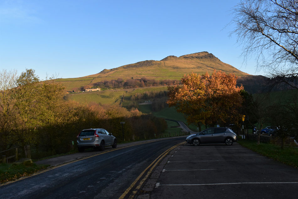
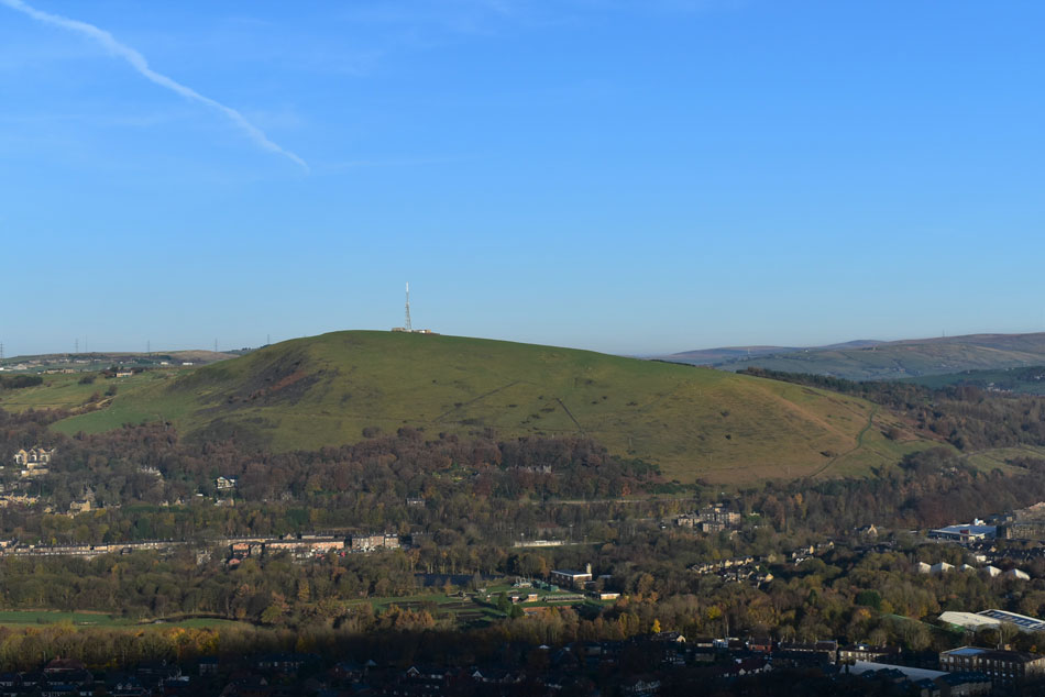
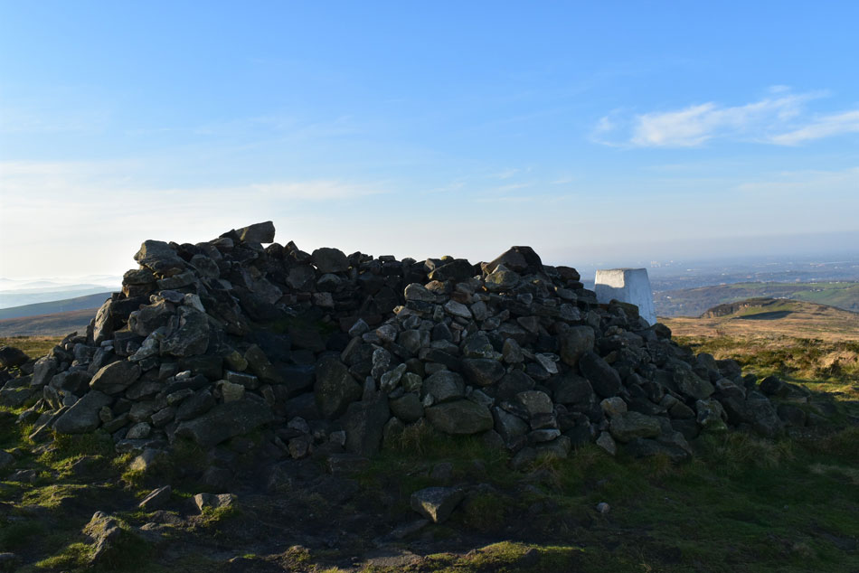
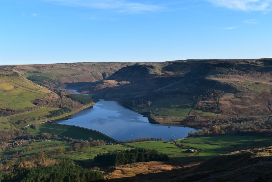
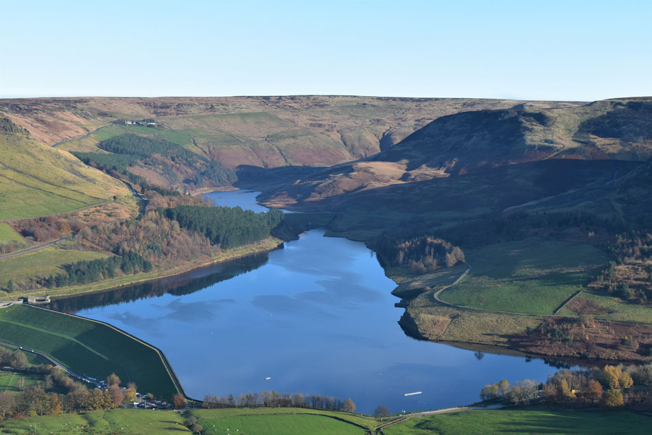
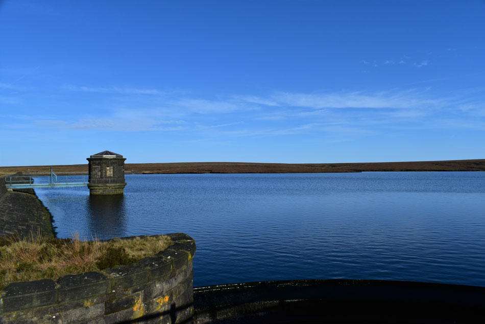
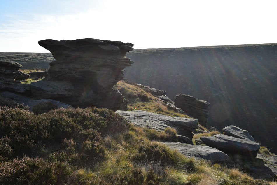
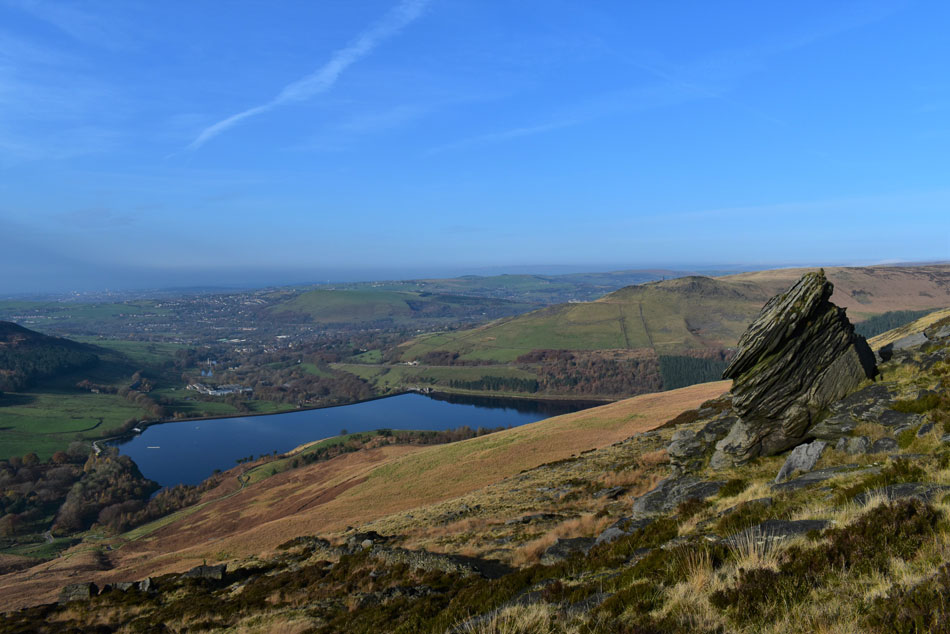
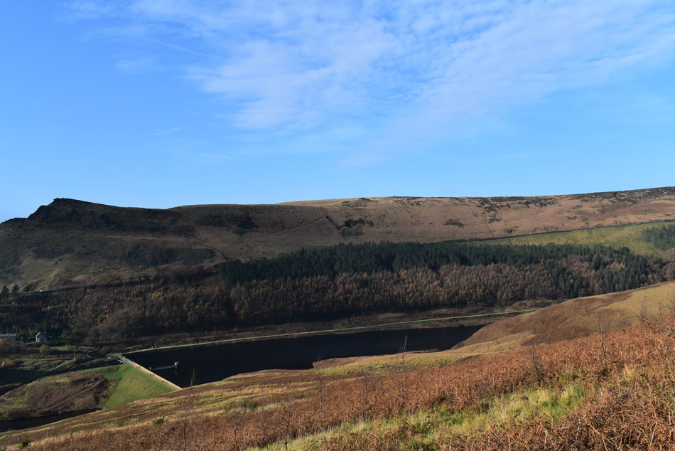
It had clouded over slightly by the time I arrived at Yeoman dam wall where I was also exposed to a cool breeze where for the first time on this November day I felt on the cold side, nevertheless my jacket remained tied under my pack hood and my sleeves remained rolled up. From Yeoman Reservoir I followed the circular foot path along the shores of Dove Stone Reservoir which was packed with people so tightly I could hear conversations as I hurried past only stopping to take the odd photo like this one which brought my walk to end on the Dove Stone Reservoir dam wall. The car park lay below which looked chaotic to say the least, I grabbed a few more minutes while gearing up for the chaos which awaited me.

Within seconds of opening my tailgate one driver pulls up "you leaving mate" I am, but your gonna have to wait while I take this lot off, on went his indicator. While being watched by a family of four I de-layered as the chaps wife gets out the car and thanks me for my space "it's really stressful this isn't it" I'm sorry to have to do this but we can't park...aye no bother I replied, I'm ready to go now as I handed over my all day parking ticket, you can keep that I said, funny how a great walk leaves you in a great mood.


Back to top