Pendle Hill

25th October 2020

Due to Greater Manchester and Lancashire entering Tier 3 restrictions sadly and with a heavy heart I am unable to walk the Lakeland fells but that's not to say I can't get out and explore my home county of Lancashire.

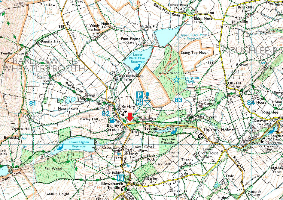
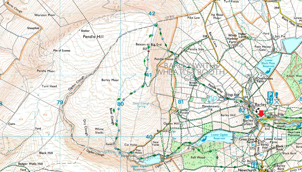
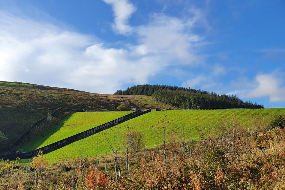
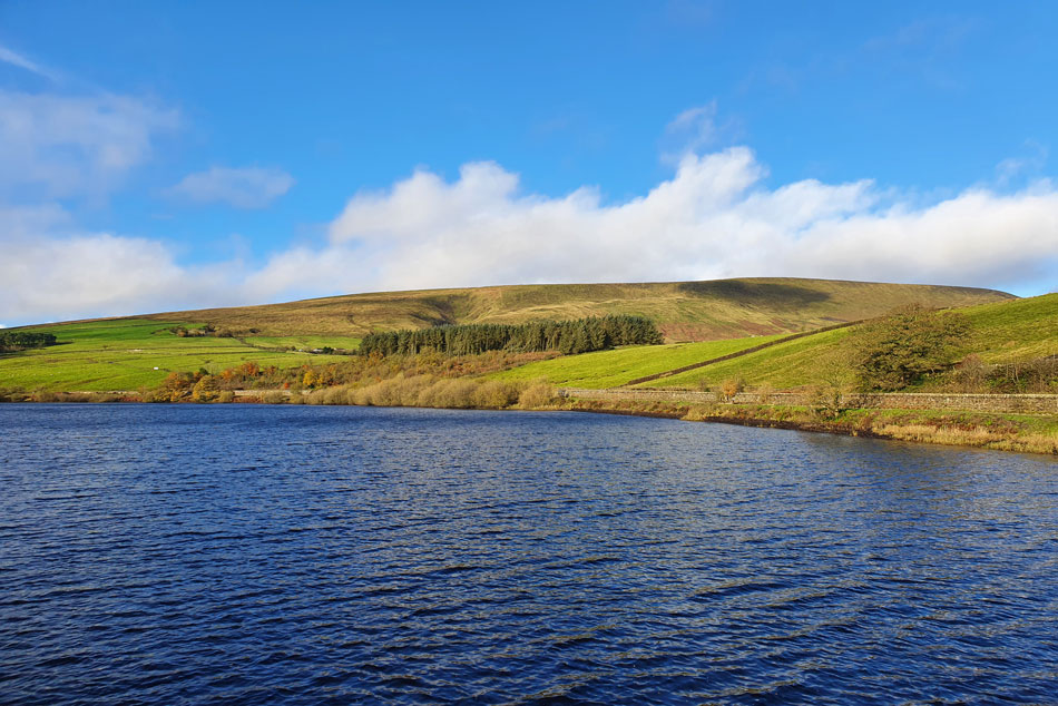
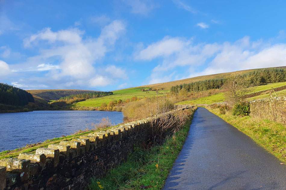
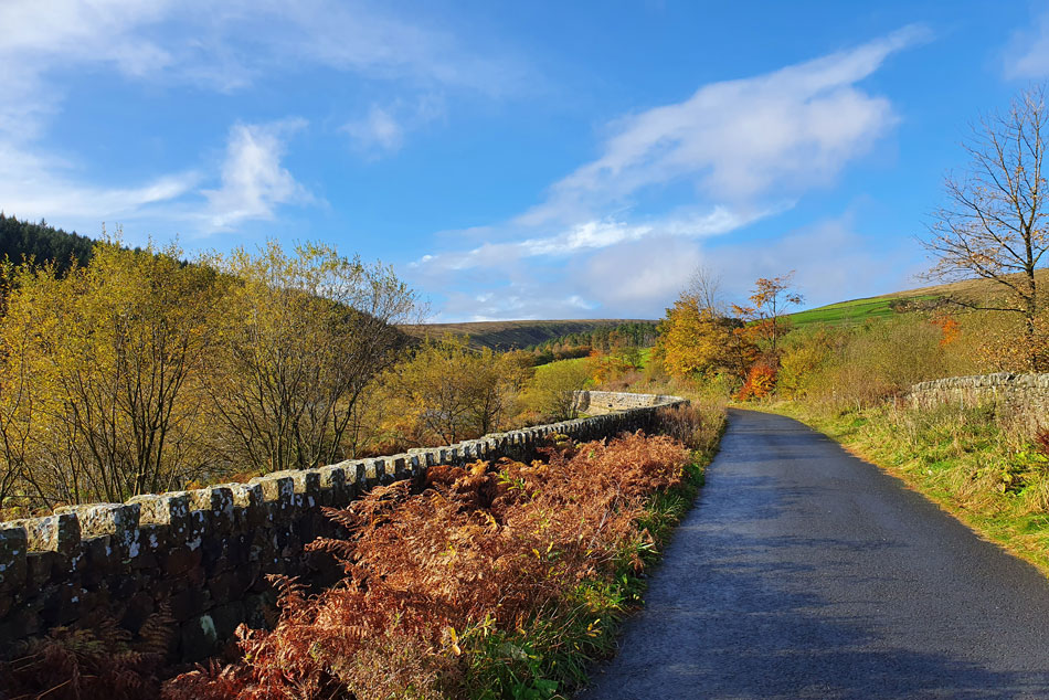
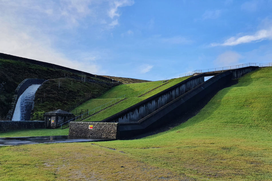
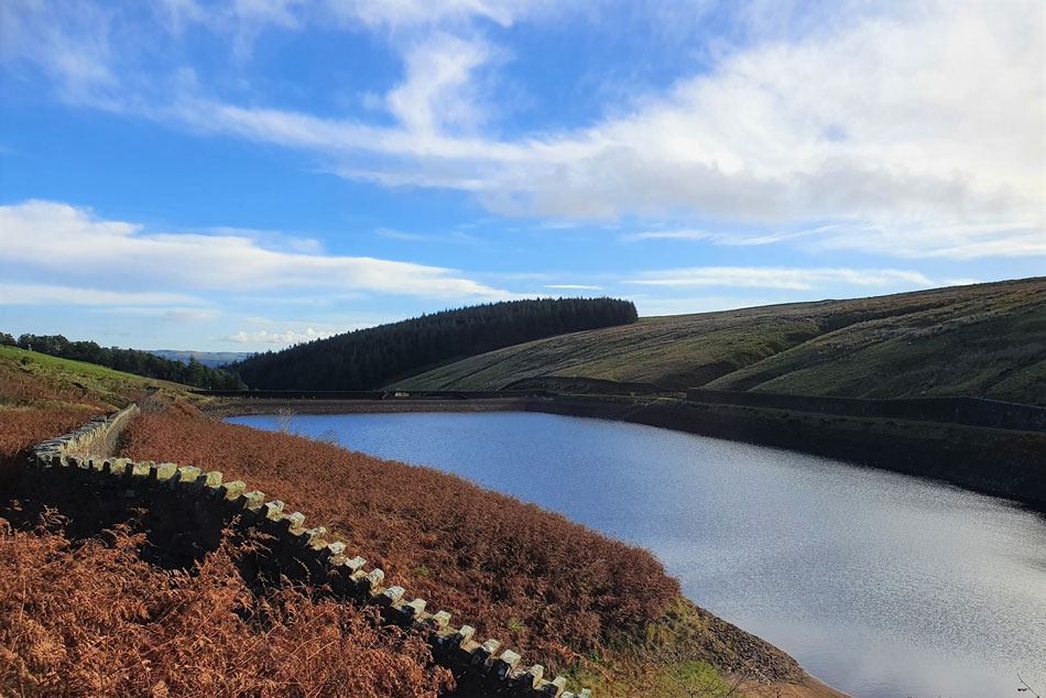
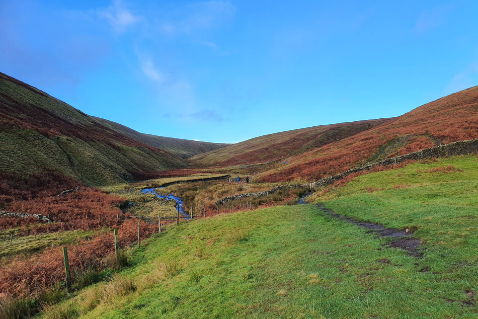
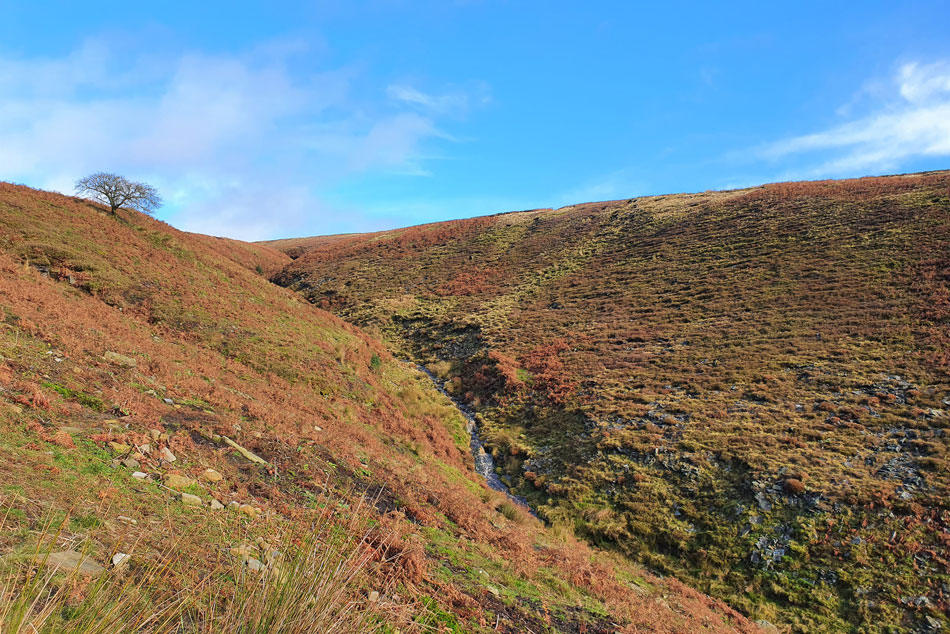
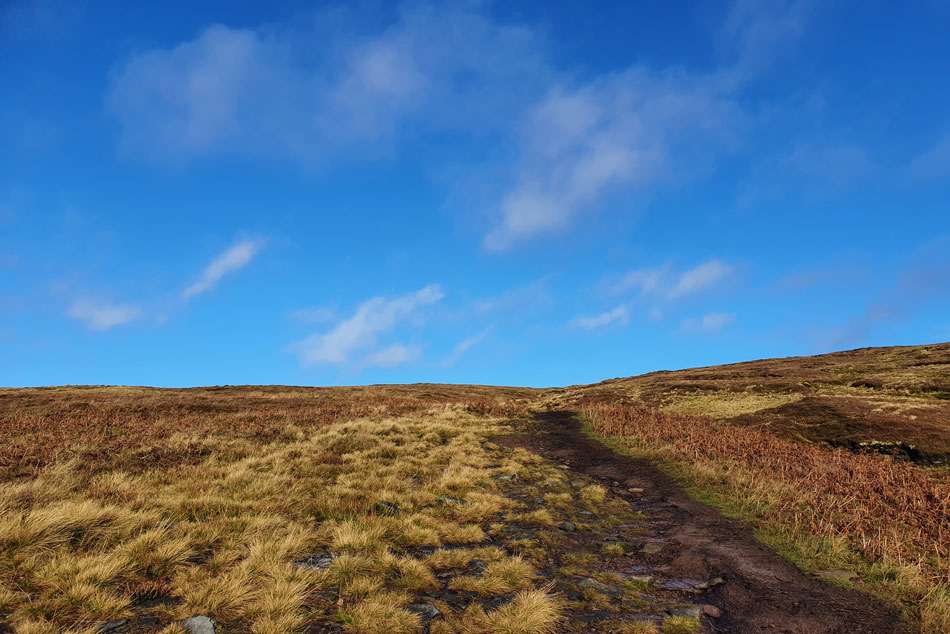
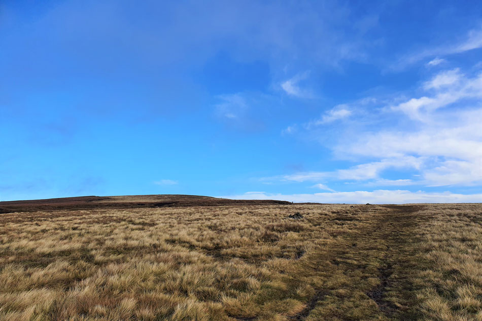
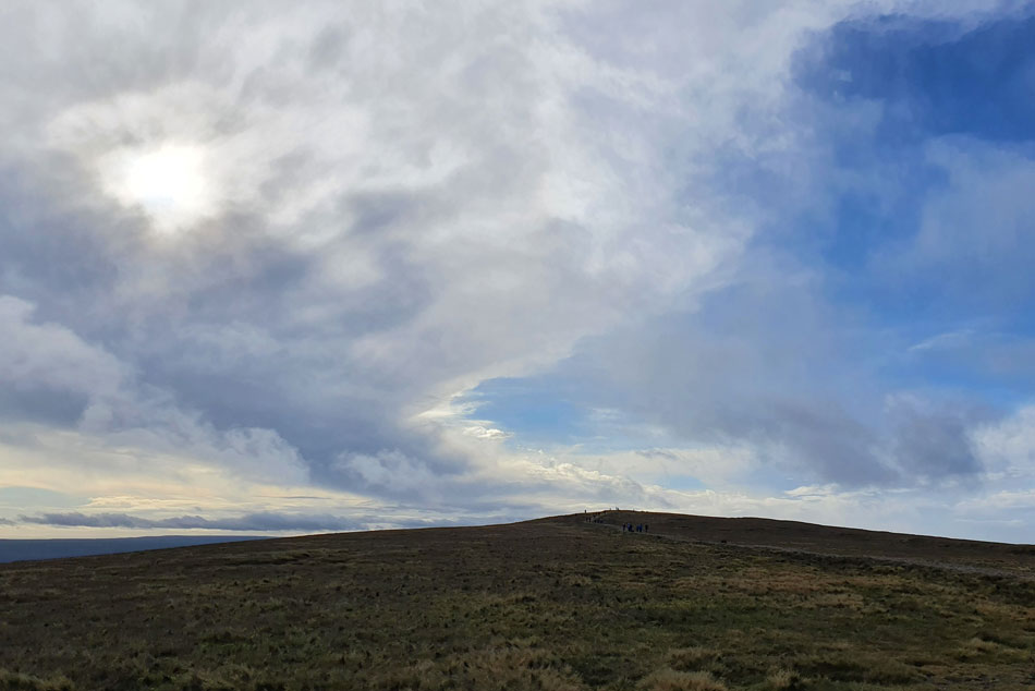
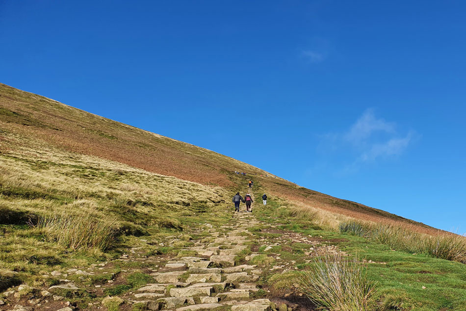
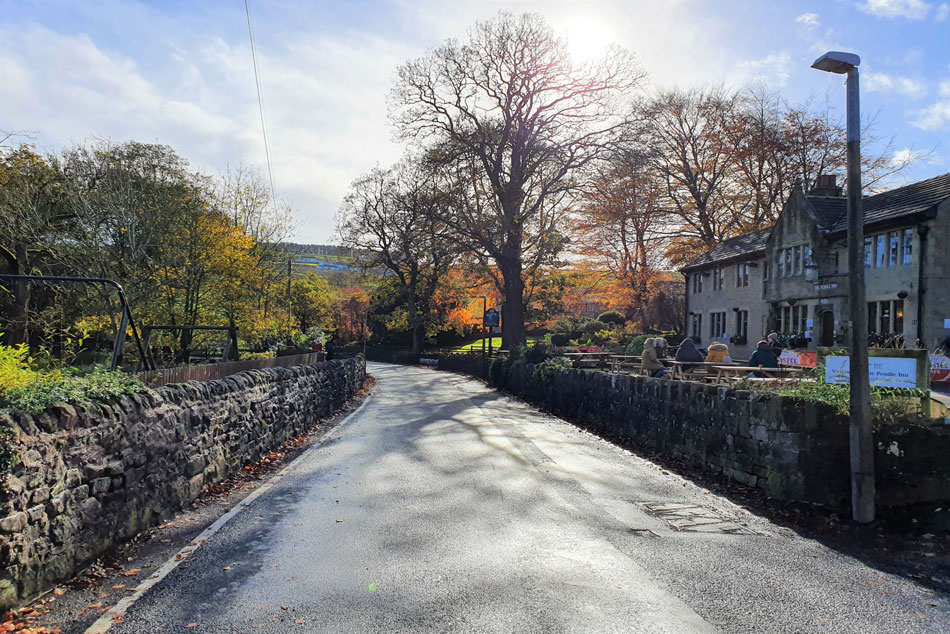
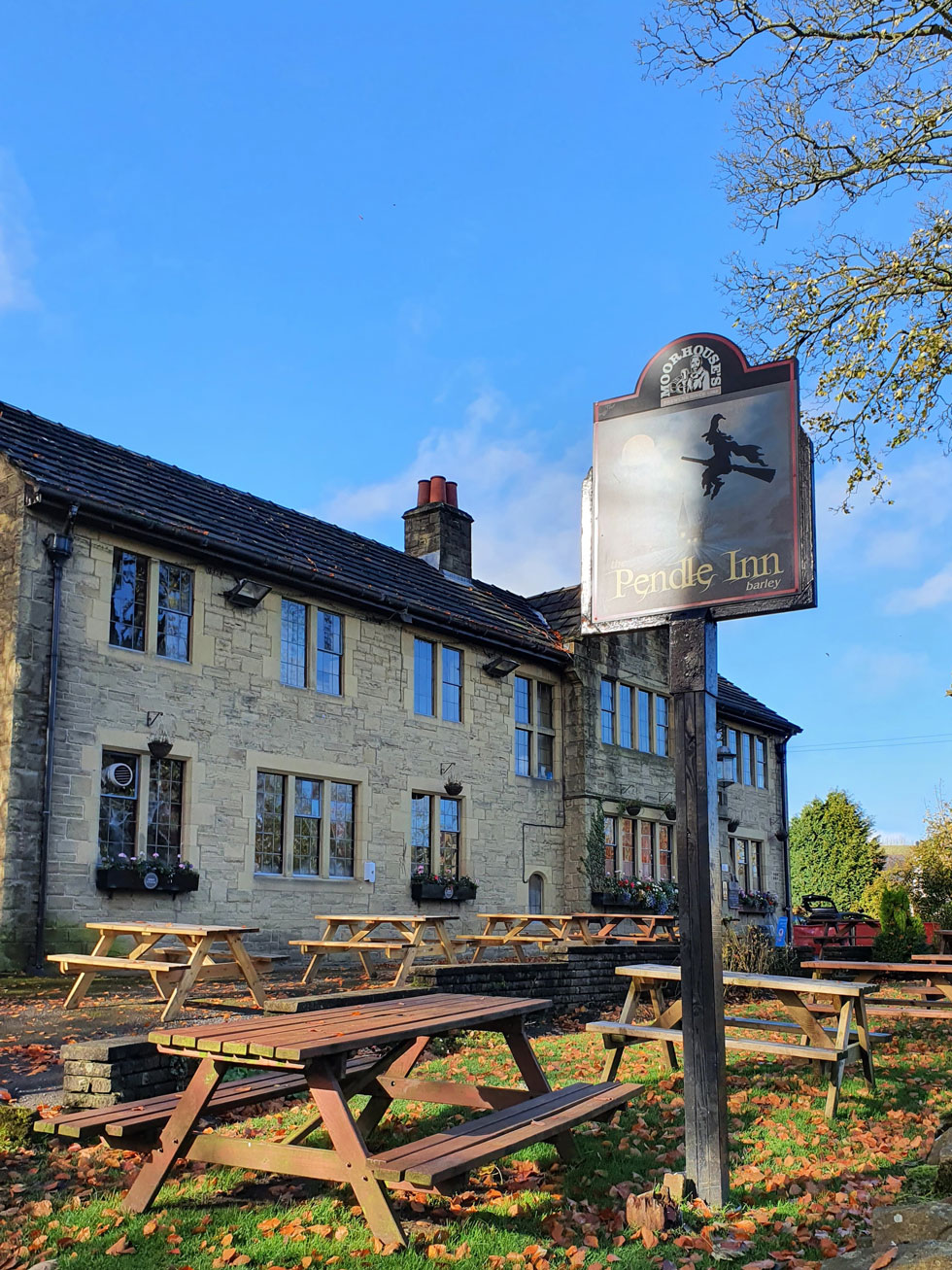
Most ascents of Pendle Hill start from the hamlet of Barley from where I'll head west along Barley Way passing both Ogden Lower and Upper Reservoirs before the steady ascent on Pendle Hill via Boar Clough. Days of heavy rain were reflected throughout my ascent negotiating swollen paths and plenty of mud.

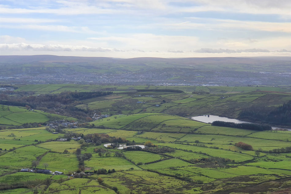
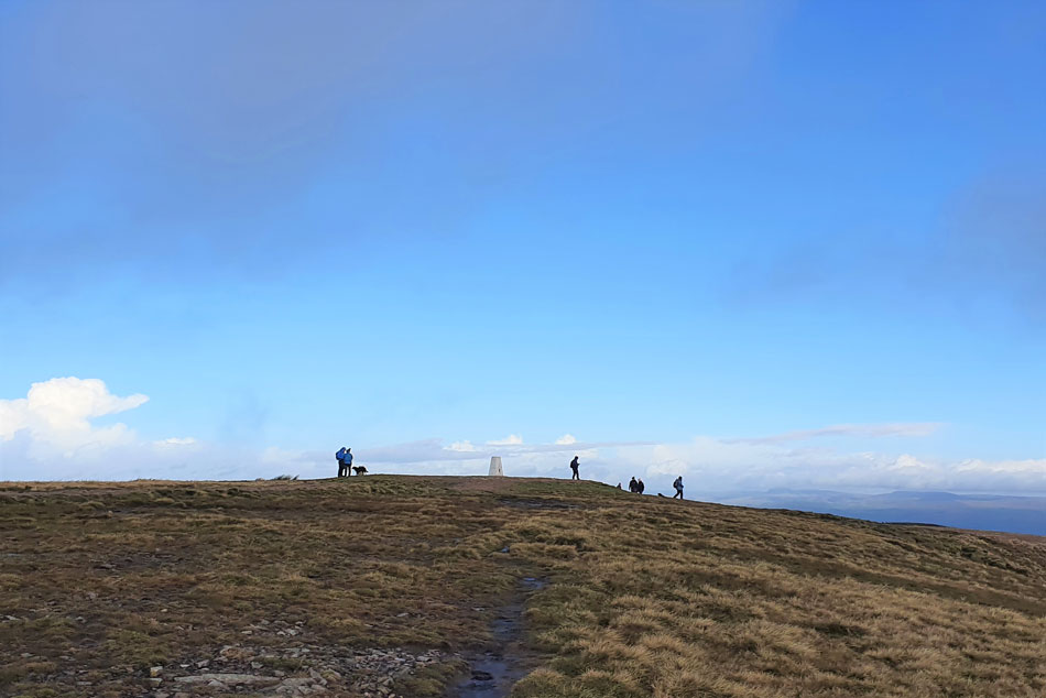
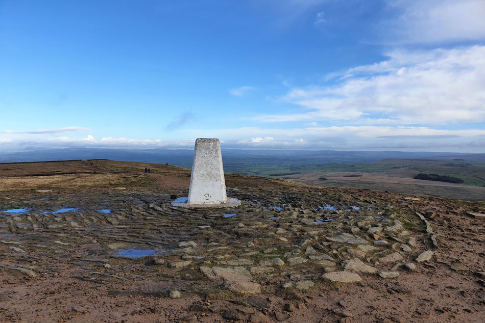
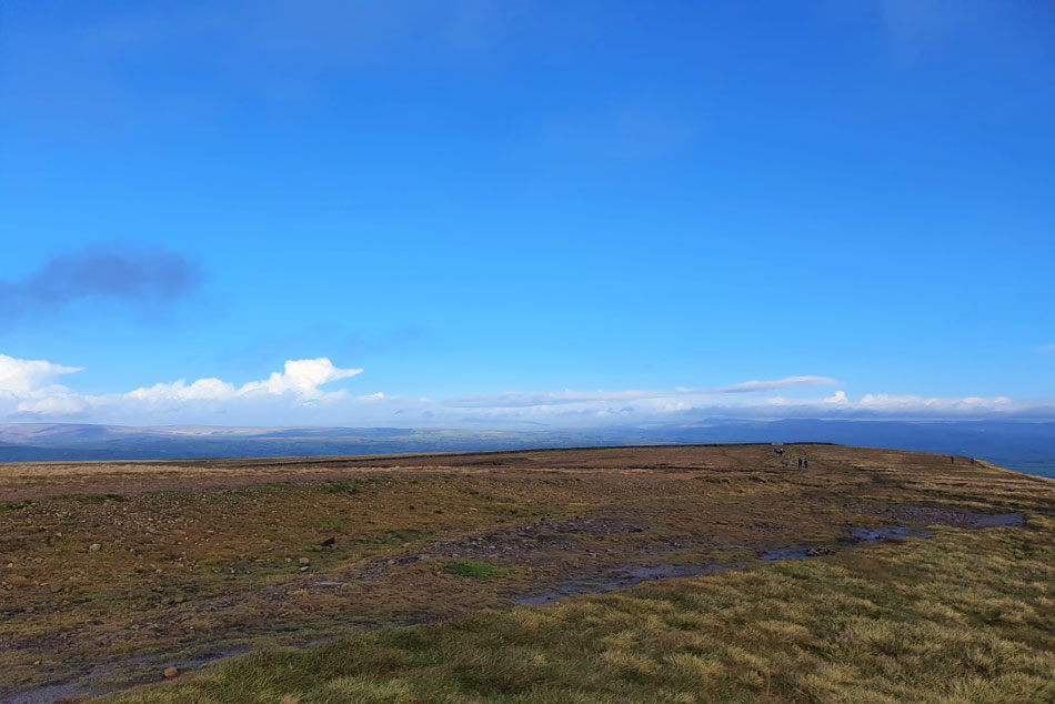
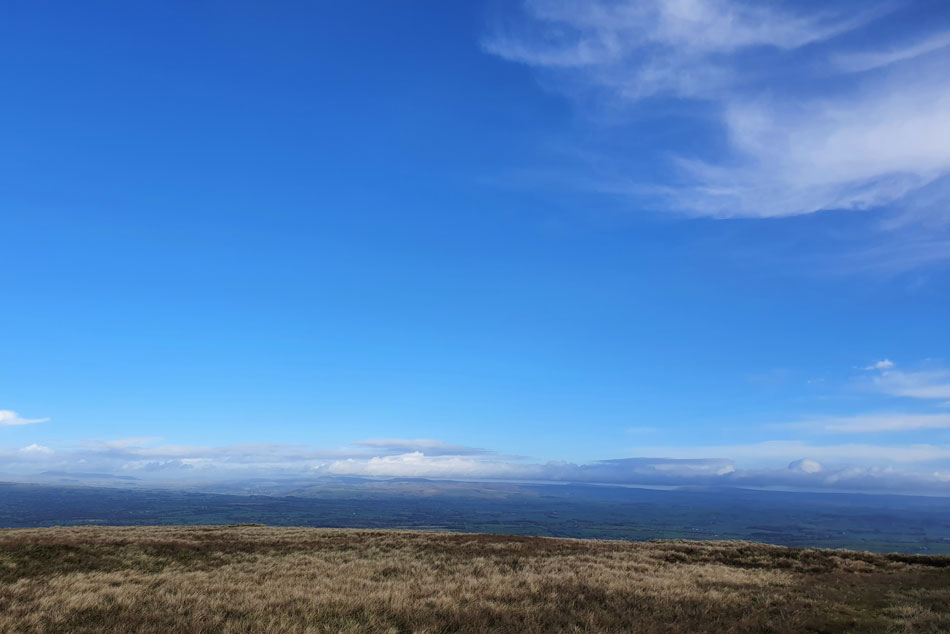
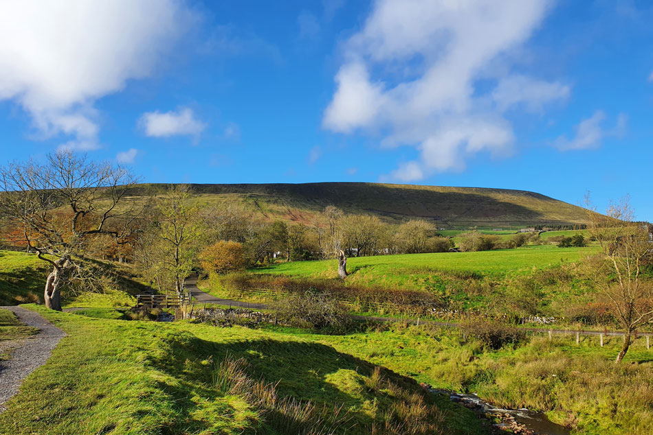
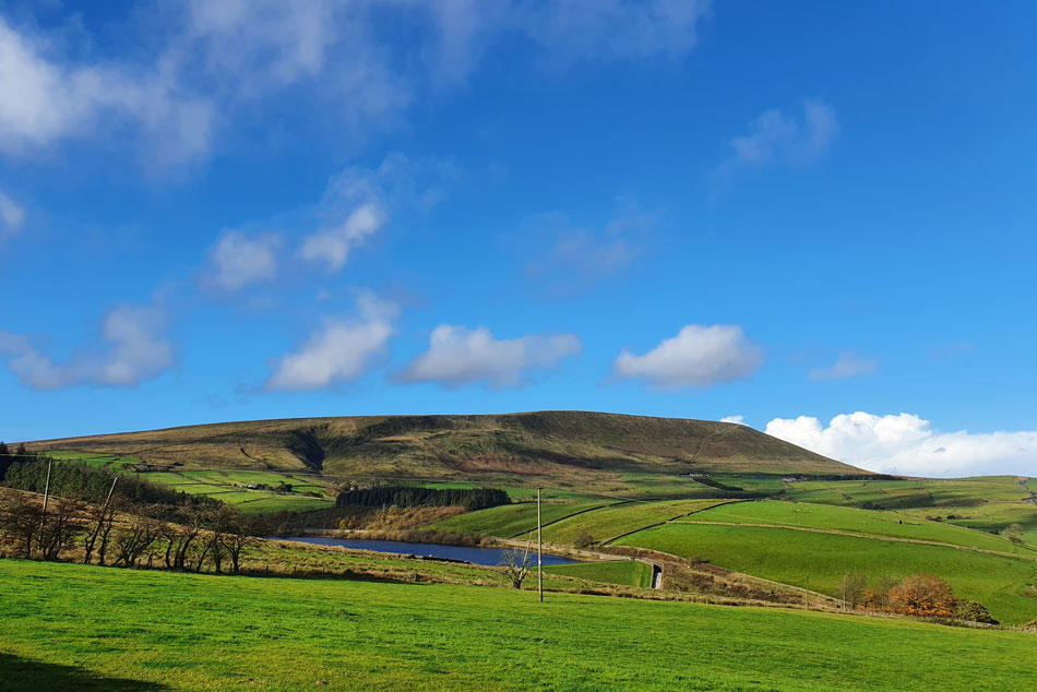
What surprised me most about Pendle Hill was just how pleasant the ascent is with striking views around the compass of the Lancashire hills, towns and villages not forgetting the views into neighbouring Yorkshire.

 
Ordnance Survey 103
Blackburn, Burnley, Clitheroe & Skipton
 

Overview
Ascent: 1,167 Feet - 356 Metres
Marilyn: Pendle Hill
Weather: Predominently Bright, Feeling Brisk At The Summit. Highs of 12°C Lows of 7.3°C Max Wind Speed 19mph
Parking: Car Park, Barley
Area: Forest of Bowland (Detached)
Miles: 4.7
Walking With: On My Own
Ordnance Survey: OL103
Time Taken: 2 Hours 15 Minutes
Route: Barley - Barley Green - Lower Ogden Reservoir - Upper Ogden Reservoir - Boar Clough - Pendle Hill - Pendle House - Pendle Way - Barley
 

Parking Details and Map
Nearest Post Code: BB12 9JT
Grid Reference: SD 823 403
Notes: A large car park complete with toilets and cafe. A £1.00 donation is required to park for the day, fantastic!


Map and Photo Gallery


Barley Green, Barley 09:30am 10°C
After leaving home I arrived at the car park in Barley a little under one hour later. The car park was around three quarters full and getting busier by the minute. The car park was rather large which included toilets and even a little cafe from where the smell of cooked bacon wafted over as I kitted up. I couldn't decide whether to take my DSLR or just use my mobile phone for todays pictures and in the end my mobile won as it does just a good of a job without the massive zoom of course. With my car packed I left the car park and treated my bladder to a pee at the toilets, turned right out the car park and continued straight ahead for Barley Green and the Ogden Reservoirs thereafter.

Lower Ogden Reservoir Dam Wall.
After leaving Barley behind I followed the tarmac lane passing what once was Nelson Water Works before the lane started to climb towards Lower Ogden Reservoir.

Pendle Hill from Lower Ogden Reservoir.
With the Reservoir reached I took a walk over the Dam wall from where I took this photo before heading back onto the Barley Green road.

Spence Moor (left) from Lower Ogden Reservoir.
The road rises through the trees seen left before coming to an end at Upper Ogden Reservoir which is seen as the low point to the left of the trees.

What a grand Autumn morning it is.
 

Arriving at Upper Ogden Reservoir Dam wall.
Accompanied by the sound of cascading water I arrived at Upper Ogden Reservoir dam where I pass a young family and 'mornings' were exchanged.

Looking back on Upper Ogden Reservoir.
With Fell Wood in the distance.

Ogden Clough.
That's Boar Clough seen centre right, my route of ascent but to reach it I pass through Ogden Clough first, it may not look it but beyond the wall it got pretty muddy indeed.

Boar Clough.
Climbing up alongside Boar Clough was the steepest part of todays ascent, after that it's a pleasant gradual walk all the way to the summit.

You can't get better than that.
 

The summit appears.
Over on the left which is looking quite busy too.

The view over Barley.
With Lower Ogden Reservoir seen right. The two small lakes indicate the whereabouts of the Pendle Way which I'll be returning by later.

Pendle Hill summit.
There maybe blue skies over head but it ain't half nippy.

Pendle Hill summit trig point.
The crowds cleared and I was able to get a summit photo. Next I'm heading across the summit towards the wall seen up ahead.

Good stuff.
Still mighty cold so I took out my anemometer and took a reading of 7.3°C in 19mph wind, that explains it.

The Yorkshire Dales from Pendle Hill.
If I squint I can just about make out Ingleborough with Whernside over 20 miles away.

Looking back towards the summit.
 

Looking back up the steep path on Pendle Hill East flank.
The good news was the sun came back out for my descent, the bad news was the wind had picked up which made my eyes water, for anyone passing wondering why tears were streaming down my face it's because I have sensitive eyes especially in the wind.

Passing Brown House with Pendle Hill in the distance.
On the Pendle Way.

The Pendle Way.
Parts of which are very scenic such as this lovely spot.

Looking back on Pendle Hill from the Pendle Way.
It's positively tropical now!

Back in Barley.
The car park is just around the corner.

The Pendle Inn, Barley.
 

Pendle Hill and Lower Ogden Reservoir from Newchurch in Pendle.

Despite The Pendle Way being quite busy once back in Barley only the odd pick up or Land Rover passed me, sadly the same couldn't be said about the car park which was full to bursting while more cars circled waiting for a free space. It's just about midday and about as pleasant as an Autumn day can get and with the smell of cooked bacon wafting over I'm ready for a feed but I'll stick to chicken salad wrap I have in my pack.

Feeling hungrier than a horse I couldn't but help take a few bites of my lunch before starting my journey home. With Barley disappearing in my rear view mirror I drove up the hill towards Newchurch in Pendle which was when I spotted this fabulous view of Pendle Hill so I stopped the car in a nearby lay-by and took the last image of the day before returning to my car to finish lunch while pondering what a beautiful county Lancashire is.


Back to top