Whinfell Ridge and Borrowdale Valley from Huck's Bridge

12th September 2020

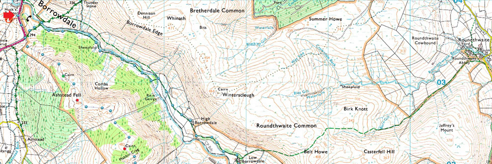
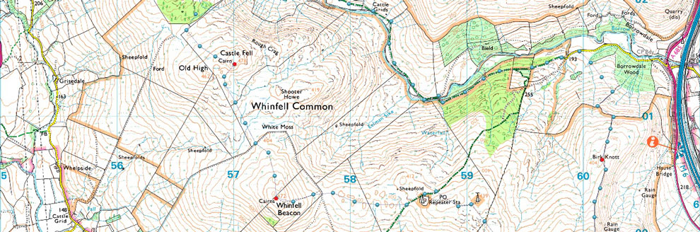
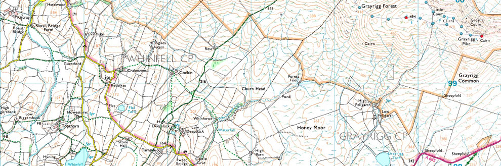
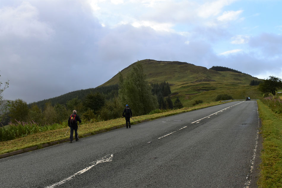
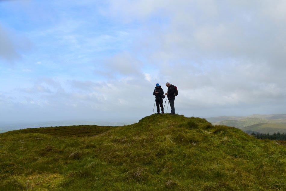
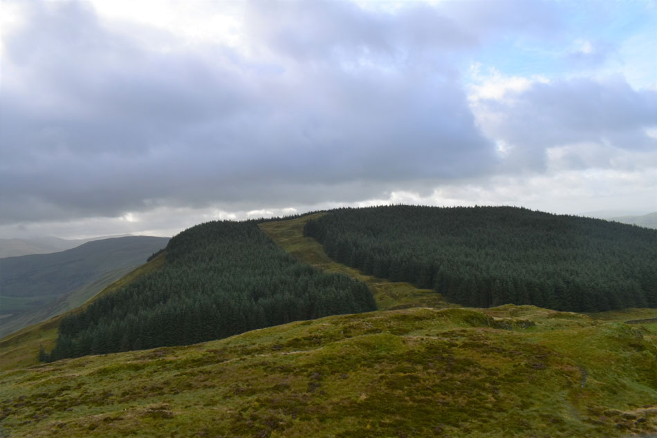
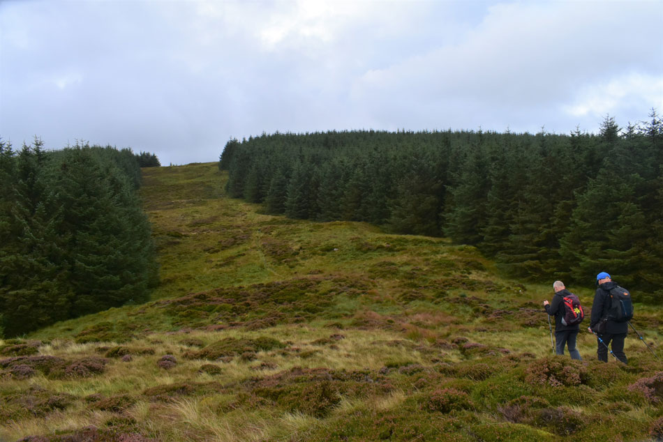
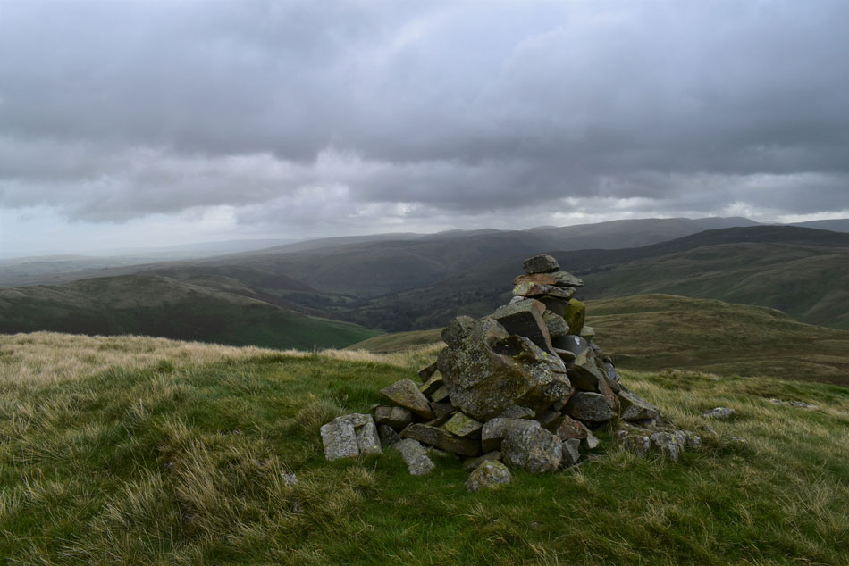
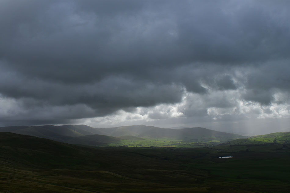
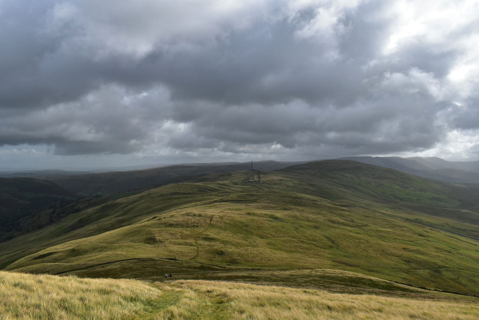
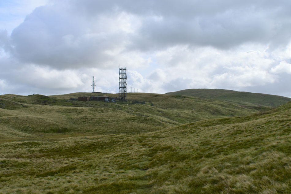
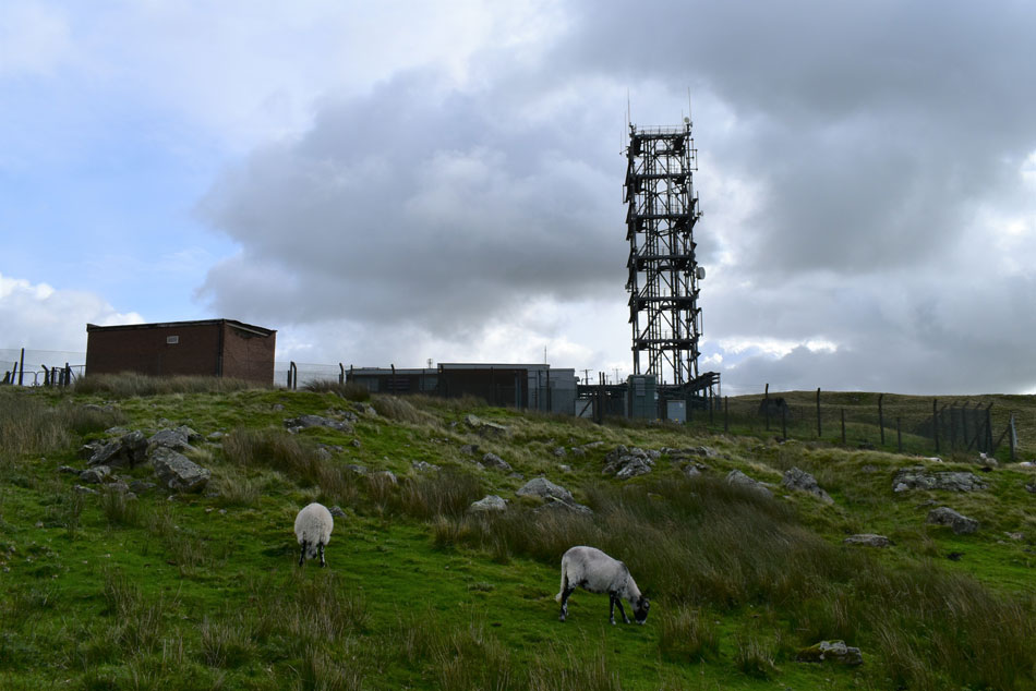
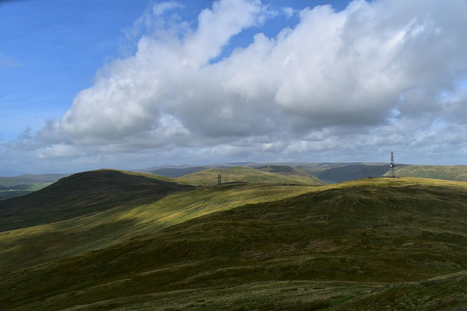
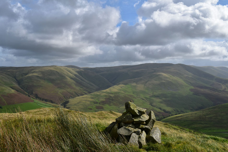
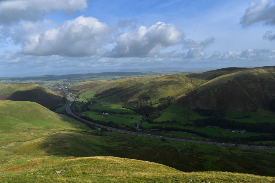
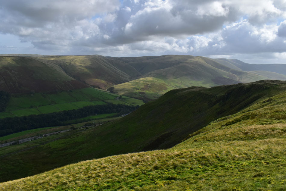
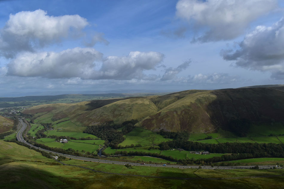
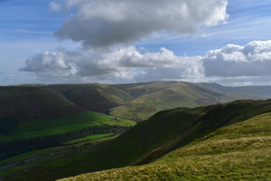
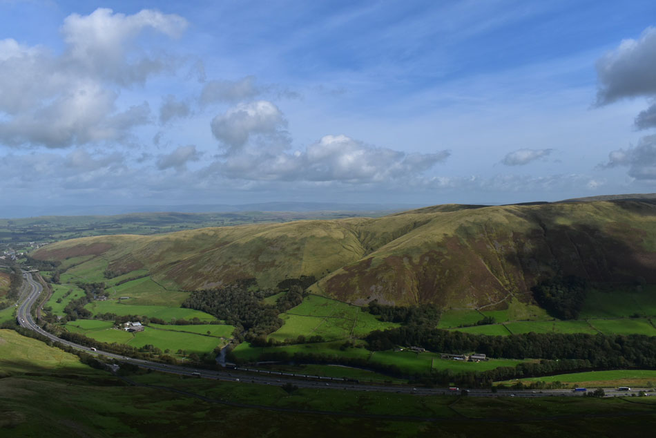
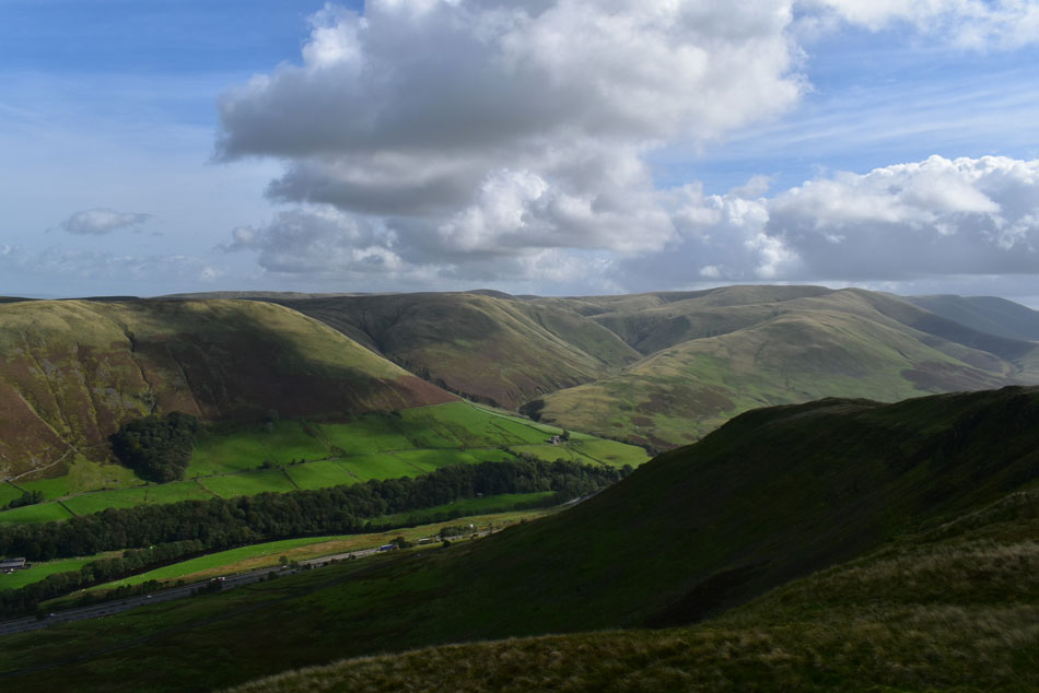
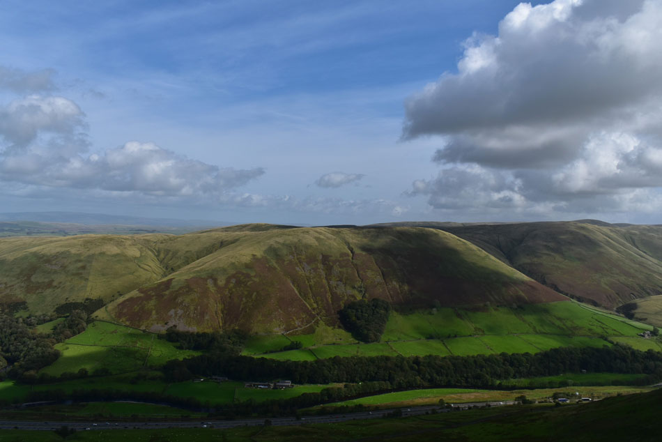
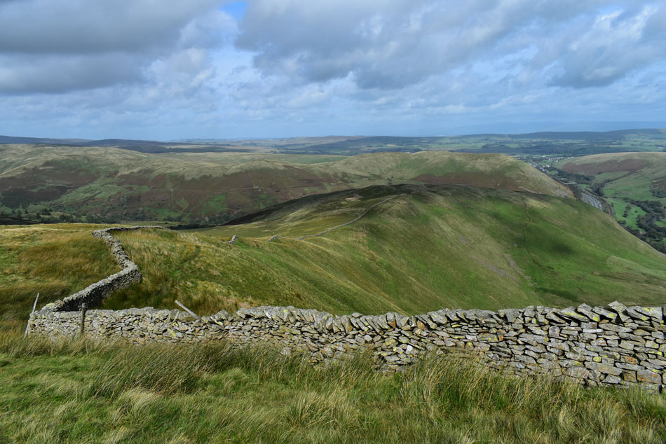
Where does all the time go? It's been twelve weeks since the trio last did a walk together so for todays walk we thought we'd plan something a little out of the ordinary by walking the full Whinfell ridge then return via the beautiful Borrowdale valley.

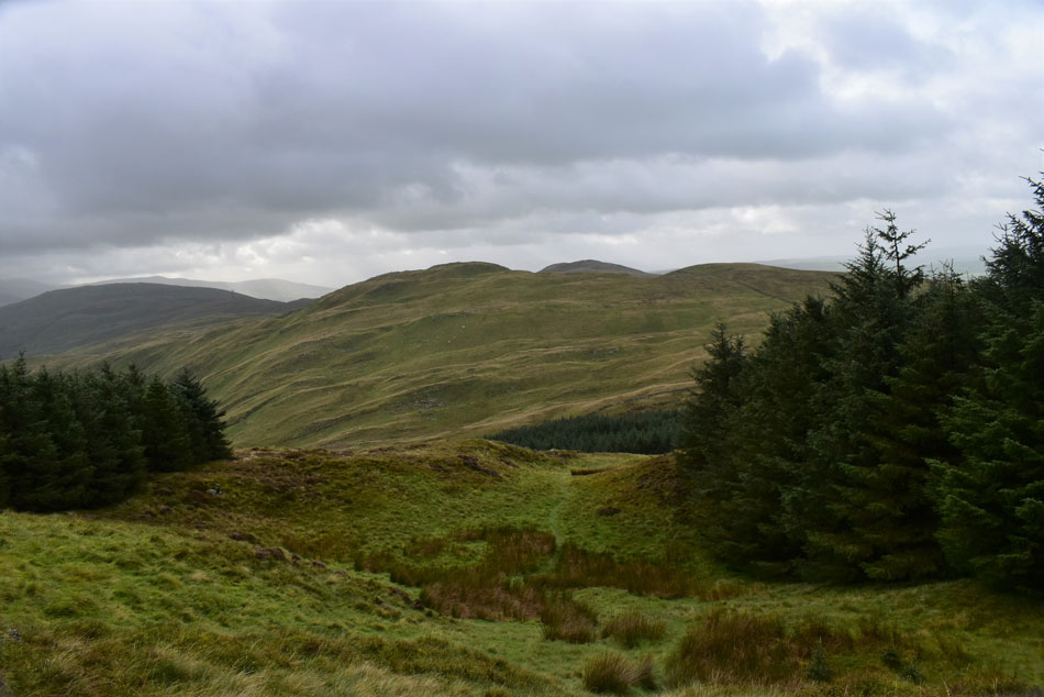
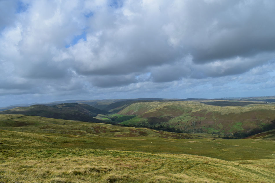
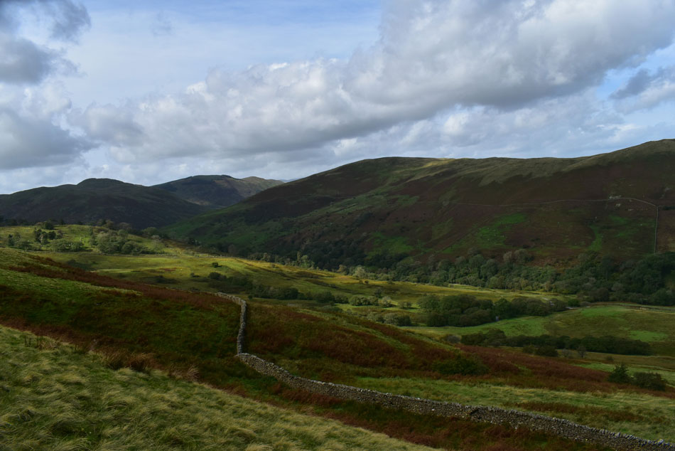
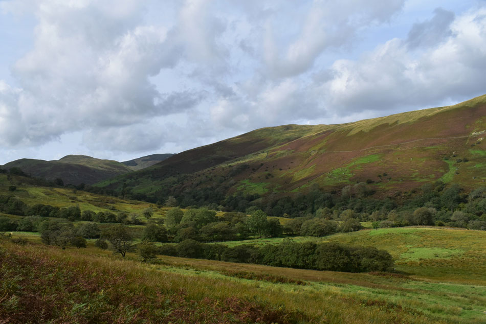
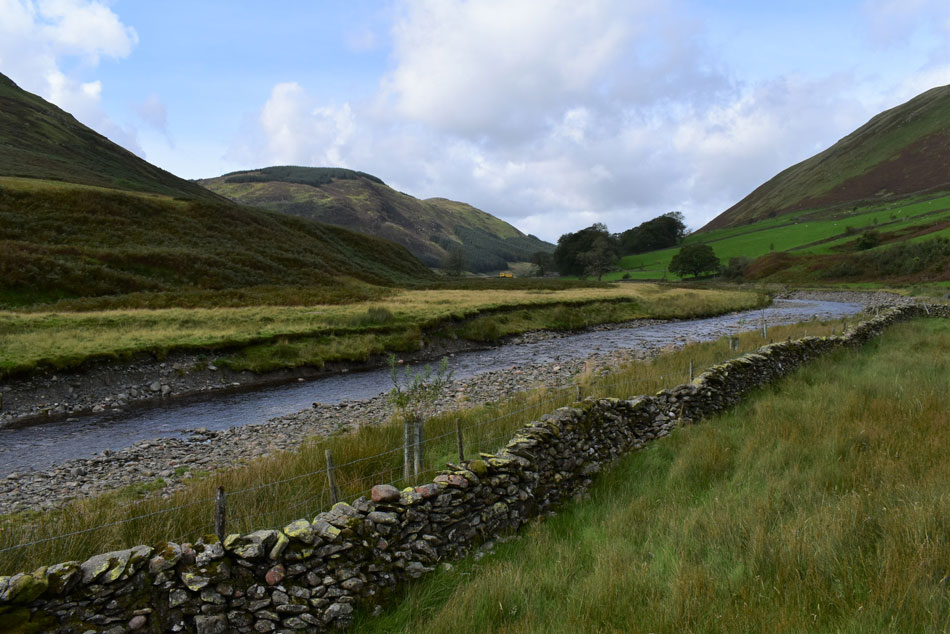
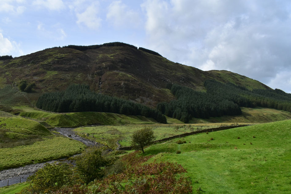
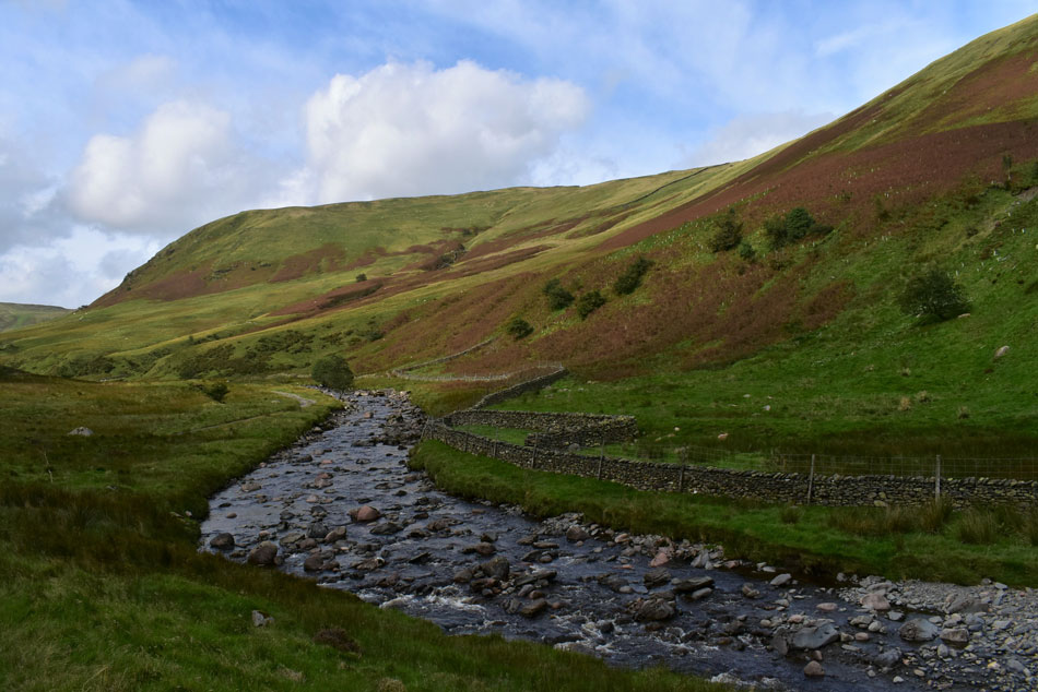
Borrowdale is an area of Lakeland that we have seldom walked which is why we jumped at the chance of getting to know it better, that said, David and Rod have already rough camped the Whinfell ridge last month when what was supposed to be a perfect camping day turned into a wash out, I guess what they did see of Borrowdale was enough for us to return hence todays walk.

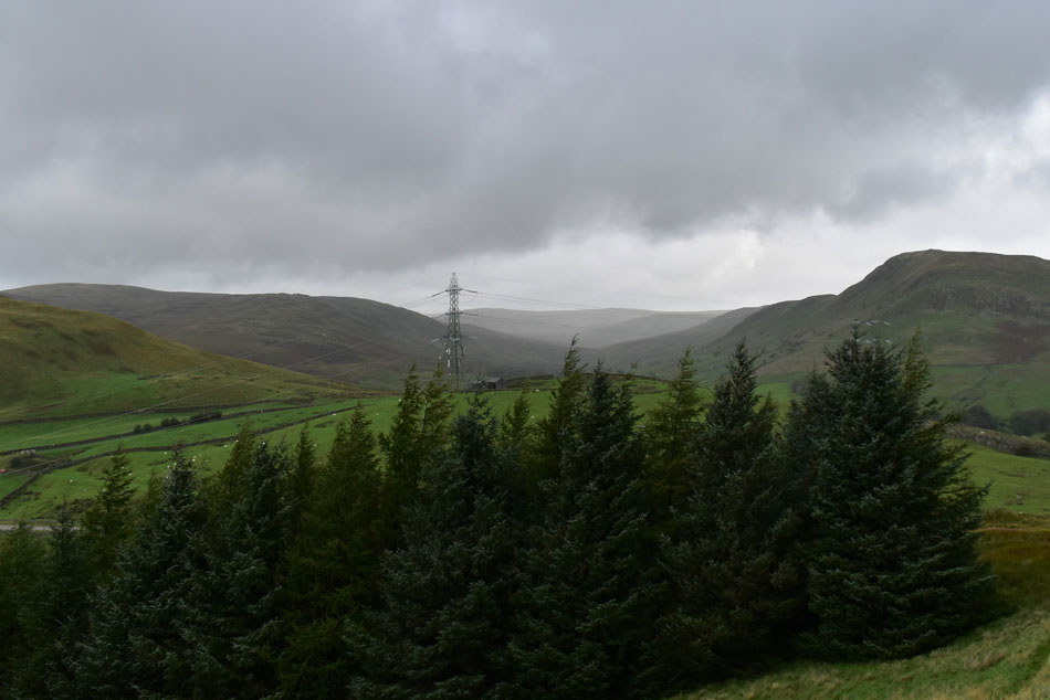
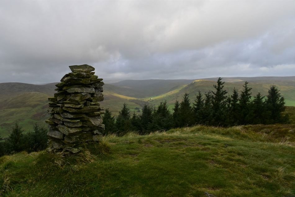
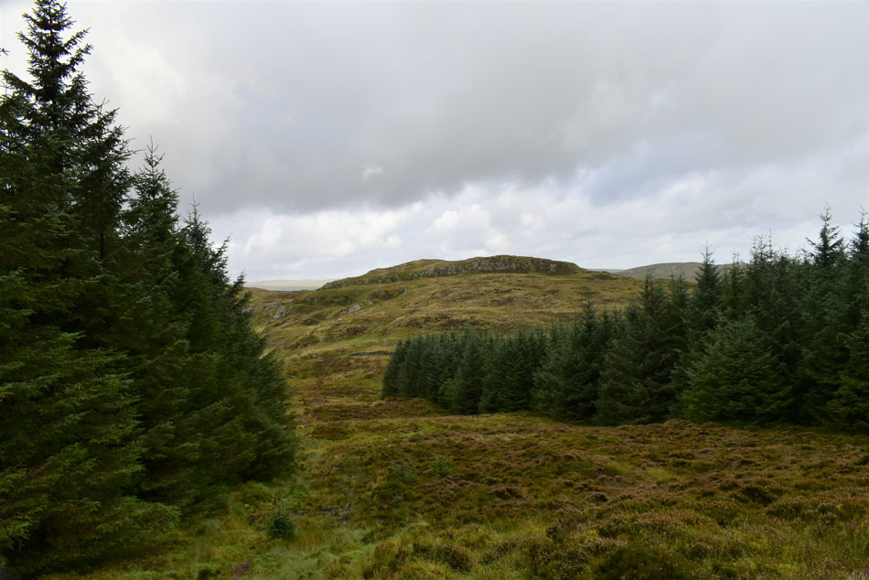
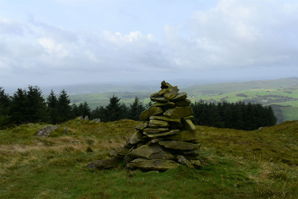
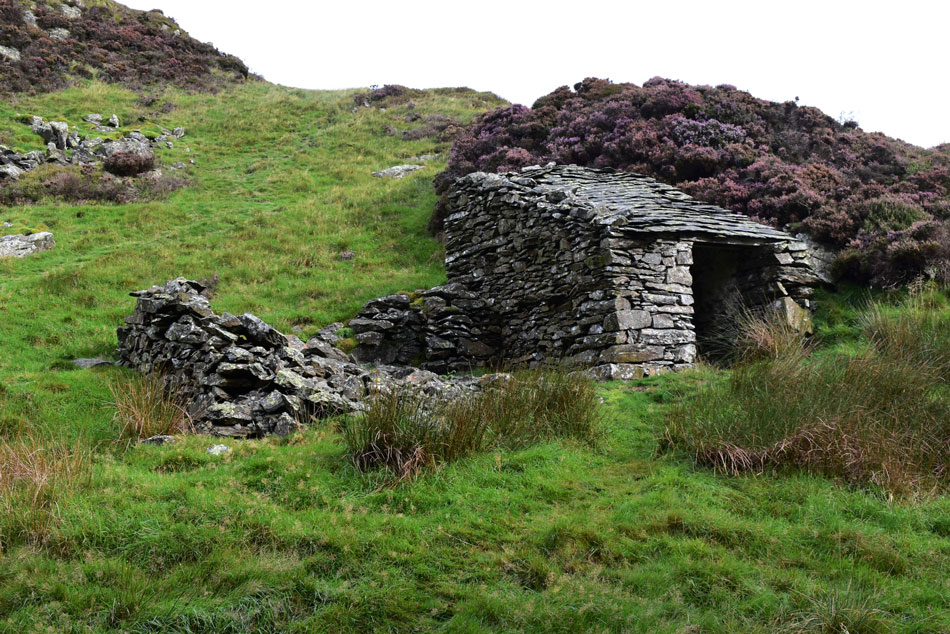
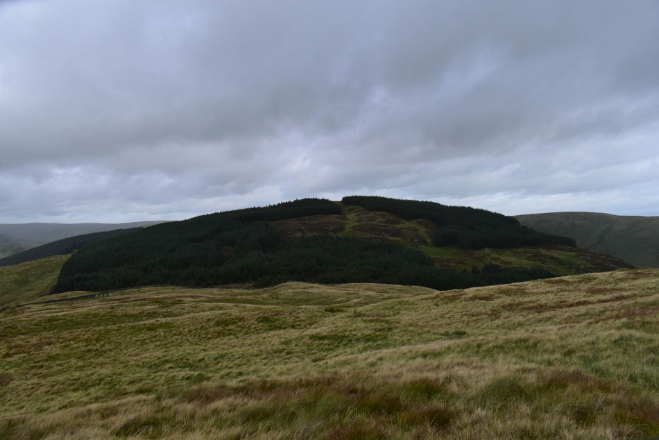
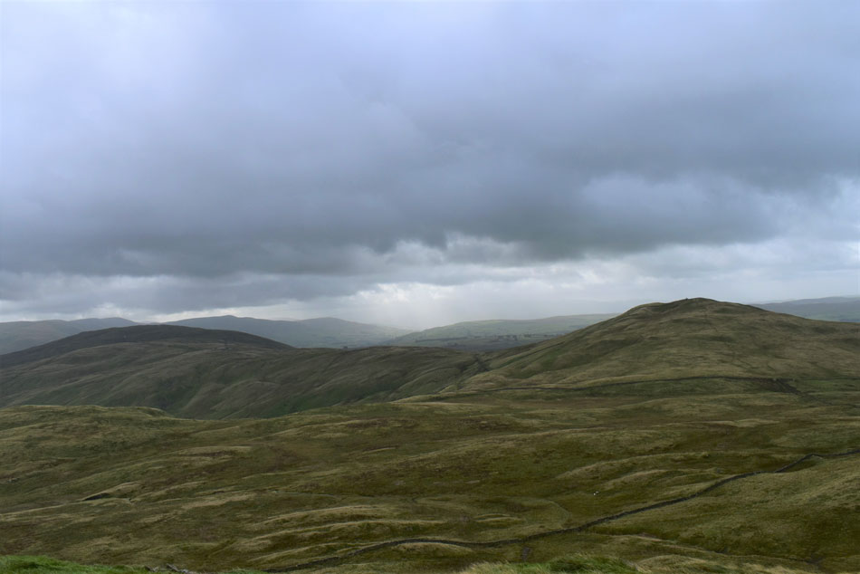
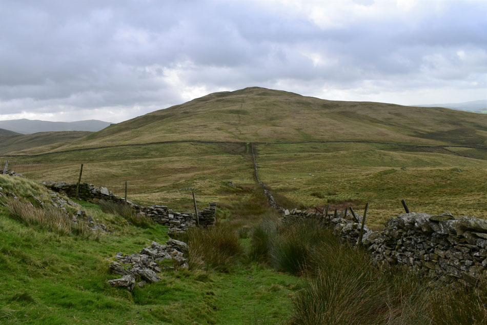
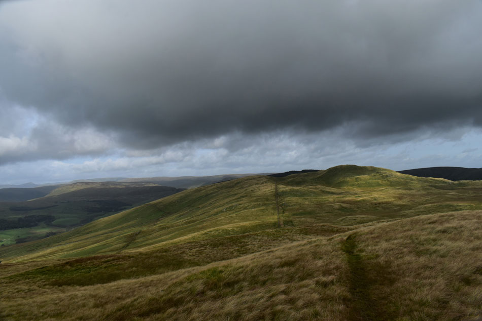
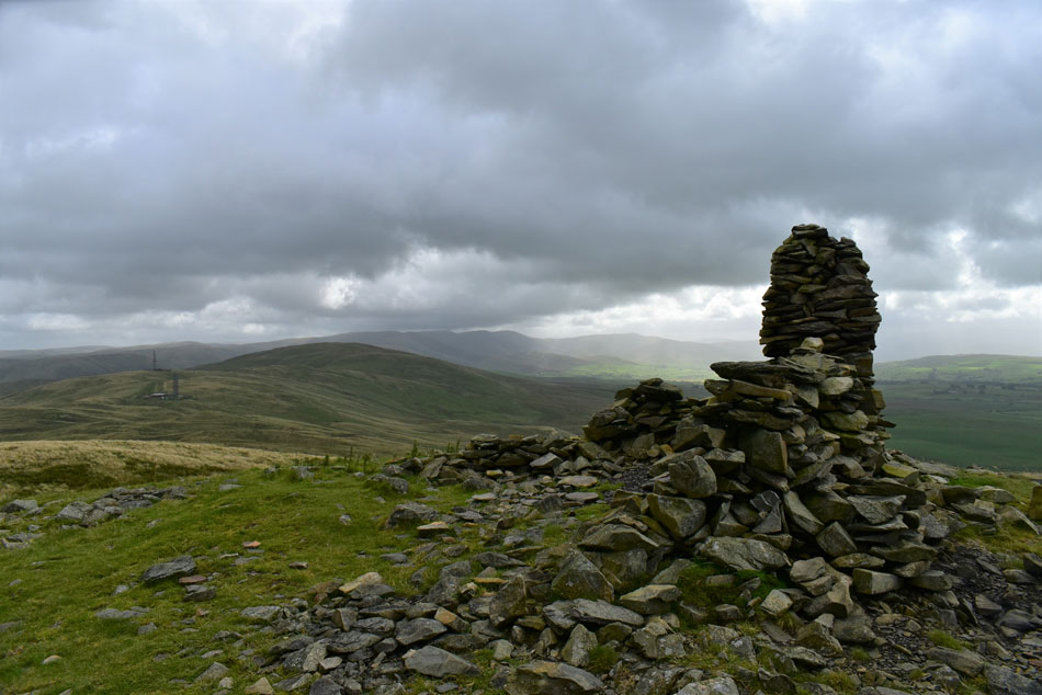
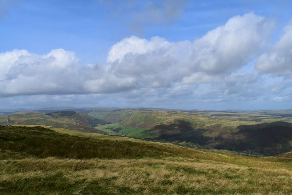
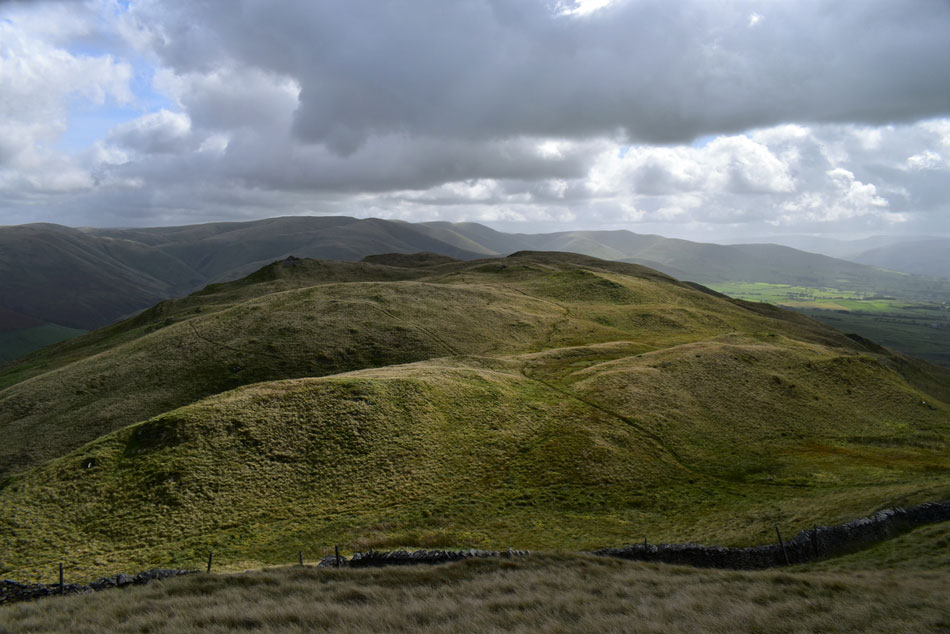
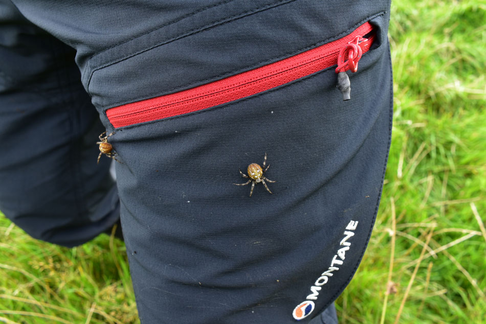
If your looking for remoteness Borrowdale has it in bucket fulls but come prepared for a hard day on the fell where despite the rolling grassy ridges the ground is quite often steep, pathless and boggy as we found out today, but all that aside, what a place.

 
Wainwright Guide Book
The Howgills & Adjoining Fells


Overview
Ascent: 2,422 Feet - 738 Metres
The Howgills & Adjoining Fells: 7, Ashstead Fell - Mabbin Crag - Castle Fell - Whinfell Beacon - Grayrigg Forest - Grayrigg Pike - Birk Knott
Weather: Overcast to Start With Brighter Spells Developing PM Highs of 14°C Lows of 12°C Windy Over The Summits
Parking: Layby, Huck's Bridge A6
Area: Far Eastern / The Howgills & Adjoining Fells
Miles: 11
Walking With: David Hall & Rod Hepplewhite
Ordnance Survey: OL7
Time Taken: 6 Hours 40 Minutes
Route: Huck's Bridge - Ashstead Fell - Mabbin Crag - Castle Fell - Whinfell Beacon - Repeater Station - Grayrigg Forest - Grayrigg Pike - Little Coum - Birk Knott - Borrowdale Beck - Low Borrowdale - High Borrowdale - Huck's Bridge
 

Parking Details and Map
Nearest Post Code: LA8 9LG
Grid Reference: NY 552 037
Notes:  


Map and Photo Gallery


Ashstead Fell from Huck's Bridge.

We had arranged to meet at 08:15am on the lay by at Huck's Bridge where I found David had already arrived soon followed by Rod. Further down the lay by a couple are also kitting up who would pass us along the Whinfell ridge later.

It still feels strange not being able to greet by our usual handshakes especially after not seeing each other for so long but the urge is resisted. We're meant to be in for a bright morning but that certainly isn't the case as we kit up shivering while over head grey skies are gathering, well at least it isn't raining.


A murky view into upper Borrowdale from the ascent of Ashstead Fell.
No sooner had we crossed the A6 did it start to rain which thankfully didn't develop into much but the grey skies remain a constant worry. It's a steep start from the off and once we had crossed the forestry track the steep ascent continues until a viewing cairn is reached.

Hints of Sunshine over upper Borrowdale.
I wonder how many people mistake the viewing cairn as the summit of Ashstead Fell, I must admit it nearly fooled us too!

David and Rod, Ashstead Fell summit.
From the viewing cairn we continue south and locate Ashstead Fell summit as the grassy rampart with no cairn as seen in the photo. By now we're fully exposed to the forecasted wind which is a tad on the cool side but hats and gloves remain packed while we live in hope that the forecasted sunshine is on its way.

Mabbin Crag from Ashstead Fell.
Mabbin Crag is the next summit on the ridge which is accessed via the fire break between the woodland.

Mabbin Crag fire break.
 

Looking back on Ashstead Fell from the fire break.

It came as a little surprise that we had to scramble down the crags from Ashstead Fell summit which required hands on rock contact which meant our walking poles were (safely) thrown like javelins into the bog below before crossing a stone wall via the first of many ladder style's found on the ridge.


Mabbin Crag summit cairn.
At the top of the fire break we head right and soon Mabbin Crag summit cairn came into view. It's from Mabbin Crag do you get the first proper view of the Whinfell ridge it was just a pity the light was so low.

Castle Fell, Whinfell Beacon and Grayrigg Common from Mabbin Crag.
As you can see the Whinfell ridge is anything but straight which gives the ridge its own uniqueness.

Stone Bothy, Mabbin Crag.
We started the descent from Mabbin Crag and came across the old bothy which sadly has fallen into disrepair. From the bothy we head through more woodland towards Castle Fell.

Looking back on Mabbin Crag from the ascent of Castle Fell.
The woodland was extremely boggy and careful negotiations were required in order to avoid a soaking, unfortunately my right boot succumb to the bog which sank so deep bog water leaking in over the top of my gaiter and I only managed to retrieve my leg with an almighty pull followed by a loud suction noise afterwards! Well, that's one way to christen the new boots I was wearing.

Castle Fell summit cairn.
After crossing another ladder style we took on the steady, then steep ascent on Castle Fell where we were again fully exposed to the wind.

Whinfell Beacon (right) and Greyrigg Forest (left) from Castle Fell.
David quickly spots our descent path which would lead us back towards the stone wall and Whinfell Beacon thereafter, sadly due to the high wind we couldn't spend much time at Castle Fell summit and no sooner had we arrived we were leaving...grand views though.

Whinfell Beacon seen over White Moss.
It's just a case of following the wall all the way towards the summit.

Looking back over White Moss towards Castle Fell.
Is that the sun trying to come out?

Greyrigg Forest and the repeater stations from Whinfell Beacon summit.
Whinfell Beacon was easily reached at a time when the couple who had been kitting up with us at the lay by caught up and 'morning's' are shared.

Moody Howgills from Whinfell Beacon summit.
With Greyrigg Tarn seen right.

Descending Whinfell Beacon with views of the repeater stations and Greyrigg Forest ahead.
It's definitely starting to brighten up now which was a great mood lifter.

Repeater Stations and Greyrigg Forest.
The sunshine was periodic at best but there was certainly promise in the skies overhead. David and Rod point out the area on which they had rough camped a couple of weeks ago adding the area which they had used as their bathroom which was nice!

Passing the first mast.
We left the ridge path and joined the tarmac access road which passes by both mast and out building. It was here from out of nowhere are we passed by a young farm girl on a quad bike while her sheep dog rode on the back. Seeing a dog on the back of a quad isn't uncommon in most rural areas but what always amazes me is how the dog manages to stay on the quad which must require great balance.

Whinefell Beacon, Castle Fell and Mabbin Crag from the ascent of Greyrigg Forest.
The tarmac road came to a end at the second mast where we head right and descended into a hollow below Greyrigg Common. I don't think any of us anticipated how steep the ascent on Greyrigg Common felt moreover with the boggy conditions we had been presented with. Mabbin Crag is starting to look a long way away now but at least the sun is coming out.

Sheep skull, Greyrigg Forest summit.
We followed a faint path for the steeper part of the ascent which ran into nothing from where we followed our noses over hummocky ground towards the Greyrigg Forest summit, the only summit on the ridge with a trig point. It's not quite midday but bellies are starting to rumble and it's agreed we will stop for lunch at Greyrigg Pike, the most easterly summit in the Lake District National Park.

Views into Borrowdale from Greyrigg Forest.
 

Greyrigg Pike with the Howgills in the distance.
The actual summit is found at the far eastern tip of the fell as opposed to the viewing cairn (seen left) above Little Coum. The great feature of Greyrigg Pike is its proximity to the M6, it's a fell I often look up at during my journeys home and today I can look up and finally say "I've been up there"

The Howgills from Greyrigg Pike.
We descended Greyrigg Forest and picked up the footpath towards Greyrigg Pike not before passing the large viewing cairn to our left. The ground is swollen and locating the cairn seemed to be drawn out more so because of how wet underfoot it was. Nevertheless the cairn was located and for a few minutes hungry bellies and wet boots were forgotten about. What a view!

Lunch with a view.
After a few minutes on Greyrigg Pike we re-traced the path back towards the large viewing cairn which overlooks the M6 as it passes through Tebay gorge.

Views over Great Coum towards Greyrigg Pike and the Howgills.
 

Roger How and Powson Knott.
Leading onto Blease Fell further right.

Great Coum towards Greyrigg Pike and the Howgills.


Blease Fell.
With Heart Wood seen below.

Descending towards Birk Knott.
After lunch we were back on our feet and started to make the gentle descent northwards towards Birk Knott.

The Borrowdale valley from Birk Knott.
Crikey, we're a long way from the cars chaps.

Borrowdale.
We left Birk Knott then veered left and passed over a wall onto the lower slopes of the valley. Spotting a deer gate we made our way towards it which lead us through bracken, bog and wild grass but the incline was gentle and we took in these amazing views of the valley as we made our way down.

Borrowdale.
With Shooter How, Castle Fell and Mabbin Crag seen left.

A couple of hitch hikers.
After wading through long grass I emerged at the other side with two Garden Spiders crawling up my trouser leg, being the outdoors type you'd have thought two little spiders wouldn't bother me but you'd be wrong!

Mabbin Crag and Ashstead Fell from Borrowdale Beck.
We knew we were in for a long walk back through the valley but that didn't matter when the views where as good as this. By now the sun was out and was very pleasant to walk under which made for the perfect afternoon to walk back to the cars.

Passing through Low Borrowdale Farm.
The footpath passes through the Farm where we encountered a few friendly locals.

Cockerel and Chicken.
Possibly the two tamest birds we'd ever come across, these two legged friends followed us for a few yards before we were surrounded by more chickens further along the path, all very inquisitive and very tame.

Mabbin Crag and Ashstead Fell from High Borrowdale.
 

Borrowdale Edge from Borrowdale Beck.

Borrowdale Beck accompanied our entire route through the valley crossing the beck twice, having the sound of flowing water within earshot made for the perfect exit through the valley. More walks were logged one of which will include the Whinash ridge to the north accompanied by the same walk back through the valley afterwards, we simply couldn't recommend Borrowdale enough. The sound of traffic travelling along the A6 brought us back into reality and what had been a dream walk was drawing to an end. We had been walking headlong into wind which was getting stronger but due to the pleasant afternoon sunshine we thought little of it.

A steep pull over tarmac lead us back onto the A6 which by now was much busier than we had left it this morning. The gloom of the morning had been replaced by sunshine and despite my aching feet I'm sure we all savoured those last yards back to the cars.


Back to top