|
Hayeswater Circuit |
 |
 |
14th July 2020 |
 |
|
I'd originally planned to walk Birketts Great Borne walk today but the forecast looked more favourable in the east of the park so I referred to my mapping software to see where I hadn't walked for a while when a cicuit of the Hayeswater fells jumped right out at me.
Besides Mardale Head the hamlet of Hartsop during my early days as a novice fell walker was the place to go offering a central base from which I could explore the east and far eastern fells, in fact, today whilst ascending High Street I was reminded of my first ascent after setting off from Hartsop with Steve, it had snowed heavily the previous day and we hit the snow line just above what was back then, Hayeswater Reservoir.
After trudging through knee deep snow High Street beckoned, the trouble was our energy reserves had been depleted and my memory from that day was how we egged each other on, now 33 summits later High Street feels more like a family member to me rather than foe. It's funny how some memories never fade and that's why these fells will always mean so much to me. |
|
| Wainwright Guide Book Two |
 |
| The Far Eastern Fells |
| The Knott, a key point for walkers in this area, and although its short side rises barley a hundred feet from the main fell, its appearance is imposing. |
 |
|
|
|
| |
|
Overview |
|
|
| Ascent: |
2,738 Feet - 835 Metres |
| Wainwrights: |
6, The Knott, Rampsgill Head - Kidsty Pike - High Street - Thornthwaite Crag - Gray Crag |
| Weather: |
Overcast With Some Sunny Spells, Light Winds Over The Summits. Highs of 21°C Lows of 8°C |
| Parking: |
Car Park, Hartsop |
| Area: |
Far Eastern |
| Miles: |
8 |
| Walking With: |
On My Own |
| Ordnance Survey: |
OL5 |
| Time Taken: |
4 Hours 20 Minutes |
| Route: |
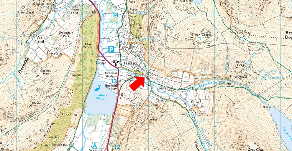
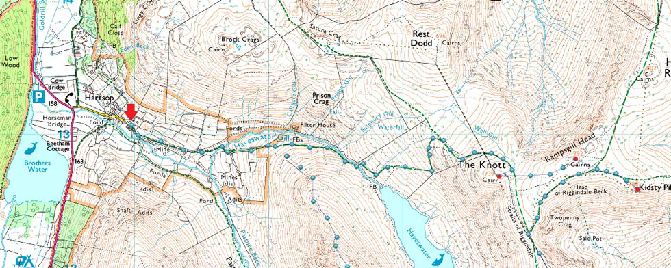
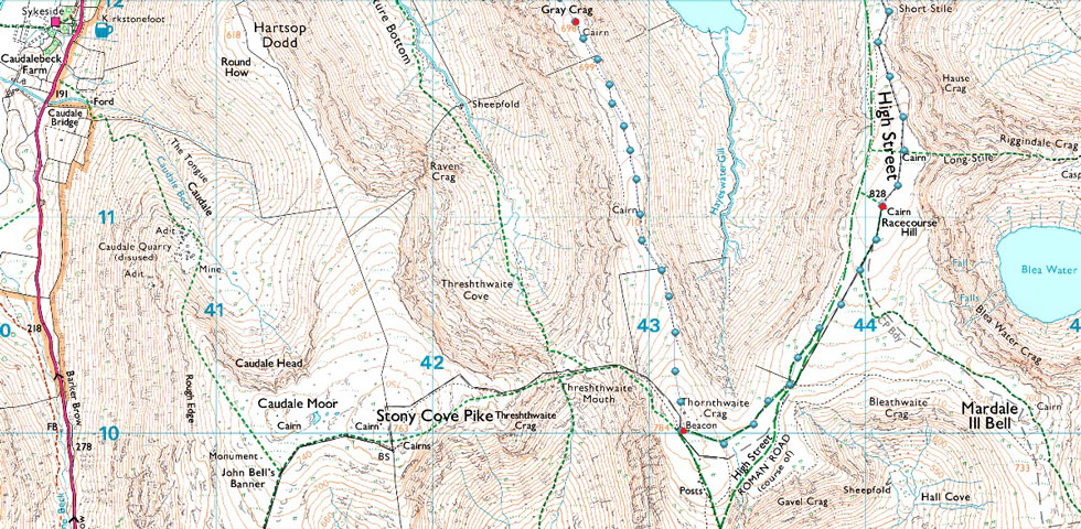
Hartsop - Hayeswater Gill - Hayeswater - The Knott - The Knott - Rampsgill Head - Kidsty Pike - Straights of Riggindale - High Street - Thornthwaite Crag - Gray Crag - Hayeswater Gill - Hartsop |
|
| |
|
Parking Details and Map |
|
|
| Nearest Post Code: |
CA11 0NZ |
| Grid Reference: |
NY 410 213 |
| Notes: |
A very popular car park in the hamlet of Hartsop giving access within the heart of the east and far eastern fells just a few minutes stroll away from Brothers Water. The car park is situated at the end of a narrow lane which provides the backbone to the village. An honesty box can be found next to the gate at the far end of the car park. |
|
| |
|
Map and Photo Gallery |
|
|
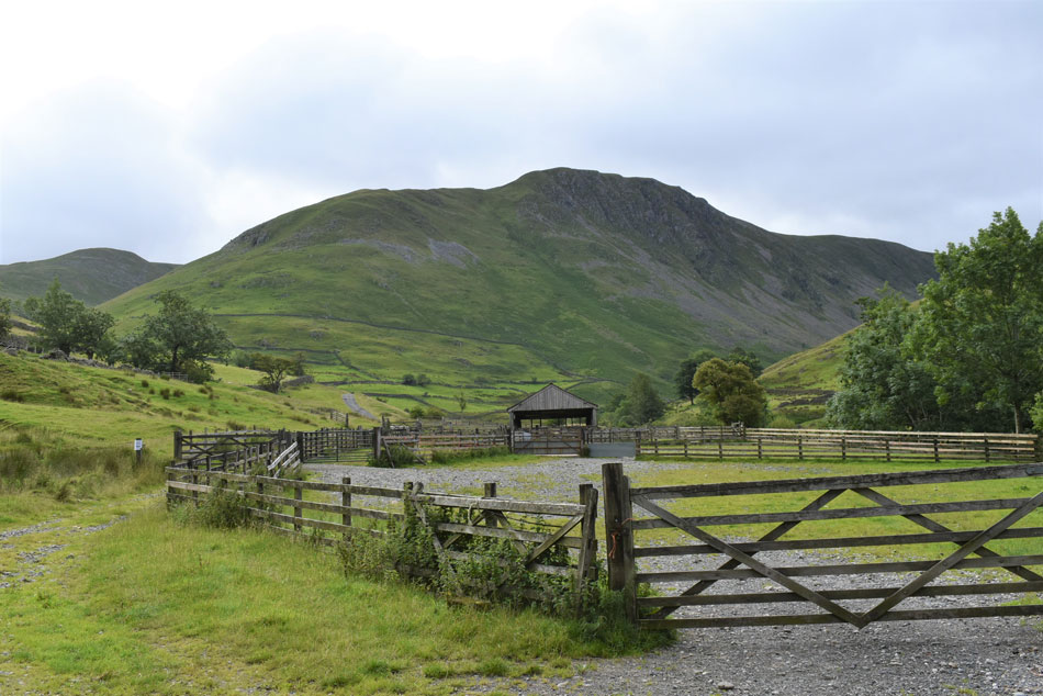 |
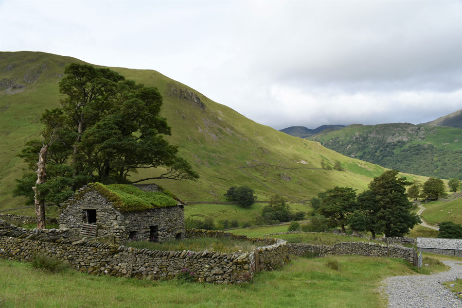
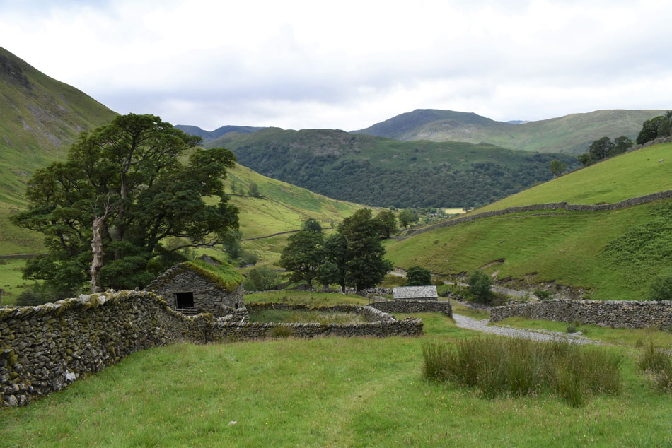
| Gray Crag from Hartsop sheep pens 08:40am 13°C |
i had planned to arrive by 9am but after waking before my alarm clock I set of early arriving at a rather crowded Hartsop car park around 8:30am. I'd already passed through a few light rain showers whilst driving over the Kirkstone Pass, I wasn't expecting much in the way of views so you can imagine my surprise when I found Gray Crag and its surrounding summits cloud free which left me feeling like I'd just found a twenty pound note in an old jacket.
As with all of my walks this month I'm wearing a light pair of walking trousers instead of shorts which I'm not happy about but as David said the other day as we spoke about this week's forecast "it is Summer" therefore don't expect too much. Aside my long trousers it is mild and I set off with my Montane soft shell stuffed in my pack which I will call upon later into the walk. |
 |
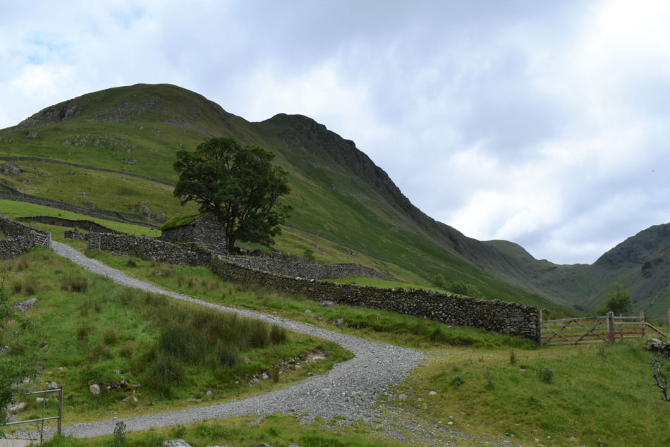
| Hartsop Dodd steep north west ridge from the old building just outside Hartsop. |
| I left the sheep pens behind and began the steady climb alongside Hayeswater Gill from where I observed three walkers ascending Hartsop Dodd, trouble was they weren't using the path instead just blazing their way up the steep slope which looked like hard work. I'm soon passed by a solo walker on his way down and judging by the size of his back pack it looks like he'd spent a night on the fells and a friendly 'morning' was shared as we pass one another. |
 |
| Views over Hartsop towards Brothers Water, Hartsop above How, Hart Crag, Fairfield, Cova Pike, St Sunday Crag, Gavel Pike and Birks. |
| For now it looks like the cloud is behaving as it remains high above the summits, there's even a little sunshine trying to break through. |
 |
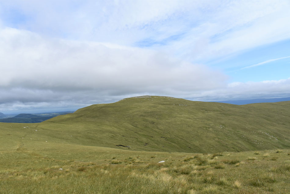
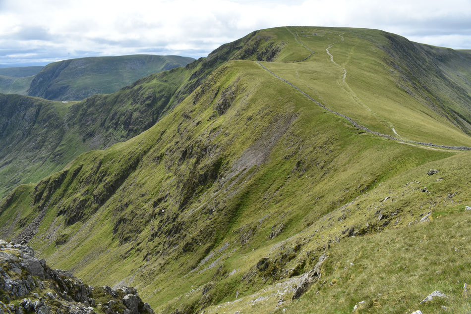
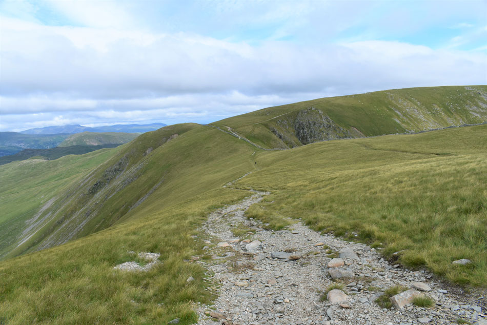
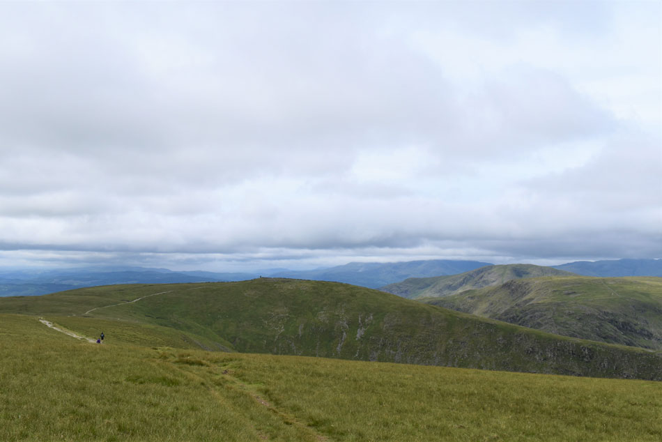
| Looking down on Hayeswater and the drumlins as I ascend towards The Knott. |
| With High Street seen left and Gray Crag seen right. |
 |
| Rest Dodd and The Nab come into view. |
| After a steady ascent I joined the footpath linking Brock Crags with The Knott and in the distance I can make out a solo walker also heading towards The Knott and another walker who was descending Rest Dodd. It had been hard work reaching the footpath from Hayeswater and I was starting to work up a sweat which was taken care of by a cool breeze. |
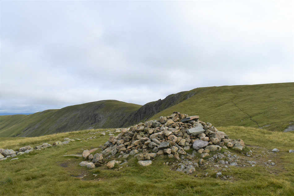 |
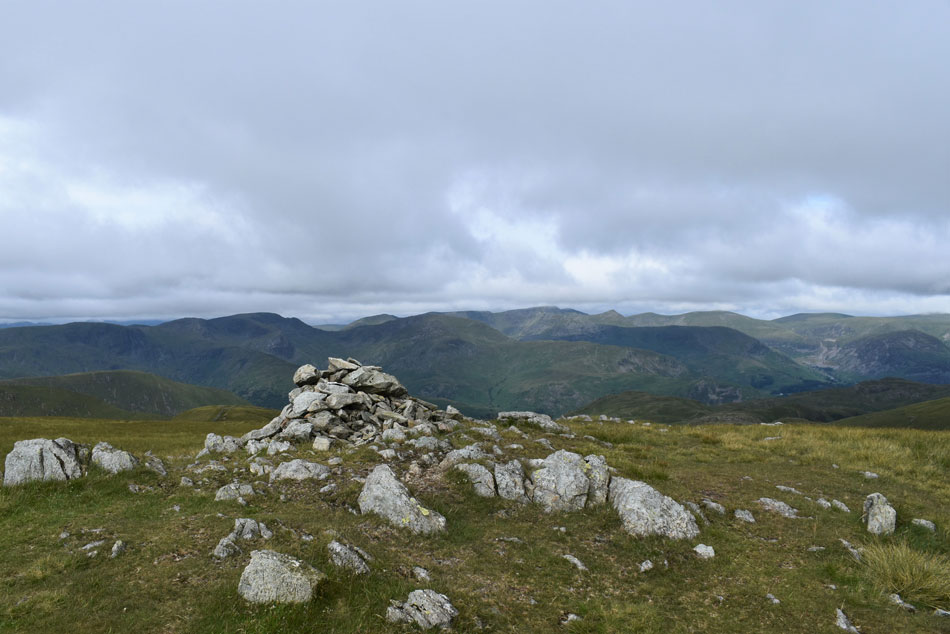
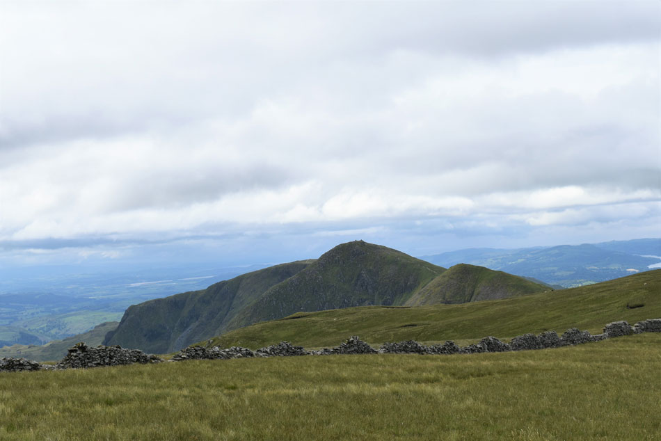
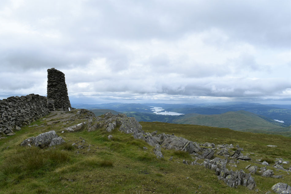
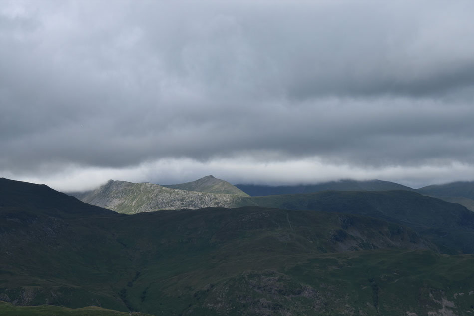
| Rampsgill Head and High Raise (Martindale) from The Knott summit. |
| That cool breeze soon turned into much colder air and by the time I'd reached The Knott summit my thumbs were feeling the bite so I de-shouldered my pack and put my soft shell on and felt the benefit instantly, it wasn't so much windy across the tops but what wind there was had a definite nip to it. |
 |
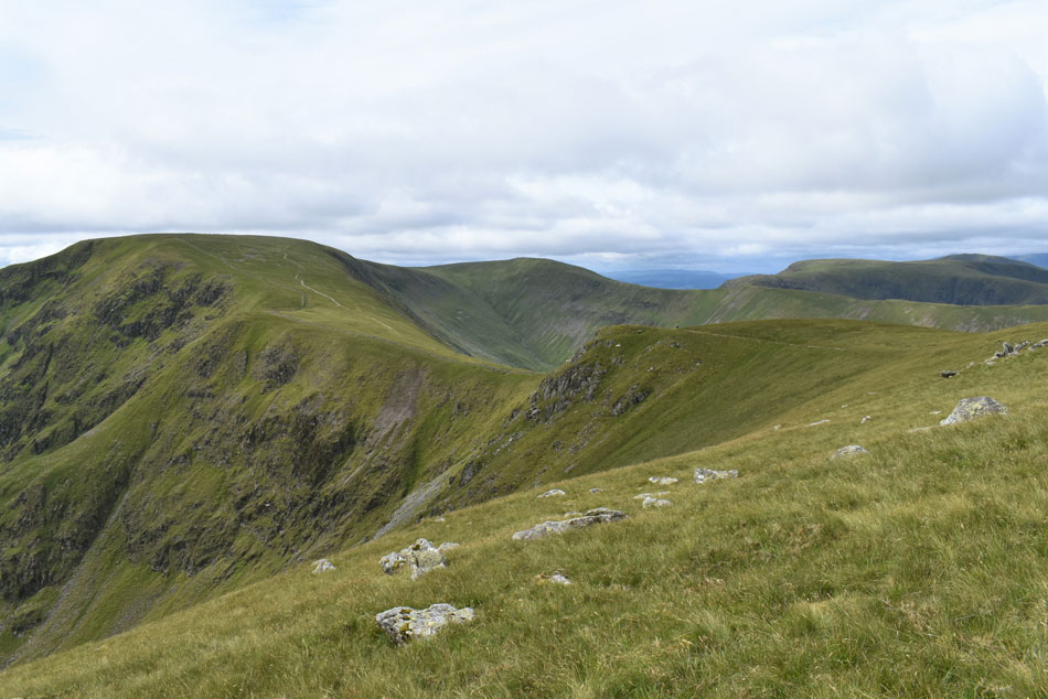
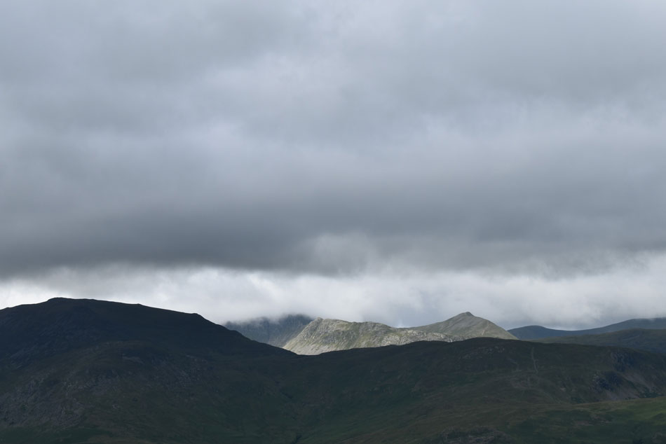
| Looking back on The Knott from the ascent of Rampsgill Head. |
| It looks like Helvellyn summit is about to succumb to cloud. |
 |
| Rest Dodd, The Nab and Ramps Gill. |
| I've dropped lucky with more sunny spells breaking through while the north and east of the district is looking overcast and cloudy. |
 |
| Views into Rampsgill with The Nabb seen left, Gawk Hill, Steel Knotts and Hallin Fell right and Bonscale Pike and Loadpot Hill far right. |
| Not forgetting the Mell Fells seen in the distance. |
 |
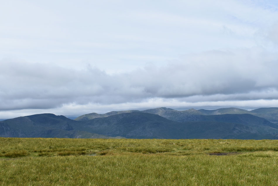
| The Eastern fells from Rampsgill Head summit. |
| That cool summit breeze continued to nip so I went to record its strength and air temp using my anemometer but couldn't because it appears the battery had died on me, oh well it's about 20 mph and feeling pretty nippy. |
 |
| Views over High Raise, Red Crag, Gawk Hill, Steel Knotts, Hallin Fell, Loadpot Hill and Bonscale Pike from Rampsgill Head. |
| Admittedly Rampsgill Head and Kidsty Pike aren't actually part of the Hayeswater Fells but because they were there I had to include them. |
 |
| En-route to Kidsty Pike now. |
| Which was when I just spotted this chap approaching from the direction of High Raise. |
 |
| Branstree, the top of Gatescarth Pass, Tarn Crag (Longsleddale) Harter Fell (Mardale) and Rough Crag from Kidsty Pike summit. |
| I shared a brief 'morning' as I passed the chap who was just leaving as I approached Kidsty Pike summit where my own time there was limited due to the cold wind all the while it's actually starting to brighten up over head. |
 |
| High Raise (Martindale) seen beyond the head of Randale Beck. |
| |
 |
| Two Penny Crag, High Street, Thornthwaite Crag, Stony Cove Pike and Caudale Moor from Kidsty Pike. |
| It was a great surprise to see the sun had come out which not only took the nip away but cast a beautiful brightness across my favourite fells. |
 |
| Looking back on Kidsty Pike. |
| With The Rigg, Branstree, Selside Pike and Tarn Crag in the distance. |
 |
| Splendid. |
| What a view! |
 |
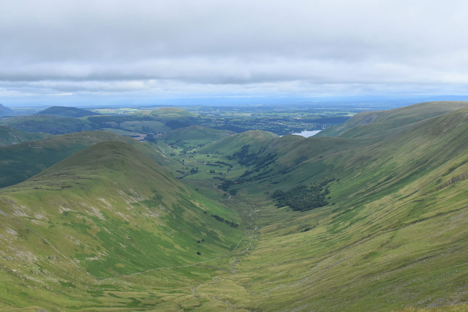
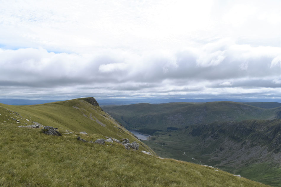
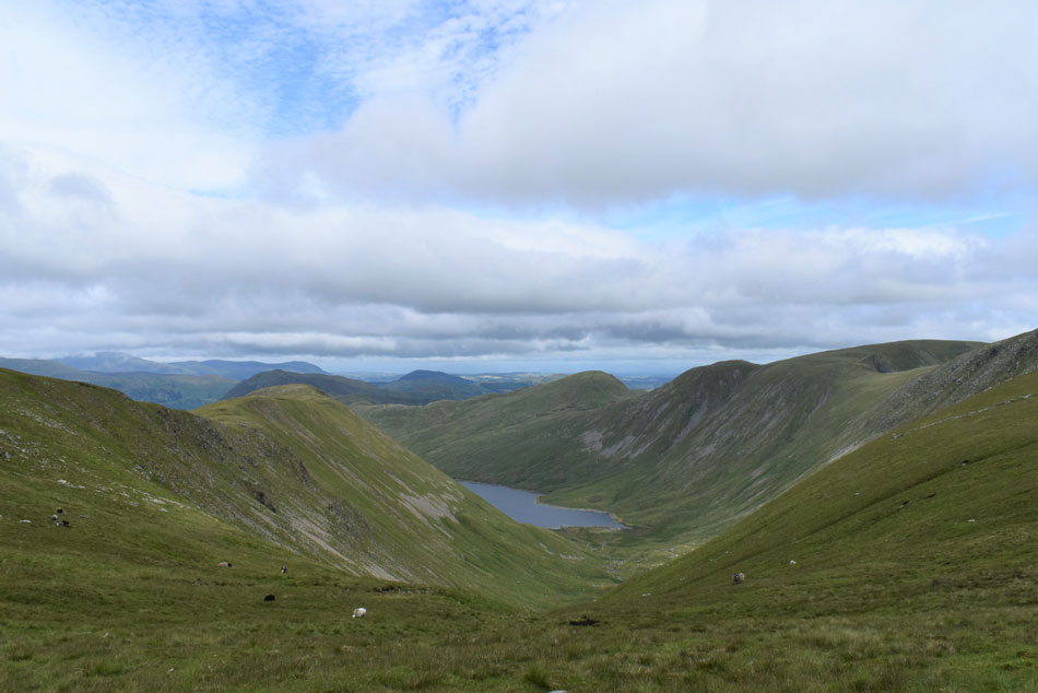
| Peering down over the head of Riggindale. |
| With Short Stile in the foreground and Long Stile and Harter Fell beyond. |
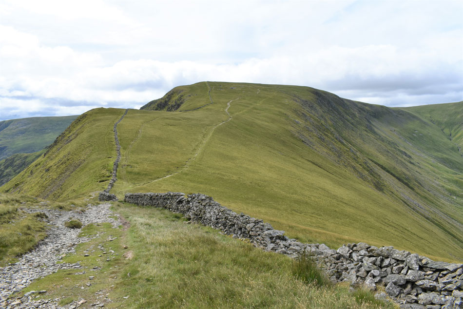 |
| Short Stile and High Street from the Straights of Riggindale. |
| My plan is to ascend to the right as far as Short Stile before ascending the rest alongside the stone wall. |
 |
| Thornthwaite Crag, Stony Cove Pike, Caudale Moor seen beyond Hayeswater Gill. |
| The reason why I wanted to ascend to the right first was... |
 |
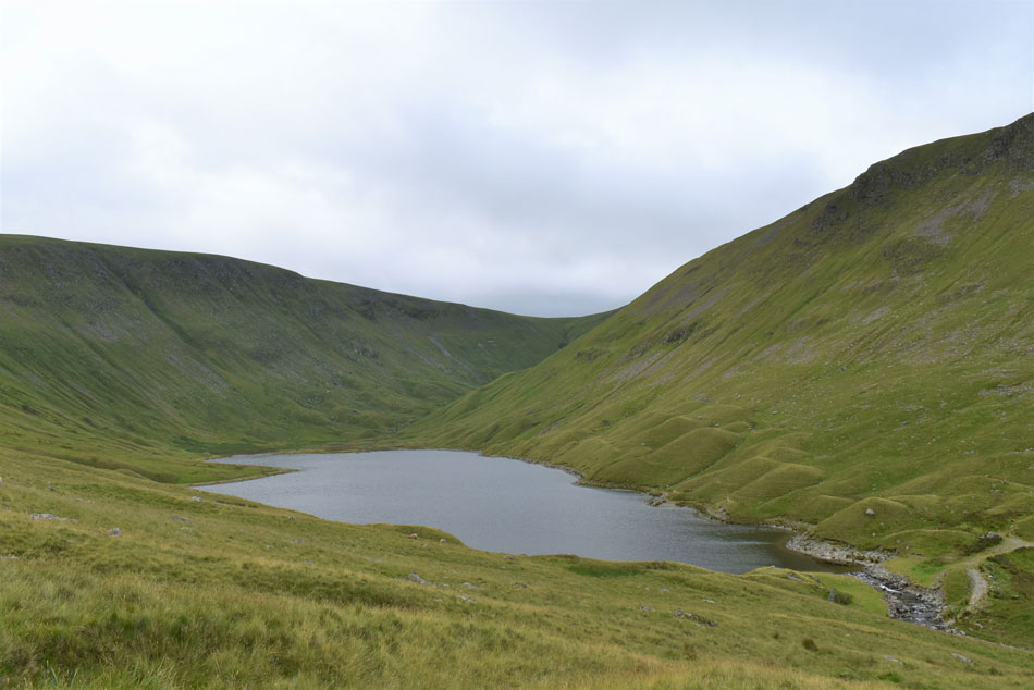
| Hayeswater and Gray Crag. |
| ...to get this view of Hayeswater. |
 |
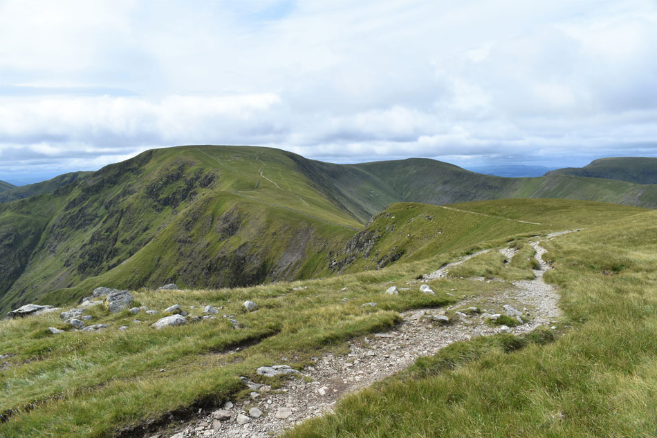
| The Straights of Riggindale, The Knott, Two Penny Crag. |
| From the ascent of High Street. |
 |
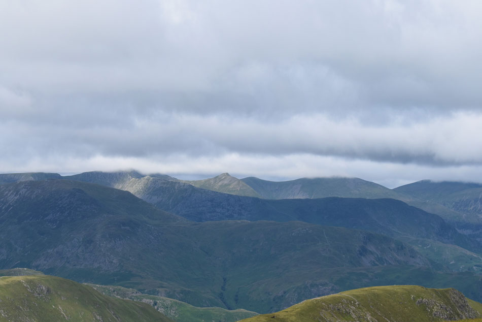
| The Eastern fells from High Street. |
| Sadly it seems the far eastern fells are enjoying all the sunshine while the eastern fells are left in the shade. |
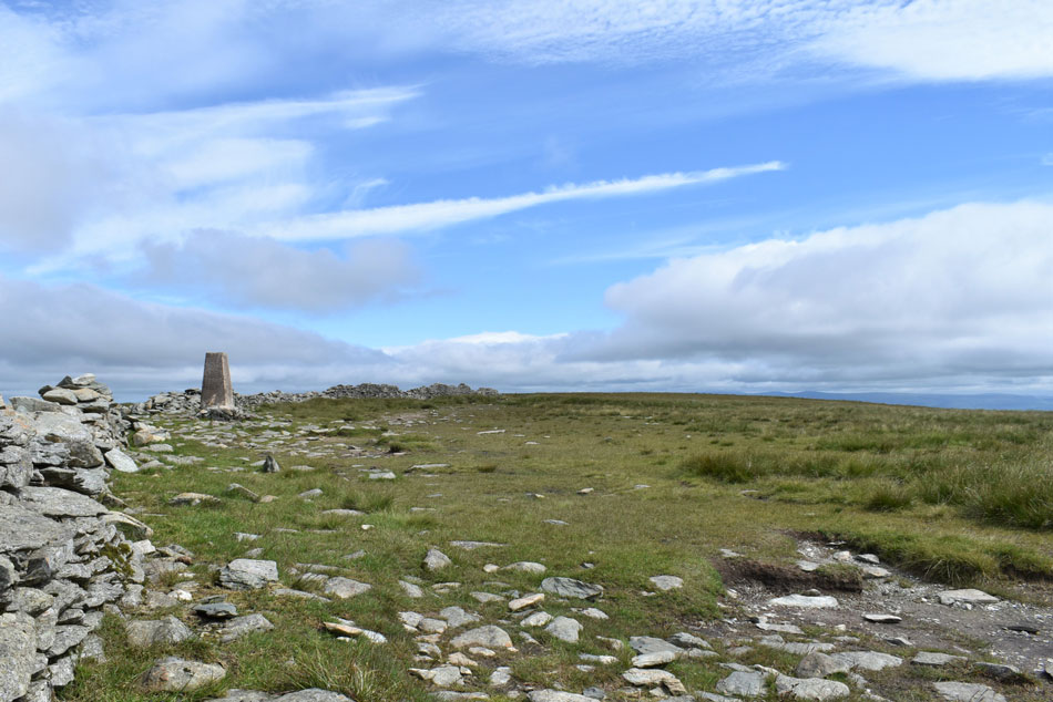 |
| High Street summit. |
| Large gaps of blue sky had began to open up overhead yet despite this I couldn't escape the biting wind, that was until I decided to have a very early lunch seeing as I've had nothing to eat all morning, so I crouched behind the summit wall and tucked into a ham salad sandwich washed down with long gulps of Summer fruit juice from my bite valve, it was just me, the Lap wings and a slight breeze blowing through the wild grasses. |
 |
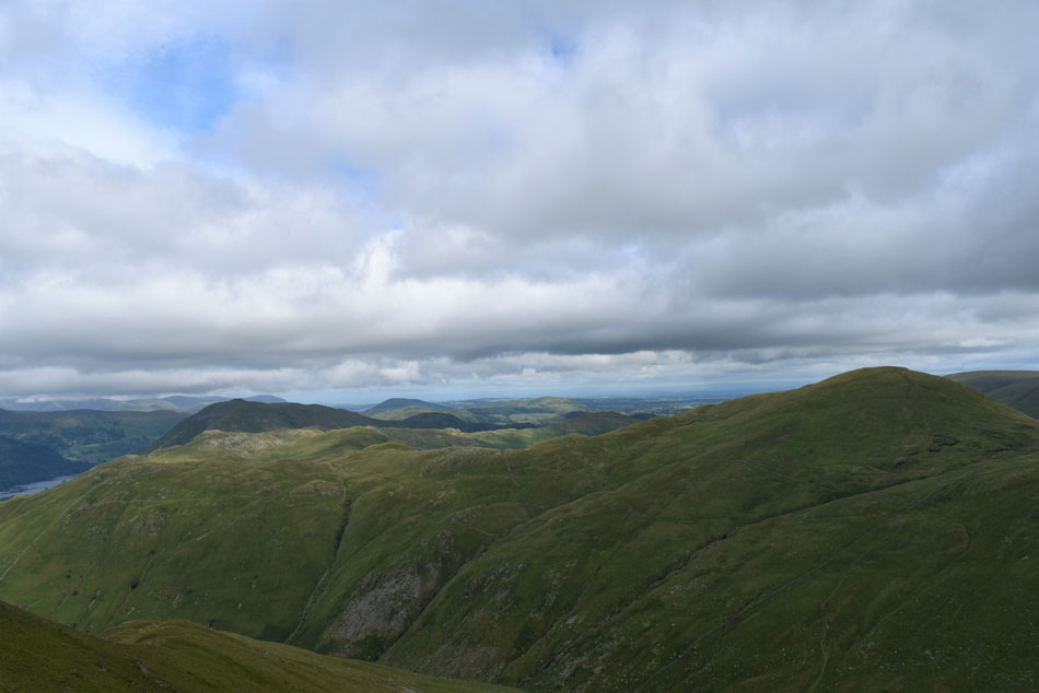
| Cloud over Nethermost Pike, Helvellyn, Raise and Stybarrow Dodd. |
| With St Sunday Crag, Birks, Hartsop above How, Hartsop Dodd and Gray Crag seen in the foreground. |
 |
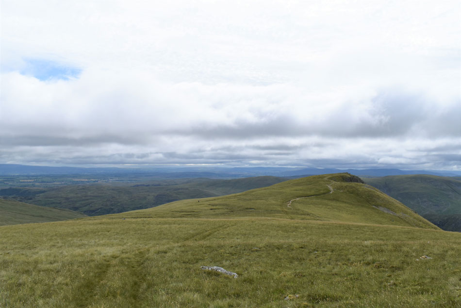
| Heading towards Thornthwaite Crag. |
| As I was preparing myself to leave I was joined by a gent and from a distance 'mornings' are shared. The couple ahead were a distance behind me while I was ascending High Street but for whatever reason continued over the summit on the right without visiting the Trig Point. It was while I was now behind them I noticed they had a little black dog which was having the time of its life sometimes descending out of sight before reappearing minutes later. The couple stopped and I joked that whatever their dog had eaten for breakfast could I have some too, I had never seen such an energized dog in all my life which of course had to be a Cocker Spaniel! |
 |
| The III Bell Ridge from High Street. |
| Incorporating Yoke, III Bell and Froswick. |
 |
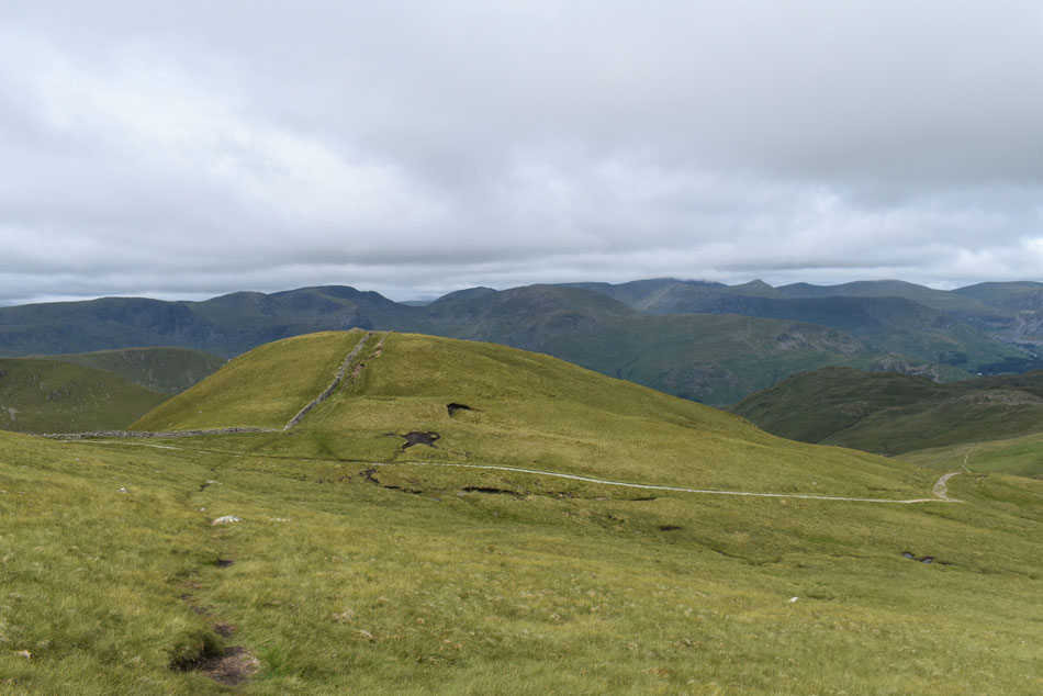
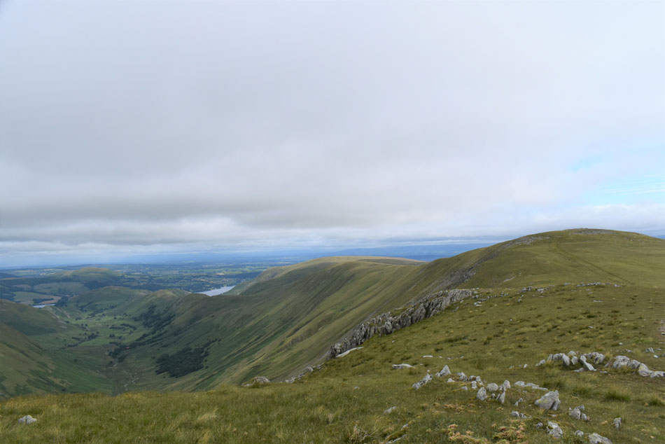
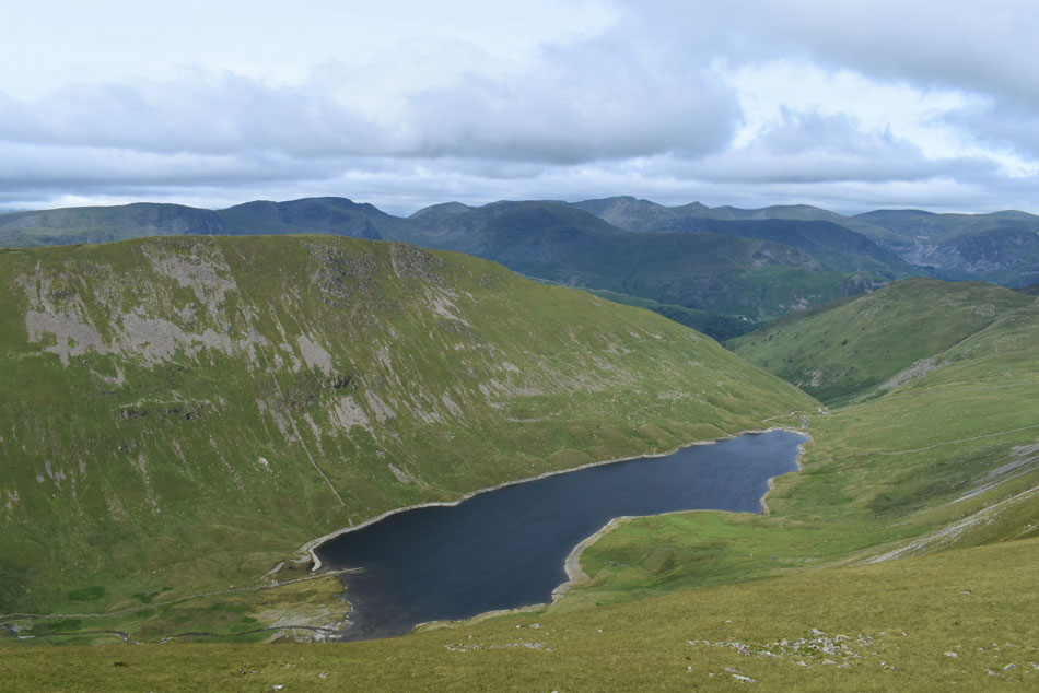
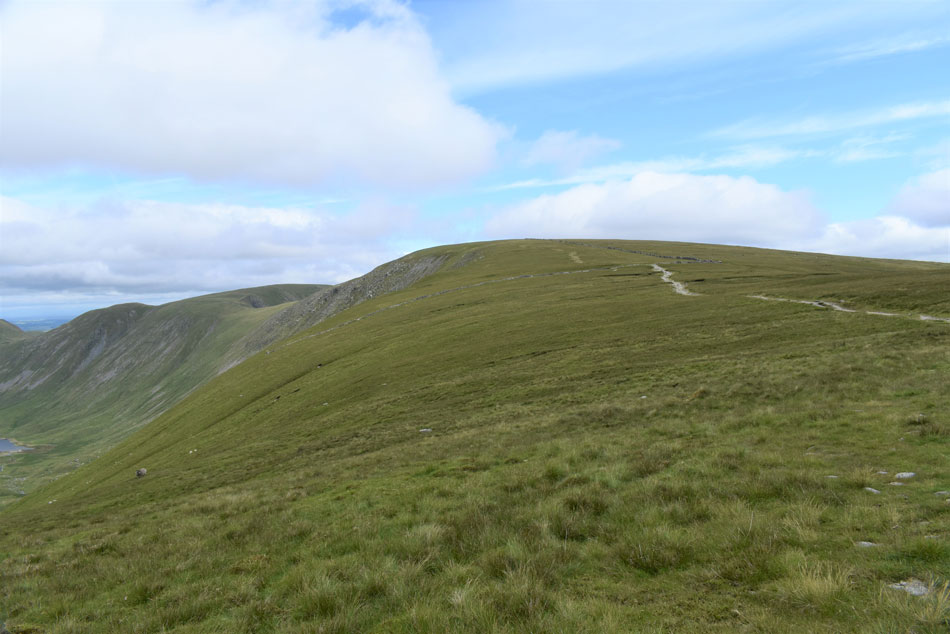
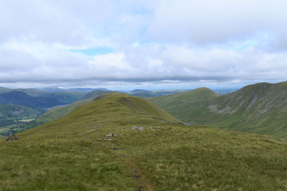
| Looking down on Hayeswater from the top of Hayeswater Gill. |
| From which you get a great view of ground covered with The Knott seen centre, Rampsgill Head, Kidsty Pike and the Straights of Riggindale while over on the left todays final summit of Gray Crag. |
 |
| Not forgetting High Street. |
| |
 |
| Windermere from Thornthwaite Crag summit. |
| I soon reached Thornthwaite Crag summit by which time a solo walker and his dog had just left in the direction of Gray Crag, seeing as I didn't want to be on his heels I hung around for a few minutes while taking in the views over Troutbeck and Stony Cove Pike. |
 |
| Gray Crag ahead. |
| |
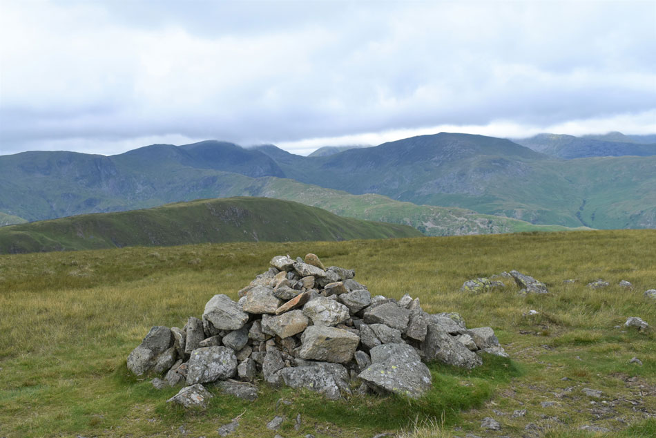 |
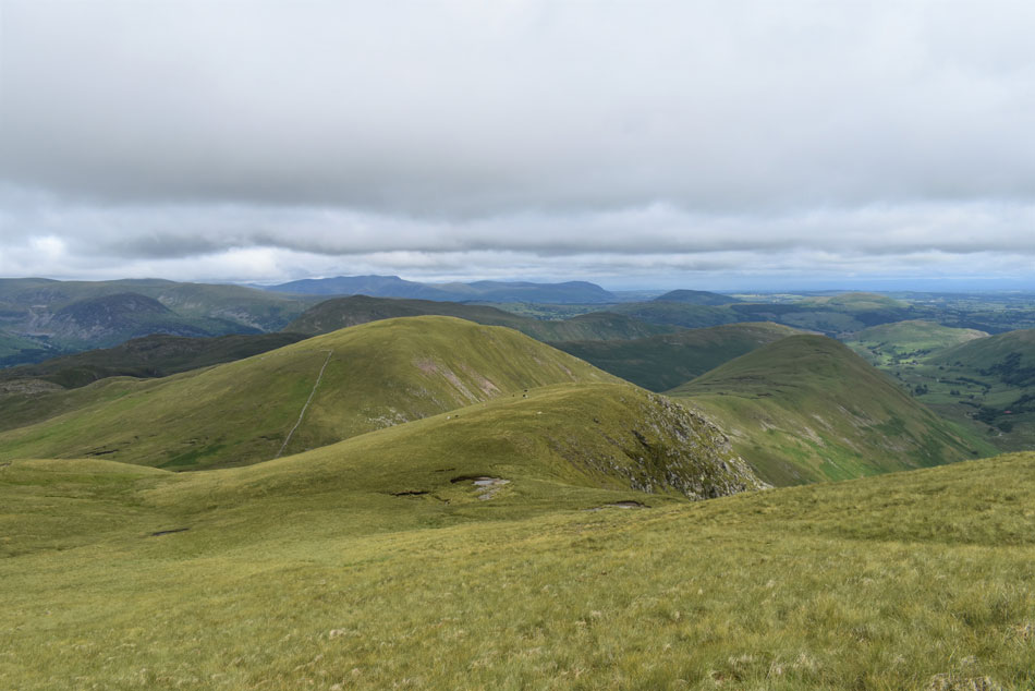
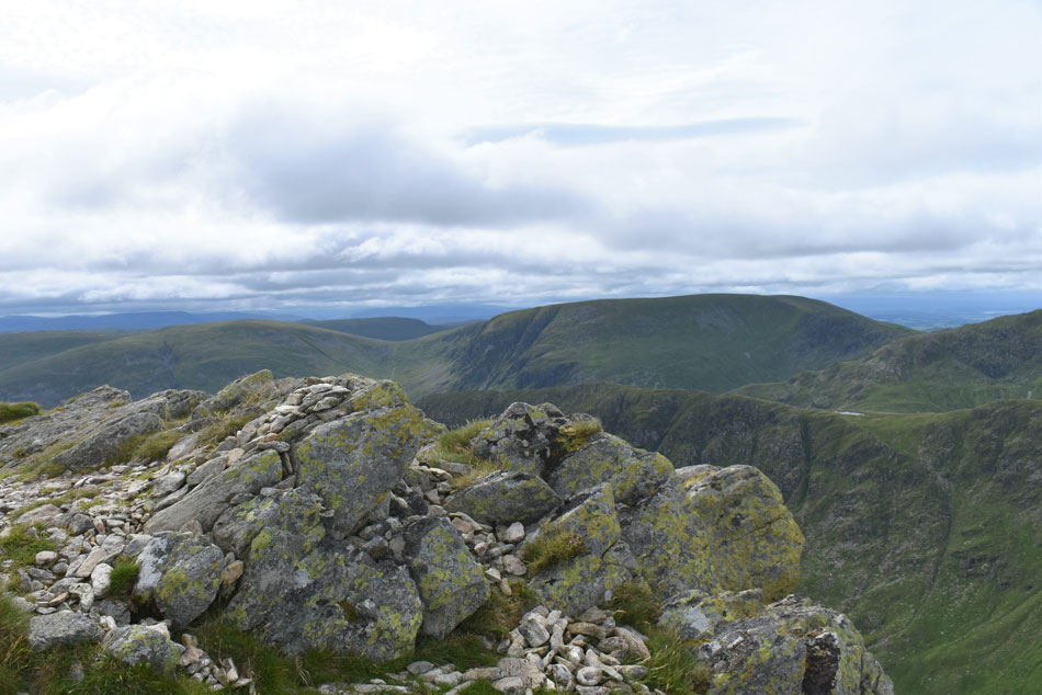
| Hartsop Dodd, Dove Crag, Hart Crag, Fairfield (below cloud) Hartsop above How and St Sunday Crag from Gray Crag summit. |
| It remained cloudy during the time it took me to reach Gray Crag summit but I enjoyed it all the same Gray Crag being another of my favourite far eastern summits. My pace had slowed down not because I was feeling tired I just wanted to absorb as much as I could before dropping back down into Hartsop. It was here I perched myself down on one of the summit rocks and started to take in the view while having a quite word with the late Ron Black who's ashes are scattered on Little Hartsop Dodd a short distance away. Out of all the summits that I'd visited today it wasn't High Street that reminded me why I love the Lakeland fells so much, oddly, it was here on Gray Crag. |
 |
| The view from Gray Crag towards The Knott, Brock Crags, Angletarn Pikes, Beda Fell, Place Fell and the Mell Fells. |
| |
 |
| Dramatic cloud topped views over Striding Edge. |
| For now Catstye Cam escapes the cloud. |
 |
| Less the zoom the profiles of St Sunday Crag and Birks come into view. |
| |
 |
| Almost back at Hartsop. |
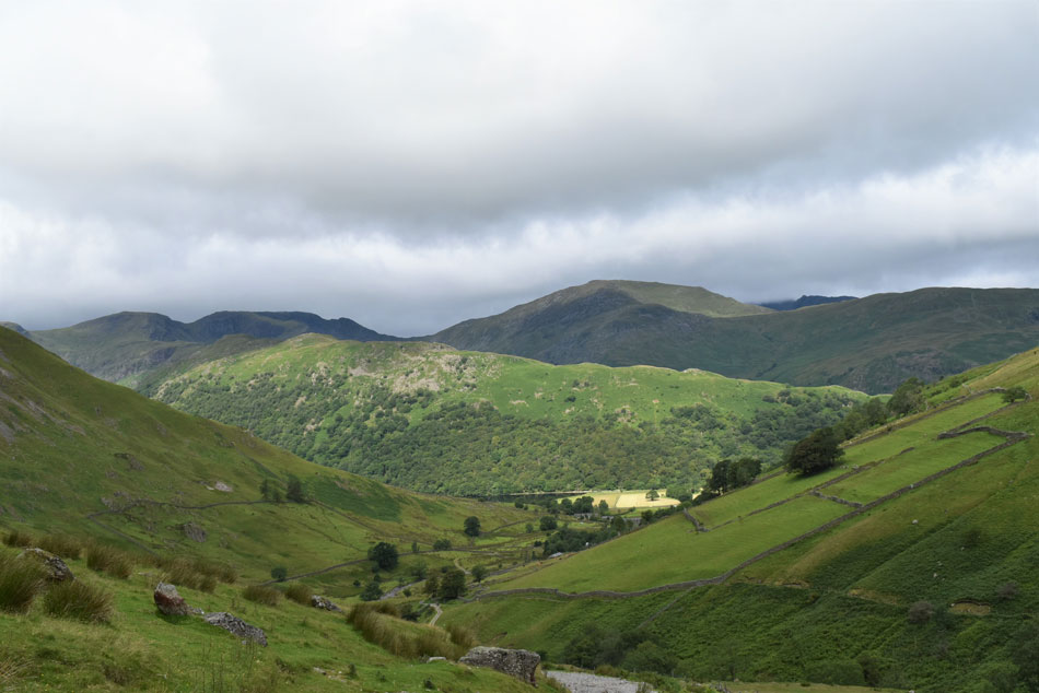
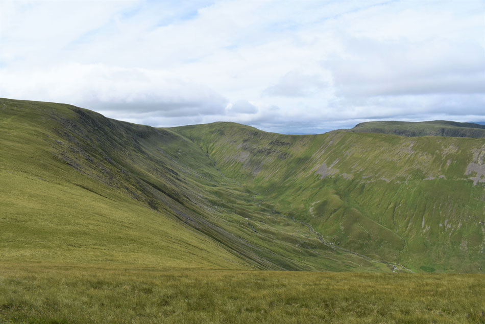
There are two main descent routes from Gray Crag, both are rather steep descending easterly (right) from the summit and takes in a pathless descent back to Hayeswater, the second path being a narrow path first down the spine of the summit which then descends down the nose of the fell towards the right, this was my choice of descent today and had I not have chosen it I wouldn't have witnessed three farmers coraling around a hundred sheep on the south flank of Brock Crags, each farmer had a sheep dog who shouted orders at their dogs which in turn lead the sheep down onto the footpath besides Hayeswater Gill before continuing to direct the sheep towards the sheep pens on the outskirts of the hartsop.
My descent of Gray Crag would have only taken me the best part of twenty minutes which was made longer by watching the sheep dogs and farmers in action, it was a splendid end to what had turned out to be another great day on the fells. |
 |
| Gray Crag, Thornthwaite Crag, Pasture Bottom and Stony Cove Pike from the footbridge over Hayeswater Gill. |
| |
|
| |
| Back to top |
 |
|