|
Branstree, Selside Pike and the Old Corpse Road |
 |
 |
24th June 2020 |
 |
|
I took advantage of a great forecast, took the day off work and headed north to Mardale Head but for a change I wasn't climbing my beloved High Street but Branstree, yet another summit plucked from my lock down 'to do list'
Todays walk is almost identical to Birketts 'Branstree' route with the exception that I won't be visiting Brown Howe whose summit looks down on the ruined Peat Huts over Mardale Head. There's many reasons why I fell for this route from the ascent of Branstree north ridge to seclusion of the far eastern fells but the main reason had to be the view of High Street and the Rough Crag ridge which, comes a close second to climbing High Street herself.
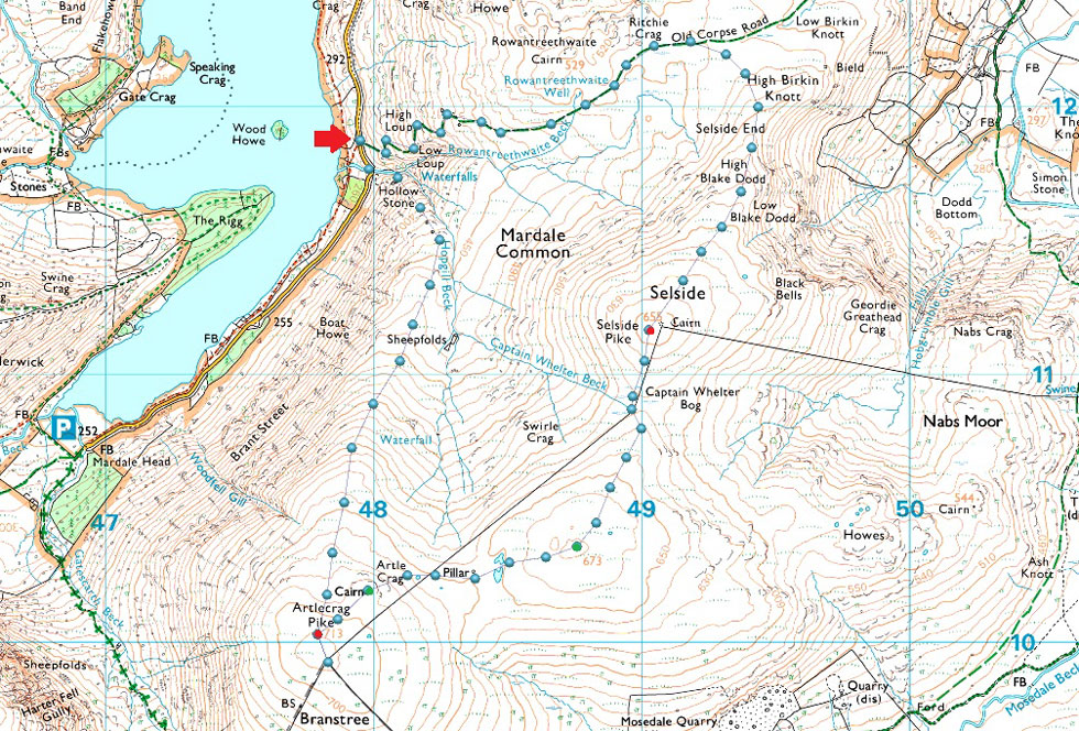
The walk starts from the parking spaces close to Rowantreethwaite Beck which is pretty steep straight from the off, the going eases once two more ruined Peat Huts are passed close to the top of Hopgill Beck but don't let the gentle gradient fool you, Branstree north ridge is mostly pathless and made up of three false summits before the actual summit is reached from where the hardest work is all behind you. From Branstree I head north easterly over High Howes soon followed by Selside Pike before descending back to Mardale via the Old Corpse Road. |
|
| Wainwright Guide Book Two |
 |
| The Far Eastern Fells |
-Selside Pike
One of the lesser-known fells is Selside Pike on the eastern fringe of the district, commanding the head of the shy and beautiful little valley of Swindale. |
 |
|
|
|
| |
|
Overview |
|
|
| Ascent: |
1,725 Feet - 526 Metres |
| Wainwrights: |
2, Branstree - Selside Pike |
| Visiting: |
2, Artle Crag - High Howes |
| Weather: |
A Sweltering Day With a Slight Breeze Over The Summits. Highs of 27°C Lows of 19°C Max Wind Speed 18.6mph |
| Parking: |
Roadside Parking Close to Rowantreethwaite Beck |
| Area: |
Far Eastern |
| Miles: |
6.3 |
| Walking With: |
On My Own |
| Ordnance Survey: |
OL5 |
| Time Taken: |
3 Hours 20 Minutes |
| Route: |
Mardale - Rowantreethwaite Beck - Branstree North Ridge - Branstree - Artle Crag - Survey Pillar - High Howes - Captain Whelter Bog - Selside Pike - Selside End - Old Corpse Road - Rowantreethwaite Beck - Mardale |
|
| |
|
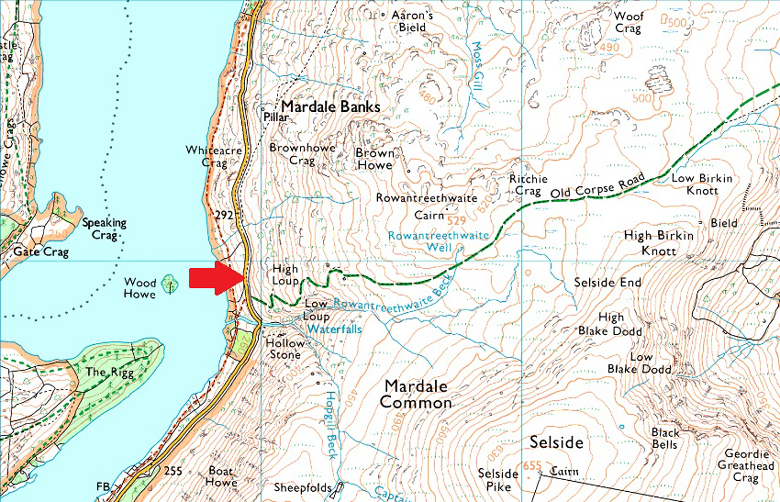
Parking Details and Map |
|
|
| Nearest Post Code: |
CA12 2RP |
| Grid Reference: |
NY 479 119 |
| Notes: |
There is roadside parking with room to park around five cars close to the bridge over Rowantreethwaite Beck, if you have driven over the bridge you've gone too far, look out for Wood Howe Island where the parking is almost adjacent too, parking is free. |
|
| |
|
Map and Photo Gallery |
|
|
 |
| |
| |
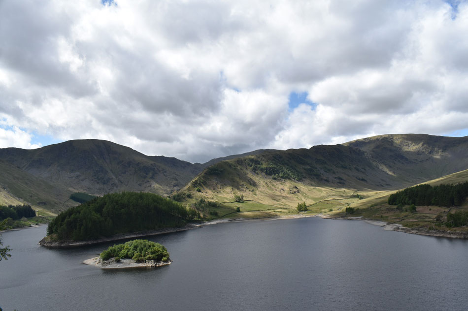 |
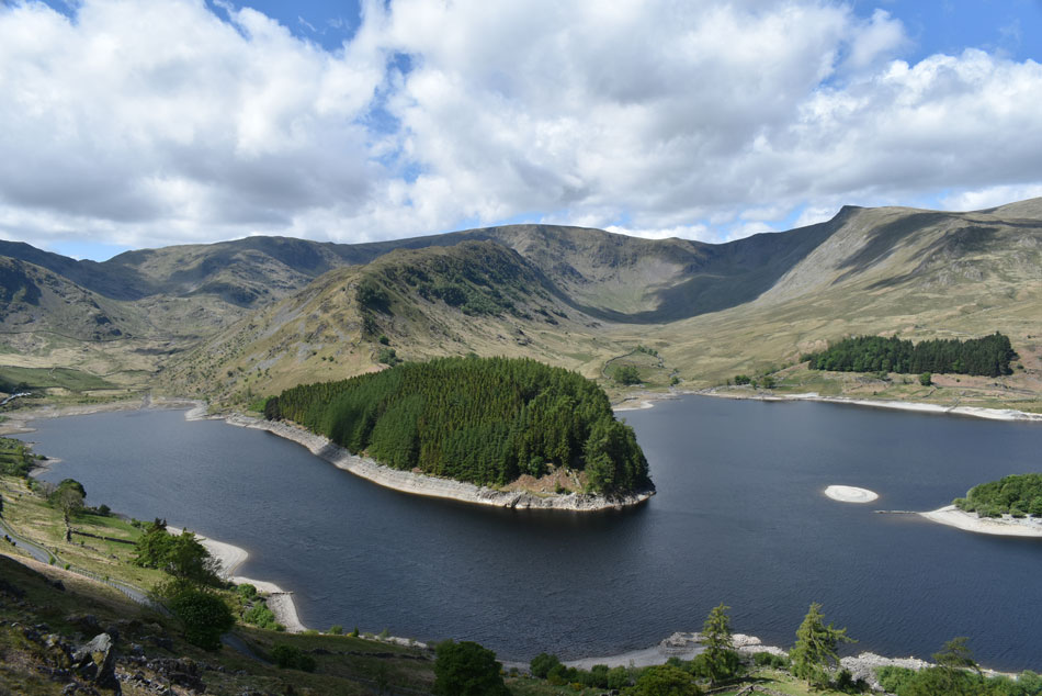
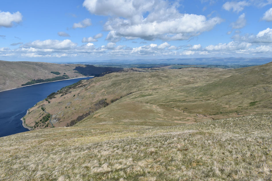
| High Street, Riggindale and the Rough Crag Ridge seen over Haweswater with Harter Fell (Mardale) in the distance 19°C 8:00am |
Despite the warming temperatures the far eastern fells had a covering of high cloud which traced across the skies helped along by generous winds. For the first time in memory I drove to Lakeland with the air conditioning on and once I arrived at the parking spaces not far from Rowantreethwaite Beck opening the door felt like I'd just stepped of the plane in some exotic country, the heat along with the humidity was climbing and kitting up behind my car was enough to start beads of sweat running down the side of my face.
It's a quiet morning with the exception of the squawking gulls on who circle Wood Howe island and from what I can see a mile or so up from Mardale Head the car park isn't yet half full but given todays sweltering conditions I'm expecting that to change over the next few hours. With my hands sanitised for the first of many times today I left the car and started walking towards the wooden gate from where the steep climb alongside Rowantreethwaite Beck begins. |
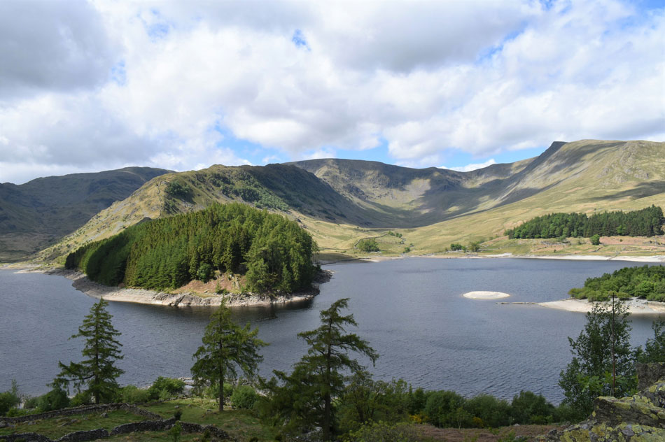 |
| Views into Riggindale beyond The Rigg with Kidsty Pike seen right. |
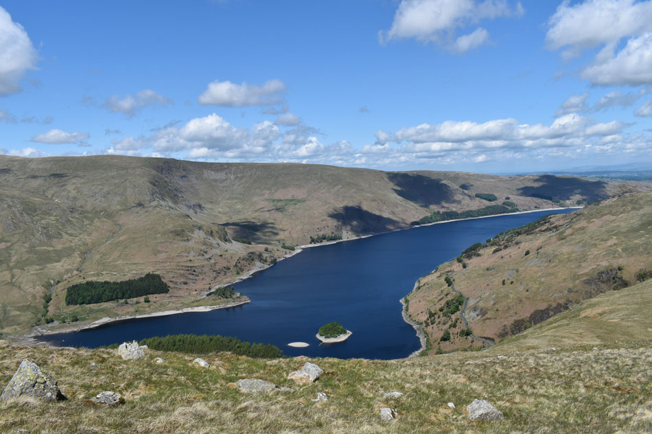
| Note how low the water level is looking after the prolonged dry spell although looking ahead towards the end of the week levels could soon start rising given the amount of rainfall that's predicted to fall, in fact a light rain shower would be perfect right about now. |
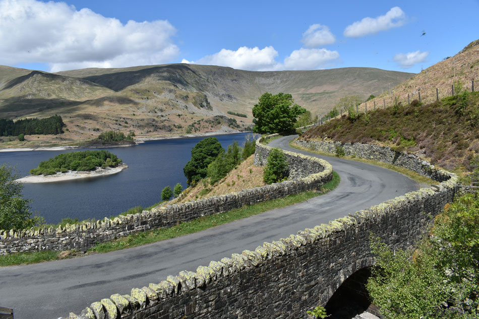 |
| The Bridge over Rowantreethwaite Beck with Kidsty Howes, High Raise, Low Raise and Castle Crag in the distance. |
Rowantreethwaite Beck marks the start of the walk where I pass the formentioned gate, sanitise my hands again before starting the steep grassy ascent towards Hollow Stone. |
 |
| The Rigg dominates the start of the ascent. |
| Which always reminds me of a snakes head...anyone else?...ok just me...I'll get me coat... |
 |
| Hollow Stone with Mardale Head, Harter Fell and the top of Nan Bield Pass in the distance. |
| Named so because of the hollow created below the stone which Wainwright recommended could be used as a shelter during bad weather. |
 |
| Climbing higher reveals this incredible view of Mardale Head and Riggindale. |
| Phew wee it's hot, hot, hot. |
 |
| A distant Hare Shaw seen over the tops of Hopgill Beck (foreground) and Rowanthreethwaite Beck in the distance. |
| I climbed alongside the beck accompanied by the sound of cascading water which was most welcoming if not a tad teasing. |
 |
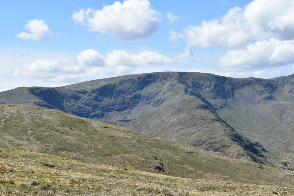
| Mardale III Bell, High Street and Kidsty Pike from the top of Rowantreethwaite Beck. |
| This route has it all especially if your favourite Lakeland fell is High Street. |
 |
| Riggindale, Kidsty Pike and High Raise (Martindale) from one of the ruined Peet Huts at the top of Rowantreethwaite Beck. |
| Now that I've got my breath back it's time to start my ascent on Branstree north ridge. |
 |
| Looking back on Haweswater with Castle Crag, Low Raise, Whelter Bottom and Measand End in the distance. |
| |
 |
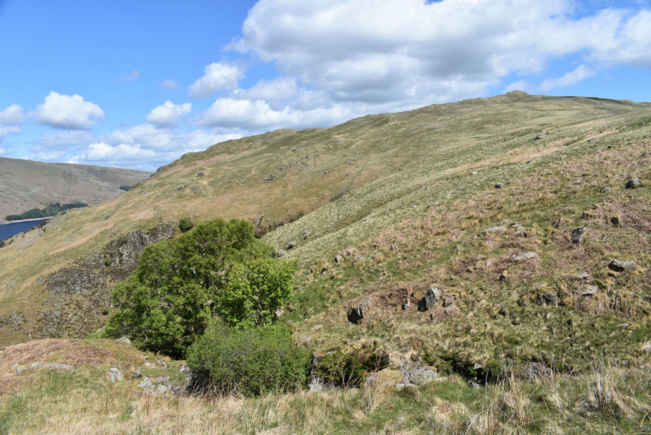
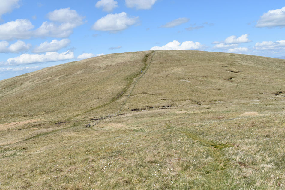
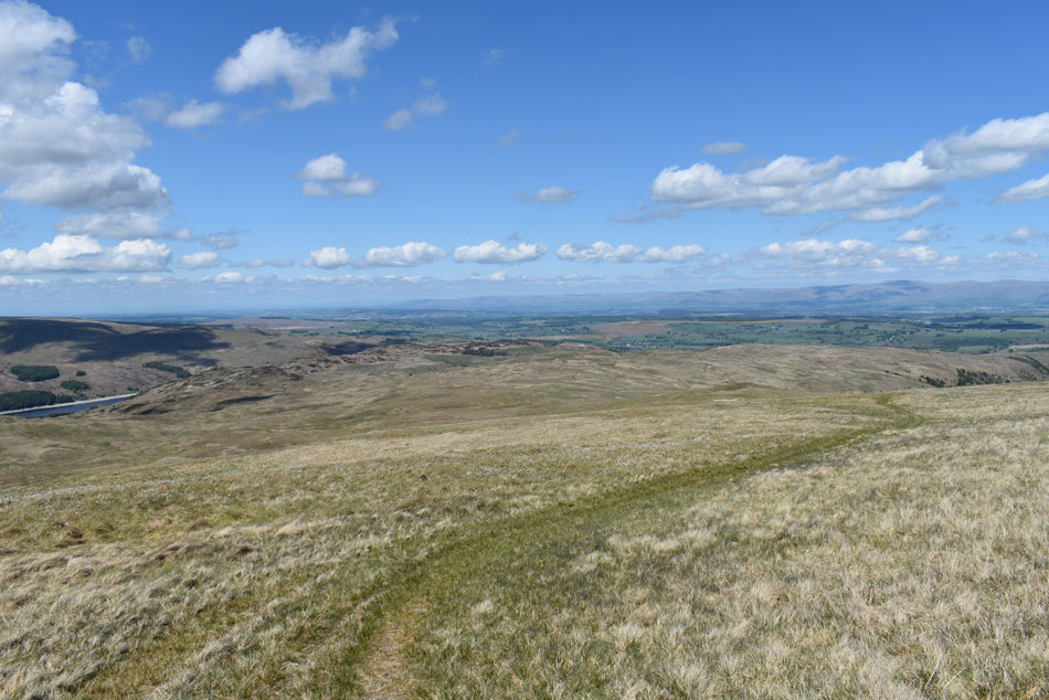
| Stopping to look back on Branstree north ridge. |
| This would be my third summit using the north ridge to gain Branstree, during previous summits I would used a narrow path on the Haweswater (west) side of the ridge from which a very steep ascent is required in order to gain the summit so today given how temperatures are set to reach towards the high twenties I thought I'd give the main ridge a go which as you can see is pathless and quite steep encountering three false summits along the way, I guess if you want the 'true' and direct route this is the one for you but prepare yourself for some hard going. |
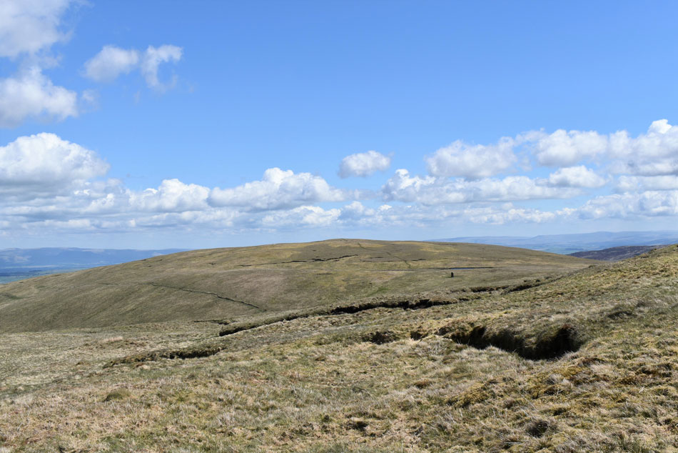 |
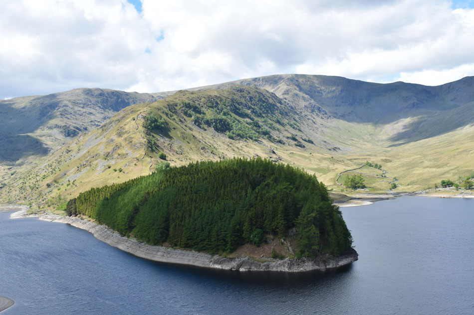
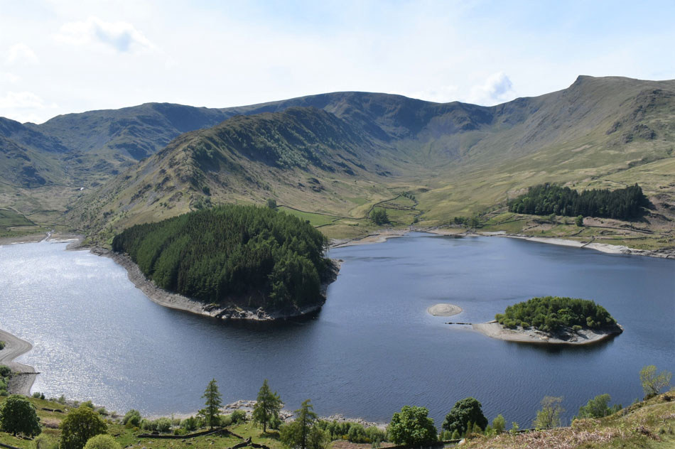
| Just below Artle Crag High Howes comes into view. |
| High Howes isn't a Wainwright but it is a Birkett fell and is highly recommended when combining Branstree with Selside Pike. |
 |
| Mardale III Bell, High Street, Kidsty Pike and High Raise from Branstree summit. |
It seems strange how I was overcome with butterflies flying around my stomach as I approached Branstree summit which I wouldn't have to myself as a woman who I'd observed from Selside Pike was also approaching about forty yards behind me, we shared a friendly hello over the summit breeze then went on to have a social distance chat which lasted close to half an hour mainly about walking the fells after lock down. |
 |
| Tarn Crag is seen in the distance. |
| As I head towards the summit wall which should provide a sun trap whilst I stop to eat lunch. |
 |
| Lunch with a view of the disant Howgills from Branstree summit. |
I don't normally stop to eat when walking alone usually I will wait until I've returned to my car but today I extend my stay whilst enjoying the tranquility of the far easten fells whilst watching a summit breeze ruffle the wild grass like waves over water. |
 |
| Selside Pike (left) and High Howes (behind the coloumn) from Artle Crag. |
| After lunch I sanitised my hands once more and started to make my way towards the stone columns on Artle Crag, despite the car park at Mardale Head looking quite busy(ish) I did have that longing feeling of Isolation for the remainder of the walk more so as I took in the view eastwards towards the Shap fells. |
 |
| Selside Pike and High Howes. |
The morning was hotting up quite nicely and the summit breeze helped to keep things cool as I made my way down towards High Howes first stepping over the wire fence which was low enough that I didn't have to use my hands and high enough not to threaten my undercarriage!!
Up next, the Haweswater Survey Pillar seen in the foreground. |
 |
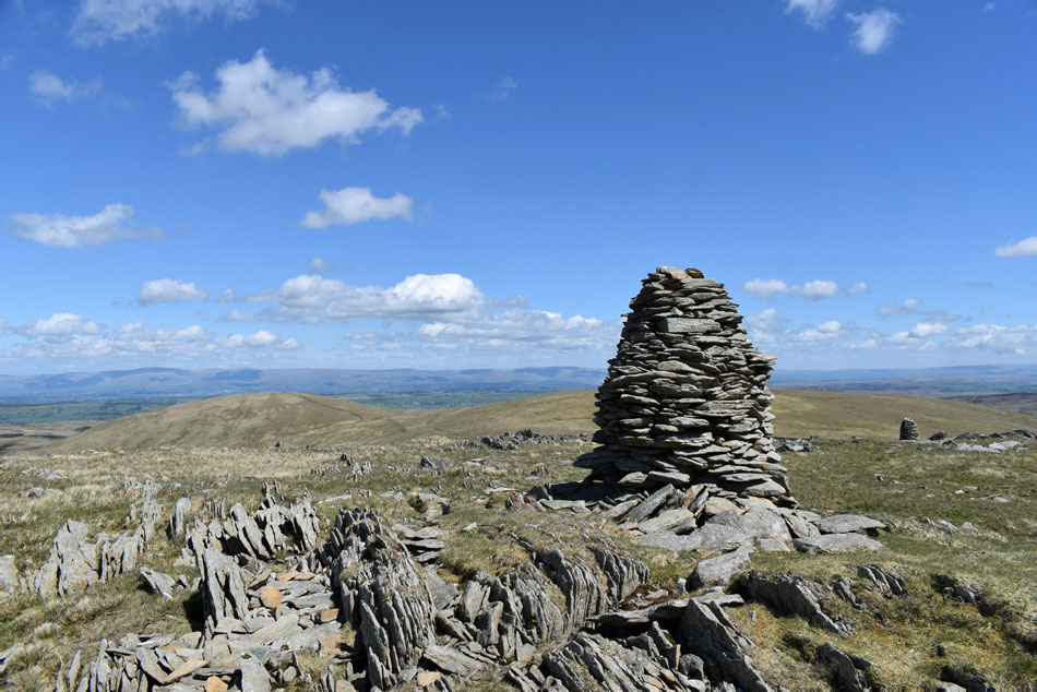
| Survey Pillar between Branstree and High Howes. |
| By using the lower path you'd miss out passing the Survey Pillar which I feel is a great addition to the walk. |
 |
| Looking back on Artle Crag as I start the easy ascent on High Howes. |
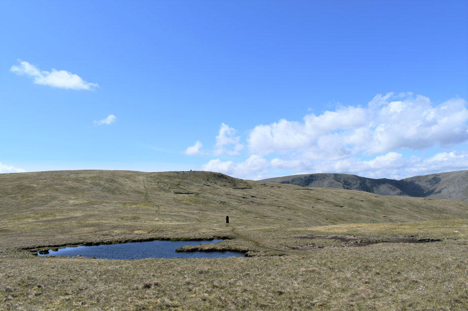
| Another great addition to the walk are the nameless Tarns found between the Survey Pillar and High Howes, note how the Tarn over on the right has completely dried up. |
 |
| Looking back beyond Selside Brow towards Kentmere Pike and Brown Howe. |
| |
 |
| While to the West. |
| Beyond Branstree north ridge are Mardale III Bell, High Street, Blea Water, the Rough Crag ridge, Riggindale and Short Stile. |
 |
| Selside Pike seen beyond Captain Whelter Bog. |
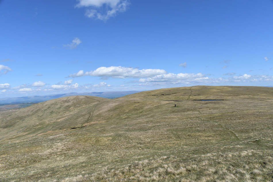
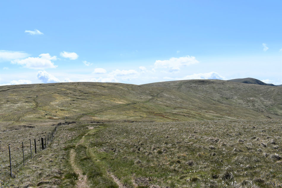
| As long I've known there has never been a summit cairn on High Howes just a high spot of ground which makes up the highest point, nevertheless a great alternative route to reach Selside Pike with only the slightest of gradients on both sides. I spot two walkers who had just left Selside Pike and by the looks of it our paths are about to cross. |
 |
| Looking back on High Howes, Artle Crag, Branstree and the top of Harter Fell (Mardale) from Captain Whelter Bog. |
| Our timings were spot on and we met just after I passed over the fence making sure afterwards I sanitise my hands while we chat. As it turned out the couple were from Preston and we stopped to chat exchanging our routes, commenting on recent events and of course the glorious weather. |
 |
| Harter Fell (Mardale) and High Street from Selside Pike summit. |
For some reason my legs burned during the short, yet rather steep ascent on Selside Pike and by the time I'd reached the summit I was just gaining my breath back. I had the summit to myself and scoured the skyline for movement spotting nothing except the couple who I had just been speaking who by now were passing over High Hows summit.
I down pack and check how much hydration I have by roughly running my hand up and down the bladder in my pack finding I had a good one and half litres left which mean't I was half way through my hydration which also meant I could guzzle at free will seeing as I was on the last leg of the walk. |
 |
| Seclusion. |
| As I descend Selside End. |
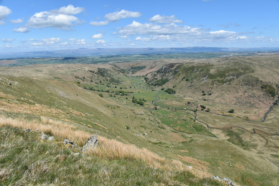 |
| The Swindale valley from Selside End. |
Great memories always come flooding back when a few years ago the late Ron Black had me searching the upper end of Swindale for a fox barran that he had asked me to photograph, did I ever find it? did I heckers like.
Good times! I always spare a thought for Ron and chuckle while stood here. |
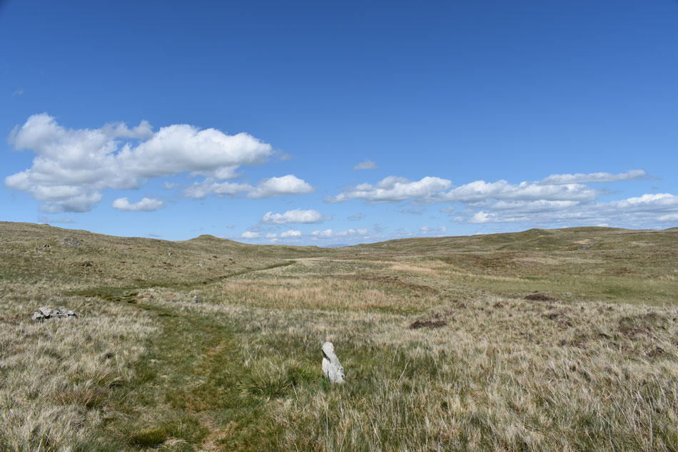 |
| Looking back on Hare Shaw from the Old Corpse Road. |
| I soon joined the Old Corpse Road from Selside End but cursed myself for taking a short cut thus missing the Corpse Road wooden stake. Oh well never mind. |
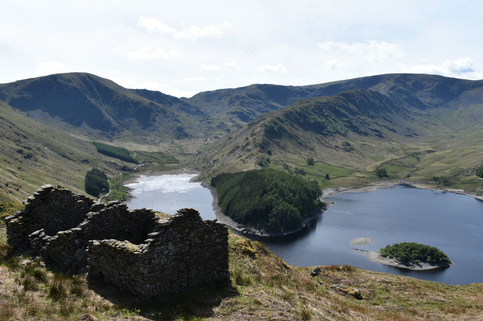 |
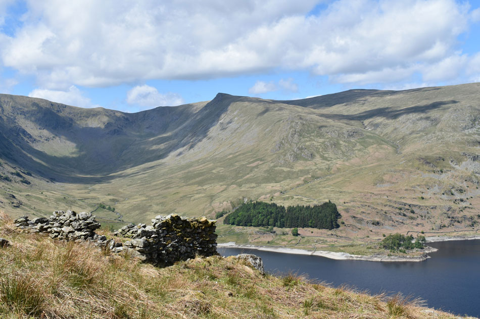
| Mardale Head from one of the ruined Peet Huts. |
| The Old Corpse Road passes through two ruined Peet Huts and it's aways worth spending time to do a little exploration of the area which is also one of the best vantage points to view Mardale Head from. |
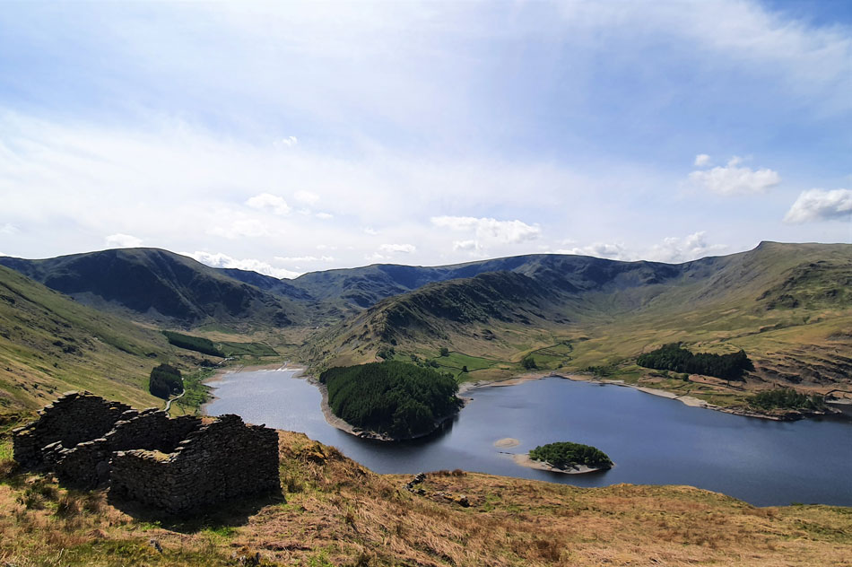 |
| Mardale Head. |
| I don't have a wide angle lens with me but I had the brilliant idea to take this photo using my mobile phone camera which captured the scene just as well as any expensive lens. |
 |
| Mardale III Bell, The Rigg, the Rough Crag Ridge, High Street, Riggindale and Kidsty Pike from the Old Corpse Road. |
It was by now midday and the temperature would soon be risiing towards the mid thirties and I was feeling pretty thankful that I wasn't about to tackle Branstree north ridge under such heat. By now the winds had eased and I found myself walking the remainder of the Corpse Road in sizzling heat which was overcome by taking long gulps of summer fruits through my bite valve.
With gooey lips and a tinged forehead I took in the last quarter mile back to my car whose roof appears like a mirage in the shimmering heat down below. |
|
| |
| Back to top |
 |
|