Walking the Birketts, Sleddale Pike and Wasdale Pike above Wet Sleddale

1st June 2020

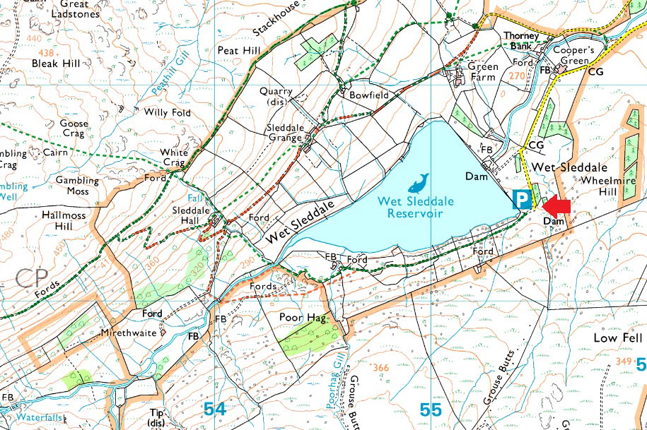
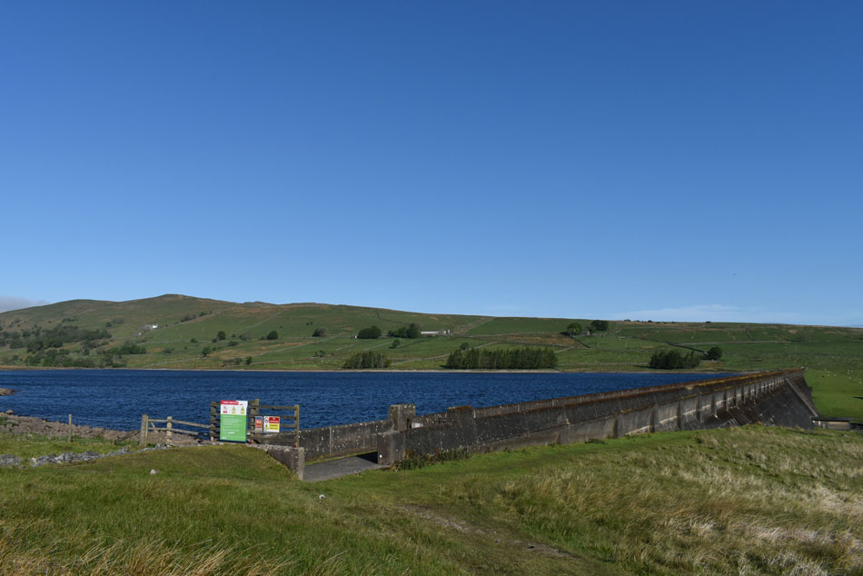
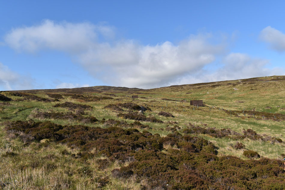
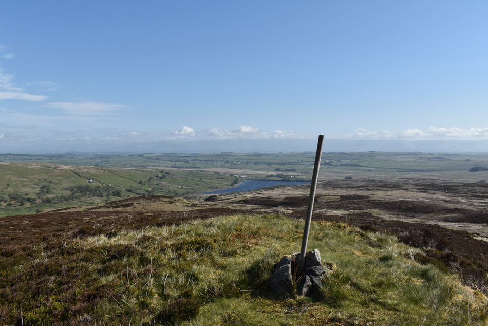
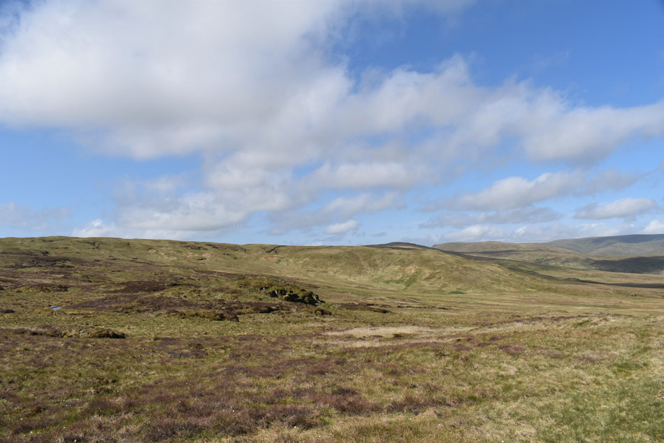
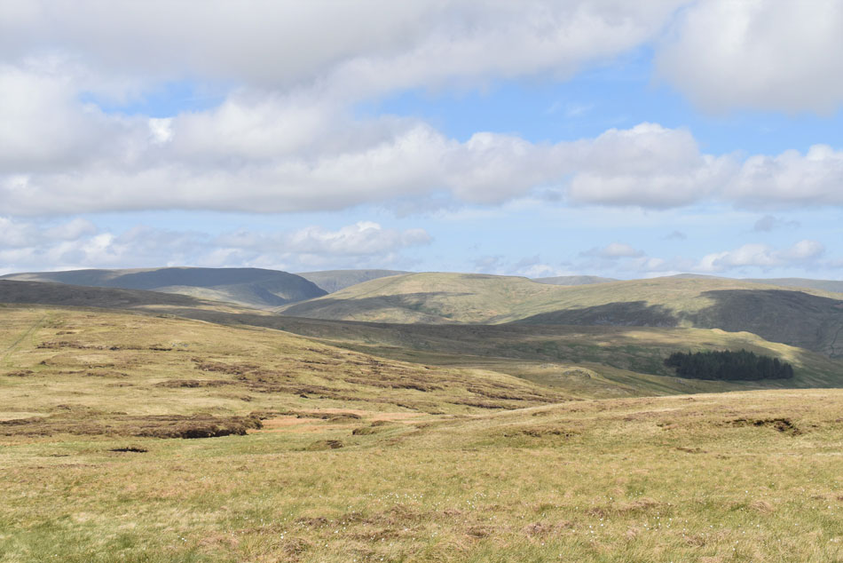
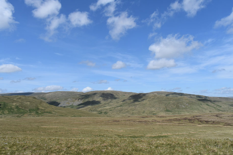
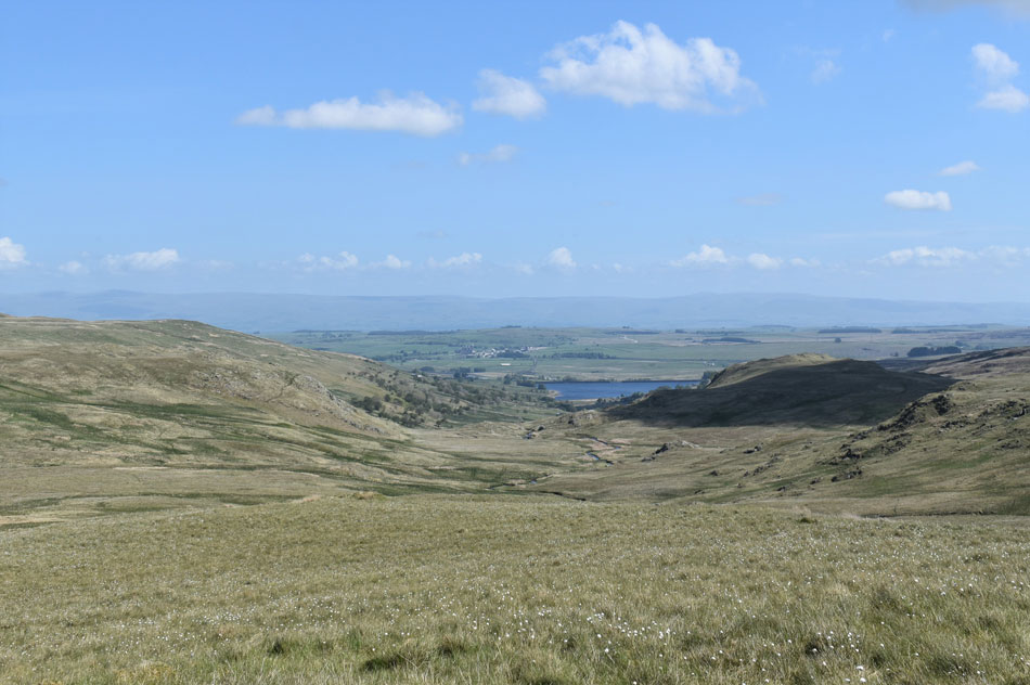
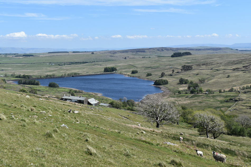
Despite enjoying an extended lunch taking nearly six hours to complete a three/four hour walk just about summed up the terrain we encountered today. It's fair to say the past couple of months have been somewhat dry and you'd think such conditions would reflect on even the soggiest of fells but not here in the apptly named Wet Sleddale.

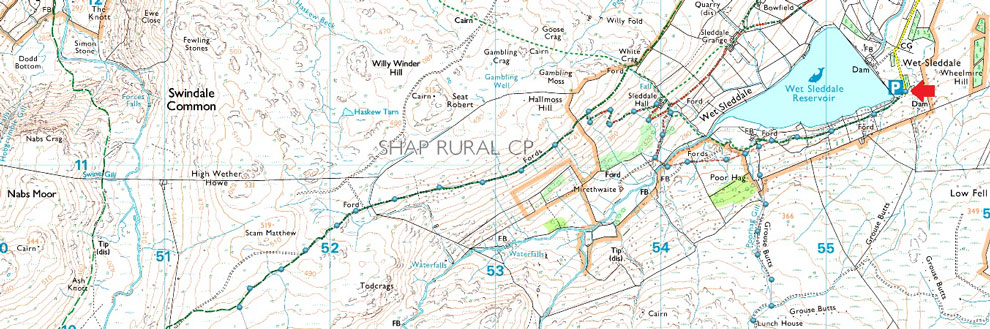
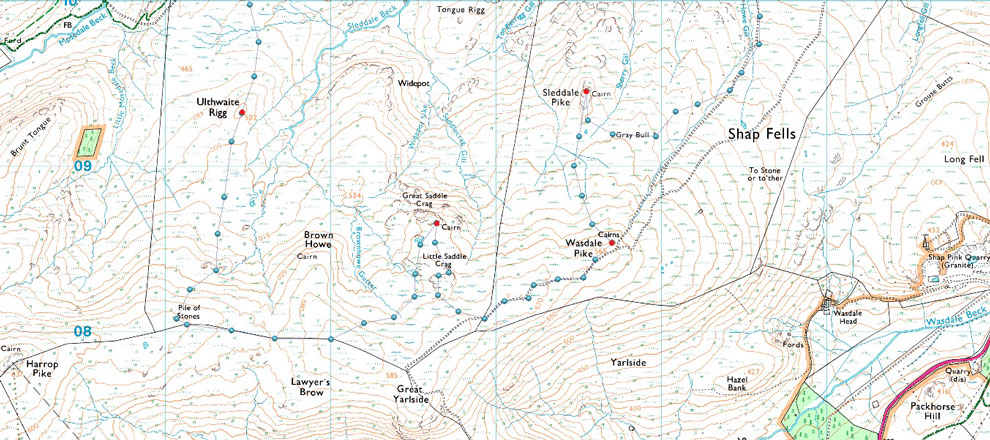
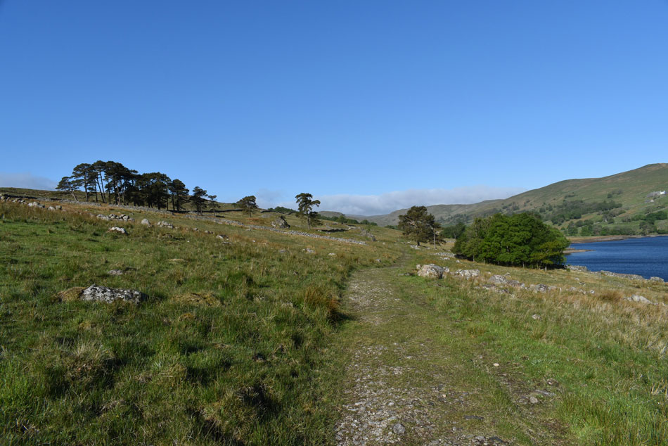
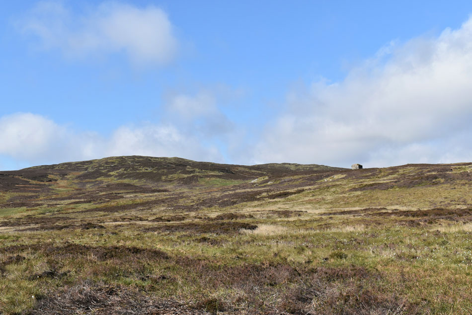
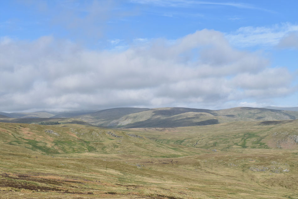
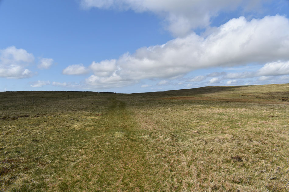
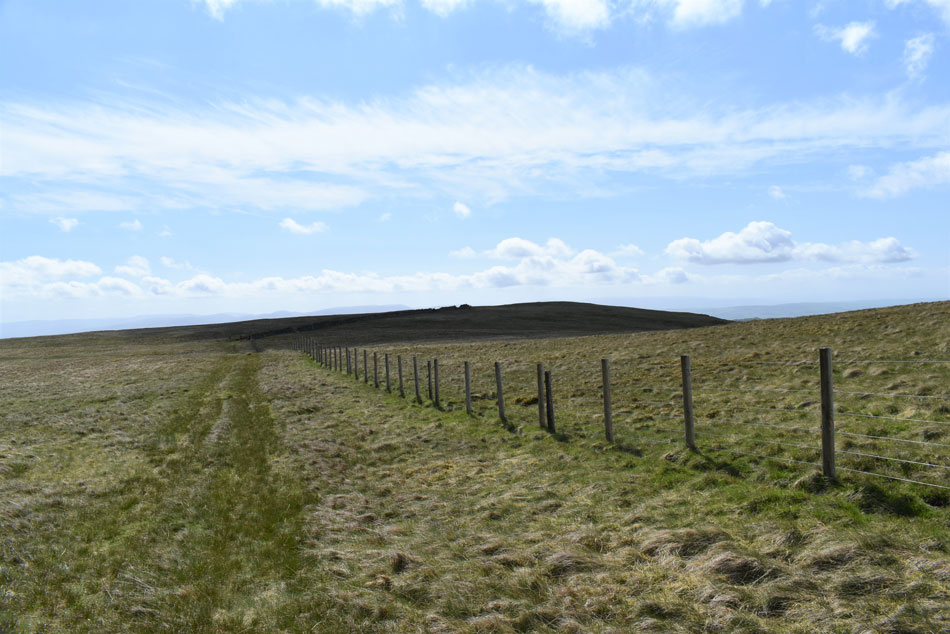
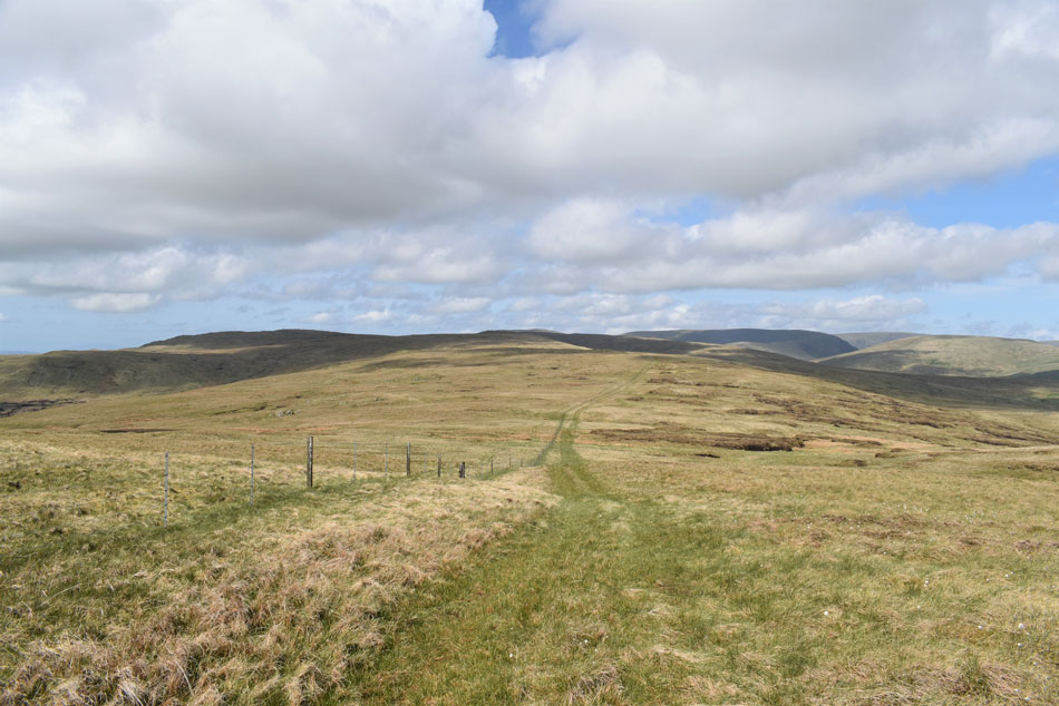
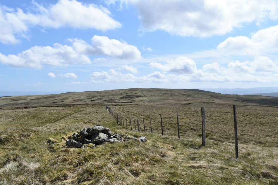
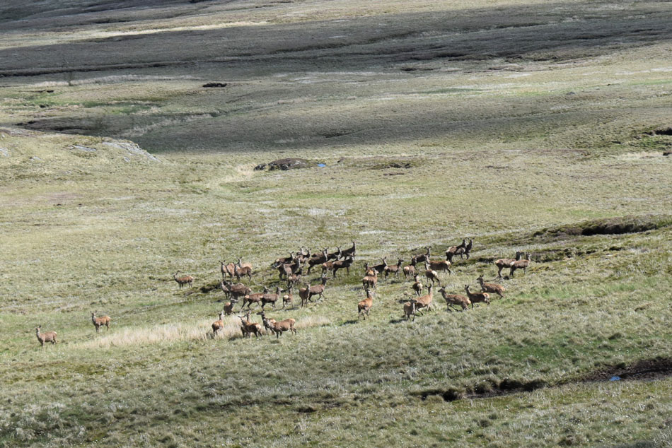
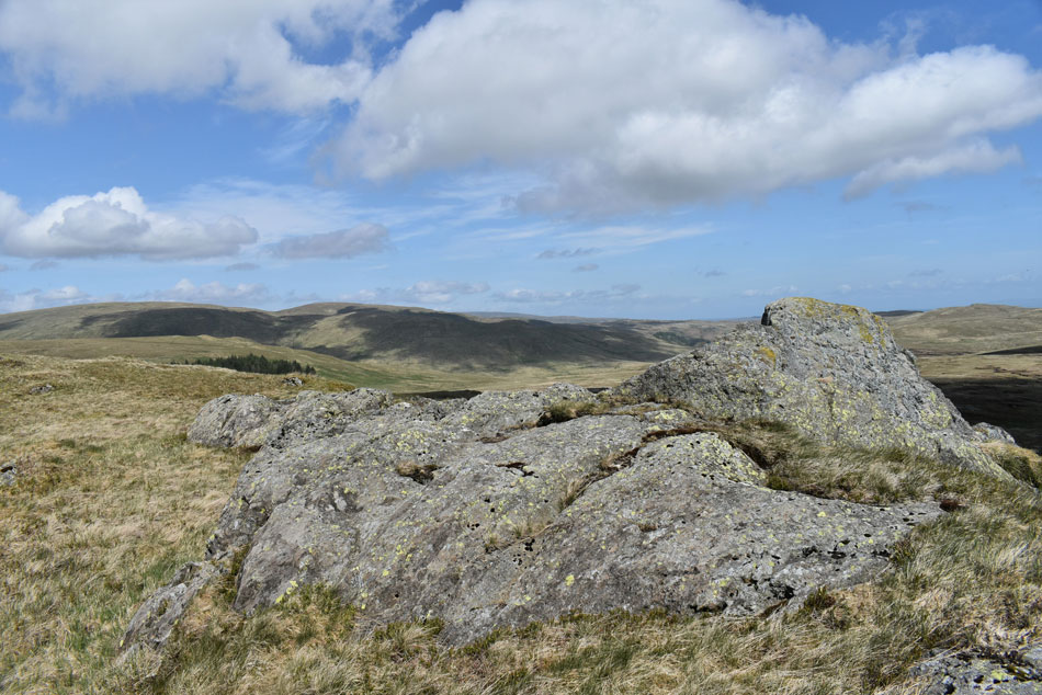
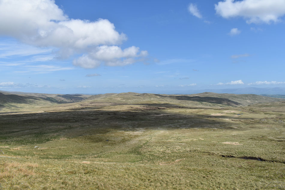
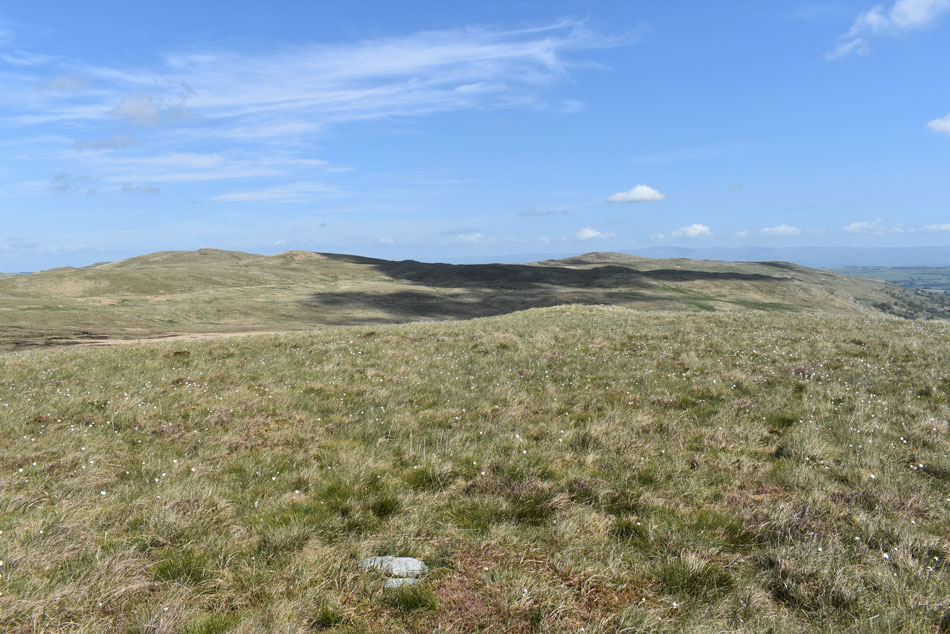
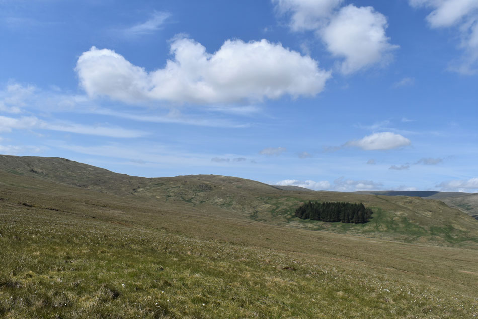
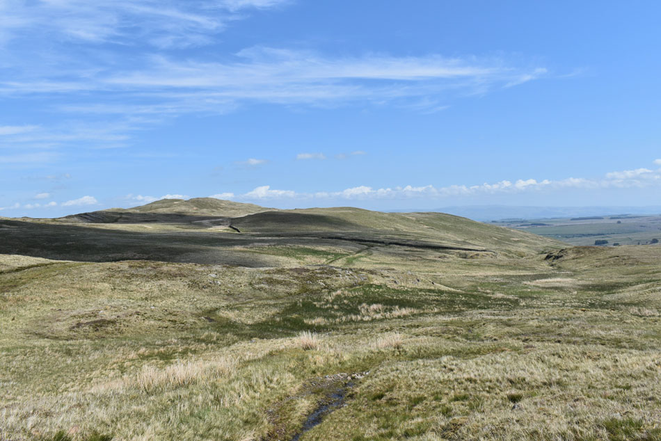
We're here today walking on the fringe of Lakeland in an area not blessed with paths but blessed with beautiful, wild, isolated scenery. An area reserved as Birkett put it for the enthusiastic roamer, a place where ones efforts are rewarded with wildlife and rolling grassy ridges. Birkett so rightly named this walk Sleddale Pike and Wasdale Pike above Wet Sleddale but it's also known as the Wet Sleddale Horseshoe.

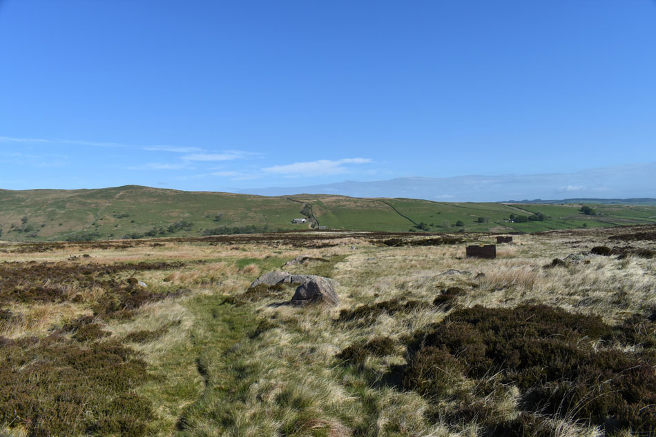
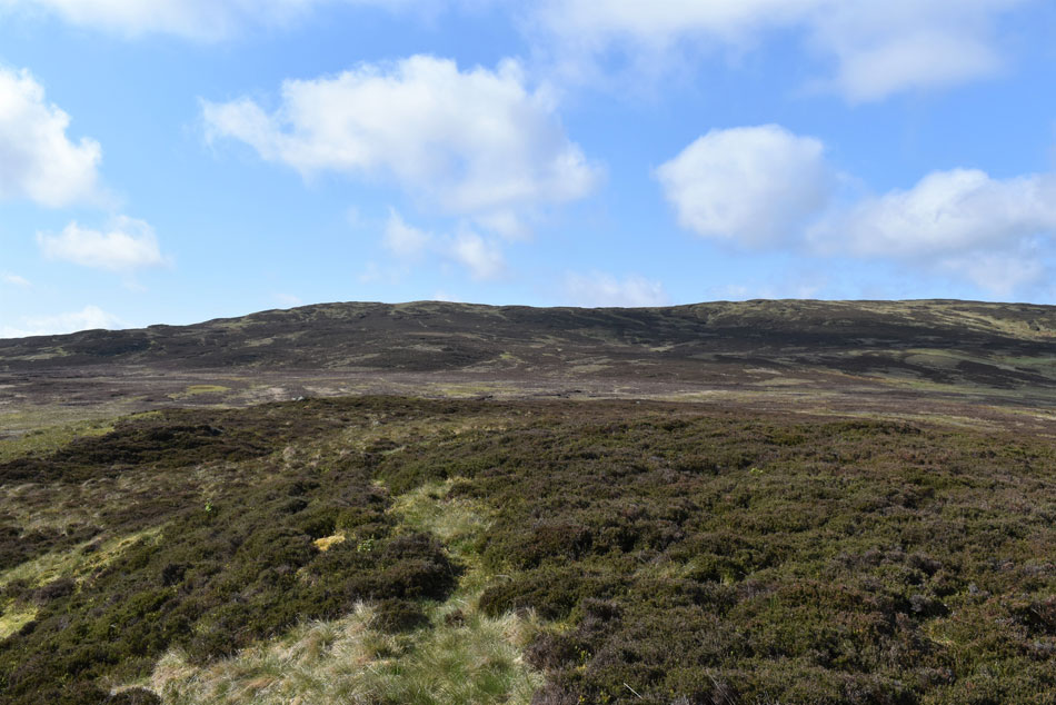
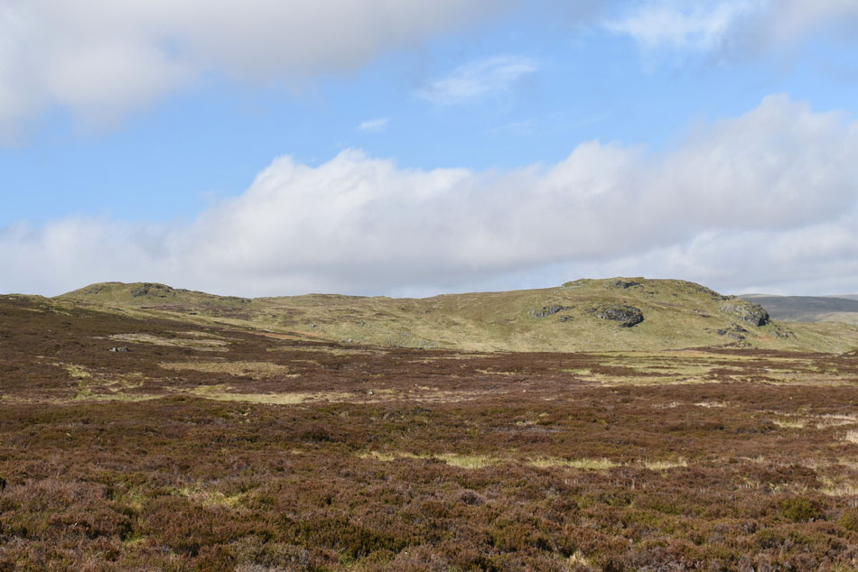
I can fully recommend this walk but its a walk for the prepared walker, the summits are linked by isolated grassy paths but gaining them from the valley is arduous underfoot and care has to be taken should the weather close in when knowing how to navigate would become a necessity.

 
The Complete Lakeland Fells
By Bill Birkett

This is a walk for the enthusiast intent on treading all Lakeland tops.


Overview
Ascent: 985 Feet - 300 Metres
Birketts: 4, Sleddale Pike - Wasdale Pike - Great Saddle Crag - Ulthwaite Rigg
Weather: A Dry & Bright Day With Cool Light Winds. Highs of 20°C Lows of 12°C
Parking: Car Park, Wet Sleddale Dam
Area - Group: Far Eastern - E/SHA
Miles: 9.5
Walking With: Rod Hepplewhite
Ordnance Survey: OL5
Time Taken: 5 Hours 45 Minutes
Route: Wet Sleddale Dam - New Ings - Poorhag Gill - Lunch House - Howe Gill - Grey Bull - Sleddale Pike - Wasdale Pike - Little Saddle Crag - Great Saddle Crag - Ulthwaite Rigg - Mosedale Bridleway - Sleddale Hall - Sleddale Beck - Wet Sleddale Dam
 

Parking Details and Map
Nearest Post Code: CA19 3NE
Grid Reference: NY 555 114
Notes: F.O.C parking can be found at Wet Sleddale Reservoir where there is room for up to eight cars to park although during the Summer months my advise would be to arrive early so to not be disappointed.


Map and Photo Gallery


Seat Robert from Wet Sleddale Reservoir 07:45am 12°C
We'd arranged to meet at 08:00am and Rod arrived first soon followed by myself at around 07:40am I guess even though we had walked High Pike just two days earlier we were still eager to put boot onto fell. Despite the cloudless skies the cool wind forced us to add to our baselayers and soon once we'd sanitised our hands we were on our way while keeping our eyes peeled for Poohag Gill, from where we'll gain the Lunch House from.


Seat Robert and Sleddale Hall from the Grouse Butts.
We had to check the exact location of Poorhag Gill using the Ordnance Survey map that Rod had brought then double checked our postion using a GPS. Poorhag Gill was on the other side of a wall and from the lack of noise must have been flowing at no more than a trickle at valley level. Once height was gained the Gill appeared given away by the sound of a cascading water well before the sight of it did. We passed the head of Poorhag Gill then located the path alongside what appeared to be, restored Grouse Butts.

Approaching Lunch House.
Steady height was starting to be gained as we followed the Grouse Butts which had all been painted with a fresh coat of deep brown wood paint. Ahead the Lunch House appeared but before we could reach it we had to pass over this rickety wooden bridge which appeared to have seen one Land Rover Defender too many.

Lunch House.
 

Continuing to follow the path with views of Wasdale Pike ahead.
We left Lunch House behind and with it, the last of any firm ground we'd see for a while. Grey Bull was next and we had two choices in how to reach it one of which was to continue following Howe Gill (located to the right of the Grouse Butts) or cross Howe Gill and make a direct but pathless approach.

Wasdale Pike with Grey Bull seen right.
We choose the direct approach and stepped over Howe Gill then began taking in the slight ascent over the wet tussocky/heather ground. With legs feeling like we could run up the Eiffel Tower and back we were in great spirits absorbing the views over Wasdale Head and the glinting windows from the traffic travelling along the A6.

Grey Bull.
A 9ft cube of pink Shap granite left here by the previous Ice Age.

Next, Sleddale Pike
From the Grey Bull we continue westwards towards Sleddale Pike where as you can see other than the pathless ground not much effort is required to reach the summit.

Wet Sleddale Reservoir from Sleddale Pike.
Sleddale Pike was soon reached and we were able to enjoy the view over trodden ground as far back as the reservoir. The sun was still shining the wind speed had increased which meant for now, we were to keep the soft shell jackets on.

A distant view over Tongue Rigg towards Harter Fell (Mardale) Branstree, High Howes, Selside Pike, Howes and Nabs Moor.
Harter Fell and Branstree are still layered in low cloud but it won't take long for the cloud to lift which was predicted in this mornings forecast.

Wasdale Pike from Sleddale Pike.
It's more or less a walk as the crow flies walk in order to gain Wasdale Pike from Sleddale Pike or it would be if it hadn't have been for the bogs bordering on swamps between both summits, we couldn't believe how wet it was and joked that we seemed to be walking ourselves into every bog there was (the ground was so flat here the bogs are difficult to navigate around until you are up on them) Nevertheless we trundled on in good spirits and started to leave the wet stuff behind (for now) once height was gained.

Taking in the view towards Little Saddle Crags (left) and Great Saddle Crags (right)
It's Little Saddle Crags who wins the height contest but it's Great Saddle Crags seen over on the right which is claimed as both a Wainwright Outlyer and Birkett fell tops.

A glimpse of Wet Sleddale Reservoir from Wasdale Pike summit.
Carrying heavy wet boots we gained Wasdale Pike easily and once again enjoyed the 360° panoramic views my favourite of which was towards the south over the Howgills but sadly I was unable to grab a photo because of the direct sunlight.

Back on firm ground.
As we follow the fence line towards the top of Little Saddle Crags while being accompanied by a singing Lap Wing.

Great Saddle Crags from Little Saddle Crags.
We turned off the path and started to make our way over Little Saddle Crags summit then negotiated the steep drop on the north side of the crag before gaining ground on Great Saddle Crags.

Another small glimpse of Wet Sleddle Reservoir from Great Saddle Crags.
With Sleddale Pike appearing to the left of the summit cairn.

Brown Howe from Great Saddle Crags.
Birkett's guidebook recommended to gain Ulthwaite Rigg from Great Saddle Crags by means of continuing west passing below Brown Howe from which Ulthwaite Rigg can be gained, this would mean negotiating the boggy ground seen in the far right of the photo which would sap at energy levels so instead we went against the guidebook and headed back to the ridge from where we would flank Brown Howe to our right and descend upon Ulthwaite Rigg from an area marked as Pile of Stones on the 1:25 000 map.

I've seen worse diversions!
That's Great Yarlside appearing over on the left which would make this stretch of path 'Lakelands greatest mile' well, according to me anyway.

Looking back on Great Yarlside.
Now seen over on the right.

Views opening out over Harrop Pike, Grey Crag (Longsleddale) Kentmere Pike, Harter Fell (Mardale) and Branstree.
We continue to follow the fence line towards Pile of Stones seen in the centre of the photo, from Pile of Stones my favourite Lakeland summit of Harrop Pike is within reach but sadly it's a summit too far today.

Harter Fell (Mardale) High Street, Branstree, Kidsty Pike, High Howes, High Raise (Martindale) and Brunt Tongue.
 

Looking back on Great Yarlside from Pile of Stones.
Seen far right in shade.

We spot a herd of Red Deer from the top of the ridge.

Having left Pile of Stones behind we took a pathless yet direct descent onto Ulthwaite Rigg by which time Rod and I were around thirty yards apart. I caught Rod slowing down in the corner of my eye he then spelt our silently D.E.E.R while pointing his arched arm below. I stepped forward two more steps and spotted them too, dropping my walking poles silently I un-cliped my camera and drew the eye piece to my eye - in the few seconds it had taken me to do this a rear facing Red Deer had spotted us and the herd started to scatter but just before they bolted I managed to take this shot.

We counted well over 40 in the herd, a truly magnificent highlight of the walk and one of which we might not of had the pleasure of seeing had we followed the guidebook.


The area of ground we had observed the Red Deer from.
 

A disant Scam Mathew and High Wether How with Ulthwaite Rigg seen in the foreground.
While over in the right of the photo is Seat Robert.

Scam Mathew, High Wether Howe, Glede How and Seat Robert from Ulthwaite Rigg.
We had encountered more boggy ground while reaching Ulthwaite Rigg but yet again the views into Mosedale and the Swindale Head more than made up for it. It was gone lunch time and by now we were starting to feel quite hungry but our hunger pains would have to wait until we joined the Mosedale Bridleway which wasn't a great distance away but in order to reach it we had some bog stomping to do.

The view back towards Harrup Pike (left) and Burnt Tongue (right)
 

Harter Fell (Mardale) Branstree, High Howes and Selside Pike seen over the Mosedale Valley.
A true feeling of remoteness was felt here having only observed other walkers from afar up until now we had yet to pass anyone.

A distant Wet Sleddale Reservoir taken as we descended Ulthwaite Rigg bound for the Mosedale Bridleway
With Tongue Rigg seen over on the right.

Glede Howe from the Mosedale Bridleway.
The wind had eased and the midday sun had started to take the temperature up into the late teens which was great timing as we had settled on eating our lunch behind the wall in the distance.

Looking down on Wet Sleddale Reservoir with Sleddale Hall seen centre.
After our extended lunch we packed up and sanitised our hands again. By now it was warm enough to walk in our mid layer so our soft-shells were packed away. Continuing along the bridleway we were no sooner descending the familiar Sleddale zigzags before crossing Swindale Beck via the pack horse bridge. By now we had already passed a couple walking their dog below Sleddale Hall and we could see more walkers heading towards us from the car park. We took in the last half mile under a warm afternoon sun but from memory neither of us would complain about our aching limbs until emails were exchanged the following day.


Back to top