Carrock Fell and High Pike

30th May 2020

While Mountain Rescue Teams are still urging walkers to stay away from the high fells I feel this walk, along with any future walks for the foreseeable falls in line with Mountain Rescue England and Wales recent update (dated 29th May) whose advice to "Reduce the risk of needing to call for assistance, by taking less risks, keeping to familiar routes, being suitably equipped and more self-reliant"

Despite lock down and travel restrictions being lifted it is important to take the governments advice on limiting the spread of infection to wherever we choose to walk, not forgetting those who travel into Cumbria from outside another county to follow a few simple steps - after all we are merely visitors to this wonderful county.

I personally carry heaps of sanitation gel and I wash my hands regularly before, during and after my walk, I also try to limit contact with any type of countryside furniture from gates to bridge hand rails, funnily enough Rod has a new technique to open gate catches by using the tip of his walking pole and he's actually quite good at it. Most importantly I take my litter home with me, this is something that is escalating at the moment and I can't stress enough that not doing so invites the spread of infection should those who left it unknowingly be Covid-19 positive.

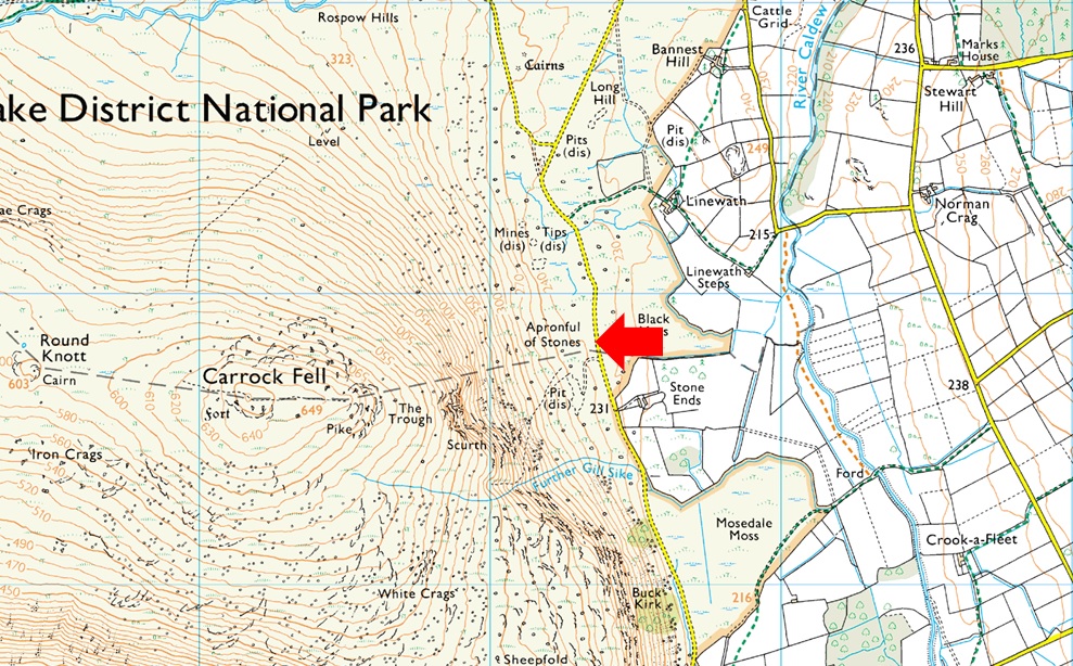
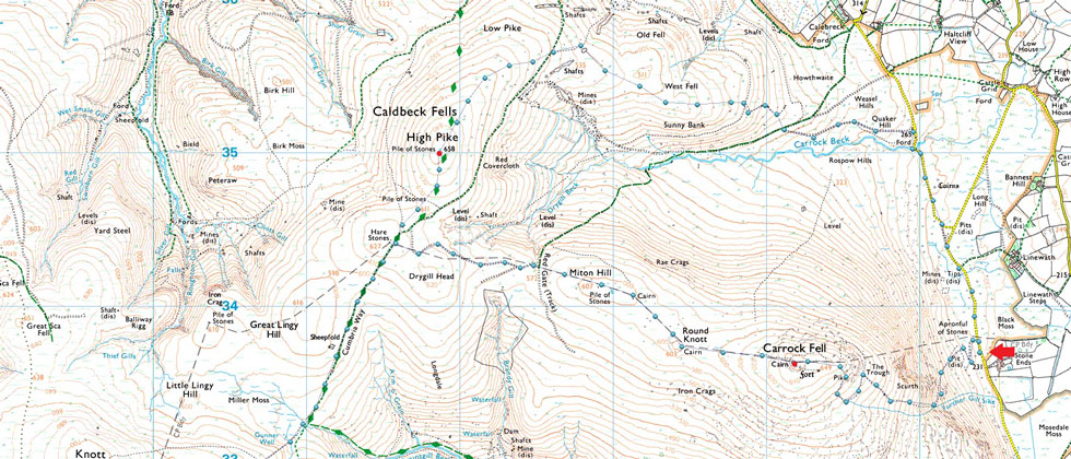
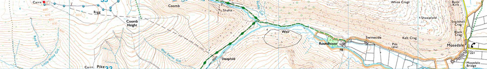
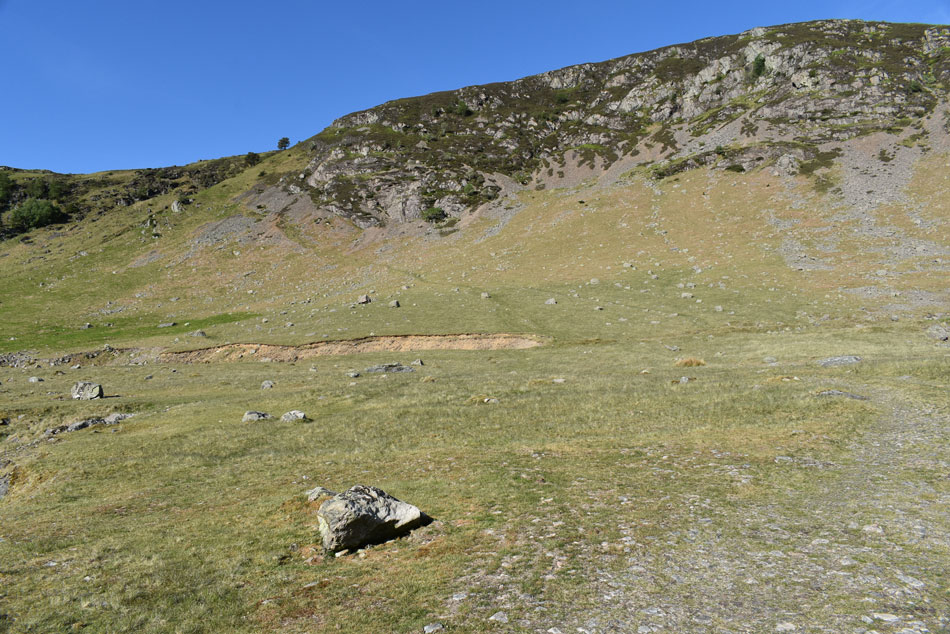
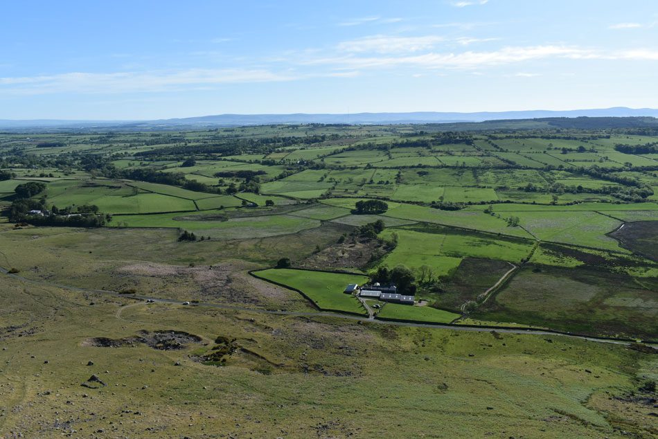
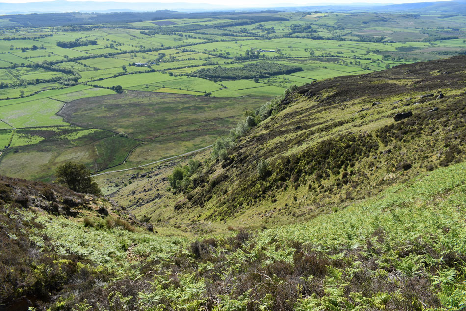
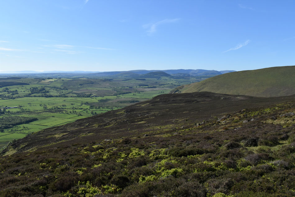
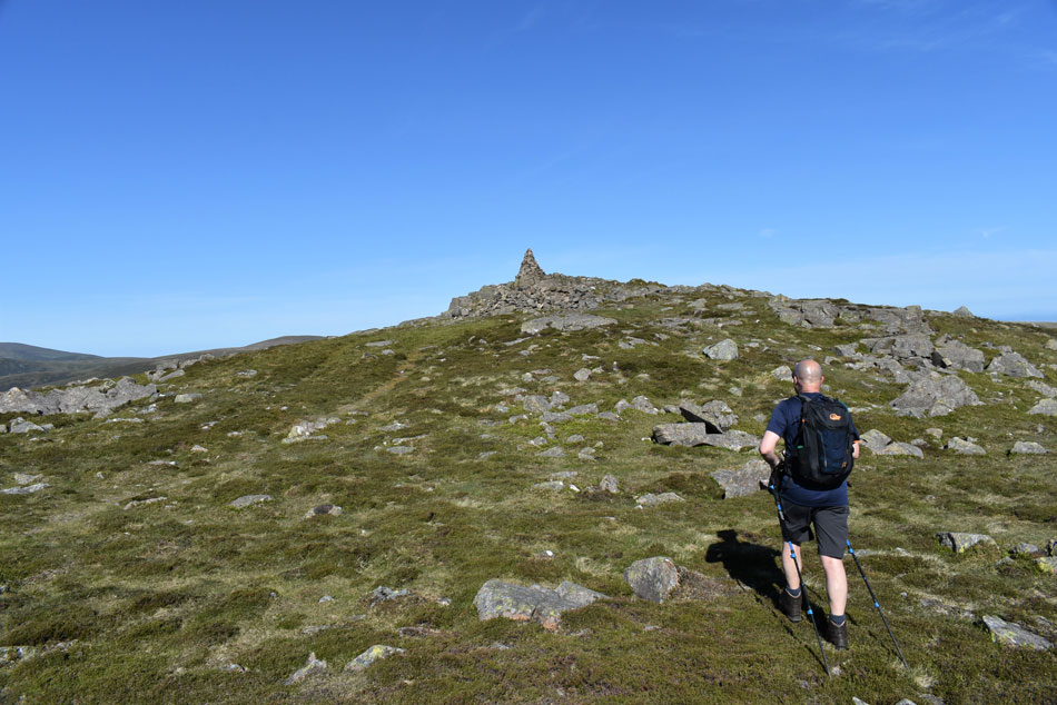
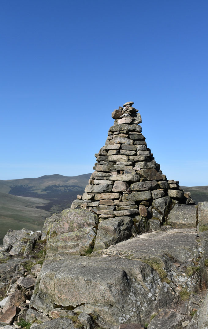
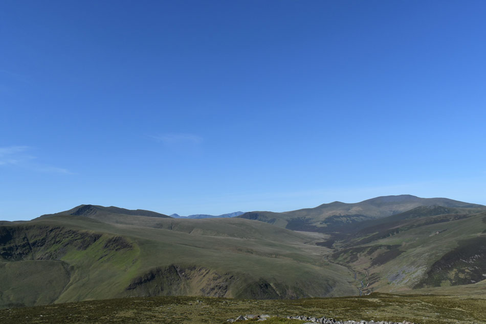
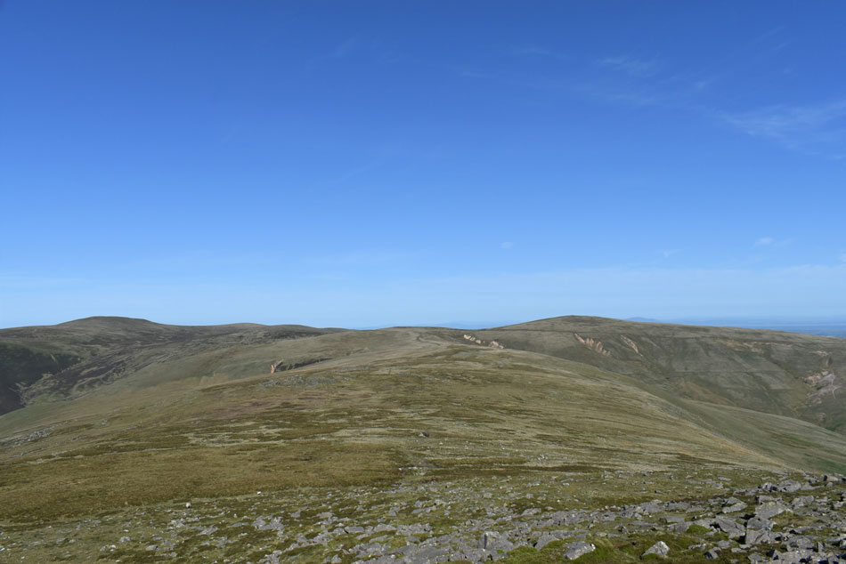
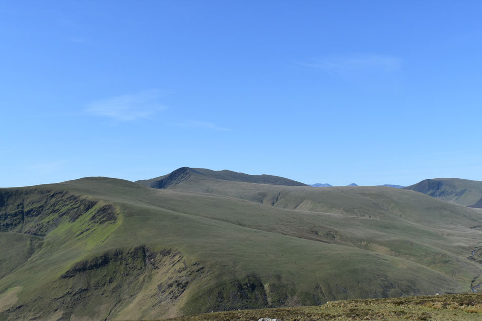
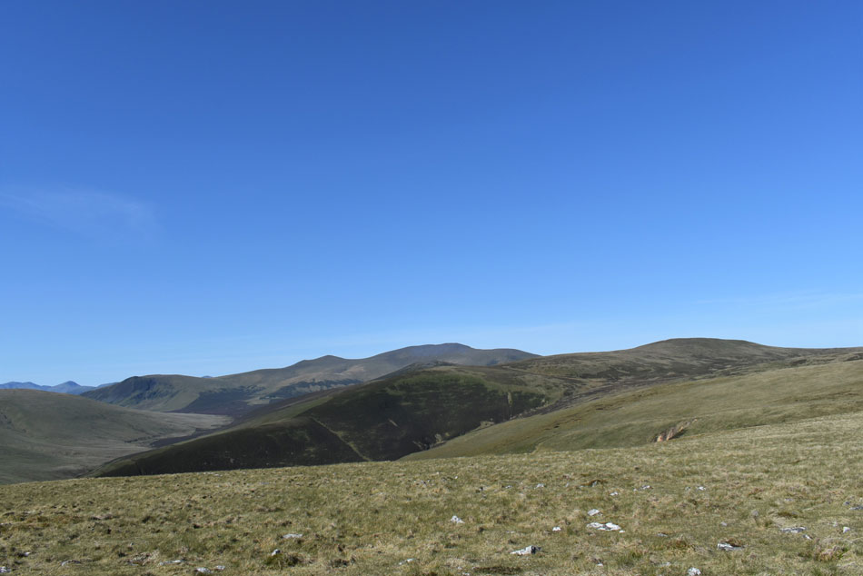
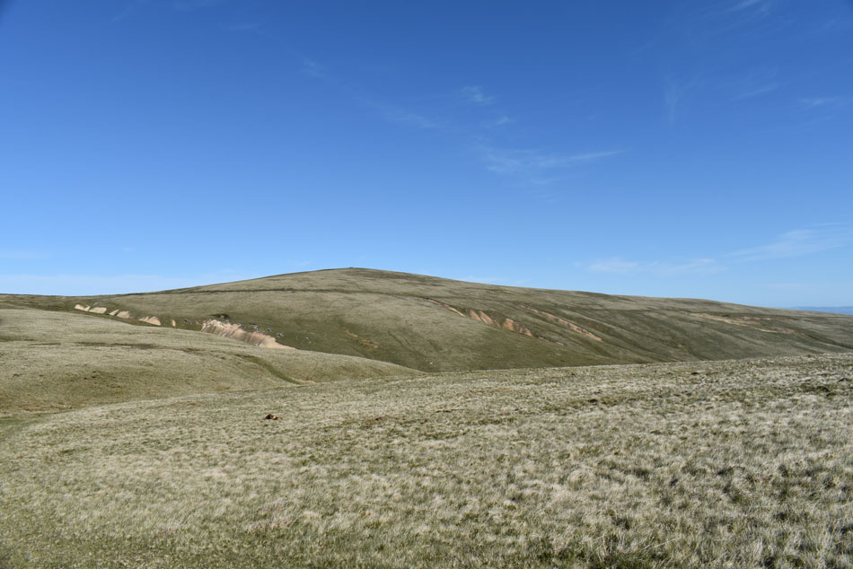
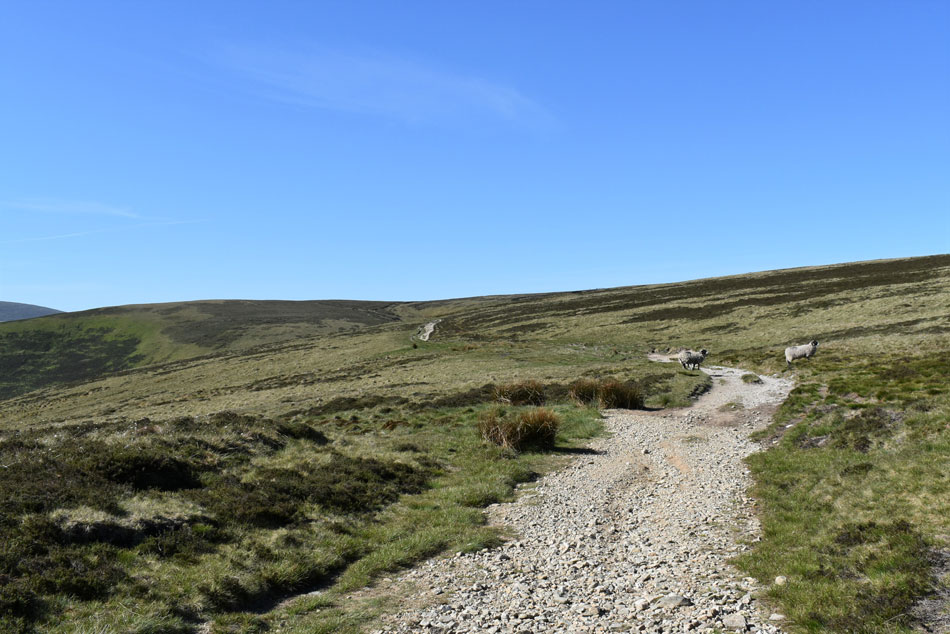
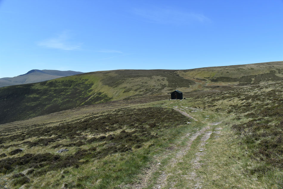
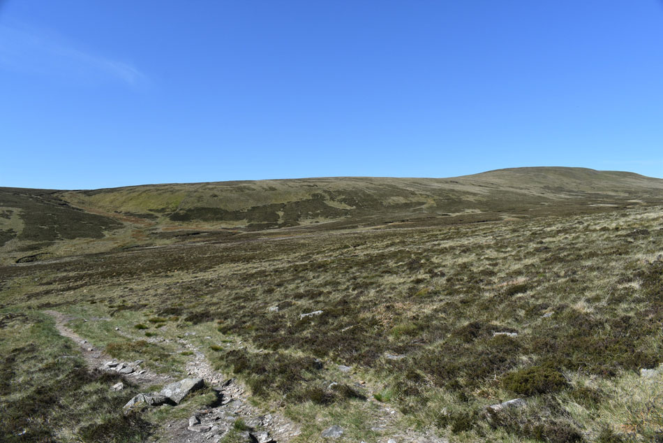
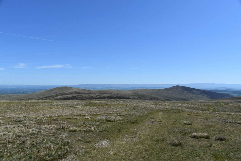
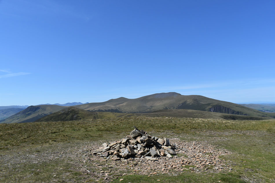
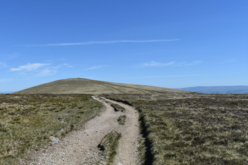
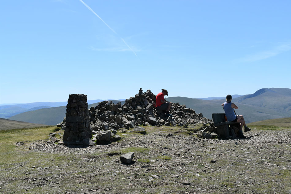
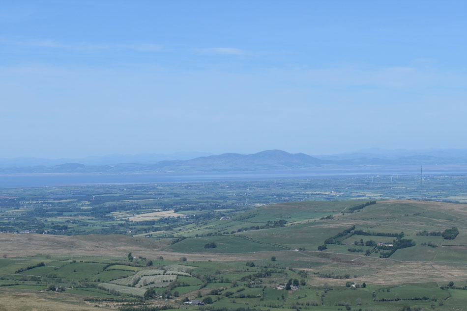
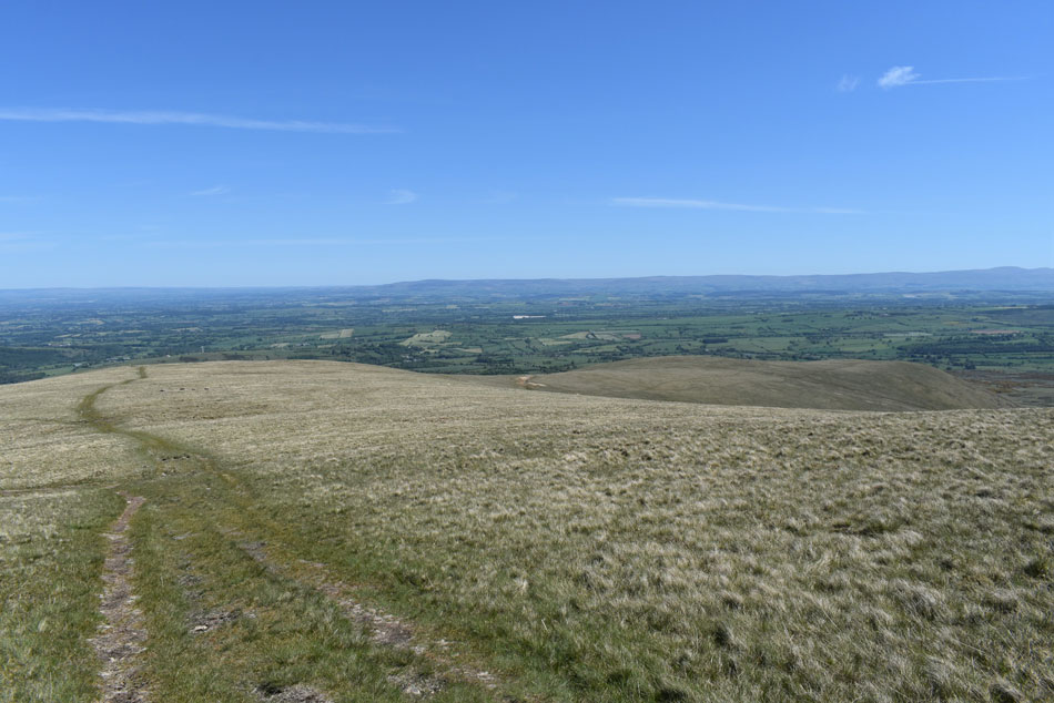
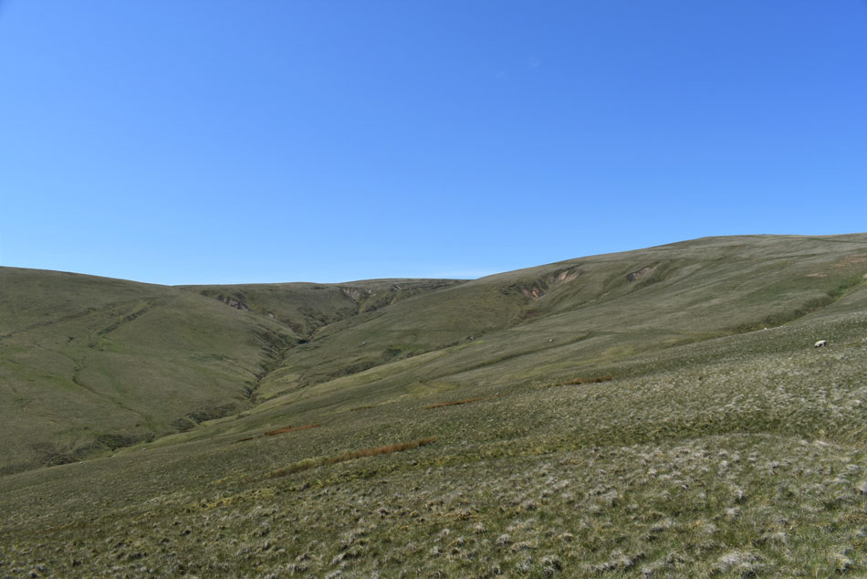
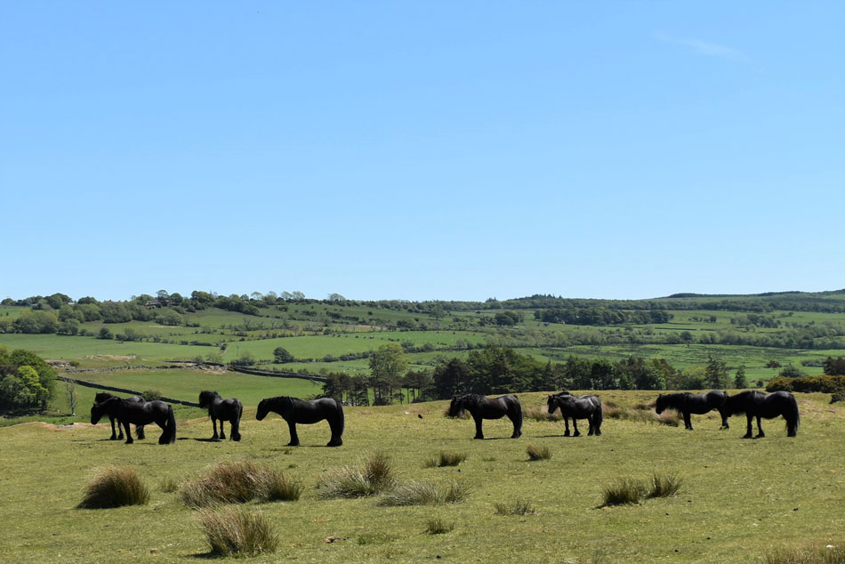
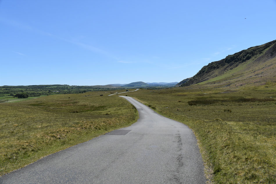
Rod and I got together to climb High Pike via Carrock Fell taking into account that this walk passes through no Farmland nor public buildings while capturing some of the best grassy ridges the district has on offer.

 
Wainwright Guide Book Five
The Northern Fells

-Carrock Fell

The fell is massive, occupying the north east corner of the high country "back o' Skidda" where it overlooks the Border and the valley of the Eden.


Overview
Ascent: 2,486 Feet - 758 Metres
Wainwrights: 3, Carrock Fell - Knott - High Pike (Caldbeck)
Visiting: 4, Roung Knott - Miton Hill - Low Pike - West Fell
Weather: Warm Dry & Sunny, Cool Breeze AM Easing PM Highs of 21°C Lows of 12°C Max Wind Speed 20.8mph
Parking: Roadside Parking, Apronful of Stones
Area: Northern
Miles: 10.2
Walking With: Rod Hepplewhite
Ordnance Survey: OL6
Time Taken: 5 Hours 10 Minutes
Route: Apronful of Stones - Further Gill Syke - Carrock Fell - Round Knott - Miton Hill - Drygill Head - Hare Stones - Lingy Hut - Knott - Lingy Hut - Hare Stones - High Pike (Caldbeck) - West Fell - Carrock Beck - Apronful of Stones
 

Parking Details and Map
Nearest Post Code: CA7 8JS
Grid Reference: NY 353 633
Notes: Apronful of Stones is the name given to the area around a mile north of Mosedale hamlet. If travelling from the direction of Mosedale roadside parking can be found to the left just past Stone Ends Farm which will appear on the right. The parking area isn't tarmaced but a grass clearing to the left will give the parking spaces away. Apronful of Stones provides excellent access to Carrock Fell and High Pike amongst others and parking is free.


Map and Photo Gallery


Carrock Fell from Apronful of Stones 07:55am 12°C

Rod's eagerness to put boot on fell preceeded him arriving first and this morning was no different. We had arranged to meet at 7.45 for a 8.00am start. I would have been early but I slowed the car down if only to take in the view of Blencathra from the A66 - a view that I had missed dearly and had not seen for over two months. Despite the clear blue skies and sunshine it was still a tad nippy but once under way we should soon start to warm up.

After sanitizing hands we lock our cars and pick up the path seen veering off to the left, it's a steep start straight from the off and soon the cool morning breeze was replaced with beads of sweat running down the side of my head.


Looking down on Stone Ends Farm with the view extending as far as the Pennines.
Our cars are starting to look much smaller now.

Looking down Further Gill Syke.
We hit the steep path in good spirits and no sooner had we looked we were climbing steeply alongside Further Gill Syke which as you can see was ablaze in young Bracken which is doing a good job of hiding the path but it's there and easy to follow.

Looking back along the Carrock Fell South West spur.
With Bowscale Fell East ridge in the foreground, the Mell Fells and far Eastern fells in the distance.

Carrock Fell summit.
We passed the familiar sheepfold and Rod stopped to take a few photos before continuing towards the summit where it appears the summit cairn has had a bit of a make over.

Carrock Fell summit cairn.
A little tenderness goes a long way.

The view over Bowscale Fell north ridge towards Blencathra, Mungrisdale Common, Lonscale Fell Skiddaw and Great Calva.
Not a cloud in the sky!

Knott (left) and High Pike (right)
We met a couple who were sitting in the summit shelter and chatted about the new look summit cairn although I don't think they realised the cairn had been rebuilt. After leaving the summit we started to make our way down to join the grassy ridge before heading towards Round Knott.


Lonscale Fell, Skiddaw, Coomb Height and Knott from Round Knott.
It's been sometime since I summited Carrock Fell and High Pike under such glorious weather and it was an absolute delight being able to cross the usual boggy ground without so much as getting the caps of our boots wet.

High Pike (Caldbeck)
A family that had left Apronful of Stones before I arrived were now making their ascent on High Pike. We arrived at Miton Hill about the sametime as a couple who had just left High Pike bound for Carrock Fell and 'mornings' were shared at the summit cairn. We took in the slight descent from Miton Hill then veered left before picking up the Cumbrian Way bound for Lingy Hut and Knott.

Heading West along the Cumbrian Way.
 

Lingy Hut soon appears.
With Blencathra seen beyond Coomb Height.

Knott.
We decided to explore Lingy Hut and we were pleased to see how well kept the hut appeared both inside and out. Rod had used the hut during his epic Cumbrian Way walk last year and although I've passed it to many times to mention today was the first time I'd actually spent any time inside. Up ahead is Knott and to gain it we continue ahead before picking up the slanting path seen ahead, it's actually much steeper than it looks from here.

Looking back on Little Lingy Hill and High Pike (Caldbeck)
You can just about make out Lingy Hut in the centre right of the photo.

Gaining ground on Knott from the Rigg.
We had spotted a second path further along the east flank of Rigg which we had planned to descend from but no matter how hard we tried we couldn't see its whereabouts so once on the Rigg so it was decided we would return via the same path we had ascended by.

High Pike (Caldbeck) and Carrock Fell from Knott.
 

Great Calva, Lonscale Fell, the Skiddaw massif and Bakestall from Knott.
With Knott gained we stood around to admire the clear views which extended as far as the Isle of Man towards the west and the Solway Firth towards the north. We were soon joined by a young girl who had ascended from the direction of Great Sca Fell and Hi's were passed as we all took in the view, social distancing of course.

Retracing our steps as we head past Lingy Hut once more.
We left Knott and started to make our way back along Rigg and descended while commenting how steep it was, we crossed a youthful Grainsgill Beck and linked up with The Cumbrian Way by which time that cool wind had been replaced by a warm breeze.

High Pike (Caldbeck) from the Cumbrian Way.
High Pike was definitely the 'peoples choice' today with two walkers in ascent ahead and two more descending, hopefully with any luck if it does get busy folk will be sensible and practice good social distancing.

High Pike (Caldbeck) summit.

I always enjoy the ascent on High Pike and todays was no different. We arrived to quite a busy summit with two young girls chatting to the fellow sat on the cairn who politely moved once they saw Rod and I wanted to take a few photos. Even though people were social distancing (of a sort) My time spent on summits for the foreseeable will be kept to the absolute minimum if it's looking busy because people will naturally want to chat or take a break which could form a small crowd, its only human I suppose which is why its so important to remember to social distance.

After a quick photo we left and descended slightly towards the second summit shelter overlooking Low Pike.


Lunch with a view.
We weren't able to sit in the summit shelter due to the easterly wind so we took shelter on the west side instantly feeling the benefit from the midday sun while absorbing the views along the Scottish coastline towards Criffle.

Low Pike and West Fell.
After an extended lunch we packed up and began making the delightful descent via Low Pike and West Fell seen over on the right.

Looking back towards Drygill Head and High Pike (Caldbeck)
 

Fell ponies.
Enjoying the sunshine.

A distant Great Mell Fell as we head back to Apronful of Stones.
It was an absolute delight to descend Low Pike and West Fell where easy walking took on a new term all together with a hot sun overhead. We passed Carrock Beck by the Ford and began the last mile back via the road. By now a few families had parked up and were either picnicing or reading a good book and I kinda felt like maybe one day I'd like to park up, pull out a chair and sip tea from a flask but then again I'd only want to go and climb summat.


Back to top