Walking the Birketts, Great Cockup to Knott

4th May 2019

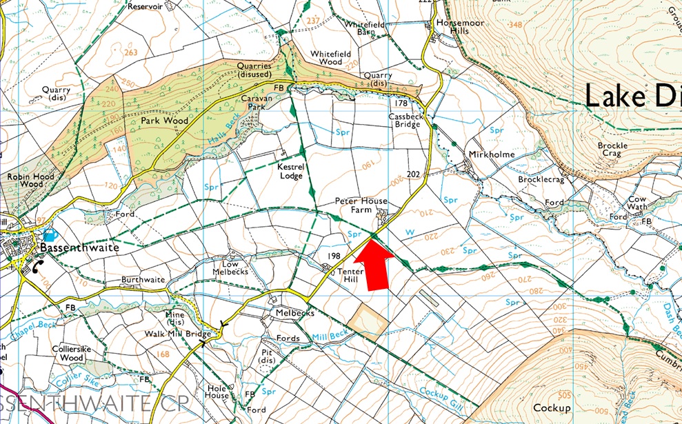
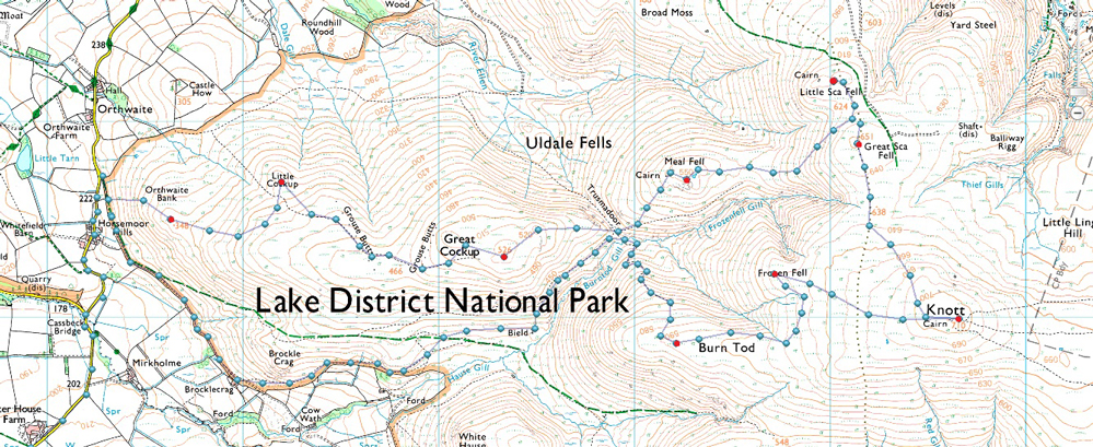
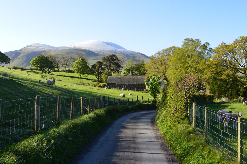
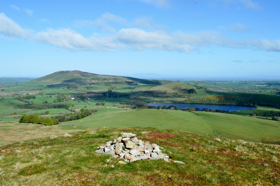
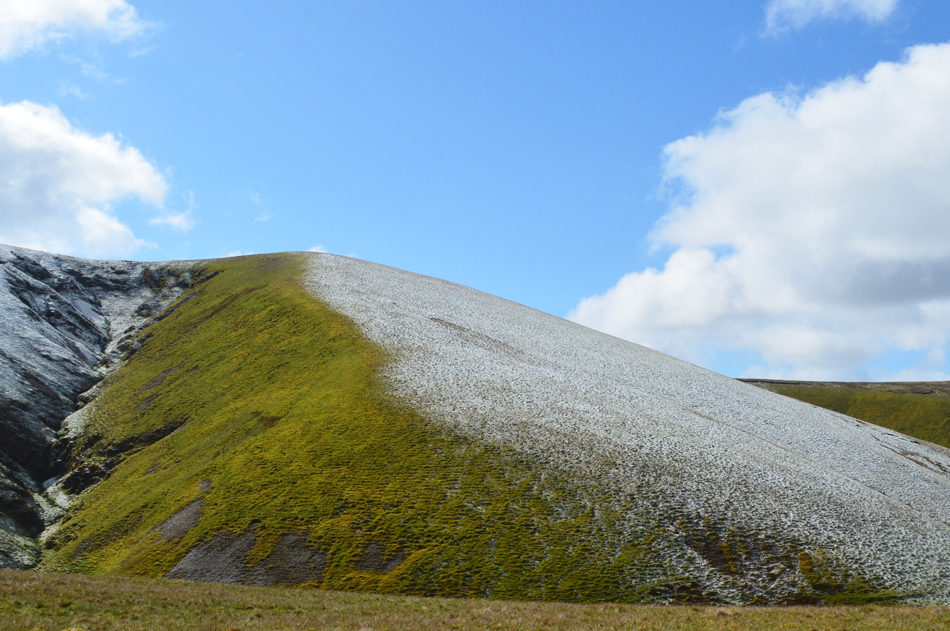
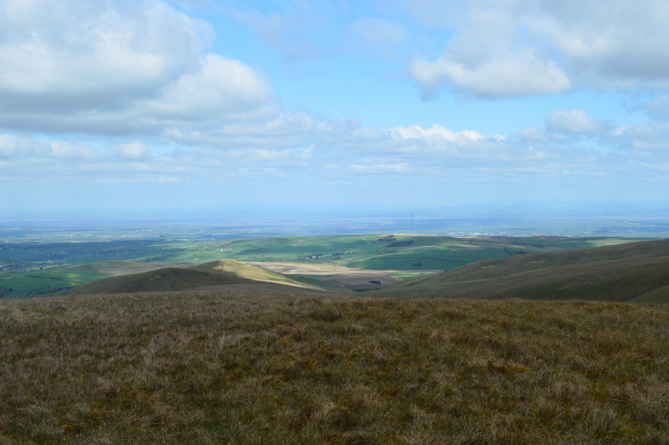
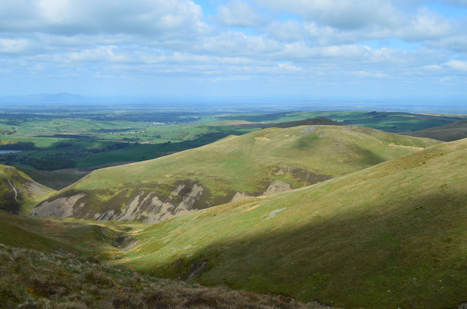
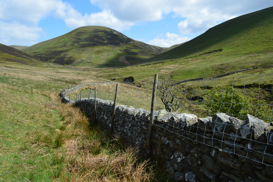
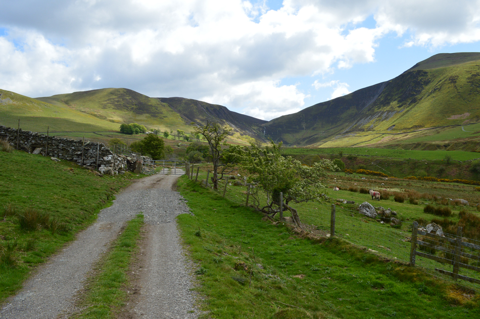
It's the first Bank Holiday of May and with the mainstream summits being a little over crowded today we thought we'd choose a low key walk in remote area of north Lakeland known for its grassy ridges and and eye watering long distant views, today we will be collecting nine summits in Birketts footsteps on the Uldale fells.

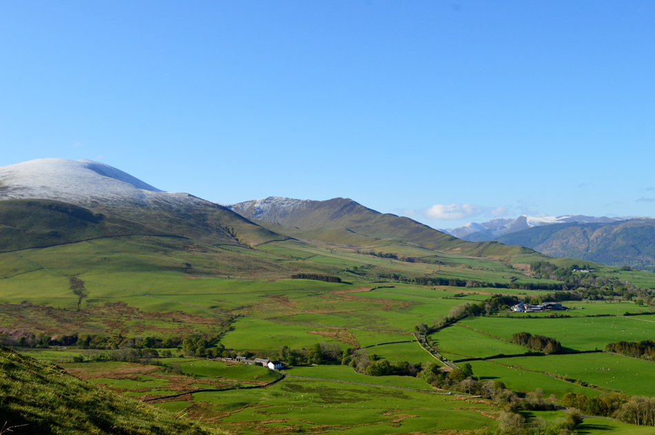
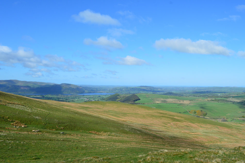
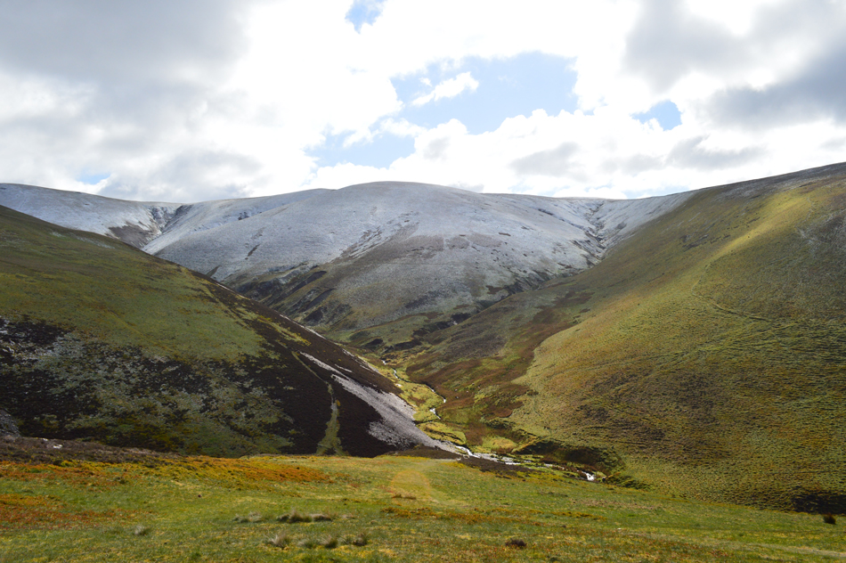
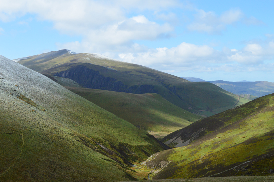
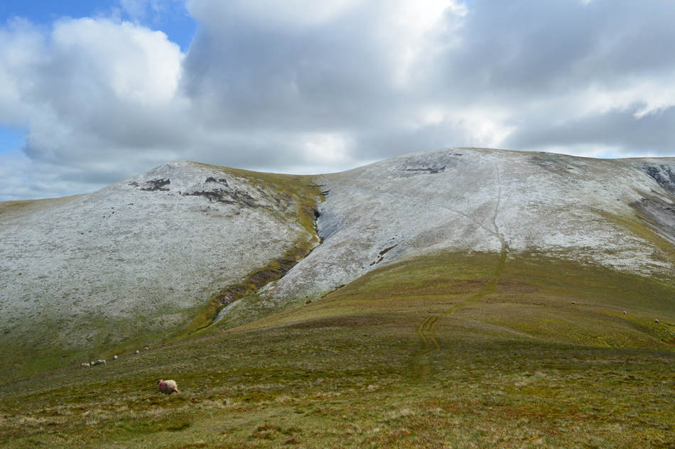
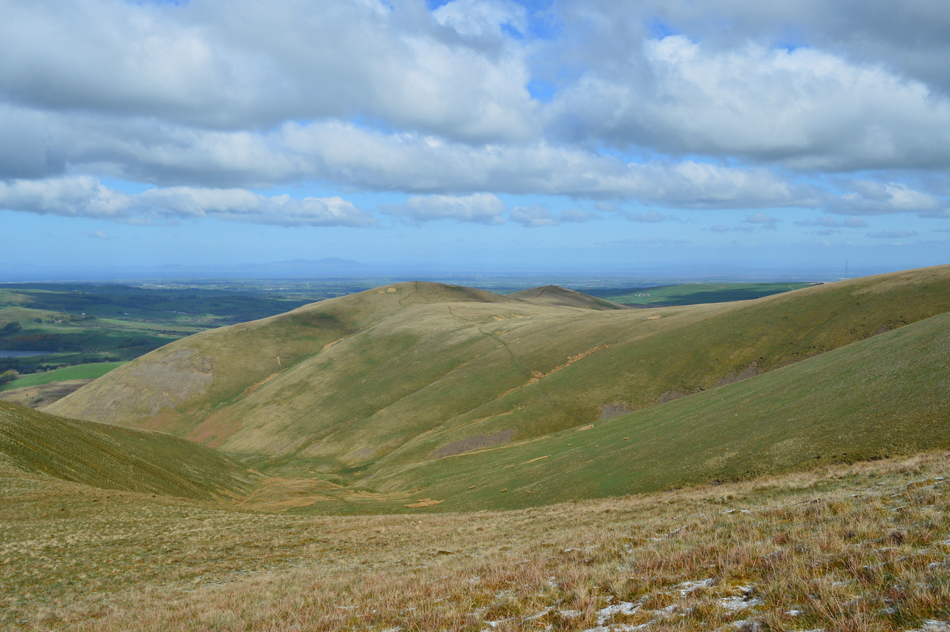
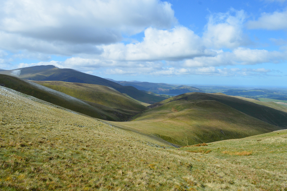
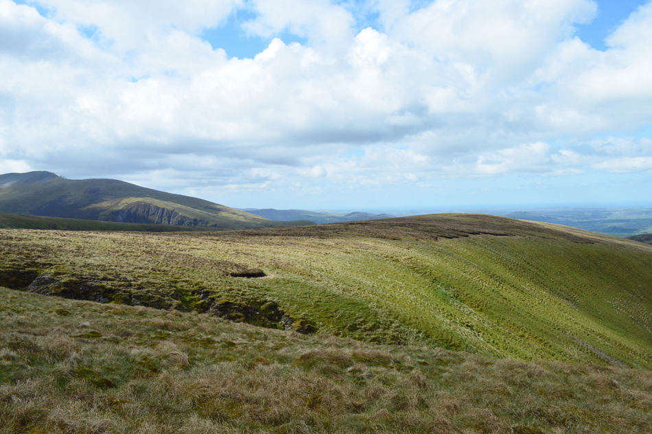
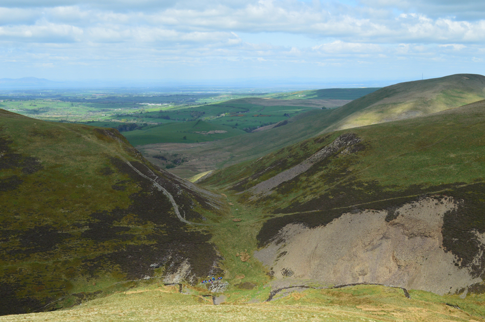
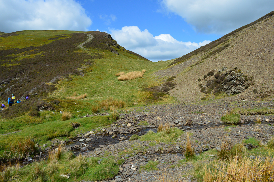
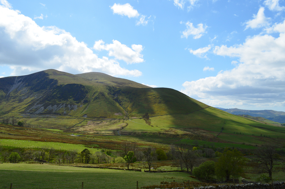
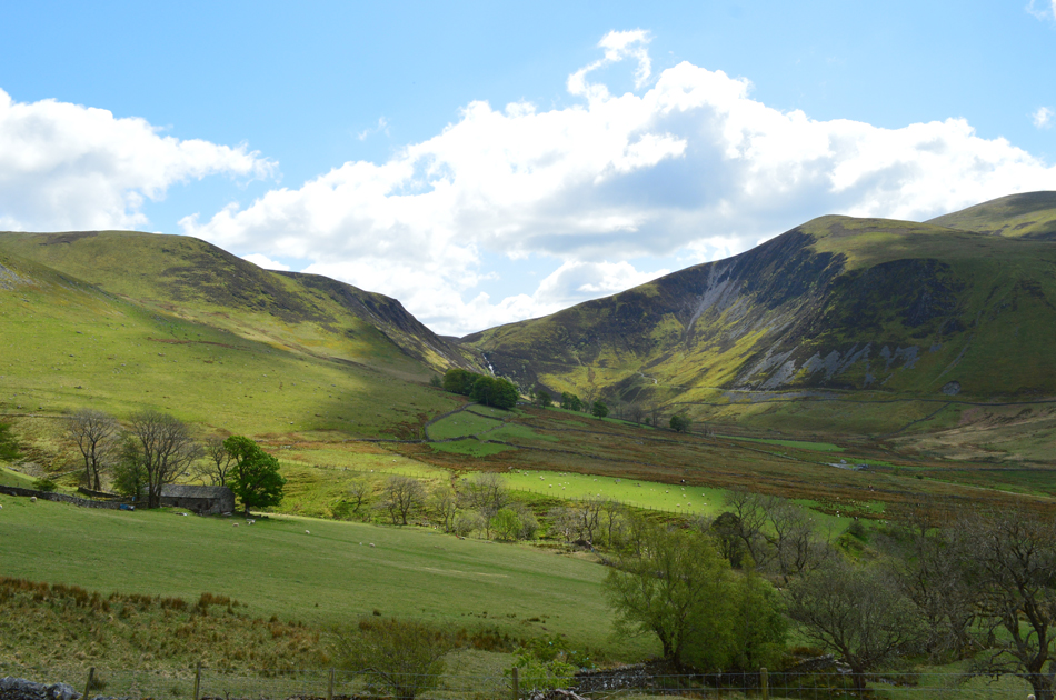
This is the second installment that Birkett gave to the Uldale fells the first of which we completed on a wet and windy day back in December last year. Today promises to be much drier which can only add to the experience of walking these remote hill tops. Todays first summit is that of Orthwaite Bank perched above the hamlet of Orthwaite followed by Little and Great Cockup before we descend into the fabulous micro valley of Trusmadoor from which we start the steep ascent on Meal Fell from.

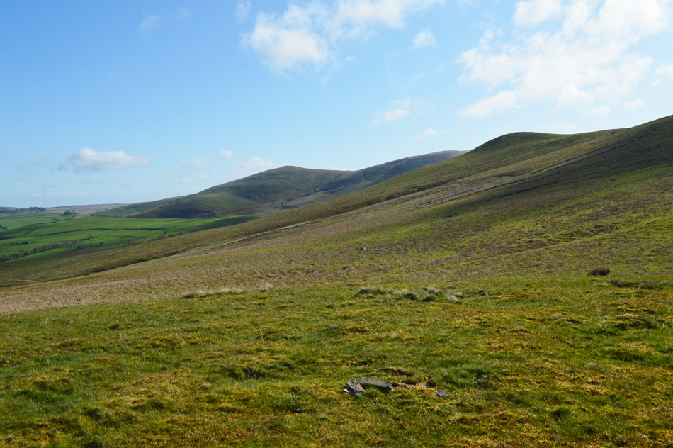
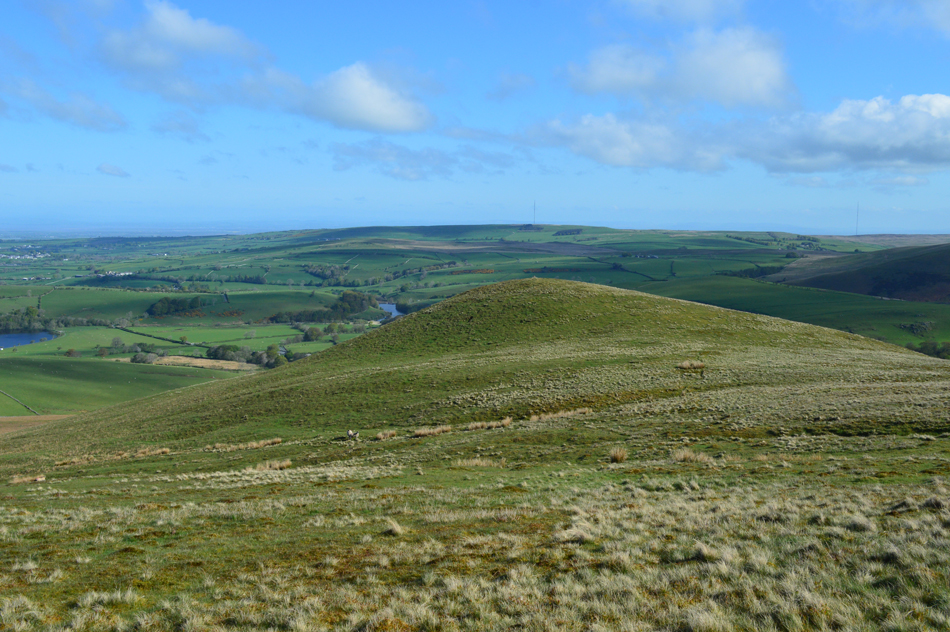
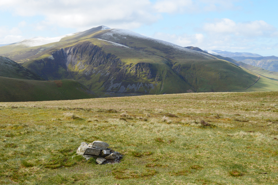
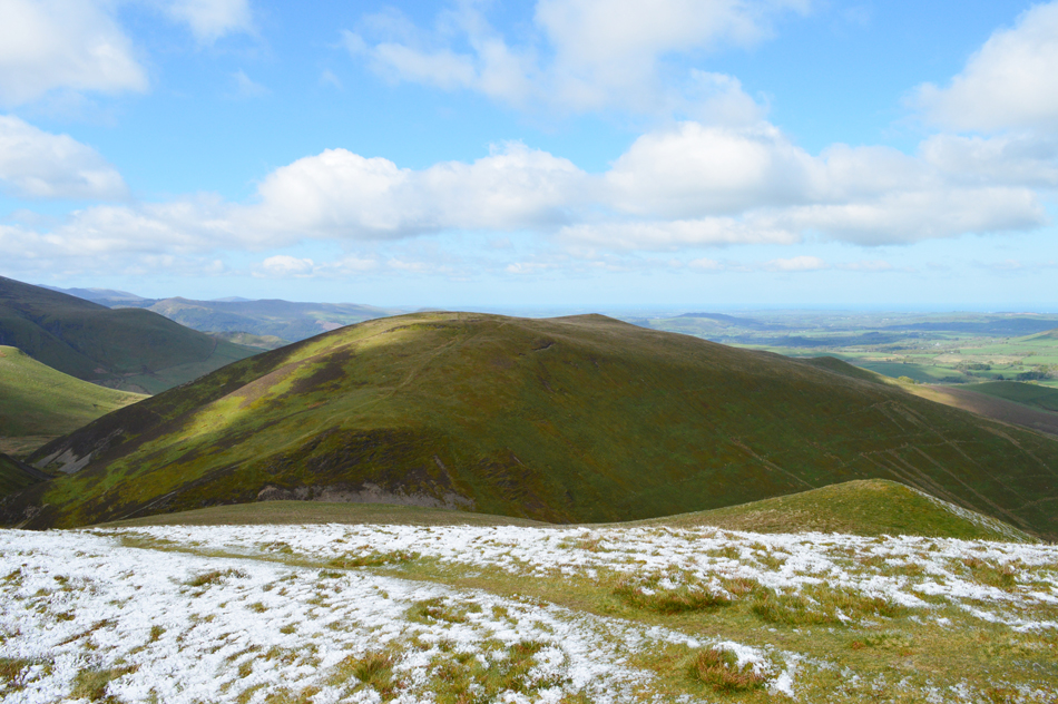
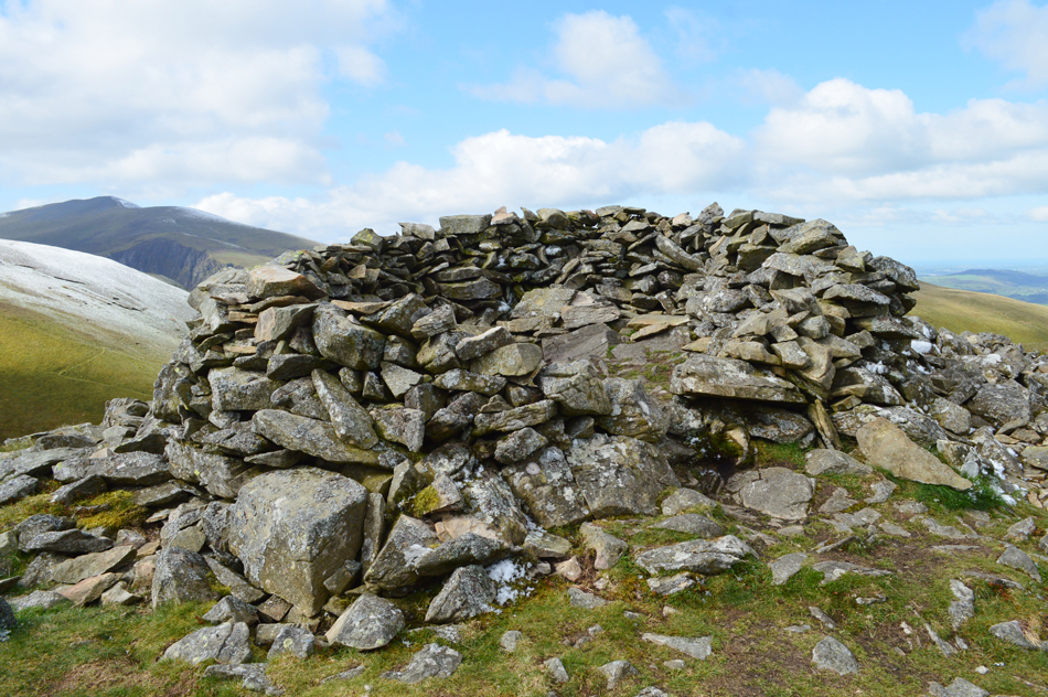
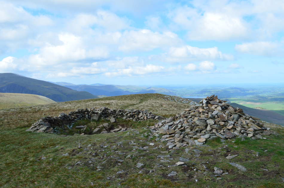
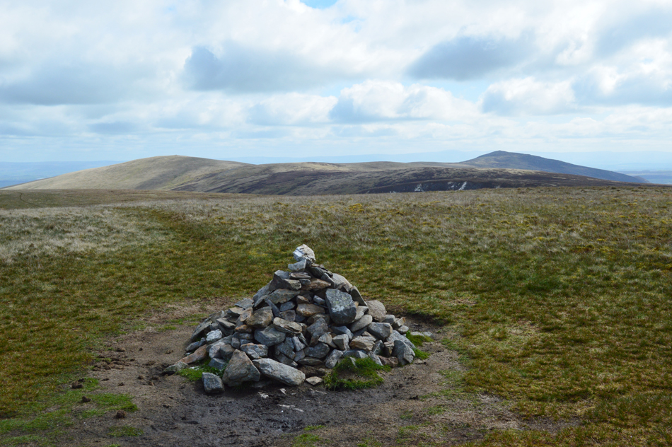
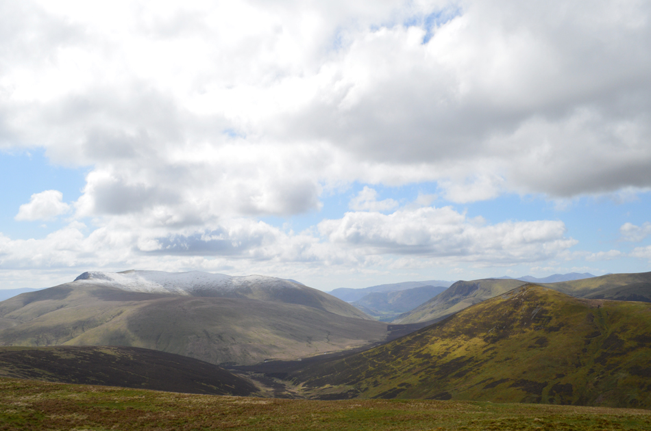
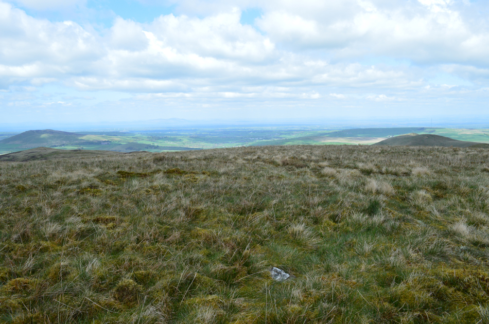
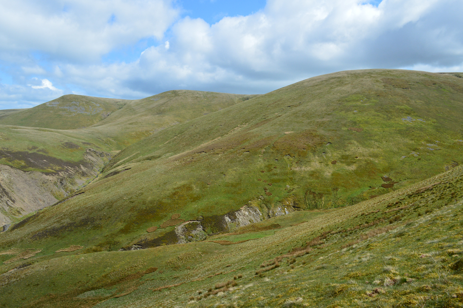
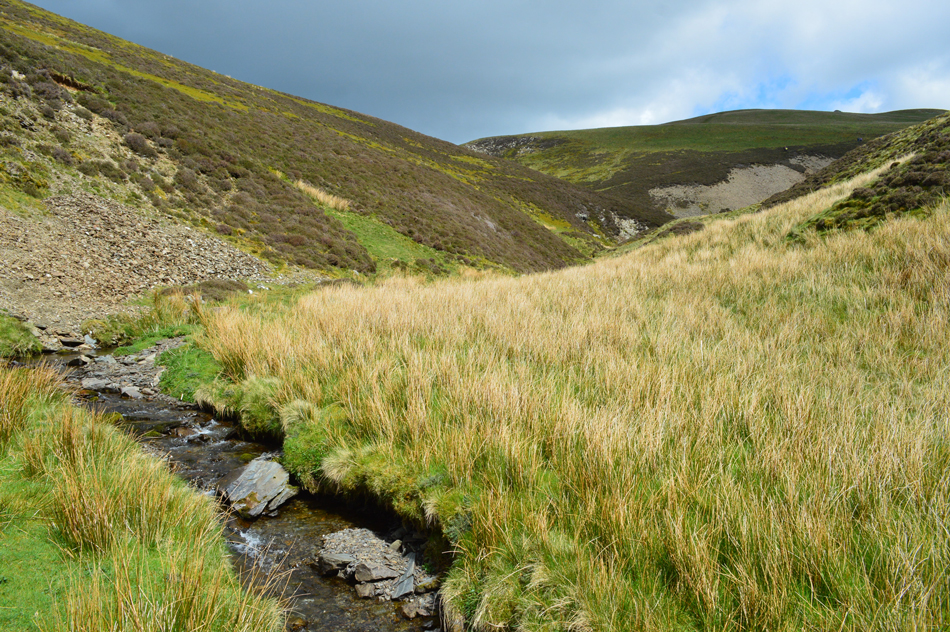
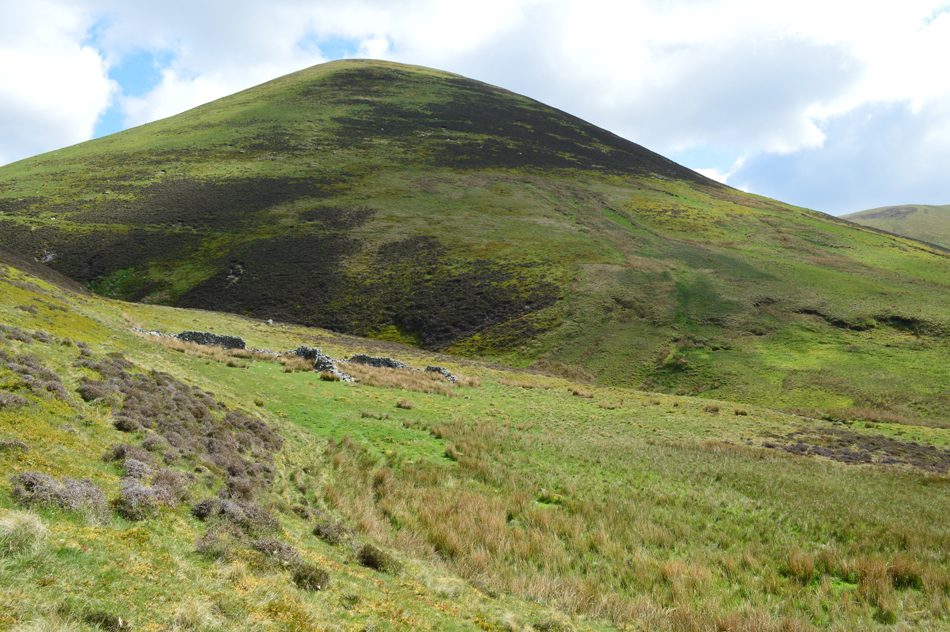
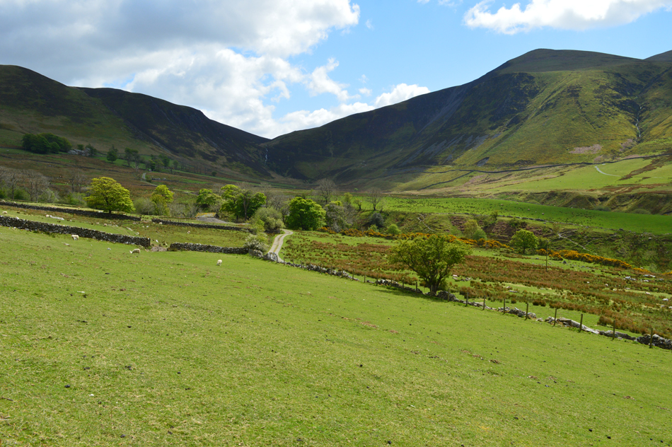
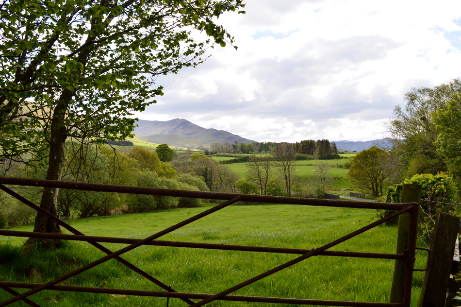
The going gets slightly easier as we ascend Little, then Great Sca Fell's after which it's the turn of Knott. From the summit of Knott we trace easterly over pathless ground and gain Frozen Fell which can feel a million miles from anywhere. Lastly we track a pathless route and gain Burn Tod from where we descend northwards via a series of zigzags and cross Burntod Gill with a clear through view Trusmadoor before following the course of Burntod Gill into the delights of the Dash Valley before returning to Peter House Farm under a warming mid afternoon sun.

 
The Complete Lakeland Fells
By Bill Birkett

- Orthwaite Bank

Pudding stone boulders worn smooth by sheep rubbing themselves litter the hillside.


Overview
Ascent: 2,190 Feet - 667 Metres
Birketts: 9, Orthwaite Bank - Little Cockup - Great Cockup - Meal Fell - Little Sca Fell - Great Sca Fell - Knott - Frozen Fell - Burn Todd
Weather: A Bright Start Turning Overcast, Some Brightness Returning Later In The Day. Freezing Above The Summits Highs of 10°C Lows of 3°C
Parking: Roadside Parking, Orthwaite
Area - Group: Northern / N/NOS
Miles: 8.8
Walking With: David Hall & Rod Hepplewhite
Ordnance Survey: OL5
Time Taken: 5 Hours 50 Minutes
Route: Peter House Farm - Horsemoor Hills - Orthwaite - Orthwaite Bank - Little Cockup - Great Cockup - Trusmadoor - Meal Fell - Little Sca Fell - Great Sca Fell - Knott - Frozen Fell - Burn Tod - Trusmadoor - Burntod Gill - Dash Valley - Horsemoor Hills - Orthwaite
 

Parking Details and Map
Nearest Post Code: CA12 4QX
Grid Reference: NY 249 032
Notes: There is room for up to seven cars just opposite Peter House Farm with the Cumbrian Way passing right by leaving excellent access to the Uldale and Back O'Skiddaw fells. The parking spaces can be found on the right hand side (if approaching from Bassenthwaite) with two metal gates which open out on to the Cumbrian Way. Parking is free.


Map and Photo Gallery


Looking back on the snow capped summits of Broad End (Skiddaw) and Longside as we head towards Orthwaite 08:15am 3°C

I had a genuine jaw dropping moment as I drove to the meeting point at Peter House Farm where it was clear that the north and north western fells had seen a dusting of snow overnight which even by Lakeland standards is quite unusual in May and despite the morning sunshine, the temperature here at valley level is only just above zero.

We had arranged to meet at 08:30am but we all turned up just after 8:00am which saw us lock our cars and head out towards Orthwaite a good twenty minutes before intended. When retracing the Birkett walks I tend to do them foot by foot but today we were unable to park at the limited parking spaces at Orthwaite so we decided on the much larger spaces back at Peter House Farm around a mile back up the road, this way all the three of us were guaranteed a parking spot and the mile walk to Orthwaite meant we could take in beautiful views such as these while giving the legs and lungs a warm up.


Orthwaite Bank appears as we approach Horsemoor Hills.
 

The view back after passing through Horsemoor Hills, this time with Bakestall and Cockup over on the far left.

Having passed our mornings to a local farmer who had stopped to talk to a woman who was taking her dogs for a walk we were then treated to a countryside chorus as we passed through Horsemoor Hills with lambs bleating, cows mooing which was topped off with the birds tweeting in the branches above our heads.

What a wonderful start to the walk.


The view over Barkbeth towards Broad End (Skiddaw) and the Ullock Pike ridge.

With Horsemoor Hills behind us we turned right onto the access track which was sign posted Burn Tod, this track also provides access to Dash Farm which we'll be walking the full length of during our return later.

After passing through a gate we immediately ascend left alongside a stone wall towards todays first summit of Orthwaite Bank.


Longlands Fell, Lowthwaite Fell and Little Cockup from Orthwaite Bank summit.

After a short but steady plod Orthwaite Bank was reached where we were treated to an icy wind, only Rod had foreseen this wearing a hat and gloves while David and I fought on thinking as the morning progresses the warmer it will get...it won't.

That's Little Cockup in the foreground over on the right which is where we're heading next.


Approaching Little Cockup.

Instead of taking a trackless path towards Little Cockup we continued along the ridge towards Great Cockup then traced left soon realising that we'd actually ascended too far, this was soon rectified with a little descent before crossing a faint footpath which I remembered seeing during our ascent but had put it down to being a sheep trod instead.


Binsey and Over Water from Little Cockup summit.
Where we received outstanding views as far as the Solway Firth.

A glimpse of Bassenthwaite from Little Cockup.
It's time to head for Great Cockup which we do by following a singular prominant path back on't to main ridge.

Bakestall, Dead Crags, Cockup, Broad End and Skiddaw from Great Cockup summit.

After rejoining the ridge we started the steady ascent on Great Cockup parts of which had also seen a dusting of snow. The light was starting to fade in and out and by now we were feeling the full effects of a bracing wind that caused me to down pack and finally succumb to hat and gloves.

From pleasant sunshine to full on windchill in just over 1,000ft...that's bonkers in May.


Descending towards Trusmadoor with views of Frozen Fell.
That's Meal Fell over on the left which we'll be ascending next while over on the right is Burn Tod and its infamous zigzags which we'll be descending later towards the end of the walk.

The view over Burn Tod Gill towards White Hause, Bakestall, Broad End and Skiddaw.
We descended Great Cockup and took in the delights of Trusmadoor before starting the steady ascent on Meal Fell.

Great Cockup (over Trusmadoor) from Meal Fell.
It was a quiet-ish ascent not helped by the windchill we were all feeling, that, and the shock of walking through snow in May when really we should be complaining about how hot it is!

Meal Fell summit shelter.
Soon we reached the summit plateau and we directed ourselves towards the summit shelter where we stopped to take a few photos and probably complain a bit more about how cold it was and that the grey cloud above our heads shouldn't have arrived until midday but as David quite rightly said "at least it's dry"

Little Sca Fell (L) and Great Sca Fell (R)
We found our way back onto the summit footpath and started the gentle descent over the grassy col towards our next two summits of Little Sca Fell and and Great Sca Fell. Birkett recommends to ascend via the footpath which snakes off to the left seen up ahead highlighted by a fresh covering of snow.

Frozen Fell.
Living up to its namesake this morning.

The view north towards Lowthwaite Fell and Longlands Fell.
The skies are certainly clearer towards the north where we take in the long distant view over the Solway Firth towards Criffle and the Scottish hills.

Looking back on Meal Fell, Great Cockup, Bakestall and Skiddaw from the ascent of Little Sca Fell.
With Frozen Fell and Burn Tod appearing over on the left.

Little Sca Fell summit cairn and shelter.
We took on the steady march towards Little Sca Fell and upon reaching the summit shoulder we spot two walkers heading for Great Sca Fell with two more approaching from the Brae Fell side. The skies are starting to fill with cloud, cloud which I have already mentioned which wasn't due to arrive until midday causing summit temperatures to plummet.

High Pike and Carrock Fell from Knott summit.

We left Little Sca Fell then summited Great Sca Fell where for some reason I didn't take a summit photo. By now the walkers we had seen on the Brae Fell side were standing on the summit of Little Sca Fell. We left Great Sca Fell under dreary skies and up ahead we spotted the first set of walkers we had seen earlier who then disappeared over the summit shoulder of Knott.

The area of ground between Great Sca Fell and Knott is known for its year round bogginess and today was no different although Rod did point out that during a trip here last month the ground was bone dry. With the summit cairn reached one of the first views we took in was the snow which had fallen on Blencathra's north facing slopes.


Blencathra, Mungrisdale Common, Longscale Fell and Great Calva from Knott.

It's my Birthday today and in my pack I have a bag full of chocolate coated flapjack pieces which I share out between us in the hope they would help to take the mind of the windchill!

I think it worked but the snurching noses I could do nothing about.


Lowthwaite Fell and Longlands Fell from Frozen Fell summit.
After scoffing our faces full of flapjack we left Knott summit and traced in a south westerly direction but possibly too far on my account after finding ourselves on the summit shoulder over looking the col between Knott and Great Calva. With Frozen Fell over to our right we left the path and began a pathless trod towards Frozen Fell summit where we found no cairn.

Burn Tod from Frozen Fell.
From the summit of Frozen Fell we trace southerly and crossed the head of the Gill soon finding a prominent path on the right flank of the hill side. Bearing in mind that there is no real path to speak of that leads directly towards the summit we keep on the right flank before making a pathless trod towards the summit.

Meal Fell lit up in sunshine.
With Trusmadoor seen towards the left and Frozen Fell to the right.

Icicles found on Burn Tod.
Yep it really is that cold.

Burn Tod summit.
After a few moments spent searching I found the summit cairn which was made up of no less than one stone, blink and you will miss it.

The view over Frozen Fell towards Little Sca Fell and Great Sca Fell.
I'm not quite sure how but in the little time the sun has been out it's melted the snow which has now completely disappeared, in fact as we approach midday it's starting to warm up slightly and stomachs are starting to remind us to put food in them.

Great Cockup and Meal Fell divided by the glorious micro valley that is Trusmadoor.

From the summit of Burn Tod we trace right again and Rod found the path we had left earlier, the ground is steep but the descent is made easier as we take in the zigzags while the warmth from a midday sun takes hold.

There appears to be a large group down there who no doubt have stopped for lunch.


Trusmadoor.
Jokes and hello's are shared as we pass through the group, we leave them with a friendly pre-warning that it's bitter on't tops and they might want to think about adding layers, especially the ones wearing short sleeves.

Frozen Fell from Burntod Gill.
With the group on their way up Meal Fell we walk along the banks of Burntod Gill some of which is as heavily corroded as I'd remembered from some years ago. By now, with a warming sun beating down we were on the look out for a place to sit and break out lunch.

A view of Burn Tod from our lunch spot (marked Bield on the map)
This'll do nicely.

Burn Tod before crossing Hause Gill.
As recommend by Birkett we kept to the valley basin by following a series of paths which avoided the boggy bits within the centre. To low to see Brockle Crag just yet we ascend slightly via a stone wall which we keep to the left before views open over Dash Valley and Brockle Crag which we don't ascend, instead pass below.

Bakestall, Cockup and Broad End (Skiddaw) as we pass below Brockle Crag.
 

Dash Valley with Dash Falls seen centre and Dead Crags (Bakestall) seen right.
What a place.

Dash Valley.
Those with a keen eye might be able to spot Dash Farm in the upper left of the picture.


The Ullock Pike ridge from Cassbeck Bridge.

The latter of our walk had been complimented by warm sunshine which was a far cry from the sub-zero temperatures we'd experienced on Little Sca Fell just a few hours earlier, with the delights of the Dash Valley behind us we followed the track back to Horsemoor Hills and began the mile walk back to Peter House Farm disturbed by just the odd car passing. As we approached the farm lambs and cattle in nearby fields once again disturb the silence which was drowned by the sound of a lawn mower from a nearby cottage.

It's not very often you can experience Lakeland in her prime during a Bank Holiday but you can, if you know where to look.


Back to top