Walking the Birketts, Blencathra

15th April 2019

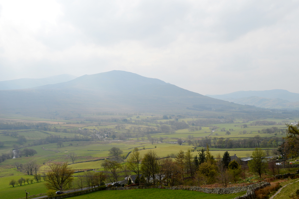
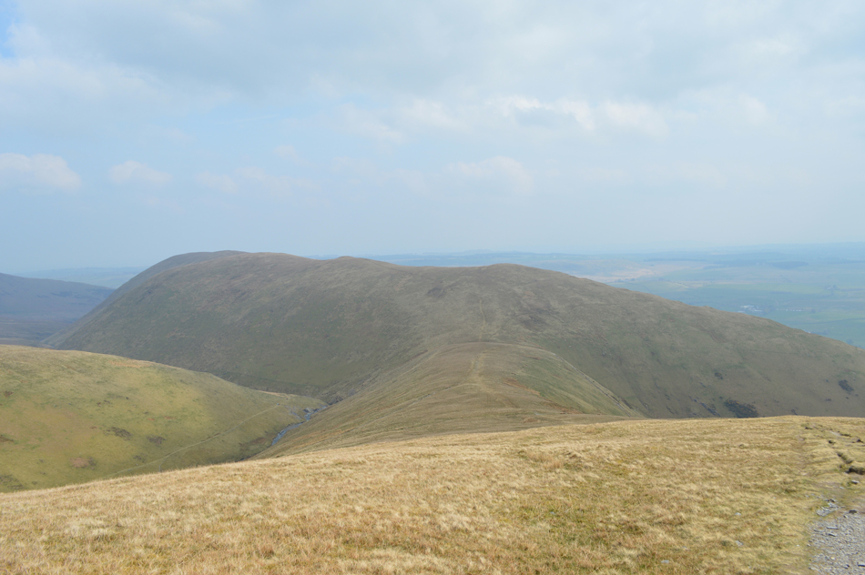
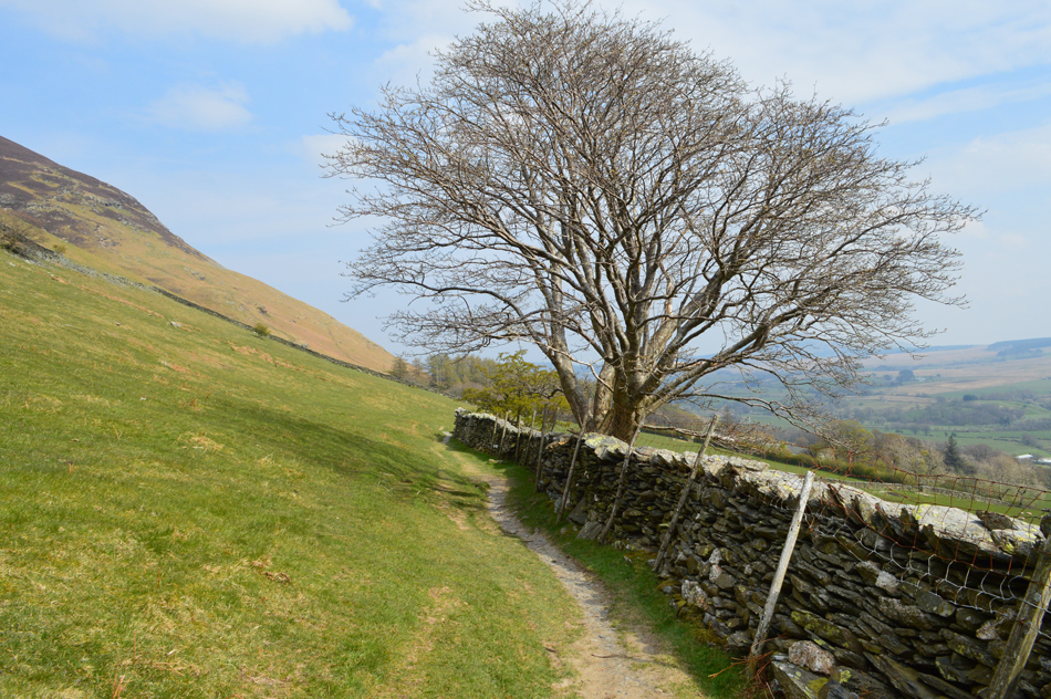
With a long weekend booked today I find myself back in Lakeland to follow Birketts footsteps while collecting five summits on the magical mountain that is Blencathra. I had a good forecast which suddenly changed at the last minute from a promise of sunshine to a rather dull but high cloud day, what the hey, the main thing is it stayed dry.

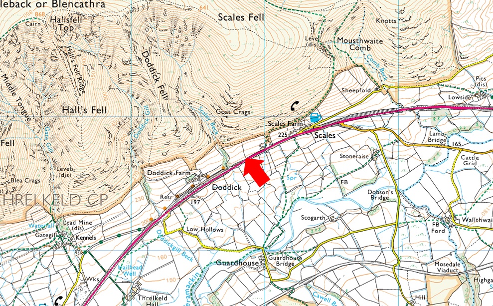
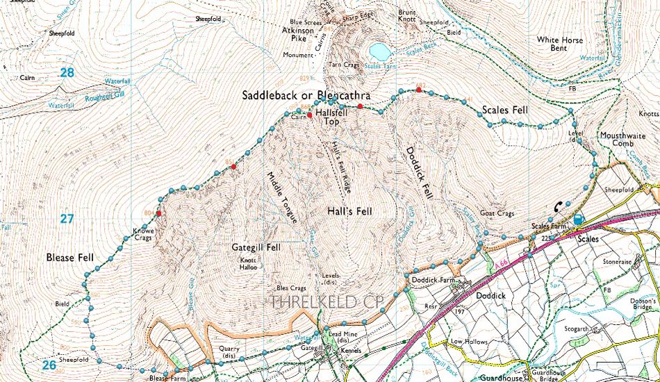
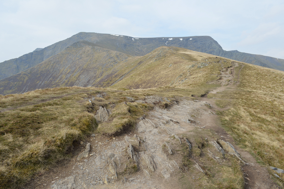
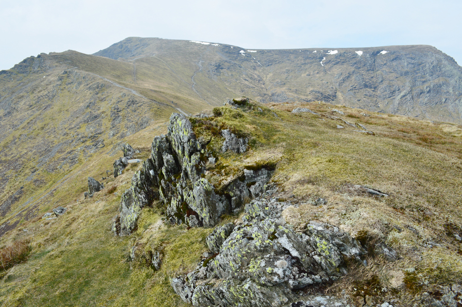
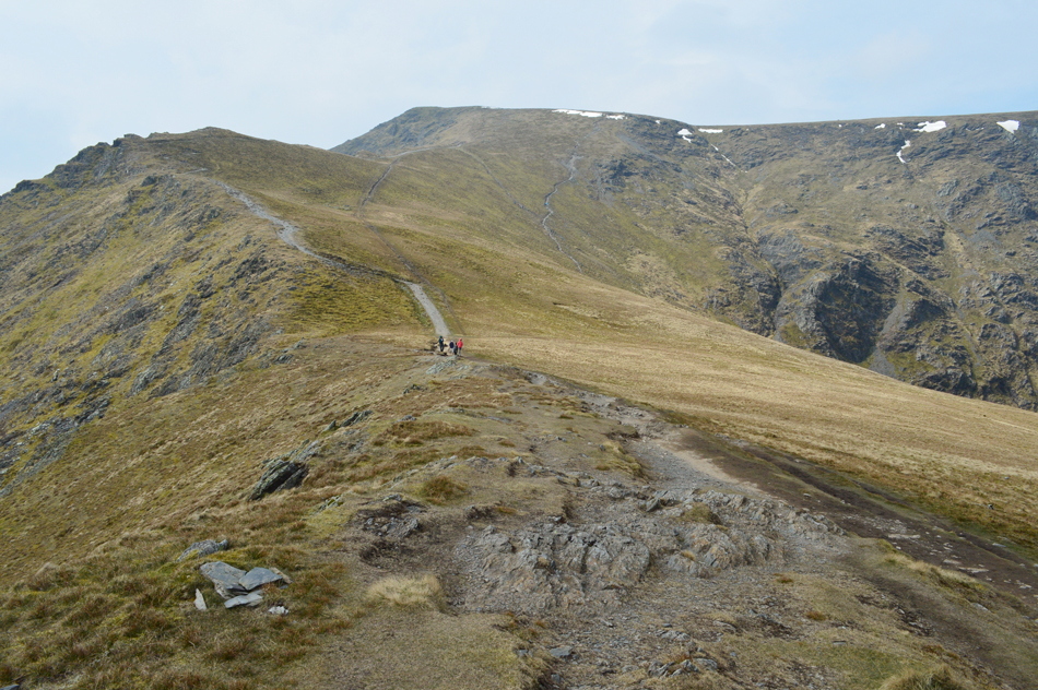
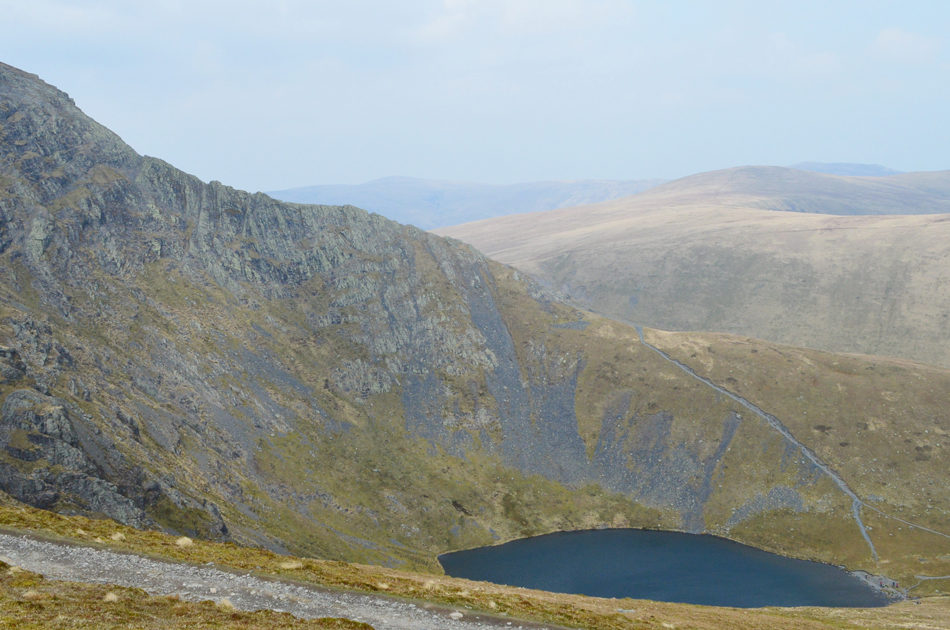
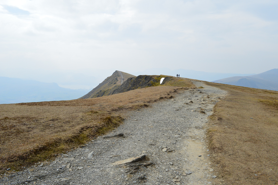
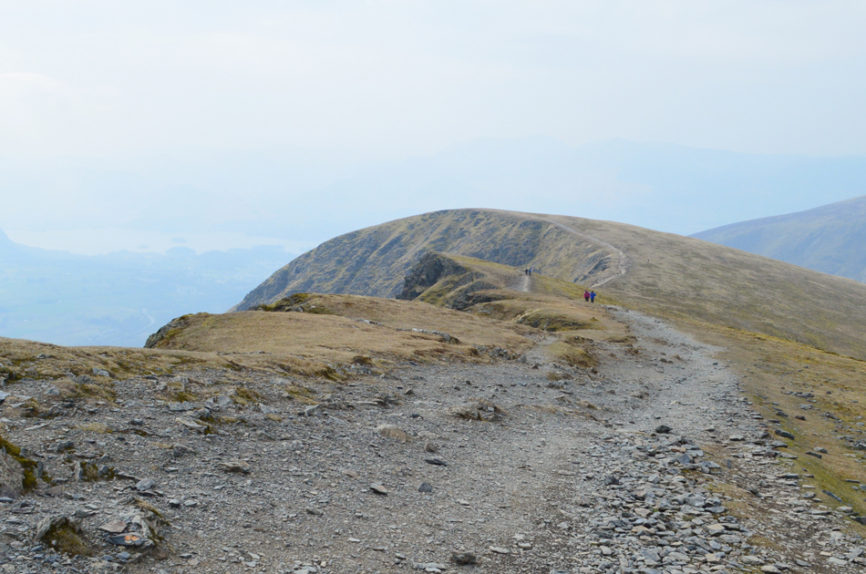
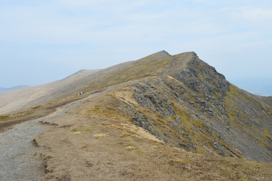
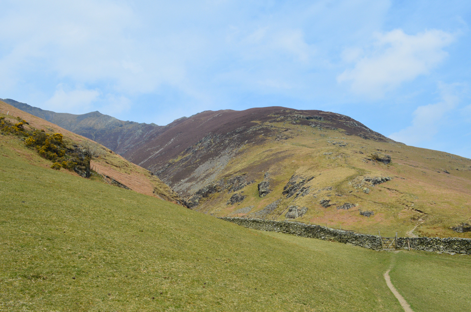
Todays walks starts from where else but Scales situated at the foot of Blencathra from where Scales Fell is summated via Mousthwaite Comb, continuing along the ridge line Doddick Fell Top is reached followed by Hallsfell Top, the true summit of Blencathra where today I did battle with the winds yet again and came away with a bloodied nose and a thick lip, It's getting to the point now where I'm struggling to think of the last walk I did which wasn't plagued by strong winds, today was no different.

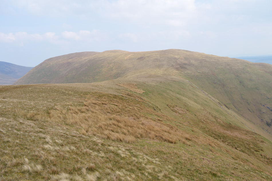
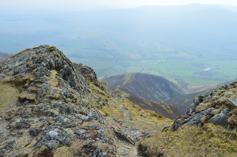
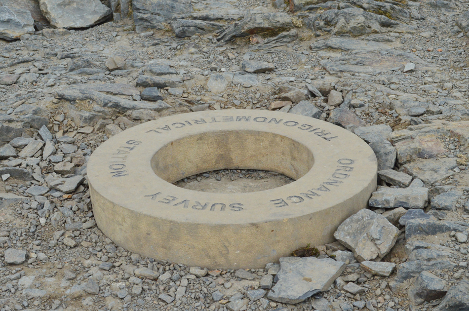
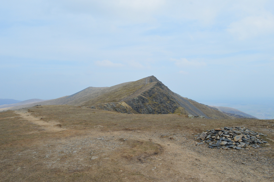
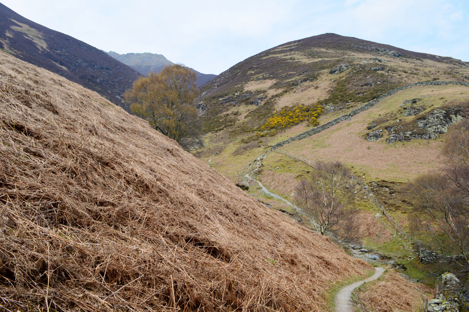
After spending time observing the new summit circular trig point I struggled on towards Gategill Fell Fell Top then Blease Fell came next by which time I'd had enough of the winds which were trying to toss me onto Mungrisdale Common. I left Blease Fell by following the ridge and started my descent before heading easterly in the direction of Blease Farm below, a route that was brand new to me before it brightend up for the last mile and half back to Scales, just typical eh.

 
The Complete Lakeland Fells
By Bill Birkett

-Blencathra

This route makes a grand tour of Blencathra's south face and includes all her tops.


Overview
Ascent: 2,295 Feet - 700 Metres
Birketts: 5, Scales Fell - Doddick Fell Top - Hallsfell Top (Blencathra) - Gategill Fell Top - Blease Fell
Weather: A Mostly Overcast Day, Some Sunshine Towards The Latter Of The Walk. Strong Winds Over The Summits. Highs of 13°C Lows of 10°C
Parking: Parking Spaces, A66, Scales
Area - Group: Northern - N/BLE
Miles: 6
Walking With: On My Own
Ordnance Survey: OL4
Time Taken: 3 Hours 10 Minutes
Route: A66 - Scales Fell - Doddick Fell Top - Hallsfell Top (Blencathra) - Gategill Fell Top - Blease Fell - Gate Gill - Doddick Gill - Scaley Beck - A66
 

Parking Details and Map
Nearest Post Code: CA12 4SY
Grid Reference: NY 343 126
Notes: A popular layby which gives access to the ever so popular Blencathra. The layby is found at Scales opposite the White Horse Inn on the A66. Due to the popularity of Blencathra during peak seasons the layby can fill up quite quickly, there is room for around six to eight well parked cars. Parking is free.


Map and Photo Gallery


Clough Head, White Pike and Great Dodd from Scales 11:30am 9°C
Due to a car accident on the M6 south of Preston it had taken me nearly two and half hours to reach Scales this morning but thankfully I had no trouble parking at the lay-by opposite the White Horse Inn. From the lay-by I could see the hillside was busy with one large group on the footpath just behind the pub and another further up ahead. I crossed the busy A66 and picked up the footpath behind the cottage just a short distance down the road.

Souther Fell from Mousthwaite Comb.

The large group I had spotted were still on the path by the time I drew up to the intake wall so I let the gate go with a bit of a thud just to let the group know I was behind them. One by one as I approached members of the group kindly stepped aside to let me pass and I was able to walk at my normal speed until I reached the second group who all stepped aside with hi's and hello's. The fell side is pretty busy with more couples up ahead on the newly constructed path which by-passes the Mousthwaite Comb approach, this was good news for me.

The higher I climbed the windier it got and any mildness in the air was soon replaced by a cold windchill which again caused my eyes and nose to stream, it's by far a sunny day but I added my sunglasses on anyway if only to stop my eyes from streaming. I watched a solo walker leave the top of Mousthwaite col who then slowly made their way onto the shoulder of Souther Fell until they got smaller and smaller once the summit was reached. I to was climbing steadily along the east shoulder of Scales Fell with no one else in sight, for now anyway.


Looking back over Mousthwaite Col towards Souther Fell.
That's White Horse Bent over on the left with the River Glenderamackin seen winding its way into Bannerdale.

Scales Fell, Doddick Fell Top, Hallsfell Top (Blencathra summit) Atkinson Pike and Sharp Edge.

With the shoulder of Scales Fell reached I somehow had managed to gain ground on the couples I had seen earlier who by now were playfully leaning into the wind with their arms aloft.

I would predict that the winds leading up to Scales Fell summit were somewhere between 30-40mph, the noise was deafening and walking in a straight line was made arduous so best I keep well away from the edges.


Doddick Fell Top and Hallsfell Top (Blencathra summit) from Scales Fell summit.
To reach Doddick Fell Top requires the use of the zigzag path you can see in the upper left of the photo.

Onwards and upwards.
...and sideways.

Sharp Edge above Scales Tarn.
Thankfuly there were no takers on Sharp Edge today, note how peaceful Scales Tarn appears down below which seems to be sheltered from the high winds.

The view down Doddick Fell ridge taken close to Doddick Fell Top summit.
 

The new summit ring Hallsfell Top (Blencathra)

I left the summit of Doddick Fell Top and gained the summit of Blencathra via a second set of zigzags found just below the summit which I traversed in what felt like no time at all with quite a bit of help from the wind, which was now propelling me onwards and upwards.

On reaching the summit plateau the wind took on a whole new strength where I witnessed a young girl crawling on her hands and knees while her friend was bent double but still walking forward of a fashion, whilst passing I checked if they were ok with a simple thumbs up and got one back. I reached the summit trig and knew my time here would be extremely limited and to be honest if I hadn't taken this one image I'd happily have walked on without taking any at all.

The force from the wind by now was brutal causing exposed skin to sting. I'd made the school boy error in not adding gloves prior to reaching the summit and I was now paying the price. It wasn't an option to stop and down pack knowing that within ten minutes or so I should be out of the worse of it so I persevered sometimes forward and sometimes sideways towards my next summit of Gategill Fell Top.


Clough Head and the Dodds from Blencathra summit.
If anyone is wondering why some pockets of snow haven't thawed yet that would be down to the summit temperatures which is around -11°C at this altitude although by the end of next week things will start to hot up meaning this snow might be the last I'll see until next Winter,

Making my way towards Gategill Fell Top.
 

Blease Fell comes into view with Gategill Fell Top in the foreground.
 

Here I stop to look back along the Saddle.
A group can be seen snuggled together eating lunch while I danced sideways as I went by, I could only assume they have found a pocket not affected by the summit winds, lucky buggers!!

Hallsfell Top (Blencathra) from Blease Fell summit.
There was no time to hang around here either so after taking this photo I continued along the summit and started my descent and with each step the temperature seemed to rise and although the winds didn't ease in terms of strength I was starting to leave the windchill behind.

The view into Blease Gill, Knott Halloo and Gategill Fell.
It didn't take long for conditions to start to feel normal again at which point I could safely think about taking photos again. Here is a view of Blease Gill I have never had the pleasure of viewing before due to never walking this section of path which was recommend by Birkett as todays descent route.

Feeling the sunshine.
As I walk towards Blease Gill.

Crossing Blease Gill.
With Blease Fell seen left and Knott Halloo on the right.

Just like the sign says.
I head towards Gate Ghyll next...or should that be Gate Gill?


The Hall's Fell Ridge with Hallsfell Top (Blencathra) seen far left.
After passing through the gate I cross Gate Gill and decide to break for lunch while I walk. Continuing ahead in the pleasant sunshine I cross Doddick Gill where I came across a couple enjoying a picnic and hi's from afar are exchanged.

Further ahead it's time to cross Scaley Beck next.
Followed by the steep haul alongside the stone wall on the t'other side of Scaley Beck.


Scales Cottage daffodils.
With Doddick Gill behind me all what was left was to descend the stone slabs alongside Scaley Beck which I do with care while being watched by two walkers below. Scaley Beck is then crossed followed by an easy scramble before continuing along the path as the roof tops of Scales Farm appeared in distance. The gate which I had let go with a thud just three hours earlier is passed through before stopping to take a picture of the daffodils growing in a orchard behind Scales Cottage, all the while my mind struggles to comprehend how Spring like it is in the valleys while just over two thousand feet above my head the grip of Winter is still domineering the Lakeland summits.


Back to top