Walking the Birketts, Around The Cawdale Horseshoe to Loadpot Hill

25th February 2019

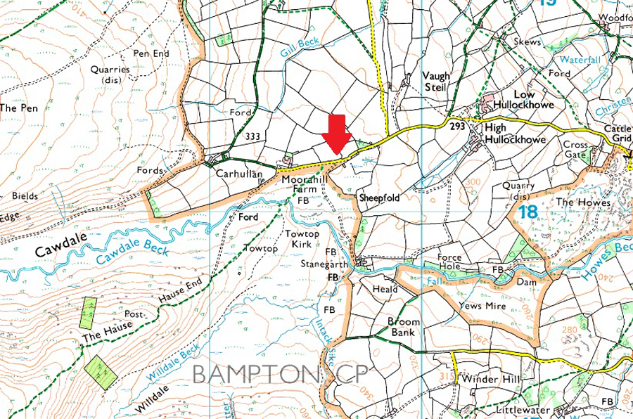
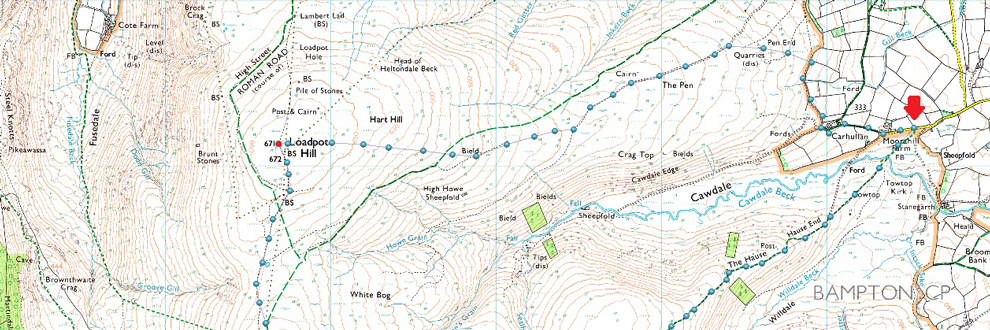
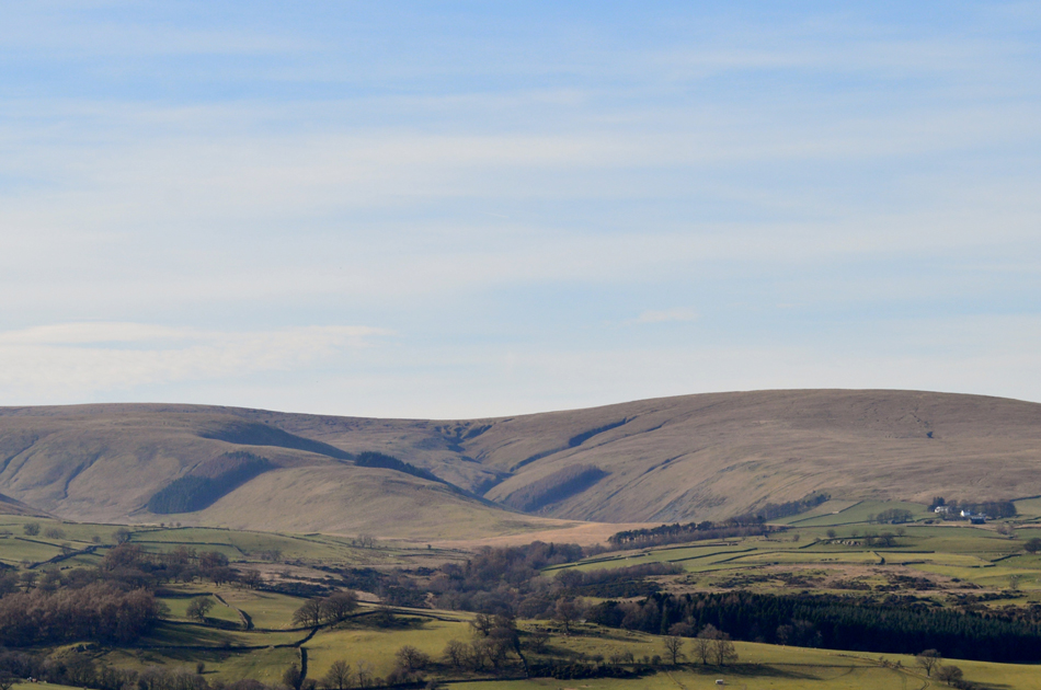
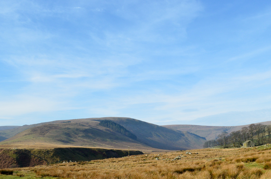
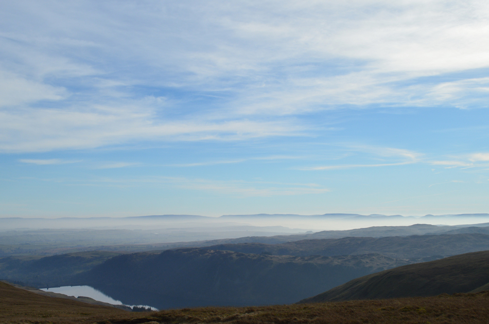
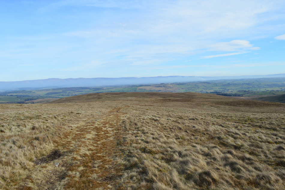
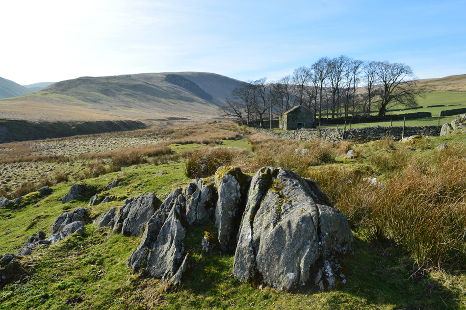
What a day to book a day off work with the unseasonal high temperatures continuing, todays walks see's me in the far east of Lakeland taking in Birketts Cawdale Horseshoe. These are exceptionally lonely fells more so during the week when all the crowds have gone home which is one of the reasons why I choose to walk this route midweek just so I could soak up the solitude that I often crave for. Cawdale lies between Bampton and Heltondale and time has done little to change this valley, accessibility is still the same as it was in bygone times with just one narrow road in, and one out. At the head of Cawdale is Wetner Hill, this alternative aspect of the popular Wainwright summit was enough to visit Cawdale alone, I thought so anyway.

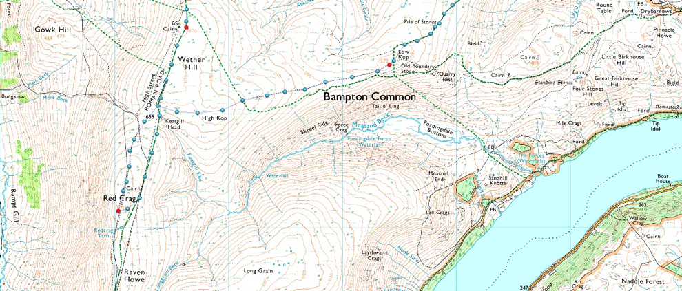
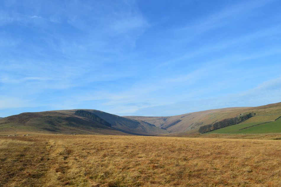
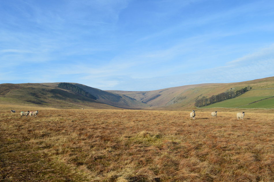
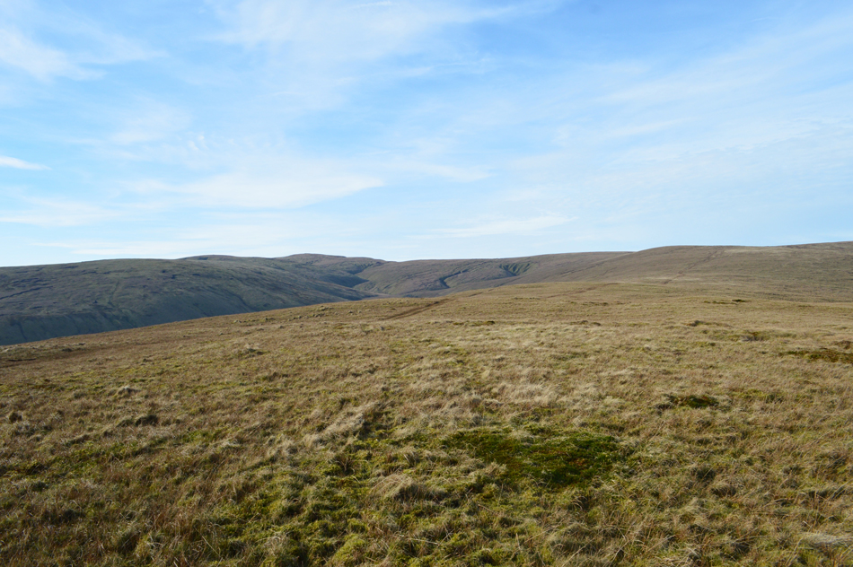
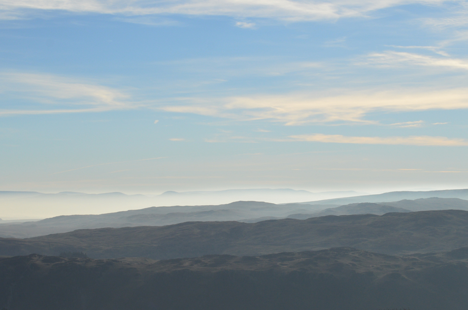
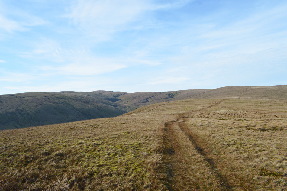
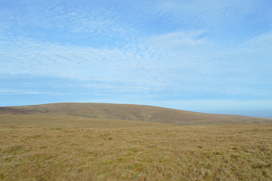
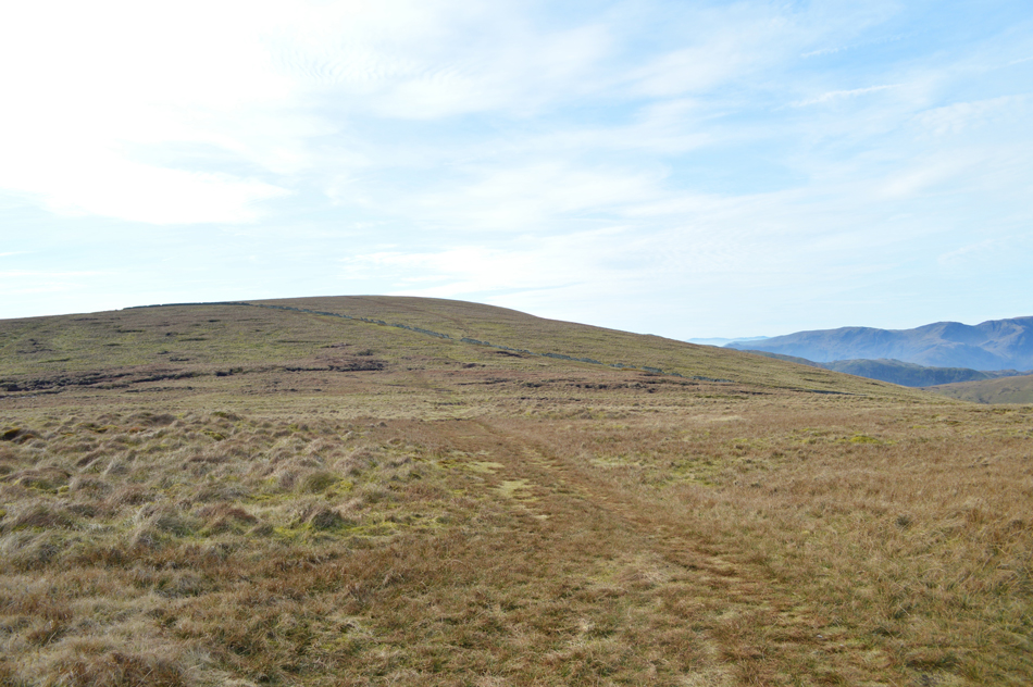
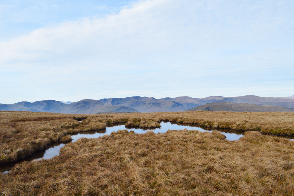
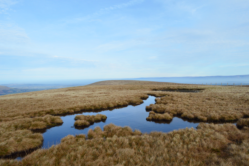
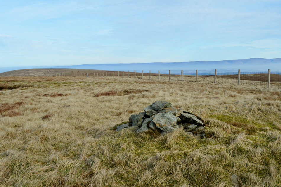
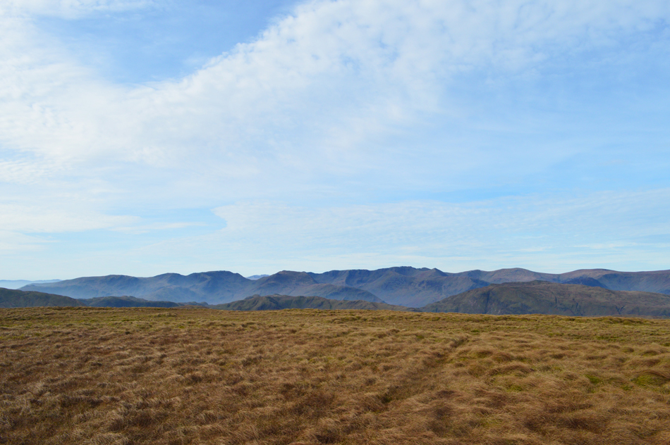
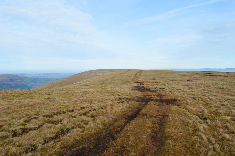
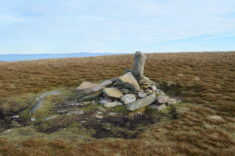
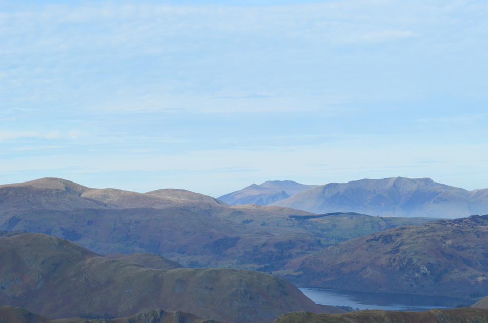
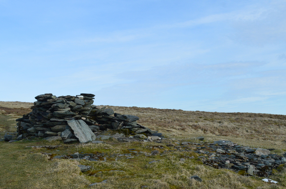
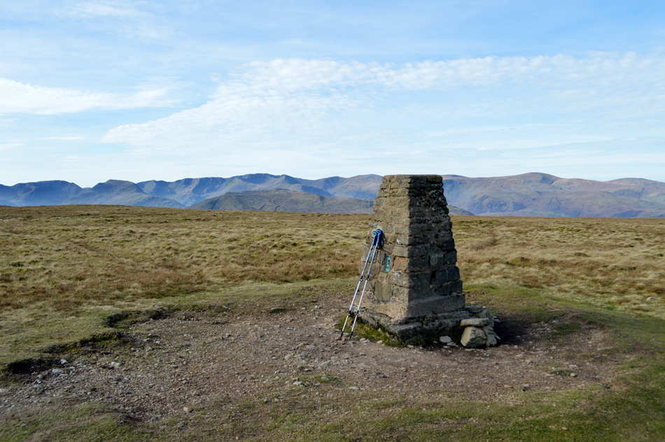
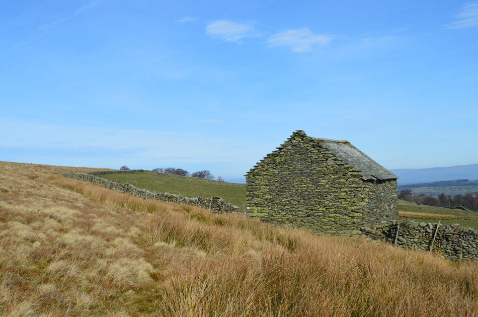
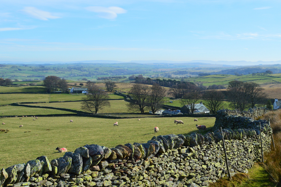
After crossing Cawdale Beck Low Kop is gained via The Hause, a distinctive narrowing of the ridge distinguished by woodland either side. Haweswater can now be seen in particular the Dam wall below the Naddle Fells. Continuing from Low Kop the parent summit of High Kop is gained as views unfold over Keasgill Head with Red Crag beyond. Red Crag is next which is easily gained before returning to the top of Keasgill Head before the gentle ease on Wether Hill, the head of the Cawdale valley. Loadpot Hill is next gained by following the High Street Roman Road passing the remains of the Lowther Chimney, a former shooting lodge. Due east from Loadpot Hill is Hart Hill from where the Pennines command the horizon before the ground underfoot levels as The Pen is reached as views open out northwards over Heltendale towards Heughscar Hill before arriving back Moorahill Farm.

 
The Complete Lakeland Fells
By Bill Birkett

-Loadpot Hill

On the summit plateau fell ponies can usually be found grazing. The paths leads past a boundary stone to the stone trig point and top of Loadpot Hill. This extensive yet flat summit is relatively featureless, It is easy to lose direction in poor visibility.


Overview
Ascent: 1,571 Feet - 479 Metres
Birketts: 4, Low Kop - Red Crag - Wether Hill - Loadpot Hill
Visiting: High Kop
Weather: A Bright Start Tuning Overcast At Times. Some Brightness Returning For The Latter Of The Walk. Highs of 18°C Lows of 9°C
Parking: Limited Roadside Parking, Moorahill Farm, Cawdale
Area - Group: Far Eastern - E/LOA
Miles: 9
Walking With: On My Own
Ordnance Survey: OL5
Time Taken: 3 Hours 45 Minutes
Route: Mooreahill Farm - Cawdale Beck - Low Kop - High Kop - Red Crag - Wether Hill - Loadpot Hill - Hart Hill - The Pen - Pen End - Moorahill Farm
 

Parking Details and Map for Limited Parking Spaces, Mooreahill Farm Cawdale
Nearest Post Code: CA10 2QL
Grid Reference: NY 493 182
Notes: There is limited parking at Moorahill Farm. Opposite the farm is a small patch of land which appears as limited off road parking, however the farmer has used this land to stock pile gravel possibly because of inconsiderate drivers who would block the farmyard entrance opposite. During my visit I parked approximately sixty yards further down the road on a large patch of grass, it hadn't rained for days and the grass was dry although there was evidence of cattle hoofs which leads me to believe I may have been wrongly parked. My advice is to ask if unsure.


Map and Photo Gallery


Cawdale seen from just outside Rossgill.
 

The Hause with Low Kop and Wether Hill beyond 09:15 9°C
Driving north during the week is always that bit more slower due to the heavier traffic but it was worth it knowing that today I probably wouldn't see a soul after leaving my car. It's a glorious morning feeling very mild and there was no need to add any more layers on top of my T-shirt base layer, bonkers for February I know. That's Cawdale Beck flowing through the gorge in the foreground where I found it paid to do my homework after finding that the footbridge over the beck isn't actually on the path, it's all there on the map even if it does result in some head scratching. You might be able to make out a path climbing out of the gorge seen lower left which illustrates the location of the footbridge.

The Clapper Bridge over Cawdale Beck.
 

The magnificent Cawdale Valley.
I can imagine this place feeling very bleak in the clag but today I am in my element.

Another image of Cawdale and some sheep.
I first counted 6

Then from out of nowhere.
21

Then ?!?!
Within minutes I was surrounded and quite intimidated by a flock of Scottish Blackface sheep who ran from all over the hillside then proceeded to follow me to within a couple of feet, the reason why, it's lambing season and at this time of year sheep are very protective...hint taken!

A long distance view of The Pennines with mist still clinging on in the valleys below.
Seen here after passing through The Hause.

A gentle wind is blowing, the sun is warm and the Lap Wings are singing.
For anyone who truly knows me will know that I love to spend my time on Lakelands ridges but its this type of terrain found in the most remote areas of Lakeland that I really go for, this morning my senses are flowing at full throttle.

High Raise (Martindale) Low Raise and Keasgill Head from Low Kop.
I continued to follow the path which obscured many a gentle false summit up ahead. With the last false summit behind me Low Kop was then easily gained where I found no summit cairn.

Mist and valleys.
 

Continuing towards High Kop.
 

That's Loadpot Hill seen over the head of Cawdale.
As the slope eases towards the right Hart Hill comes into view.

Don't forget to look back.
Or the view over Haweswater can be easily missed.

Peat profiling on White Bog/East flank of Wether Hill.
I was able to see the diggers from Low Kop but thought they couldn't be working because it was so quiet, it was only as I got closer did I realise that they were in fact working just very quietly which left me wondering were these hybrid or even electric diggers.

Red Crag comes into view.
 

The Eastern Fells from Red Crag summit.
After negotiating the peat hollows over Keasgill Head I passed through the wall at the col and began to climb the short distance to reach Red Crag summit. I'm really fond of Red Crag which can be commonly missed along the High Street Roman Road but it pays to hop over the fence as Birkett suggested to take in this wonderful view of the eastern fells.

Wetner Hill from Red Crag summit.
Which is where I'm heading next.

Red Crag summit cairn.
By eck who's turned the lights out.


Wether Hill from Wether Hill subsidiary summit
 

Wether Hill summit cairn.
Complete with its very own standing stone.

A long distant view towards Randerside, Great Dodd, Clough Head, Blencathra and Skiddaw.
That's Ullswater below but you didn't need me to tell you that.

The Lowther Chimney.
All that's left of the Shooting Lodge that used to stand here, it's starting to resemble a shelter rather than the grand stone chimney it once was.

My walking poles posing by Loadpot Hill Trig Point.
I'm still finding it hard to believe that not only is the temperature climbing towards the high teens but there is no snow on the fells in February! Bloody bonkers.

Descending Hart Hill.
From Loadpot Hill a prominent singular track traces eastwards over Hart Hill, I do this while being accompanied by squabbling Lap Wings whilst eating and lunch on the go.

After descending Pen End I arrived at this stone wall.
Which lead me back to Carhullan Self Catering Holiday Cottages.

Carhullen Cottages seen with Moorahill Farm in the distance.
 

Cawdale.
From the stone wall I head right towards Carhullen Cottages and pass through a gate then between two barns, in the courtyard a family are packing gear into the back of their car as I walk by undisturbed. Following the stone walled lane I arrive at Moorahill Farm which was one of the most well kept Farms I've had the pleasure of laying my eyes on despite being barked at by three of its four legged occupants. My car is in sight just down the lane its windows glistening in the afternoon sunlight as I glance back into the valley while not wanting to come to terms that this fabulous walk was almost over.

Spring has sprung.


Back to top