|
Bonscale Pike and Arthur's Pike via the Ullswater Way |
 |
 |
9th February 2019 |
 |
|
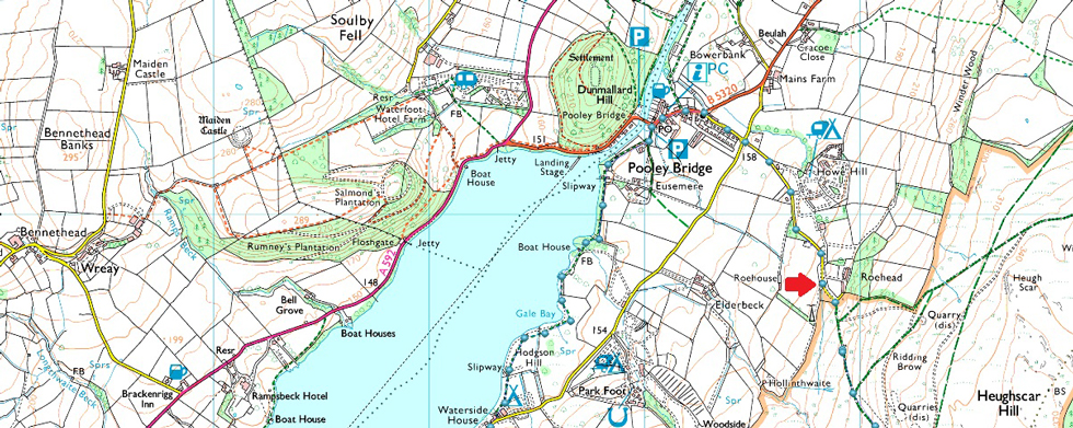
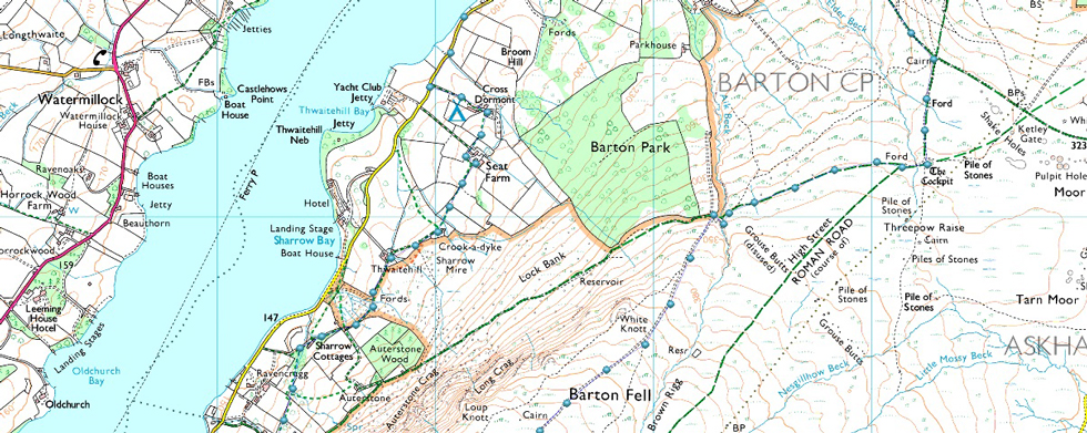
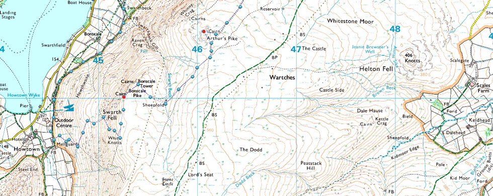
We weren't going to let Storm Erik get in the way of getting out this weekend so we planned to walk the route Rod and David had planned last weekend before I kidnapped them both for my Skiddaw walk. This was a route that Rod had seen in Trail Magazine part of which follows the east shoreline of Ullswater through newly accessed paths opened especially for the Ullswater Way which is a walk that circumnavigates around the whole of Ullswater covering a distance of 20 miles. Today we won't be touching anything like that as we head to Howtown from our starting point at Roehead.
From Roehead we'll head back into Pooley Bridge before picking up the east shoreline while passing through Waterside Campsite where we were at the full mercy of Storm Erik. The route took us through uncharted territory passing through many a farmsteads below Arthur's Pike and Bonscale Pike before the grandest of views opened out into Swarthbeck Gill. We continue south until Howtown and Mellgaurds are reached then paused before the steep pull onto Bonscale Pike all the while being buffered by winds which reached in excess of 50mph at which point the sun broke out, here's how we got on. |
|
| Wainwright Guide Book Two |
 |
| The Far Eastern Fells |
-Bonscale Pike Rising steeply behind the little hamlet of Howtown is a broad buttress of the High Street range, Swarth Fell. |
 |
|
|
|
| |
|
Overview |
|
|
| Ascent: |
1,659 Feet - 506 Metres |
| Wainwrights: |
2, Bonscale Pike - Arthur's Pike |
| Weather: |
Wintery Showers With 40mph Plus Winds AM, Easing With Some Brightness PM. Highs of 8°C Lows of 6°C |
| Parking: |
Roadside Parking, Roe Head Lane, Roehead |
| Area: |
Eastern |
| Miles: |
9 |
| Walking With: |
David Hall & Rod Hepplewhite |
| Ordnance Survey: |
OL5 |
| Time Taken: |
4 Hours 35 Minutes |
| Route: |
Roehead - Pooley Bridge - Ullswater Way - Cross Dormont - Seat Farm - Crook-a-dyke - Thwaitehill - Sharrow Cottages - Swarthbeck - Above Howtown - Bonscale Pike - Swarth Beck - Arthur's Pike - Barton Fell - The Cockpit - Roehead |
|
| |
|
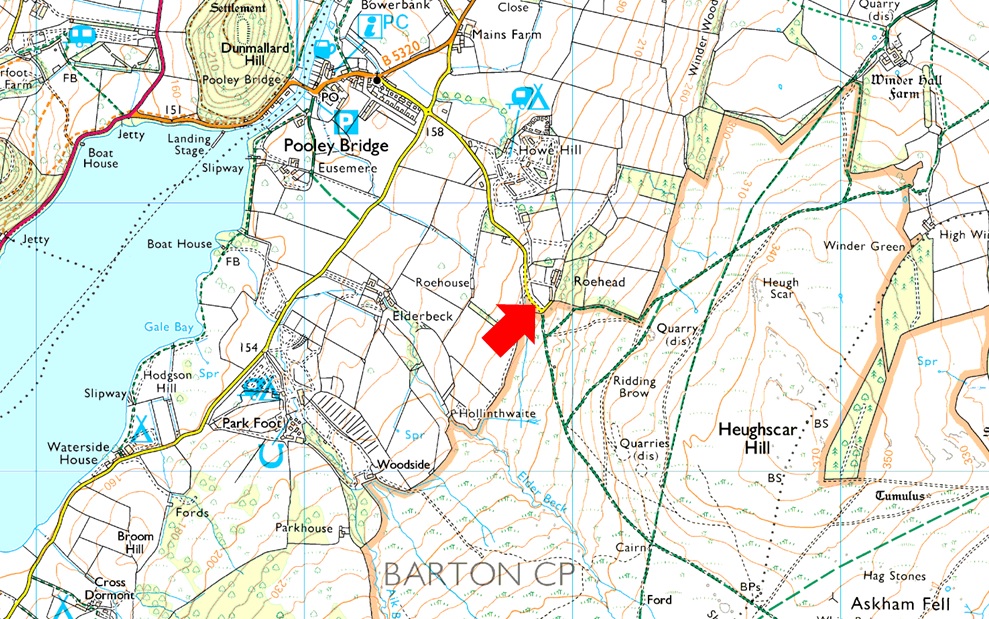
Parking Details and Map for Roe Head Lane, Roehead |
|
|
| Nearest Post Code: |
CA10 2LT |
| Grid Reference: |
NY 478 523 |
| Notes: |
There is roadside parking at Roehead just outside Pooley Bridge with room to park up to ten cars. This is a really popular spot to start a walk with Arthur's Pike and Heughscar Hill close by. Finding Roehead is pretty much straight forward just head straight through Pooley Bridge, slight right at the Church until you arrive at a T Junction, head straight on for about half a mile before arriving at the Roehead. Parking is free. |
|
| |
|
Map and Photo Gallery |
|
|
 |
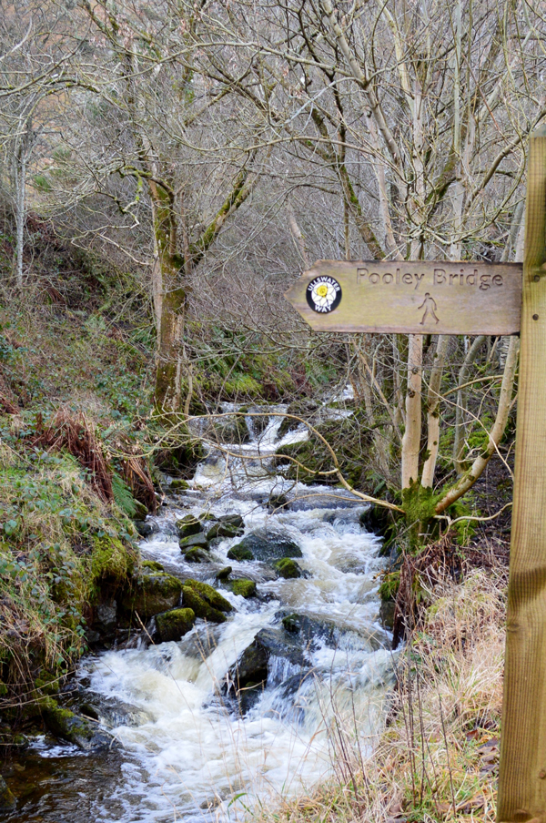
| Passing through Pooley Bridge 09:10am 6°C |
We had arranged to meet at Roehead at 09:00am and I was the first to arrive parking easily behind a couples Range Rover who had just set off up the track. The wind was blowing a right hooley howling through the trees behind the cottage at the top of the lane while rain showers passed in waves as I looked out towards Arthur's Pike in the distance. Rod arrived next and after a quick Hi through the car window we decided to kit up inside the cars agreeing to add our overtrousers from the off. David arrived next by which time the showers had passed and we was all but ready for the off. There was no doubt about it todays walk was going to be wet, wild and very windy.
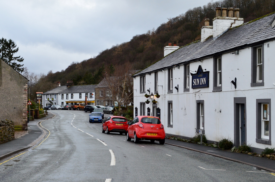
We left Roehead wintered up to the nines and started to walk back towards Pooley Bridge while kicking debris and fallen branches to the side of the road and we wern't surprised to find we hadn't been passed by any traffic in the time it took us to reach the crossroads at the bottom of Roe Head Lane. Pooley Bridge was as deserted as it looked and we were able to walk along the centre of the road all the way through the village passing a worker at the Pooley Bridge Inn who was sweeping up outside. Pooley Bridge will always bring back fond memories of the Summers I spent here camping as we share which pub we thought served the best food, for me it was the Sun Inn seen here on the right. |
 |
| White horses whipped up by Storm Erik on Ullswater. |
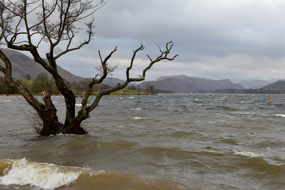
We passed through Pooley Bridge then turned left at the traffic lights just prior to reaching the temporary Pooley Bridge which I'm lead to believe will be replaced this year after the original stone bridge was taken out by Storm Desmond back in December 2015, the work isexpected to start around October after the peak season is due to finish.
The water level was as expected high with the swell easily reaching the footpath which was overcome by wave after wave. At this point, and so early into our walk we're at the full mercy of Storm Erik where we weren't only drenched by the spray coming off Ullswater but often knocked sideways by the fierce winds, it wasn't spoken of at the time but the last thing going through our minds at this point was reaching the summit of Bonscale Pike. |
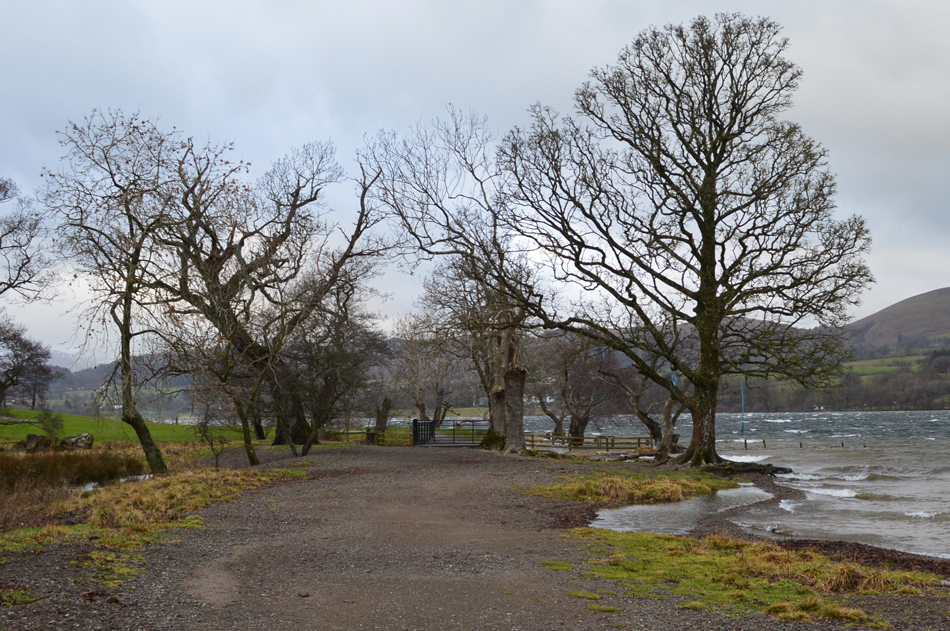 |
| Entering Waterfoot Campsite on the east shore of Ullswater. |
| We followed what what we could see of the boardwalk prior to reaching Waterfoot most of which was below a foot of water as the waves lapped at our ankles at which point already our waterproof overtrousers had already been put to good use so early into the walk, only Rod reported water entering the top of his boot but it was minimal and was shrugged off as quickly as the sentence left his mouth. |
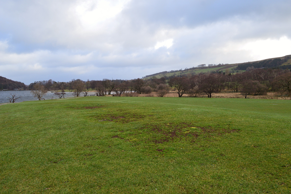 |
| Passing through Waterside Campsite. |
We had left the waterlogged boardwalks behind and entered Waterside Campsite, a place, which holds special memories for you see at exactly this spot my fell walking carerer began back in the Summer of 2005/06 while gazing aloft at the hills and mountains which surrounds Ullswater. It's been a while since I last camped here but you can see the bare grass where the tents would pitch up on which included my old Vango four man tent. During the Summer the only way to walk through this field was by hopping over tent ropes while trying not to spill your beer!
Good times and fond memories. |
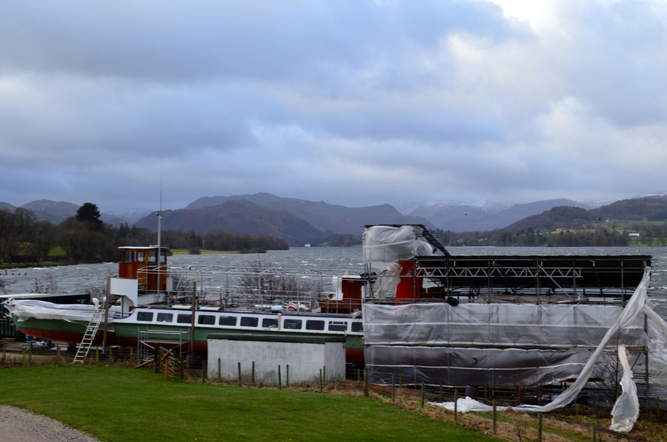 |
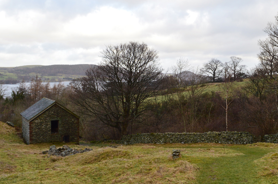
| The Ullswater Steamer 'My Lady of the Lake' on the slipway under repair. |
| After giving David and Rod a guided tour of the campsite which included the toilet and shower blocks we passed Waterside House along with its array of farm machinery parked outside while accompanied by the smell of silage, no change there! We left Waterside and joined Howtown Road. |
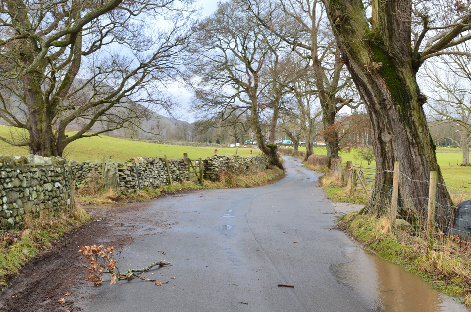 |
| Howtown Road. |
| It was evident that Storm Erik was still very much in control as we walked south towards Howtown having to negotiate flooded areas of the road while again placing any fallen branches/debris towards the side of the road. Up ahead we pass a pair of Alpaca's who along with a herd of Herdwick's were grazing in the field seen over on the left. |
 |
| Passing through Cross Dermont. |
| Just under half a mile from Waterside we now head left at the sign posted 'Cross Dormont' then head right at the white barn and keep right through the field towards Seat Farm. |
 |
| Passing Seat Farm. |
| It had started to rain and while exposed to the elements we were again at the mercy of the wind which was such a shame as the views from Seat Farm which overlooked Sharrow Bay to the south were exquisite. |
 |
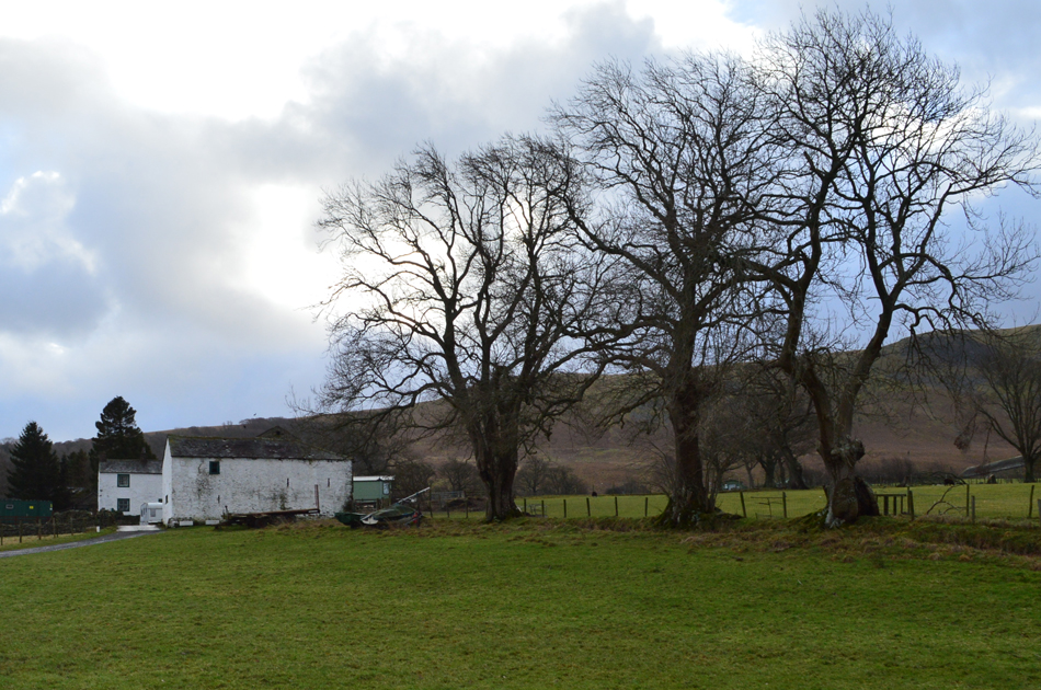
| Crook-a-dyke. |
| It was always worth checking our maps to make sure we were on the right path but to be fair the Ullswater Way was clearly sign posted at every given opportunity and soon we arrived at Crook-a-dyke which alongside the farm buildings seen on the left was this seventeenth century cottage complete with original slate roof. |
 |
| Sharrow Cottages. |
| Despite the howling winds by the time we arrived at Sharrow Cottages it had stopped raining and towards the west the sun was breaking through over Little Mell Fell leaving traces of light over the summit which looked extremely promising and kept up the momentum. |
 |
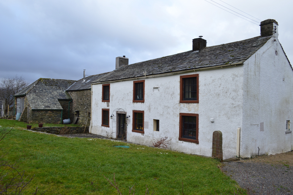
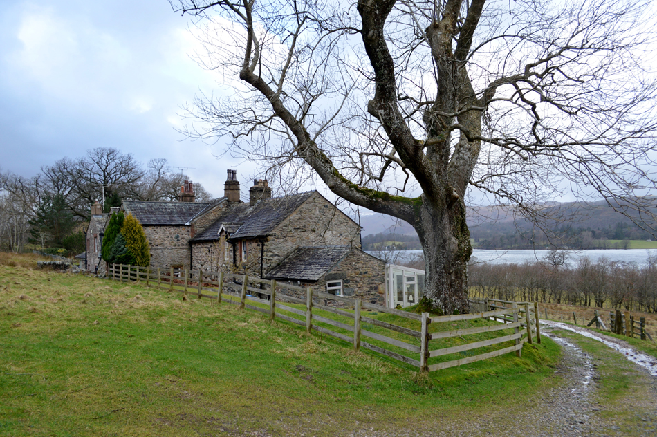
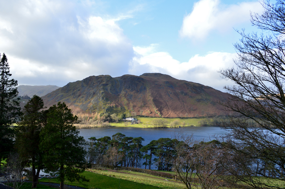
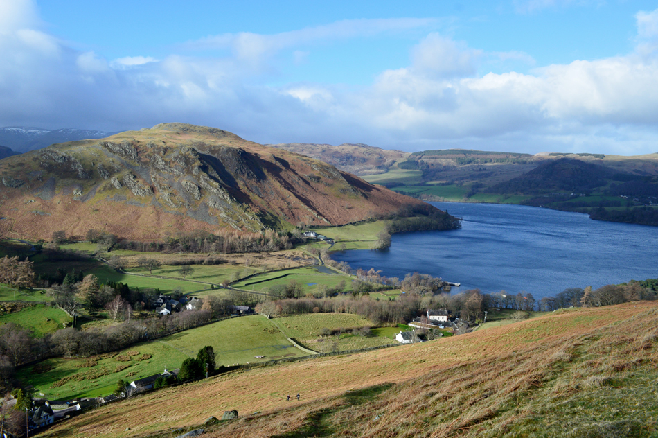
| Bonscale Pike and Swarthbeck Gill come into view as we approach Swarthbeck Farm Cottages. |
| You may be able to spot the cottages through the trees centre right. From the cottages we climb steadily passing below Bonscale Pike then link up with the Roehead / Howtown path. |
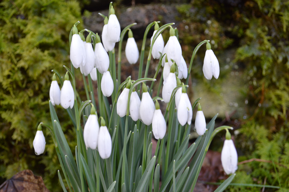 |
| Snowdrops, Swarthbeck Farm Cottages. |
| While growing alongside...Daffodils which were about to flower. |
 |
| Swarth Beck, Swarthbeck Cottages. |
| |
 |
| Looking back on a two story barn at Swarthbeck before we link up with the Roehead / Howtown path. |
| With Swarth Beck in full flow behind the stone wall. |
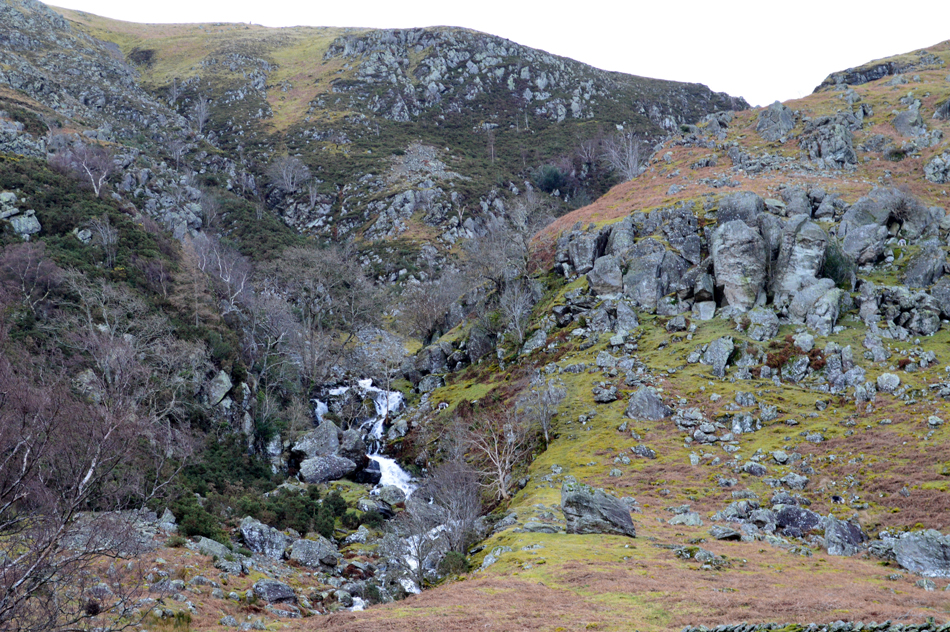 |
| The ever impressive Swarthbeck Gill. |
| Which was out of bounds to gill scramblers and climbers at the moment due to Raven's nesting at this time of year. Later we will cross Swarth Beck well before it reaches the Gill, it's hard to believe that the same watershed will pass through this amazing ravine before flowing into Ullswater. |
 |
| Gowbarrow and Swinburn's Park catches the sunlight as we pass above Howtown. |
| That sunlight and those clouds are really starting to spread now, mind you it's still extremely windy though! |
 |
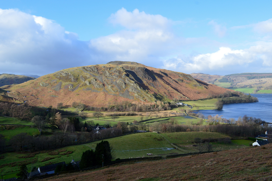
| Delightful Hallin Fell seen beyond Howtown Wyke. |
| No one is spotted at the summit just yet. |
 |
From the path above Howtown the zig-zagged road leading onto The Hause with Beda Fell and Place Fell in the distance. |
| |
 |
| Hallin Fell, Ullswater from the start of the steep climb on to Bonscale Pike. |
| The path continued towards Mellgaurds and from it we started to see the steep zigzags higher up the hillside, locating the lower half of the path however, can be tricky especially during the Summer months when the Bracken is rife, today we were lucky and located the path easily as I make a mental note of its location situated directly opposite a concrete manhole in the path, this may seem rather over the top while in the depths of Winter but come Summer when the Bracken is high that concrete grid will come in handy. |
 |
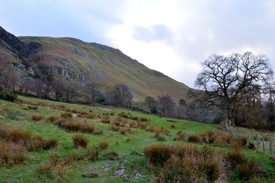
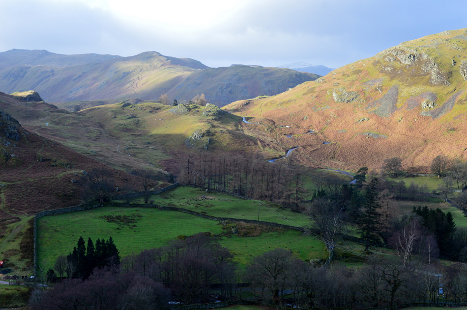
| During the steep ascent the views open up into Fusedale. |
| With Steel Knotts (Pikeawassa) and Gowk Hill seen domineering the west flank of the valley. |
 |
| Stopping to admire the view once more over Hallin Fell and Howtown. |
| Ok I admit this was more of a 'forced stop' rather than a 'camera stop' due to the terrain being incredibly steep, phew wee!, we all agreed we'd forgotten just how steep this ascent actually is. |
 |
| In the sunshine now heading towards Bonscale Pike. |
| We might be in the sunshine for now but the wind is trying its best to bowl us over while walking in a straight line along here was all but impossible. It was agreed that should the wind have been blowing from the east we'd be swimming in Ullswater by now, at least with the wind approaching from the west it's actually pushing us into the fell side rather than off it. |
 |
| Arthur's Pike from Bonscale Pike summit. |
Moments before we reached the summit we were hit by some of the strongest gusts we'd felt all day which sent David and I into a grassy hollow while Rod did his best to stand against the wind, I kid you not I actually checked I still had my fillings after that.
There was no way we were going to risk making it towards the stone towers, common sense told us to get the hell out of there. |
 |
| While enjoying a little respite from the wind... |
| ...we head towards the familiar Sheepfold where we cross Swarth Beck. |
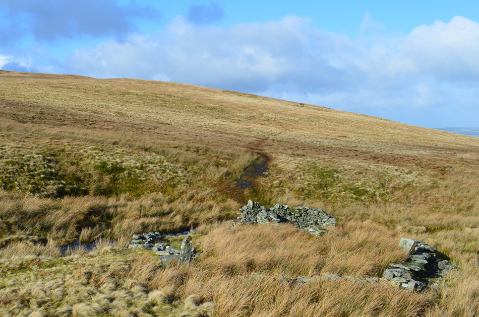 |
| The Sheepfold at Swarth Beck. |
| Still enjoying the sunshine we headed down towards the Sheepfold where we are passed by a young couple making their way towards Bonscale Pike, only Hi's were exchanged as we figured they didn't need advising on how windy it was. |
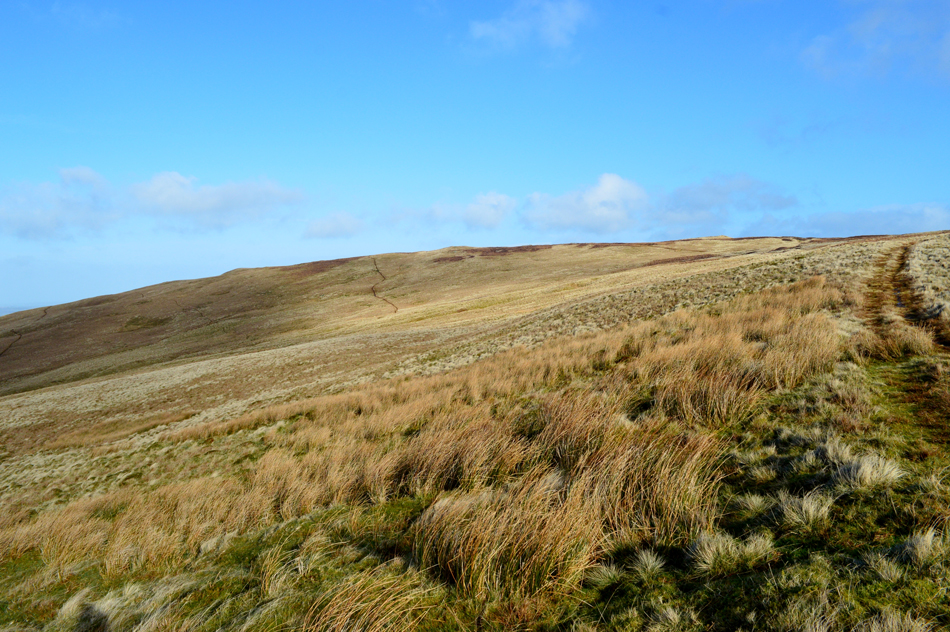 |
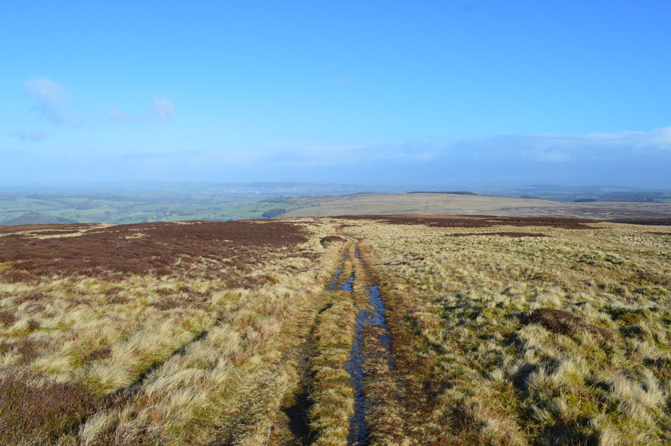
| Arthur's Pike is just up ahead. |
| |
 |
| Pausing to look beyond Swarth Beck towards Bonscale Pike. |
| It's looking incredibly bleak towards the Helvellyn range. |
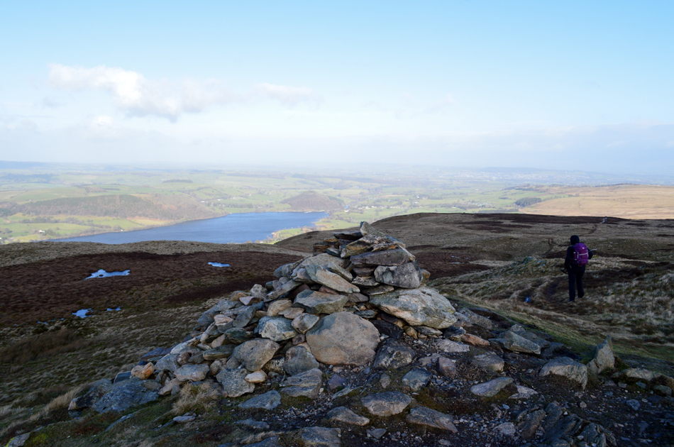 |
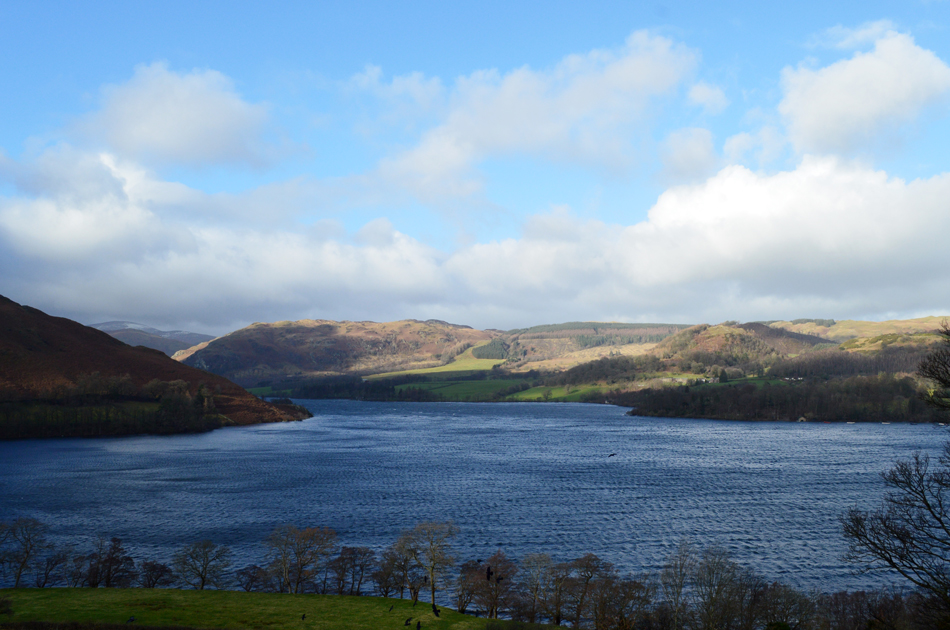
| Ullswater from Arthur's Pike summit. |
By the time we had reached Arthur's Pike summit the sun had gone in behind a bank of dark cloud and with it dropped the temperature. We arrived just before a young girl who sat at the cairn while taking a selfie who didn't quite realise we were about to creep up on her. Smiles broke out with hi's and hello's while over the sound of the wind we shared our routes ~ as it turned out the young lass was parked at Roehead too.
However, we left in different directions, her. the shelf route along Barton Fell while us 'oldies' took the central route down the ridge, a descent that should see us more sheltered from the wind. |
 |
| Taking it easy while descending gently along Barton Fell with a Winter sun on our backs. |
| Where conversation resumed! |
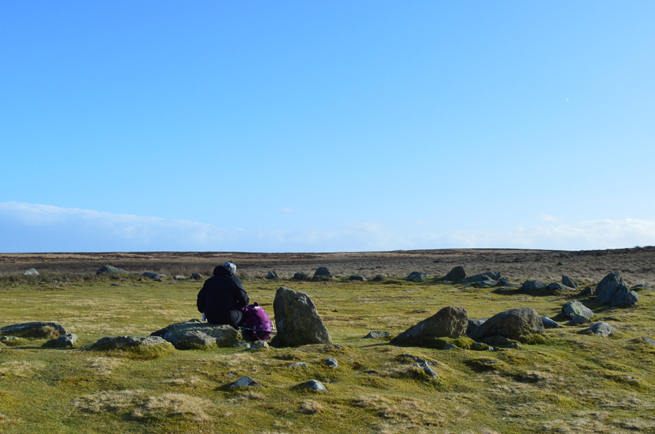 |
| The Cockpit Stone Circle, Moor Divock. |
| The young girl was never far from view and we linked up with the shelf path with her only fifty yards up ahead, she reached the The Cockpit Stone Circle and smiles were once again exchanged along with a short conversation over how large the Stone Circle actually is which measures 90 feet across at its widest point. Like all Stone Circles the purpose of this prehistoric Circle is a mystery. It may have been for rituals and gatherings, or even a sign of land ownership. |
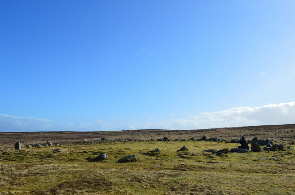 |
| The Cockpit Stone Circle, Moor Divock. |
| |
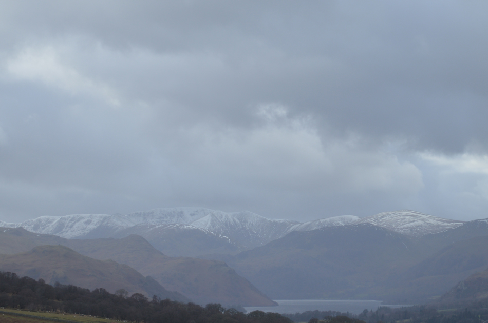 |
| The weather appears to be closing in as we take in this one last view towards Helvellyn and its satellite summits. |
| We left The Cockpit Stone Circle while over our shoulders the weather was beginning to take a turn for the worst leaving the Helvellyn range looking pretty uninviting indeed. We were almost back at the cars and talked about the highs and lows of the walk, the lows being the fight with the wind while highs for me was the view into Swarthbeck Gill along the pleasant sunshine we had while descending Barton Fell. With the cars reached off came the muddied overtrousers for whom I couldn't thank enough for protection they gave us all against Storm Erik. |
|
| |
| Back to top |
 |
|