Walking the Birketts, Loughrigg

12th January 2019

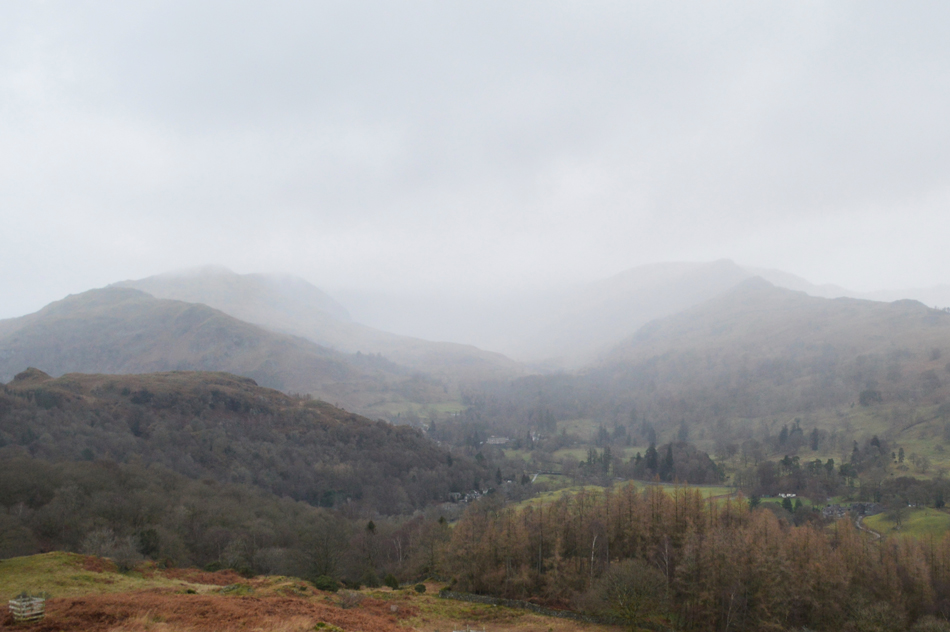
I've never known a January like it, the fells are still free from snow with the exception of the odd ice patch and in the valleys it feels more like Spring than Winter, this is highly unusual but if this mornings forecast is anything to go by snow is due later in the month,, lets hope so.

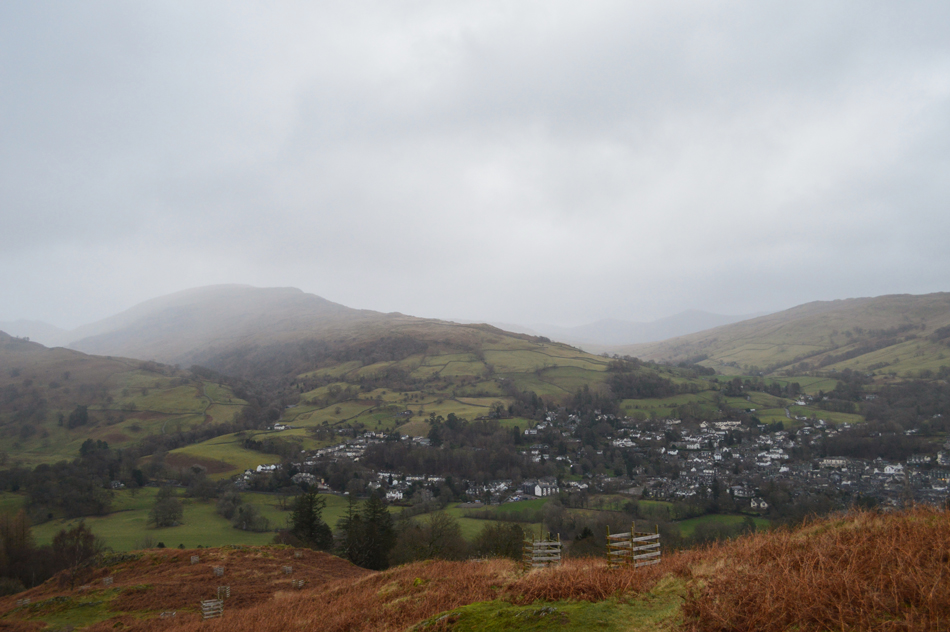
Lakeland has remained rather dry this past week with even the odd day where the fells have been completely cloud free, although typically the cloud base remained low throughout. Frustratingly come the weekend we lost the high pressure which was replaced by strong winds although it still remained mild in the valleys.

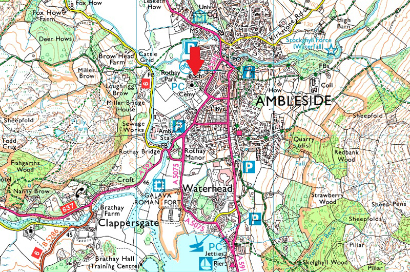
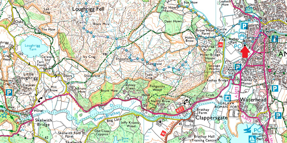
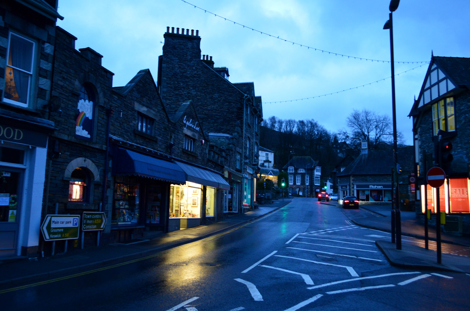
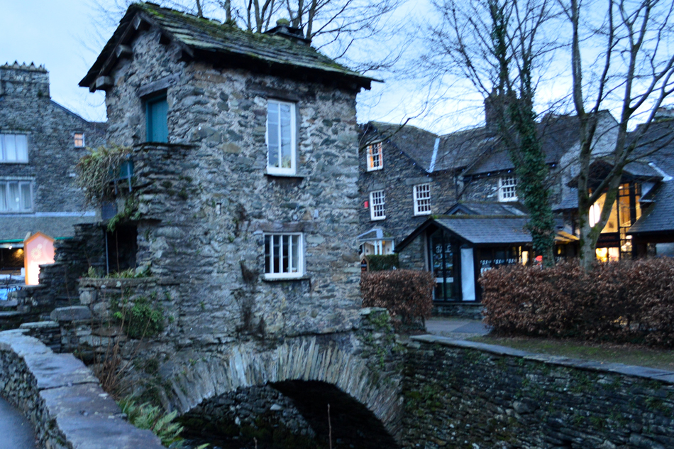
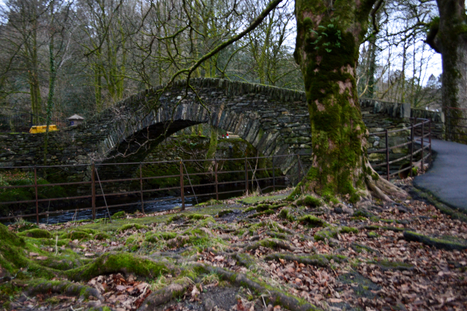
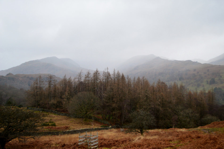
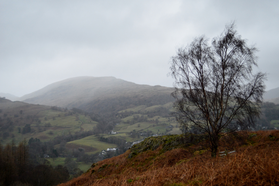
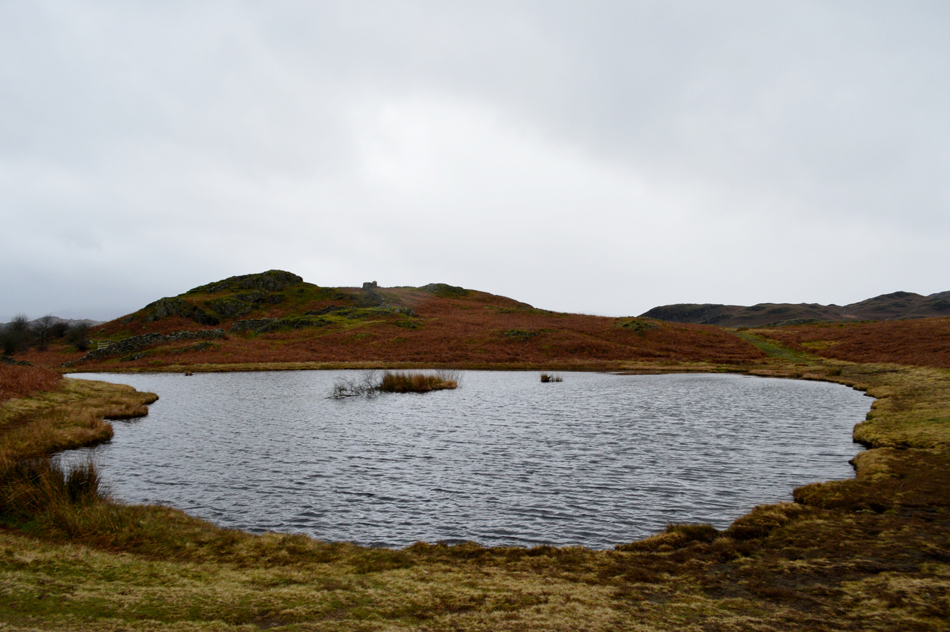
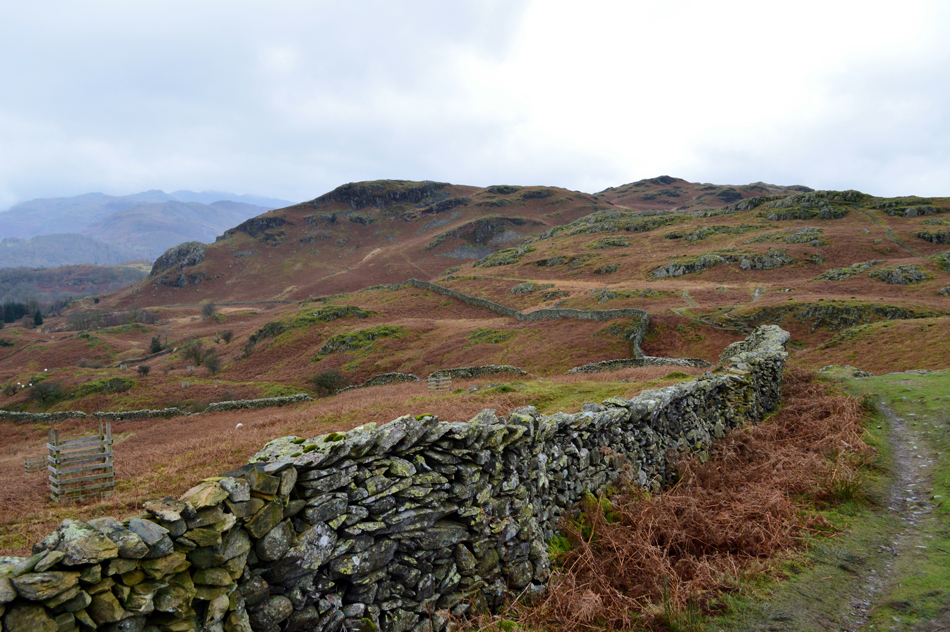
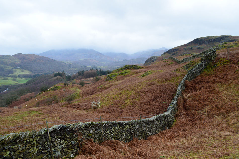
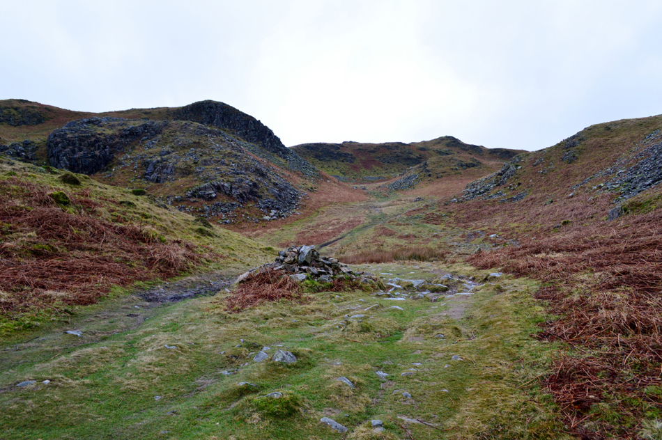
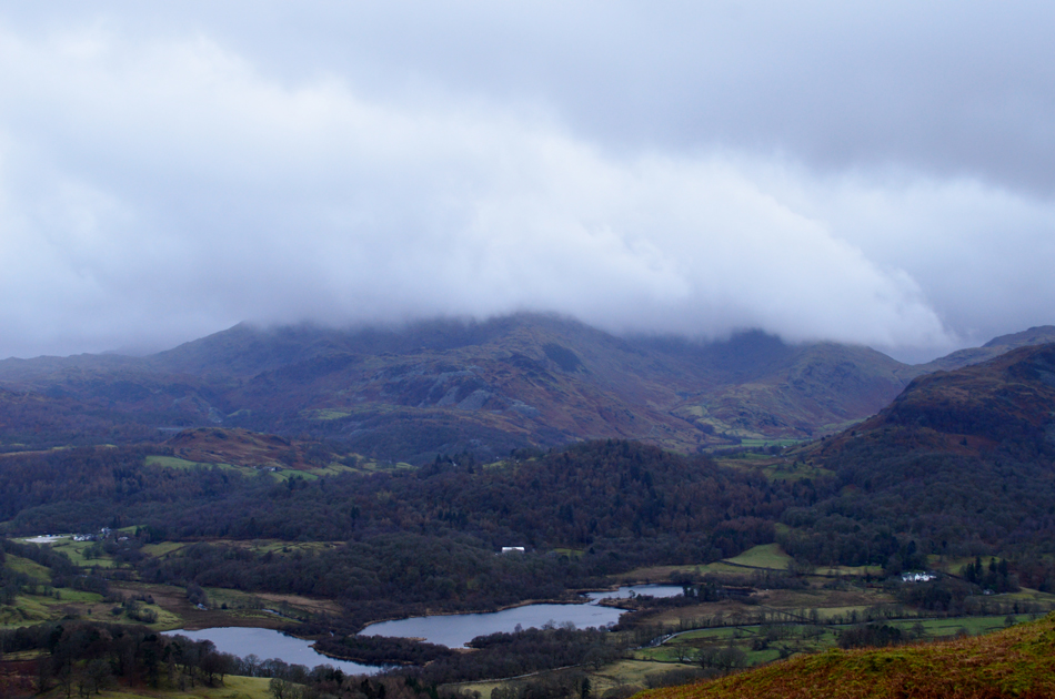
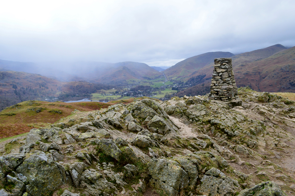
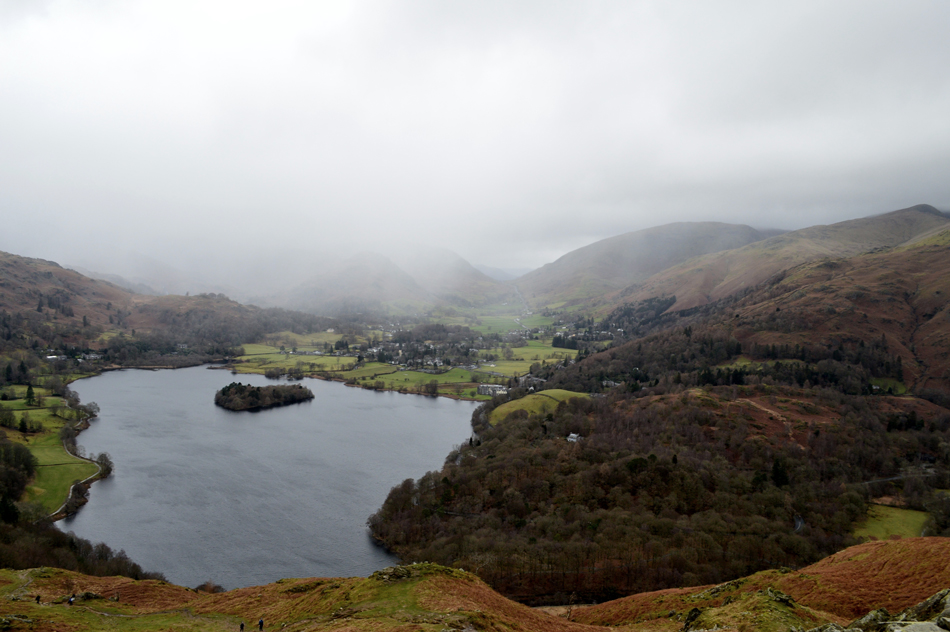
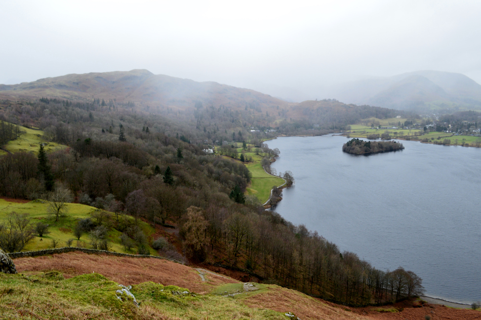
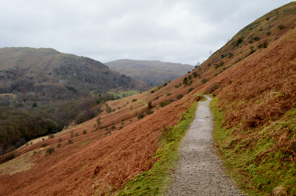
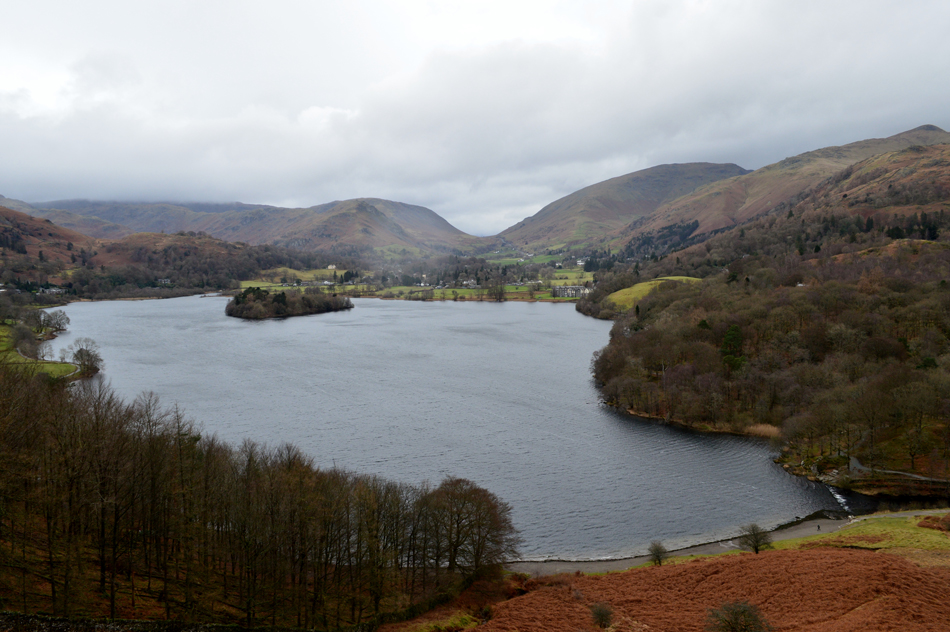
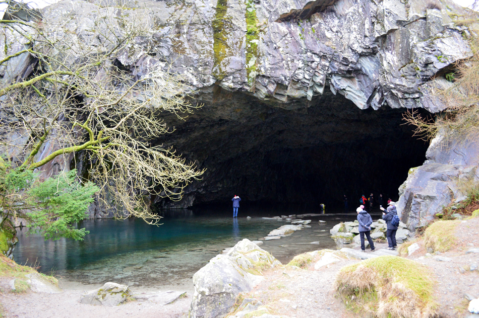
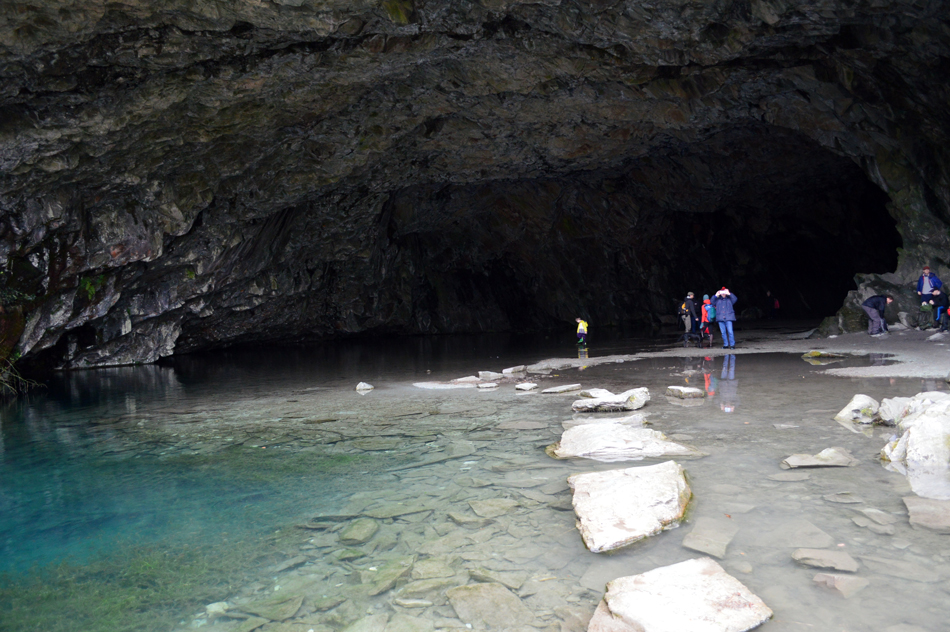
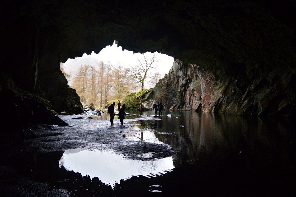
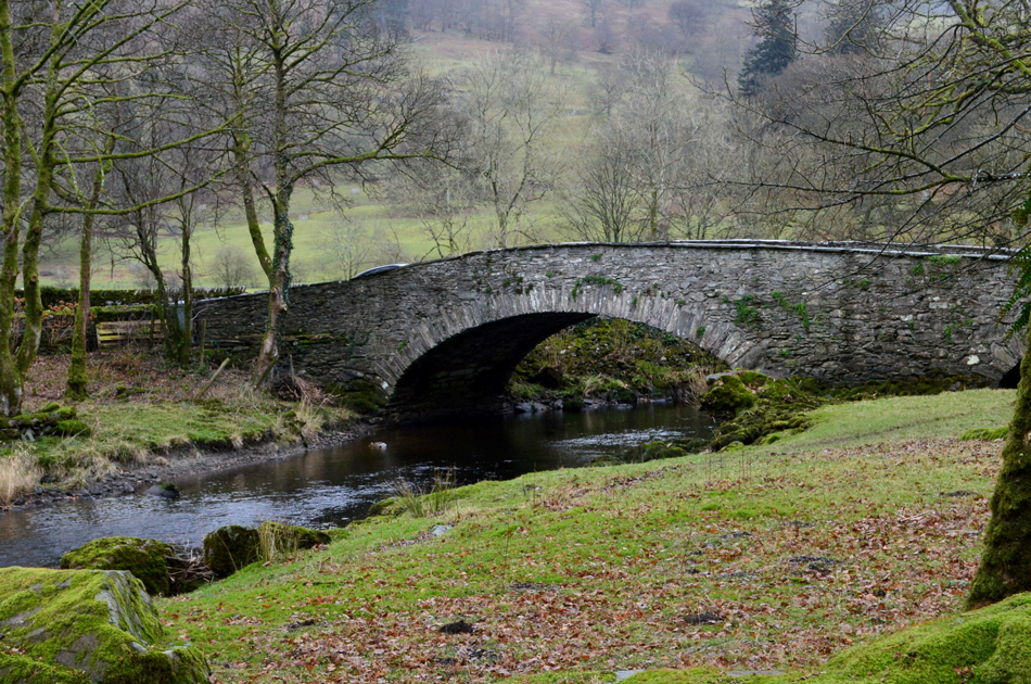
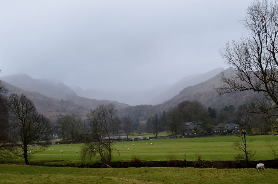
As a fell walker we expect this and we usually work around the forecast which was just what we did today following in Birketts footsteps taking in Loughrigg Fell from Ambleside. Loughrigg Fell is a great walk in any weather and I'll be the first to admit that once the sun comes out I tend to head for the more spectacular routes when really one should be exploring Loughrigg's undulating humps and bumps together with its stunning views, today we got the same views even if it was dramatised by the forecasted wind and rain.

 
The Complete Lakeland Fells
By Bill Birkett

-Loughrigg Loughrigg provides a delightful outing, one suitable for all seasons and markedly different in each.


Overview
Ascent: 985 Feet - 300 Metres
Birketts: Loughrigg Fell
Weather: A Dull & Overcast Day With Rain On & Off, Windy Over The Summit, Feeling Mild. Highs of 9°C Lows of 8°C
Parking: Ambleside C of E Primary School, Vicarage Road, Ambleside.
Area - Group: Central W/LAN
Miles: 6.5
Walking With: David Hall
Ordnance Survey: OL7
Time Taken: 3 Hours 50 Minutes
Route: Ambleside - Miller Bridge - Miller Brow - Lily Tarn - Loughrigg Fell - Loughrigg Terrace - Rydal Cave - Pelter Bridge - Miller Bridge - Ambleside
 

Parking Details and Map Ambleside C of E Primary School
Nearest Post Code: LA22 9DH
Grid Reference: NY 374 044
Notes: There is room for half a dozen cars outside Ambleside C.E Primary School, please note that parking here is restricted to weekends and school holidays. There is a donation box found at the left hand side of the car park, all proceeds go to Ambleside C.E Primary School.


Map and Photo Gallery


Compston Road, Ambleside about 08:35am 8°C

Any chance of an incorrect forecast was quickly laid to rest the minute I left the house this morning, in fact it wasn't my alarm clock which woke me it was the wind. It remained dark and damp the whole journey north and by the time I reached Ambleside around 08:05am it was still as dark as I left the house an hour and a half earlier accompanied by drizzle in the air. Todays actual starting point is Rydal Road car park but we chose to park outside Ambleside C of E Primary School instead from where we'll walk to the official starting point which only adds an extra ten minutes or so to the walk.

I was the first to arrive but not the first at the car park which was already occupied by the owner of one car whose radio was so loud I almost tapped on the guys window to ask him to turn it down. I'm soon joined by two more cars whose owners take their dogs out for a morning walk through Rothay Park before David arrived a short time afterwards. By the time David arrived I was almost ready for the off and thankfully for now, it had stopped raining while appearing to get a little lighter. We greet with the usual handshake while I bore David over my bargain Rab waterproof jacket that I ordered in the January sales the night previous.

We debated while it had just stopped raining wheather to add the waterproofs and while viewing the high cloud passing over our heads at a rate of knotts decided not too, for now anyway.


Bridge House, Ambleside.
We left the Primary School and walked towards the top of Compston Road passing brightly lit shop windows then turned left and followed the pavement passing Bridge House along the way. Rydal Car park is passed next followed by Ambleside Police and Fire stations before taking a left through the houses which from where we picked up the footpath alongside Stock Ghyll with Rothay Park on t'other side.

The footpath continues until Miller Bridge is reached.
We approach Miller Bridge from the right at the same point where Stock Ghyll flows into the River Rothay. After crossing Miller Bridge we head right then pass over a Cattle Grid and then immediately left towards Miller Brow, continuing ahead here heads towards Pelter Bridge and Rydal.

The Fairfield Horseshoe above Loughrigg Brow Wood.
We followed the steep tarmac lane which gave way for a footpath once in line with Loughrigg Brow Wood from where we take a left onto the open hillside. The ground was swollen but not as damp as we had anticipated although given that it's just started to rain again all that may change. Here we pause to look back at a heavy rain shower passing over Rydal obscuring the Rydal valley and the Fairfield Horseshoe.

A rather murky view towards Snarker Pike and Red Screes.
 

After the showers had passed.
We are left with this dramatic view into the Rydal valley.

The view over Ambleside towards Low Pike.
With High Pike seen further up the ridge.

Arriving at Lily Tarn.
We continued to follow the path which had by now eased to a gentle gradient. Lily Tarn was just ahead but before reaching it the drizzle turned to light rain which fell frequently heavier, it was time to add the waterproof over trousers. Typically it had stopped raining by the time we reached Lily Tarn but there was scrawly rain left in the air and keeping the waterproofs on from here on in just seemed the sensible thing to do.

The undulating humps and bumps of Loughrigg Fell.

We decided to follow the stone wall for a short while then veered right along a prominent path which you might be able to make out upper right. Loughrigg Fell isn't short of footpaths even the lesser used routes across the fell are starting to become as prominent as the next.

The high ground in the distance isn't the summit which can be found just a short distance further West.


The view towards a cloud topped Lingmoor Fell.
With the Wetherlam, Swirl How and Great Carrs all below the cloud line.

A micro valley found just below the summit.
The summit appears after passing the craggy outcrop over on the left.

Low level cloud over Wetherlam, Swirl How and Great Carrs.
By now we had experienced a mix of drizzle, light and heavy rain all the while strong gusts await us at the summit, we couldn't help but wonder how strong the winds were on Wetherlam at a point when sudden gusts here on Loughrigg Fell are strong enough to toss us about abit.

Loughrigg Fell summit.
Feeling sheltered for the duration of the walk by the time we reached the summit the winds had ramped up to a point where the next best choice was start an immediate descent taking care not to slip on the wet rock, blimey where did those winds just appear from!

The view over Grasmere Lake as rain spreads eastwards towards Fairfield.
Thankfully we managed to miss this passing shower too, it's still incredibly windy mind.

It looks like Silver How has just missed the shower too.
Our descent takes us towards Loughrigg Terrace which can be seen just at the corner of the woodland below, we're hoping the wind will be a little calmer down there!

Nab Scar and Snarker Pike from Loughrigg Terrace.
Here comes the best part of the walk, the walk back to Ambleside starts here at Loughrigg Terrace where we may not have any long distance views and it might be raining but it's very pleasant underfoot.

One last photo over Grasmere Lake looking towards Dunmail Raise in the distance.
No matter the conditions you can't fall out with this view. That's Steel Fell over on the left with Seat Sandal over on the right which are now free from cloud.

Rydal Cave.
We followed the path along Loughrigg Terrace passing many a day tripper and walker all out to make the best out of an otherwise dreary Lakeland morning. With the terrace path behind us we continued towards Rydal Cave which was recommended as a short detour by Birkett, it's the kind of place you can't walk past without wanting to investigate no matter how many times you have been here before and today was no exception.

Rydal Cave.
Even a damp day in Lakeland can't keep the visitors away.

The view from inside Rydal Cave.
 

Pelter Bridge, Rydal.
With Rydal Cave behind us we followed the track back to Pelter Bridge passing the grand Cote How before arriving at a rather busy Pelter Bridge car park, it is here we turn right onto Under Loughrigg along the banks of the Rothay back towards Miller Bridge.

High Pike and Low Pike from Under Loughrigg.
 

The Fairfield Horseshoe from Under Loughrigg approaching Miller Bridge.

It's a mile and a half to reach Ambleside from Pelter Bridge and in that time we took time to reflect on our morning while passing more walkers out for a stroll. We hadn't noticed the cloud drop down even further and even though it was only lunchtime the low light made it feel much later. Miller Bridge was soon reached where we had the option to walk back along the same footpath we had used this morning or through Rothay Park. It made sense to walk through the park owing to our cars being parked on t'other side which we reached about the time it started to drizzle again. The smell of hot chips waft through the air as our cars are unlocked and wet gear is bungled into our boots.

We make plans for our next walk then the ritual handshake before I put the car into reverse and head back through a much busier Ambleside than I had left this morning.


Back to top