Walking the Birketts, Sheffield Pike

28th December 2018

Making the most of the Christmas holidays we arranged to follow Birketts Sheffield Pike walk which covers around five miles and collects three summits making it just perfect to get back and indulge in Christmas dinner left overs. As mentioned in my previous two reports much of the country is very much in the grip of this wet and mild weather front creating murky conditions not just in the valleys but on the tops too, although as I write this a cold blast has been forecast for New Year so lets hope it brings some snow (I shall be eating these words come March!)

It's been two years since I was last on Sheffield Pike and back then we covered an epic fifteen miles starting on Great Mell Fell and completed the walk on Glenridding Dodd although today we will aim for a more relaxed approach if only to let the mince pies settle.

This is Sheffield Pike from Glenridding.

 
The Complete Lakeland Fells
By Bill Birkett

-Sheffield Pike This route rises above Glenridding and provides lively walking and splendid scenic views.


Overview
Ascent: 1,920 Feet - 585 Metres
Birketts: 3, Glenridding Dodd - Heron Pike - Sheffield Pike
Weather: Drizzle & Light Rain Turning Heavier Towards Lunchtime, Clearing Thereafter. Feeling Mild. Highs of 9°C Lows of 6°C
Parking: Glenridding
Area - Group: Eastern /C/DOD
Miles: 5
Walking With: David Hall & Rod Hepplewhite
Ordnance Survey: OL5
Time Taken: 3 Hours 40 Minutes
Route: Glenridding - Blaes Crag - The Rake - Glenridding Dodd - Heron Pike - Sheffield Pike - Nick Head - Seldom Seen - Lake Path Back to Glenridding - Glenridding
 

Parking Details and Map
Nearest Post Code: CA11 0PD
Grid Reference: NY 385 716
Notes: A large Pay and Display can be found in the centre of Glenridding alongside Glenridding Beck. The car park hosts an Information Centre and Toilets with local shops, bars, hotels and not to forget some of Lakelands most popular fells close by. The car park is Pay and Display and charges apply.


Map and Photo Gallery

20181228


Heron Pike (L) and Glenridding Dodd from the Travellers Rest, Glenridding 09:10am

We had agreed to meet at 09:00am at the off road parking spaces close to the main car park in the centre of Glenridding. Rod was already there waiting in his car when I arrived around 08:50am and we greet with the obligatory handshake, there was drizzle in the air and whilst we were chatting the drizzle turned into quite a heavy shower forcing Rod to put his boots on in the passenger seat of his car while I kit up using my tailgate as a shelter. The good news was the cloud wasn't as low as we thought it would be with the summit of Birkhouse Moor seen even if it was a little murky. David soon arrived by which time the shower had completely stopped and above Sheffield Pike chinks of blue sky started appearing, blimey I think David is starting to take on Messiah status!

We ummed and arred whether to add our waterproof over trousers and in the end decided against thinking if this drizzle is gonna be on and off we'll risk it for now. As David kits up a chap walks over and ask "Is it ok to park here?" aye at this time of year it is and no sooner had we looked the chap pulls up behind David in a VW motorhome and is joined by his wife and young family. By now we were ready for the off so with our cars locked we head out through the centre of the village towards the Travellers Rest.


Birkhouse Moor North, and North East ridge from Greenside Road.
We continued through Glenridding and turned right after passing the Travellers Rest, the road steepend before we emerged on to Greenside Road and continued a little further until Rake Cottages are reached, named 'Rake' presumably after The Rake found directly behind the cottages and the start of todays ascent onto Glenridding Dodd.

Heron Pike from The Rake.
It's a steep ascent from the off feeling much steeper while trying to work off our Christmas dinners.

Glenridding Dodd summit cairn.
Our ascent seemed to take longer than it should and that can be put down to discussing Christmas telly which we all agreed was crap. To cheer us up though we did narrowly avoid the heavy shower which approached from further up the valley then turned south towards Patterdale, this despite ascending in drizzle for much of our ascent. Having reached the Col which divides Glenridding Dodd from Heron Pike the drizzle eased slightly where we are passed by a chap and his dog descending Glenridding Dodd, this is the same chap who we had seen ahead of us earlier, smiles and hello's are exchanged before we head off on our separate ways.

Through the murk and drizzle, Gowbarrow Fell and Ullswater.
You still get one of the best views of Ullswater from the summit of Glenridding Dodd even it was a little murky...and grey...and dull...and raining!

Heron Pike seen over the Col.
After a few moments at the summit we turned heel and started to head back down to the col by which time the rain had stopped clearing the view towards Heron Pike, after crossing the col we ascend via from the left then pick our way over the craggy outcrops.

Looking back at Glenridding Dodd from the start of our ascent on Heron Pike.
 

Passing the Shark and Rhino rock with Ullswater, Birk Fell and Bonscale Pike in the distance.
It's always worth keeping an eye out for these two...found on the right (during ascent) around half the way up.

Dramatic skies over Birks and Arnison Crag.
 

"No need for the waterproofs lads the suns coming out"
If only!

Heron Pike summit.
We continued our ascent stopping mostly to chat making it a slow, but rather enjoyable ascent despite the showers. On gaining the summit of Heron Pike we keep right at the fork and take the narrow path towards the summit cairn, continuing straight ahead at the fork will lead directly towards Sheffield Pike and avoid Heron Pike summit altogether.

'M' is for the Marshall Estate of Greystoke.

We spoke about the cracks in the boundary stones and wondered of their origins and hoped that they weren't caused by acts of vandalism.


'H' is for the Howard Estate of Patterdale.

After checking through old photos I can confirm that slight fractures where present around March 2015 which were possibly caused by freeze-thaw effect during winter.


Heading West towards Nick Head.
To add to the cloud at this point it started to rain and quite heavily this time although we each said that present conditions are only adding to the dramatics of the walk.

Low cloud over the head of the Glencoyne valley.
Having reached the path at Nick Head we descended out of the cloud and are passed by two walkers where hi's are exchanged. It was still raining, this time vertically due to the shelter the valley was providing. David decided to add his over trousers and no sooner had he pulled them up and you guessed it. the rain stopped completely, bloody typical eh.

Views over Ullswater towards Place Fell, Birk Fell, Hallin Fell, Bonscale Pike, Arthur's Pike and in the distance, Heughscar Hill.
It's clearing up nicely now.

Ullswater seen beyond Glencoyne.
 

Seldom Seen.
We continued in ascent passing a family and then a solo walker closer to Seldom Seen, all appearing to take advantage of the drier weather which wasn't forecast until later in the afternoon. By the time we reached Seldom Seen cottages the cloud had completely cleared from Sheffield Pike and indeed Hart Side leaving traces of sunlight over Brown Hills to the north, a welcome sight nonetheless even though we wasn't lucky enough to experience any of our own.

A long distance view towards the top of Kirkstone Pass with Arnison Crag appearing towards the right.

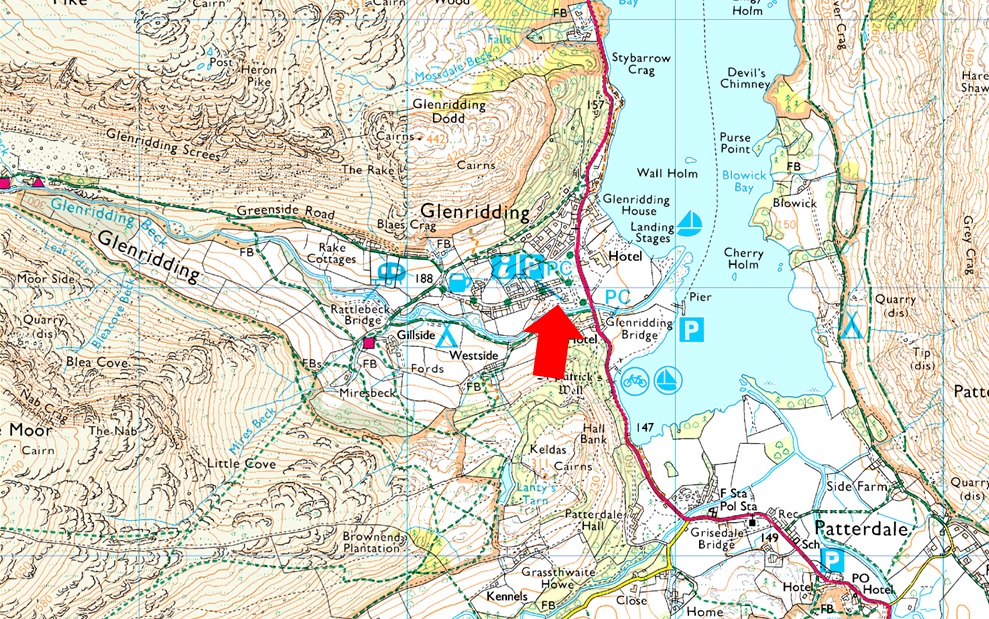
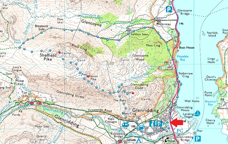
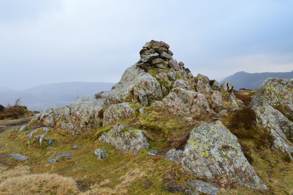
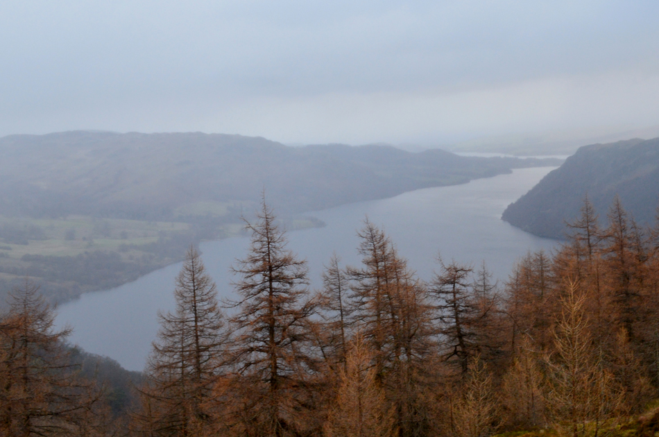
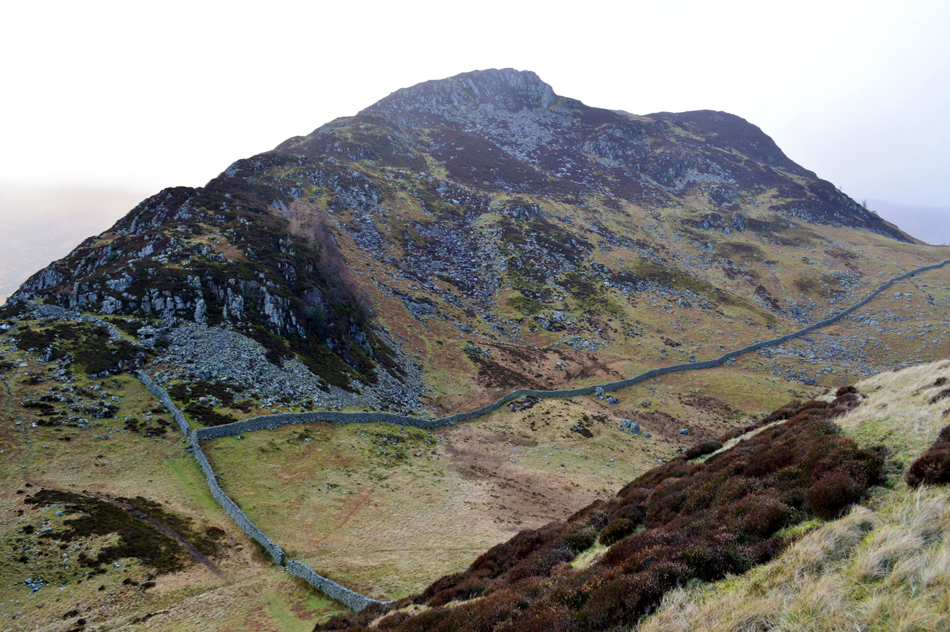
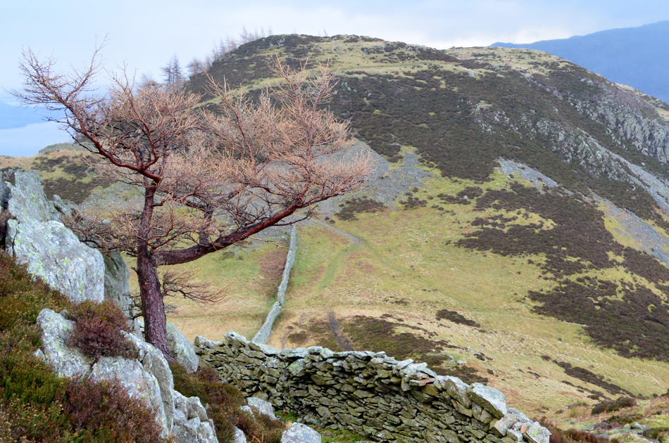
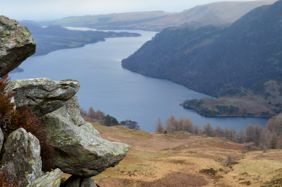
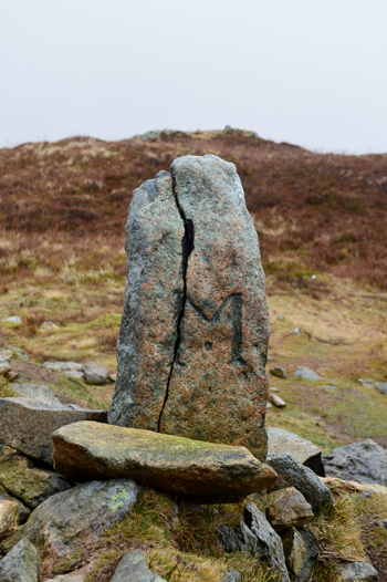
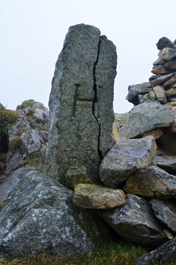
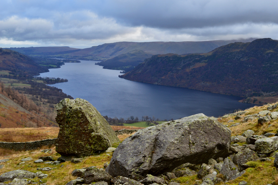
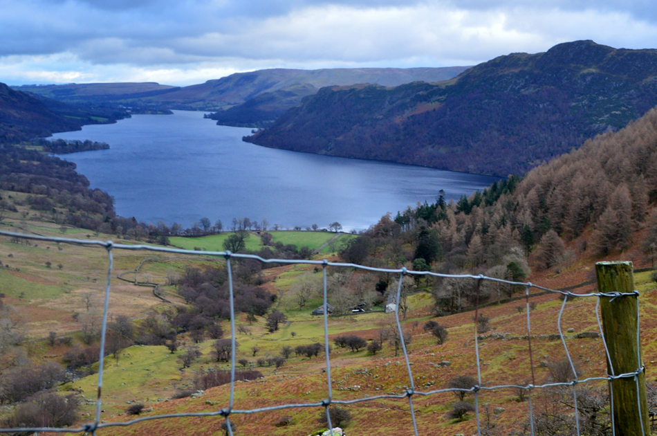
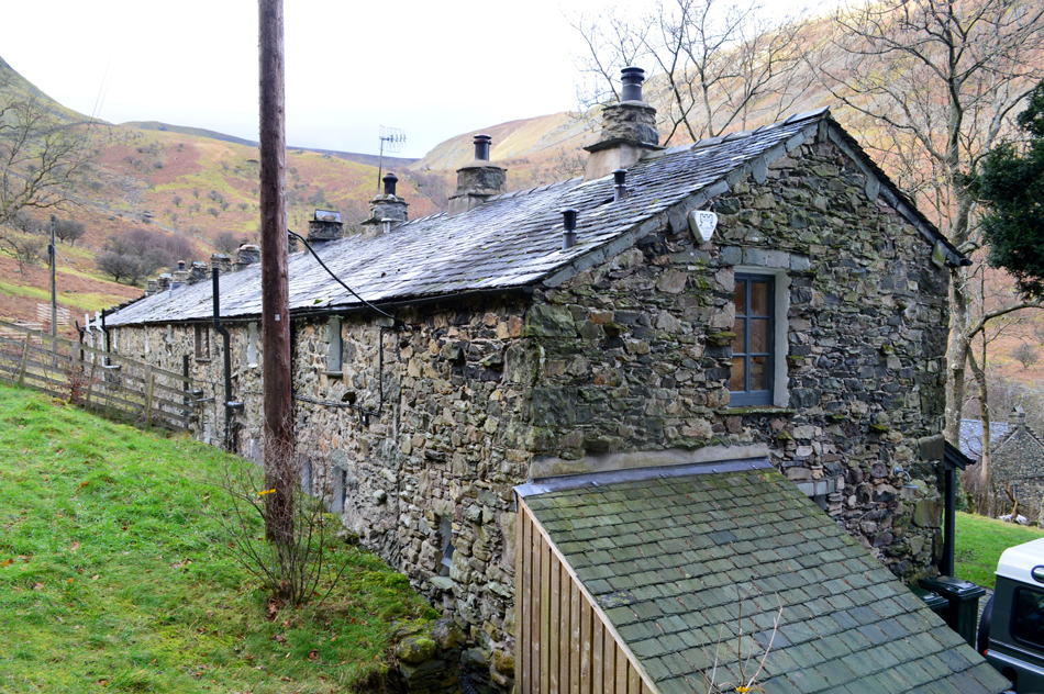
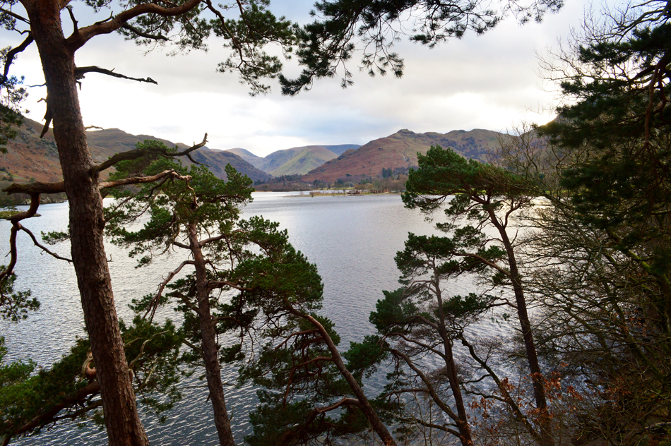
With Seldom Seen behind us we followed the track back to the A592 which we crossed before picking up the Ullswater shore path (now the Ullswater Way) and began to head back towards Glenridding passing many a family who were also taking advantage of a dry afternoon. We had to rejoin the A592 to pass Stybarrow Crag then took on the shore path for the final time before arriving back at a rather busier Glenridding village just as blue skies started to part overhead. We each kit down behind our cars then chat for a while at which point I knew that todays walk with some of my closest friends would be the last of 2018, I say nowt.

2018 has been another absolutely brilliant year and despite normally ending my walking year on the likes of Scafell Pike or High Street todays walk proved for me that it's not all about the hill, but the people who you share it with.

Thank you to everyone from the bottom of my heart for being part of this website.

Happy New Year for 2019


Back to top