|
Walking the Birketts, Martindale's Bannerdale Horseshoe |
 |
 |
20th October 2018 |
 |
|
While most of us have been in work during the week Lakeland has experienced some bright and sunny days only to come to an end come the weekend, well it seems that way anyway, but this is Autumn, although saying that doesn't make it any less frustrating. With David enjoying a break away Tim, Rod and I, from around midweek onwards set about planning on where to walk, the forecast changed daily and once one particular route was agreed on we had to shelve it owing to a weak forecast. With two walks already on the back burner I came up with this third Birkett walk 'Martindale's Bannerdale Horseshoe' which we all felt demanded better conditions than we were presented with but at this time of year it's difficult to be choosey.
The walk as usual keeps to Birketts original route collecting six summits while navigating the heads of the Boredale, Bannerdale and Rampsgill valleys. Often over the years certain Lakeland fells get associated with certain weather patterns and for me Beda Head falls in to the same category as it has during past visits, it's normally wet and windy and the cloud is usually down and you know what, nothing had changed. Today we were reminded of how stimulated one can feel while the elements are being thrown at you while being treated to light bursts one minute then nil visibility the next, it all started back at Martindale New Church just after 08:00am. |
|
| The Complete Lakeland Fells |
 |
| By Bill Birkett |
Rising from the quiet Martindale to round the deserted head of Bannerdale, this walk makes an interesting voyage of discovery. |
|
|
|
| |
|
Overview |
|
|
| Ascent: |
2,764 Feet - 843 Metres |
| Birketts: |
6, Beda Head (Beda Fell) - Angletarn Pike North Top - Angletarn Pike South Top - Brock Crags - Rest Dodd - The Nab |
| Weather: |
Overcast, Low Cloud and Drizzle With Strengthening Winds Over The Summits. Highs of 13°C Lows of 12°C |
| Parking: |
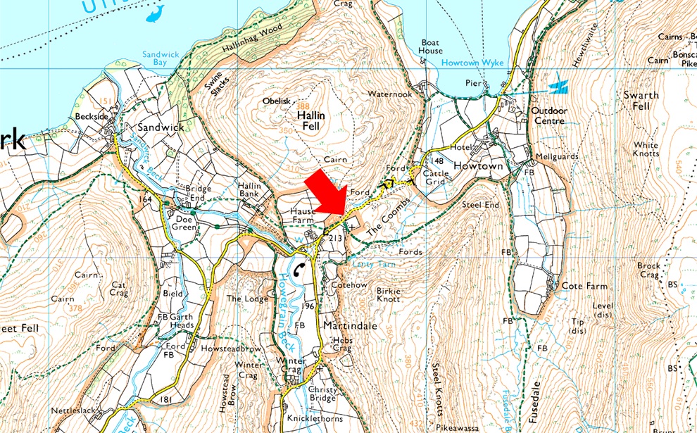
Car Park, Martindale New Church |
| Area - Group: |
Far Eastern - E/MAR |
| Miles: |
9.5 |
| Walking With: |
Tim Oxburgh, Rod Hepplewhite & Pearl the Dog |
| Ordnance Survey: |
OL5 |
| Time Taken: |
5 Hours 30 Minutes |
| Route: |
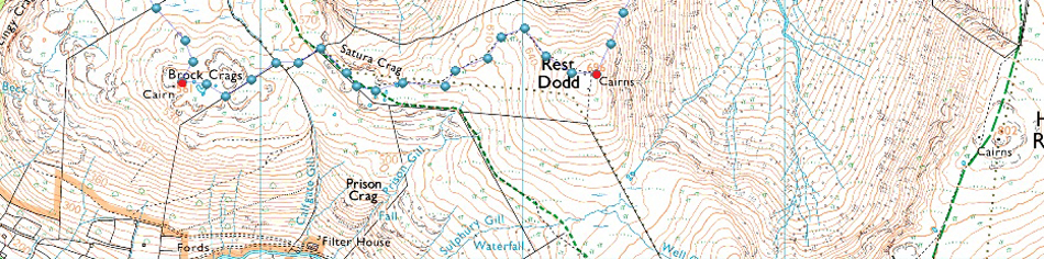
Martindale New Church - Martindale Old Church - Winter Crag - Beda Head (Beda Fell) - Bedafell Knott - Heckbeck Head - Angletarn Pike South Top - Angletarn Pike North Top - Angle Tarn - Cat Crag - Brock Crags - Satura Crag - Rest Dodd - The Nab - Below Nab End - Martindale - Martindale Old Church - Martindale New Church |
|
| |
|
Parking Details and Map |
|
|
| Nearest Post Code: |
CA10 2NF |
| Grid Reference: |
NY 435 619 |
| Notes: |
There are actually two car parks at Martindale New Church one of which is next to the Church itself and on the opposite side to the car park there is off road parking for around half a dozen well parked cars. Parking is free at both sites. |
|
| |
|
Map and Photo Gallery |
|
|
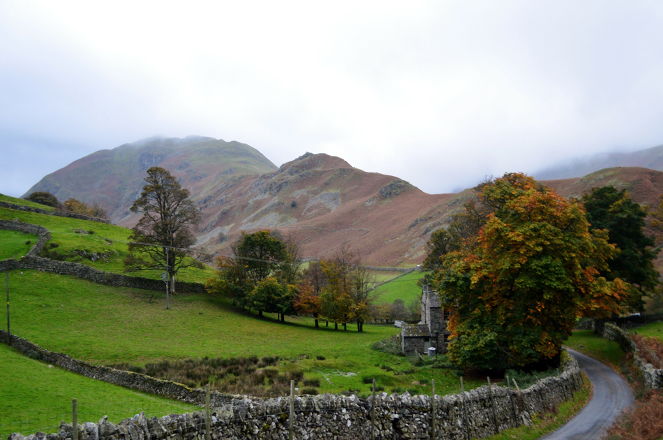 |
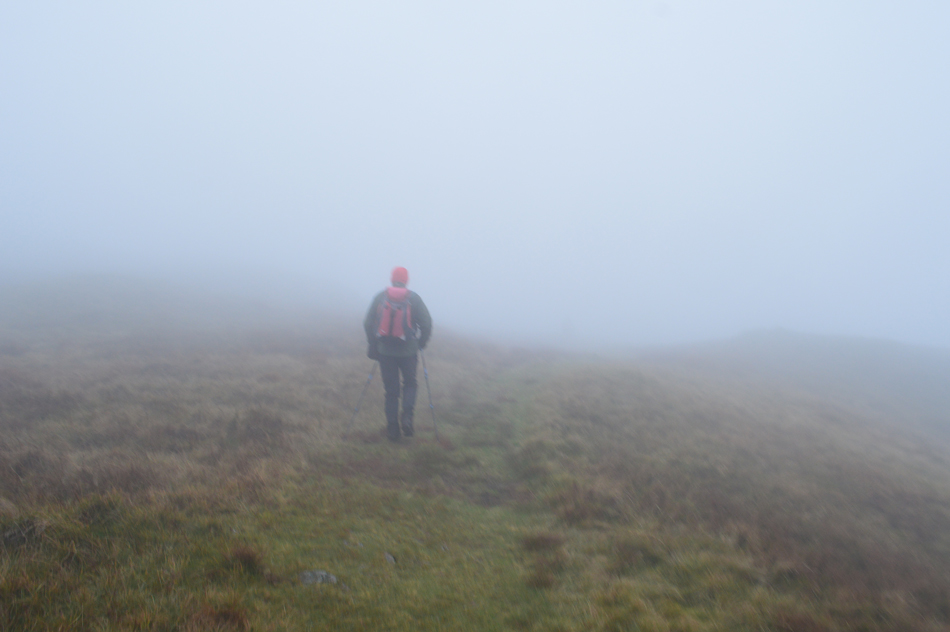
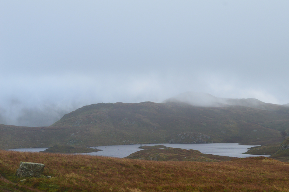
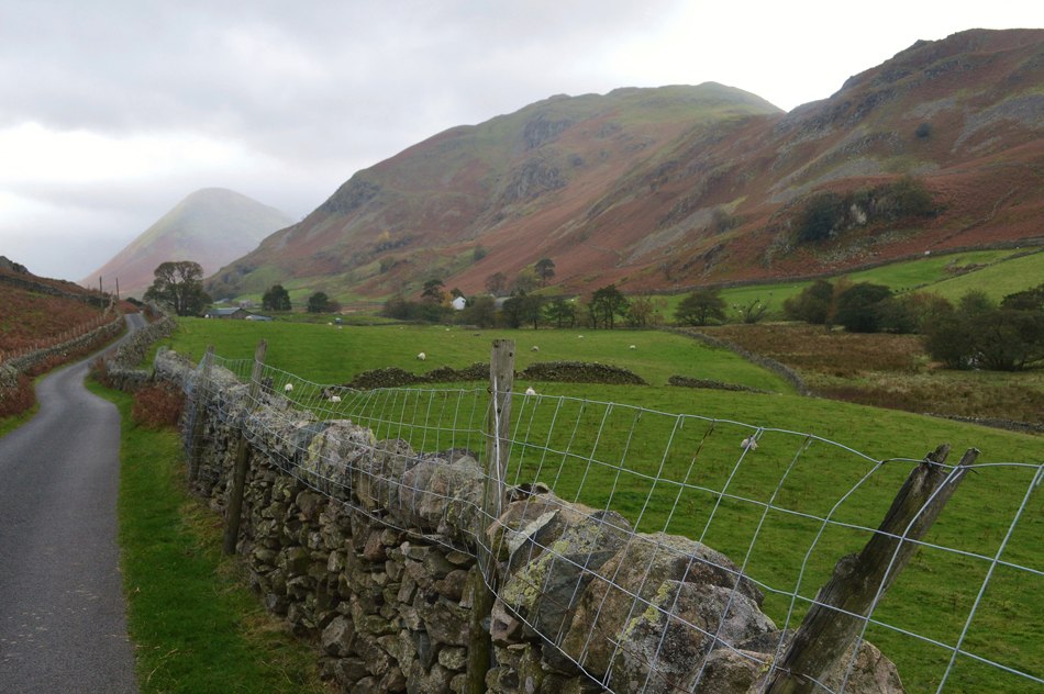
| The view towards Winter Crag and Beda Fell from Martindale New Church 08:05am 12°C |
Despite Tim and Rod having to travel from the north east both arrived before me despite me still being twenty five minutes ahead of schedule I still managed to receive a bit of flack from the guys. The forecasters had predicted drizzle, fog and low cloud for the duration so you could imagine our surprise when we found Beda Fell almost free from cloud as were our surrounding summits but for how long for we didn't know. The car park was relatively empty and I managed to park next to Rod who was almost ready as was Tim who was stood waiting patiently with Pearl his six year old Cocker Spaniel who didn't quite know what to make of myself and Rod although come the end of the walk Pearl had become the fourth member of the team.
It feels pretty mild despite the winds which were carrying the clouds across the skies at some rate although we knew this would change once height was gained. I soon discovered that I'd left my gaiters drying on the edge of the radiator at home leaving the bottom half of my legs to bear the brunt of the many mosses and indeed peat bogs we would encounter today, what's done is done there's nowt I can do about it now. At 08:05am we locked the cars having opted to park at the new Church as opposed to the official starting point at the Martindale old Church which only added an extra ten minutes walking time, I guess we were in the mood for a walk and maybe even take advantage of the drier conditions that we hadn't expected to start the walk under. From Martindale new Church we head left out the car park then left again and descended slightly towards the old Church while Rod and I continue to get acquainted with Pearl who was more interested in sniffing the grass. |
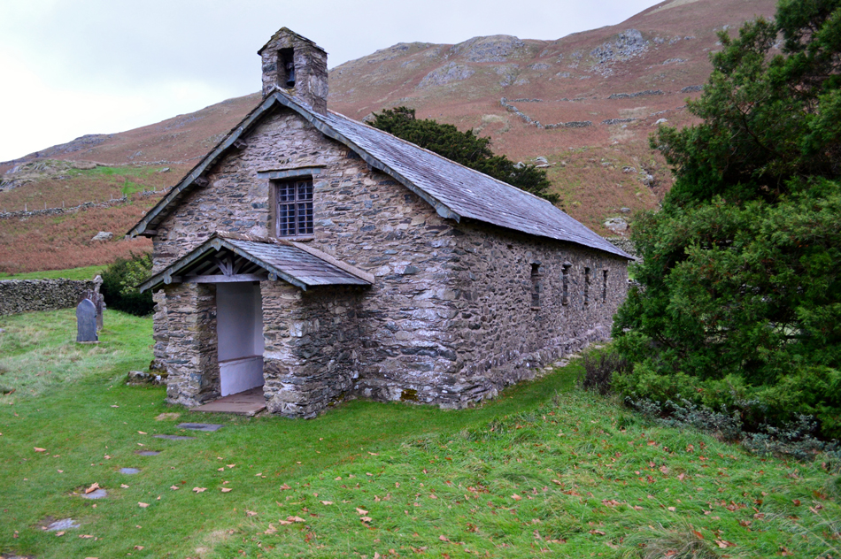 |
| Martindale Old Church. |
| Within minutes of setting off the mild air had started to nip once we had descended into the valley soon reaching Martindale old Church where we stopped to take a few photos, facing the Church the empty parking spaces where we could have parked and where this walk officially starts. |
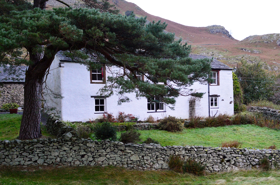 |
| Wintercrag Cottage complete with Scots Pine in the front garden. |
| Having crossed Howgrain Beck via Christy Bridge we stopped again admiring Wintercrag Cottage which is namesake to the Winter Crag found directly behind at the northerly end of the Beda Fell ridge which is where we're heading next. |
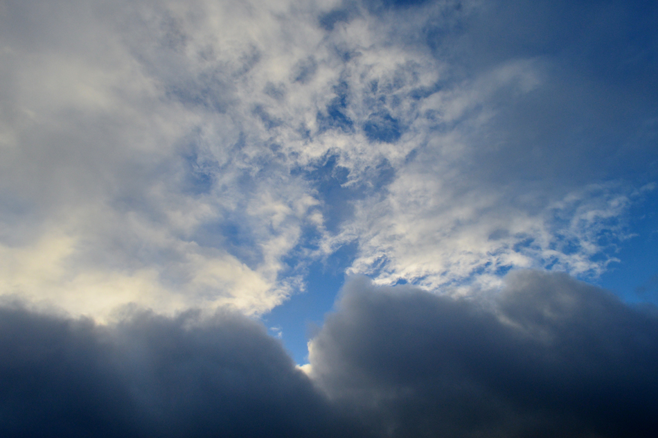 |
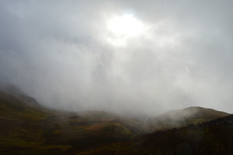
| I'm not sure what to make out of the cloud overhead. |
| We left the road and picked up the path behind Wintercrag Cottage and followed a grassy trod alongside a stone wall before finding a suitable path through the retreating bracken from where we gained Winter Crag by, it was a short but steep ascent which brought us out directly in front of the viewing bench just below Wintercrag summit which was where I took this photo from. |
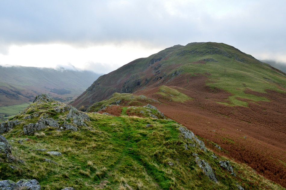 |
| Beda Fell from Winter Crag. |
| With Wintercrag gained we peered down into the Boredale valley on our right flank where we heard the distinctive sound of the Deer rutting although from our position we only managed to spot two, maybe three Deer in the field below, it wasn't to be the first, nor the last time we would hear the rutting which continued throughout most of the day. |
 |
| Clearing skies northwards as we make our ascent on Beda Fell. |
| Here looking back on Winter Crag, Hallin Fell, Little Mell Fell and Dunmallard Hill at the northern tip of Ullswater. |
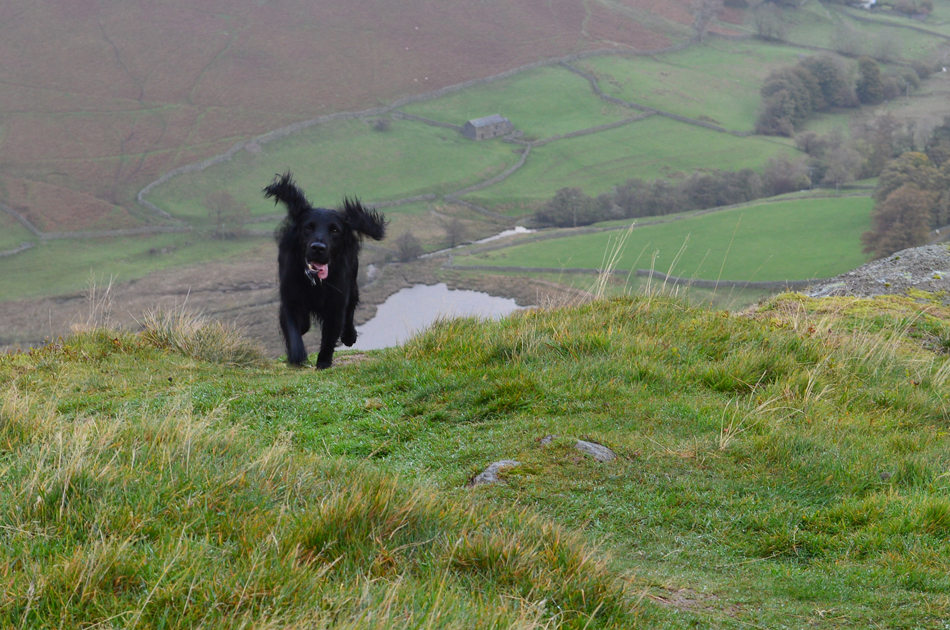 |
| Meet Pearl ! |
| Our four legged companion for the day. |
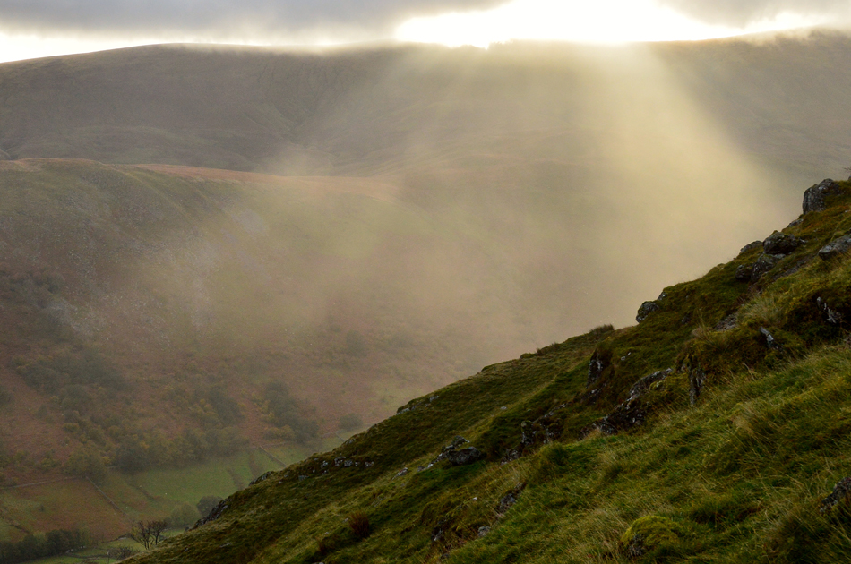 |
| Sun bursts over Wether Hill and the Martindale valley. |
| We were lucky enough to experience this fantastic light display during our ascent of Beda Fell which kinda took the mind off the prevailing winds. |
 |
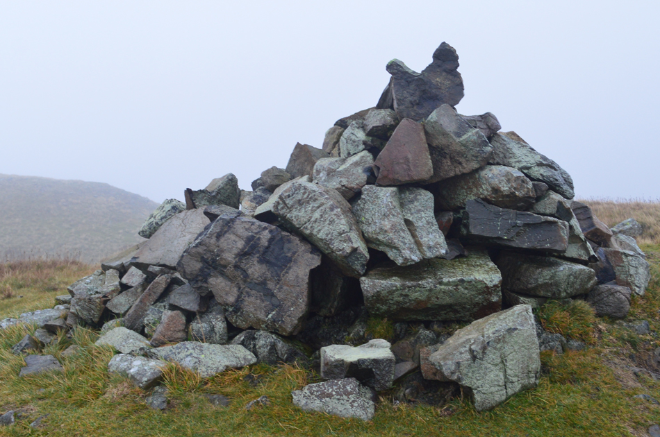
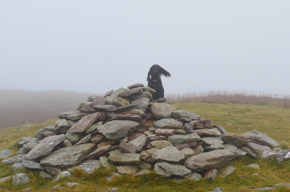
| Beda Fell summit cairn. |
| The weather started to worsen with more height gained and by the time we arrived at the summit we had undoubtably climbed into the cloud and with it, light drizzle which for now wasn't really amounting to much with the exception of the spots of rain which were being carried by the strengthening summit winds. It was time to add my gloves and beanie. |
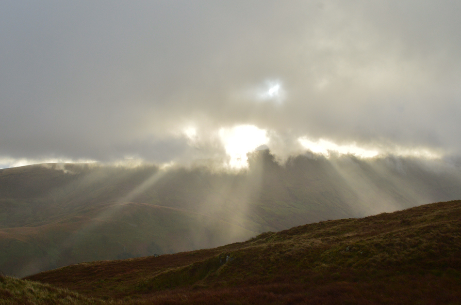 |
| Magical bursts of light over the Martindale valley. |
| |
 |
| Continuing along the ridge towards Bedafell Knott. |
| We left the summit and followed the ridge in a south westerly direction where we seemed to remain below the cloud but for how long we wouldn't know. Up ahead and in the far distance (in cloud) is Bedafell Knott which is where we're heading next. |
 |
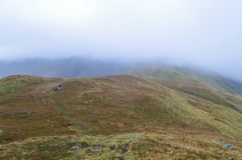
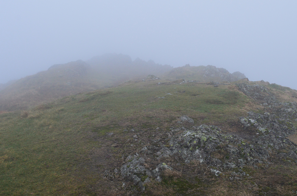
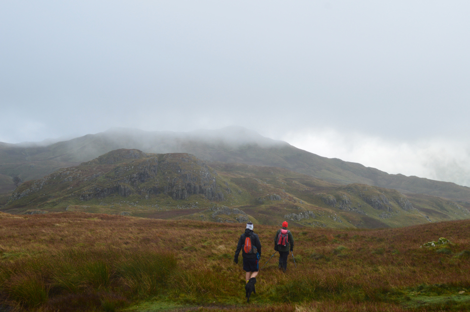
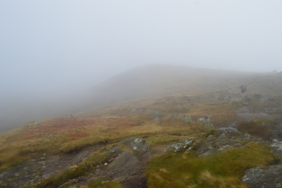
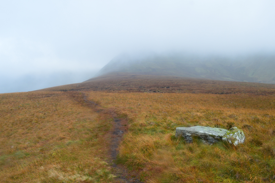
| Closing visibility on route to Angletarn Pikes. |
With Bedafell Knott gained and behind us we continued to follow the path ignoring the path which branches off right, then descends towards Boredale Hause which at least gave us a fix on our location as the cloud continued to close in leaving us at times in zero visibility.
Tim and Pearl were just twenty yards ahead of Rod when I took this photo and even though you can't see them they are there. |
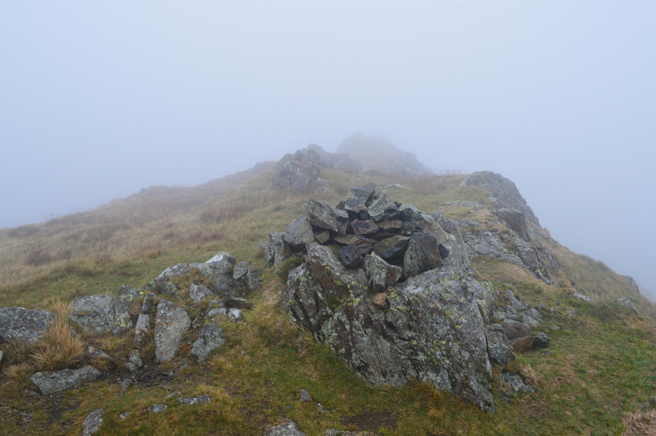 |
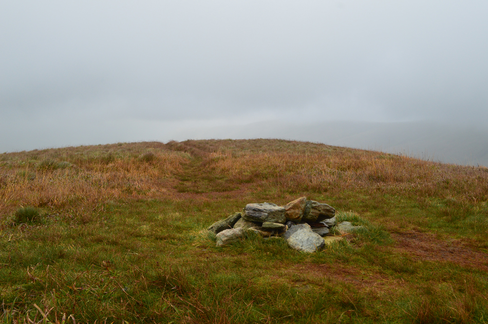
| Angletarn Pikes South top at 1,853 ft / 565m |
Against Birketts oringinal route we wrongly arrived at Angletarn South top first this, after negotiating near zero visibility where we found ourselves heading to far south in the direction of Angle Tarn, after checking our position we realised our error and started to back track arriving at the south summit first which was confirmed by the substantial summit cairn which the north, the higest by just six feet sadly lacks.
With the south summit confirmed we descended sharply into the grassy col where we picked up the path for the north top. |
 |
| Angletarn Pike North top at 1,859ft / 567m |
| Having crossed the grassy col I passed the spot below the summit where last Summer I remembered stopping for lunch, back then the sweat had dried over my forehead and my lips had that sticky goo you get when your on the verge of dehydration, my memory was a world away from today. |
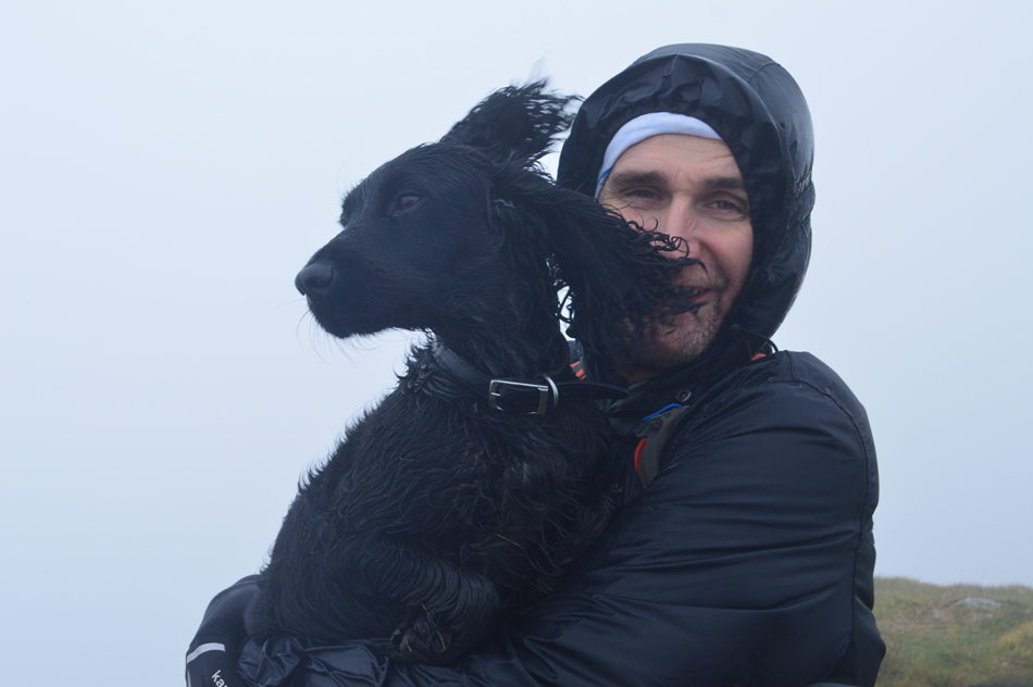 |
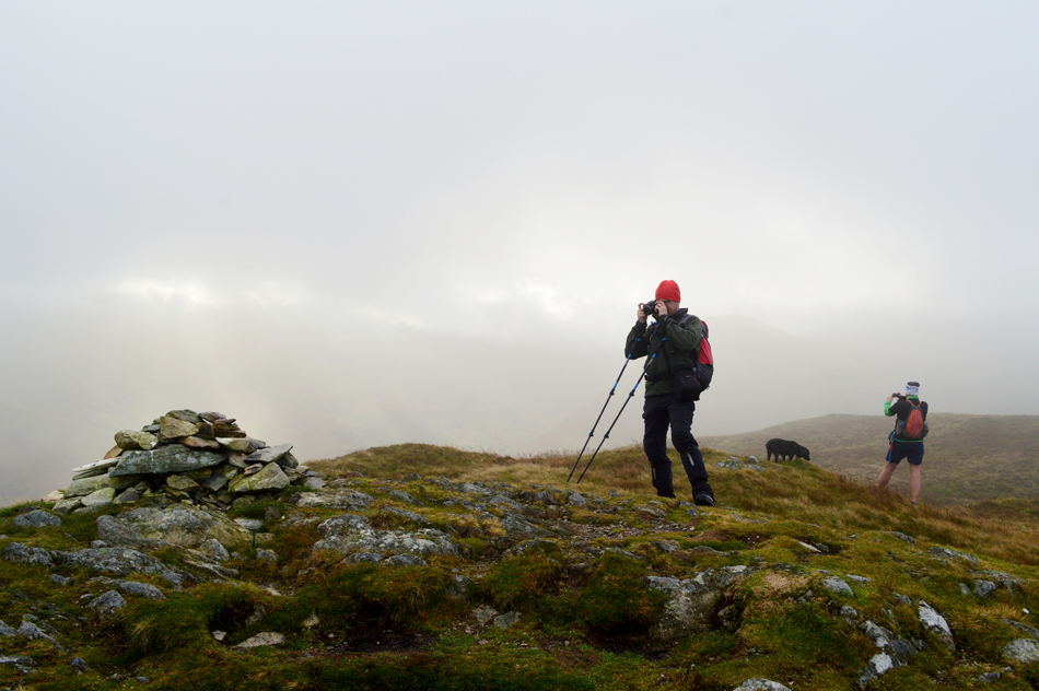
| Tim and Pearl, Angletarn Pike North top. |
| Care had to be taken during the familiar rocky climb towards the summit due to wet rock but we all made it safely including Pearl who by now took on the elements in her stride. Pearl has only been with Tim for the last four months but as you can see their bond is undeniably strong. |
 |
| Angle Tarn with Brock Crags in the distance. |
We descended Angletarn Pike north top back into the grassy col and through a break in the cloud we spotted the main path and made the short, pathless traverse to gain it by. Moments later we found ourselves over looking Angle Tarn as the cloud raced over our heads. It had remained relatively dry and we were counting on this to continue, the wind however, we could do nothing about. |
 |
| That's Cat Crag in the foreground with Brock Crags in the distance. |
| From the path instead of navigating around the Angle Tarn our route descends before crossing Angle Tarn's outflow, we then rise steeply then steadily flanking Cat Crag to our left. As expected the ground around Brock Crags is notoriously boggy which made the steady ascent feel much harder than it should have. After passing through marsh the path flanks right and ascends the last few yards steeply below the summit. |
 |
| Brock Crags summit cairn. |
| During the last few yards of ascent we heard voices who turned out to be from two couples making thier descent, after sharing 'mornings' they descended towards Angle Tarn and they disappeared into the cloud just as quickly as they emerged from it. |
 |
| Leaving Brock Crags summit via the familiar bogs! |
| There was no need to hang around at the summit where we all agreed was the most exposed and therefore, the windiest summit we'd visited up until now. After taking a few photos we descended south easterly passing the two familiar pools which just faded into the mirk of low cloud, high winds, bog and mud. We were at the furthest point and any step forward from here took us closer back to Martindale. Tim proposed we stop for a rest and we all agreed the stone wall along the top of Satura Crag would be the driest, and best place to take a break. |
 |
| Cloud beaking over the top of Prison Crag. |
We hadn't quite made it to the stone wall when we were presented with a sudden break in the cloud followed by an equally sudden dash of light, it was a real highlight for us all.
Through the break in the cloud we could see the stone wall ahead and slowly but surely the two iconic gate post at the top of Satura Crag rose into view. We strode out passing three cheery women who in passing said something but sadly I couldn't hear what over the nose of the wind, polite smiles followed. |
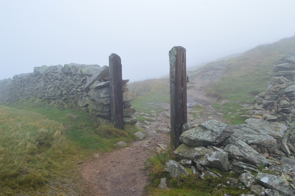 |
| The familiar gate post over Satura Crag. |
| Time for a quick photo before locating a suitable respite from the wind. |
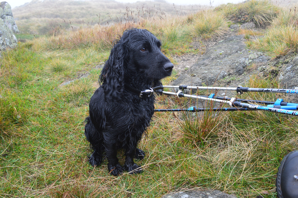 |
| Pearl patiently awaits orders while we take a short break, Satura Crag. |
| We started to encounter more walkers over Satura Crag most of whom took a brief look up or twitched their hoods for acknowledgement, having found a spot where previously three flat stones had been left we de-shouldered and dipped our bodies behind the wall. The difference our shelter made was incredible, now we could sit in comfort while the wind roared just inches above our heads, it was positively delightful to be sat there. |
 |
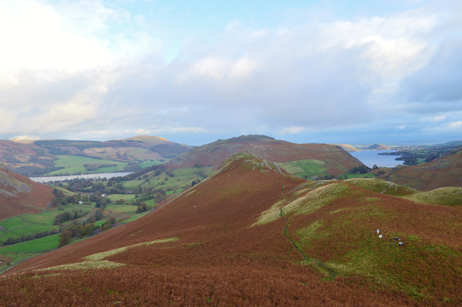
| Rest Dodd appearing through a break in the cloud from the top of Satura Crag. |
| Re-shouldered, our break from the wind was now over, I'm sure Tim and Rod would agree that the wind was at its strongest leaving uncontrolled side steps that only a strong gust can cause. Up ahead the path breaks left at a familiar junction, bearing right here would lead you towards The Knott by -passing Rest Dodd, we keep left. |
 |
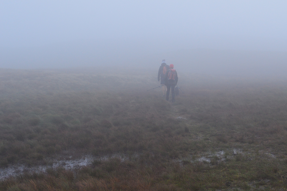
| What direction is the wind blowing Pearl!! |
| With a strong wind on our right flank we steadily gained Rest Dodd mostly in single file, and mostly in silence owing to the fact that we couldn't hear one another even if we wanted too! Having gained the shoulder the first of two summit cairns appeared, the furthest being the actual summit where Pearl conquered Rest Dodd by standing on the summit cairn, then subsequently posed for a photo. |
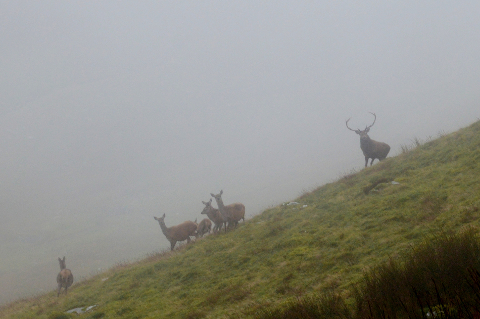 |
| Wild Deer, North (nose) of Rest Dodd. |
| Having left the summit of Rest Dodd bound for The Nab we started to descend the north nose of Rest Dodd where the wind had dropped and a sudden calm descended. Over to our right in the valley of Rampsgill we could hear the Deer rutting once again but this time it sounded much closer, during descent I stopped Rod and said "I'm sure the Deer are just beyond this grass ridge" with that we strode just twenty steps and we were stopped in our tracks as a small herd which included a male Stag looked back at us, seconds later they disappeared into the valley but I did managed this grainy image before they bolted. |
 |
| The Nab is ahead. |
| With its notorious peat bogs too, keep right as the footpath suggest. |
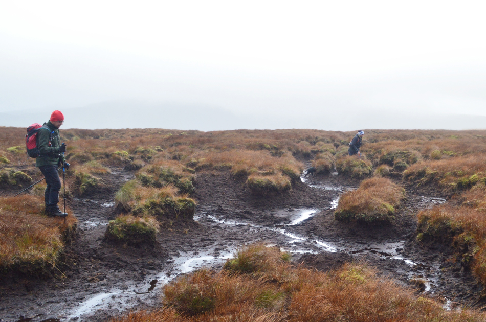 |
| Rod and Tim negotiating the peat bogs. |
Having passed through a bog I was about to place my left foot on firm ground when without warning my left calf went into a excruciating cramp, I say without warning as I lifted my leg I felt the muscle tighten causing me to fall forward on all fours, as funny as it looked I was in a lot of pain while trying to reassure the guys It wasn't anything more serious so after screaming like a six year old girl Rod ran over asking which one "left left" I screamed, Rod subsequently began to massage my calf which caused more pain initially which did ease soon after. I can confirm twenty four hours later my left calf is still extremely tender.
"at least you didn't scream like a big girl eh Paul" thanks for that Tim !! |
 |
| Looking back on Rest Dodd. |
| Taken just below The Nab summit. |
 |
| The Nab summit. |
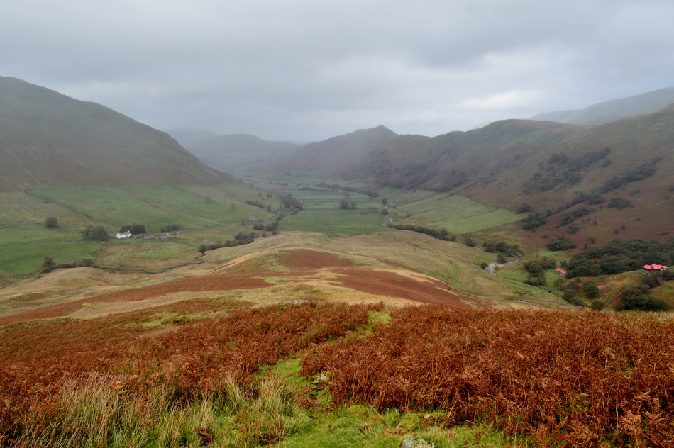
| I think both Rod and Tim would agree that it was probably as wet during the short ascent to the summit as it was while crossing the peat bogs. Further back we had seen two people standing at the summit who by now were making their way down the nose of the fell. The wind had picked up again but it was nothing compared to what we had experienced over Satura Crag so we set about talking about choosing the best descent. Birkett's route would have descended by swaying left directly from the summit thus avoiding the steep crags and cliffs of Nab End but this path was difficult to locate so instead we opted to continue towards the top of Nab End before making a pathless descent left. |
 |
| Descending The Nab. |
| Both Rod and I eventually located the path to the left which possibly could have been used by Deer stalkers in times gone by, the path then swings right and falls in line with the nose of the fell below Nab End before we passed through a gate at a stone wall. By this time we had left the wind confined to the summits leaving the final part of the descent to be done in a relative calm. |
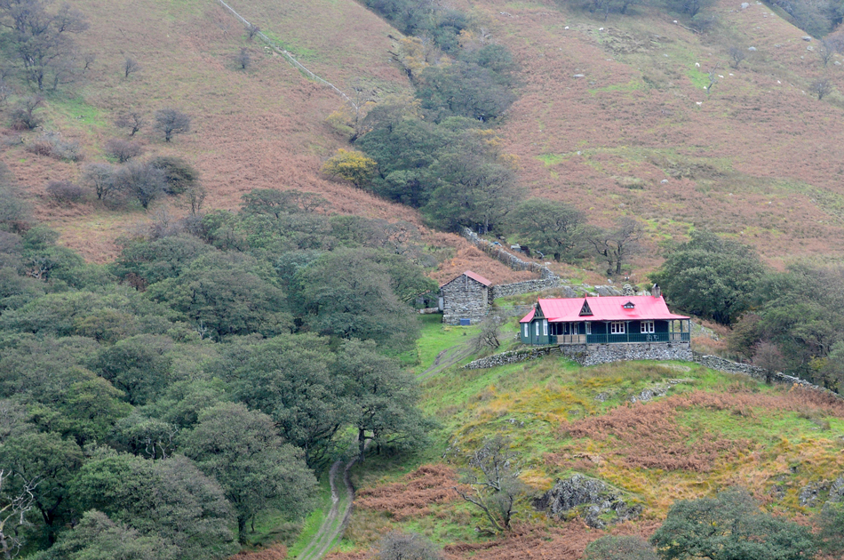 |
| The Bungalow, Martindale. |
| The Bungalow was formerly a shooting lodge built in 1910 by the Earl of Lonsdale for the visiting Kaiser Wilhelm for the Martindale Deer shoot. Today the Bungalow is a self-catering holiday cottage and its distinctive red roof can be seen for miles around. |
 |
| Looking back on The Nab, Beda Fell and Winter Crag as we head back to Martindale new Church. |
| It was almost a two mile walk back to Martindale new Church which we did while reflecting on how much we had enjoyed todays walk were we had been exposed to the Autumnal elements of Lakeland, the sound of wild Deer rutting and of course our brief encounter with a male stag. After passing two large groups we passed Wintercrag Cottage and stopped once more on Christy Bridge while taking in one last view of a mirky Nab almost two miles down the valley. |
|
| |
| Back to top |
 |
|