Walking the Birketts, Martindale Edge

16th September 2018

With the unsettled weather continuing together with work commitments I had all but written this weekend off, but I took my pack to work anyway safe in the knowledge that should the forecast change as it often does this time of year I might just head to the lakes after clocking off around lunchtime.

After a busy morning in work I checked the forecast again which if anything had deteriorated even more with drizzle and low cloud forecasted, that was it, my trip north had to be cancelled which was a tiny blessing in disguise as I was more tired than a tired thing and I could have done the rest my free afternoon now gave me.

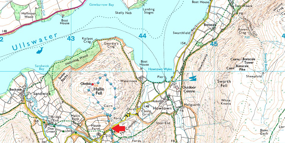
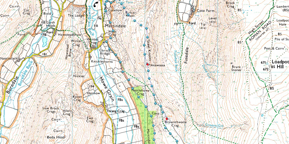
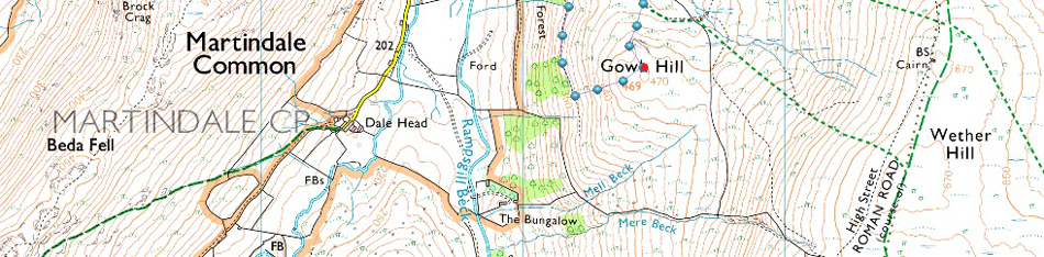
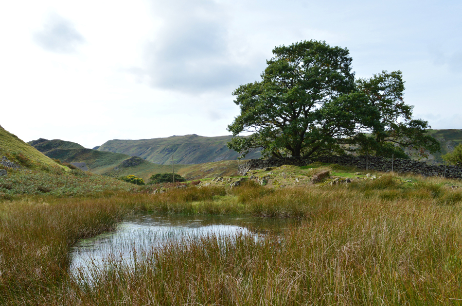
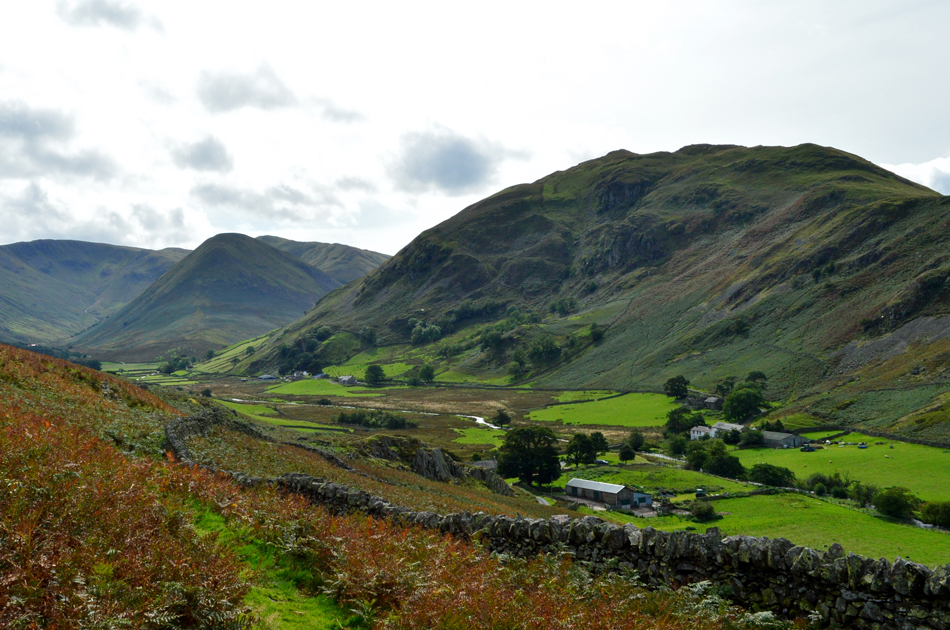
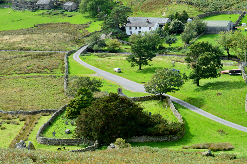
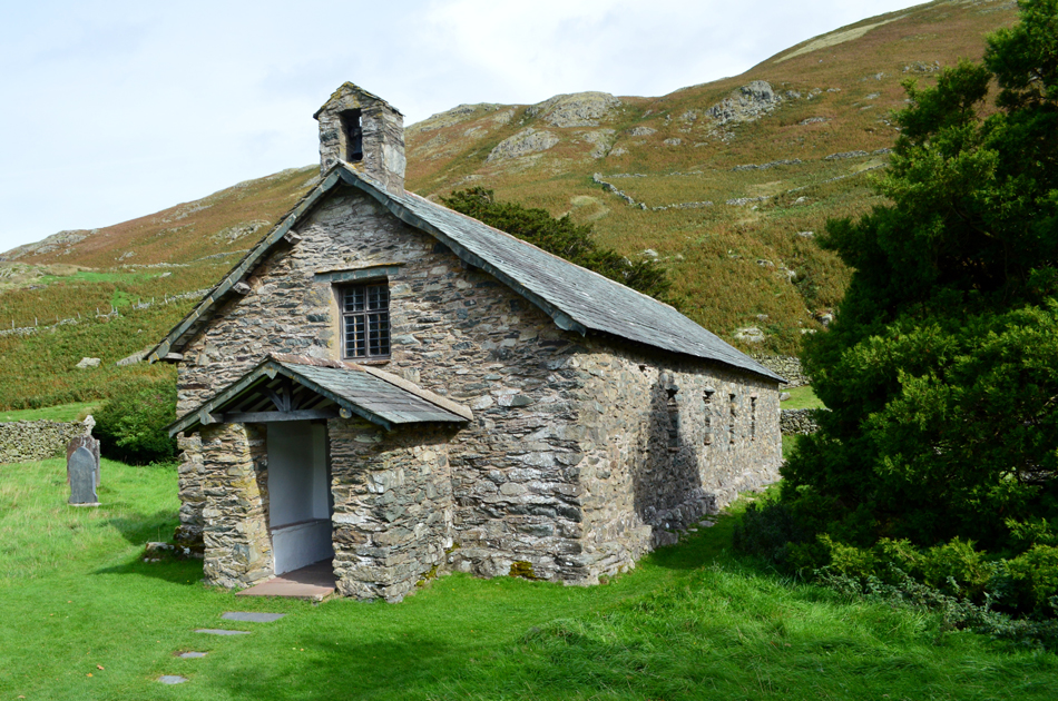
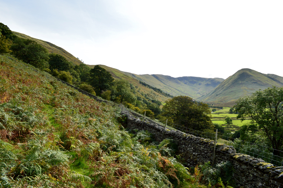
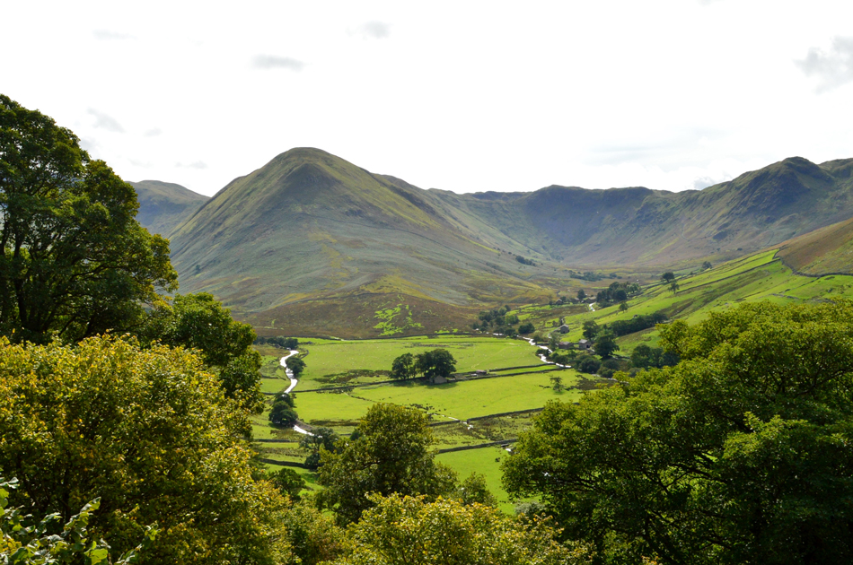
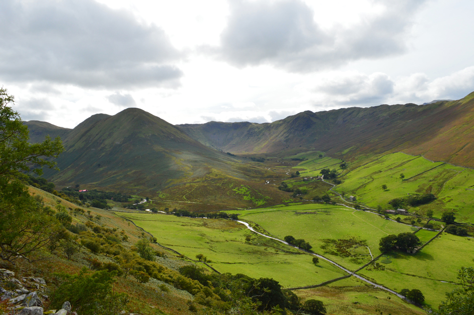
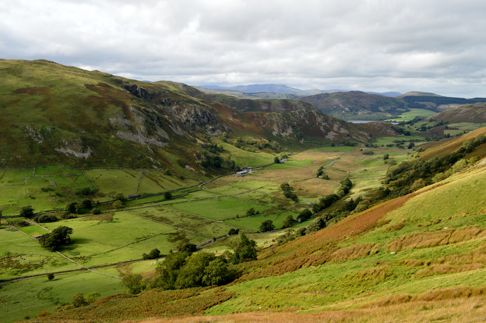
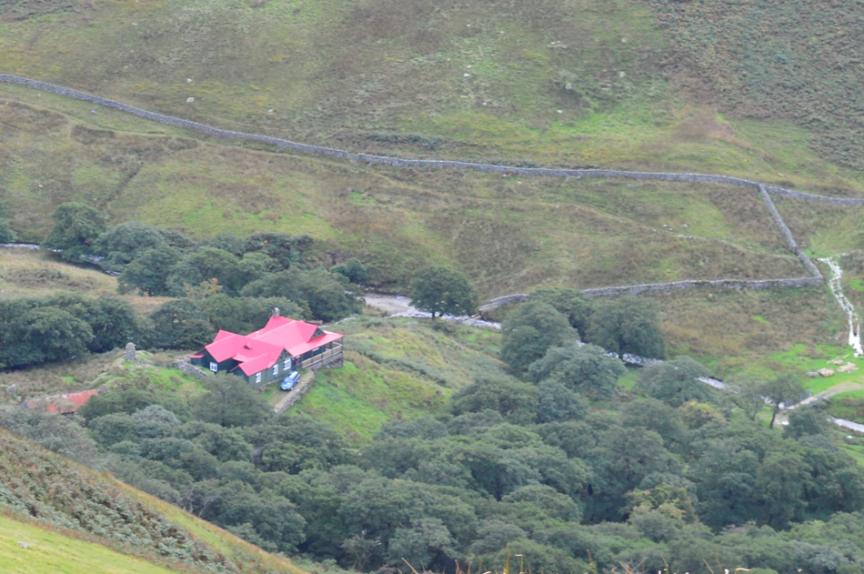
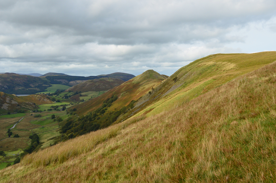
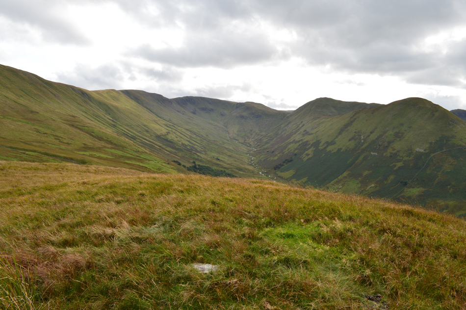
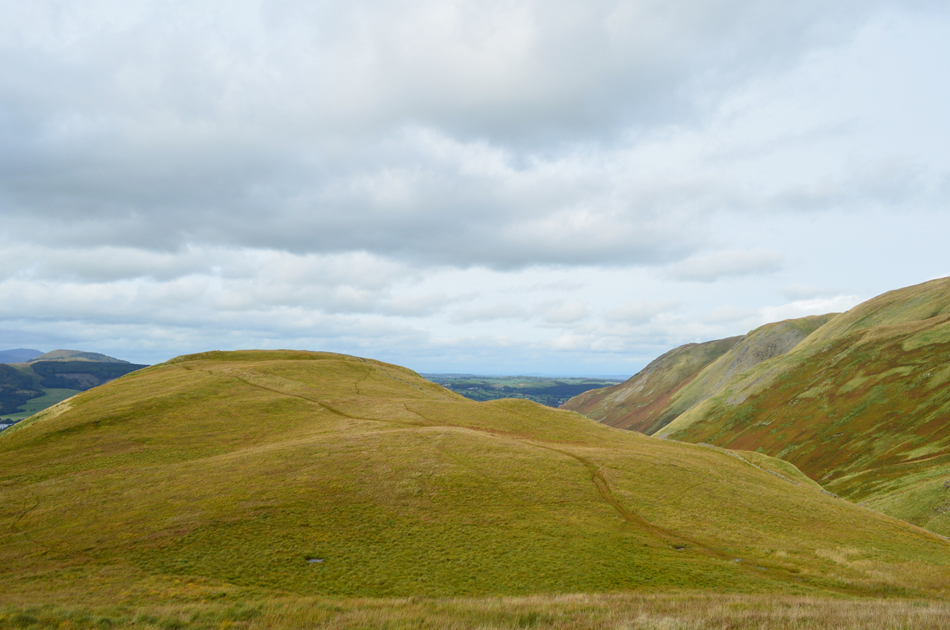
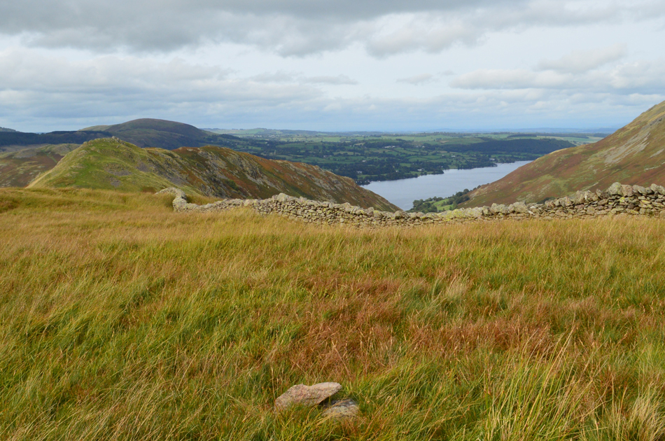
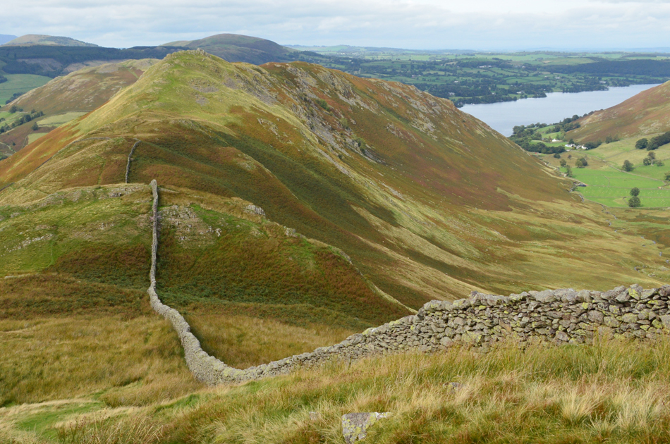
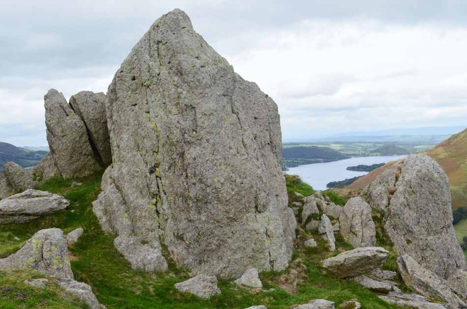
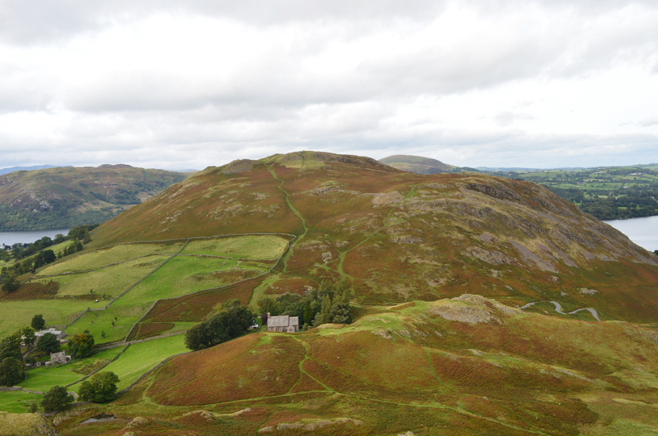
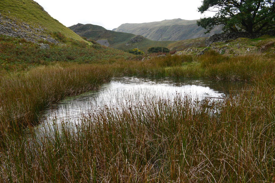
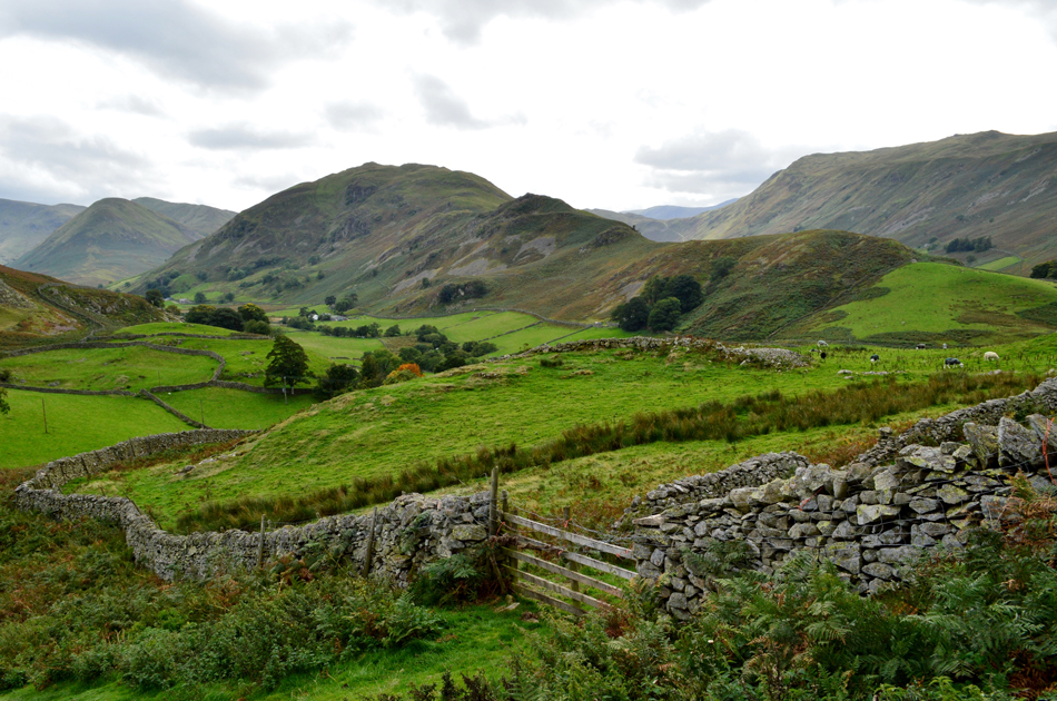
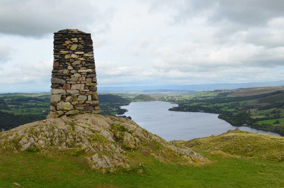
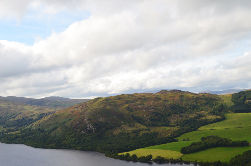
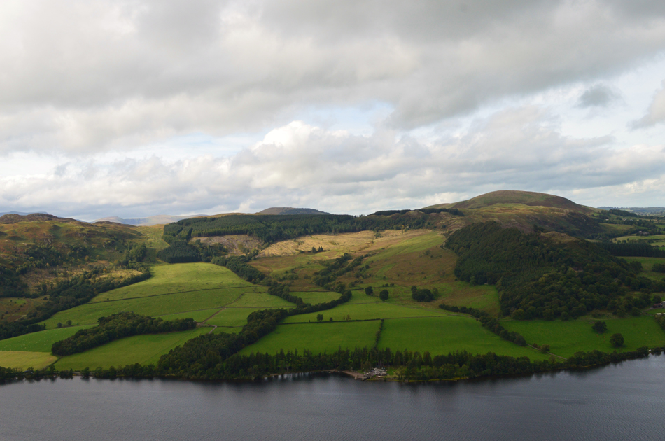
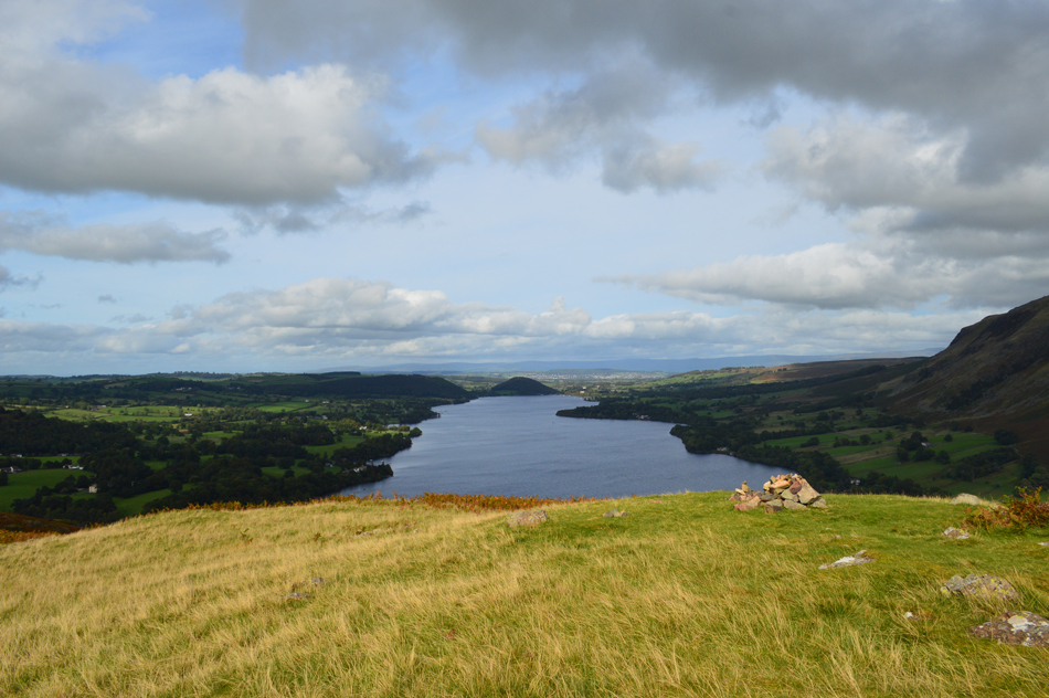
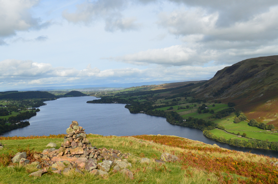
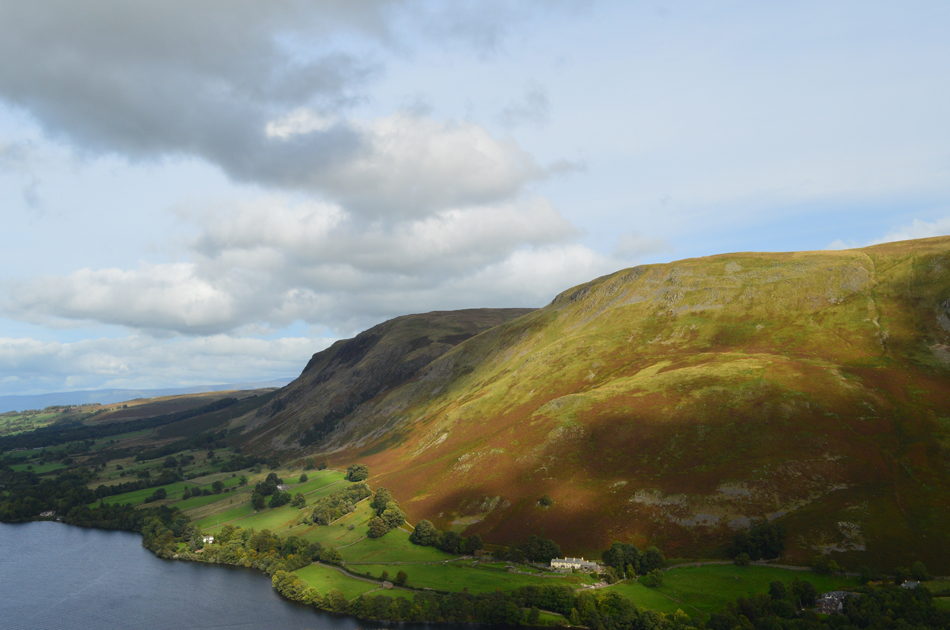
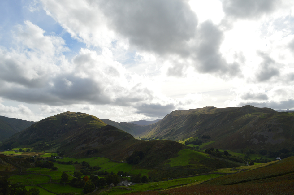
The forecast for Sunday was as unsettled so I didn't bother to check it until I glanced at it Sunday morning where I noticed a weather window from noon onwards, with my gear still in my car all was left was to pack some lunch which I bought from the local Tesco's and by 11:15am I was heading north towards Martindale on a gem a walk that Bill Birkett named 'Martindale Edge'

 
The Complete Lakeland Fells
By Bill Birkett

-Martindale Forest The Forest is now a thin natural wood of hardy deciduos trees. The path rises to cross a bank of slate and passes the opening marked on the 'OS map as 'cave'.


Overview
Ascent: 1,545 Feet - 471 Metres
Birketts: 4, Gawk Hill - Brownthwaite Crag - Pikeawassa (Steel Knotts) - Hallin Fell
Weather: Feeling Mild. Partly Overcast With Some Sunny Spells. Highs of 17°C Lows of 15°C
Parking: Car Park, Martindale New Church
Area - Group: Far Eastern - E/MAR
Miles: 5
Walking With: On My Own
Ordnance Survey: OL5
Time Taken: 3 Hours
Route: Martindale New Church - Lanty Tarn - Martindale Old Church - Martindale Forest - Gawk Hill - Brownthwaite Crag - Pikeawassa (Steel Knotts) - Birkie Knott - Lanty Tarn - Hallin Fell - Martindale New Church
 

Map and Photo Gallery


Martindale New Church, Martindale 12:55pm 15°C

Having left home in the pouring rain it felt like I was really taking a gamble on todays forecast which thankfully paid off as soon as I could see clearing skies over the southern fells from M6 south of Lancaster, this was a good sign. The skies continued to clear, in fact I was hard pressed to find any puddles in the road leaving me thinking had it rained this morning at all certainly around the Penrith area. My nerves now began to grow as I drove towards Pooley Bridge thinking I would be able to park at Martindale Hause so I hastily hatched a plan B walk where I would take in Heughscar Hill from Pooley Bridge, thankfully my plan B walk was never needed where on arrival at Martindale New Church I indeed grabbed the last parking spot opposite the Church although had I hadn't, there were spaces on the Church car park just opposite.

I couldn't make up my mind as both wind and showers hadn't been ruled out for the afternoon so I packed my waterproof jacket having already opted for my long walking trousers which came to be a wise decision which I'll get to later. It was mild and breezy as I left the car and crossed into the Church car park before stopping to take this photo of Martindale New Church.

From the Church I kept right and followed a stone wall towards Lanty Tarn.


Beda Fell and Place Fell from Lanty Tarn.
Todays walk will see me head into the heart of the Martindale Valley not via the road but via the the hill side below Steel Fell, Brownthwaite Knott and Gawk Hill. The path I will be using will be gained from Lanty Tarn below Berkie Knott before descending into the Martindale Valley towards the Old Church from where I'll pick up a narrow, steep sided path toward Gawk Hill via Martindale Forest, a path that I've never used before.

Views over the Martindale valley towards Beda Head, The Nab and Rest Dodd.
The path first follows the stone wall through bracken before descending towards Martindale Old Church which is close to the large tree in the centre of the photo.

Looking down on Martindale Old Church with Christy Bridge and Wintercrag Cottage just beyond.
Visiting the Old Church isn't on todays route but I'm sure Mr Birkett wouldn't mind if I detoured slightly.

Martindale Old Church.
 

The Richard Birkett Tomb.
I have always been somewhat fascinated by the Birkett Tomb for which I have my reasons which lies beneath a 1,300 year old Yew Tree whose drooping branches provided the wood for the bows which were used in the War of the Roses.

Martindale Old Church.
It is though that a Chapel or alter has stood at this site as far back as 1220. The present building dates back to around 1541 and in 1714 the earth floor was replaced by the stone flags you see today.

Exposed ceiling beams.
Which were replaced after the last restoration in 1882.

Continuing to follow the stone wall.
Having left the Church I stepped back into the sunshine and picked up the narrow path around the rear of the Church which started to climb steadily as I headed towards Martindale Forest which is the wooded area on the west flank of Brownthwaite Crag. Up ahead, the first of two Deer Fences are passed through via a wooden gate.

Splendid views into the micro valley of Bannerdale with The Nab seen left and Heck Crag seen right.
At the head of the valley the apptly named Heckbeck Head.

Passing the cave, Martindale Forest.
Birkett did mention this cave which is marked on the OS Map simply as 'Cave' which leads me to believe that I am at least on track! Sorry no time to explore.

The Nab and Rest Dodd with the valleys of Rampsgill seen left, and Bannerdale right.

Having left the comforts of a wide path to nothing more than a sheep trod in places I found myself picking my way across the steep sided hillside, through bracken and several banks of slate, this was awkward and slow ground to be covering and care had to taken mainly due to erosion and in some cases, land slip.

The views however, more than made up for this.


The view back through the Martindale valley.
Taken between Brownthwaite Crag and Gawk Hill.

The Bungalow.
Made famous by its legendary red roof.

Climbing the steep flanks of Gawk Hill with views extending back towards Brownthwaite Crag and Steel Knotts (Pikeawassa)
Once above the Bungalow was my key to start the steep pathless ascent on Gawk Hill, it was much steeper than I had anticipated, phew wee!

Rampsgill from Gawk Hill summit.
This photo reminded me of the last time I was on Red Crag which is the ridge seen in the left of the picture, the ridge continues onto High Raise and finally Rampsgill Head seen at the head of the valley all of which form part of the High Street Roman Road.

Descending Gawk Hill for Brownthwaite Crag.
It's a simple case of picking up the path seen right before heading further right towards the stone wall.

Just a couple of stones mark the summit of Brownthwaite Crag summit.
That's Steel Knotts in the distance which is where I'm heading next.

Descending Brownthwaite Crag for Steel Knotts.
The views are really starting to open up now I just wish the sun would come back out.

Steel Knotts (Pikeawassa) summit.
No need for a cairn here!

Descending Birkie Knott.
With views over Lanty Tarn, Martindale New Church and todays final summit of Hallin Fell.

Lanty Tarn.
I'm sure I've been here before.

Beda Fell and Winter Crag from the ascent of Hallin Fell.
Having left Lanty Tarn for the second time I crossed the Church car park which was busy with mountain bikers before taking on the ascent of Hallin Fell, they say toddlers can climb Hallin Fell in their slippers so why does it feel so steep!!

Ullswater from the Obelisk, Hallin Fell.
Joking aside I persevered with my ascent and even managed to pass three walkers who I had seen start the ascent from my descent of Birkie Knott before arriving at the summit. It's by now 3:45pm and I figure I've earned myself a late lunch.

Lunch with a view.
Gowbarrow Fell seen over Ullswater.

And further north...
...we have Great Meldrum seen with Little Mell Fell (Left) and Great Mell Fell (Right)

Lovely crisp light here and there.
 

Ullswater seen with Dunmallard Hill beyond.
 

Arthur's Pike and Bonscale Pike seen above Mellgaurds.
Ok, time to call it a day and head back down.

Early evening light seen here over Beda Fell, The Boredale Valley and Place Fell.

Cloud had started to build in the little time it took me to descend the flanks of Hallin Fell which created a very nostalgic, early evening atmosphere to the walk which came to an end back at my car parked back at the hause, a few cars had already left and a couple who I had seen back at the summit having just made their descent removed their boots at the back of their car. As I untie my boot laces I look down at my arms that bare the markings of sunburn, sweat and dare I say the polka dots around the tops of my arms left behind by the dip in temperature I felt between Gawk Hill and Steel Knotts.


Back to top