|
Walking the Birketts, Bannisdale Horseshoe |
 |
 |
1st August 2018 |
 |
|
I'm not good at doing nothing, I get fidgety, I get restless and as you can probably tell I bore easily and after spending last weekend in the house due to a poor forecast I was itching to get boot back onto fell, it wasn't just me getting under the feet both Rod and David was to meant of joined me on this walk last weekend and earlier this week Rod emailed to ask did we fancy giving it another go the weekend coming. By Monday morning my Lakeland withdrawal symptoms were at their peak so before I even switched my computer on I asked my boss was I ok booking Wednesday off, why he asked? didn't walk I I answered, the bosses eyes rolled to the top of his head followed by "where you going" and that was it, I had my day off. I cleared it with Rod and David would they mind I do the Bannisdale Horseshoe without them and they returned my email with "no problem" "having Bannisdale to yourself on a Wednesday David said, would capture everything the valley is all about" go for it. With work being so busy I hadn't given anytime to craving a little solitude, I guess I've been in 'work mode' but that peaked along with missing my fell time last weekend, I simply had to get out and put my cravings to rest and after today, I owe a debt. to the Bannisdale valley. |
|
| The Complete Lakeland Fells |
 |
| By Bill Birkett |
-The view extends to the Howgills,across Morecambe Bay to Blackpool Tower and then west over Longsleddale to the Scafells |
|
|
|
| |
|
Overview |
|
|
| Ascent: |
2,180 Feet - 664 Metres |
| Birketts: |
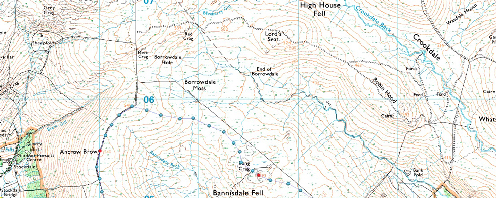
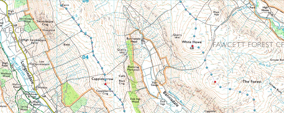
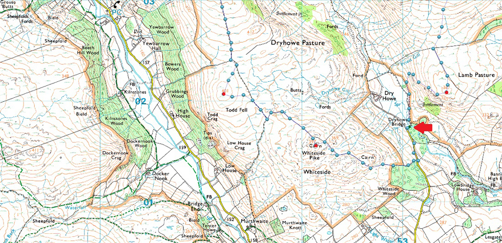
8, Whiteside Pike - Todd Fell - Capplebarrow - Ancrow Brow - Long Crag (Bannisdale) - White Howe - Borrowdale Head - Lamb Pasture |
| Weather: |
A Bright Start Turning Cloudier Around Midday. Cooler Than Late. Highs of 22°C Lows of 14°C |
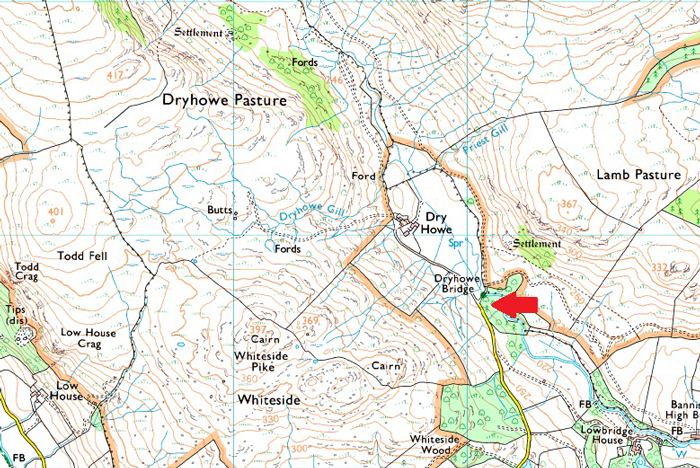
| Parking: |
Dryhowe Bridge, Bannisdale |
| Area - Group: |
Far Eastern / ESHA |
| Miles: |
9 |
| Walking With: |
On My Own |
| Ordnance Survey: |
OL7 |
| Time Taken: |
5 Hours 45 Minutes |
| Route: |
Dryhowe Bridge - Whiteside Pike - Todd Fell - Capplebarrow - Ancrow Brow - Borrowdale Moss - Long Crag (Bannisdale) - White Howe - Borrowdale Head - Lamb Pasture - Dryhowe Bridge |
|
| |
|
Parking Details and Map |
|
|
| Nearest Post Code: |
LA8 9JY |
| Grid Reference: |
NY 531 107 |
| Notes: |
Parking at Dryhowe Bridge is limited to just two, possibly three well parked cars. Further back up the lane before the top of the brow is reached there is a grass lay by with space for two vehicles. My advice is to arrive early to avoid disappointment. Parking is free. |
|
| |
|
Map and Photo Gallery |
|
|
 |
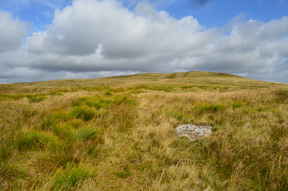
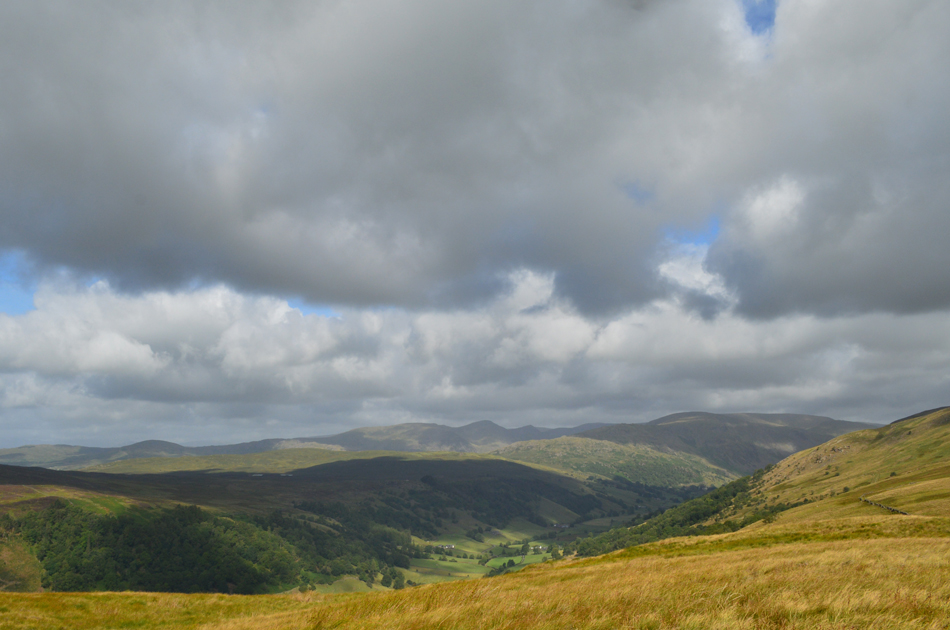
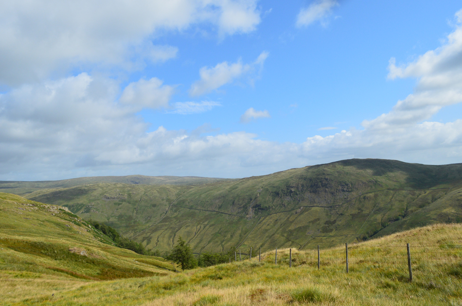
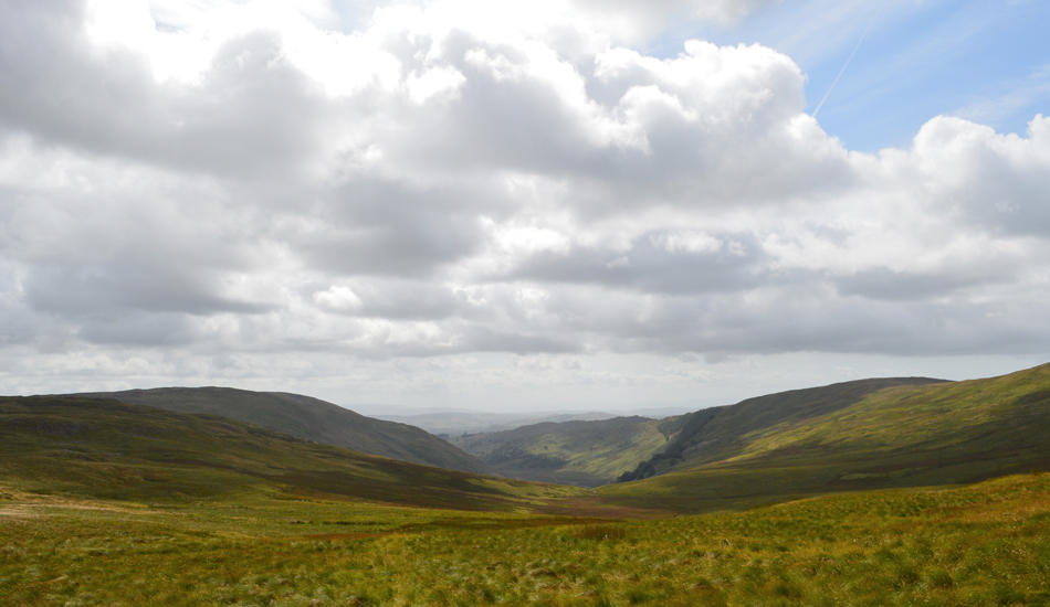
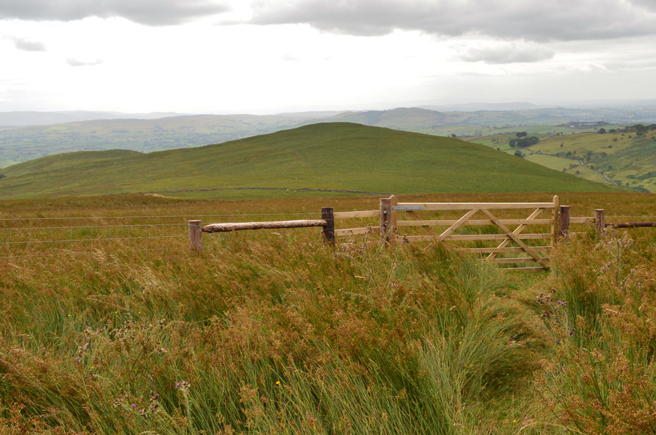
| Views over Dryhowe towards Borrowdale Head (The Forest) Bannisdale 09:00am |
With the best of the forecast reserved for the morning I left home around 7:00am and arrived in Bannisdale just an hour and a half later still not quite believing that it takes just as long to do my morning commute to work. After leaving the A6 I followed the narrow hedge lined lane before arriving at Dryhowe Bridge where I was surprised to find myself behind a queue of construction traffic, up ahead my would be parking spot had been taken over by a transit van with orange beacons flashing on the roof while workers in high viz jackets wondered about, it was clear despite not knowing what was going on that I wouldn't be parking at Dryhowe Bridge this morning. Luckily I had spotted a grass verge about 350 yards back up the lane which I had to reverse to while the workman looked on, great an audience.
Having tucked my car into the verge I checked my location on the map and found that I had actually reversed past the point at which I would gain the hill side. The morning air is cooler than of late but it's bright and better than I had expected. Today I'm wearing in a new pair of Scarpa Delta boots which up until now I'd only worn during local dog walks, it's my first pair of Scarpa's and I was hoping they'd live up to their high expectations. With my car locked I headed back down the lane towards a gate and a steep wall which climbed the fell side over on the left, a knotted rope secured the gate closed and through bracken beyond I could see a trail had already been blazed. To the left of the gate, a post minus its sign which I am told used to read 'Private Land' On closer inspection of the rope I could see that it had been tied using a large knott, the grass below the gate hadn't been disturbed for weeks which told me this gate is rarely opened. Ok, I'm not one to walk over Private Land and after checking with my pocket Birkett Fells book it was clear I was in the right place, perhaps when Bill Birkett walked this round it was open land or perhaps he didn't give it a thought to mention, either way I need to scale this gate which I did hastily. Rod had forewarned me about the sign and like a school boy I picked my way through the steep sided hill side not wanting the farmer to see me whilst wading through thigh high bracken all the while keeping the stone wall to my left. The fell side steepens below a cairned knoll which Birkett mentioned, at least I thowt, your in the right place. |
 |
| White Pike (Bannisdale) is up ahead. |
| At only twenty minutes into the walk I had already worked up a sweat and felt thankful at least that I had left the bracken behind. Having gained the ridge I spotted White Pike's summit column which stood out on the horizon, it was here I got the first taste of how rough this route actually is with only traces of paths to follow mainly over rough, uneven ground. The lack of paths here wasn't news to me, this is a walk where you have got to come prepared for a tough day on the fells while experiencing a new meaning to the words remote and solitude. |
 |
| White Pike (Bannisdale) |
| Having followed a path alongside the stone wall I arrvied at a point where I needed to branch left, up ahead a break in the wall allowed access towards the grassy knolls below the summit before a short, but steep climb to the summit cairn. |
 |
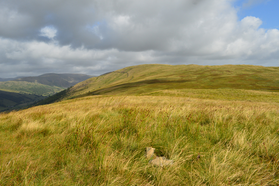
| Todd Fell (L) and Capplebarrow (R) from White Pike (Bannisdale) |
| It's from White Pike do you get a good prospective of the ridge ahead with Todd Fell over to the left and Capplebarrow towards the right. With a visit to Todd Fell next I need to make my way towards the centre left of the photograph where the two walls branch together, here I'm lucky enough to have a discreet path to follow but please note at least 60% of this walk is rough, and pathless. |
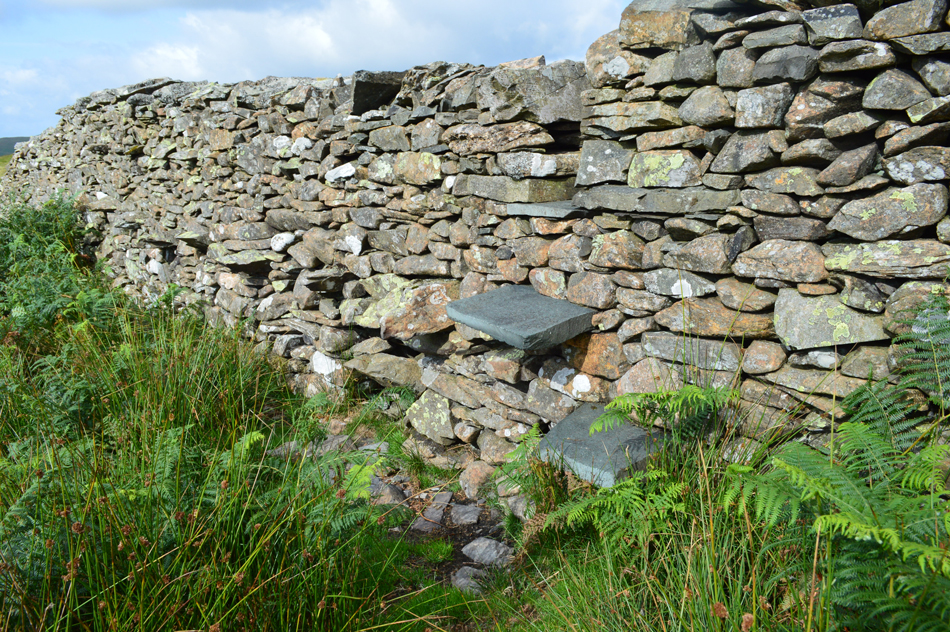 |
| Stepped stone wall. |
| Having descended White Pike the narrow path traced through patches of grass and heather, it was great to see the heather in bloom once again. On arriving at the stone wall my first feeling was yikes, that's quite a tall wall before scouring the best point on which I might have to climb over. In doing this I wandered left and came across the steps. A lesson was quickly learned in that where you might normally find such steps apparent on a more popular routes here in Bannisdale the undergrowth is king. |
 |
| Todd Fell is over on the left. |
| After crossing the stone wall I dropped into a more deep undergrowth, mainly bracken and long grass which was relatively easy to walk through. My tip here is to stay close to the wall for as long as possible, then jib left over the grassy plateau before reaching the summit cairn. |
 |
| Longsleddale and Capplebarrow from Todd Fell. |
| The dark fells to the left are Shipman Knotts, Kentmere Pike and Harter Fell (Mardale) |
 |
| This view extends as far as the III Bell Ridge. |
| With Sallows and Sour Howes seen far left. |
 |
| Capplebarrow from Todd Fell summit cairn. |
| That's Capplebarrow up ahead and what a wonderful morning it's turning out to be. In order to reach Capplebarrow a prominent path leads towards a wooden sty (out of shot in the far left of this image) It's from there I start my ascent on Capplebarrow. |
 |
| Ascending Capplebarrow. |
| Despite what you're thinking I really enjoyed walking through this long grass! |
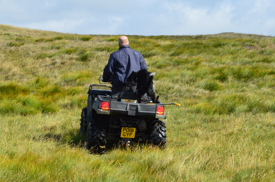 |
| Local Farmer, close to Capplebarrow summit. |
I thought I had heard something coming up behind me but with a strengthening wind paid it no attention, it was only when I heard the farmer call his dog back who by now was running towards me did I see the quad approaching, blimey that's the quietest quad I've ever heard! Well, what can I say about this farmer, a true gentleman who at first I thought I was going to get a roasting from after after starting the walk on his private land. As the quad approached I stepped aside with my hand up as if to say Hi, the farmer stopped, cut the engine and started chatting about what a wonderful day it was "come far" he asked "Wigan" I replied "aye just up for the day then?", "aye" I says "did you see all the workers down in the valley he asked?" "I did aye, they're re-routing Bannisdale Beck, only trouble is the council (laughs out loud) forgot to put in planning permission and they're three months behind, all the bloody nice weather we've had", "the becks been dry and now it looks like it'll take-em into Auntum when the beck will swell again, all this to save Kendal from flooding" he laughs, the same place where the town hall forgot to apply for planning permission! Can't mek it up!
We went onto chat for about five more minutes before he started his quad again, it was there I took my right hand from my walking pole strap and shuck his hand, I didn't get his name although his Collie was named Meg. |
 |
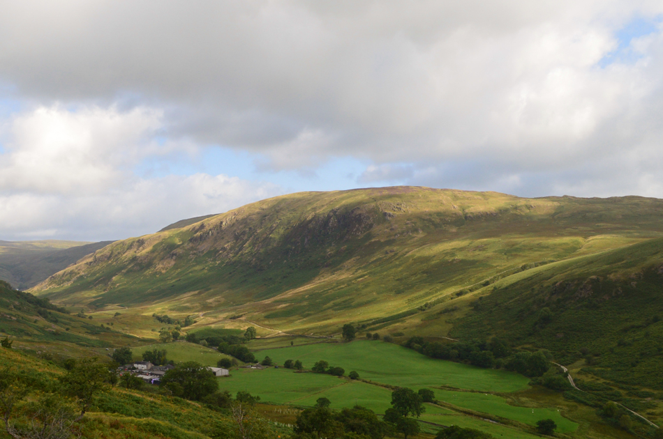
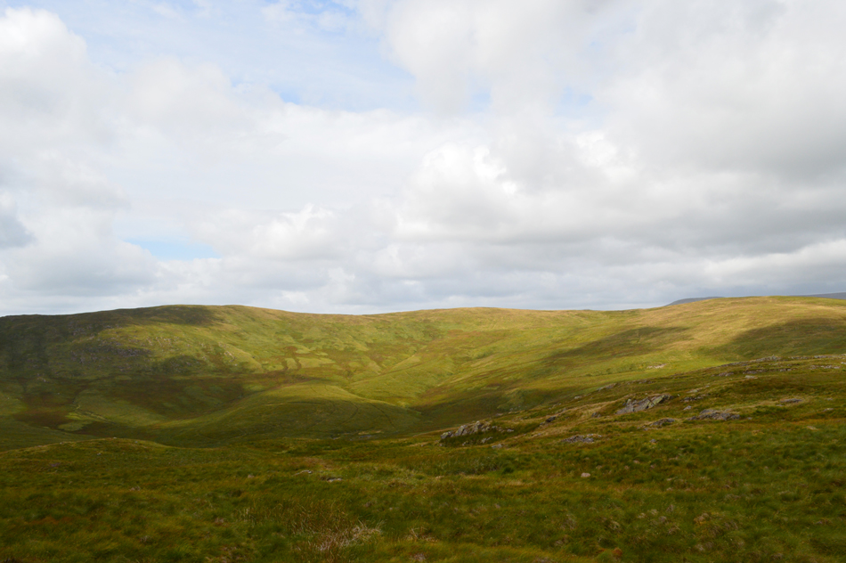
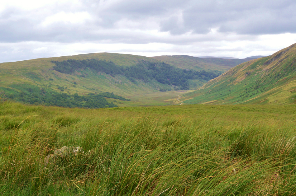
| Long Crag and White Howe seen over the Bannisdale valley. |
| Both of which I'll be returning by later in the walk. |
 |
| Shipman Knotts, Kentmere Pike, Harter Fell, the III Bell ridge and Thornthwaite Crag seen over Longsleddale from Capplebarrow summit. |
| After wading through thigh high grasses I plateaued on Capplebarrow summit, the summit cairn lies slightly west beyond a barbed wire fence, having scaled first time around on my return I cut my left knee causing it to bleed, served me right I guess. |
 |
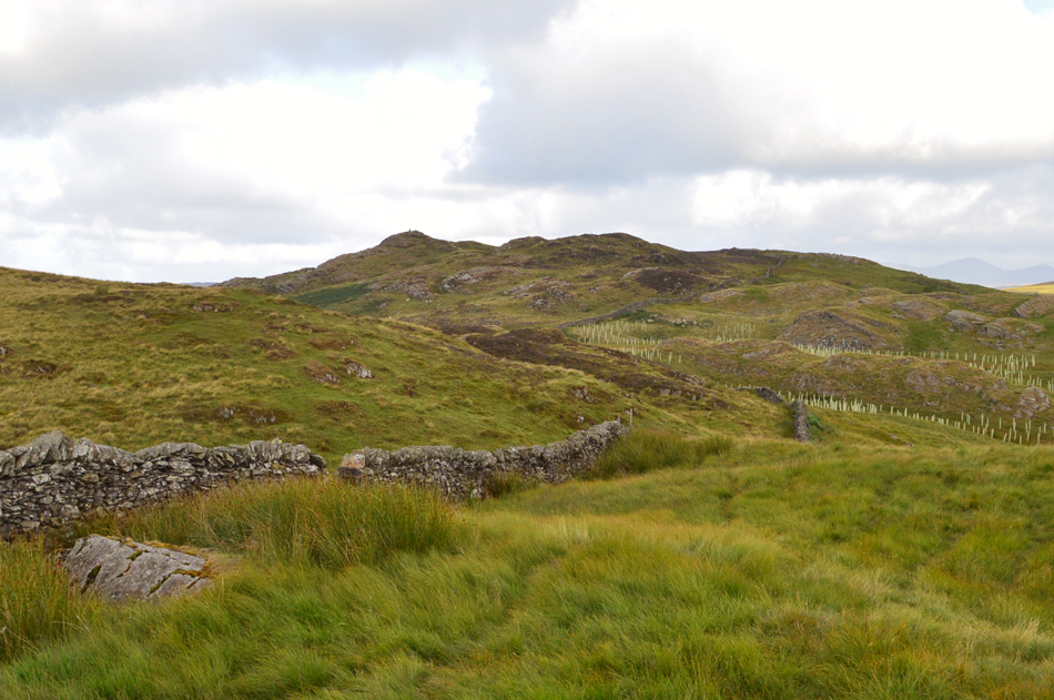
| Ancrow Brow. |
| This image sums up what walking the Bannisdale Horseshoe is all about, a pathless ridge and seclusion for as far as the eye can see. It was just me, the sun, the sky and my thoughts. |
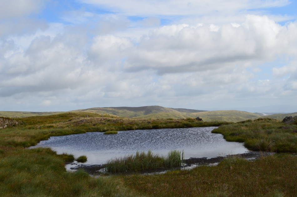 |
| Nameless Tarn close to Ancrow Brow. |
| My new boots had faired so well I hadn't given them a thought, that was until I christened them in the bog surrounding the tarn, oh well, they had to get wet some time. |
 |
| Skeggles Water and Cocklaw Fell from Ancrow Brow/Swinkle Bank Crag summit at 555' |
| |
 |
| Approaching Birketts Ancrow Brow summit at 540' |
| The black dot up ahead is the farmer on his quad bike who has re-appeared at Bannisdale Head after dropping into the valley. |
 |
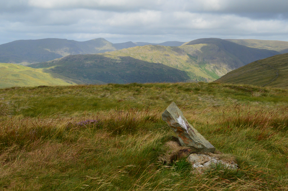
| Harter Fell (Mardale) Great Howe and Grey Grag (Longsleddale) from Ancrow Brow 540' summit. |
| |
 |
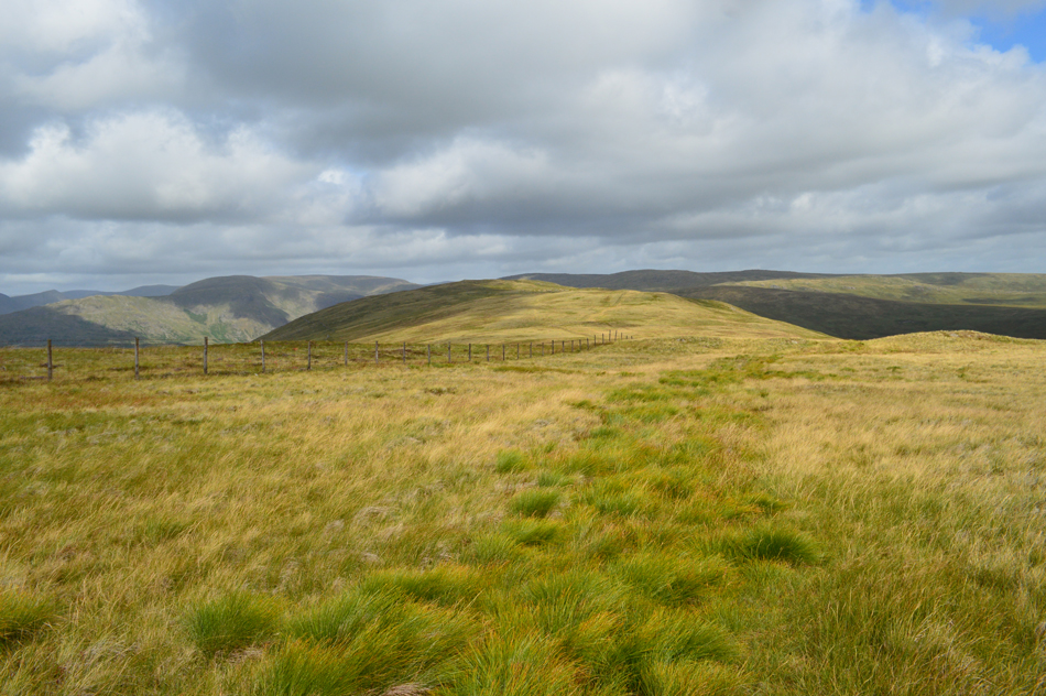
| The view over Lord's Seat, Robin Hood and Great Yarlside from Bannisdale Head. |
| Time for the return leg of the horseshoe now with Long Crag just under a mile away next on the agenda. |
 |
| Bannisdale from Bannisdale Head. |
| I hadn't noticed up until now but it appears that the clouds are starting to bubble up along with a strengthening wind. |
 |
| Ancrow Brow and Bannisdale Head. |
| With Bannisdale Head behind me I made the slight descent over Borrowdale Moss via a set of quad tracks. Birkett has advised to stay right while crossing the moss in order to avoid the worst areas but after weeks without rain I hardly encountered any bog at all. Up ahead the ridge started to rise just below Long Crag summit as I sighted three cairns perched diagonal upon a rocky outcrop, these cairns could easily be mistaken for Long Crag summit and what purpose they served I was unsure, perhaps Shepherds Cairns I'm still not sure. Beyond the cairns a stone wall which also ran diagona across the ridge marked the area directly below Long Crag summit. |
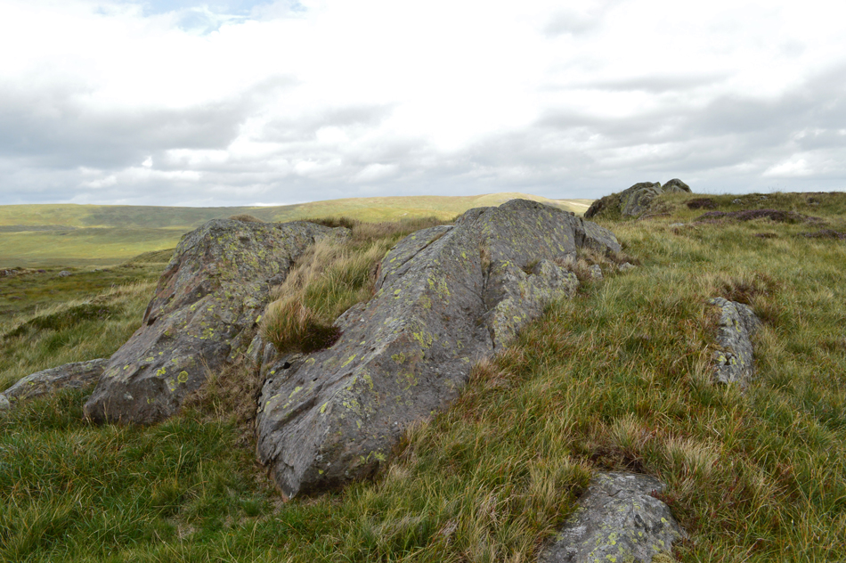 |
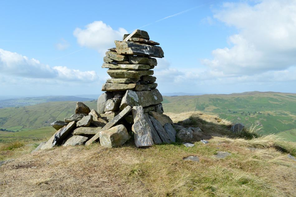
| The rocky outcrops that form Long Crag (Bannisdale Head) summit. |
| Sadly, no cairn marks the highest point. |
 |
| Looking back on Long Crag from the ascent of White Howe. |
| For no real reason back at Long Crag summit I sat myself upon one of the summit rocks and consulted Birketts route if only to stay true to the ridge crossing, it was from Long Crag does Birkett recommend to "pick the best line over uneven grassy terrain to cross the line of a ruined stone wall" Simple yet effective instructions. Here I look back after having chose the best line with all that's left of the stone wall seen running diagonal across the ridge. |
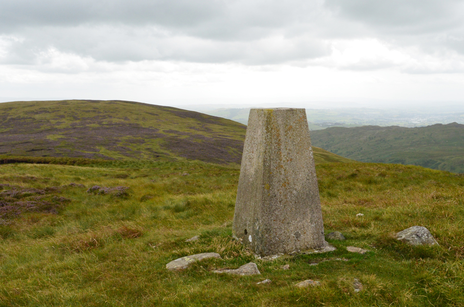 |
| White Howe summit trig point. |
| Having followed the stone wall until I could go no further without descending I crossed the heathery summit Plateau until the summit trig appeared into view. The trig was still a distance away and had to gained by negotiating blossoming heather which I look back as one of the highlights of the walk. |
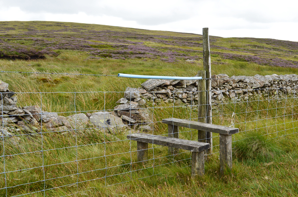 |
| Wooden style between White Howe and Borrowdale Head. |
| Some kind person has left a piece of plastic tubbing to stop folks clothing (and skin!) snagging on the barbed wire. |
 |
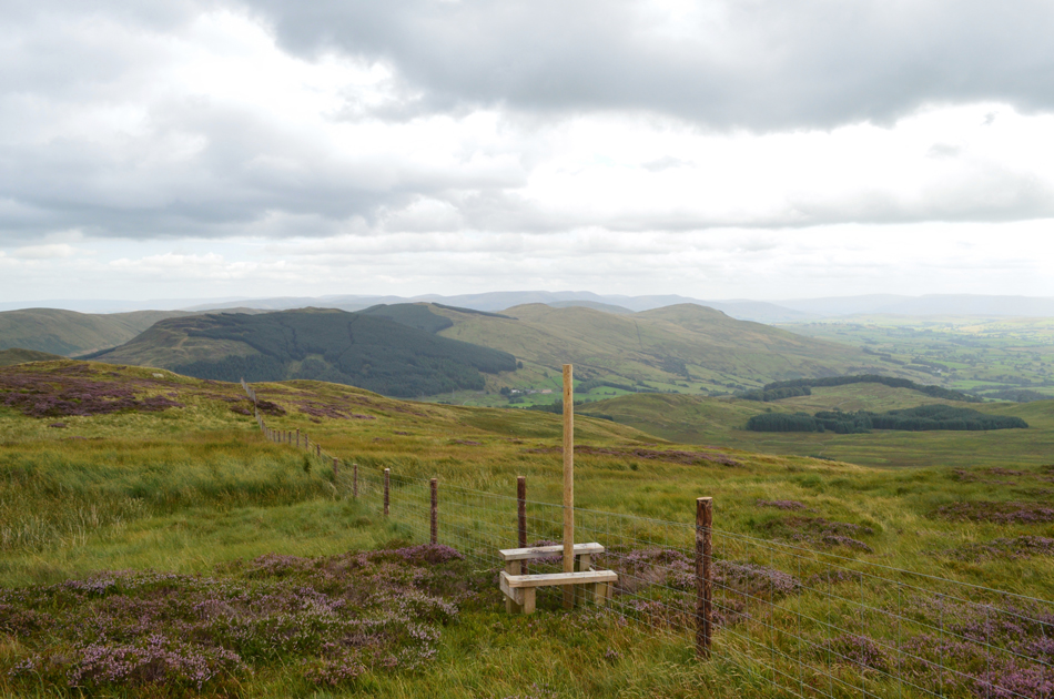
| Borrowdale Head (The Forest) summit |
| There was only a one hundred foot descent followed by another hundred foot ascent required in order to gain Borrowdale Head summit which I must admit felt much harder than it should have which I can only put down to the roughness of the ground underfoot. After crossing the wooden style I picked up a narrow path where one could only walk with one foot if front of the other rather than feet side by side. With a cooling wind on my back I shouldered Borrowdale Head and within a matter of seconds I was stood panting slightly while over looking the summit cairn. |
 |
| The Whinfell ridge seen shortly before the descent of Borrowdale Head. |
A much wider path traced to the east corner of Borrowdale Head before a sharp grassy descent was required to reach the grassy col which divided Borrowdale Head and Lamb Pasture, it was here I spotted an area of long grass which had been trodden down much like you would find in a crop circle, at first I thought it was a place where cattle or sheep would bed down but with no droppings, tracks in or out of the area I found this a little strange.
Time to ring Mulder and Scully me thinks. |
 |
| Lamb Pasture is just up ahead. |
| The grassy ground underfoot provided a little respite after the rough ground I'd been experiencing for the best part of the morning, it was here after passing through the gate did I make my way towards the stone wall seen in the distance before gaining todays final summit of Lamb Pasture. |
 |
| Bannisdale from Lamb Pasture summit. |
| Having easily gained Lamb pasture my first thought turned to lunch, after all it was twelve thirty but the wind was having none of it, It's best I drop down to valley level where l'll be able to eat more comfortably. |
 |
| Dryhowe Bridge. |
| Minus the construction workers who by now are hard at work re-routing Bannisdale Beck back in the valley. |
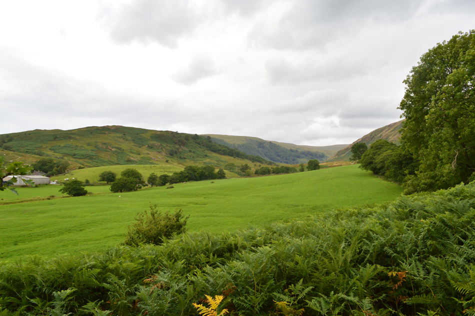 |
| Bannisdale from Dryhowe Bridge. |
I left Lamb Pasture as instructed by descending the summit to the right from where I picked my descent through thigh high bracken, below the terrace track that the construction workers used to gain the valley while just above the track a cluster of boulders beckoned from where I broke out lunch. This morning was the first time this Summer that I had started and ended a walk wearing a wind proof and glad I was of it in certain places but here, back at valley level Summer had returned which saw me remove my jacket before I tucked into lunch. A warm breeze dried the remaining sweat on my back as I tucked into two bacon sandwiches which I had bought from the petrol station the night before followed by a minty chocolate bar for afters. After lunch I flung my pack over my shoulder and walked the last half mile back to the car, most of which was up hill passing this mornings starting point.
With one last look over White Howe I packed my gear back into my car while soaking the last of the silence which was suddenly broken by the sound of a motorbike approaching over the brow, the bike appeared to only have one gear as the farmers boy rode by whilst raising his left hand from the handlebar to say Hi. |
|
| |
| Back to top |
 |
|